Table of Contents
- 🛰️ Harnessing the Power of Satellite Technology
- 🌱 Early Detection of Irrigation Needs and Crop Health Issues
- 📊 Easy-to-Understand Reports in Multiple Languages
- 📱 Accessible Across Multiple Platforms
- 📲 Stay Updated with WhatsApp Notifications
- 🚀 The Future of Farming is Here
- FAQs About Farmonaut and Satellite Imagery in Agriculture
🛰️ Harnessing the Power of Satellite Technology
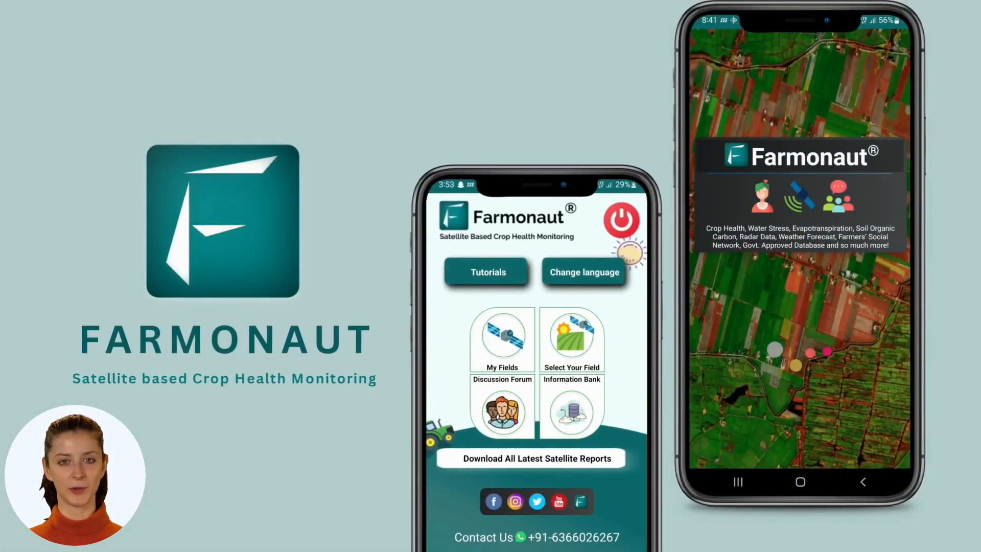
Farmonaut is a user-friendly app that provides invaluable insights about your farm using free satellite imagery for farms. Every 5 days, satellites capture high-resolution images of your fields. These infrared satellite images are then processed through Farmonaut’s advanced system, giving you access to 18 different parameters to identify areas that require attention.
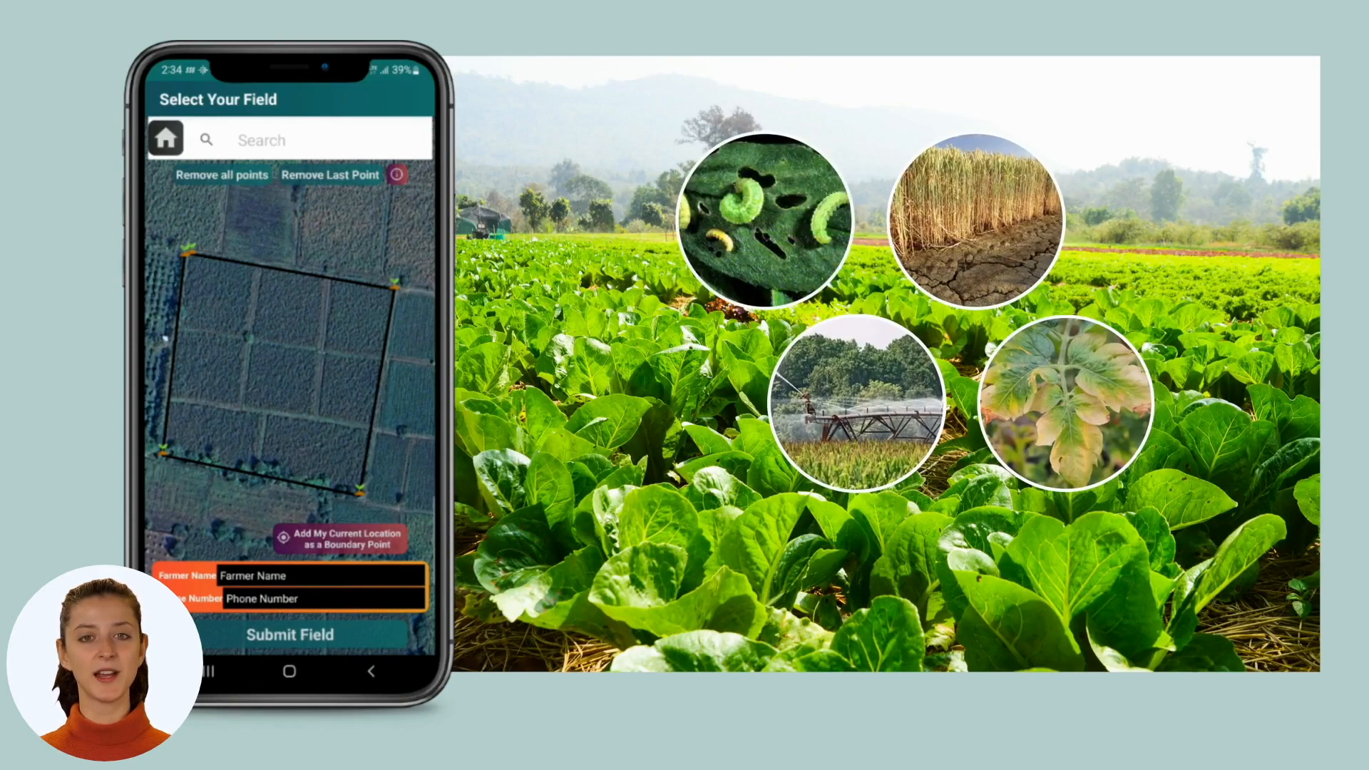
🌱 Early Detection of Irrigation Needs and Crop Health Issues
One of the most powerful features of Farmonaut is its ability to help farmers identify problem areas early. Using sophisticated analysis of infrared satellite imagery, the app can pinpoint:
- Sections of your farm that require irrigation
- Areas potentially affected by pests or diseases at an early stage
This early detection capability allows farmers to take proactive measures, potentially saving crops and improving overall yield.
📊 Easy-to-Understand Reports in Multiple Languages
Farmonaut doesn’t just provide raw data – it translates complex IR satellite image analysis into easy-to-understand reports. These comprehensive insights are available in over 50 languages, making the technology accessible to farmers worldwide.
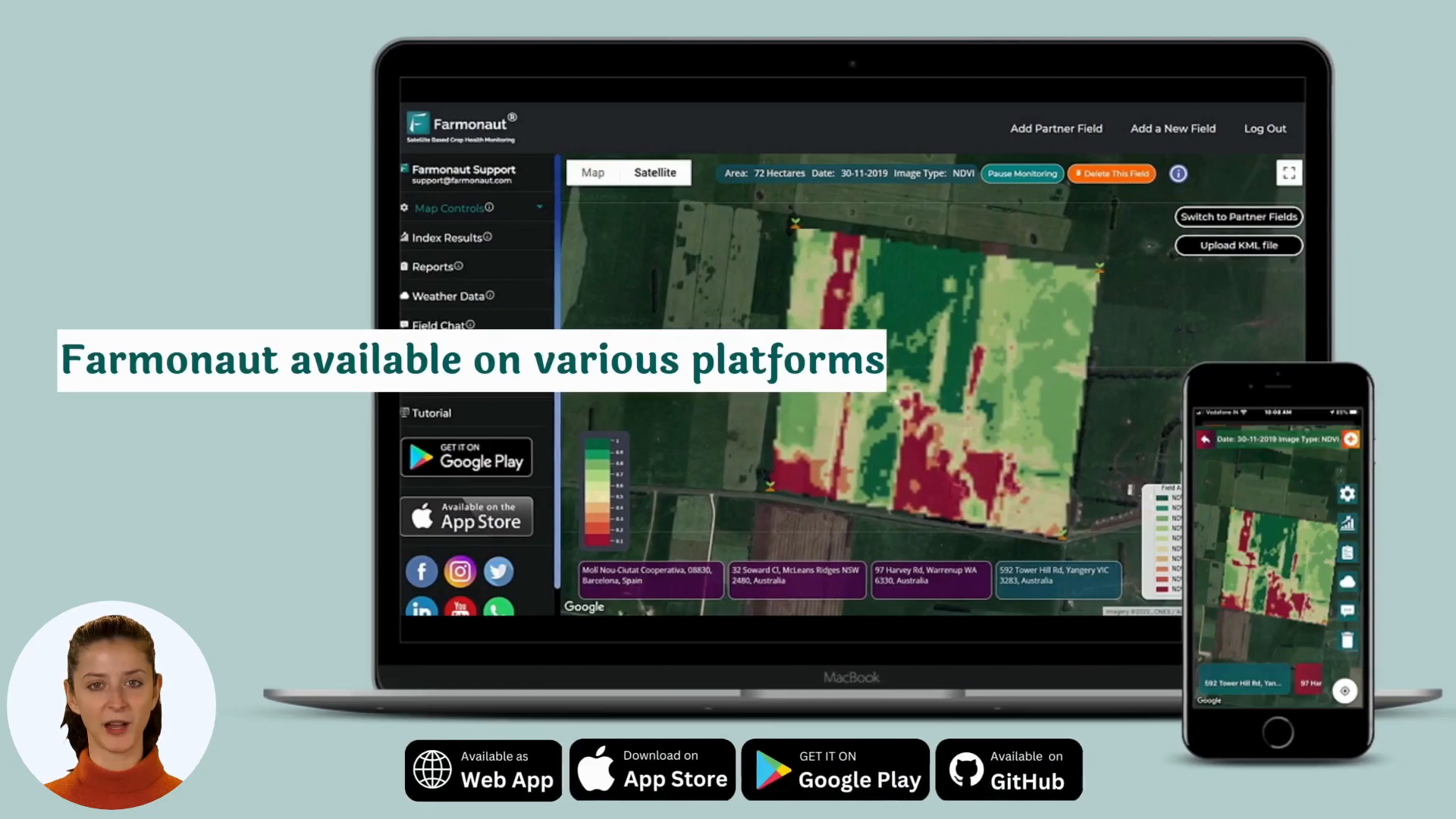
📱 Accessible Across Multiple Platforms
Flexibility and convenience are key features of Farmonaut. You can access the app through:
- Web application
- Google Play Store (for Android devices)
- Apple App Store (for iOS devices)
This multi-platform approach ensures that farmers can access crucial information about their fields anytime, anywhere.
📲 Stay Updated with WhatsApp Notifications
In addition to the app, Farmonaut keeps you informed through WhatsApp notifications. This feature ensures you’re always up-to-date on your farm’s health, even when you’re not actively checking the app.
🚀 The Future of Farming is Here
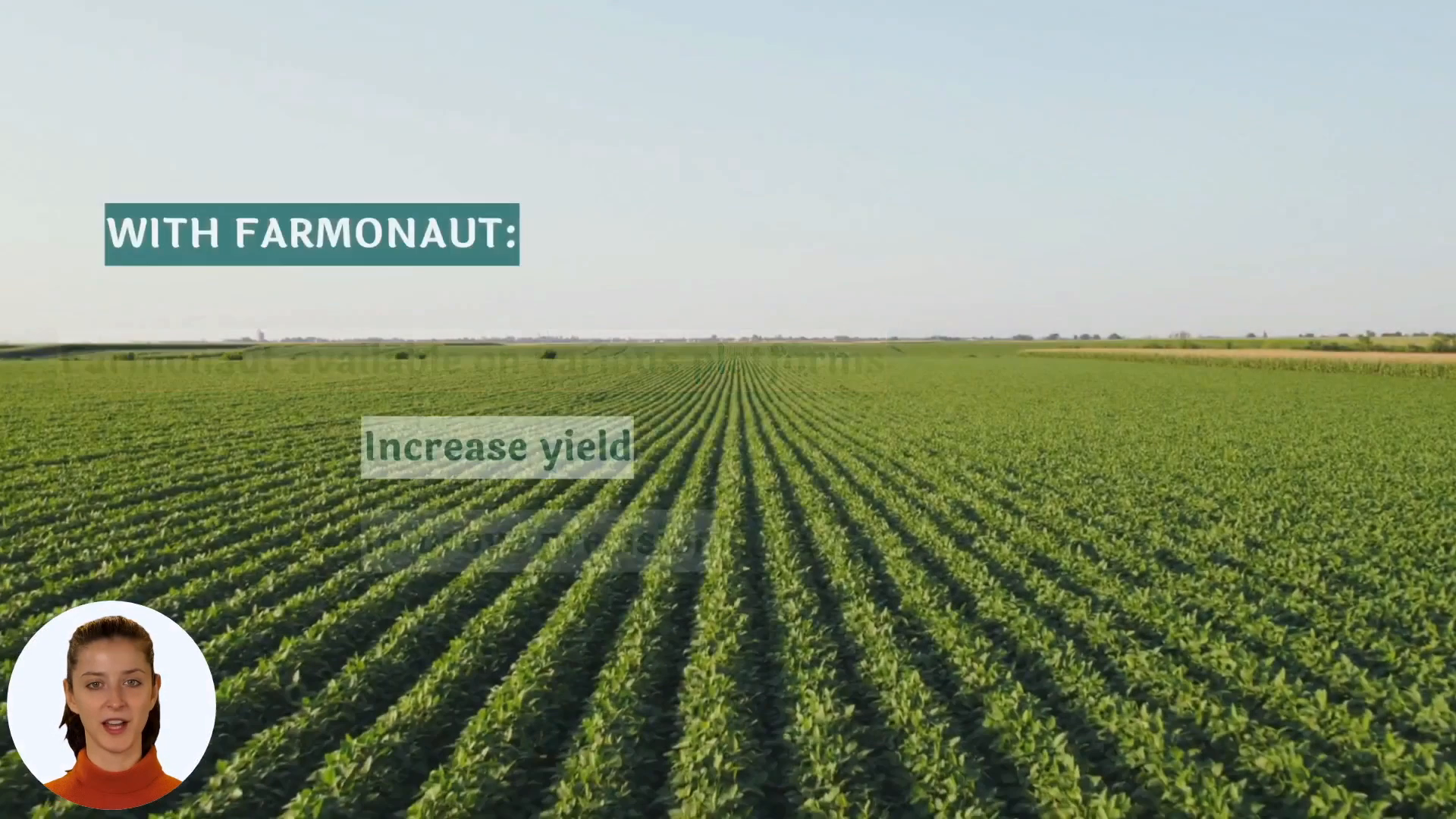
Farmonaut represents a significant leap forward in agricultural technology. By leveraging free satellite imagery for farms and advanced infrared satellite imaging techniques, it’s revolutionizing how farmers monitor and manage their crops. The ability to detect issues early, optimize irrigation, and make data-driven decisions can lead to improved crop yields and more sustainable farming practices.
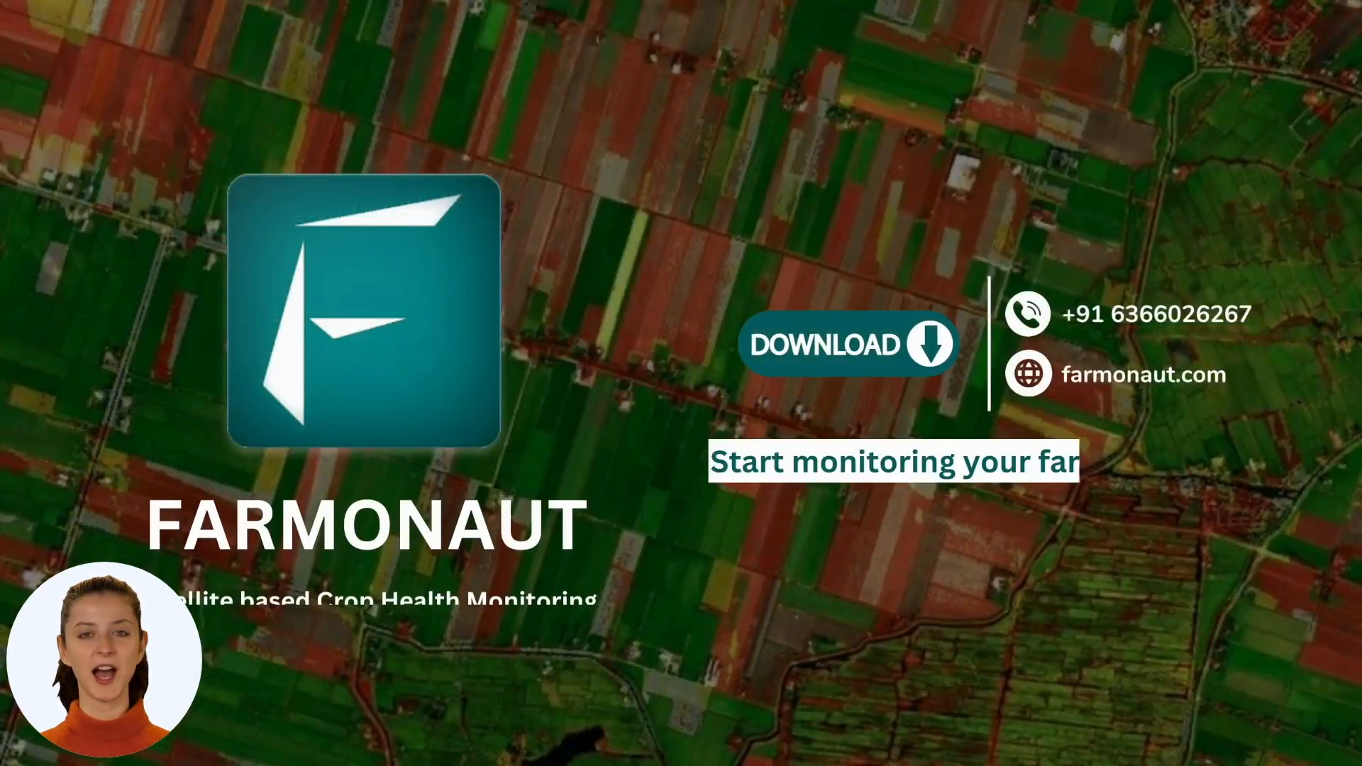
Don’t wait to bring your farming into the future. Download the Farmonaut app today and start monitoring your farm like a pro, all with the power of free agriculture satellite imagery at your fingertips.
FAQs About Farmonaut and Satellite Imagery in Agriculture
Q: How often does Farmonaut update its satellite imagery?
A: Farmonaut captures new satellite images of your farm every 5 days, ensuring you have access to up-to-date information about your fields.
Q: What types of issues can Farmonaut detect using infrared satellite images?
A: Using IR satellite imagery, Farmonaut can detect areas requiring irrigation, potential pest infestations, and early signs of crop diseases.
Q: Is Farmonaut available in my language?
A: Farmonaut offers reports in over 50 languages, making it accessible to farmers around the world.
Q: How can I access Farmonaut?
A: You can access Farmonaut through its web application, or by downloading the app from the Google Play Store or Apple App Store.
Q: Does Farmonaut offer real-time notifications?
A: Yes, Farmonaut provides notifications through WhatsApp to keep you updated on your farm’s health in real-time.
