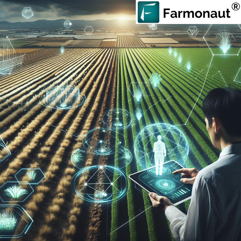
7 Ways to Boost Yields with Precision Land Management
“Precision land management can increase crop yields by up to 20% using advanced data analytics and satellite imagery.”
Understanding Precision Land Management (PLM)
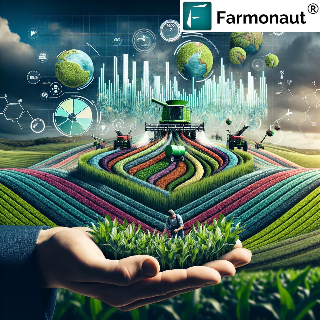
Precision land management (PLM) is an innovative and transformative approach in modern agriculture, farming, and forestry. It leverages advanced technologies and data analytics to optimize land use, boost yields, and promote environmental sustainability. By integrating tools such as Global Positioning Systems (GPS), Geographic Information Systems (GIS), remote sensing, and real-time monitoring, precision land management enables us to:
- Tailor land management practices to the unique spatial variability of soil properties, topography, and environmental factors.
- Enhance productivity and optimize resource use for each piece of land, field, or forest area.
- Minimize environmental impact by reducing resource waste, chemical runoff, and unnecessary disturbances.
This data-driven land management approach is revolutionizing how we manage land resources efficiently and responsibly across the globe, with mounting evidence supporting higher yields and improved sustainability. The adoption of precision land management systems signals a fundamental shift from traditional, one-size-fits-all practices to targeted, evidence-based strategies that adapt to on-the-ground realities.
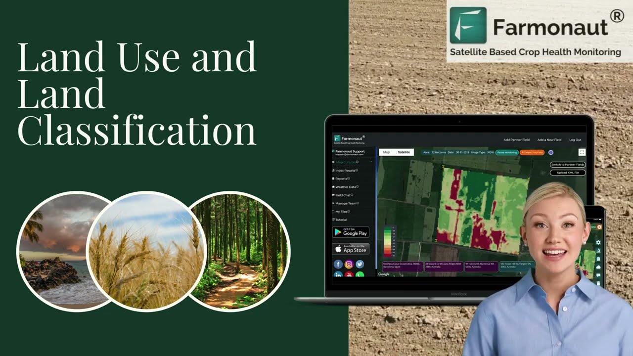
Watch How Farmonaut’s Satellite Technology is Revolutionizing Land Use in Agriculture for a comprehensive insight into the principles and practice of PLM:
Technological Foundations of Precision Land Management
The remarkable advancements in technology and data analytics are the pillars supporting precision land management. Let’s explore the technological components and how they integrate to drive this innovative approach:
1. Global Positioning Systems (GPS): The Backbone of Accuracy
- GPS provides accurate georeferencing of land features and equipment movements.
- Essential for precise mapping, planting, fertilization, and harvesting tasks.
- Enables real-time tracking, helping farmers and land managers maintain high accuracy in their operations.
Learn more about GPS applications and secure access to precision agriculture technology directly via the Farmonaut Platform.
2. Geographic Information Systems (GIS) in Land Management
- GIS integrates spatial data to analyze and visualize land characteristics, soil types, moisture levels, and more.
- Facilitates targeted management strategies by revealing the unique needs of each land area.
- Assists with mapping spatial variability and making informed decisions.
Discover the power of Farmonaut API Developer Docs for integrating GIS and spatial data analysis into your own management workflows.
3. Remote Sensing & Satellite Monitoring for Agriculture
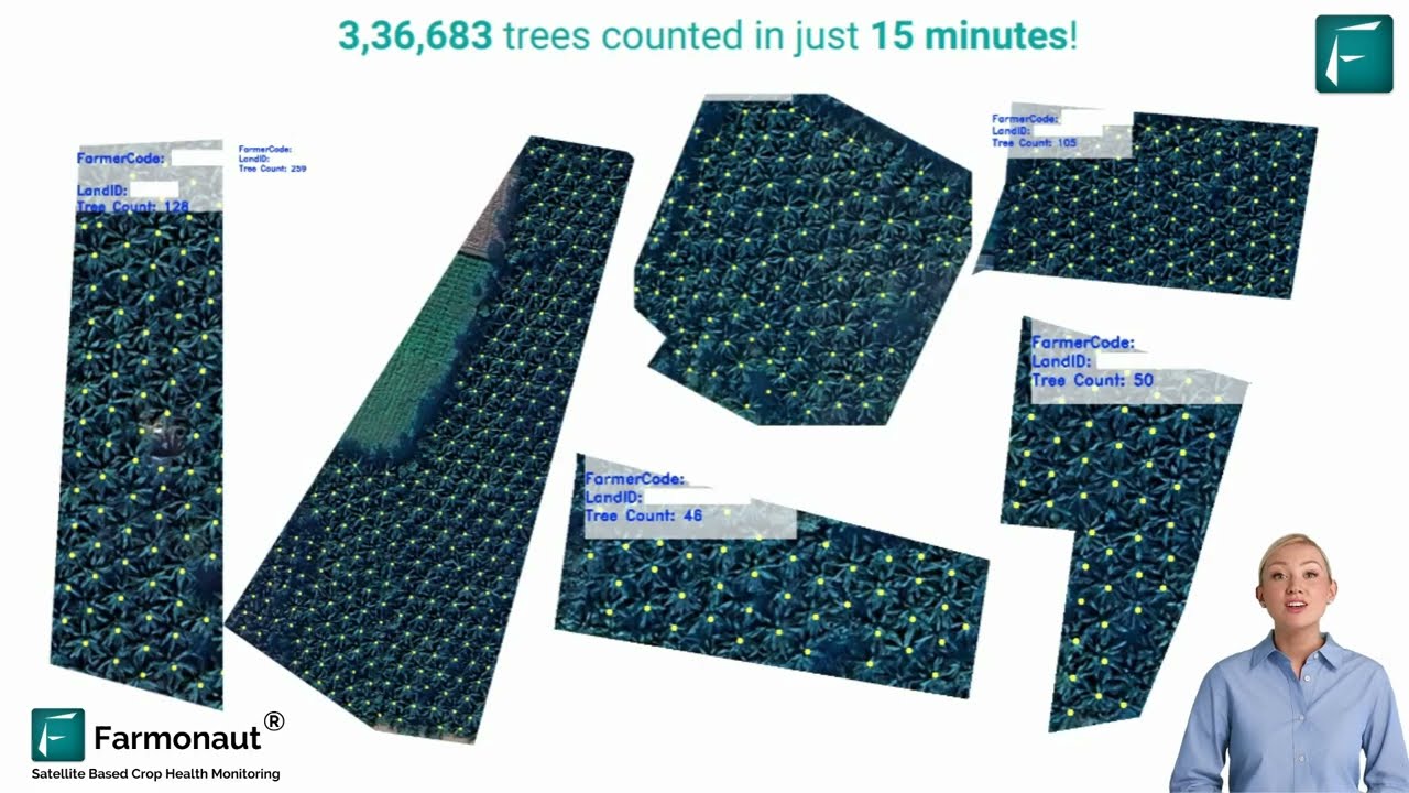
- Remote sensing uses satellite imagery and aerial drones to capture real-time data on soil conditions, crop health, and environmental variables.
- Enables early detection of issues like pest infestations, nutrient deficiencies, and moisture stress.
- Supports timely interventions and targeted implementation of solutions.
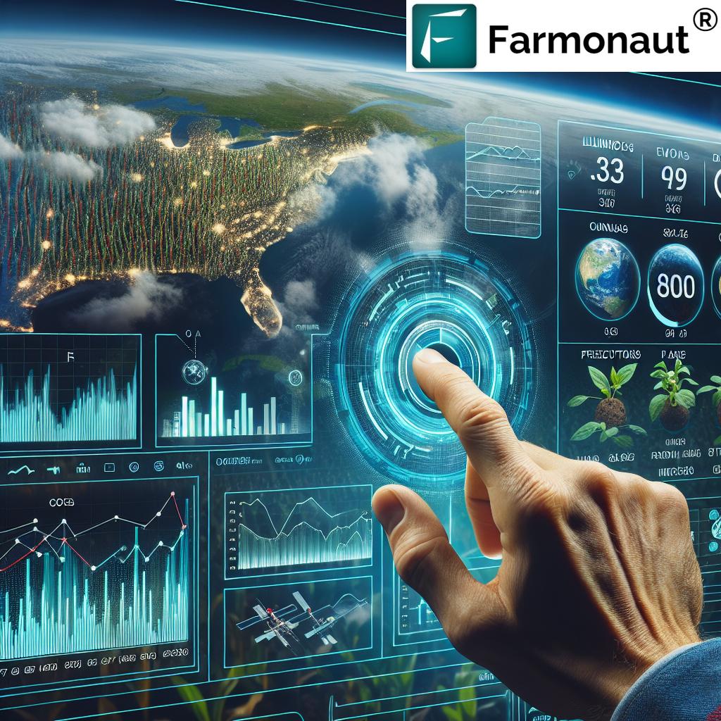
Farmonaut’s satellite-based platform empowers users to benefit from satellite monitoring for agriculture for real-time crop health monitoring—a key application of precision land management.
For forest managers and conservationists, explore Farmonaut’s crop plantation and forest advisory for advanced remote sensing in forestry.
4. Data Analytics & Machine Learning for Data-Driven Land Management
- Advanced analytics process vast datasets to identify patterns and predict outcomes for crop yields and forest growth.
- Machine learning algorithms forecast soil health, optimizing resource use, and improving operational efficiency.
- Drives true data-driven land management by enabling timely, informed decisions.
Want to automate data workflows? Check out Farmonaut’s API for seamless integration into custom analytics systems.
5. Internet of Things (IoT) and Real-Time Monitoring
- IoT sensors collect real-time information on soil moisture, temperature, and other environmental variables.
- Enables continuous monitoring and management of land resources.
- Enhances data accuracy and delivers granular visibility for targeted applications.
“Over 60% of modern farms now use precision technology to optimize fertilizer and water usage for higher productivity.”
7 Ways to Boost Yields with Precision Land Management
From advanced remote sensing to machine learning-powered decisions, precision land management offers a comprehensive toolkit for optimizing yield and sustainability. Here are seven powerful strategies to maximize your field or forest’s productivity:
-
1. Variable Rate Technology (VRT) for Inputs
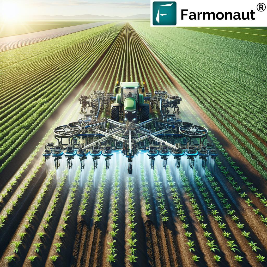
- Utilize VRT to apply fertilizer, water, and pesticides at varying rates across your land, matching the unique soil and crop conditions.
- Maximizes yield by ensuring every area receives optimal resources—not too much, not too little.
- Reduces costs and environmental footprint by avoiding overapplication.
-
2. Remote Sensing for Crop & Soil Health Monitoring
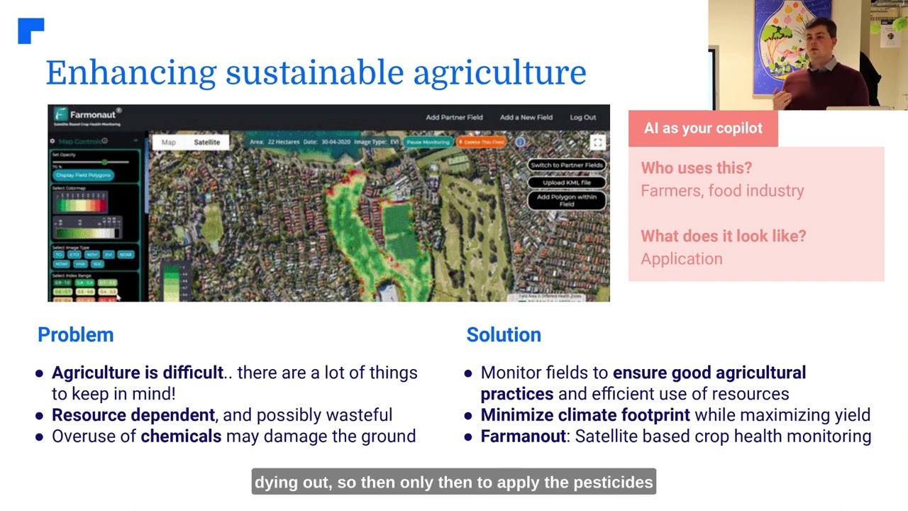
- Satellite and drone imagery allow for real-time monitoring of crop health, soil moisture, and stress factors.
- Enables early detection of pest outbreaks, nutrient deficiencies, or drought conditions, facilitating timely interventions.
- Farmonaut’s satellite-based platform delivers NDVI (Normalized Difference Vegetation Index) and other indices to guide precise field decisions.
-
3. Soil Mapping and Spatial Variability Analysis
- Detailed soil mapping using GIS and data analytics reveals the spatial variability of properties like pH, organic matter, moisture levels, and nutrient content.
- Facilitates tailored management practices for each zone—planting, irrigation, and fertilization optimized for local conditions.
- Supports sustainable soil management, preserving productivity over the long term and aligning with Farmonaut’s carbon footprinting solutions.
-
4. Real-Time Resource Management & Logistics Optimization
- Fleet management tools and satellite data ensure agricultural equipment is deployed most efficiently.
- Reduces operational costs and minimizes wasted fuel/time.
- Check out Farmonaut’s fleet management solutions for large-scale implementation.
-
5. Automated Farm Advisory Using AI and Machine Learning
- AI-driven advisories offer real-time weather forecasts, input recommendations, and optimal timeframes for field activities.
- Farmonaut’s Jeevn AI Advisory System analyzes satellite and sensor data for fully personalized recommendations—boosting productivity and reducing guesswork.
- For automation integration, explore Farmonaut’s large-scale farm management platform.
-
6. Blockchain-Based Traceability and Sustainability Tracking
- Ensures every product’s journey—from field to consumer—is secure and transparent.
- Enables blockchain-based traceability for compliance, consumer trust, and enhanced logistics management.
- Farmonaut offers advanced traceability solutions leveraging blockchain to authenticate supply chains.
-
7. Automated Machinery and IoT for Smart Operations
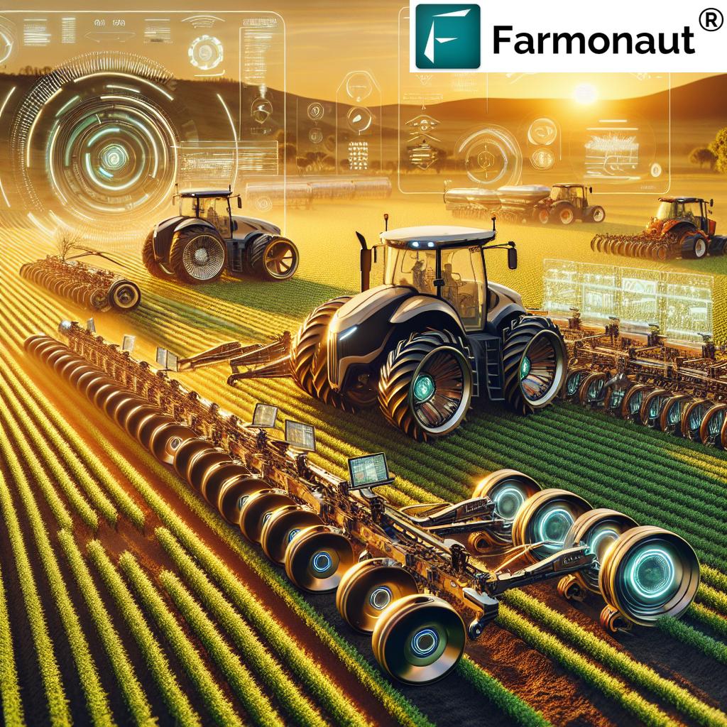
- Integrate autonomous tractors, harvesters, drones, and IoT sensors to streamline planting, spraying, and harvesting operations.
- Delivers consistent, efficient results and continuous real-time feedback for ongoing optimization.
- Supports soil health monitoring, reducing labor and operational errors.
Impact Comparison Table: Precision Land Management Techniques
The following table provides an at-a-glance comparison of different precision land management techniques, illustrating their estimated impact on both yields and sustainability:
| Technique | Description | Estimated Yield Increase (%) | Estimated Input Reduction (%) | Sustainability Impact | Example Application |
|---|---|---|---|---|---|
| Remote Sensing | Satellite/aerial imagery for real-time health & soil monitoring | 10–20 | 10–15 | High | Early pest detection, drought monitoring, yield optimization |
| Variable Rate Technology (VRT) | Input application at spatially-targeted rates | 15–25 | 20–40 | High | Fertilizer, water, pesticide application per zone |
| Soil Mapping | GIS analysis to map soil variability and condition | 8–15 | 10–20 | Medium | Zonal soil treatment, balancing pH & nutrients |
| Data Analytics | Big data to identify trends, forecast, and strategize | 10–20 | 10–15 | High | Yield prediction, targeted intervention planning |
| Drones | High-resolution imaging for site-specific decisions | 10–15 | 10–20 | Medium | Crop scouting, spraying, monitoring field conditions |
| Automated Machinery | Self-operating vehicles for precision operations | 12–18 | 8–14 | High | Autonomous tractors, planters, harvesters |
| IoT Sensors | Real-time monitoring of variables (moisture, temp, etc.) | 10–20 | 10–18 | High | Automated irrigation, soil health analytics |
Tip: For scalable and automated farm management, integrate several of these techniques through unified platforms like Farmonaut to receive the highest combined yield and sustainability gains.
Precision Land Management in Forestry and Land Conservation
While the focus is often on farm and field, precision land management has equally transformative effects in forestry and conservation settings:
- In forestry, satellite-based monitoring and remote sensing track tree health, growth rates, and detect insect or disease threats. This enables proactive, sustainable harvesting and supports reforestation.
- Conservation benefits from data analytics identifying zones susceptible to erosion, nutrient runoff, or invasive species. Interventions can be targeted to maximize effectiveness and bio-diversity preservation.
Explore Farmonaut’s forest and plantation advisory tools for integrating cutting-edge forestry PLM in day-to-day operations.
Benefits of Precision Land Management & Environmental Sustainability in Farming
-
Enhanced Productivity and Yield:
By optimizing resource use, adapting to soil variability, and responding rapidly to environmental threats, farmers and land managers can consistently achieve higher yields and forest growth rates. -
Cost Efficiency and Reduced Waste:
Targeted application of inputs ensures that resources (water, fertilizer, and pesticides) are used only where and when needed, drastically reducing costs and minimizing waste. -
Promoting Environmental Sustainability in Farming:
Precision land management minimizes chemical runoff, conserves soil health, and reduces water use—essential steps for sustainable land management. Platforms like Farmonaut’s carbon footprinting help agribusinesses monitor and reduce their environmental impact in real time. -
Risk Mitigation and Resilience:
The ability to monitor and respond to environmental changes or threats (pest outbreaks, weather extremes) enables greater flexibility and risk mitigation strategies—critical as climate variability increases. -
Transparency and Consumer Trust:
Blockchain-based traceability enables transparent, fraud-resistant supply chains, strengthening trust and ensuring compliance with sustainable sourcing requirements. -
Scalability and Accessibility:
Modern PLM tools—especially satellite and app-based solutions—are scalable to large and small operations. Farmonaut, for instance, makes precision agriculture affordable and accessible even to smallholder farmers worldwide.
Challenges and Considerations in Precision Land Management
While adoption rates are rising, implementing PLM systems still comes with certain challenges:
-
High Initial Investment:
Acquiring advanced technologies (drones, sensors, software) and establishing data infrastructure can be costly for some small-scale operations. Affordable platforms like Farmonaut are helping to lower these barriers. -
Data Management Complexity:
Large data volumes necessitate robust processing, storage, and analytics capabilities—demanding technical skillsets and infrastructure. -
Technological Integration:
Seamlessly combining different systems (GPS, GIS, drones, IoT) into one unified operational workflow requires careful planning and sometimes custom solutions. -
Training and Education:
Farmers and land managers must acquire training to maximize the benefits of PLM tools, interpret the data, and adjust their practices accordingly.
Farmonaut offers extensive user resources to help bridge these gaps, including API developer docs and in-app guidance, supporting the successful implementation of PLM even for new adopters.
Future Outlook of Precision Land Management
The future of precision land management is incredibly promising. As technology and data analytics continue to evolve, several exciting trends are shaping the next generation of advanced land management strategies:
- AI-Driven Predictive Analytics: Artificial intelligence is powering new levels of forecasting accuracy for crop yields, soil health, and resource allocation.
- IoT-Based Autonomous Systems: Connected sensors and machinery are enabling fully automated land operations, with minimal human intervention required for monitoring and adjustments.
- Collaborative Data Sharing Platforms: Networked platforms allow farmers, researchers, and policymakers to share data, improve best practices, and unlock the value of collective intelligence.
- Sustainable Agriculture Solutions: New tools are emerging for carbon tracking, biodiversity management, and more—helping to align on-farm productivity with global sustainability goals.
As more operations embrace these advancements, precision land management will play a pivotal role in securing the food, fiber, and resources needed for the world’s growing population.
Farmonaut: Making Precision Land Management Accessible
At Farmonaut, our mission is to democratize precision agriculture technology and make advanced land management solutions affordable and accessible for farmers of all scales. By leveraging a combination of satellite imagery, AI, blockchain, and machine learning, we address real-world farming challenges and maximize sustainability.
- Real-Time Satellite Monitoring: Our platform delivers multispectral data for accurate crop health monitoring, soil moisture analytics, and resource usage insights.
- AI-Based Advisory: The Jeevn AI System offers farm-specific, actionable advice on crop management, weather, and input allocation.
- Blockchain Traceability: Every product’s journey is transparent, traceable, and secure—ideal for food and textile industries seeking supply chain trust.
- Fleet & Resource Optimization: Enhance logistics, reduce costs, and track vehicles through our in-app fleet management tools.
- Carbon Footprinting: Real-time tracking of farm and corporate carbon emissions for compliance and marketing sustainability commitments.
Our ecosystem is available on Android, iOS, Web, and API, serving small farmers, large agribusiness, and institutional land managers.
Explore our flexible subscription plans for personalized solutions and scalability:
Frequently Asked Questions (FAQ) — Precision Land Management
What is precision land management and why is it important?
Precision land management is the use of advanced technologies and data analytics to manage land resources with high accuracy. It’s important because it enables farmers and land stewards to enhance yields, reduce waste, and minimize environmental impact—all by tailoring inputs and operations to the unique needs of every field or forest.
How does remote sensing help optimize crop yields?
Remote sensing uses satellite and drone imagery to monitor crop health, soil moisture, and environmental conditions in real time. This allows for early detection of stress, enabling timely interventions and ensuring every field area gets the precise care it requires, directly supporting yield optimization.
What role does GIS play in land management?
GIS (Geographic Information Systems) provides spatial analysis and visualization of land characteristics, helping to identify soil types, variability, and other crucial factors. This allows for targeted management decisions that improve productivity and sustainability.
Can small farms afford precision land management tools?
Yes! Platforms like Farmonaut reduce cost barriers by relying on affordable satellite imagery rather than expensive field hardware. The subscription model allows small farms to benefit from data-driven insights previously accessible only to large-scale operations.
How does blockchain enhance traceability in agriculture?
Blockchain technology records every stage of a product’s journey from farm to consumer, creating a secure, tamper-proof record. This enables complete traceability, reducing fraud and increasing consumer trust in supply chains.
What are the main challenges in implementing precision land management?
Main challenges include initial investment in technology, managing complex data, integrating different systems, and ensuring sufficient training for users. However, user-friendly platforms and robust support services are making adoption easier every year.
Conclusion: Unlocking Sustainable Yields with Precision Land Management
Precision land management represents a bold leap forward for agriculture, farming, and forestry, fusing technology with data analytics for smarter, more sustainable land use. As we move into a world increasingly shaped by climate variability and resource constraints, these advanced land management strategies offer the promise of higher productivity, lower resource waste, and a smaller environmental footprint.
By embracing tools like remote sensing, GIS, IoT sensors, and blockchain-based traceability, land stewards everywhere can unlock new levels of yield and resilience. Farmonaut is proud to be at the frontier of this transformation, providing accessible, scalable, and affordable solutions that empower everyone from smallholder farmers to large agribusinesses.
Are you ready to harness the full potential of your land? Start optimizing your yield and sustainability with Farmonaut’s precision land management platform today.


