What Is Satellite Farming? 7 Powerful Ways It Boosts Yields
- Introduction
- Understanding Satellite Farming
- Key Components of Satellite Farming
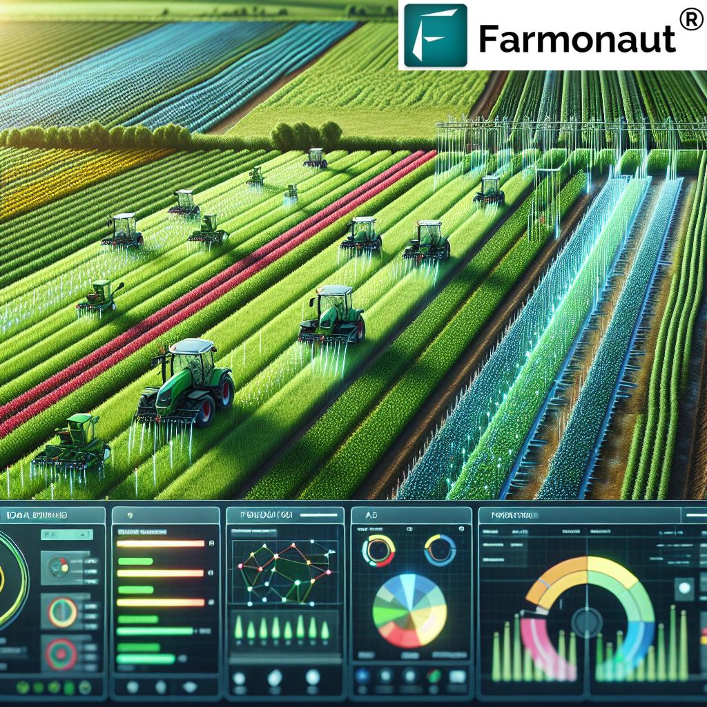
- How Satellite Farming Boosts Yields: 7 Powerful Ways
- Satellite Farming: Features & Impact Table
- Benefits of Satellite & Precision Agriculture
- Challenges and Considerations
- The Farmonaut Approach
- Frequently Asked Questions (FAQ)
- Conclusion
Satellite farming, synonymous with precision agriculture, is at the forefront of the technology revolution in modern agriculture. This innovative approach uses satellite imagery, remote sensing, and GIS mapping to deliver real-time, data-driven insights about field and crop conditions. By harnessing these advanced technologies, farmers can efficiently monitor crop health, manage resources, optimize yields, and implement sustainable agricultural practices.

The heart of satellite farming lies in using data from satellites equipped with advanced multispectral sensors. This wealth of information enables farmers to take proactive measures—whether it’s combating pest infestations, fine-tuning irrigation strategies, or precisely managing fertilizer applications. In a world facing mounting challenges of food security, environmental stress, and climate change, the adoption of satellite-driven precision agriculture signals hope for increased productivity, resource efficiency, and sustainability.
Understanding Satellite Farming
Satellite farming—also called precision agriculture—refers to the use of satellite imagery, remote sensing, and geographic information systems (GIS) for monitoring, managing, and optimizing agricultural activities. This approach gives farmers detailed, actionable insights about their fields, crops, soil, and the environment. The result? More informed decisions, improved resource utilization, enhanced yields, and better sustainability.
Let’s explore how satellite and precision technologies have evolved into indispensable tools for modern farmers:
- Satellite farming provides regular, high-resolution data over vast land areas, detecting variations in crop health, soil moisture, and nutrient availability—even at the sub-field level.
- Using GIS mapping for farms, farmers can visualize spatial differences in their land, enabling targeted interventions and reducing wasted resources.
- Remote sensing in farming opens the door to real-time monitoring of plant conditions, environmental stressors, and potential threats.
This data-centric method fundamentally redefines the way agriculture is practiced—shifting from intuition and guesswork to precise, scientific crop management.


Key Components of Satellite Farming
Effective satellite farming relies on several technological pillars. Below are its essential components:
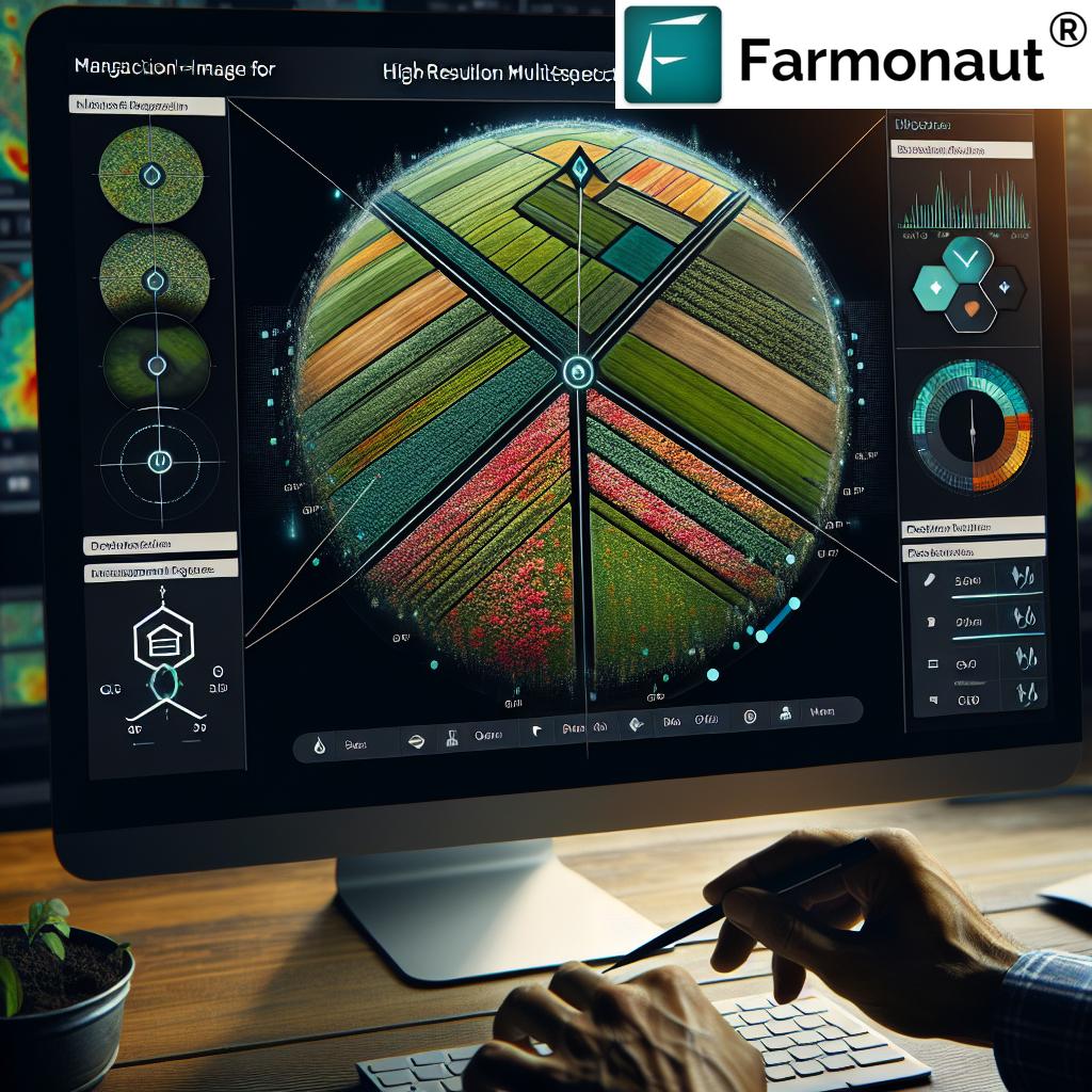
1. Satellite Imagery & Remote Sensing in Farming
Modern satellites are equipped with multispectral sensors—capturing images across various light spectrums (visible, near-infrared, thermal, etc.). These images are processed using advanced algorithms to generate actionable insights about:
- Crop health: Assessing plant vigor, pest, and disease stress.
- Soil moisture: Mapping moisture levels to optimize irrigation.
- Nutrient availability: Identifying areas with deficiencies or surpluses.
- Environmental factors: Temperature, humidity, and potential climate anomalies.
This remote sensing in farming enables early detection of issues and supports timely interventions, helping farmers minimize crop loss and boost productivity.
Learn more about how satellite imagery for agriculture delivers precision insights & applications.
2. GIS Mapping for Farms
Geographic Information Systems (GIS) integrate satellite data with location-based field information. This enables precise mapping of:
- Spatial variations in fields
- Problem hotspots and healthy zones
- Customized management of different field sections
GIS mapping for farms is crucial for implementing precision agriculture techniques tailored to specific field zones—whether it’s applying variable rates of fertilizer, irrigation, or seeds. This precision reduces waste, saves costs, and limits environmental impact.
3. Global Positioning System (GPS) Integration
Utilizing GPS provides accurate geolocation data for every task in the field—from planting and fertilizing to spraying and harvesting. This ensures:
- Precise application of agricultural inputs
- Facilitation of site-specific management
- Reduced overlap and waste of resources
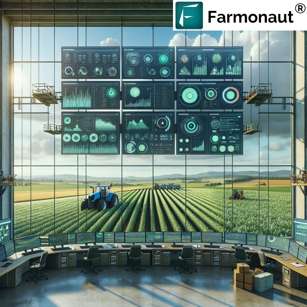
4. Data Processing & Decision Support Tools
The vast amount of imagery and sensor data captured by satellites is processed using advanced AI, machine learning, and analytics platforms. These platforms generate actionable recommendations for:
- Fertilization, pest/disease management, irrigation scheduling
- Yield prediction in agriculture
- Sustainable farming practices
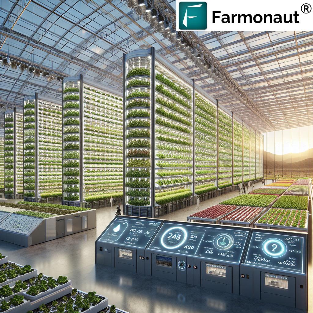
Solutions such as the Farmonaut platform offer these capabilities via web and mobile apps, ensuring that farmers—large and small—can access precision agriculture tools affordably and efficiently.
Explore the Farmonaut Satellite & Weather Data API for seamless integration and data-driven apps.
See Farmonaut API Developer Docs for detailed technical information.
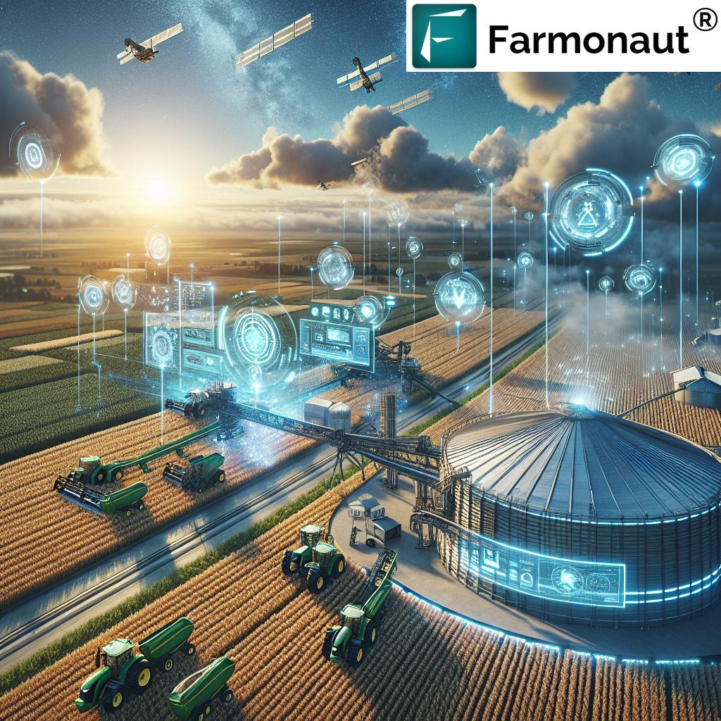
How Satellite Farming Boosts Yields: 7 Powerful Ways
The applications of satellite farming stretch far beyond basic crop monitoring. Here are the seven most powerful methods by which satellite-based precision agriculture transforms farming and improves crop yields:
-
1. Crop Health Monitoring (Early Detection & Targeted Interventions)
- Using multispectral satellite imagery, farmers can detect early signs of pest infestations, diseases, and nutrient deficiencies—before they’re visible by eye.
- This real-time monitoring enables targeted interventions (e.g., spot-treating infected zones), thus minimizing crop loss and maximizing healthy yields.
- Read more about crop health monitoring with satellite farming.
-
2. Soil Moisture Analysis & Fertility Management
- By analyzing satellite data, we can assess soil moisture levels and nutrient distribution across fields—critical for precision irrigation and fertilization.
- This approach delivers efficient irrigation (saving water) and ensures crops receive nutrients exactly when and where needed.
- Explore satellite-driven soil and nutrient management systems.
-
3. Yield Prediction in Agriculture & Harvest Planning
- Continuous monitoring of crop growth and field conditions allows for accurate yield estimation.
- This helps plan harvest schedules, allocate resources, and make informed market decisions—improving profitability and minimizing loss.
- Discover advanced yield prediction methods.
-
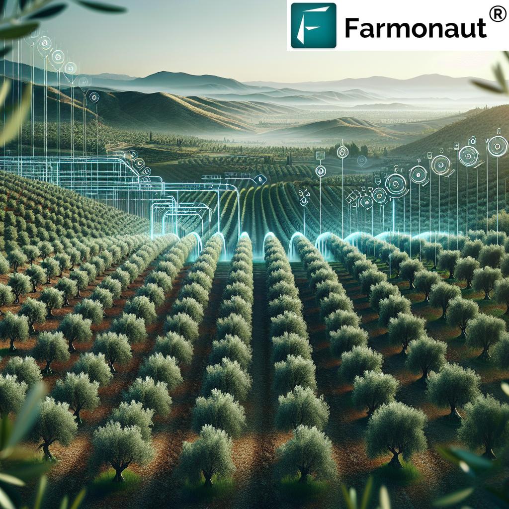
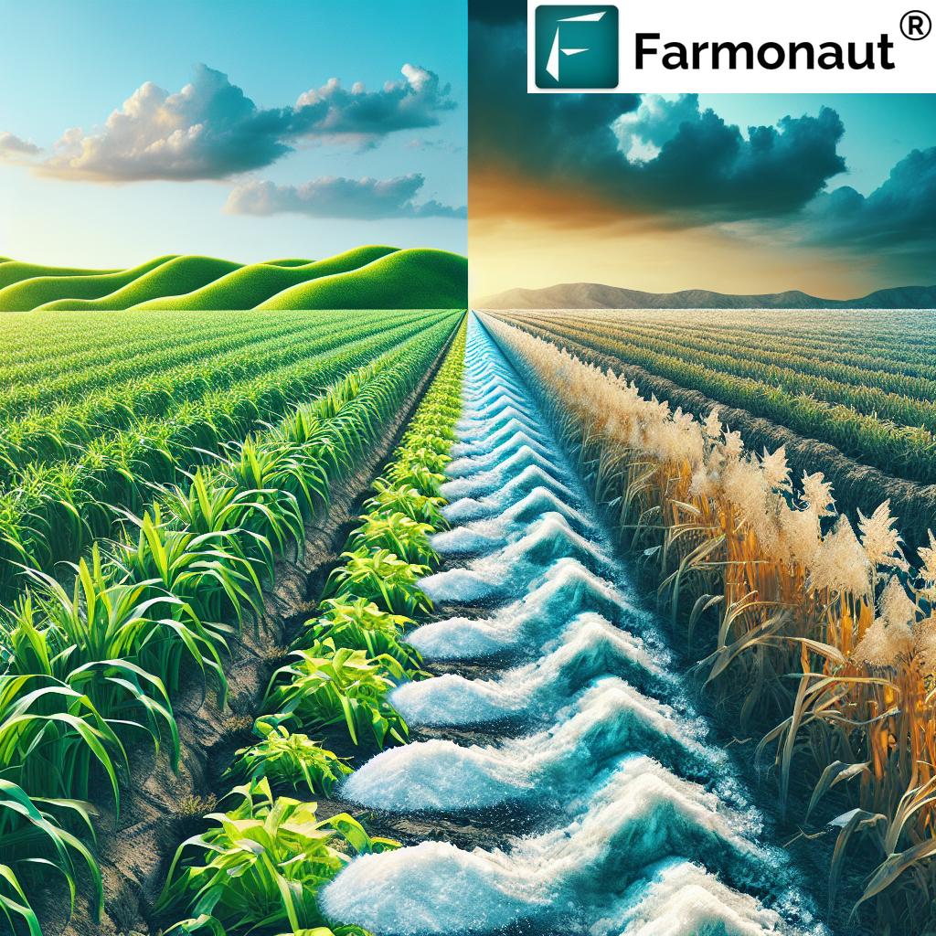
4. Precision Irrigation Techniques
- Satellite data identifies areas within fields requiring additional or reduced irrigation.
- Helps avoid over- or under-watering—conserving water resources and preventing waterlogging or drought stress.
-
See how precision irrigation drives sustainable water use.
-
5. Fertilization Optimization (Variable Rate Applications)
- Satellite imagery reveals spatial variations in crop growth and soil nutrient status.
- Farmers apply fertilizers and inputs in precise quantities to each field section—reducing costs and limiting environmental pollution.
-
Learn about sustainable fertilization and cost savings with satellite farming.
-
6. Resource Management & Reducing Waste
- Farmers use satellite insights to optimize machinery, input usage, and labor deployment.
- Reduction in waste and input costs increases overall efficiency and farm profitability.
-
Read about benefits of satellite-based resource management.
-
7. Sustainability & Climate Resilience
- Satellite farming enables ongoing analysis of environmental impact, carbon footprint, and climate-related risks.
- This data supports the adoption of sustainable farming practices and climate adaptation measures.
-
Explore Farmonaut’s carbon footprint tracking for environmental sustainability in agriculture.
Satellite Farming: Features & Impact Table
| Technique | Satellite Technology Used | Estimated Yield Improvement | Sustainability Benefit |
|---|---|---|---|
| Crop Monitoring/ Health Assessment |
Multispectral Remote Sensing, High-Res Imagery |
+10–15% | Minimized pesticide & chemical use, early intervention reduces crop loss |
| Soil Moisture & Nutrient Analysis | Thermal Satellite Imaging, NDVI Mapping |
+10–18% | Significant water savings, targeted nutrient application |
| Yield Prediction & Harvest Planning | Time-Series Satellite Imagery, Data Analytics |
+7–14% | Reduces post-harvest loss, optimizes harvest timing & logistics |
| Precision Irrigation | Soil Moisture Analysis, Remote Sensing |
+12–22% | Reduced water consumption, prevents waterlogging/drought |
| Fertilization Optimization (Variable Rate Mapping) |
GIS Mapping, Satellite NDRE/NDVI Bands |
+8–15% | Lower fertilizer runoff, reduced input costs |
| Resource Management | GPS Tracking, Geospatial Analytics |
+10–20% | Less machinery waste, lower fuel & labor costs |
| Sustainability & Climate Adaptation | Long-Term Satellite Data, Environmental Monitoring Tools |
+5–12% | Supports climate resilience, carbon tracking, & sustainable farming |
Curious about risk management? Farmonaut’s crop loan and insurance verification leverages satellite data to streamline approvals and reduce fraud for better financial access.
For agribusinesses and cooperatives, our Fleet Management tools increase efficiency with GPS tracking and optimized machinery deployment.
Looking for supply chain transparency? Farmonaut’s blockchain-based traceability safeguards food authenticity and consumer trust.
Benefits of Satellite & Precision Agriculture
Adopting satellite farming delivers measurable gains for farmers, agribusinesses, and the environment:
- Enhanced Resource Efficiency: Apply inputs (fertilizers, water, pesticides) only where & when needed, lowering costs and reducing waste. Read about resource efficiency via satellite agriculture.
- Improved Crop Yields: Real-time insights allow timely correction of issues, boosting crop productivity and quality. Explore yield improvements via precision agriculture.
- Sustainable Farming Practices: Optimize water and chemical use—minimizing environmental impact and supporting long-term soil health. See how sustainability thrives with new farming technology.
- Climate Adaptation: Satellite data tracks vegetation changes and soil trends over time, providing farmers with knowledge to build climate resilience.
- Profitability: Reduced input, lower losses, and access to better market information lead to higher returns for every hectare.
Challenges and Considerations
- Data Interpretation & Analysis Tools: Processing the large volumes of satellite data requires advanced analytical tools and expertise. Small-scale farmers may need training or access to user-friendly platforms.
- Cost of Technology: Deploying high-resolution satellite imagery and decision platforms may involve upfront costs—though innovative providers like Farmonaut work to make this affordable and accessible globally.
- Data Accessibility: Not all farmers have equal access to high-frequency satellite scans, especially in remote areas or where connectivity is limited.
- Integration with Farm Practices: Success depends on farmers’ willingness to adopt data-guided practices and adjust traditional methods to embrace digital transformation.
To address these issues, it’s critical to choose service providers focused on user-friendly interfaces, affordable pricing, and on-the-ground support.
The Farmonaut Approach to Satellite Farming
We at Farmonaut specialize in democratizing satellite farming technology for all by making precision agriculture tools affordable, accessible, and actionable for farmers, agribusinesses, governments, and the agricultural ecosystem at large.
What Makes Farmonaut Unique?
- Advanced Crop Health Monitoring: Our multispectral satellite imagery delivers instant updates on crop health, soil moisture, and vegetation stress, enabling farmers to act before visible signs appear.
- AI-Based Advisory: Jeevn AI is our exclusive advisory system, analyzing satellite and environmental data to provide farmers with real-time advice, weather alerts, and management strategies—directly through our apps.
- Blockchain Traceability: Our blockchain system enables transparency and authenticity for food producers, textile companies, and consumers—ensuring traceable, fraud-proof farm-to-market journeys.
- Fleet & Resource Management: Using real-time GPS analytics, agribusinesses optimize vehicle and machinery use, reducing costs and boosting safety.
- Environmental Sustainability: Through carbon footprint tracking, we help farms monitor emissions and take action towards greener farming.
- Financial Accessibility: Our crop loan & insurance verification tools use satellite data for reliable, fair lending and insurance programs.
- Scalable for All: Whether you’re a smallholder, a corporate agribusiness, or a government agency—our subscription and API access models are designed to scale with your needs and farm size.
Our mission is to empower farmers and agricultural stakeholders globally with sustainable, profitable, and data-driven solutions. Get started today—no matter your farm’s size or geography.
Frequently Asked Questions (FAQ)
Conclusion: Embracing Satellite Farming for a Productive, Sustainable Future
Satellite farming is a breakthrough in the world of modern agriculture. By leveraging satellite imagery, remote sensing in farming, and precision data analytics, farmers and land managers can monitor, analyze, and optimize every hectare. This leads to higher crop yields, lower input costs, and real progress towards global sustainability goals.
If you’re ready to transform your farm with satellite-driven insights, farm management tools, and AI-powered recommendations, get started with the Farmonaut platform today.
With the right technology, knowledge, and tools, the future of farming is efficient, productive, and truly sustainable.