Revolutionizing Earth Intelligence: How Austin’s Advanced Satellite Analytics Platform is Transforming Business Insights
“Advanced satellite analytics platforms can now provide real-time earth observation data from high-resolution satellites for various business applications.”
In the heart of Texas, a groundbreaking technology is reshaping how businesses gather and analyze crucial intelligence from space. Austin’s advanced satellite analytics platform is revolutionizing earth intelligence, offering unprecedented access to high-resolution satellite insights and transforming decision-making processes across industries. We’re excited to delve into this cutting-edge technology and explore how it’s democratizing access to powerful earth observation data.
The Dawn of Accessible Earth Intelligence
Gone are the days when satellite imagery was the exclusive domain of government agencies and multinational corporations. Today, businesses of all sizes can harness the power of earth observation technology and satellite imagery for business applications. This democratization of satellite data accessibility is opening up new frontiers in various sectors, from agriculture to energy, and beyond.
At the forefront of this revolution is Austin’s advanced satellite analytics platform, which offers a user-friendly interface that allows companies to task satellites, apply analytics, and obtain real-time earth observation data. This technology is not just transforming how businesses gather information; it’s reshaping entire industries and unlocking new opportunities for growth and innovation.

The Power of High-Resolution Satellite Insights
The level of detail provided by modern satellite imagery is nothing short of astounding. High-resolution satellite insights offer businesses a new perspective on their operations and the world around them. From counting vehicles in a parking lot to assessing the health of crops across vast agricultural lands, the applications are limitless.
For instance, in the energy sector, hedge fund managers like Bill Perkins are leveraging this technology to gain what he calls “ground truth.” By counting every single rig and frack crew in North America, they’re able to obtain insights that even oil companies might not have about their own operations.
Advanced Analytics: Beyond Visual Imagery
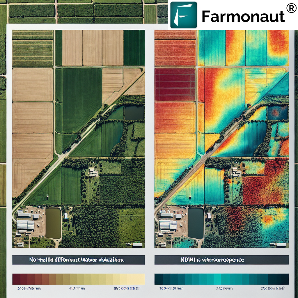
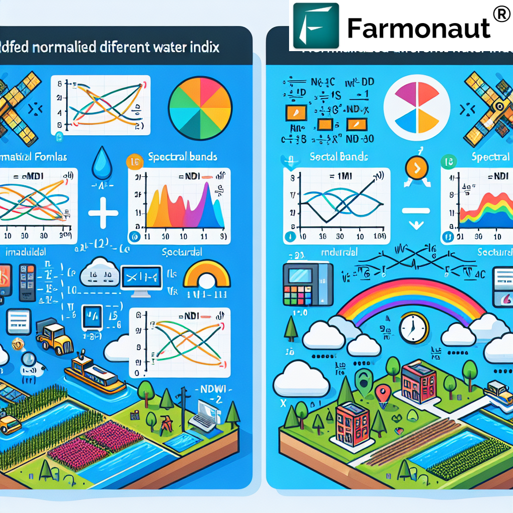
While high-resolution visual imagery is impressive, the true power of this earth intelligence platform lies in its advanced analytics capabilities. Hyperspectral imaging analysis, for example, offers deeper insights into material composition, benefiting sectors like mining and environmental monitoring.
“Hyperspectral imaging analysis in satellite technology can detect over 200 spectral bands, offering detailed insights into material composition for industries like mining.”
These advanced satellite analytics go beyond what the human eye can see, providing businesses with data on everything from soil moisture content to building counts and vessel detection. This wealth of information enables companies to make more informed decisions, optimize their operations, and stay ahead of the competition.
Real-Time Earth Observation: Speed is Key
In today’s fast-paced business world, speed is of the essence. The ability to access real-time earth observation data gives companies a significant edge. Whether it’s monitoring supply chains, assessing natural disasters, or tracking competitors’ activities, having up-to-the-minute information can make all the difference.
Austin’s platform prioritizes speed and accessibility, ensuring that businesses can get the data they need when they need it. As Luke Fischer, CEO of the company behind this technology, puts it, “Speed is money in the business world, and that’s what we wanted.”
Democratizing Access to Earth Intelligence
Perhaps the most revolutionary aspect of this technology is how it’s democratizing access to earth intelligence. By making satellite data accessible through a user-friendly interface and transparent pricing, the platform is putting powerful tools in the hands of businesses that previously couldn’t afford or access such technology.
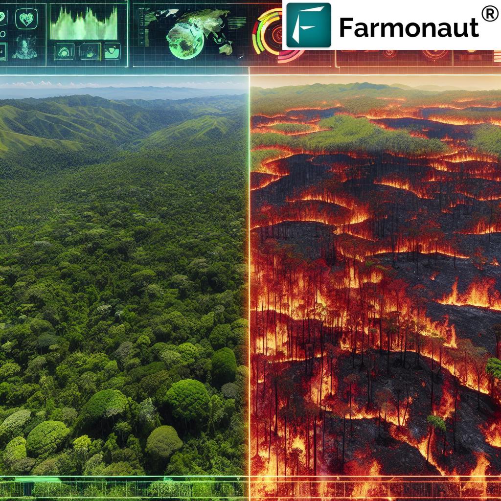
This democratization is leading to innovations across industries. For example, in agriculture, farmers can now use satellite data to optimize crop yields and reduce resource waste. In the realm of environmental monitoring, researchers and conservationists can track deforestation, ice melt, and other climate-related changes with unprecedented accuracy.
Applications Across Industries
The versatility of this earth intelligence platform is truly remarkable. Let’s explore some of the key applications across different industries:
| Industry | Application | Benefits | Example Use Case |
|---|---|---|---|
| Agriculture | Crop health monitoring | Optimized resource use, increased yields | Analyzing soil moisture content for precise irrigation |
| Energy | Asset monitoring | Improved operational efficiency, risk management | Tracking oil rig and frack crew activities |
| Mining | Mineral exploration | Cost-effective prospecting, environmental compliance | Using hyperspectral imaging to identify mineral deposits |
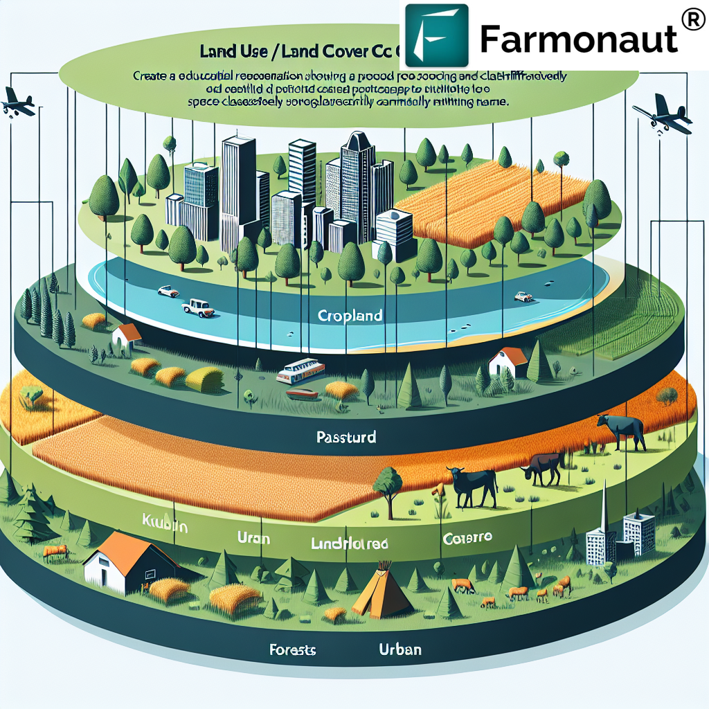
| Environmental Monitoring | Climate change tracking | Better understanding of global environmental trends | Monitoring deforestation rates in the Amazon |
| Maritime | Vessel detection | Enhanced maritime security, efficient logistics | Tracking illegal fishing activities in protected waters |
The Future of Earth Intelligence
As satellite technology continues to advance, we can expect even more exciting developments in the field of earth intelligence. Improved sensor technology, AI-powered analytics, and more frequent satellite revisit times will provide even more detailed and timely insights.
For businesses, this means staying ahead of the curve by embracing these technologies early. Those who leverage earth intelligence platforms will be better positioned to make data-driven decisions, optimize their operations, and identify new opportunities in an increasingly competitive global market.

Embracing the Earth Intelligence Revolution
As we’ve explored, Austin’s advanced satellite analytics platform is at the forefront of a revolution in earth intelligence. By making high-resolution satellite insights accessible to businesses of all sizes, this technology is transforming how companies gather and analyze data, make decisions, and plan for the future.
From hedge fund managers gaining a competitive edge in the energy sector to farmers optimizing their crop yields, the applications of this technology are vast and varied. As satellite data accessibility continues to improve, we can expect to see even more innovative uses of earth intelligence across industries.
The Role of Farmonaut in the Earth Intelligence Ecosystem
While we’ve focused on Austin’s platform, it’s worth noting that other companies are also making significant strides in the field of earth intelligence, particularly in the agricultural sector. One such company is Farmonaut, which is revolutionizing farming practices through its innovative use of satellite technology.
Farmonaut offers a comprehensive suite of tools that leverage satellite imagery and advanced analytics to provide valuable insights for farmers and agribusinesses. Their platform includes features such as:
- Real-time crop health monitoring
- AI-based advisory systems
- Blockchain-based traceability
- Resource management tools
By providing these advanced capabilities, Farmonaut is helping to make precision agriculture more accessible and affordable for farmers worldwide. Their platform demonstrates how satellite technology can be applied specifically to address the unique challenges faced by the agricultural industry.
Integrating Earth Intelligence into Your Business Strategy
As we’ve seen, the potential applications of earth intelligence are vast. Whether you’re in agriculture, energy, mining, or any other industry that relies on geospatial data, integrating these advanced satellite analytics into your business strategy can provide significant advantages.
Here are some key steps to consider when adopting earth intelligence technologies:
- Identify Your Needs: Determine what specific insights would be most valuable for your business. This could range from monitoring assets to tracking environmental changes.
- Choose the Right Platform: Look for a platform that offers the specific features and analytics you need, with a user-friendly interface and transparent pricing.
- Train Your Team: Ensure that your team understands how to interpret and act on the data provided by these platforms.
- Integrate with Existing Systems: Look for ways to integrate earth intelligence data with your existing business intelligence and decision-making processes.
- Stay Updated: Keep abreast of new developments in satellite technology and earth observation to ensure you’re always leveraging the most advanced tools available.
The Ethical Considerations of Earth Intelligence
As with any powerful technology, the use of advanced satellite analytics raises important ethical considerations. While the democratization of earth intelligence offers numerous benefits, it’s crucial to consider the potential implications for privacy, security, and global stability.
Businesses leveraging these technologies should be mindful of these considerations and ensure they’re using earth intelligence responsibly. This includes respecting privacy laws, being transparent about data collection and usage, and considering the broader societal impacts of their actions.
The Future is Now: Embracing Earth Intelligence
As we look to the future, it’s clear that earth intelligence will play an increasingly crucial role in how businesses operate and make decisions. The ability to access high-resolution satellite insights and apply advanced analytics to this data is no longer the stuff of science fiction—it’s a reality that’s transforming industries today.
From optimizing agricultural practices to enhancing energy sector investments, from improving environmental monitoring to revolutionizing supply chain management, the applications of earth intelligence are limited only by our imagination.
As businesses, it’s crucial that we embrace these technologies and explore how they can enhance our operations, improve our decision-making processes, and help us stay competitive in an increasingly data-driven world.
Conclusion: A New Era of Business Intelligence
Austin’s advanced satellite analytics platform, along with other innovative companies like Farmonaut, are ushering in a new era of business intelligence. By making earth observation technology and satellite imagery for business accessible to companies of all sizes, these platforms are democratizing access to powerful insights that were once the preserve of governments and large corporations.
As we move forward, the businesses that thrive will be those that effectively leverage these earth intelligence platforms to gain a competitive edge. Whether it’s through more efficient resource management, better risk assessment, or the identification of new opportunities, the potential applications of this technology are vast and transformative.
The future of business is here, and it’s being viewed from space. Are you ready to embrace the earth intelligence revolution?
FAQ Section
Q: What is an earth intelligence platform?
A: An earth intelligence platform is a technology that provides access to satellite imagery and advanced analytics, allowing businesses to gather valuable insights about various locations on Earth. It typically includes features like high-resolution imagery, real-time data, and specialized analytics for different industries.
Q: How can businesses benefit from using satellite analytics?
A: Businesses can benefit in numerous ways, including improved decision-making, optimized resource management, better risk assessment, and the ability to identify new opportunities. Specific benefits vary by industry but can include things like more accurate crop yield predictions in agriculture or better asset monitoring in the energy sector.
Q: Is satellite data accessible to small businesses?
A: Yes, platforms like the one developed in Austin are making satellite data more accessible to businesses of all sizes. These platforms often offer user-friendly interfaces and flexible pricing options, democratizing access to this powerful technology.
Q: What industries can benefit from earth intelligence platforms?
A: A wide range of industries can benefit, including agriculture, energy, mining, environmental monitoring, maritime, urban planning, and more. Any industry that relies on geospatial data or needs to monitor large areas can potentially benefit from earth intelligence platforms.
Q: How often is satellite data updated?
A: The frequency of updates can vary depending on the platform and the specific location being monitored. Some platforms offer daily updates for certain areas, while others might update less frequently. The trend is towards more frequent revisit times, providing increasingly up-to-date data.
Explore Farmonaut’s Solutions
While we’ve focused on Austin’s platform in this article, it’s worth exploring other innovative solutions in the earth intelligence space. Farmonaut offers specialized tools for the agricultural sector, leveraging satellite technology to improve farming practices. Here are some of their key offerings:
- Carbon Footprinting: This tool helps agribusinesses monitor and reduce their environmental impact by providing real-time data on emissions.
- Traceability: Farmonaut’s blockchain-based traceability solution ensures transparency in agricultural supply chains, building consumer trust.
- Crop Loan and Insurance: This feature provides satellite-based verification for crop loans and insurance, improving access to financing for farmers.
- Fleet Management: Farmonaut offers tools for efficient management of agricultural machinery and vehicles, optimizing operations and reducing costs.
- Large Scale Farm Management: This solution is designed for managing vast farming operations efficiently using satellite monitoring and AI-driven insights.
- Crop Plantation Forest Advisory: Farmonaut provides personalized advice for crop management based on satellite data and AI analysis.
These tools demonstrate how satellite technology can be applied to address specific challenges in the agricultural sector, complementing the broader earth intelligence platforms we’ve discussed.
Earn With Farmonaut
Earn 20% recurring commission with Farmonaut’s affiliate program by sharing your promo code and helping farmers save 10%. Onboard 10 Elite farmers monthly to earn a minimum of $148,000 annually—start now and grow your income!
Access Farmonaut’s Solutions
Ready to explore how Farmonaut’s earth intelligence solutions can benefit your agricultural operations? Check out their offerings:
For developers interested in integrating Farmonaut’s capabilities into their own applications, check out their API and API Developer Docs.
Farmonaut Subscriptions
As we conclude our exploration of earth intelligence and its transformative impact on businesses, it’s clear that we’re at the dawn of a new era in data-driven decision making. The ability to access high-resolution satellite insights and apply advanced analytics is revolutionizing industries across the board. Whether you’re in agriculture, energy, environmental monitoring, or any other sector that relies on geospatial data, embracing these technologies can provide a significant competitive advantage.
We encourage you to explore how earth intelligence platforms can benefit your specific business needs. Whether it’s through Austin’s advanced satellite analytics platform or specialized solutions like those offered by Farmonaut, the potential for innovation and optimization is vast. The future of business intelligence is here, and it’s being viewed from space. Are you ready to take your business to new heights with earth intelligence?


