Drone Agriculture Mapping: Boost Yields With 7 Secrets
“Over 80% of modern agricultural drones use multispectral sensors for precise crop health analysis.”


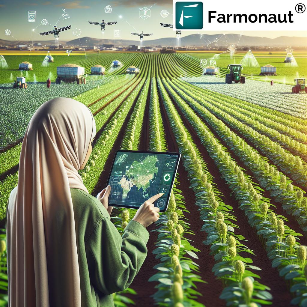
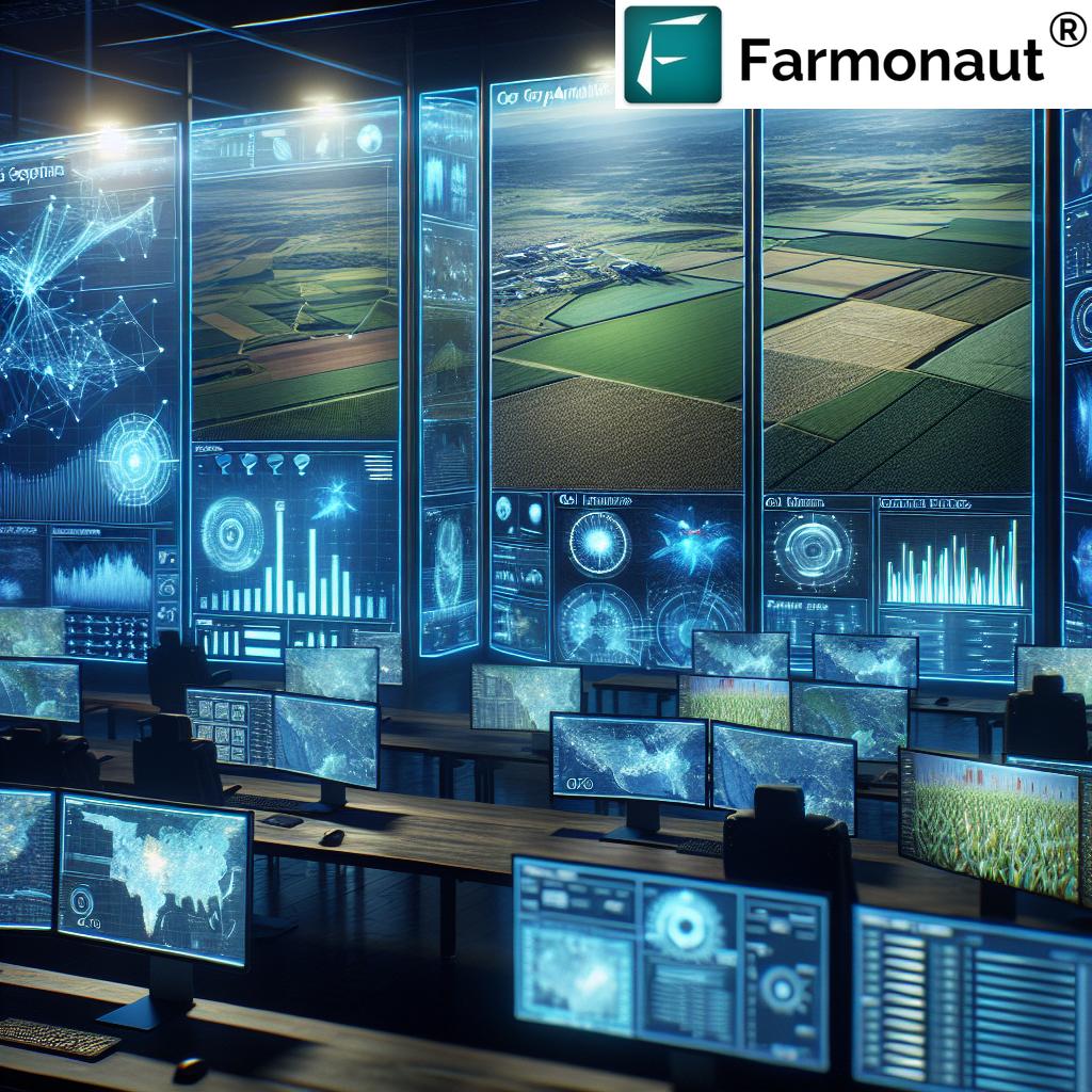
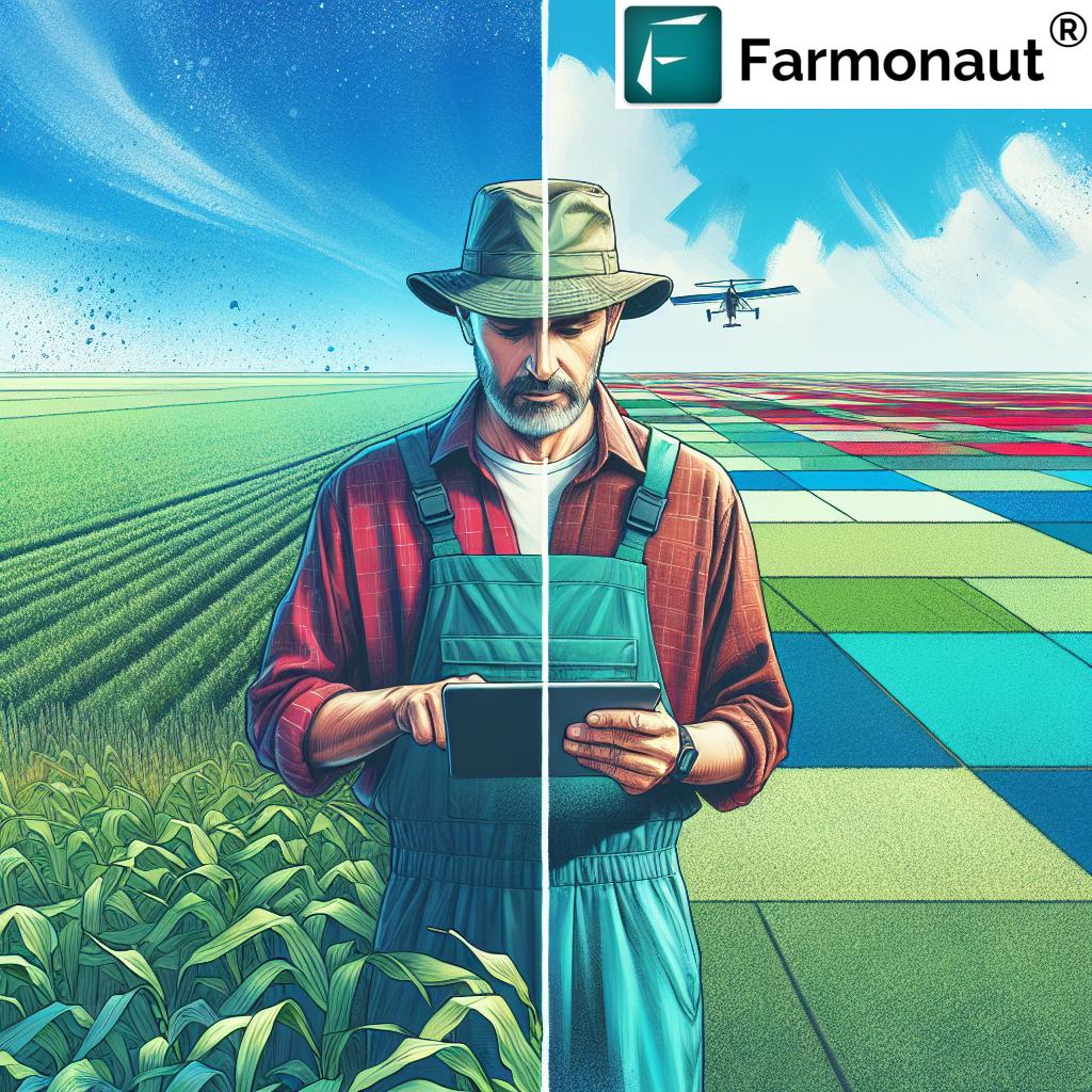
In today’s fast-paced world of modern agriculture, data-driven decision-making is not just a trend—it’s a transformation! Drone mapping in agriculture has emerged as an innovative game-changer, enabling us to monitor, analyze, and improve our fields like never before. By deploying unmanned aerial vehicles (UAVs) equipped with advanced mapping sensors, we now gain detailed, real-time insights into crop health, soil status, water distribution, pest infestations, and yield forecasting. These aerial mapping technologies are empowering farmers to make informed, sustainable, and cost-effective choices, driving up productivity, reducing waste, and minimizing environmental impact.
Understanding Drone Agriculture Mapping
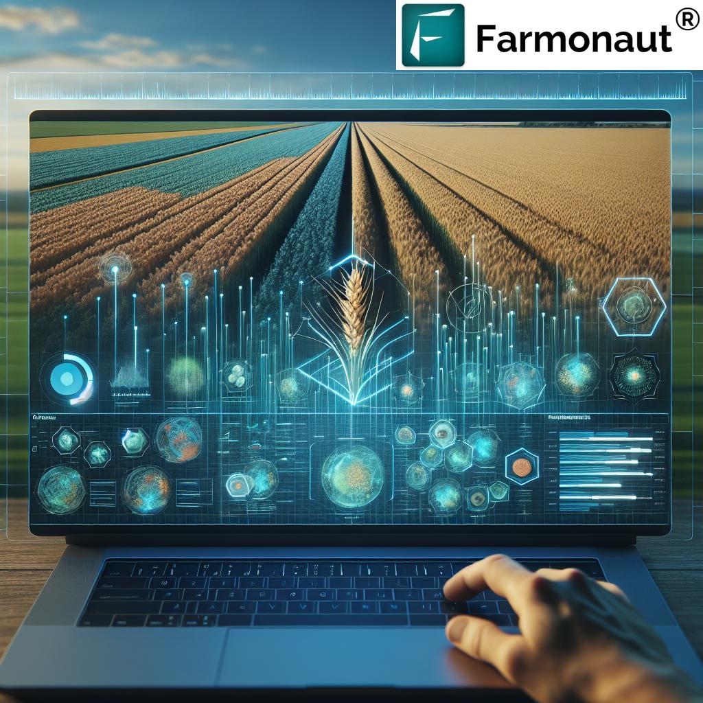
Drone agriculture mapping refers to the structured use of unmanned aerial vehicles (drones) to capture high-resolution imagery and sensor data across broad or targeted agricultural areas. By flying over our fields, agricultural drones collect detailed aerial images, thermal profiles, topography maps, and multispectral imaging. The collected data is then processed and analyzed—often using AI and machine learning—to generate actionable insights for improving our farm management strategies.
The goal of integrating drone mapping into agriculture is clear: provide farmers with information-rich, real-time resources for better decision-making and optimizing crop yields. Whether you are looking to detect early-stage crop diseases, optimize water use, or plan field operations with pinpoint accuracy, drone technology delivers the precision and speed modern farming demands.
- Data Collection: Drones systematically capture images and sensor measurements over designated areas.
- Data Processing: Collected imagery is stitched and analyzed to reveal crop health, soil moisture, topography, and pest zones.
- Intelligence & Decision-Making: Generated maps and reports inform actions on irrigation, fertilizer, pest control, and harvest planning.
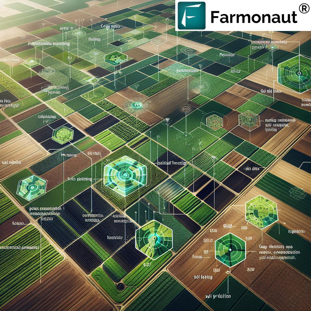
The Role of Drone Mapping in Agriculture
Agricultural drone technology has redefined the concept of precision farming. Drones can quickly scan and assess vast fields to provide granular data that would be impossible to obtain from ground level alone. With this information, we can better monitor crop health, identify nutrient deficiencies, evaluate water stress, and align our management strategies with site-specific recommendations.
Key Focus: Drone mapping in agriculture enables farm owners, managers, and agronomists to replace guesswork with evidence-driven practices, ultimately achieving more sustainable and profitable operations.
Key Technologies in Drone Mapping for Agriculture
21st-century drone mapping leverages several advanced sensors and analytical tools. Let’s break down the main technologies powering this revolution:
1. Multispectral Imaging in Agriculture
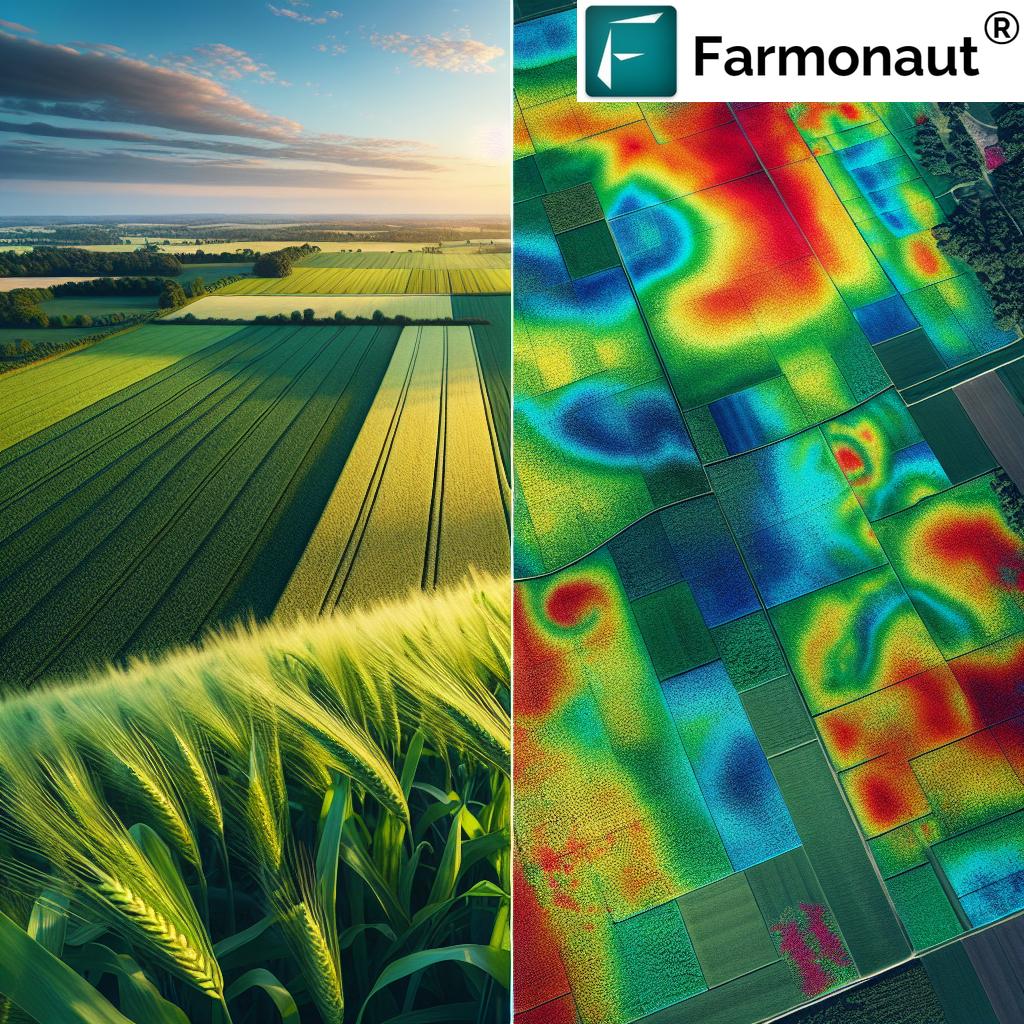
Multispectral sensors capture images across a range of wavelengths (including visible, red-edge, and near-infrared). Unlike standard cameras, multispectral imaging helps us assess vegetation health by detecting variations not visible to the human eye.
- Benefits: Early detection of stress, nutrient deficiencies, infestations, or diseases.
- Applications: Crop health monitoring drones use multispectral imagery to generate NDVI (Normalized Difference Vegetation Index) maps, highlighting crop vigor and weakness.
2. LiDAR Mapping for Farms
Light Detection and Ranging (LiDAR) sensors emit rapid laser pulses from drones to measure the distance between drone and ground surface. As these beams bounce back, the drone compiles a 3D map of field topography.
- Benefits: Detailed models of terrain variability and drainage, enabling efficient land leveling and irrigation planning.
- Applications: Useful for orchards, large plantations, and areas with complex terrain.
3. Thermal Imaging and Advanced Drone Sensors for Agriculture
Thermal cameras on drones detect temperature variations across crops and soil. Thermal imaging pinpoints water stress and areas of poor irrigation—critical for efficient resource allocation.
- Benefits: Identify water stress early, optimize irrigation management, and avoid yield loss.
- Applications: Targeted water management, detection of malfunctioning irrigation systems, and microclimate analysis.
4. Real-Time Data Processing with AI
Our ability to analyze large datasets depends on AI-powered software, which processes images, detects trends or anomalies, and delivers actionable insights.
- Benefits: Fast decision-making; reduces manual errors.
- Applications: Yield prediction using drones; automated pest detection; tailored recommendations.
5. Data Integration with Farm Management Platforms
Sensor data from drones can be imported into sophisticated agriculture management platforms—like Farmonaut—for further computation, reporting, and actionable advisory.
- Benefits: Seamless integration translates aerial mapping into tangible field decisions.
To explore real-world integration, view Farmonaut’s Satellite and Weather Data API and access their API Developer Docs.
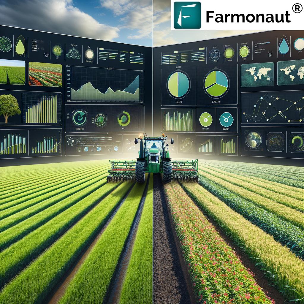
7 Secrets: How Drone Mapping in Agriculture Boosts Yields
Modern agriculture requires an edge, and drone mapping delivers undeniable benefits. Here are seven powerful ways in which drone mapping in agriculture can transform our productivity, reduce costs, and ensure long-term sustainability:
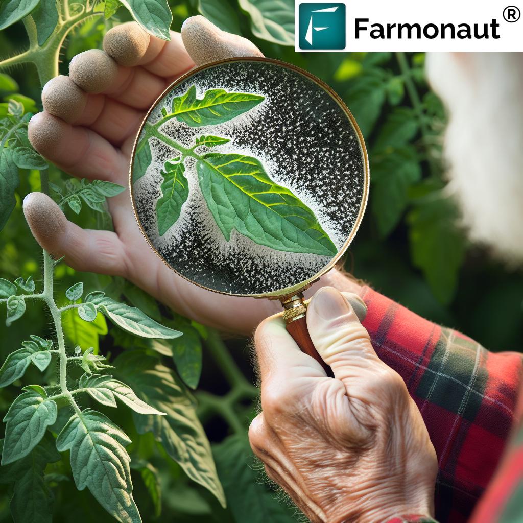
Secret 1: Crop Health Monitoring Drones
- What It Is: Drones routinely fly over fields to capture multispectral and RGB imagery for assessing crop health.
- Technology: Multispectral imaging combined with AI-based analytics.
- Benefits: Early identification of nutrient deficiencies, pest infestations, and diseases. Enables targeted intervention, minimizing pesticide use.
- Example: NDVI maps help us quickly detect stress zones (yellow or red patches) for site-specific actions.
Secret 2: Drone Data for Irrigation Management
- What It Is: Thermal mapping drones fly over fields and use temperature data to identify water-stressed areas.
- Technology: Thermal cameras and soil moisture sensors integrated with precision farming with drones.
- Benefits: Efficient water use, conservation, and enhanced crop yield. Reduces waste and operational costs.
Secret 3: Field Mapping & Planning
- What It Is: High-resolution orthomosaic maps for detailed field boundaries, soil variability, and topography.
- Technology: LiDAR mapping for farms, RGB photography, and mapping algorithms.
- Benefits: Accurate field planning, optimized land leveling, and implementation of precision agriculture.
- Relevant for: Variable-rate input application, custom area mapping for plantation, or farm expansion.
Secret 4: Yield Prediction Using Drones
- What It Is: Analyzing multi-temporal drone data throughout the season enables accurate yield forecasting.
- Technology: Data analytics, machine learning, and time-sequenced sensors.
- Benefits: Informed harvest planning, market timing, resource allocation, and maximizing profits.
Secret 5: Integrated Pest and Disease Management
- What It Is: Drones identify localized pest infestations and disease outbreaks via aerial data.
- Technology: Multispectral and thermal imaging, pattern recognition, and analytics.
- Benefits: Targeted pesticide use, reducing chemical input and minimizing environmental impact.
Secret 6: Soil Analysis and Land Suitability Mapping
- What It Is: Drones equipped with multispectral, thermal, or LiDAR sensors analyze soil moisture, variability, and structure throughout the field.
- Technology: Advanced drone sensors for agriculture, soil analysis algorithms.
- Benefits: Guides variable-rate fertilization, irrigation, and sustainable farming practices with drones.
Secret 7: Environmental & Carbon Footprint Tracking
- What It Is: Drones can estimate biomass, assess water usage, and collect environmental data which feeds into broader sustainability metrics.
- Technology: Combination of aerial imagery, thermal data, and AI-powered analysis.
- Benefits: Supports carbon footprinting and sustainability initiatives. Essential for compliance, reporting, and resource stewardship.
“Drone mapping can cover up to 1,000 acres per day, revolutionizing large-scale farm data collection.”
Comparative Table: 7 Secrets of Drone Agriculture Mapping
| Secret/Technique | Description | Key Technology Used | Estimated Yield Improvement (%) | Estimated Cost Savings (%) | Suitable Crop Types |
|---|---|---|---|---|---|
| Crop Health Monitoring | Continuous monitoring for stress, deficiencies, diseases, & pests. | Multispectral Imaging, AI analytics | 5–16 | 10–25 | All row crops, orchards |
| Irrigation Management | Identify water stress & optimize irrigation. | Thermal Imaging, Soil Sensors | 3–9 | 10–30 | Rice, Wheat, Corn, Sugarcane |
| Field Mapping & Planning | Accurate land area, boundaries, topography. | LiDAR, Orthomosaic Mapping | 2–7 | 5–20 | Large farms, plantations |
| Yield Prediction | Predict production volumes, optimize harvest timing. | AI Data Analytics, Multispectral series | 5–12 | 11–20 | All field crops |
| Pest & Disease Detection | Pinpoint outbreaks, target pesticide application. | Multispectral, Thermal, AI | 4–10 | 9–15 | Vegetables, Fruits, Cereals |
| Soil Analysis & Suitability Mapping | Analyze soil variability for precision input/seed selection. | LiDAR, Multispectral, AI | 3–8 | 7–17 | All soils & climates |
| Environmental & Carbon Tracking | Monitor sustainability, trace resources & emissions. | Aerial Imagery, Thermal, AI Reporting | 2–6 | 6–12 | Export crops, Organic, Corporate farms |
Explore more precision agriculture solutions:
- Carbon Footprinting: Track and reduce your farm’s environmental impact in real time, strengthening sustainability credentials and compliance.
- Product Traceability: Use blockchain-backed tools to give transparency and trust to your supply chain – trace every product’s journey from field to consumer.
- Crop Loan & Insurance: Satellite-based verification improves access to agricultural financing and makes claims faster and more reliable for all farmers.
- Fleet Management: Optimize your agricultural vehicle usage for greater efficiency and lower operational costs.
- Large-Scale Farm Management: Powerful tools for plantations and cooperatives to manage vast land, monitor operations, and achieve higher productivity with cost savings.
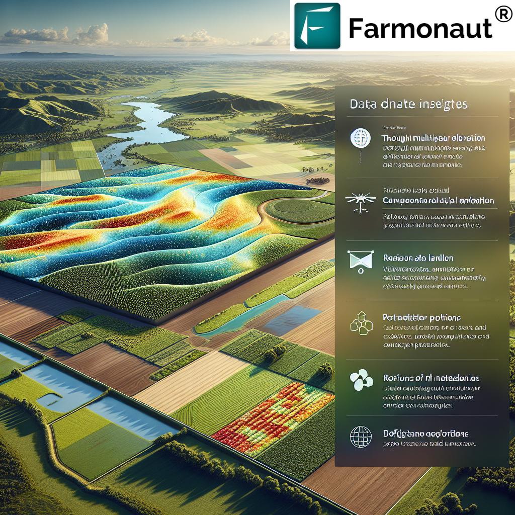
Economic and Environmental Benefits of Drone Mapping in Agriculture
Embracing drone agriculture mapping delivers value far beyond just operational efficiency. Through strategic data use and technology-driven management, we boost yield, minimize costs, and promote environmental stewardship.
- Increased Productivity: Precise data lets us allocate resources accurately, improve timing for planting and harvest, and achieve higher, more stable yields.
- Resource Efficiency: By targeting water, fertilizers, and pesticides to only where needed, we not only save on expensive inputs but also protect soil health and reduce run-off.
- Sustainability: Sustainable farming practices with drones means optimizing every step—from water use to crop protection—to minimize environmental impact while maximizing output.
- Speed and Scalability: Drone mapping allows single operators to monitor hundreds of hectares daily, making it suitable for both smallholders and large, industrial farms.
- Cost Reduction: Direct savings come from better input management and risk-detection, reducing avoidable losses and costly blanket treatments.
Challenges & Considerations in Drone Mapping Adoption
While the advantages of mapping with drones are substantial, it’s important to recognize and carefully address the existing challenges:
- Technology Accessibility: Initial hardware costs and software investment may be substantial, especially for smallholder farmers. However, technology advances and platforms like Farmonaut are making remote-sensing more affordable and scalable.
- Training and Data Interpretation: Meaningful use of collected data requires technical skill. Farmers and agronomists may need guidance/training to analyze and take action based on mapping outputs.
- Regulatory Compliance: Drone operations must respect airspace and local aviation regulations. Ensuring compliance may add complexity.
- Privacy Concerns: Aerial mapping may raise privacy discussions in rural communities. Transparency, ethical standards, and respectful data use build community trust.
For many, starting with satellite-based crop monitoring through services like Farmonaut is a cost-effective gateway to precision agriculture while sidestepping barriers of owning and operating UAV hardware.
Future of Drone Mapping in Modern Farming
The pace of change in UAV agriculture technology is nothing short of remarkable. In the near future, we can anticipate:
- AI & Machine Learning Integration: Advanced algorithms will make drone data analysis even more automated and predictive, from yield forecasting to disease prediction.
- Cost Reduction & Wider Adoption: As manufacturing and sensor costs drop, drones will become accessible for small plots as well as mega-farms, fueling greater industry-wide adoption.
- Edge Computing & Real-Time Response: Onboard data analysis will allow instant recommendations—from adjusting irrigation to triggering targeted crop protection measures.
- Enhanced Sustainability Metrics: Integration with platforms like Farmonaut’s carbon footprinting and traceability systems for comprehensive documentation, reporting, and consumer engagement.
The future of farming is digitally connected, globally informed, and environmentally responsive—powered by drone mapping in agriculture.
Why Choose Farmonaut for Precision Agriculture?
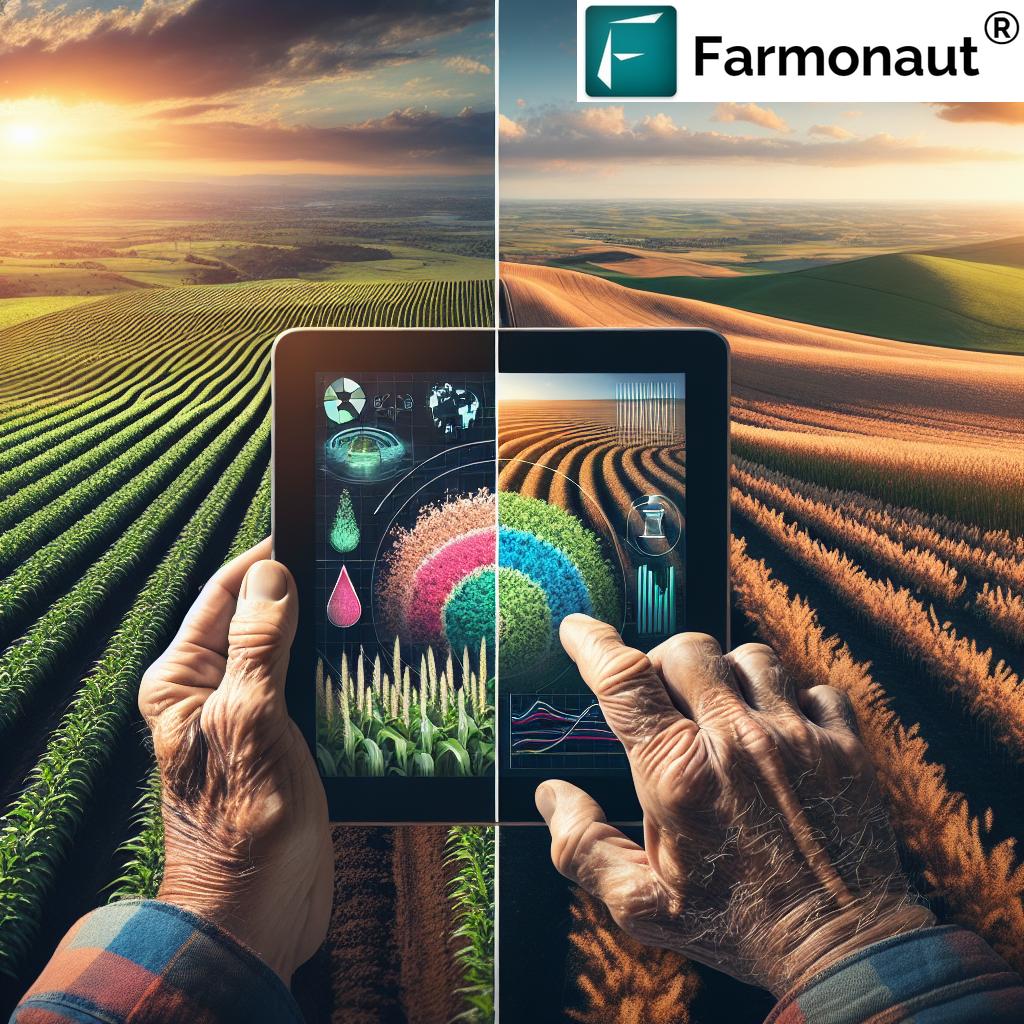
As we look to enhance our yields and practice sustainable farming, having a reliable technology partner is essential. Farmonaut stands out with a suite of satellite-based, AI-driven solutions—accessible via web, Android, and iOS, as well as developer APIs. Unlike traditional drone mapping services, Farmonaut eliminates the need for expensive hardware by leveraging satellite imagery for comprehensive, affordable, and scalable crop monitoring.
- Real-Time Crop Monitoring: Get instant satellite updates on crop health, soil moisture, vegetation indices, and meteorological conditions across all your fields.
- AI-Advisory System (Jeevn): Receive custom crop management insights, improving productivity and resource efficiency.
- Blockchain-Enabled Traceability: Ensure product transparency and consumer trust; see details at Product Traceability.
- Integrated Resource & Fleet Management: Manage operations, vehicle efficiency, and input logistics with ease.
- Environmental Tracking: Quantify and track your carbon footprint for sustainability certification.
- Access to Financing: Simplify crop loan and insurance approvals via accurate, remote-sensed data (more here).
Get Started with Farmonaut Now!
Drone Agriculture Mapping: Frequently Asked Questions
How does drone mapping in agriculture differ from traditional crop scouting?
Traditional crop scouting is time-consuming and limited to visual observations from the ground. Drone mapping in agriculture provides high-resolution aerial imagery and data across entire fields in a fraction of the time. This leads to precise, comprehensive, and real-time understanding of crop health, soil status, and environmental conditions, which is simply not possible with manual scouting alone.
Can small farms benefit from drone or satellite-based mapping technologies?
Absolutely. While drone mapping services were once limited to large farm operations, the technology has become increasingly affordable. Satellite solutions through platforms like Farmonaut deliver precision agriculture benefits to farms of every size, offering subscription packages based on area and data update frequency.
Are there risks or privacy concerns with collecting aerial data?
When used ethically and transparently, aerial data collection is highly secure and beneficial. However, it’s important to comply with local regulations and inform neighboring properties if drones will capture their land. With satellite solutions, privacy risk is minimized as data granularity is often less intrusive than close-range drones.
What are the key advantages of integrating drone mapping with web/mobile apps?
Integrating drone or satellite data with management apps like Farmonaut enables instant access to processed insights, field comparison, progress tracking, and historical analysis — all from your phone or desktop. This makes managing multiple fields easier, improves response times, and ensures you don’t miss critical intervention windows.
Can drone and satellite data be used for crop insurance or loan applications?
Yes. Platforms like Farmonaut offer satellite-based verification, providing transparent and secure data for crop loans and insurance approval. This accelerates claims, reduces fraud, and improves access to agricultural financing for farmers worldwide.
Conclusion
Drone agriculture mapping stands at the heart of the technological transformation sweeping across agriculture. By embracing mapping data from UAVs, drones, and satellites, we empower ourselves to make informed, efficient, and sustainable decisions. From early pest detection to yield prediction, every new insight derived from drone and satellite mapping enhances our farm’s health and profitability.
With platforms like Farmonaut, precision agriculture is no longer a privilege of a few—it’s an accessible, scalable, and affordable reality for every farmer, agribusiness, and government agency worldwide. Let’s embrace the power of drone agriculture mapping—unlock higher yields, save resources, and ensure a greener, more prosperous agricultural future for us all!