Table of Contents
- Overview of Alberta Remote Sensing in Forestry
- Did You Know? Alberta Remote Sensing Trivia
- Key Benefits of Remote Sensing in Alberta Forestry
- Comparative Benefits: General vs. Active Remote Sensing
- Advantages of Active Remote Sensing in Alberta Forestry
- Farmonaut: Integrating Modern Sensing for Alberta’s Needs
- 2025 & Beyond: Integration, Innovation, and Sustainable Impact
- Frequently Asked Questions
- Get Started with Farmonaut & Subscriptions
Alberta Remote Sensing: Top Benefits & Active Advantages
Harnessing Alberta Remote Sensing: Advancing Forestry Management through Active Remote Sensing Technologies in 2025
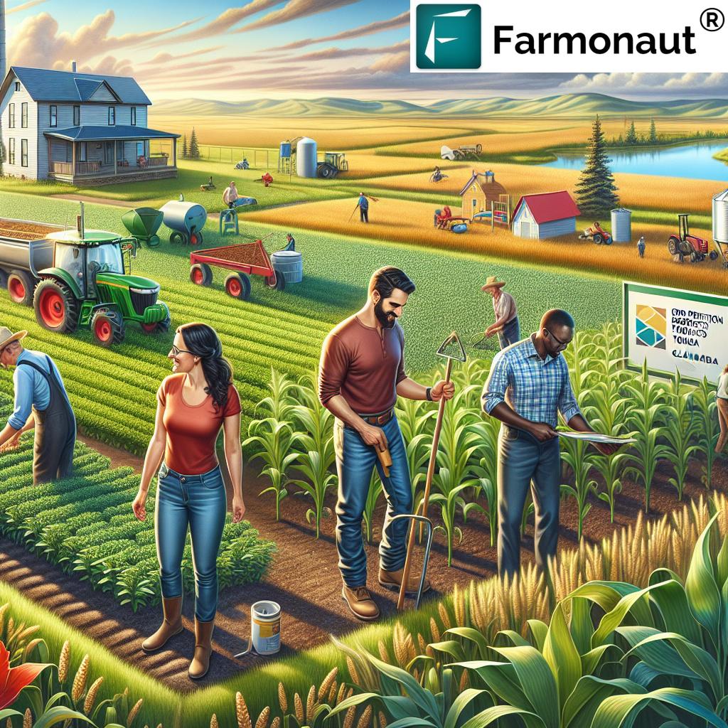
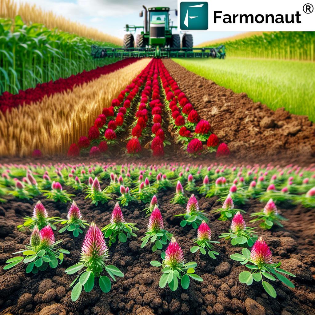
In the vast landscapes of Alberta, forestry has always played a vital role in the province’s economy and ecological integrity. As demand intensifies for sustainable resource management, advanced technologies like remote sensing—especially active methods such as LiDAR and SAR—have emerged as indispensable tools. These technologies empower resource managers to monitor, assess, and conserve Alberta’s extensive forests with unprecedented precision and timeliness.
Today, in 2025, we witness alberta remote sensing technologies reshaping how we perceive, manage, and sustain forested areas. This comprehensive guide explores the benefits of remote sensing and the advantages of active remote sensing for forestry management, monitoring, and sustainable resource use in the province—with a spotlight on the critical role of technological advancements like LiDAR, SAR, and integrated data platforms such as Farmonaut.
Overview of Alberta Remote Sensing in Forestry
Remote sensing encompasses the acquisition of information about objects or areas from a distance, typically via satellite or airborne sensors. In Alberta—home to extensive boreal forests, mixedwood stands, and foothill ecosystems—such sensing has become critical for both resource managers and policy-makers striving for sustainable forest stewardship.
Traditional ground surveys are often limited in spatial scope, costly in both time and resources, and unable to deliver continuous observation across vast, rugged terrains. Remote sensing overcomes these limitations, providing comprehensive and timely data for:
- Forest inventory and spatial mapping
- Health assessment and vegetation monitoring
- Pest and disease detection
- Wildfire risk analysis and damage assessment
- Biomass estimation and carbon stock accounting
Thanks to advancements in sensor technology and AI-driven processing, alberta remote sensing applications now deliver not just static snapshots, but real-time analytics and actionable insights that are pivotal for adaptive management in rapidly changing climatic conditions.
Key Benefits of Remote Sensing in Alberta Forestry
Let’s delve into the primary benefits of remote sensing in Alberta’s forestry sector. These are not only rooted in the technology itself, but also in the unique geography, ecology, and economic needs of Alberta.
-
Comprehensive Monitoring of Vast Forested Areas
Alberta’s forested landscapes extend over hundreds of thousands of square kilometers, making extensive ground surveys logistically difficult and costly. Remote sensing offers the ability to capture synoptic views, enabling spatial variability assessment across large areas. This supports continuous observation and timely detection of changes, such as:
- Natural disturbances (fire, windthrow, drought)
- Pest outbreaks or anthropogenic activities
- Monitoring habitat fragmentation and regeneration
-
Enhanced Forest Health and Early Detection
Early detection of tree stress, disease, or insect infestations is critical for rapid and effective response. Advanced sensors utilizing multispectral and hyperspectral imagery can detect:
- Subtle changes in vegetation health and chlorophyll content
- Indicators of potential outbreaks (e.g., mountain pine beetle)
- Areas at risk of ecological imbalance
-
Improved Cost and Time Efficiency
Remote sensing—with its automated acquisition—significantly reduces operational costs and accelerates data cycles compared to labor-intensive ground surveys. This efficiency enables:
- Year-round monitoring (even in harsh weather conditions)
- Rapid response to emerging environmental threats
- Allocation of resources to critical areas only
-
Accurate Carbon and Biomass Estimation
In the era of climate action, measuring forest biomass and carbon stock is essential for carbon credit programs and climate policy frameworks. Remote sensing enhances accuracy and transparency, supporting Alberta’s commitments to national and international sustainability standards.
-
Actionable Data for Sustainable Decision-Making
The benefits of remote sensing lie in delivering objective, comprehensive, and timely data, empowering decision-makers to develop long-term sustainable management plans and mitigate the influence of climate change.
Comparative Benefits Table: General Remote Sensing vs. Active Remote Sensing in Alberta Forestry
To illustrate the advantages of active remote sensing compared to standard remote approaches, here is a comparative table tailored to Alberta’s forestry sector.
Advantages of Active Remote Sensing for Alberta Forestry
Active remote sensing—using technologies like LiDAR (Light Detection and Ranging) and SAR (Synthetic Aperture Radar)—goes further by emitting signals and measuring reflected returns. This gives Alberta’s forestry sector unique advantages:
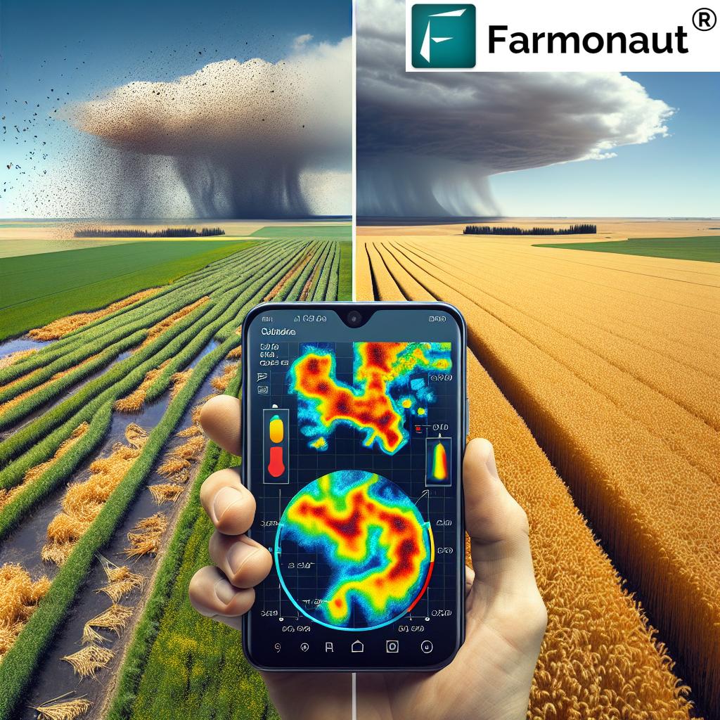
- Penetration through Canopy and Clouds: Active technologies like LiDAR and SAR can “see through” even dense canopy and persistent cloud cover. This overcomes critical limitations of passive sensors, which depend on sunlight and cloud-free conditions. For Alberta’s variable weather conditions—often snowy, rainy, or foggy—this means uninterrupted data acquisition and no seasonal data “blind spots.”
- Three-Dimensional Forest Structure Mapping: LiDAR’s high-resolution 3D capability enables measurement of tree height, canopy density, and even understory vegetation for precise biomass estimation and habitat studies. In boreal and mixedwood stands, this 3D data is crucial for understanding resource stock and successional stages.
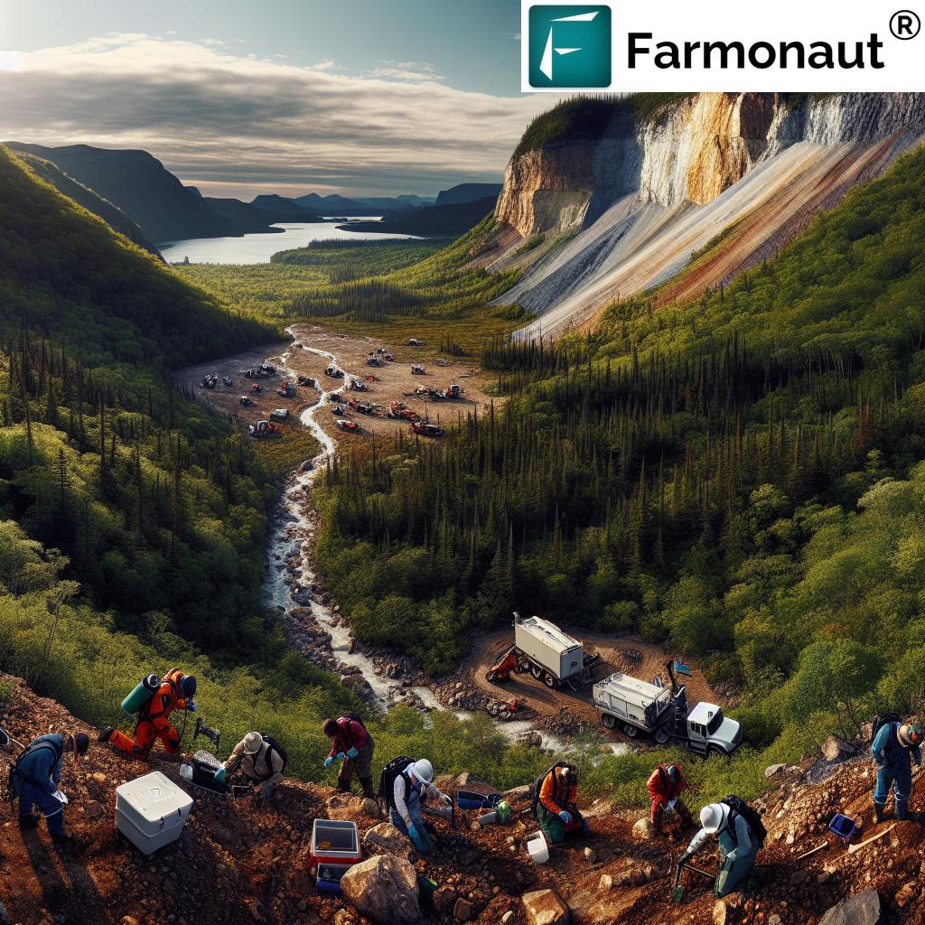
- Rugged Terrain and Biomass Estimation: Many forested areas in Alberta are mountainous or hilly, making ground-based or optical imagery limited. SAR’s radar signals not only “see through” clouds, but also map elevation and biomass, delivering critical structural insights on terrain.
- Wildfire Risk Assessment and Post-Fire Evaluation: LiDAR and SAR are key to mapping fuel loads, spotting high-risk vegetation configurations, and supporting real-time fire monitoring. After a wildfire, active remote sensing quickly assesses damage severity, supports insurance claims, and guides targeted replanting.
- All-Weather, All-Hours Imaging: Since active sensors emit their own signals, nighttime or overcast skies do not impede data acquisition. For a province like Alberta—where weather can shift rapidly—this is essential for delivering timely, comprehensive monitoring.
- Superior Precision and Accuracy: The ability of active remote sensing technologies to deliver cm-level precision in measurements supports advanced modelling, policy, and response strategies.
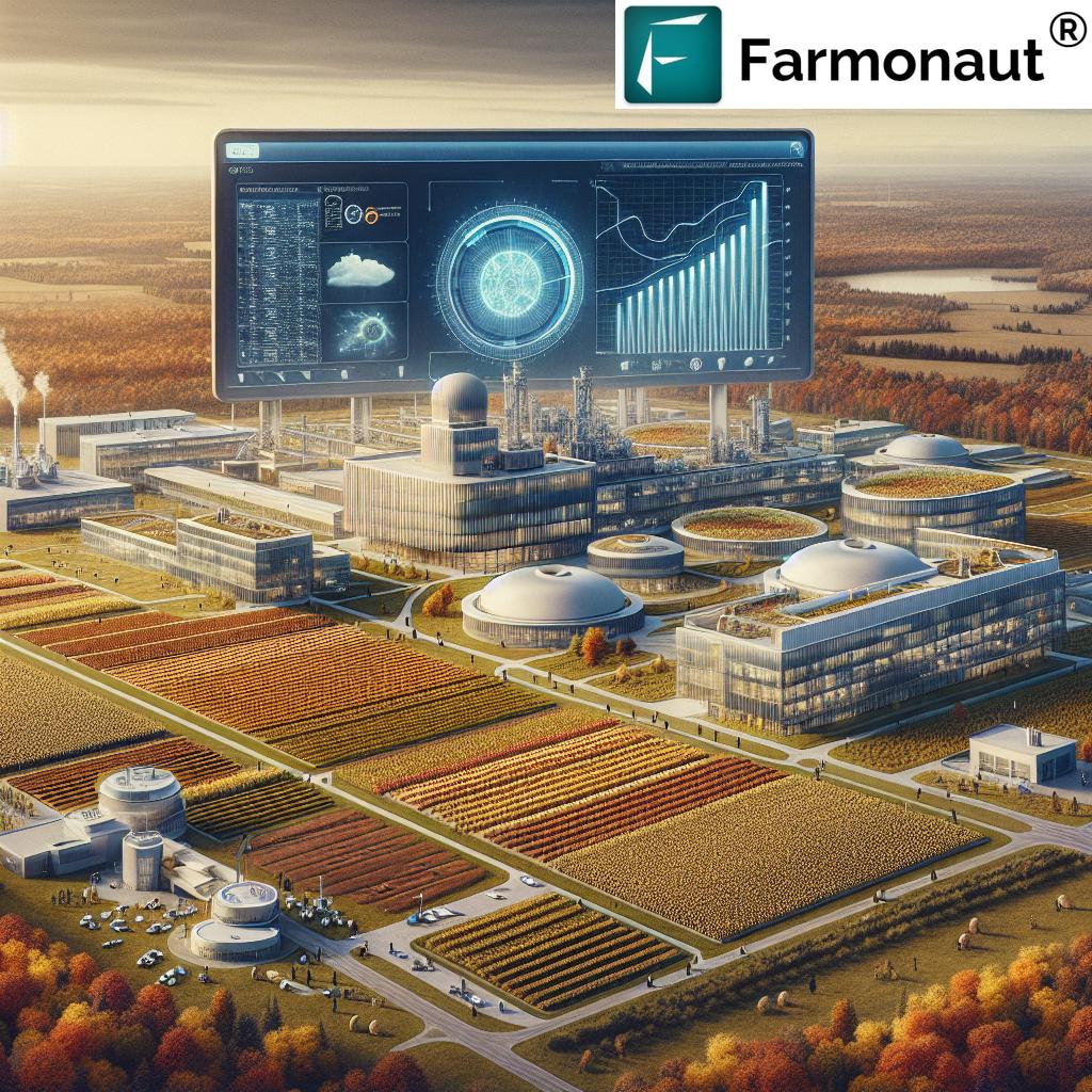
Farmonaut: Integrating Modern Sensing for Alberta’s Needs
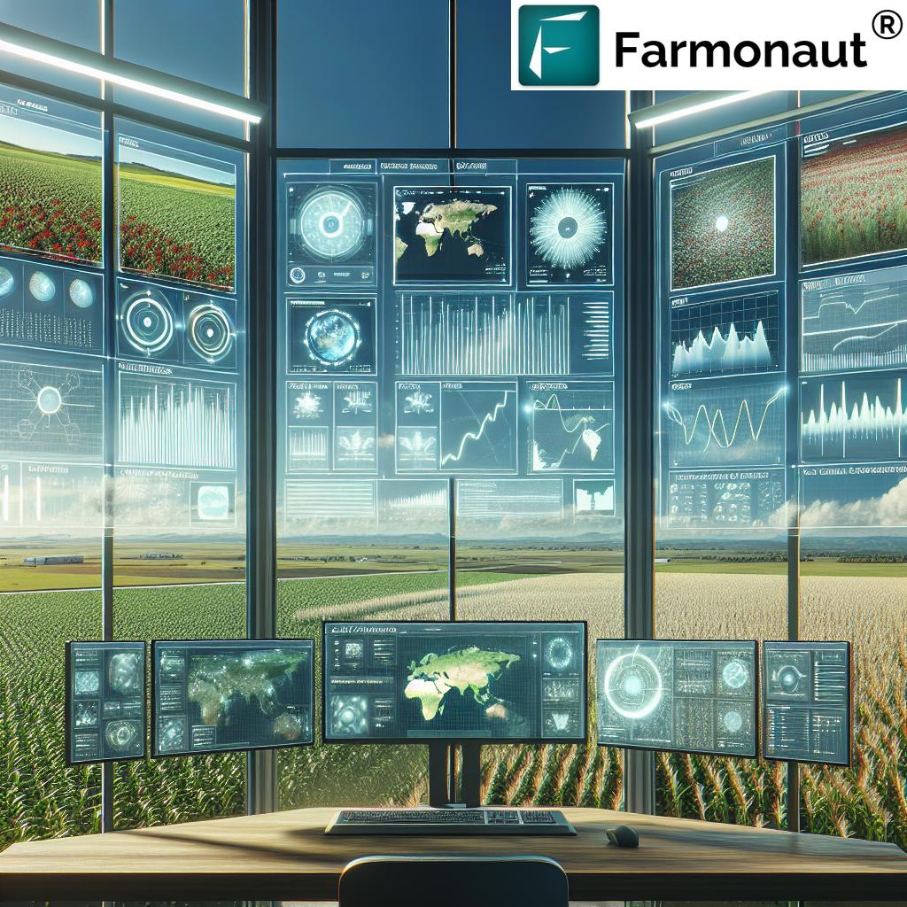
As satellite and active remote sensing technologies evolve in 2025, leveraging real-time monitoring and AI-powered insights has become mission-critical. This is where Farmonaut stands out as a transformative platform for Alberta’s forestry sector:
- Satellite-Based Monitoring: We leverage multispectral satellite imagery to deliver vegetation health (NDVI), soil condition, and structure integrity insights. This provides actionable data to manage forests, detect damage, and optimize resource management.
- AI Advisory System (Jeevn): Our AI-driven Jeevn tool provides real-time insights, weather forecasts, and tailored management strategies for forestry monitoring, wildfire risk, or resource allocation.
- Blockchain-Based Traceability: For complete supply chain transparency in forestry, we provide traceability solutions using blockchain. This ensures secure tracking from forest stand to final processing—essential for carbon reporting and anti-fraud measures in Alberta’s timber sector.
- Fleet & Resource Management: Logistics are streamlined using our fleet management tools, reducing operational costs and optimizing equipment allocation in remote and rugged forestry regions.
- Environmental Monitoring & Carbon Footprinting: Our carbon footprinting technology helps forestry organizations track and reduce environmental impact by automatically monitoring emissions, helping with regulatory compliance and sustainability initiatives.
- Large Scale Forest Management: For companies managing multiple tracts, Farmonaut offers large scale forest management through advanced mapping, real-time field analytics, and reporting—accessible from both web and mobile platforms.
- Insurance & Financing: Our crop loan and insurance verification tools leverage satellite and active remote data for automatic claims validation, increasing access to finance and reducing fraud.
Access our platform anytime via web, Android, or iOS for modern, integrated forestry management in Alberta.


2025 & Beyond: Integration, Innovation, and Sustainable Impact
Integration of alberta remote sensing with cutting-edge technologies is revolutionizing forestry management into 2025 and beyond. What are the next big shifts?
- AI and Machine Learning: The fusion of real-time satellite data and ground-based observations—processed with modern AI—produces predictive models for forest growth, health monitoring, pest risk, and wildfire spread.
- Drone and Small Satellite Constellations: Drone-mounted LiDAR and small satellite fleets deliver higher spatial resolution and frequent updates at lower costs. This means forests in Alberta can be mapped, surveyed, and analysed more dynamically than ever before.
- Decision-Support Dashboards: Integrated platforms consolidate all sensing data, automate trend analysis, and generate ready-to-use reports for both field teams and policy leaders.
- Transparent Carbon and Sustainability Reporting: With advanced sensing (including Farmonaut’s carbon footprinting), forestry operations can quantify the real ecological value and footprint of working forests and conservation lands.
- API Integration: Robust APIs from providers like Farmonaut (API Portal | Developer Docs) make it easy to inject remote, active, and AI insights into organizational analytics tools or custom mobile apps.
A Sustainable, Data-Driven Future for Alberta’s Diverse Forests
As sustainability and data-driven management become essential, Alberta is poised to lead Canada in advanced, resilient forestry management. The synergy of remote sensing (especially active methods like LiDAR, SAR), with AI analytics, blockchain, and timely mobile access, is now the backbone of responsible forest stewardship.
When considering your next forestry project, policy planning, or business decision, choosing technology stacks and integrated platforms like Farmonaut is more than a leap—it’s a strategic advantage. Our solutions empower governments, businesses, and users to harness the full benefits of remote sensing for improved forest health, optimized operations, and tangible, environmental gains.
Frequently Asked Questions: Alberta Remote Sensing
What is remote sensing and why is it important for Alberta’s forests?
Remote sensing refers to gathering information about objects or areas (like forests) from a distance—commonly through satellite or airborne sensors. For Alberta, with its vast forested areas, remote sensing enables comprehensive, efficient, and cost-effective monitoring, supporting sustainable forestry management, fire risk assessment, and ecological conservation.
How do active remote sensing technologies like LiDAR and SAR benefit forestry?
Active remote sensing systems, such as LiDAR and SAR, emit their own signals and thus can “see through” clouds and canopy cover, providing high-precision, 3D data on forest structure, terrain, and health regardless of weather or lighting. This makes them invaluable for mapping, monitoring wildfires, estimating biomass, and post-disaster assessment.
Can remote sensing support climate action in Alberta’s forestry sector?
Absolutely. Alberta remote sensing technologies are key for precise carbon and biomass estimation, supporting carbon offset programs and sustainable resource policies. By tracking forest health, growth, and degradation in near real-time, resource managers can take targeted action to mitigate climate impacts and optimize ecological functions.
How do I get started with Farmonaut for Alberta forestry monitoring?
Getting started is easy—simply access the web or mobile app. For developers, Farmonaut’s powerful API integration streamlines the incorporation of remote and active sensing data into your own dashboards. Detailed platform usage guides and onboarding support are available for all users.
How is data security and traceability ensured in Alberta’s forestry value chain?
Using blockchain-based traceability, platforms like Farmonaut ensure end-to-end tracking of timber and forest resources. This delivers transparency, helps prevent fraud, and increases trust across supply chains—from forest to sawmill to consumer. Explore our traceability solutions for more details.
Get Started with Farmonaut: Advanced Remote Sensing Subscriptions
Unlock scalable, cost-effective remote sensing for Alberta’s forestry, agriculture, and resource sectors. Explore our flexible subscription model:
Conclusion: Harnessing the Future of Alberta’s Forestry with Remote Sensing
The benefits of remote sensing—and especially the advantages of active remote sensing—are clear for the varied, dynamic, and vital landscapes of Alberta. From the early detection of forest threats to precise carbon estimation, cost-efficient monitoring, and real-time decision support, these technologies empower us to reshape, reimagine, and sustain Alberta’s forestry resources responsibly.
With technological innovations from comprehensive data acquisition (LiDAR, SAR, multispectral satellite) to robust AI- and blockchain-driven platforms, stakeholders at every level in Alberta can now meet the challenge of sustainable forest management head-on. The strategic adoption of modern remote sensing ensures Alberta’s forestry sector continues to play its vital economic and ecological role into 2025 and beyond.
- Leverage Farmonaut‘s web and mobile applications for easy, real-time satellite monitoring and forest analysis across Alberta.
- Explore specialized modules for carbon footprint monitoring, blockchain traceability, fleet/resource optimization, and insurance verification.
- Develop custom forestry analytics using Farmonaut’s API or refer to our Developer Docs for seamless integration.
Alberta remote sensing is not a distant ideal—it’s here, practical, and transformative today. Let’s continue advancing our forests, harnessing data, and driving impact for years to come.