Agri Valley Irrigation: Drone for Water & Dig Manual
Table of Contents
- Introduction
- Quick Trivia: Agri Valley Irrigation’s Impact
- Understanding Irrigation Challenges in Agri Valleys
- Manual Dig Irrigation: Traditional Methods Explained
- The Rise of Drone Technology in Water Irrigation
- Synergizing Drone Technology with Manual Dig Irrigation
- Comparison Table: Manual vs Drone-Assisted Irrigation
- Environmental & Economic Impact of Advanced Irrigation Solutions
- Farmonaut: Innovating Irrigation for the Future
- 2025 & Beyond: Future Trends in Agri Valley Irrigation
- Frequently Asked Questions (FAQ)


Advancing Agricultural Irrigation in 2025: The Role of Drone Technology and Manual Dig Irrigation in Agri Valleys
Efficient water management remains the cornerstone of sustainable agriculture—particularly in agri valleys, where extensive cultivation depends on reliable irrigation systems. As global water scarcity intensifies and climate variability increases, new innovations in irrigation are emerging as crucial levers for enhancing water-use efficiency and crop productivity. By 2025, the synergy of advanced drone technology with traditional manual dig irrigation techniques is revolutionizing practices in these productive zones. This integration enables farmers to optimize water distribution and conserve this precious resource for a more sustainable, resilient future.
“Agri Valley Irrigation manual digs can reduce water waste by up to 30% compared to traditional irrigation methods.”
Understanding Irrigation Challenges in Agri Valleys
Agri valley irrigation techniques are central to the prosperity of regions with fertile soils and favorable microclimates. These valleys are often recognized for their productive capacity and extensive cultivation. However, such zones face a distinct set of challenges, including:
- Fluctuating water availability: Surface water sources like rivers, canals, and groundwater wells are susceptible to seasonal and climate-driven variability.
- Uneven terrain: Topographical variations in these regions often result in inefficient water flow, leading to significant water wastage.
- Limited infrastructure: Many rural valleys lack advanced irrigation systems, pumping mechanisms, and dependable water distribution networks.
- Labor-intensive methods: Manual dig irrigation – creating channels and trenches for water guidance – demands considerable labor and often results in suboptimal distribution.
These challenges are exacerbated as global water scarcity intensifies due to population growth, increased demand, and climate change.
Manual Dig Irrigation: The Traditional Approach to Water Distribution
For generations, agri valleys have relied on manual dig irrigation as a foundational technique. Here’s what defines traditional dig irrigation manual methods:
Key Features of Manual Dig Irrigation
- Channel & Trench Creation: Manual digging of small channels or trenches enables water flow from the entry point (river, canal, or well) to targeted crops.
- Resource-heavy Practice: This method demands considerable labor as farmers continually reshape soil formations.
- Limited Precision: There is often inefficient or excessive water use due to coarse adjustments and lack of data-driven insight.
- Best for Small-Scale Farming: Manual dig irrigation is effective for small plots, but struggles to scale for extensive cultivation.
Despite its practicality, traditional dig irrigation manual methods often produce inefficiencies:
- Unequal distribution across uneven terrain
- Water wastage from both surface runoff and deep percolation
- Need for frequent maintenance and re-digging
- Environmental impact through soil erosion or siltation of existing water channels
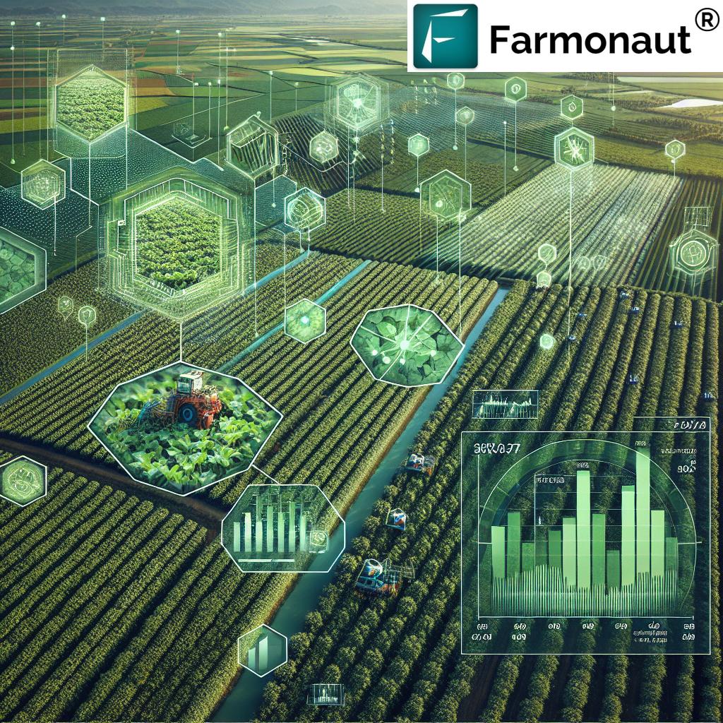
The Rise of Drone Technology in Water Irrigation
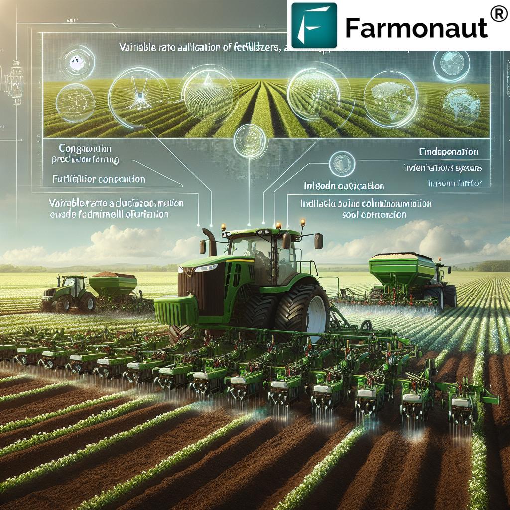
The 2025 agricultural landscape is seeing drones become an indispensable tool for water irrigation across agri valleys and beyond. Agri valley irrigation is being transformed by the integration of these advanced technologies:
How Drone for Water Irrigation Works
- Equipped for Data Collection: Drones are fitted with multi-spectral sensors, high-resolution cameras, and thermal imaging to assess soil moisture levels, plant health, and field topography.
- Real-Time Insights: Data gathered is analyzed in real time, guiding targeted application of water to specific zones—instead of uniform, inefficient coverage.
- Variable Rate Irrigation (VRI): Drones enable precision farming through VRI—automatically adjusting water flow within different areas of the field based on their unique needs and moisture variability.
- 3D Mapping for Dig Irrigation Manual Planning: Drones generate detailed topographic maps, empowering irrigation engineers and farmers to plan channels that maximize natural gravity-fed flow with minimal waste.
Drone for water irrigation doesn’t replace traditional methods. Instead, it augments them by delivering data-driven precision, increased efficiency, and optimal resource allocation across agri valley irrigation locations. By 2025, drones are rapidly becoming more accessible and affordable, even for smallholder farmers or communities in remote valleys.
Drone-borne insights empower farmers to:
- Pinpoint water needs across each zone within a field
- Immediately spot suboptimal crop growth
- Identify uneven terrain or obstacles to efficient water flow
- Reduce labor spent on trial-and-error digging
- Conserve precious resources by reducing wastage
Benefits & Applications of Drone-Assisted Irrigation
- Supports climate-resilient agriculture—adapting to weather variability
- Promotes sustainable irrigation practices
- Enables scalable solutions in areas with limited infrastructure
- Directly contributes to higher crop productivity and farmer incomes
“Combining drone data and manual techniques increased water use efficiency by 25% in pilot Agri Valley projects.”
Unlocking Efficiency: Integrating Drone and Manual Dig Irrigation in Agri Valleys
True water-use efficiency in agri valley irrigation is achieved when precision technology and time-tested manual methods are harmonized for greater impact.
How the Integration Works
- Drones map and analyze terrain: By generating high-resolution, multi-spectral imagery, drones provide actionable data on soil moisture distribution, crop stress areas, and natural water flow lines.
- Precision-guided manual digging: Farmers then employ manual dig irrigation informed by this data—placing channels, trenches, and mini-reservoirs exactly where they will be most effective.
- Feedback for continuous improvement: As conditions change (e.g., following rain, drought, or planting cycles), new drone flights help farmers adjust channel depth, angle, and location for optimized water delivery.
This hybrid approach ensures efficient distribution with minimal disruption, lessening environmental impact and maximizing crop yields within agri valleys.
Main Advantages of this Integration
- Reduced Labor Demands: Farmers spend less time on guessing or repeated digging when data identifies critical zones.
- Higher Precision in Water Use: By matching water application with actual crop needs and soil moisture, wastage drops considerably.
- Adaptable to Rural Realities: Manual dig irrigation remains a low-cost, accessible method—but with the precision previously limited to advanced infrastructure systems.
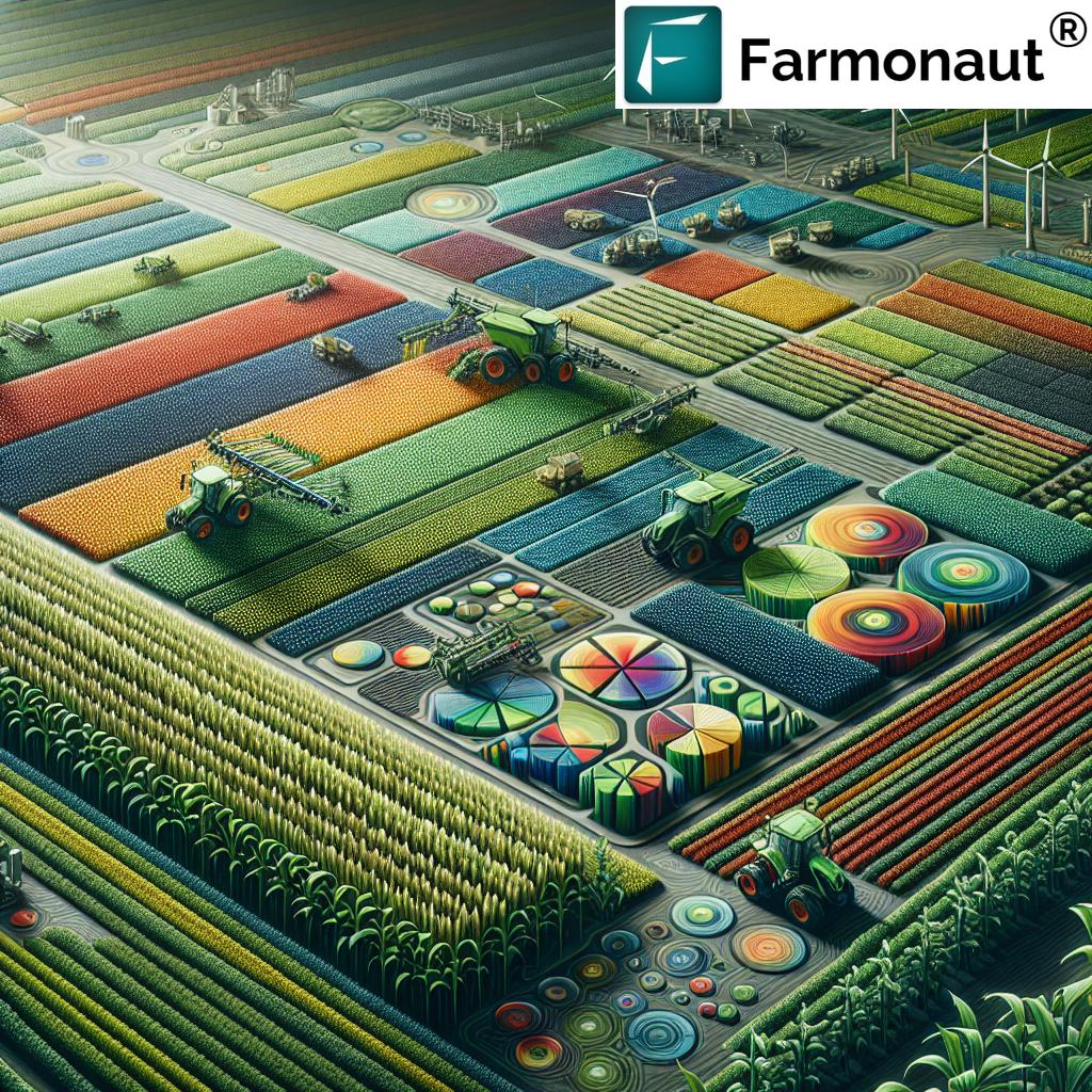
Manual Dig Irrigation vs Drone-Assisted Irrigation: A Comparative Table
The following table offers a clear comparison between traditional manual dig irrigation methods and modern drone-enabled irrigation in agri valleys:
| Method | Water Usage (L/ha, estimated) | Labor Requirements (hours/ha, est.) | Efficiency (%) | Environmental Impact | Potential Crop Yield Increase (%) |
|---|---|---|---|---|---|
| Manual Dig Irrigation | 7,500 – 12,000 | 100 – 150 | 55 – 65 | Medium – High | 0 – 10 |
| Drone-Assisted Irrigation | 4,500 – 7,500 | 40 – 60 | 80 – 90 | Low | 15 – 30 |
Efficient resource mobilization during large-scale dig irrigation manual projects is streamlined using Farmonaut’s Fleet Management solution, which helps supervisors monitor equipment location, fuel use, and movement of labor teams for maximum efficiency and safety.
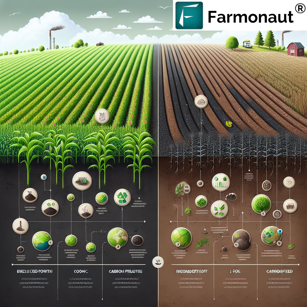
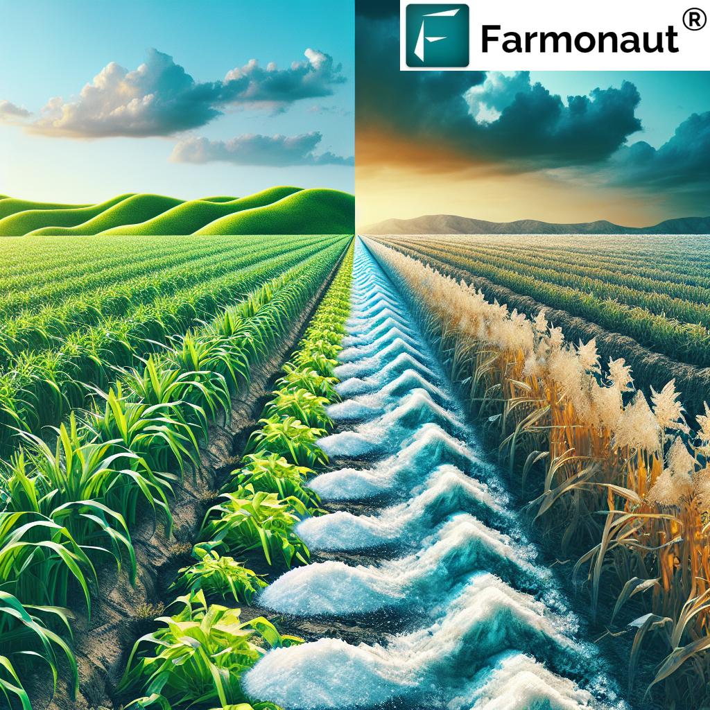
Environmental & Economic Impacts of Advanced Irrigation Solutions
Agri valley irrigation that blends drone for water irrigation with dig irrigation manual methods is a game-changer for both the environment and rural economies:
Environmental Benefits
- Significantly reduced water usage: Matching application to need in each zone within the field reduces extraction from rivers, wells, and canals.
- Less erosion and soil compaction: Data-driven planning of channels and water flow paths minimizes unnecessary digging.
- Improved soil health: More even soil moisture levels result in stronger, healthier crops and less surface runoff carrying away nutrients.
- Supports biodiversity: Lower water wastage and smarter irrigation management help keep local water tables intact and protect aquatic habitats.
Economic Advantages
- Lower production costs per hectare: Precise water distribution means less wastage and fewer labor hours—freeing up resources for other activities.
- Increased farm profitability: Variable rate technology, even when overlayed on manual systems, can increase crop yields by 15–30% in agri valleys.
- Scalability for smallholders: Falling drone prices combined with open-source analytics platforms empower even small-scale rural farmers to join the digital revolution.
- Reduction in environmental compliance costs: Teams that adopt eco-friendly irrigation systems may have easier access to sustainability certifications or green finance.
For those focusing on climate-smart agriculture, Farmonaut’s Carbon Footprinting tools utilize advanced satellite analytics to track sustainability indicators such as water savings, carbon emissions, and overall environmental impact.
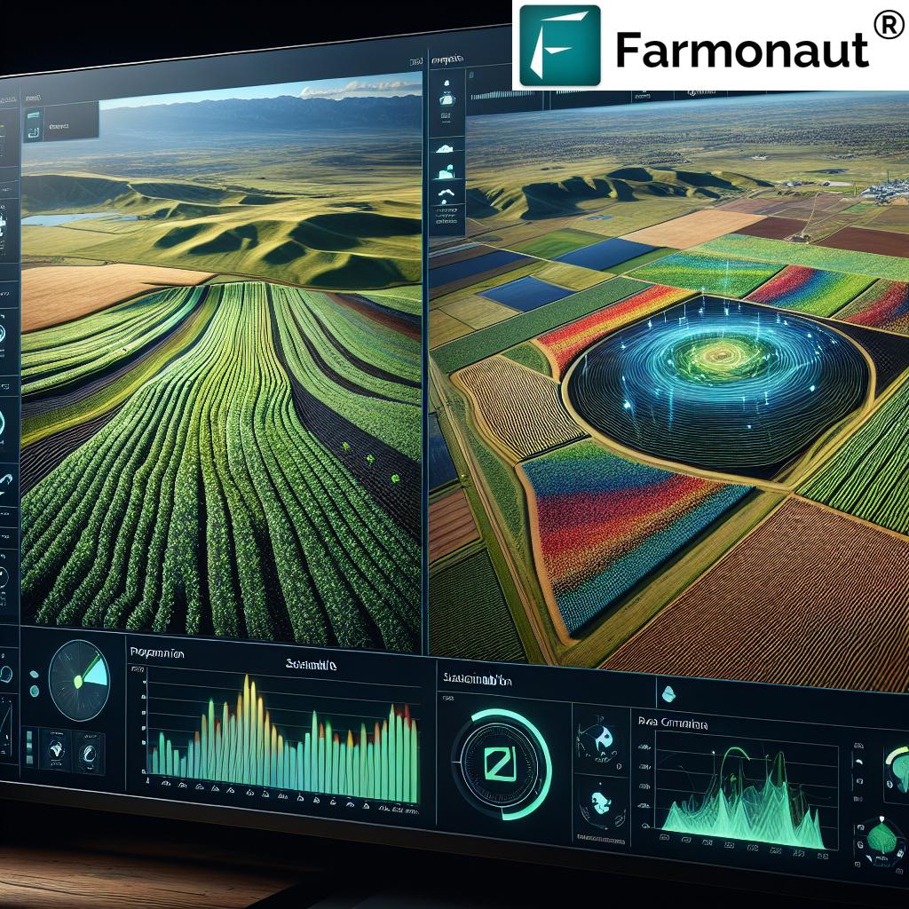
Farmonaut: Innovating Irrigation for a Sustainable Future
At Farmonaut, our guiding mission is to empower farmers, agri-sector businesses, and governments with satellite-driven, AI-powered, and blockchain-backed data solutions for resource-efficient agriculture. Agri valley irrigation in 2025—and beyond—benefits from the integration of our technology platform across several dimensions:
- Satellite-Based Crop & Soil Monitoring: We leverage multispectral images and NDVI analysis to provide real-time insights into crop health, soil moisture, and vegetation vigor—enabling smarter on-farm irrigation decisions.
- AI Advisory Systems: Our Jeevn AI gives farmers actionable strategies on dig irrigation manual improvement, irrigation scheduling, and weather adaptation.
- Blockchain Traceability: Our platform drives traceability across the agricultural value chain—forging transparency in sustainable resource use.
- Environmental Impact Tracking: Our carbon footprinting and resource management solutions help users quantify water savings, carbon emissions, and compliance with sustainability standards via remote sensing.
- Scalable App & API Solutions: Our agile app suite for Android, iOS, and web, alongside robust APIs (API Access | Developer Docs), makes advanced irrigation monitoring accessible to everyone from individual farmers to large agribusinesses.
- Financing Solutions: Using satellite verification for crop loan and insurance (Read More), we support agricultural communities with faster access to capital for upgrading irrigation infrastructure.
- Large-Scale Farm Administration: With our Large-Scale Farm Management app, we enable estate and valley managers to track performance, plan irrigation, and optimize resources at the block or region level.
- Crop Plantation & Forest Advisory: Using the Farmonaut Advisory Platform, users receive tailored recommendations for irrigation, pest, and disease control, built on satellite and AI insights.
Why Choose Farmonaut for Agri Valley Irrigation?
- Cost-Effective: We make satellite data and smart advisory accessible—without expensive hardware or high entry barriers.
- Science-Based Decisions: All recommendations are grounded in validated data sets, improving water management and reducing environmental harm.
- Resource Scalability: Our modular system is ideal for individual fields or entire valleys.
- Promoting Sustainability: We help users track, document, and improve their journey towards climate-resilient, sustainable agriculture.
2025 & Beyond: Trends Set to Shape Agri Valley Irrigation
As climate variability and global water scarcity intensify, the demand for sustainable, efficient irrigation solutions becomes even more urgent. Looking ahead, several trends will further shape agri valley irrigation:
- Greater AI Integration: Emerging AI algorithms will further automate the translation of drone-captured data into granular, actionable instructions for channel digging, water scheduling, and resource monitoring.
- Affordable Access: Lower-cost, open-source drone platforms and satellite services will soon be available to even the smallest landholders in rural valleys.
- Blockchain-Driven Transparency: Secure reporting of water use, irrigation flows, and resource inputs will strengthen traceability across the agricultural supply chain.
- Real-Time Environmental Monitoring: Farmonaut and similar platforms will make real-time updates on moisture, crop health, and water delivery efficiency a standard across valley farming systems.
- Accelerated Sustainability Compliance: Policy mandates and certification programs will soon require objectively-measured water efficiency in valley irrigation—making the adoption of drone-assisted data and manual techniques a critical business imperative for all farmers and agri-businesses.
FAQ: Agri Valley Irrigation, Drones, and Manual Digging
What is the main difference between traditional manual dig irrigation and drone-assisted irrigation?
- Traditional manual dig irrigation relies on labor-intensive channel or trench digging, often without real-time data. Drone-assisted irrigation combines this groundwork with modern data-driven insights—optimizing channel placement, water schedules, and application rates.
How do drones improve water efficiency in agri valleys?
- Drones use multi-spectral, thermal, and topographic sensors to pinpoint soil moisture variability and crop requirements. This allows farmers to target areas that need irrigation instead of uniformly watering all zones, thus reducing wastage and boosting yields.
Is drone technology affordable for smallholder farmers in rural regions?
- Yes. The price of drones and satellite-powered mapping is rapidly declining. Companies like Farmonaut provide scalable, subscription-based analytics and remote monitoring, making these solutions practical for even small plots in resource-limited valleys.
What environmental benefits are achieved via drone + manual dig irrigation?
- Reduced water use, lower soil erosion, improved crop health and biodiversity. Efficient channel placement and water schedules help protect natural waterways and local habitats.
Can I use Farmonaut to manage irrigation on my farm?
- Absolutely. With Farmonaut’s app or APIs, users gain access to satellite crop health, soil moisture, and advisory insights for optimized irrigation anywhere in the world. See the Developer Docs for integration steps.
Conclusion: The Future of Agri Valley Irrigation is Smart, Sustainable, and Digital
As we move further into 2025 and beyond, the marriage of tried-and-true dig irrigation manual techniques with cutting-edge drone for water irrigation has set a new sustainability standard in agri valleys. Efficiency, precision, and environmental stewardship now go hand in hand—ensuring rural productivity and food security without depleting the world’s precious water resources.
Farmonaut remains committed to advancing these innovations, supporting farmers everywhere as they adopt the next generation of irrigation solutions for a thriving, resilient agricultural future.
For scalable, intelligent, and sustainable agri valley irrigation, explore our platform or reach out for tailored tech solutions: