Agriculture Drone Services Pricing Near Me: 2025 Costs for Smarter Farming
“In 2025, average agriculture drone service prices range from $8 to $25 per acre, depending on imaging and spraying options.”


Overview: Agriculture Drone Services Pricing Near Me in 2025
In recent years, the agricultural sector has witnessed a remarkable shift, driven primarily by technology and innovative farming practices. The integration of drones into agriculture has revolutionized the way farmers approach crop monitoring, precision spraying, imaging, and input management. As we move into 2025, understanding agriculture drone services pricing near me has become essential for farmers and agribusinesses aiming to leverage this advanced technology efficiently.
With services now accessible and increasingly sophisticated, agriculture drones offer invaluable tools for soil analysis, crop health assessment, yield estimation, and the optimization of fertilizers and pesticides. The transition from traditional blanket spraying methods to precision aerial solutions is helping reduce waste and environmental impact, making sustainable farming more achievable than ever.
This detailed guide will provide a comprehensive understanding of the costs, factors influencing pricing, and how to find the best agriculture drone services near you in 2025.
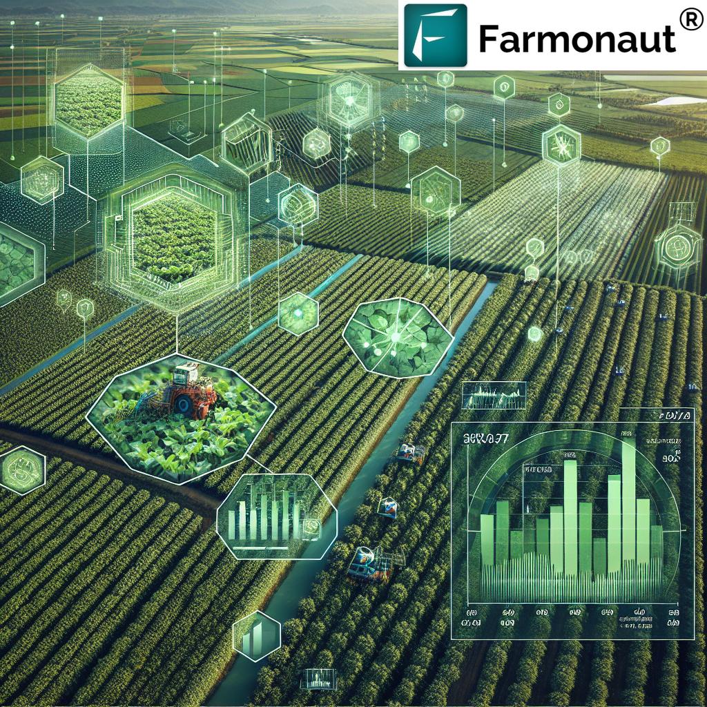
The Rise of Agriculture Drone Services
Agriculture drone services have grown from niche innovations into mainstream solutions, transforming the agricultural landscape globally. By offering multiple services — from aerial imaging, multispectral analysis, and precision spraying to soil health assessment — drones now serve an array of invaluable roles:
- Crop Monitoring & Imaging: High-resolution aerial imaging and mapping for real-time crop health monitoring.
- Precision Spraying: Drones equipped with advanced sensors target zones needing input application, reducing resource waste.
- Soil and Yield Estimation: Multispectral and thermal imaging technologies enable detailed soil and yield assessment.
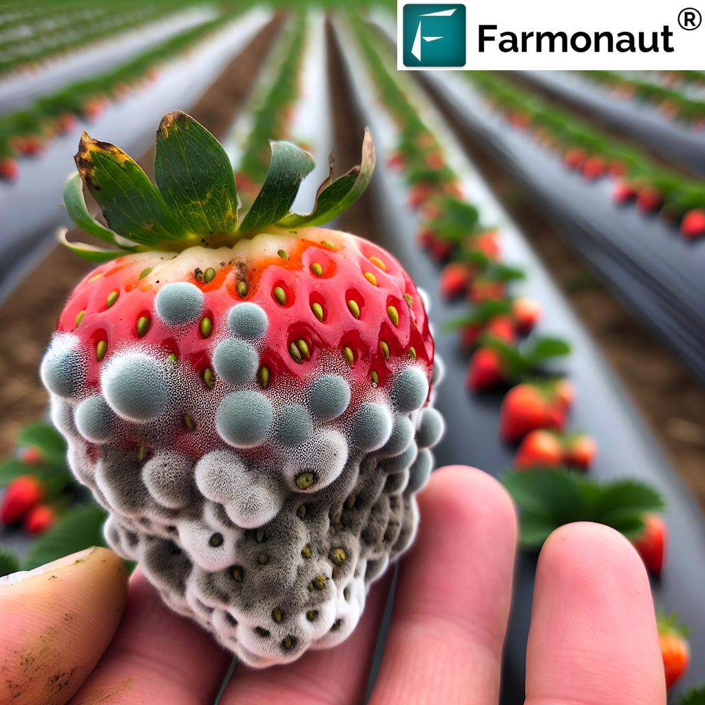
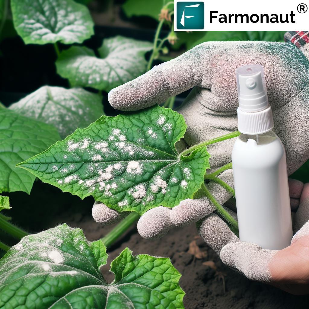
- Pest & Disease Detection: Early identification of infestations helps optimize fertilizer and pesticide usage.
The increasing integration of AI-driven analytics, robust management software, and high-quality sensors has made drone services an essential component of modern farming. As providers expand their service offerings in 2025, pricing models have become more varied and transparent, often focused on providing value per acre or per flight.
Drone technology has become more affordable, providing an opportunity for large-scale farms and smallholders alike to benefit from smarter practices and increased productivity.
Factors Influencing Agriculture Drone Services Pricing Near Me
When searching for agriculture drone services pricing near me, understanding the factors influencing costs is essential for making informed decisions:
- Type of Service: Basic aerial imaging is generally less expensive, often starting at around $5 to $15 per acre. Complex services such as multispectral analysis or precision spraying can command higher fees, sometimes exceeding $25–$40 per acre.
- Provider Expertise: Experienced service providers with advanced agronomic expertise and up-to-date equipment tend to charge premium prices, but often provide comprehensive reports and actionable insights that add value beyond simple data collection.
- Size & Location of the Farm: Larger farms may enjoy volume discounts, while remote locations can increase operational fees due to travel and logistics, affecting “near me” pricing.
- Frequency & Contract Terms: Subscription pricing or seasonal contracts for regular flights often offer better rates than one-off services, particularly for continuous monitoring over the growing season.
- Regulatory Compliance: In 2025, stricter regulatory requirements — such as licensing and certification — may influence operational costs as providers invest in compliance, insurance, and training.
Key Factors Affecting Drone Pricing in Agriculture:
- Service type & complexity
- Provider expertise and technology
- Farm size, acreage, and location
- Number and frequency of drone flights
- Regulatory and licensing costs
- Data analytics & reporting requirements
Understanding these factors helps farmers choose the service that best matches their needs and budget for 2025 and beyond.
“Precision drone imaging technology can capture up to 500 acres per flight, significantly influencing service pricing for large farms.”
Comparative Pricing Table for Agriculture Drone Services (2025)
| Service Category | Price Range (2025) | Type of Drone | Tech Features | Typical Inclusions | Main Pricing Factors |
|---|---|---|---|---|---|
| Mapping / Imaging | $8 – $20 per acre | Multi-rotor, Fixed-wing | High-res cameras, GPS, AI imaging | Aerial maps, Health indices (NDVI), PDF/CSV reports | Acreage, image resolution, location, frequency |
| Precision Spraying | $25 – $50 per acre | Multi-rotor | Auto flight, Precision nozzles, Variable input rates | Spraying prescription, Usage logs, Real-time adjustment | Crop type, terrain, weather, chemicals used |
| Crop Health Analysis (Multispectral & Thermal) |
$15 – $35 per acre | Multi-rotor, Fixed-wing with advanced sensors | Multispectral, NDVI, AI analytics | Detailed crop health reports, Early pest/disease detection | Sensor type, data depth, acreage, provider expertise |
| Soil & Yield Estimation | $20 – $45 per acre | Fixed-wing, Multi-rotor | Thermal/LiDAR, In-field IoT integration | Soil moisture mapping, Yield forecasts, Data visualization | Measurement frequency, technology, data integration |
| Data Analysis & Reporting | $100 – $300 per farm (often bundled) | N/A (Software based) | Cloud platforms, Machine learning, APIs | Dashboard, Actionable insights, Integration with farm systems | Analysis depth, user requests, report complexity |
Key takeaway: Service pricing varies significantly, so carefully compare features, technology, and provider expertise when choosing agriculture drone services near me.
Average Agriculture Drone Services Price Ranges in 2025
The average price breakdown for agriculture drone services in 2025 gives farmers and agribusinesses a clearer benchmark for “agriculture drone services pricing near me”:
- Basic Crop Monitoring & Aerial Imaging: $10–$20 per acre
- Advanced Imaging (Multispectral, Thermal, LIDAR): $20–$35 per acre
- Precision Spraying: $30–$50 per acre
- Data Analysis & Reporting: $100–$300 per farm per service (often bundled with imaging)
Some providers now offer subscription models and packages that bundle satellite-based analytics platforms for year-long monitoring at a discounted rate per flight or per acre.
Choosing the Right Drone Services Near You in 2025
With an increasing number of providers offering agriculture drone services near you, how do you find the best fit for your farm and budget?
Best Practices for Selecting a Local Agriculture Drone Service
- Check Local Reputation and Reviews: Seek providers with proven experience and positive feedback from farmers in your region.
- Evaluate Technology & Equipment: Inquire about drone models, sensors, and imaging technology. Advanced equipment brings better data and more accurate insights.
- Customization & Support: Services that tailor their offerings to your crop, soil, and farming practices deliver higher ROI.
- Integration with Farm Management Systems: Seamless integration with existing management software improves efficiency. (Explore our Large Scale Farm Management Solutions)
- Pilot Projects: Ask about trial flights or small-acre projects at a reduced rate to evaluate service quality.
Tip: Proximity to local service hubs often cuts travel fees and improves response times for “agriculture drone services near me.”
Smart Technology & Market Trends in Agriculture Drone Services
The agriculture drone service market is constantly evolving, with 2025 ushering in new technologies that directly impact costs and services:
- AI-Driven Analytics: Machine learning models now analyze multispectral and thermal imagery to deliver actionable insights on crop health, pest outbreaks, and yield potential much faster than manual scouting.
- Autonomous Flight and Fleet Management: Providers deploy fleets of drones operating in autonomous swarms, reducing labor costs and increasing coverage per flight. (See how fleet optimization helps with drone fleet management.)
- IoT Integration: On-farm sensors and drones now share data to enable real-time decision making.
- Blockchain Traceability: For agriculture supply chains, traceability platforms are improving product authentication (Discover our Blockchain-based Traceability Solutions).
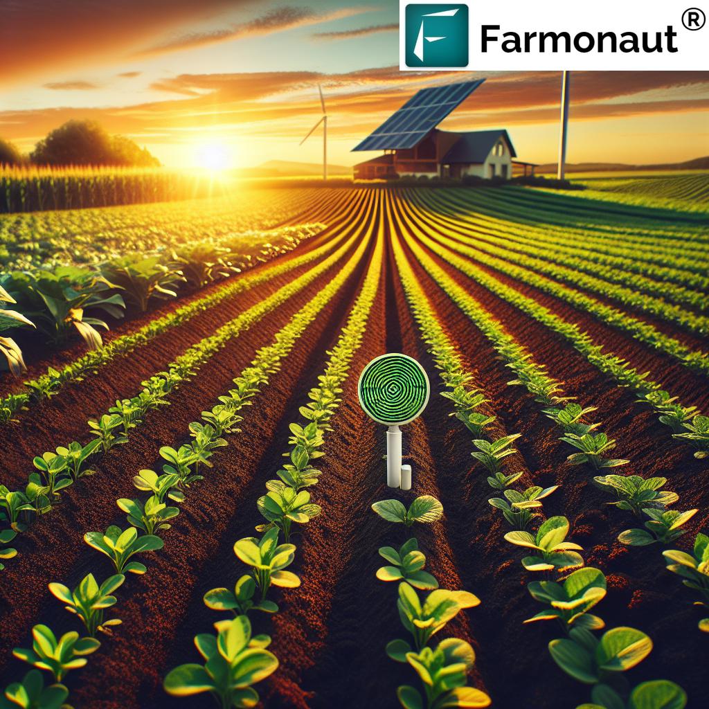
Sustainability monitoring like carbon footprint analysis is also now more widely available to farmers through aerial drone surveys and satellite-driven solutions (explore our carbon footprint tracking tools).
Subscription Models vs. One-Off Pricing
- Subscription models grant continuous data integration and dashboards for season-long monitoring at discounted per-flight rates.
- One-off projects provide flexibility for farmers who require services only at specific growth stages.
The best choice depends on farm size, management approach, and budget constraints.
The Power of Data Analytics in Drone-Driven Agriculture
Agri-drones are not just about imaging — the true value lies in actionable data analytics that help farmers make smarter decisions:
- Real-Time Monitoring: Automated alerts and NDVI indices detect pest infestations, drought stress, and nutrient deficiencies early.
- Smart Reporting: Custom reports deliver clear, data-rich, and visual findings (maps, trends, recommendations).
- Farm Management System Integration: Easy integration with external management software improves collaboration and transparency.
Cloud-based APIs now allow automated integration of drone data with your preferred tools and dashboards, creating centralized farm management systems.
Try our developer API here or explore the API documentation.
Example Uses of Agri-Drone Data Integration
- Precision irrigation recommendations based on soil moisture and thermal mapping
- Real-time harvest estimation models using multi-flight data feeds
- Fertilizer & pesticide application mapping to reduce input costs and environmental waste
How We at Farmonaut Empower Agriculture with Data & Monitoring
At Farmonaut, our mission is to make satellite-driven insights affordable and accessible to individuals, businesses, and governments. We do this by combining satellite technology, AI analytics, blockchain-based traceability, and practical resource management tools via web, Android, iOS, and API platforms.
- Satellite-Based Monitoring: Our technology leverages multispectral satellite images to monitor crop health (NDVI), soil moisture, and stress in near real-time across large fields. This enables farmers and agro-managers to track vegetation health and optimize resources for higher productivity.
- AI Advisory System (Jeevn AI): The Jeevn AI platform provides tailored, actionable insights and recommendations based on satellite and environmental data, increasing yields and streamlining farm operations.
- Blockchain Traceability: We deliver transparent, tamper-proof supply chain records for crop products, meeting compliance and consumer trust requirements.
- Fleet and Resource Management: Our platform assists in managing drone fleets and other farm equipment, reducing operational costs and improving efficiency.
- Environmental Impact Monitoring: With carbon footprint analysis tools, users can track emissions and adopt more sustainable practices.
Explore our satellite-powered crop monitoring services, AI-based advisory recommendations, and resource management features designed to future-proof your farming operations.
Our satellite-based crop loan and insurance verification platform also supports access to farm financing, making insurance and credit more accessible while reducing the risks of fraud for financial institutions.
Flexible Subscription Plans: We offer affordable pricing tiers based on field size, monitoring frequency, and feature requirements.
FAQ: Agriculture Drone Services Pricing & More
What are the main factors impacting agriculture drone services pricing near me in 2025?
Key factors include service type, provider expertise, farm size and location, frequency of flights, advanced sensor use, and local regulatory compliance fees.
How much should I expect to pay per acre for basic drone imaging?
As of 2025, basic aerial imaging generally costs between $10 and $20 per acre. Volume and frequency discounts may apply for larger or ongoing projects.
Can drones help reduce my farm’s environmental impact?
Absolutely. Precision spraying and input optimization reduce chemical waste, while aerial monitoring can track soil health and carbon footprint. Explore carbon footprint tools here.
What is included in data analysis and reporting?
Data analysis often includes health indices (such as NDVI), pest pressure maps, detailed PDF/CSV reports, and custom recommendations based on real-time monitoring results.
How do I find the best agriculture drone service providers near me?
Look for providers with quality customer support, advanced technology, strong local reputation, and the ability to integrate data with your farm management system. Consider pilot projects to test service quality.
Can I integrate satellite and drone data together?
Yes. Combining satellite analytics with drone imaging yields more comprehensive insights. Our platform offers seamless integration via APIs and dashboards (see large-scale farm management).
Are there affordable solutions for smallholder farms?
Subscription models and cloud-based tools lower the cost of entry, enabling even small farms to adopt advanced monitoring and precision spraying.
How is regulatory compliance managed in 2025?
Licensed pilots and certified providers ensure operations comply with local aviation and privacy laws. These compliance measures may slightly increase operational fees, but ensure safety and legality.
Conclusion: Preparing for the Future of Farming with Agriculture Drone Services
As 2025 unfolds, agriculture drone services continue to evolve, becoming smarter, more accessible, and more affordable for farmers everywhere. Whether you’re focused on precision spraying, advanced imaging, crop health analysis, or sustainable practices, the right drone solution can dramatically enhance productivity and environmental stewardship.
By understanding the factors influencing pricing — including service type, provider expertise, acreage, and frequency — and leveraging the latest technology trends, farmers and agribusinesses can make well-informed investments that yield measurable returns. The future of agriculture is data-driven, decentralized, and highly optimized — and drone services are at its core.
Ready to take your farm monitoring, resource management, and analysis to the next level using AI and satellite technology? Try our app or API solutions today.
For more learning, see our video guides and tutorials above — or learn about advisory solutions for crop, plantation, and forestry.
Explore “agriculture drone services pricing near me” in 2025 — and invest in the future of smart, sustainable farming!