Decoding Land Use Categories: Color-Coded Classes and Their Essential Details for Optimal Land Management
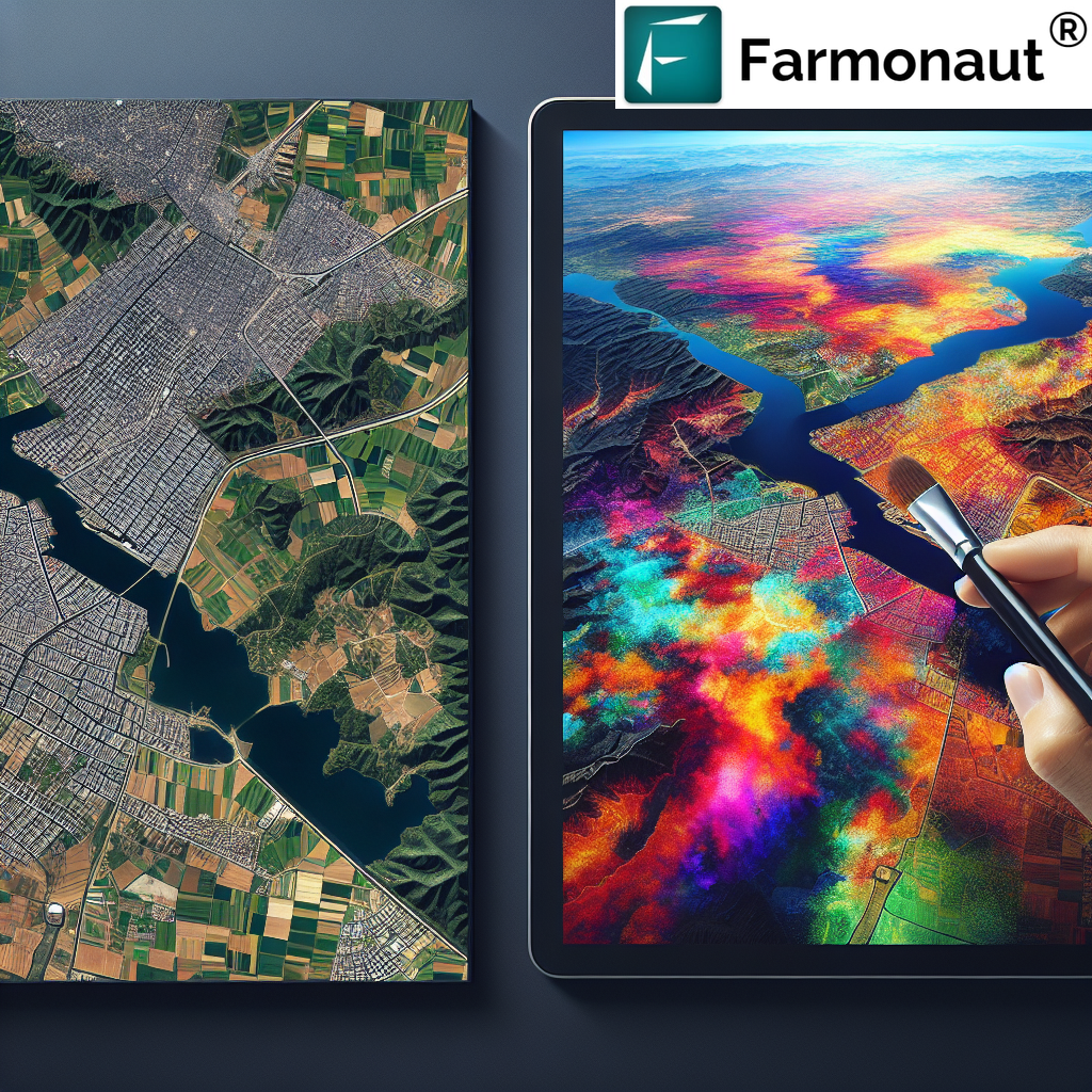
At Farmonaut, we understand the critical importance of efficient land management in today’s rapidly evolving agricultural landscape. As pioneers in satellite-based farm management solutions, we’ve dedicated ourselves to making precision agriculture accessible and affordable for farmers worldwide. In this comprehensive guide, we’ll delve deep into the intricate world of land use categories, exploring their color coding, classifications, and essential details that can revolutionize your approach to land management.
Understanding Land Use Categories and Color Coding
Land use categories and color coding form the backbone of modern land management systems. These classifications provide a visual representation of how land is utilized, making it easier for farmers, urban planners, and policymakers to make informed decisions. Let’s explore the fundamental aspects of this system:
The Importance of Land Use Classification
Land use classification is a systematic approach to categorizing land based on its current use or intended purpose. This classification system serves several crucial functions:
- Facilitates efficient urban and rural planning
- Aids in resource allocation and management
- Supports environmental conservation efforts
- Enhances agricultural productivity through targeted interventions
- Assists in policy formulation and implementation
Color Coding: A Visual Language for Land Use
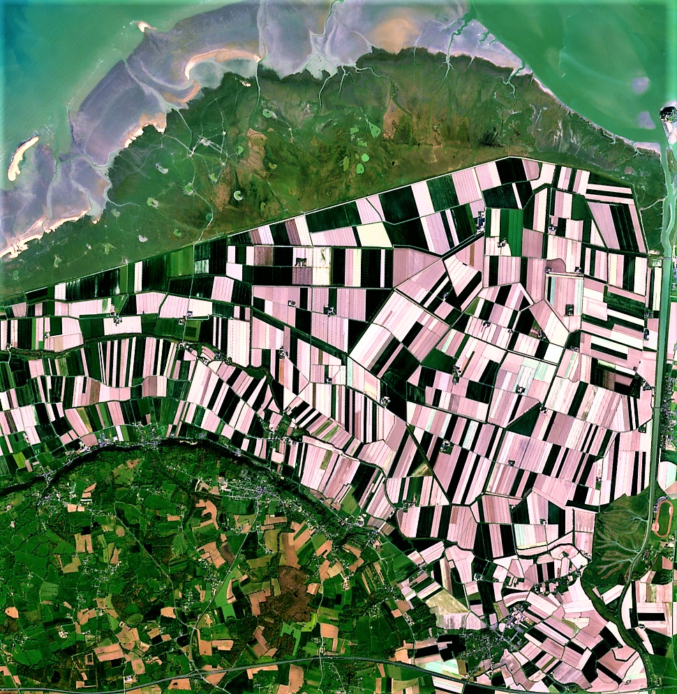
Color coding in land use maps is not arbitrary; it’s a carefully designed system that allows for quick and intuitive understanding of land utilization. Here’s a general overview of common color codes used in land use mapping:
- Green: Often represents vegetation, forests, or agricultural land
- Yellow: Typically indicates residential areas
- Red: Usually denotes commercial or industrial zones
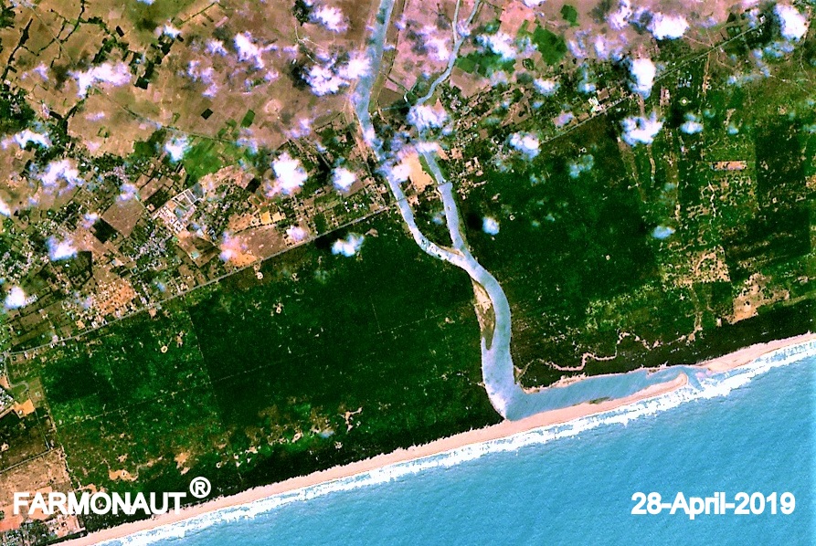
- Blue: Represents water bodies like rivers, lakes, and oceans
- Brown: Often used for barren or undeveloped land
- Purple: May indicate institutional or governmental areas
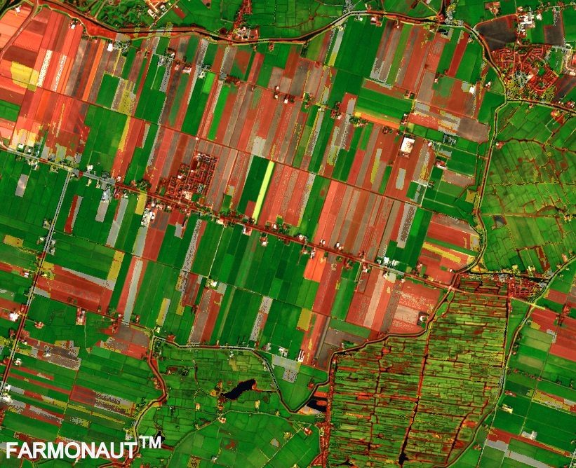
At Farmonaut, we leverage these color-coding principles in our satellite imagery analysis, providing farmers with intuitive visual representations of their land’s health and utilization.
Exploring Land Use Classes in Detail
Understanding the various land use classes is crucial for effective land management. Let’s delve into the major categories and their characteristics:
1. Agricultural Land
Agricultural land is the backbone of our food production systems. It encompasses various subcategories:
- Cropland: Areas used for growing crops
- Pastures: Land used for grazing livestock
- Orchards: Areas dedicated to fruit or nut trees
- Vineyards: Land used for growing grapes
Our Farmonaut platform provides detailed insights into agricultural land health through our advanced satellite-based crop monitoring system. Learn more about our services here.
2. Forest Land
Forest lands play a crucial role in maintaining ecological balance. They are categorized into:
- Natural Forests: Untouched or minimally managed forest areas
- Managed Forests: Forests actively managed for timber production or conservation
- Reforestation Areas: Lands being restored to forest cover
3. Urban and Built-up Areas
Urban areas represent human settlements and infrastructure. They include:
- Residential Areas: Housing and living spaces
- Commercial Zones: Areas for business and trade
- Industrial Areas: Factories and manufacturing sites
- Transportation Infrastructure: Roads, railways, and airports
4. Water Bodies
This category includes all types of water resources:
- Rivers and Streams
- Lakes and Ponds
- Oceans and Seas
- Wetlands and Marshes
5. Barren or Undeveloped Land
These are areas with minimal vegetation or human use:
- Deserts
- Rocky Areas
- Tundra
- Glaciers
The Significance of Land Use Details in Modern Agriculture
Understanding land use details is critical for effective agricultural management. At Farmonaut, we emphasize the importance of these details in our satellite-based solutions:
Soil Composition and Health
Different land uses impact soil composition differently. Our satellite imagery analysis provides insights into:
- Soil organic matter content
- Nutrient levels
- Soil moisture retention capacity
Vegetation Health and Density
Our NDVI (Normalized Difference Vegetation Index) analysis offers detailed information on:
- Crop health status
- Vegetation density
- Biomass estimation
Water Resource Management
Effective use of land for agriculture heavily depends on water management. Our solutions provide:
- Irrigation efficiency analysis
- Water stress detection in crops
- Runoff and erosion risk assessment
Optimizing the Use of Land with Farmonaut’s Technology
At Farmonaut, we’re committed to helping farmers optimize their land use through cutting-edge technology. Here’s how our solutions contribute to better land management:
Precision Agriculture
Our satellite-based monitoring system enables precision agriculture by providing:
- Real-time crop health monitoring
- Zone-specific management recommendations
- Resource optimization suggestions
AI-Driven Advisory
Our Jeevn AI system offers personalized advice based on land use details:
- Crop selection recommendations
- Optimal planting and harvesting schedules
- Pest and disease management strategies
Sustainable Land Management
We promote sustainable land use practices through:
- Carbon footprint tracking
- Soil conservation recommendations
- Biodiversity enhancement suggestions
The Role of Color Coding in Farmonaut’s Satellite Imagery
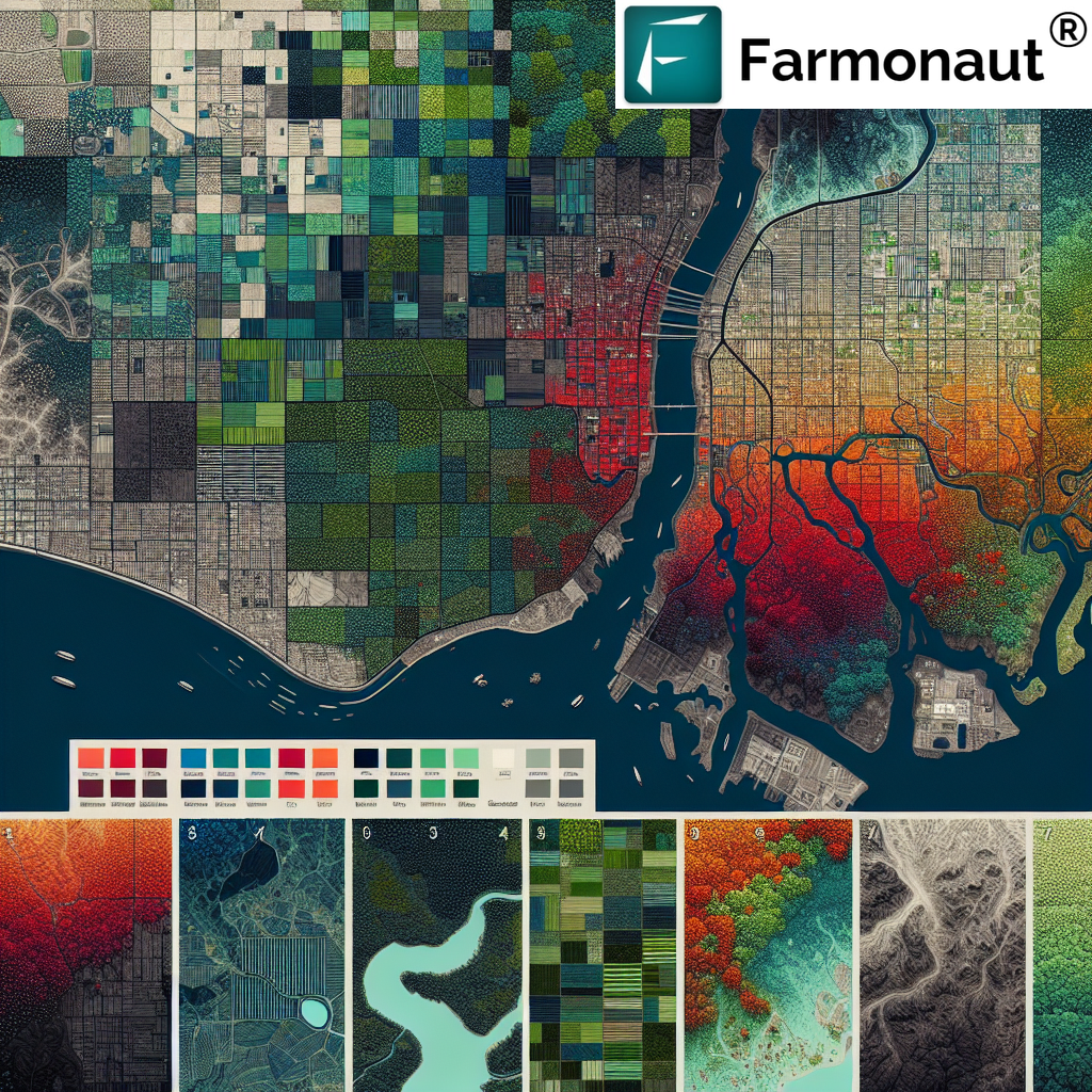
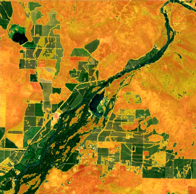
At Farmonaut, we utilize advanced color coding techniques in our satellite imagery to provide farmers with intuitive visual representations of their land. Here’s how we apply color coding to enhance understanding:
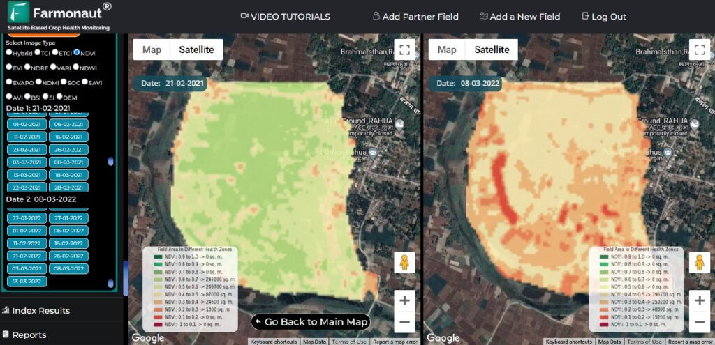
NDVI Color Scheme
Our Normalized Difference Vegetation Index (NDVI) maps use a color scheme that ranges from red to green:
- Deep Red: Indicates very low vegetation health or bare soil
- Yellow to Light Green: Represents moderate vegetation health
- Dark Green: Signifies healthy, dense vegetation
Soil Moisture Visualization
We use a blue-based color scheme to represent soil moisture levels:
- Light Blue: Low soil moisture
- Medium Blue: Adequate soil moisture
- Dark Blue: High soil moisture or potential waterlogging
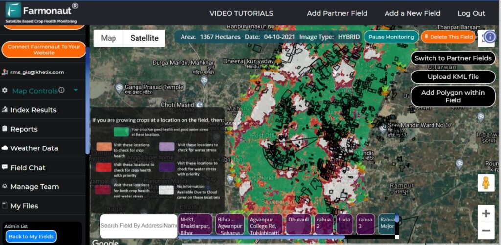
Crop Stress Indicators
Our crop stress maps employ a traffic light color system:
- Green: Healthy crops with no significant stress
- Yellow: Moderate stress levels requiring attention
- Red: High stress levels indicating urgent intervention needed
Integrating Land Use Data with Farmonaut’s Solutions
At Farmonaut, we believe in the power of integrating comprehensive land use data with our advanced agricultural solutions. Here’s how we combine land use information with our technology:
Customized Crop Recommendations
By analyzing land use details and historical data, our AI system provides:
- Crop rotation suggestions based on soil health and previous land use
- Variety recommendations suited to specific land characteristics
- Planting density advice optimized for land type and available resources
Resource Allocation Optimization
Our platform helps farmers optimize resource use based on land characteristics:
- Precision irrigation scheduling tailored to soil type and crop needs
- Fertilizer application recommendations based on soil nutrient profiles
- Pest management strategies adapted to local ecosystem dynamics
Long-term Land Use Planning
We assist in strategic land use planning through:
- Soil conservation recommendations to maintain long-term fertility
- Crop diversification strategies to enhance biodiversity and resilience
- Climate change adaptation plans based on projected land use changes
The Future of Land Use Management with Farmonaut
As we look to the future, Farmonaut is committed to pushing the boundaries of land use management through innovative technologies:
Advanced AI and Machine Learning
We’re continuously improving our AI algorithms to provide even more accurate and personalized land use recommendations. Our future developments include:
- Predictive modeling for crop yield based on land use patterns
- Automated detection of land use changes and their potential impacts
- AI-driven scenario planning for optimal land use strategies
Integration with IoT and Drones
While our satellite-based system offers unparalleled coverage, we’re exploring ways to integrate with other technologies:
- Combining satellite data with ground-level IoT sensors for enhanced accuracy
- Integrating drone imagery for high-resolution, on-demand land assessments
- Creating a comprehensive, multi-layered approach to land use monitoring
Blockchain for Land Use Traceability
We’re expanding our blockchain capabilities to enhance land use traceability:
- Creating immutable records of land use history
- Enabling transparent verification of sustainable land management practices
- Facilitating carbon credit systems based on verifiable land use data
Comparing Farmonaut’s Satellite System with Drone and IoT-Based Monitoring
| Feature | Farmonaut Satellite System | Drone-Based Monitoring | IoT-Based Monitoring |
|---|---|---|---|
| Coverage Area | Large scale (Global) | Medium scale (Local) | Small scale (Field-level) |
| Frequency of Data Collection | Regular (Every few days) | On-demand | Continuous |
| Initial Setup Cost | Low | High | Medium |
| Maintenance Required | Minimal | Moderate | High |
| Data Processing Complexity | High (Handled by Farmonaut) | Moderate | Low |
| Accessibility for Small Farmers | High | Low | Medium |
| Weather Independence | Moderate | Low | High |
| Integration with AI and Big Data | Advanced | Moderate | Moderate |
Leveraging Farmonaut’s API for Enhanced Land Use Analysis
For developers and businesses looking to integrate advanced land use data into their systems, Farmonaut offers a robust API. Our API provides access to a wealth of satellite and weather data, enabling the creation of custom applications for land use analysis and management.
Key features of our API include:
- Access to historical and real-time satellite imagery
- NDVI and other vegetation index calculations
- Soil moisture data
- Weather forecasts and historical weather data
- Crop type identification
To explore the possibilities of integrating Farmonaut’s data into your applications, check out our API documentation and developer resources.
Accessing Farmonaut’s Solutions
Our commitment to making precision agriculture accessible extends to how we deliver our services. Farmonaut’s platform is available through various channels to suit different user preferences:
- Web Application: Access our full suite of tools through any web browser. Try it now.
- Mobile Apps: Stay connected on the go with our mobile applications:
- API Integration: For businesses and developers looking to integrate our data into their systems. Explore our API.
Subscribe to Farmonaut
Ready to revolutionize your approach to land management? Subscribe to Farmonaut and unlock the full potential of your agricultural land:
Frequently Asked Questions (FAQ)
Q: What is the primary benefit of using Farmonaut’s satellite-based system for land use management?
A: The primary benefit is the ability to monitor large areas of land efficiently and cost-effectively, providing real-time insights into crop health, soil moisture, and other critical factors without the need for extensive on-ground equipment or personnel.
Q: How often is the satellite imagery updated in Farmonaut’s system?
A: Our satellite imagery is typically updated every 3-5 days, depending on the specific location and satellite coverage. This frequent update allows for timely monitoring of changes in land use and crop health.
Q: Can Farmonaut’s system detect specific crop types?
A: Yes, our advanced AI algorithms can identify and classify various crop types based on their spectral signatures in satellite imagery. This feature helps in crop mapping and monitoring specific crop health across large areas.
Q: How does Farmonaut’s color coding system help in understanding land use?
A: Our color coding system provides an intuitive visual representation of various land use aspects. For example, in NDVI maps, different shades of green indicate varying levels of vegetation health, allowing for quick identification of areas that may need attention.
Q: Is Farmonaut’s system suitable for small-scale farmers?
A: Absolutely. We’ve designed our system to be accessible and affordable for farmers of all scales. Our tiered pricing model ensures that small-scale farmers can benefit from precision agriculture technologies without significant investment.
Q: How does Farmonaut integrate weather data with land use information?
A: We combine satellite imagery with local weather data to provide comprehensive insights. This integration allows us to offer predictions on how weather patterns might affect crop health and soil conditions, enabling proactive management decisions.
Q: Can Farmonaut’s system help in sustainable land management practices?
A: Yes, our system promotes sustainable practices by providing data on soil health, water usage efficiency, and crop rotation needs. We also offer carbon footprint tracking to help farmers and agribusinesses monitor and reduce their environmental impact.
Q: How accurate is the satellite-based data compared to on-ground measurements?
A: While satellite data provides a broad overview, its accuracy can be very high, especially when combined with our AI algorithms. For most applications, the accuracy is sufficient for making informed management decisions. However, for highly precise measurements, we recommend complementing satellite data with occasional ground truthing.
Q: Does Farmonaut offer support for interpreting the land use data?
A: Yes, we provide extensive support through our AI advisory system, which interprets the data and provides actionable recommendations. Additionally, our customer support team is available to assist users in understanding and leveraging the insights provided by our platform.
Q: Can Farmonaut’s system be integrated with other farm management software?
A: Absolutely. We offer API access that allows for seamless integration with other farm management tools and software. This flexibility ensures that Farmonaut can be part of a comprehensive farm management ecosystem.
In conclusion, understanding and effectively managing land use categories is crucial for sustainable agriculture and efficient resource utilization. At Farmonaut, we’re committed to providing cutting-edge solutions that make this complex task more accessible and actionable for farmers and land managers worldwide. By leveraging our satellite-based technology, color-coded imagery, and AI-driven insights, you can optimize your land use strategies and drive sustainable growth in your agricultural endeavors.
Ready to transform your approach to land management? Get started with Farmonaut today and unlock the full potential of your land!


