Table of Contents
- Introduction
- Understanding Moisture Mapping
- Technologies Employed in Moisture Mapping
- Primary Applications in Agriculture and Forestry
- Comparative Table: Moisture Mapping Technologies
- Benefits of Moisture Mapping Services
- Challenges and Considerations in Moisture Mapping
- Farmonaut’s Advanced Moisture Mapping Solutions
- Future Outlook: The Evolution of Moisture Mapping Services
- FAQ: Moisture Mapping Service
- How to Subscribe to Farmonaut Moisture Mapping Service
- Conclusion
“Moisture mapping can increase crop yields by up to 20% through precise irrigation management using advanced sensors.”
Moisture Mapping Service: Boost Crop Yields Quickly
In today’s rapidly evolving agricultural landscape, moisture mapping services have become essential tools for farmers, agribusinesses, and foresters committed to high-yield, sustainable, and efficient food production. By harnessing data from soil moisture sensors, remote sensing in agriculture, satellite imagery for crop monitoring, and advanced mapping technologies, we can visualize and manage soil water levels and vegetation health with unprecedented accuracy and speed.
In this comprehensive guide, we’ll explore what moisture mapping really means, how modern sensors and satellites are transforming irrigation management, the direct benefits for yield, sustainability, and costs, and why solutions like Farmonaut’s advanced soil moisture monitoring services offer a leap forward over traditional methods.
Understanding Moisture Mapping in Modern Agriculture
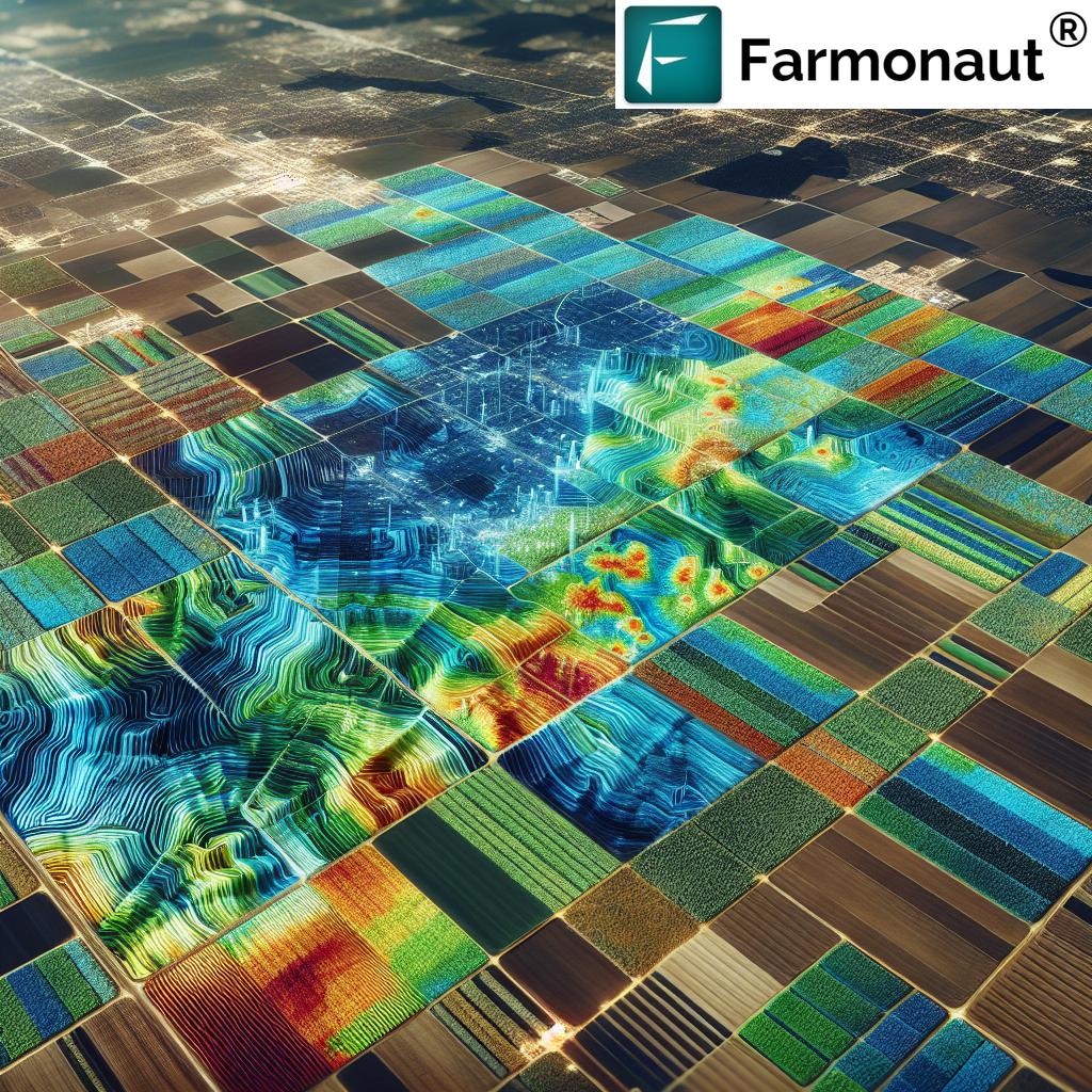
Moisture mapping is the systematic measurement and visualization of soil moisture and plant water content across agricultural and forestry landscapes. This process integrates multiple technologies—from ground sensors to satellite imagery—to assess spatial and temporal variability in water levels.
Accurate moisture data is crucial for:
- Effective irrigation scheduling and precision irrigation management
- Drought prediction tools and response planning
- Crop yield prediction technologies and optimized harvesting
- Nutrient management and minimizing fertilizer loss
- Sustainable practices—reducing wastage, conserving water, and supporting environmental health
Traditional soil moisture measurement methods often involved limited coverage and labor-intensive sampling. With the rise of comprehensive, real-time data from modern mapping services, decision-making has become vastly more efficient and data-driven.
“Remote sensing technology analyzes soil moisture across fields in minutes, covering areas over 100 hectares at once.”
Technologies Employed in Soil Moisture Mapping and Data Gathering
1. Remote Sensing in Agriculture
Satellites & Satellite Imagery for Crop Monitoring
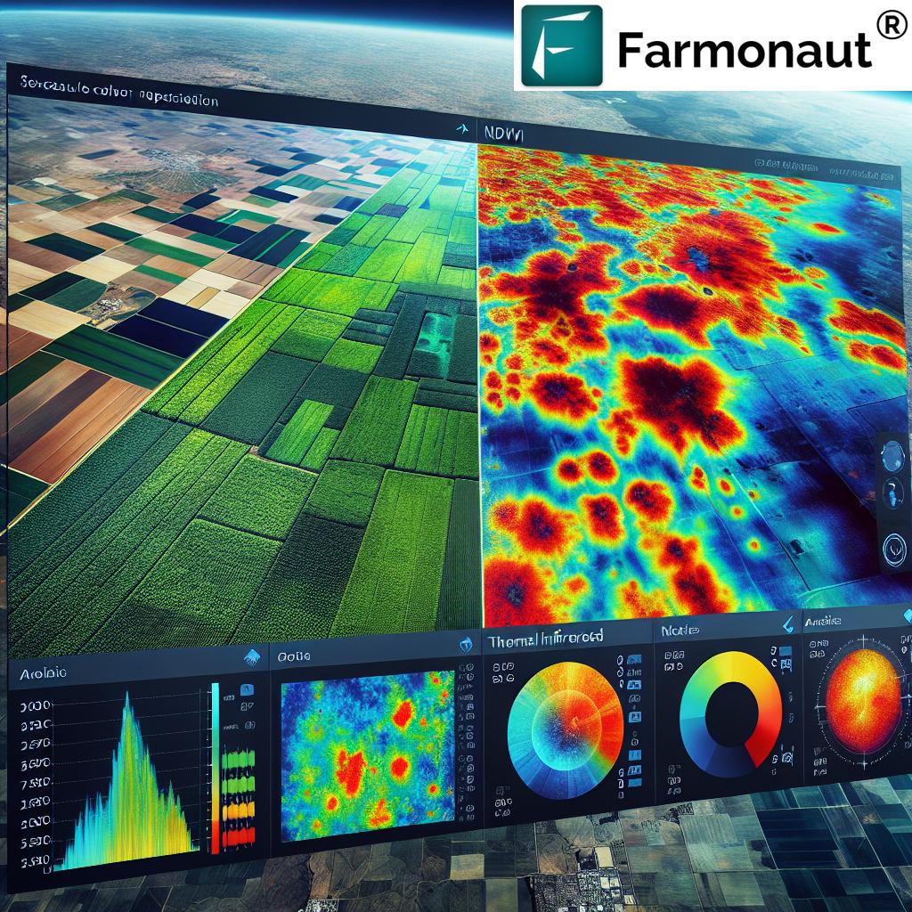
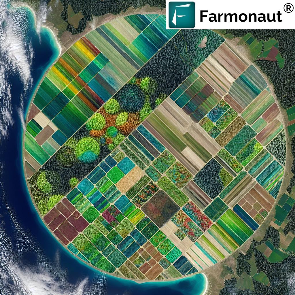
Modern remote sensing solutions utilize satellites equipped with advanced microwave sensors. These satellites, such as SMAP or Copernicus, detect soil moisture by capturing the earth’s natural microwave emissions—signals that correlate closely with surface and root-zone water content.
- Data is processed into high-resolution moisture maps, usually updated daily, with field resolutions between 10–250 meters.
- Remote sensing in agriculture is unaffected by cloud cover or dense vegetation, ensuring consistent data flow even during challenging seasons.
- These maps provide actionable insights on drought-prone areas or overwatered zones, facilitating optimal resource allocation.
2. Ground-Based Sensors: Soil Moisture Sensors
GPR, Electromagnetic, and IoT Devices
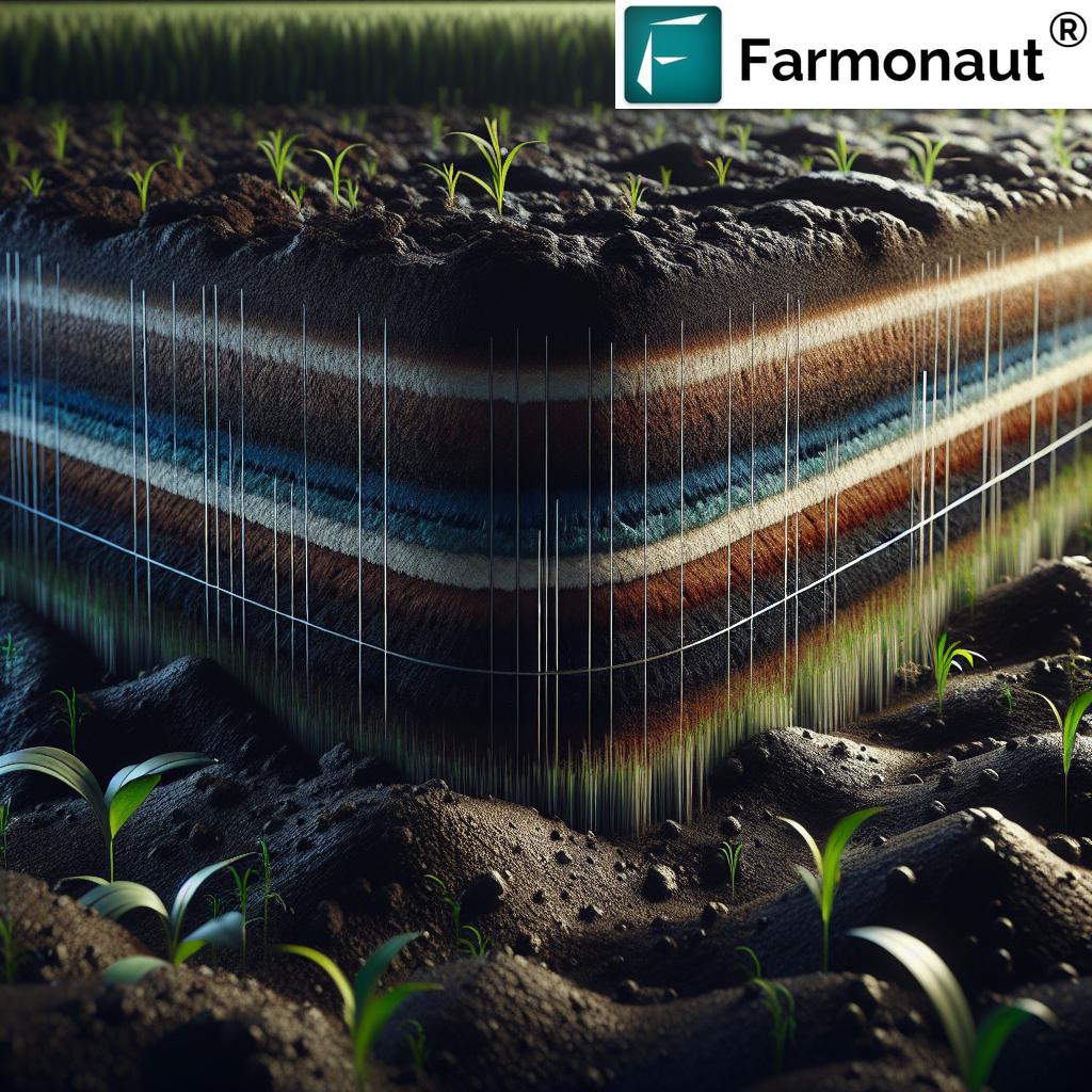
Ground-based soil moisture sensors such as ground-penetrating radar (GPR) and electromagnetic induction sensors are embedded directly into soil or scanned across fields. These devices offer:
- Layered detection—measuring moisture at different depths, enabling deep-rooted crop analysis
- Real-time data captured via mobile/web applications
- Data integration via GPS technology for spatial visualization (heatmaps/field maps)
These soil moisture monitoring services are highly valuable for irrigation management and localized moisture detection.
3. Drones & UAVs: Aerial Mapping for Water and Crop Health
Drones and UAVs now play a pivotal role in agricultural moisture data mapping. Fitted with multispectral sensors, these tools provide:
- High-resolution imagery capturing crop health, soil moisture, and nutrient deficiencies
- Rapid field coverage—scanning dozens of hectares in a single flight
- Support for precision irrigation management by highlighting dry or saturated field zones
4. Autonomous Robots & Smart Exploration
Robots equipped with non-contact soil moisture sensors autonomously traverse fields, adjusting their routes based on data quality and spatial variability. This robotic approach ensures highly accurate, detailed moisture maps, especially valuable for research-intensive or large-scale agricultural areas.
How Data Flows in a Modern Moisture Mapping System
- Sensor/Satellite Data Collection: Data is gathered from satellites (such as those utilized by Farmonaut), ground sensors, drones, and robots.
- Data Processing & Visualization: Raw information is cleaned, analyzed using AI/ML models (for pattern recognition), and visualized as field maps or dashboards.
- User Access: Farmers, foresters, or agribusinesses access insights through mobile/web platforms and receive actionable recommendations for irrigation, fertilizer application, and risk management.
Primary Applications: How Soil Moisture Mapping Transforms Agriculture & Forestry
Precision Irrigation Management: Using Moisture Mapping Services for Smart Water Use
Precision irrigation harnesses data-driven insights from soil moisture mapping to identify spatial variability in field water levels. Farmers can then:
- Apply water only to the areas and timeframes that actually need it, cutting water costs by up to 30%
- Reduce risk of overwatering (which contributes to root diseases and nutrient leaching)
- Ensure optimal crop health for maximum yields
These systems can be manually controlled or fully integrated into **automated variable-rate irrigation systems** powered by data from Farmonaut or similar platforms.
Drought Prediction Tools & Management
By monitoring moisture trends over time at both surface and root-zone levels, agricultural managers predict drought conditions weeks earlier than with traditional weather data alone. Early detection enables:
- Switching to drought-resistant crop varieties
- Shifting planting schedules to better match weather patterns
- Implementing efficient water management in farming to conserve scarce resources during dry spells
Crop Yield Prediction Technologies and Harvest Planning
Soil water levels are among the most significant variables driving crop growth and yield prediction. Advanced soil moisture data from satellites and sensors allow for:
- More accurate yield models—crucial for planning, storage, and logistics
- Dynamic resource allocation to areas that promise the greatest returns
- Improved profitability for both smallholder and large-scale farmers
Platforms like Farmonaut’s satellite-based farm monitoring (see our advanced remote sensing for moisture, temperature, and organic carbon analysis) provide real-time, actionable insights for optimal management.
Nutrient Management: Reduce Fertilizer Costs and Environmental Impact
Moisture mapping identifies areas with excessive water coverage—critical for reducing nutrient leaching and ensuring that fertilizer applications match crop requirements.
- Cut back on wasted fertilizer and related costs
- Support sustainable practices, minimizing downstream environmental hazards
Forest Management, Sustainability, and Risk Mitigation
In forestry, tracking soil and vegetation moisture distribution helps in:
- Assessing forest health and planning for reforestation
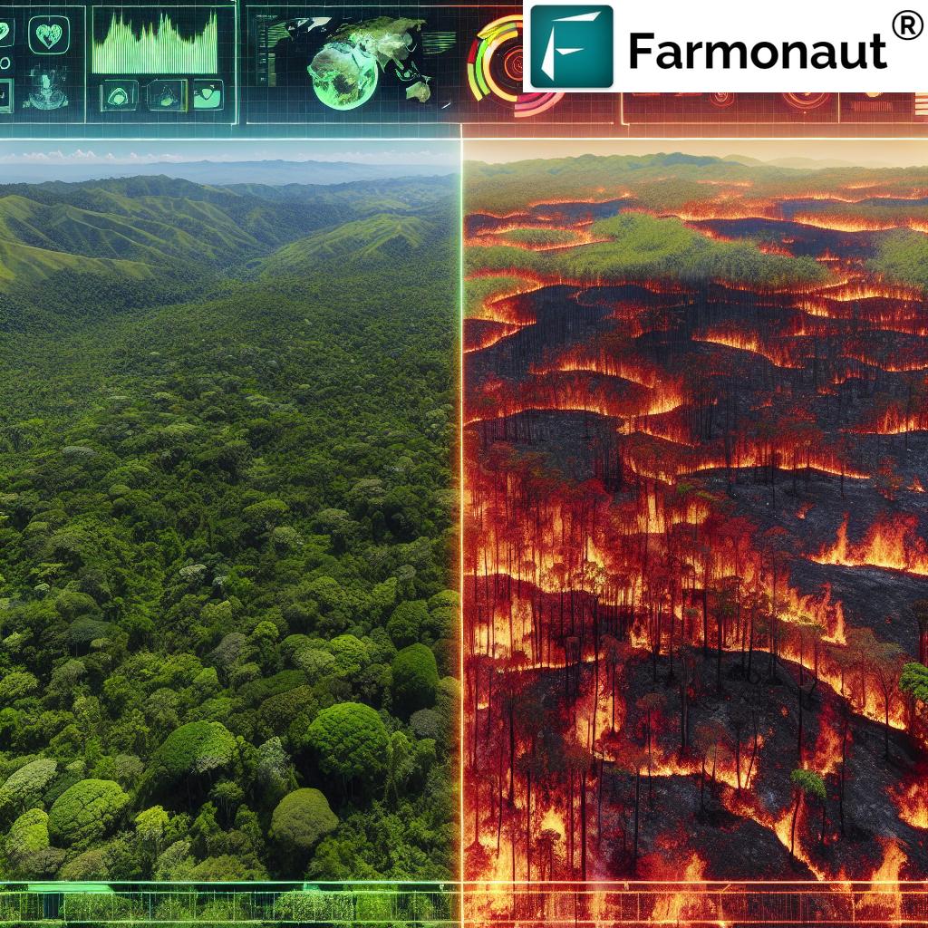
- Controlling burn risks—since dry areas are mapped for safe, controlled burning
- Supporting long-term sustainability and biodiversity
Our Crop & Plantation/Forest Advisory Platform offers field-level insights vital for modern forest management and carbon tracking.
Comparative Table: Key Moisture Mapping Technologies & Their Impact
| Technology | Estimated Cost ($/hectare) |
Data Frequency | Accuracy (%) | Potential Yield Improvement (%) |
Sustainability Impact |
|---|---|---|---|---|---|
| Traditional Soil Moisture Sensors | $18–$45 | Per sensor, Weekly | 70–80% | Up to 7% | Low–Medium |
| Remote Sensing (Satellites/Drones) | $6–$15 | Daily (Satellites), On-demand (Drones) | 80–92% | 12–17% | Medium–High |
| Farmonaut Moisture Mapping Service | $2–$5 | Up to every 3 days (seasonal variability) |
90–98% | Up to 20% | High |
*Values are estimated for comparative purposes and may vary based on location, field size, and service provider.*
Benefits of Moisture Mapping Services for Agriculture and Forestry
- Enhanced Resource Efficiency: Implementing moisture mapping with soil moisture sensors and satellite/remote technologies enables more efficient water and fertilizer management, cutting costs while improving ecosystem sustainability.
- Improved Crop Health and Yields: Precisely managed moisture delivers better crop growth, less stress, and demonstrably increased yields and quality.
- Data-Driven Decision Making: Farmers and foresters make informed decisions by leveraging real-time, actionable agricultural moisture data.
- Environmental Sustainability: Better moisture management prevents overuse of resources and nutrient leaching, reducing environmental impact and supporting long-term land sustainability.
- Scalable, Cost-Effective Coverage: Remote sensing and satellite imagery cover extensive areas, allowing both smallholders and large operations to access world-class technologies.
How Moisture Mapping Benefits Different Stakeholders
- Smallholders get affordable, scalable solutions and access to real-time mobile data for each plot.
- Agribusinesses can optimize resources, improve traceability with blockchain (see how Farmonaut traceability protects your harvest’s integrity), and efficiently manage large-scale operations using agro admin dashboards.
- Governments and NGOs leverage comprehensive moisture data for policy, subsidies, and largescale drought risk management.
- Financial institutions can perform satellite-based field verification with services such as crop loan & insurance verification, reducing fraud while accelerating access to capital for farmers.
Interested in integrating Farmonaut’s soil and weather data into your own systems? Explore comprehensive Farmonaut Satellite Weather API and view the full developer documentation at Farmonaut Satellite & Weather API Developer Docs.
Challenges and Key Considerations in Adopting Moisture Mapping
- Data Integration: Combining soil data from satellites, drones, and ground sensors requires sophisticated modeling and interoperability between systems.
- Cost of Implementation: Initial investments for top-tier technology can be significant. However, platforms like Farmonaut offer solutions at scalable, more accessible price points, democratizing access even for small-scale farmers.
- Data Interpretation: Making the most of the data requires expertise. Farmonaut addresses this with tools like Jeevn AI Advisory System—turning complex data into actionable insights, reducing the knowledge barrier for end users.
- Technological Limitations: Factors like vegetation density, cloud cover, soil properties, and sensor calibration can affect accuracy; for best results, blend multiple methods and consult field experts.
Farmonaut’s Advanced Moisture Mapping Solutions: Technology, Accessibility, and Value
As a pioneering agricultural technology company, we at Farmonaut deliver cutting-edge soil moisture mapping, satellite-based crop monitoring, and comprehensive resource management tools for all farming and forestry stakeholders—accessible via Android/iOS/Web App and robust APIs.
Farmonaut Technologies at a Glance:
- Satellite-Based Crop & Moisture Monitoring: Harnesses multispectral imagery for clear, field-level data on soil moisture levels, vegetation health, and organic carbon content.
- AI-Powered Jeevn Advisory System: Offers real-time, custom guidance for resource optimization, crop health, and risk avoidance, ensuring farmers make informed decisions directly from their mobile or desktop.
- Blockchain Traceability: Secure, transparent record-keeping for your field data. Learn more about blockchain-based traceability and its benefits for crop buyers.
- Fleet & Resource Management: Streamline agricultural operations, reduce logistics costs, and optimize large-scale plantation management (Fleet Management Platform & Agro Admin App).
- Carbon Footprinting: Monitor and reduce environmental impact with real-time carbon emission insights (Carbon Footprinting Product Page).
Our mission is to democratize precision agriculture—making the most advanced moisture mapping services affordable, accessible, and actionable for farmers and organizations worldwide.
- Real-time crop health monitoring—enabling early pest, disease, or stress detection for the entire season.
- Yield and drought prediction tools—helping you plan ahead for high productivity and sustainable land use.
Our modular, subscription-based services are available to individual farmers, agribusinesses, government institutions, and corporate clients of all sizes. Flexible plans put powerful soil moisture mapping and crop advisory tools at your fingertips—whether you farm 1 hectare or 10,000.
How to Subscribe to Farmonaut Moisture Mapping & Crop Monitoring Services
Choose the right plan for your agricultural needs—whether you’re a smallholder, business, or research institution. Our subscriptions provide ongoing access to cutting-edge moisture mapping, data analytics, and precision management tools.
Future Outlook: The Next Generation of Moisture Mapping Services
The landscape for soil moisture mapping is entering an era of exponential progress, fueled by advances in satellite sensors, AI/ML data processing, blockchain traceability, and affordable, mobile access. Expect the following trends in the next decade:
- Increased resolution, frequency, and global coverage—even small fields will benefit from satellite imagery with near-real-time insights.
- AI-driven insights—personalized crop, irrigation, and sustainability advice based on continuous learning from millions of hectares worldwide.
- Seamless integration with finance, crop loans, and insurance—field data directly supporting risk management and access to capital, further empowered by secure blockchain verification.
- Wider adoption in forestry, conservation, and carbon tracking—moisture and ecosystem health maps become standard tools for land stewards everywhere.
For those invested in sustainable yields, resource efficiency, and environmental stewardship, the future of moisture mapping spells opportunity and resilience.
FAQ: Moisture Mapping Service
What is moisture mapping and why is it important in agriculture?
Moisture mapping is the process of measuring and visualizing soil and plant water levels across agricultural or forest landscapes. It is crucial because it enables optimized irrigation, prevents drought damage, maximizes yields, and helps ensure sustainable use of resources.
Which technologies are most effective for moisture mapping?
Modern soil moisture mapping integrates remote sensing (satellite & drone imagery), ground-based sensors, and advanced analytics. Satellite-based platforms such as Farmonaut offer comprehensive, scalable, and cost-effective solutions across all farm and forestry sizes.
How does Farmonaut’s solution differ from traditional soil moisture sensors?
Farmonaut uses satellite multispectral imagery resulting in wider spatial coverage, more frequent updates, and actionable AI-powered insights—at a cost per hectare that’s typically far lower than physical sensor arrays.
Can I integrate Farmonaut’s data with my existing farm management system or app?
Yes! Full API access and developer documentation make it easy to connect Farmonaut with your preferred tools and platforms.
Does moisture mapping support climate resilience and environmental sustainability?
Absolutely. By optimizing water, fertilizer, and input use, moisture mapping increases farming efficiency and minimizes environmental impact, supporting climate-resilient agriculture and forest sustainability.
Conclusion: From Traditional Fields to Data-Driven Efficiency
Moisture mapping services have redefined the way we approach resource management, sustainability, and yield optimization in agriculture and forestry. By integrating soil moisture sensors, remote sensing, satellite imagery for crop monitoring, and comprehensive data mapping, practitioners now gain access to actionable insights that were previously unimaginable.
Platforms like Farmonaut’s remove traditional barriers—offering scalable, real-time, and highly accurate solutions to farmers, agribusinesses, governments, and the broader ecosystem. Whether optimizing irrigation, preparing for drought, or maximizing yield prediction, these technologies deliver efficiency, sustainability, and peace of mind.
Embrace the power of moisture mapping and unlock the true productivity potential of your fields, plantations, and forests—driving prosperity for today and resilience for tomorrow.


