Jeera Farm Mapping in Rajasthan: A Comprehensive Look at Precision Agriculture and Remote Sensing
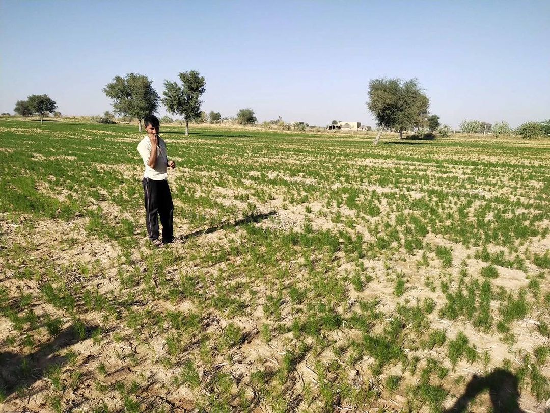
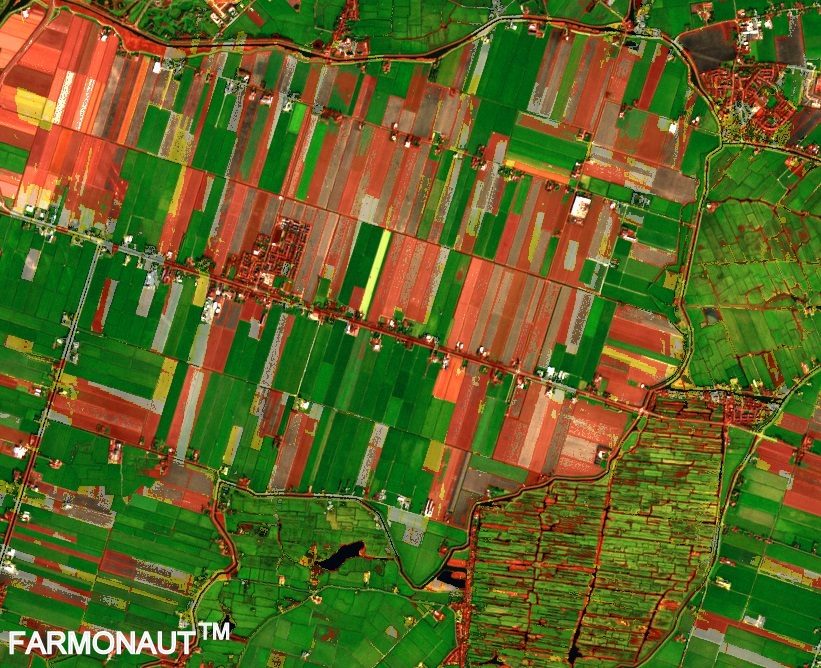
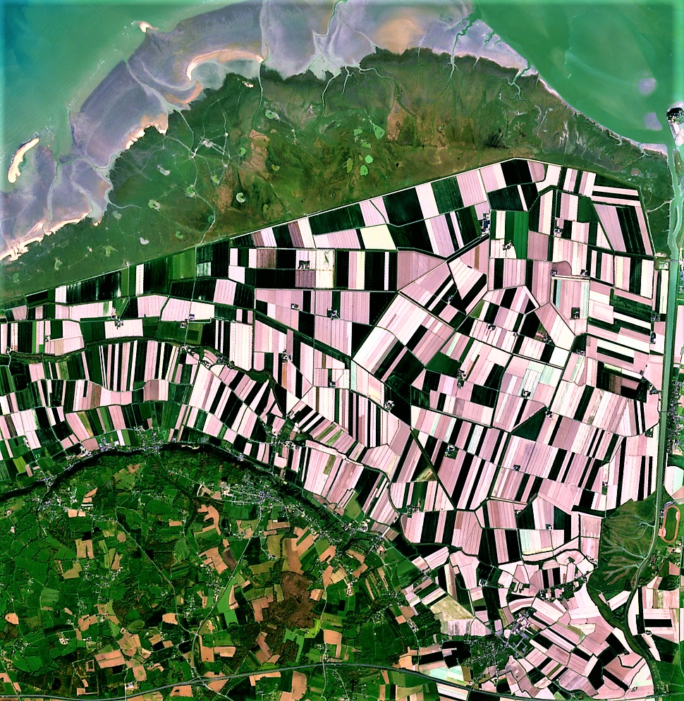
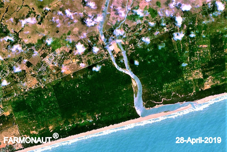
At Farmonaut, we’re excited to share our latest endeavor in the world of precision agriculture and remote sensing. We’re currently engaged in a fascinating project: mapping jeera (cumin) farms in Rajasthan, India. This initiative is not just about creating pretty maps; it’s a crucial step towards accurate jeera area estimation in the region. Let’s dive deep into the world of farm mapping, remote sensing, and how these technologies are revolutionizing agriculture.
Understanding Jeera (Cumin) Cultivation in Rajasthan
Before we delve into the technical aspects of our mapping project, it’s essential to understand the significance of jeera cultivation in Rajasthan.
- Rajasthan is India’s largest producer of cumin, accounting for about 70% of the country’s total production.
- Cumin is a major cash crop for farmers in the region, with significant economic importance.
- The arid climate and sandy soils of Rajasthan are ideal for cumin cultivation.
- Accurate estimation of jeera cultivation areas is crucial for agricultural planning, market predictions, and policy-making.
The Importance of Jeera Area Estimation
Jeera area estimation is a critical process that provides valuable insights into the cumin industry. Here’s why it matters:
- Agricultural Planning: Knowing the exact area under cumin cultivation helps in resource allocation and crop rotation planning.
- Market Predictions: Accurate area estimates lead to better yield predictions, influencing market prices and trade decisions.
- Policy Making: Government agencies use this data to formulate agricultural policies and subsidy programs.
- Food Security: Understanding cultivation patterns contributes to overall food security strategies.
- Environmental Management: It helps in assessing the environmental impact of cumin cultivation and planning sustainable practices.
Our Approach to Jeera Farm Mapping
At Farmonaut, we’re employing cutting-edge technologies to map jeera farms in Rajasthan. Our approach combines satellite imagery, ground truthing, and advanced data analysis techniques.
1. Satellite Imagery Analysis
We utilize high-resolution satellite imagery to get a bird’s-eye view of the cultivation areas. Our process involves:
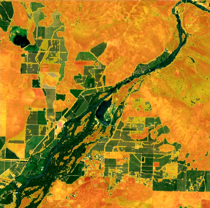
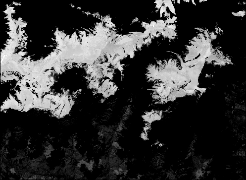
- Multispectral Imaging: We use multispectral satellite data to analyze various aspects of the land and vegetation.
- Infrared Remote Sensing: This technology helps us distinguish between different types of vegetation and soil conditions.
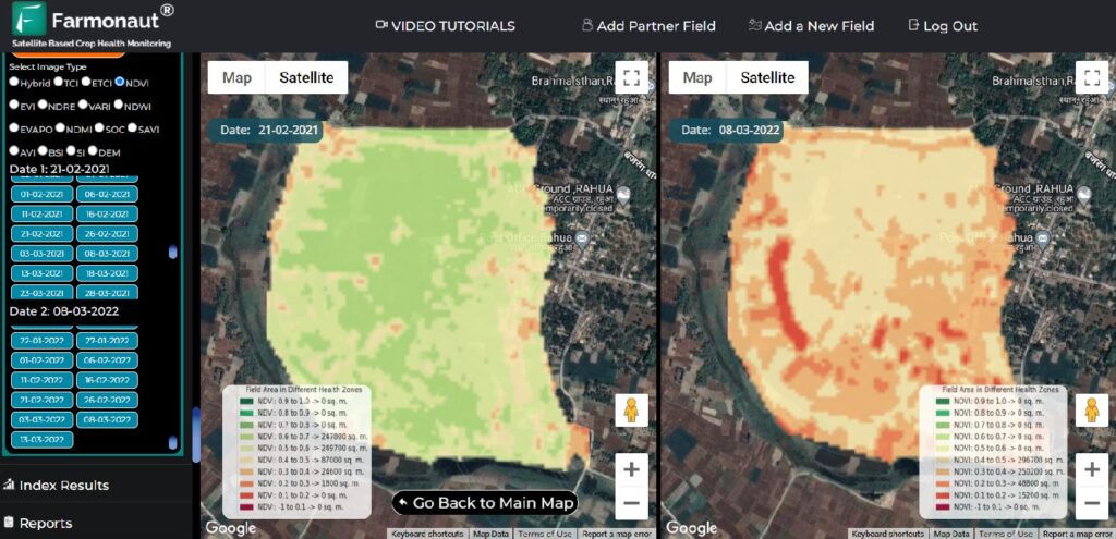
- Time-Series Analysis: By comparing images over time, we can track the growth and development of cumin crops.
2. Ground Truthing
While satellite imagery provides a wealth of information, ground truthing is essential to ensure the accuracy of our data. Our ground truthing process involves:
- Field visits to verify satellite data interpretation
- Collection of soil samples and crop health data
- Interviews with local farmers to gather insights on cultivation practices
- GPS mapping of field boundaries
3. Data Integration and Analysis
Once we have both satellite data and ground truth information, we integrate and analyze this data using advanced algorithms and machine learning techniques. This allows us to:
- Accurately classify land use and identify cumin cultivation areas
- Estimate the total area under cumin cultivation in Rajasthan
- Assess crop health and predict potential yields
- Identify patterns in cultivation practices across different regions
The Role of Precision Agriculture in Jeera Farming
Our jeera farm mapping project is just one aspect of precision agriculture, a farming management concept that’s transforming the agricultural landscape. Precision agriculture uses information technology and a wide array of items such as GPS guidance, control systems, sensors, robotics, drones, autonomous vehicles, variable rate technology, GPS-based soil sampling, automated hardware, telematics, and software.
Benefits of Precision Agriculture for Jeera Farmers
- Optimized Resource Use: By precisely mapping fields, farmers can apply water, fertilizers, and pesticides only where and when they’re needed, reducing waste and environmental impact.
- Improved Crop Quality: Precise management of growing conditions leads to better quality cumin production.
- Increased Yields: By addressing variability within fields, farmers can maximize yields across their entire cultivation area.
- Cost Savings: Efficient use of resources translates to lower input costs for farmers.
- Environmental Protection: Precision agriculture helps reduce the environmental footprint of farming activities.
Farmonaut’s Role in Advancing Precision Agriculture
At Farmonaut, we’re committed to making precision agriculture accessible and affordable for farmers worldwide. Our platform integrates satellite imagery, AI, and machine learning to provide valuable insights for farm management.
Key Features of Farmonaut’s Platform
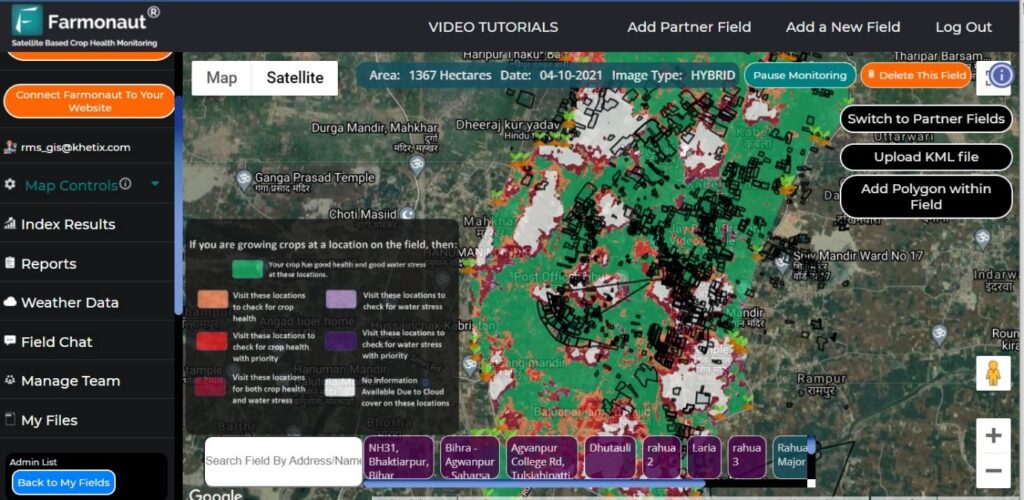
- Satellite-Based Crop Health Monitoring: We use multispectral satellite images to monitor crop health, providing insights into vegetation health (NDVI), soil moisture levels, and other critical metrics.
- AI-Powered Advisory System: Our Jeevn AI system delivers real-time insights, weather forecasts, and expert crop management strategies.
- Blockchain-Based Traceability: We offer traceability solutions that ensure transparency and security in agricultural supply chains.
- Resource Management Tools: Our platform includes tools for efficient management of agricultural resources and machinery.
To learn more about our services or to start using our platform, visit
Farmonaut App.
Comparing Satellite, Drone, and IoT-based Farm Monitoring
While various technologies are available for farm monitoring, satellite-based systems like Farmonaut offer unique advantages. Here’s a comparison:
| Feature |
Farmonaut Satellite System |
Drone-based Monitoring |
IoT-based Monitoring |
| Coverage Area |
Large (regional to global) |
Medium (local) |
Small (field-level) |
| Frequency of Data Collection |
Regular (every few days) |
On-demand |
Continuous |
| Initial Setup Cost |
Low |
High |
Medium to High |
| Operational Complexity |
Low |
High |
Medium |
| Data Processing |
Automated |
Semi-automated |
Automated |
| Scalability |
High |
Medium |
Low to Medium |
The Future of Jeera Farming with Precision Agriculture
As we continue our jeera farm mapping project in Rajasthan, we’re excited about the potential impact on the cumin industry and agriculture as a whole. The future of jeera farming with precision agriculture looks promising:
- Improved Yield Predictions: With accurate area estimation and health monitoring, we can provide more precise yield predictions, helping farmers and markets prepare better.
- Sustainable Farming Practices: By optimizing resource use, we can help make jeera cultivation more sustainable and environmentally friendly.
- Enhanced Food Security: Better planning and management of cumin crops contribute to overall food security.
- Economic Benefits: Farmers can potentially increase their profits through improved yields and reduced input costs.
- Data-Driven Policy Making: Accurate data on cultivation areas and practices can inform better agricultural policies.
Challenges and Opportunities in Jeera Area Estimation
While our jeera farm mapping project offers immense potential, it’s not without challenges. Some of the key issues we’re addressing include:
- Data Accuracy: Ensuring the accuracy of satellite data interpretation through robust ground truthing methods.
- Farmer Adoption: Encouraging farmers to adopt new technologies and practices based on our findings.
- Data Privacy: Protecting farmer data while providing valuable insights to stakeholders.
- Climate Variability: Accounting for the impact of changing climate patterns on cumin cultivation.
- Technology Integration: Seamlessly integrating our satellite-based system with existing agricultural practices.
These challenges also present opportunities for innovation and improvement in our methodologies and technologies.
How Farmers Can Benefit from Farmonaut’s Services
If you’re a jeera farmer in Rajasthan or involved in any other type of agriculture, Farmonaut’s services can significantly benefit your operations:
- Real-time Crop Monitoring: Get up-to-date information on your crop’s health and growth.
- Weather Forecasts: Access accurate, localized weather predictions to plan your farming activities.
- Expert Advice: Receive personalized recommendations for crop management through our AI advisory system.
- Resource Optimization: Use our tools to manage your resources more efficiently, reducing waste and costs.
- Market Insights: Gain valuable insights into market trends and demand for your crops.
To start using our services, download our mobile app:
Farmonaut for Android
Farmonaut for iOS
Farmonaut’s API: Empowering Developers and Businesses
For developers and businesses looking to integrate our data and insights into their own applications, we offer a robust API. Our API provides access to:
- Satellite imagery data
- Weather forecasts
- Crop health indices
- Soil moisture data
- And more
Learn more about our API and how to use it in your projects:
Farmonaut API Documentation
Join the Agricultural Revolution with Farmonaut
Our jeera farm mapping project in Rajasthan is just one example of how we’re revolutionizing agriculture through technology. By combining satellite imagery, ground truthing, and advanced data analysis, we’re providing unprecedented insights into crop cultivation and management.
Whether you’re a farmer looking to optimize your operations, a researcher studying agricultural trends, or a policymaker seeking data-driven insights, Farmonaut has the tools and expertise to support your needs.
Frequently Asked Questions (FAQ)
Q: What is jeera area estimation?
A: Jeera area estimation is the process of accurately measuring and predicting the total land area used for cumin cultivation in a specific region, in this case, Rajasthan. It involves using various technologies like satellite imagery and ground truthing to gather data on cumin fields.
Q: How does Farmonaut use satellite imagery for farm mapping?
A: Farmonaut uses high-resolution multispectral satellite imagery to analyze vegetation health, soil moisture, and other critical factors. We process this imagery using advanced algorithms to identify cumin fields and assess their conditions.
Q: What is ground truthing, and why is it important?
A: Ground truthing involves collecting data on the ground to verify and calibrate satellite imagery interpretations. It’s crucial for ensuring the accuracy of our mapping and estimation processes.
Q: How can farmers benefit from precision agriculture?
A: Precision agriculture helps farmers optimize resource use, improve crop quality, increase yields, reduce costs, and minimize environmental impact through data-driven decision-making.
Q: Is Farmonaut’s technology only for large-scale farmers?
A: No, Farmonaut’s solutions are designed to be accessible and beneficial for farmers of all scales, from small individual farmers to large agribusinesses.
Q: How often is satellite data updated on Farmonaut’s platform?
A: The frequency of updates depends on the subscription plan, but we typically provide updates every few days to ensure timely and relevant information.
Q: Can Farmonaut’s technology be used for crops other than cumin?
A: Yes, our technology is versatile and can be applied to a wide range of crops and agricultural scenarios.
Q: How does Farmonaut ensure data privacy and security?
A: We employ robust data encryption and security protocols to protect all user data. We also adhere to strict privacy policies to ensure that farmer information is kept confidential.
Q: What kind of support does Farmonaut offer to its users?
A: We provide comprehensive customer support, including technical assistance, training on how to use our platform, and expert agricultural advice through our AI advisory system.
Q: How can I start using Farmonaut’s services?
A: You can start by downloading our mobile app or visiting our website to sign up for a subscription plan that best fits your needs. We offer various options to cater to different types of users and farm sizes.
Conclusion
As we continue our jeera farm mapping project in Rajasthan, we’re not just collecting data – we’re paving the way for a more efficient, sustainable, and productive agricultural future. At Farmonaut, we’re committed to bridging the gap between cutting-edge technology and practical farming solutions.
From accurate jeera area estimation to comprehensive farm management tools, our goal is to empower farmers, researchers, and policymakers with the insights they need to make informed decisions. As we look to the future, we’re excited about the potential of precision agriculture to transform not just cumin cultivation, but the entire agricultural landscape.
Join us on this exciting journey. Whether you’re a farmer looking to optimize your operations, a researcher seeking agricultural data, or a business wanting to integrate our API, Farmonaut is here to support you. Together, we can cultivate a smarter, more sustainable future for agriculture.
For more information, to start using our services, or to explore partnership opportunities, visit
Farmonaut today. Let’s grow together towards a more data-driven, efficient, and sustainable agricultural future!
 At Farmonaut, we’re excited to share our latest endeavor in the world of precision agriculture and remote sensing. We’re currently engaged in a fascinating project: mapping jeera (cumin) farms in Rajasthan, India. This initiative is not just about creating pretty maps; it’s a crucial step towards accurate jeera area estimation in the region. Let’s dive deep into the world of farm mapping, remote sensing, and how these technologies are revolutionizing agriculture.


