Unlocking Farm Potential: A Comprehensive Guide to Land Cover Classification and Farm Land Types
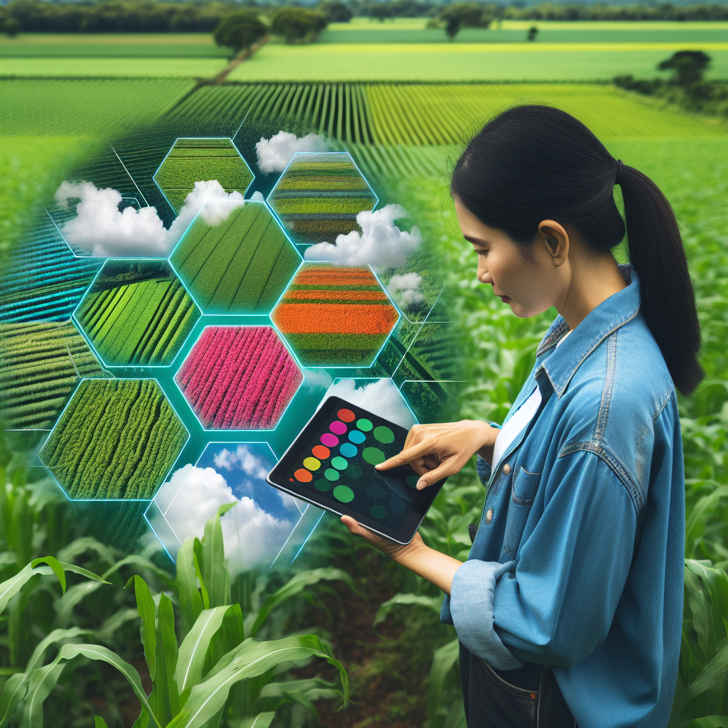
In the dynamic world of agriculture, understanding the intricacies of land classification is crucial for maximizing farm productivity and sustainability. At Farmonaut, we recognize the importance of this knowledge and strive to provide farmers with the tools and insights they need to make informed decisions about their land. In this comprehensive guide, we’ll delve deep into the concepts of land cover classification, farm land classification, and how these classifications impact agricultural practices.
1. Introduction to Land Classification
Land classification is a fundamental concept in agriculture and environmental management. It involves categorizing land based on its physical characteristics, potential uses, and current vegetation cover. This classification serves as a crucial tool for farmers, policymakers, and environmental scientists in making informed decisions about land use, conservation, and agricultural practices.
At Farmonaut, we understand that proper land classification is the foundation of efficient and sustainable farming. By leveraging advanced satellite technology and AI-driven analytics, we help farmers gain a deeper understanding of their land, enabling them to optimize their agricultural practices and boost productivity.
2. What is Land Cover Classification?
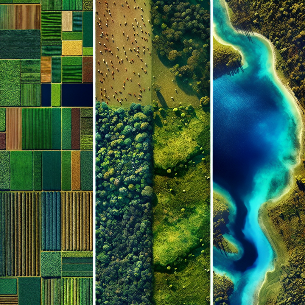
Land cover classification is a specific type of land classification that focuses on the physical material at the surface of the earth. This includes vegetation, water, bare soil, and human-made structures. Understanding land cover is crucial for various applications, including agriculture, forestry, urban planning, and environmental conservation.
Key Components of Land Cover Classification:
- Vegetation types (forests, grasslands, croplands)
- Water bodies (lakes, rivers, oceans)
- Bare surfaces (exposed rocks, sand)
- Artificial surfaces (buildings, roads)
- Snow and ice cover
Land cover classification provides valuable insights into the current state of the land and its potential uses. For farmers, this information is invaluable in determining suitable crops, irrigation needs, and soil management practices.
3. The Importance of Farm Land Classification
Farm land classification is a specialized form of land classification that focuses specifically on agricultural land. It takes into account factors such as soil quality, topography, climate, and water availability to categorize land based on its suitability for various agricultural activities.
Benefits of Farm Land Classification:
- Optimal crop selection based on land characteristics
- Improved resource allocation and management
- Enhanced soil conservation practices
- Better water management and irrigation planning
- Increased overall farm productivity and sustainability
At Farmonaut, we emphasize the importance of accurate farm land classification in our satellite-based crop monitoring services. By providing farmers with detailed insights into their land’s characteristics, we enable them to make data-driven decisions that optimize their agricultural practices.
4. How to Find Land Classification
Determining land classification is a crucial step for farmers and land managers. Here are several methods to find out land classification:
4.1 Government Resources
Many countries have government agencies dedicated to land management and classification. These agencies often provide publicly accessible databases or maps that show land classifications.
4.2 Soil Surveys
Detailed soil surveys can provide valuable information about land classification. These surveys typically include data on soil types, drainage characteristics, and suitability for various agricultural uses.
4.3 Remote Sensing and Satellite Imagery
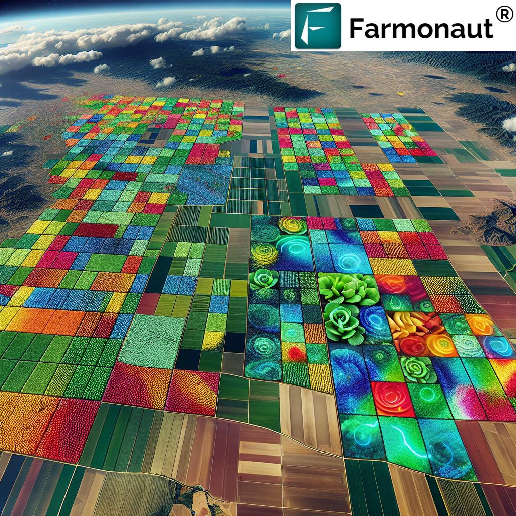
Advanced remote sensing technologies, like those used by Farmonaut, can provide up-to-date and accurate land classification information. Satellite imagery analysis allows for large-scale land cover mapping and classification.
4.4 Local Agricultural Extension Offices
These offices often have detailed information about local land classifications and can provide guidance on interpreting this data for agricultural purposes.
4.5 Professional Land Surveyors
For the most accurate and detailed classification, especially for smaller areas, hiring a professional land surveyor can be beneficial.
4.6 Online GIS Platforms
Many Geographic Information System (GIS) platforms offer land classification data that can be accessed online.
At Farmonaut, we simplify this process by providing our users with easy access to land classification data through our satellite-based monitoring system. Our platform integrates various data sources to offer comprehensive and accurate land classification information, making it easier for farmers to understand and utilize this crucial data.
5. Types of Farm Land Classifications
Farm land classification systems can vary by country and region, but generally, they consider factors such as soil quality, climate, topography, and water availability. Here are some common types of farm land classifications:
5.1 Prime Farmland
This is land that has the best combination of physical and chemical characteristics for producing food, feed, forage, fiber, and oilseed crops. It has the soil quality, growing season, and moisture supply needed to economically produce sustained high yields of crops when treated and managed according to acceptable farming methods.
5.2 Unique Farmland
This is land other than prime farmland that is used for the production of specific high-value food and fiber crops. It has the special combination of soil quality, location, growing season, and moisture supply needed to economically produce sustained high quality and/or high yields of a specific crop when treated and managed according to acceptable farming methods.
5.3 Farmland of Statewide Importance
This is land, in addition to prime and unique farmlands, that is of statewide importance for the production of food, feed, fiber, forage, and oil seed crops. Generally, these lands include those that are nearly prime farmland and that economically produce high yields of crops when treated and managed according to acceptable farming methods.
5.4 Farmland of Local Importance
This is land of importance to the local agricultural economy as determined by each local agency and adopted by its county board of supervisors.
5.5 Grazing Land
This classification is typically used for land on which the existing vegetation is suited to the grazing of livestock.
5.6 Cropland
This includes areas used for the production of adapted crops for harvest, including row crops, small grain crops, hay crops, nursery crops, orchard crops, and other specialty crops.
5.7 Pastureland
This classification is used for land covered with grass or other long-term forage growth that is used for grazing livestock.
At Farmonaut, we help farmers understand these classifications for their specific lands, enabling them to make informed decisions about crop selection, land management practices, and resource allocation. Our satellite-based monitoring system provides detailed insights into land characteristics, supporting precise farm land classification.
6. Advanced Technologies in Land Classification
The field of land classification has been revolutionized by advancements in technology. These modern tools and techniques have greatly enhanced the accuracy, efficiency, and scope of land classification efforts. At Farmonaut, we leverage these cutting-edge technologies to provide our users with the most accurate and up-to-date land classification data.
6.1 Satellite Remote Sensing
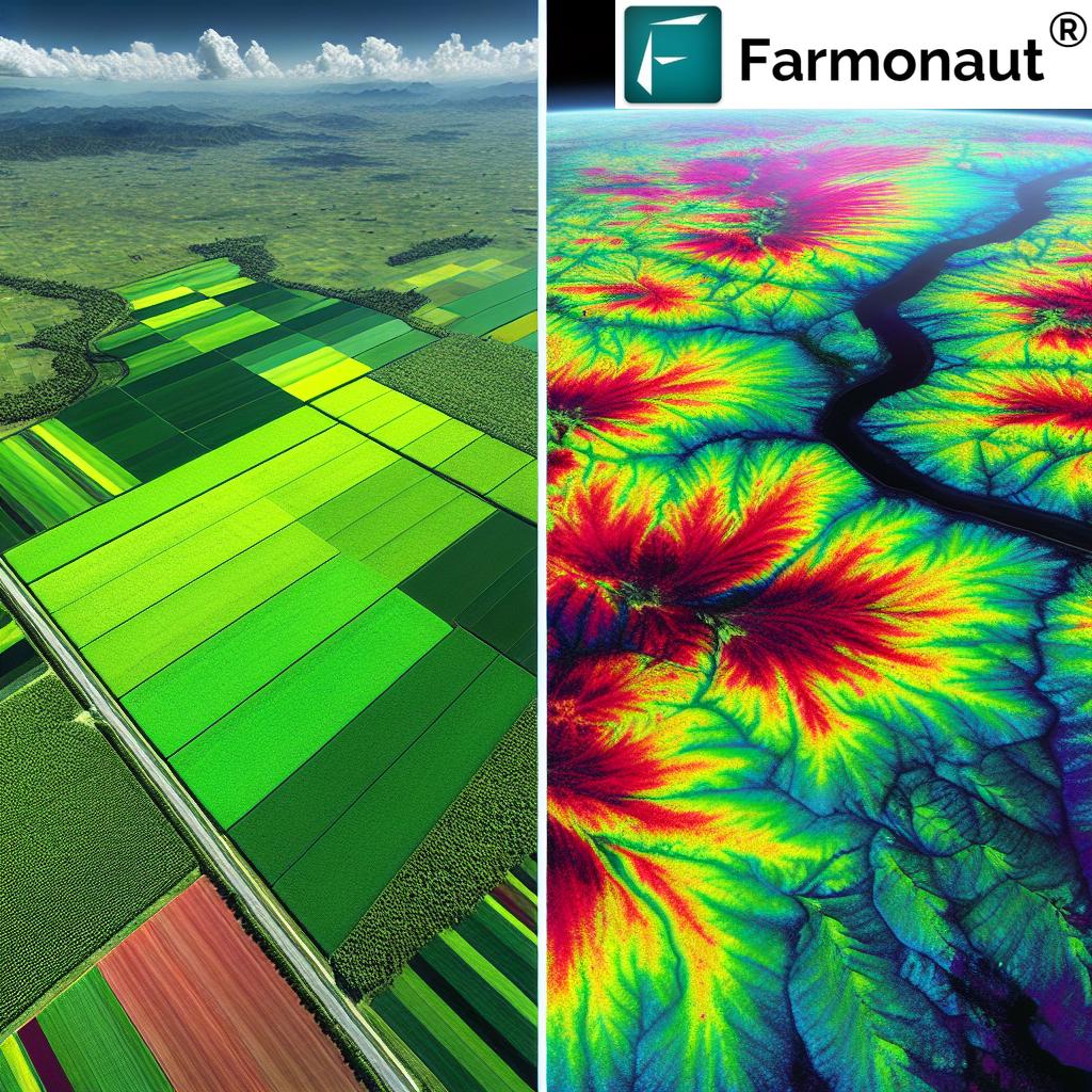
Satellite technology has become a cornerstone of modern land classification efforts. High-resolution satellite imagery allows for large-scale mapping and monitoring of land cover and land use changes. Multispectral and hyperspectral sensors on satellites can detect subtle differences in vegetation, soil types, and other land characteristics that are crucial for accurate classification.
6.2 Geographic Information Systems (GIS)
GIS technology integrates various types of spatial data, allowing for complex analysis and visualization of land classification information. It enables the creation of detailed maps and the ability to overlay different data layers for comprehensive land analysis.
6.3 Machine Learning and Artificial Intelligence
AI and machine learning algorithms have greatly enhanced the ability to process and analyze large amounts of remote sensing data. These technologies can automatically classify land cover types, detect changes over time, and even predict future land use patterns.
6.4 LiDAR Technology
Light Detection and Ranging (LiDAR) technology provides highly accurate 3D representations of land surfaces. This is particularly useful for understanding topography and vegetation structure, which are important factors in land classification.
6.5 Drones and UAVs
Unmanned Aerial Vehicles (UAVs) or drones offer a flexible and cost-effective way to collect high-resolution imagery for smaller areas. They are particularly useful for detailed farm-level land classification and monitoring.
6.6 Internet of Things (IoT) Sensors
IoT sensors deployed in fields can provide real-time data on soil moisture, temperature, and other environmental factors. This data can be integrated with other classification methods for more accurate and dynamic land classification.
6.7 Blockchain for Land Records
While not directly a classification technology, blockchain is being explored for secure and transparent land record keeping, which can support more reliable land classification systems.
At Farmonaut, we primarily focus on satellite-based technologies for land classification and monitoring. Our advanced AI algorithms process satellite imagery to provide accurate, timely, and actionable insights to farmers. Here’s how our satellite system compares to drone and IoT-based farm monitoring:
| Feature | Farmonaut Satellite System | Drone-based Monitoring | IoT-based Monitoring |
|---|---|---|---|
| Coverage Area | Large scale (Global) | Limited (Local) | Limited (Local) |
| Frequency of Data Collection | Regular (Every few days) | On-demand | Continuous |
| Initial Setup Cost | Low | High | Medium to High |
| Operational Complexity | Low | High | Medium |
| Weather Dependency | Low | High | Low |
| Data Processing | Automated (AI-driven) | Manual or Semi-automated | Automated |
| Scalability | Highly Scalable | Limited Scalability | Moderately Scalable |
While each system has its advantages, Farmonaut’s satellite-based approach offers a unique combination of wide coverage, regular updates, and low operational complexity, making it an ideal choice for farmers looking for comprehensive and cost-effective land monitoring solutions.
7. Farmonaut’s Approach to Land Classification
At Farmonaut, we’ve developed a sophisticated approach to land classification that leverages the power of satellite technology and artificial intelligence. Our goal is to provide farmers with accurate, timely, and actionable insights about their land to optimize agricultural practices and boost productivity.
7.1 Satellite-Based Monitoring
We use high-resolution satellite imagery to monitor farmlands on a regular basis. Our satellites capture multispectral images that provide detailed information about vegetation health, soil moisture, and other critical land characteristics.
7.2 AI-Powered Analysis
Our advanced AI algorithms process the satellite imagery to classify land cover types, detect changes over time, and identify potential issues such as pest infestations or nutrient deficiencies. This automated analysis allows us to provide up-to-date land classification information to our users.
7.3 Integration of Multiple Data Sources
In addition to satellite data, we integrate information from various sources, including weather data, soil maps, and historical crop yield data. This comprehensive approach allows for more accurate land classification and better predictive capabilities.
7.4 Customized Insights
We understand that each farm is unique. That’s why our system provides customized insights based on the specific characteristics of each farmer’s land. This tailored approach helps farmers make more informed decisions about crop selection, resource allocation, and land management practices.
7.5 User-Friendly Interface
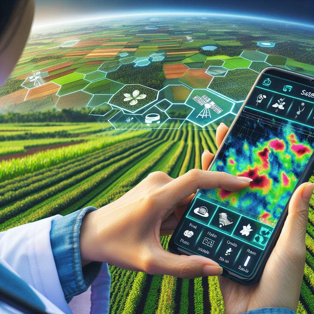
All this complex data is presented to our users through an intuitive, easy-to-use interface. Farmers can access detailed land classification information, vegetation health maps, and other insights through our web platform and mobile app.
7.6 Continuous Monitoring and Updates
Our system continuously monitors farmlands, providing regular updates on land classification and vegetation health. This allows farmers to track changes over time and respond quickly to any emerging issues.
To experience the power of Farmonaut’s land classification and monitoring capabilities, visit our app or explore our API for integration with your existing systems.
8. Benefits of Understanding Land Classification for Farmers
A thorough understanding of land classification can significantly impact a farmer’s success. At Farmonaut, we’ve seen firsthand how this knowledge can transform agricultural practices. Here are some key benefits:
8.1 Optimal Crop Selection
Knowing your land’s classification helps in choosing crops that are best suited to your soil type, climate, and other environmental factors. This can lead to higher yields and better quality produce.
8.2 Efficient Resource Management
Understanding land classification allows for more efficient use of resources like water and fertilizers. For example, knowing soil moisture retention capabilities can help in planning irrigation schedules.
8.3 Sustainable Farming Practices
Land classification information can guide farmers in implementing sustainable farming practices that preserve soil health and reduce environmental impact.
8.4 Risk Mitigation
Awareness of land characteristics can help farmers anticipate and mitigate risks such as erosion, flooding, or drought susceptibility.
8.5 Informed Financial Decisions
Land classification data can inform financial decisions such as land valuation, crop insurance, and loan applications.
8.6 Compliance with Regulations
Understanding land classification helps farmers comply with local and national regulations regarding land use and conservation practices.
8.7 Long-term Planning
With a clear understanding of land classification, farmers can make better long-term plans for crop rotation, land improvements, and farm expansion.
At Farmonaut, we’re committed to helping farmers realize these benefits through our advanced satellite-based monitoring and classification systems. Our tools provide the insights needed to make informed decisions and optimize farm management practices.
9. Challenges in Land Classification
While land classification is a valuable tool in agriculture and land management, it does come with its set of challenges. At Farmonaut, we’re constantly working to address these issues and improve the accuracy and reliability of land classification data.
9.1 Temporal Variability
Land cover can change rapidly due to natural processes or human activities. Keeping classification data up-to-date can be challenging and resource-intensive.
9.2 Classification Accuracy
Achieving high accuracy in land classification, especially over large areas, can be difficult due to the complexity and variability of land cover types.
9.3 Data Resolution
The resolution of available data can impact the accuracy of classification. High-resolution data is often needed for detailed classification but can be expensive to acquire.
9.4 Mixed Pixel Problem
In remote sensing, a single pixel might contain multiple land cover types, making accurate classification challenging.
9.5 Seasonal Variations
Seasonal changes in vegetation can affect land cover classification, requiring multi-temporal data for accurate results.
9.6 Standardization
Different classification systems and methodologies can lead to inconsistencies in land classification across regions or countries.
9.7 Data Integration
Integrating data from various sources (satellite, ground surveys, historical records) can be complex and time-consuming.
At Farmonaut, we tackle these challenges through advanced AI algorithms, regular data updates, and integration of multiple data sources. Our goal is to provide farmers with the most accurate and up-to-date land classification information possible.
10. Future Trends in Land Classification
The field of land classification is rapidly evolving, driven by technological advancements and changing environmental needs. At Farmonaut, we’re always looking ahead to stay at the forefront of these developments. Here are some future trends we anticipate in land classification:
10.1 Increased Use of AI and Machine Learning
AI and machine learning algorithms will continue to improve, enabling more accurate and automated land classification from satellite imagery and other data sources.
10.2 Integration of Big Data
The ability to process and analyze vast amounts of data from various sources will lead to more comprehensive and accurate land classification systems.
10.3 Real-Time Monitoring and Classification
Advancements in satellite technology and data processing will enable near real-time monitoring and classification of land cover changes.
10.4 Higher Resolution Imagery
The availability of higher resolution satellite imagery will allow for more detailed and accurate land classification, especially for small-scale farming operations.
10.5 Integration with IoT and Sensor Networks
Combining satellite-based classification with ground-based sensor networks will provide more comprehensive and accurate land data.
10.6 Climate Change Adaptation
Land classification systems will increasingly incorporate climate change models to help predict and adapt to changing environmental conditions.
10.7 Blockchain for Land Records
Blockchain technology may be used to create more secure and transparent land classification and ownership records.
At Farmonaut, we’re excited about these future developments and are continuously updating our systems to incorporate the latest advancements in land classification technology. Our goal is to provide farmers with the most advanced tools and insights to optimize their agricultural practices.
11. FAQs
Q1: What is the difference between land use and land cover classification?
A1: Land use classification refers to how humans use the land (e.g., agriculture, urban development), while land cover classification describes the physical material at the earth’s surface (e.g., water, vegetation, bare soil).
Q2: How often should land classification be updated?
A2: The frequency of updates depends on the rate of change in the area. In rapidly changing areas, annual updates may be necessary, while in more stable regions, updates every 3-5 years might suffice.
Q3: Can Farmonaut’s satellite system classify land cover in cloudy conditions?
A3: While clouds can obstruct satellite imagery, our system uses multiple images (Radar Data) over time and advanced algorithms to minimize the impact of cloud cover on land classification accuracy.
Q4: How accurate is satellite-based land classification?
A4: With modern high-resolution satellites and advanced AI algorithms, accuracy can exceed 90% for broad land cover classes. However, accuracy can vary depending on the complexity of the landscape and the specific classification system used.
Q5: How can farmers use land classification information to improve their practices?
A5: Farmers can use land classification data to optimize crop selection, improve resource management, implement sustainable practices, and make informed decisions about land use and conservation.
Conclusion
Understanding land classification is crucial for modern, efficient, and sustainable agriculture. At Farmonaut, we’re committed to providing farmers with the most advanced tools and insights for land classification and farm management. Our satellite-based monitoring system offers a comprehensive solution for farmers looking to optimize their agricultural practices.
To experience the benefits of our advanced land classification and monitoring capabilities, visit our web application or download our mobile app for Android or iOS.
For developers interested in integrating our land classification data into their own applications, check out our API documentation.
Join us in revolutionizing agriculture through advanced technology and data-driven insights. Subscribe to Farmonaut today and unlock the full potential of your farmland.


