

Remote sensing · How-to guide
How to Measure Cloud Cover: Oktas, Sensors, Satellites
Cloud cover is the share of sky hidden by cloud, reported in oktas (eighths) or percent. Observers, ceilometers and satellites each measure it differently. Here is when to use each, with a usable-image calculator.
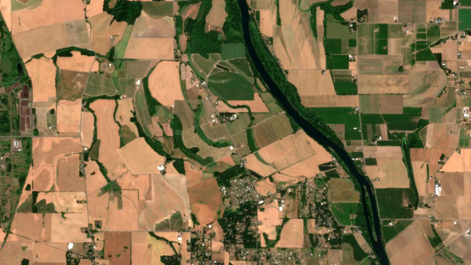
Key takeaways
- Weather stations report cloud in oktas: 0 is no cloud, 8 is full cover, 9 means the sky is hidden by fog (Met Office).
- Satellite scenes report one cloud percentage per scene, which can differ a lot from the sky above one field.
- Globally, Landsat-8 and Sentinel-2 give 141.4 observations a year per land point, but only 81.9 once weighted for cloud (Sensors, 2020; 2018 data).
- At three test points in 2018, Landsat-8 gave 43 clear views of 46 in the Sahara, 9 of 23 in the Amazon and 16 of 44 in southern Sweden.
- Even under dense cloud about 25% of top-of-atmosphere radiation can reach the ground (FAO).
In this article
- What unit is cloud cover measured in
- Five ways to measure cloud cover
- How satellites measure cloud cover
- Why a scene percentage is not the same as sky cover
- How much cloud there is, and what it does to sunlight
- How cloud cuts the number of usable satellite images
- Calculator: how many usable images will you get
- How to check cloud cover for your own field
- Where each method falls short
- FAQ
Cloud cover is the share of the sky hidden by cloud. It is reported in oktas (eighths of the sky, 0 to 8) or as a percentage, and it is measured by eye, by a laser ceilometer on the ground, or by satellite. Which one you need depends on the question. A weather station reports what is overhead. A satellite tells you how much of a field, or of a whole scene, is hidden.
This guide shows how to measure cloud cover with each method, what the units mean, and why it matters for farm monitoring. It also has three charts with sourced numbers and a calculator for the number of usable satellite images you can expect in a season.
What unit is cloud cover measured in
Weather services count the sky in eighths. One eighth is one okta. The Met Office, for example, reports cloud amount in oktas and says it counts 0 oktas as no cloud and 8 oktas as full cover with no breaks. The two end values are special on purpose, so a sky with a small gap is never called overcast.
| Oktas | What it means (Met Office convention) |
|---|---|
| 0 | No cloud at all |
| 1 | One eighth of the sky or less, but not zero |
| 7 | Seven eighths or more, but not complete cover |
| 8 | Full cover with no breaks |
| 9 | Sky hidden by fog or another phenomenon, so no amount can be given |
Satellite scene data use percentages instead. A Landsat or Sentinel-2 scene carries one cloud percentage for the whole image. In Google Earth Engine, the Sentinel-2 catalog stores it as a granule-level cloudy pixel percentage taken from the original metadata. To compare the two units, divide the okta value by 8. Three oktas is about 38% of the sky, but only as a rough guide, because oktas are rounded observations.
In the United States, aviation weather reports use letter codes for the same idea: CLR, FEW, SCT, BKN and OVC. The National Weather Service describes its automated stations as reporting sky condition, cloud height and amount, up to 12,000 feet above ground level. Clouds above that height need a human observer to add them. These stations are primarily located at airports, so a farm may be far from the nearest one.
Five ways to measure cloud cover
1. Visual observation
A trained observer looks at the whole sky and judges how many eighths are covered. The Met Office notes that total cloud amount is only reported from stations where a human observer is present. The Met Office only reports total cloud amount from stations where an observer is present. It describes one place, and it depends on the person.
2. Ceilometers
A ceilometer is a ground instrument that measures cloud base height and, over time, estimates how much cloud passes overhead. It fires short laser pulses upward and reads the backscatter from cloud. The Met Office says modern units can detect up to three cloud layers at the same time. It sees only the sky straight above it. The NWS ASOS guide explains that the ASOS cloud height sensor is a laser ceilometer, and that its algorithm processes the signal over a 30-minute period so the result resembles what an observer would report. The wind carries clouds past the beam, so time stands in for the rest of the sky.
3. Sky cameras
A fisheye camera can photograph the whole sky, and software can then estimate how much of it is cloud.
4. Radiometers
Radiometers record radiation at set wavelengths, and cloud amount can be inferred from the readings, so this is an indirect method.
5. Satellite imagery
Satellites view cloud from above and cover large areas. The Met Office points out that satellite pictures have limits: high cloud can mask low cloud, shallow low cloud can look like fog, and cloud base cannot be measured from space. This is why weather services combine space and ground data.
How satellites measure cloud cover
A satellite does not count oktas. It looks at each pixel and decides if it is cloud. NOAA’s GOES-R weather satellites run a clear sky mask that gives every pixel a class: cloudy, probably cloudy, clear or probably clear. Other products use this mask, such as land surface temperature.
The same idea applies to the satellites that watch fields. Sentinel-2 processing uses its bands to separate cloud from other bright surfaces. ESA’s documentation explains that the B11 band helps tell snow from cloud, because cloud stays bright in the shortwave infrared while snow does not, and the B10 band picks out thin high cirrus. Each pixel is then given a class, and the pixel counts become the scene cloud percentage. Google’s Earth Engine listing shows the resulting scene classification layer, with classes for cloud shadows, vegetation, water and clouds.
For Landsat, USGS scenes also carry a cloud percentage. A peer-reviewed analysis of global image availability notes that Landsat-8 scene percentages come from the CFMask algorithm, which gives a total cloud percentage for each scene.
Why a scene percentage is not the same as sky cover
The two numbers answer different questions. Sky cover from a station describes the dome of sky seen from one point, including cloud far away on the horizon. A scene percentage describes the share of pixels in a rectangle seen from above, usually many kilometres wide. A tile can be 40% cloudy while the sky above one farm is clear. The reverse also happens.
Clouds also look different from above and below. From the ground, a thin high veil may count as several oktas. From space, the same veil may be too thin to flag. ESA’s Sentinel-2 documentation describes cirrus as wispy and often transparent, which is why it needs a separate test on the B10 band.
How much cloud there is, and what it does to sunlight
Clouds cover much of the planet. NASA reports that one study of nearly a decade of satellite data estimated about 67 percent of Earth’s surface is typically covered by clouds, and that over land about 30 percent of skies are completely clear. These are global averages. So one field can see far more or far less cloud than these averages.
Within the United States, daytime cloudiness differs by region. The National Weather Service office at State College, Pennsylvania, looked at a chart of annual mean sky cover during daylight and described the Pacific Northwest and the Gulf of Alaska rim as cloudier than central Pennsylvania, with other maxima along the Appalachians and the Upper Great Lakes. The chart is a forecaster’s reading of a map, not a table of measured values, so use it as a guide to the pattern only.
For crops, cloud mostly matters because it changes the sunlight reaching the leaves. The FAO crop water guidelines state that on a cloudless day the solar radiation at the ground is roughly 75% of the radiation at the top of the atmosphere, and that even under extremely dense cloud about 25% may still arrive as diffuse sky radiation.
The FAO also describes a ratio called relative shortwave radiation, the share of clear-sky radiation that actually arrives. It runs from about 0.33 for dense cloud up to 1 for a clear sky, which gives irrigation planners a way to turn cloudiness into a number they can use in a water budget.
Chart
Sunlight reaching the ground, clear day vs dense cloud
% of radiation at the top of the atmosphere (approximate)
How cloud cuts the number of usable satellite images
Satellite passes are fixed by orbit, but clouds decide which ones are usable. A modelling study published in the journal Sensors in 2020 looked at Landsat-8 and Sentinel-2A and 2B for one year. It found that the global mean number of surface observations was 141.4, but only 81.9 once weighted for cloud. The cloud-weighted number is 58% of the raw number. Both are yearly averages per point on land, from a model of one year of orbits.
Chart
Observations per year: raw vs cloud-weighted
Global mean per land point, daytime surface observations, 2018 data
The effect is much larger in some places. The same study checked three single points against Landsat-8 images from 2018. A point in the Sahara had 46 overpasses and 43 clear views. A point in the Amazon had 23 overpasses and only 9 clear views. A point in southern Sweden had 44 overpasses and 16 clear views. If you farm in a cloudy region, plan around fewer images than the revisit time suggests.
Google lists the harmonized Sentinel-2 surface reflectance collection as having a revisit interval of 5 days, which is the figure used in the calculator below.
Chart
Landsat-8 overpasses and clear views in 2018
Number per year at three single points
Calculator: how many usable images will you get
Use the calculator to turn a season length, a revisit interval and an average cloudiness into a rough count of usable images.
Try the numbers for your own farm below.
Calculator
How many usable satellite images will your season give?
Enter your own season length, revisit interval and typical cloudiness.
- All passes in the season: 24.0
- Average days between usable images: 10.0 days
Example values only, not a forecast. The 5-day interval is the revisit interval Google lists for its harmonized Sentinel-2 collection; use your own satellite’s. Clouds come in spells, so real counts vary more than this simple average.
How to check cloud cover for your own field
- Check the forecast first. A weather service forecast gives sky cover in oktas or in percent for the day. Use it to plan field work, not to judge a satellite image.
- Read the scene percentage. Every Landsat or Sentinel-2 scene lists a cloud percentage. Treat it as a screen only, because it describes the whole tile, which is far larger than one farm.
- Look at your own polygon. A scene can show 60% cloud and still be clear over your field. Check the pixels inside your boundary.
- Check for shadows and thin cirrus. Cloud shadows and thin, wispy cirrus can pass a simple percentage filter and still spoil the image. ESA’s scene classification has separate classes for cloud shadows and cirrus.
- Use the previous clear date. When your field is hidden, compare the next clear image with the last one rather than guessing what happened in between.
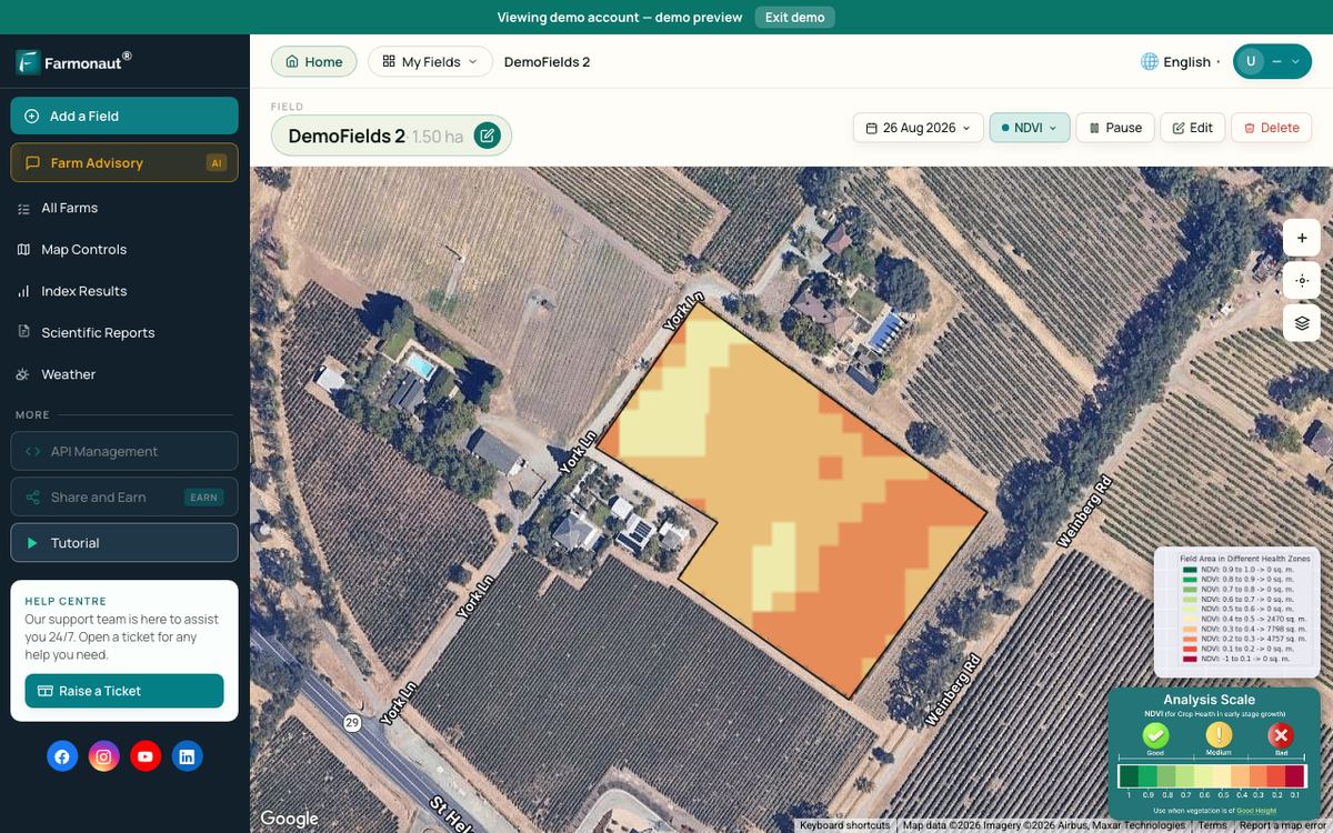
Farmonaut’s Satellite + AI Farm Monitoring System shows satellite maps for the boundaries you draw, with the date of each image, so you can see how old a picture is.
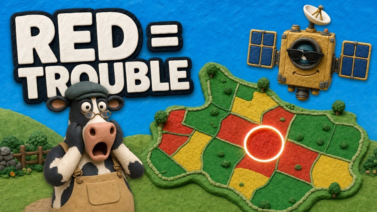
▶ How satellite NDVI maps show crop stress across a large farm once you have a clear image. · 4:09
Where each method falls short
- Human observers see the whole sky but only at staffed sites, and judgement varies between people.
- Ceilometers read a narrow column of sky. The ASOS guide notes clouds above 12,000 feet need an observer to add them.
- Satellites can confuse snow, bright ground and thin cirrus with cloud. ESA’s documentation also says that above roughly 3,000 m of elevation, cirrus and mountaintops cannot be told apart by the B10 band alone.
- Percentages from a tile say little about a small field inside it.
Optical satellites cannot see through cloud at all. Radar satellites send their own signal and keep working on cloudy days, as this short video explains.
▶ Why cloudy days blind camera satellites, and how radar satellite imagery works around it. · 2:37
FAQ
How is cloud cover measured?
By eye (an observer estimating eighths of the sky), by a ceilometer pointing at the sky, by sky cameras and radiometers, and by satellites that classify each pixel as cloud or clear. Weather stations report oktas; satellite scenes report a percentage.
What is the unit of cloud cover?
Oktas (eighths of the sky, from 0 to 8) for weather observations, and percent for satellite scenes. The Met Office adds 9 for a sky hidden by fog.
What instrument measures cloud cover?
The ceilometer measures cloud base height and, over time, the amount of cloud overhead. The Met Office describes a laser cloud base recorder that can see up to three layers. Total sky cover still comes from an observer or from satellite or camera images.
How can I check cloud cover for my location?
Use the sky condition in your national weather service forecast for the sky above you, and the scene cloud percentage in a satellite catalog for what a satellite will see. Look at the pixels over your own field before you rely on an image.
How does cloud cover affect agriculture?
It lowers the sunlight reaching crops, and the FAO uses cloudiness in its crop water-use method. The FAO notes that dense cloud can leave only about a quarter of the radiation at the top of the atmosphere reaching the ground, against about three quarters on a cloudless day. It also hides fields from optical satellites, which reduces the number of usable images.
Related pages on our site: why crop protection matters, agriculture monitoring systems, web applications for agriculture, satellite and weather API documentation and agricultural cooperation (in Russian).
Farmonaut crop monitoring
See your own fields from space
Draw your field boundary once and Farmonaut shows dated satellite maps of it on web, Android or iOS.



Keep reading
Sources
- Met Office, How we measure cloud: weather.metoffice.gov.uk
- NASA, Cloudy Earth: nasa.gov
- FAO, Irrigation and Drainage Paper 56, Chapter 3 Meteorological data: fao.org
- Sensors (MDPI, 2020), Global Revisit Interval Analysis of Landsat-8, -9 and Sentinel-2A, -2B Data, via PubMed Central: ncbi.nlm.nih.gov
- Google Earth Engine, Sentinel-2 MSI Level-2A harmonized dataset: developers.google.com
- NOAA National Weather Service, ASOS User’s Guide (1998): weather.gov
- NOAA National Weather Service State College, How cloudy is Central PA: weather.gov
- NOAA NESDIS, GOES-R Baseline Clear Sky Mask: goes-r.gov
- ESA SentiWiki, Sentinel-2 processing: sentiwiki.copernicus.eu
- NOAA National Weather Service, Automated Surface Observing System: weather.gov
Discussion
Questions, corrections or field experience? Share them below. First-time comments are reviewed before they appear, and your email is never published.
No comments yet. Be the first to add a question or your experience.

 Deepak Fertilisers & Petrochemicals
 Sapoznick Farms
 Agrotoken
 Blue BearX
 Insignito
 Croptimum
 DnCubed
 Field Capacity
 Indosistim Teknologi
 Liquify Digital
 CU Foods
 BeyondTech Global
 Rouge VC
 AgroGreen Dynamics
 AgroRisk
 Oath Inc
 Reddane Farming
 Esri North East Africa

 Licence holder · Niger · Gold










