Revolutionizing Farm Management: Farmonaut’s Groundbreaking WhatsApp-Based Satellite Farm Mapping
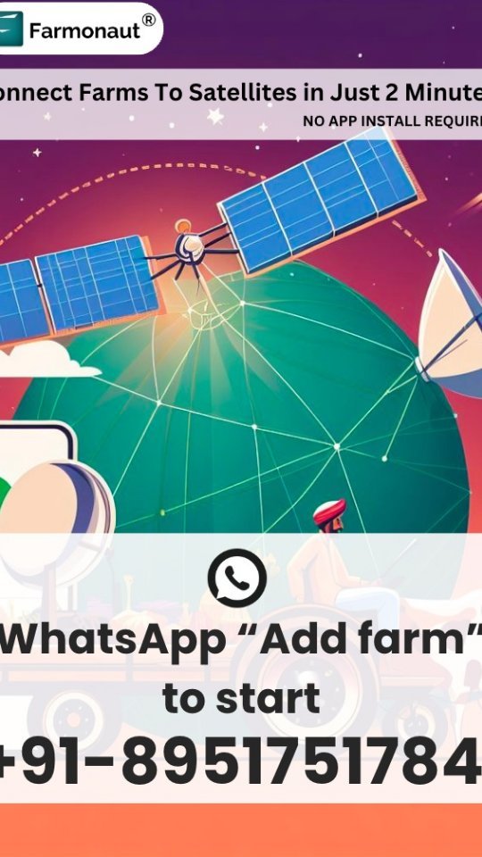
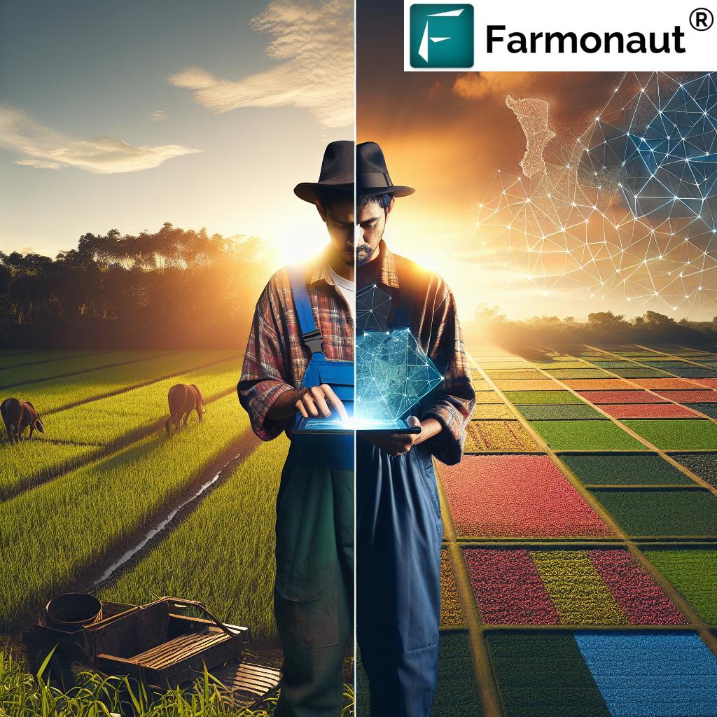
Welcome to the future of farming! At Farmonaut, we’re thrilled to announce a game-changing innovation that’s set to transform the way farmers manage their land. Our new system allows farmers to map their farms using WhatsApp in just 2 minutes, connecting their fields to satellites and providing invaluable farm intelligence reports within moments. This breakthrough technology is not only fast and efficient but also incredibly user-friendly, supporting multiple languages and requiring no app installation.
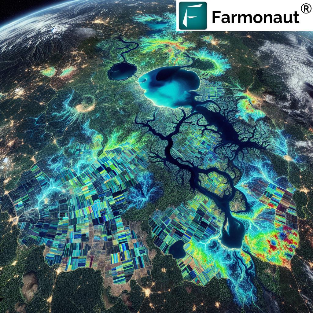
The Power of Satellite Farm Mapping
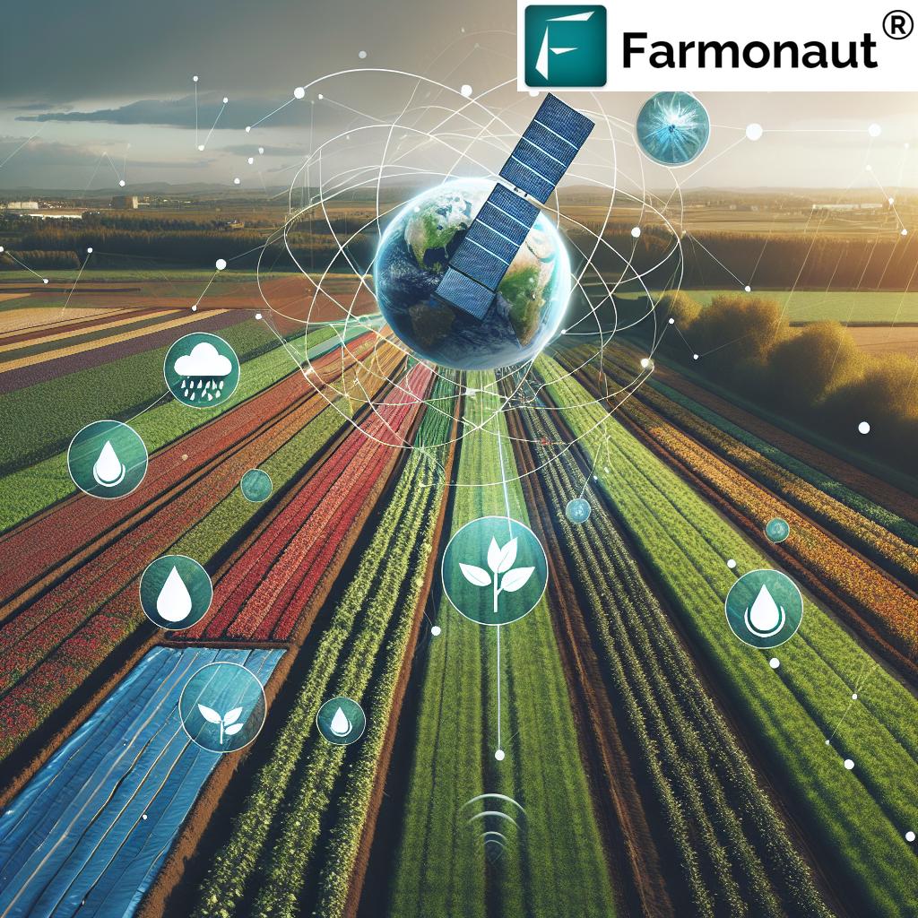
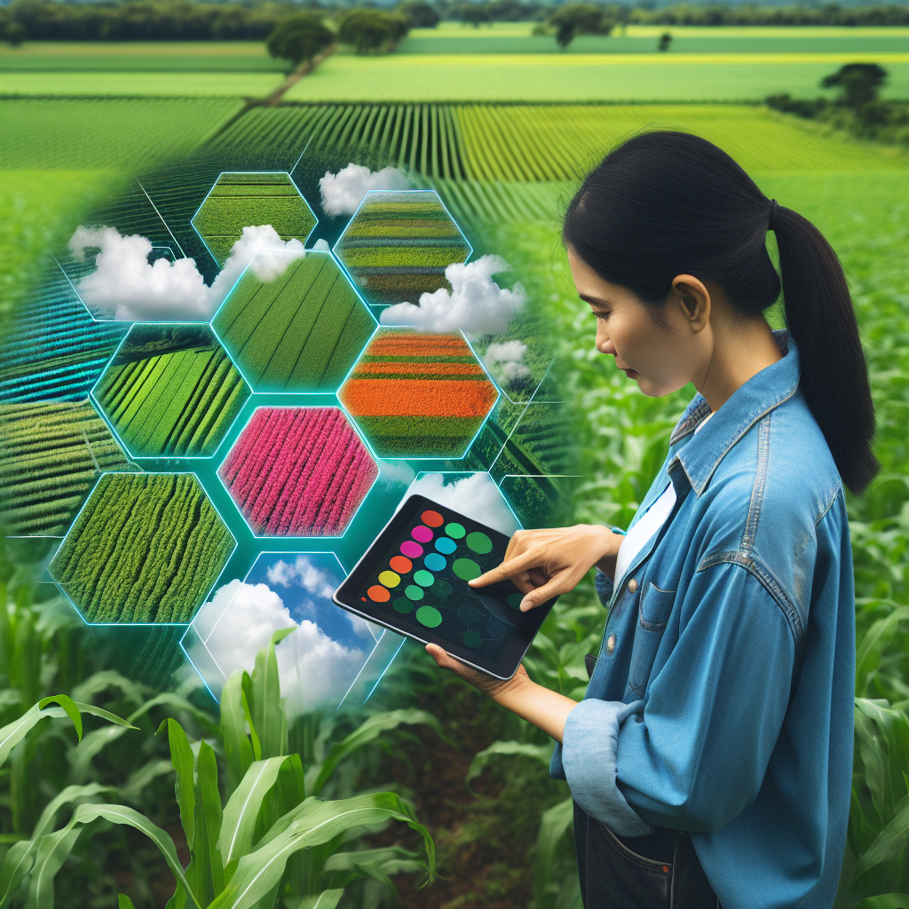
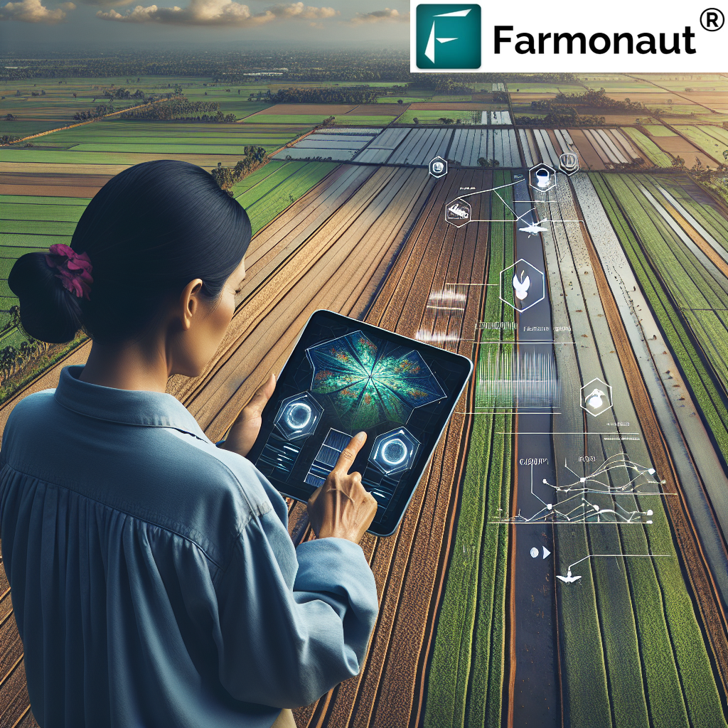
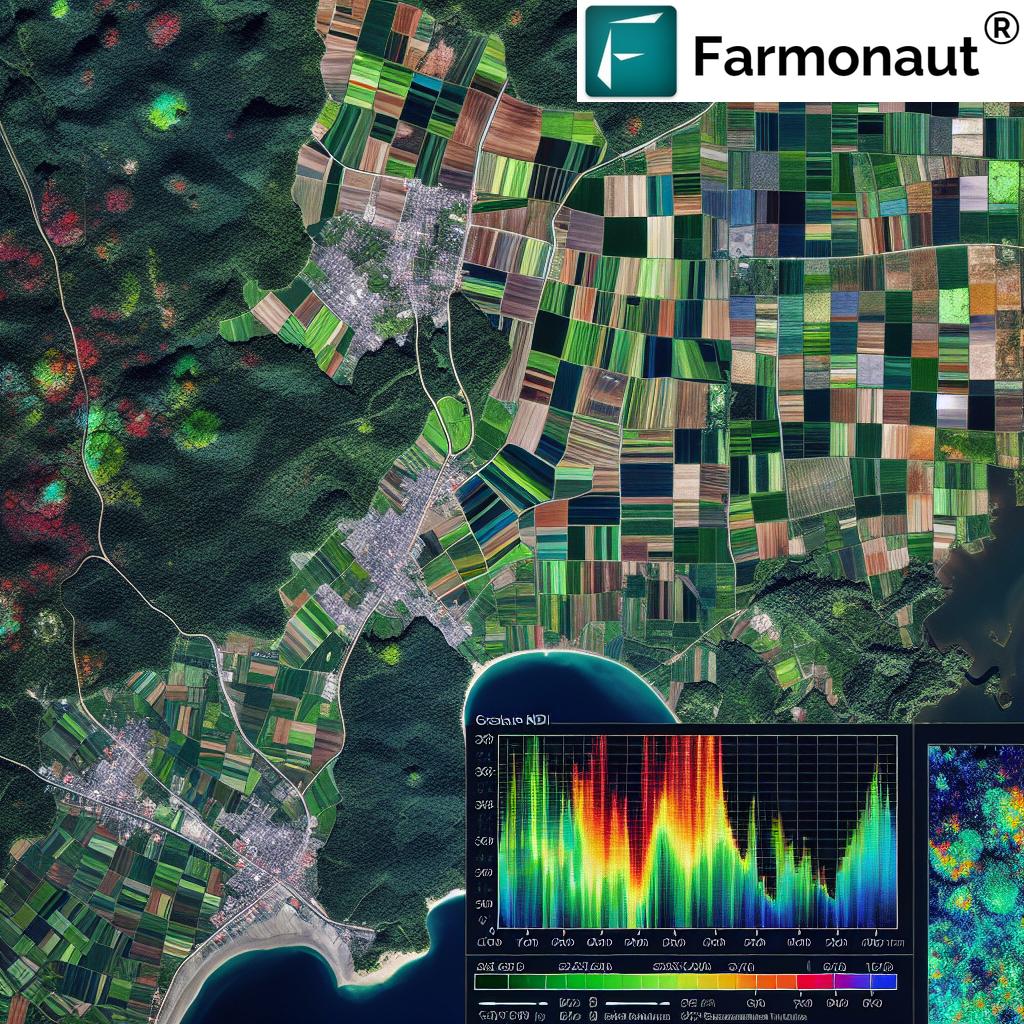
Satellite farm mapping has emerged as a powerful tool in modern agriculture, offering farmers unprecedented insights into their land and crops. At Farmonaut, we’ve harnessed this technology to create a farm satellite imagery system that’s accessible to all, regardless of technical expertise or farm size.
Benefits of Satellite Farm Mapping:
- Real-time crop health monitoring
- Precise resource management
- Early detection of pest and disease issues
- Optimization of irrigation and fertilizer use
- Improved yield forecasting
Our satellite farm technology goes beyond just providing pretty pictures from space. It’s a comprehensive farm crop management system that empowers farmers with actionable insights to make informed decisions about their crops and land use.
Farmonaut’s WhatsApp Farm Mapping: A 2-Minute Revolution
We’re excited to introduce our latest innovation: a WhatsApp-based farm mapping system that takes just 2 minutes to set up. This groundbreaking feature embodies our commitment to making advanced agricultural technology accessible to all farmers, regardless of their technical expertise or resources.
How It Works:
- Send a WhatsApp message saying “Add Farm” to +91-8951751784
- Drop a pin inside your farm when prompted
- Our AI/ML system automatically identifies your farm’s boundaries
- Receive your first farm intelligence report within 1 minute
This innovative approach to WhatsApp farming is changing the game for farmers worldwide. It’s a testament to our belief that advanced agricultural technology should be as easy to use as sending a text message.
The Technology Behind Farmonaut’s Farm Mapping
At the heart of our WhatsApp farm mapping system lies a sophisticated blend of artificial intelligence and machine learning algorithms. This technology allows us to accurately identify farm boundaries and generate detailed reports based on satellite imagery.
Key Features of Our AI/ML System:
- Automatic boundary detection
- Multi-language support
- Integration with satellite data
- Rapid processing and report generation
- Continuous learning and improvement
By leveraging these advanced technologies, we’re able to provide farmers with a level of insight and precision that was previously unattainable without significant investment in hardware and expertise.
Transforming Farm Management Practices
Our WhatsApp-based satellite farm mapping system is more than just a cool tech demo—it’s a practical tool that’s already transforming farm management practices for our users. Here’s how farmers are benefiting from this innovation:
1. Time-Saving
Traditional farm mapping methods can take hours or even days. With our system, farmers can map their entire farm in just 2 minutes, freeing up valuable time for other important tasks.
2. Cost-Effective
By eliminating the need for expensive hardware or specialized software, we’ve made advanced farm management accessible to farmers of all scales.
3. User-Friendly
Our system uses WhatsApp, a platform most farmers are already familiar with. This eliminates the learning curve associated with new technology adoption.
4. Multi-Language Support
We understand that agriculture is a global industry. That’s why our system supports multiple languages, making it accessible to farmers worldwide.
5. No App Required
Unlike many other farm management solutions, our system doesn’t require any app installation. This means it works on even the most basic smartphones, ensuring no farmer is left behind.
Real-World Applications
Our satellite farm mapping system has wide-ranging applications across various agricultural sectors. Here are just a few examples of how farmers are using this technology:
Crop Monitoring
Farmers can track crop health and growth patterns over time, allowing for early detection of issues and optimization of crop management practices.
Resource Allocation
By providing detailed insights into field conditions, our system helps farmers make informed decisions about irrigation, fertilization, and other resource allocation.
Yield Forecasting
The ability to accurately map and monitor crops allows for more precise yield forecasting, helping farmers plan their harvests and market strategies more effectively.
Sorghum Farming
For those engaged in sorghum farming, our system offers specific insights tailored to this crop’s unique characteristics and needs. From optimizing planting patterns to monitoring drought stress, our technology is helping sorghum farmers maximize their yields and efficiency.
Farmonaut’s Comprehensive Agricultural Solutions
While our WhatsApp-based farm mapping is a game-changer, it’s just one part of Farmonaut’s comprehensive suite of agricultural solutions. Let’s explore some of our other offerings that complement this innovative mapping system:
1. Jeevn AI Advisory System
Our AI-driven personalized farm advisory tool delivers real-time insights, weather forecasts, and expert crop management strategies. By analyzing satellite data and other inputs, Jeevn AI generates customized advice to improve farm productivity and efficiency.
2. Blockchain-Based Product Traceability
We’ve integrated blockchain technology to enable traceability solutions for various industries, particularly agriculture. This ensures transparency and security at every stage of the product’s journey from farm to consumer, enhancing trust and reducing fraud in supply chains.
3. Fleet and Resource Management
Our tools for fleet management enable agribusinesses to manage their logistics more efficiently, reducing operational costs by optimizing vehicle usage, ensuring safety, and improving overall management of agricultural machinery.
4. Carbon Footprinting
To help agribusinesses monitor and reduce their environmental impact, we offer carbon footprint tracking. This feature provides real-time data on emissions, allowing businesses to take steps towards sustainability and compliance with environmental regulations.
Comparing Farmonaut’s Satellite System to Other Farm Monitoring Methods
While drone and IoT-based farm monitoring systems have their merits, Farmonaut’s satellite-based approach offers unique advantages. Here’s a comparison:
| Feature | Farmonaut Satellite System | Drone-based Monitoring | IoT-based Monitoring |
|---|---|---|---|
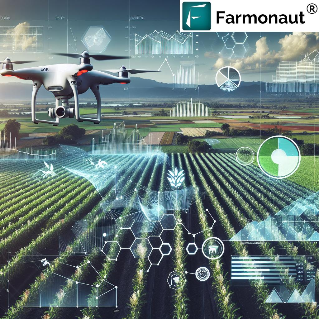
| Coverage Area | Entire farm in one go | Limited by flight time and regulations | Limited by sensor placement |
| Frequency of Data | Regular updates based on satellite passes | Depends on manual flight missions | Continuous but localized |
| Initial Investment | Low (No hardware required) | High (Drone purchase and training) | Medium to High (Sensors and network setup) |
| Ease of Use | Very High (WhatsApp integration) | Requires technical skills | Moderate (Setup and maintenance needed) |
| Weather Independence | High (Can penetrate clouds) | Low (Affected by wind and rain) | Moderate (Some sensors affected by weather) |
| Scalability | Highly scalable to any farm size | Limited by drone capabilities | Requires additional sensors for larger areas |
Getting Started with Farmonaut
Ready to revolutionize your farming practices? Getting started with Farmonaut is easy:
- Send a WhatsApp message saying “Add Farm” to +91-8951751784
- Follow the simple instructions to map your farm
- Start receiving valuable insights within minutes
For those who prefer a more traditional approach, you can also access our services through our web and mobile applications:
Developer Resources
For developers and businesses looking to integrate Farmonaut’s satellite and weather data into their own systems, we offer comprehensive API access. Our Satellite API and Weather API documentation provide all the information needed to leverage our powerful data in your applications.
Subscription Options
To make our services accessible to farmers and businesses of all sizes, we offer flexible subscription options. Choose the plan that best fits your needs:
Frequently Asked Questions (FAQ)
Q: How accurate is the farm mapping through WhatsApp?
A: Our AI/ML system is highly accurate in identifying farm boundaries. However, farmers can always make manual adjustments if needed for perfect precision.
Q: Is my farm data secure?
A: Absolutely. We take data security very seriously and employ industry-standard encryption and security measures to protect all farmer data.
Q: How often are satellite images updated?
A: The frequency of updates depends on satellite passes and your subscription level, but most farms receive updates every few days.
Q: Can I use this system for multiple farms?
A: Yes, you can map and monitor multiple farms using our system. Each farm can be managed separately within your account.
Q: Is this system suitable for small farms?
A: Absolutely! Our system is designed to be accessible and useful for farms of all sizes, from small family plots to large commercial operations.
Q: What types of crops can be monitored?
A: Our system can monitor a wide variety of crops, including but not limited to grains, fruits, vegetables, and cash crops like cotton and sorghum.
Q: Is internet connectivity required at the farm?
A: While you need internet connectivity to send the initial WhatsApp message and receive reports, the farm itself doesn’t need to have internet access for the system to work.
Q: How does this compare to traditional farm management methods?
A: Our satellite-based system offers more comprehensive, real-time data than traditional methods, allowing for more informed decision-making and efficient resource management.
Q: Can I integrate this with my existing farm management software?
A: Yes, we offer API access that allows integration with many existing farm management systems. Contact our support team for more information on integration options.
Q: Is training required to use this system?
A: No extensive training is required. If you can use WhatsApp, you can use our system. We also provide easy-to-follow guides and customer support if you need any assistance.
Conclusion: Embracing the Future of Farming
As we stand on the brink of a new era in agriculture, Farmonaut is proud to be at the forefront, driving innovation and accessibility in farm management technology. Our WhatsApp-based satellite farm mapping system is just the beginning of what we believe will be a transformative journey for farmers worldwide.
By combining cutting-edge satellite technology with the simplicity of WhatsApp, we’re not just providing a tool—we’re empowering farmers with knowledge, insights, and the ability to make data-driven decisions that can significantly impact their productivity and profitability.
We invite farmers, agribusinesses, researchers, and agricultural stakeholders to join us in this revolution. Experience the power of satellite farm mapping, real-time crop monitoring, and AI-driven insights—all at your fingertips.
Together, let’s cultivate a future where technology and tradition work hand in hand, where every farmer has access to the tools they need to thrive, and where sustainable, efficient agriculture becomes the norm rather than the exception.
Join us at Farmonaut, and let’s grow the future of farming, one WhatsApp message at a time.
Ready to revolutionize your farming practices? Send “Add Farm” to +91-8951751784 on WhatsApp today and take the first step towards a smarter, more efficient future in agriculture!


