Moisture Mapping Services Company: Boost Yields Fast
“Moisture mapping can increase crop yields by up to 20% through precise water management.”
Introduction: The Power of Moisture Mapping in Modern Agriculture
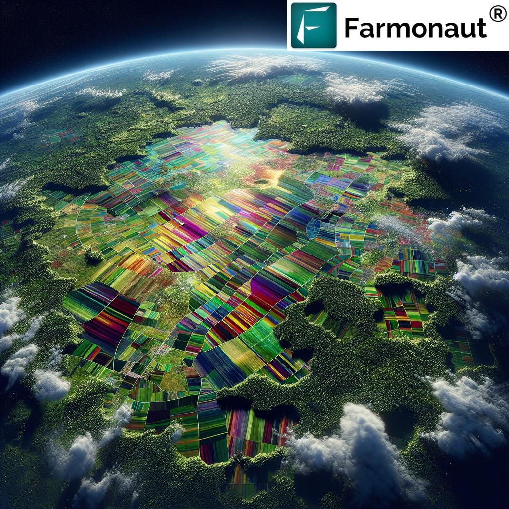
Moisture mapping services company solutions are redefining success in agriculture, farming, and forestry. As climate variability and resource scarcity challenge food and fiber security, monitoring and analyzing soil moisture has become indispensable. Advanced technologies like remote sensing for agriculture, soil health analysis, and optimized irrigation solutions converge to aid stakeholders in effective water management, maximizing crop yields, and promoting sustainable land productivity.
Moisture mapping is more than technology—it’s a catalyst for data-driven agricultural water management and forest health monitoring. This guide explores the value, process, and potential of moisture mapping services and how innovators like Farmonaut empower stakeholders worldwide. Let’s unlock the power of precision agriculture technologies to address today’s environmental challenges and tomorrow’s food security.


Understanding Moisture Mapping Services
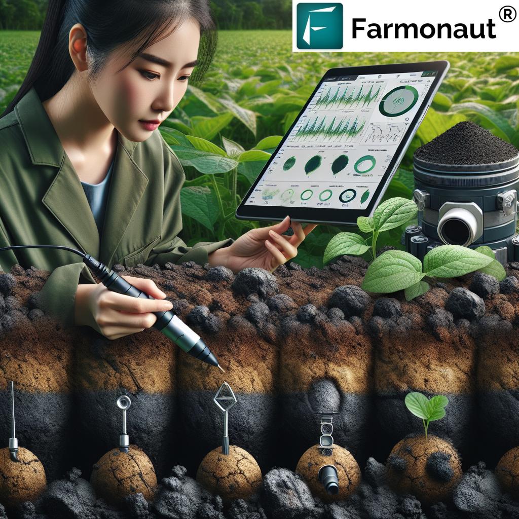
Moisture mapping services refer to the systematic measurement and visualization of soil moisture distribution across a defined area. In agriculture and forestry, assessing soil moisture variations is crucial. It guides irrigation planning, signals drought stress, and enables deployment of targeted interventions or risk mitigation strategies. This granular insight unlocks natural productivity by making resource use more strategic and sustainable.
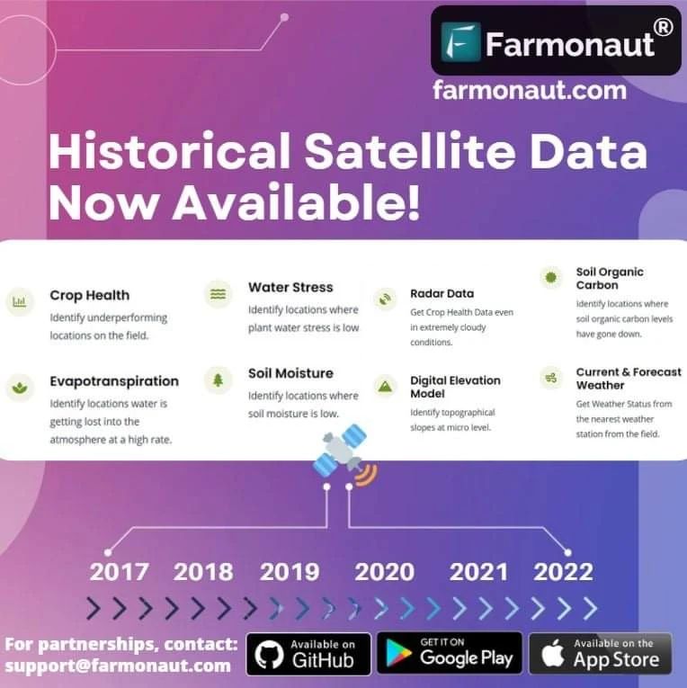
- Measurement: Modern systems monitor soil moisture with sensors, satellite imagery, and remote-sensing equipment.
- Visualization: Using geospatial platforms, detailed moisture maps are created, highlighting spatial patterns and anomalies.
- Accessibility: Cloud-based and mobile solutions allow instant access to real-time data and recommendations anywhere, anytime.
By integrating environmental data with other variables—crop type, weather, terrain—these services facilitate holistic, data-driven land management interventions.

Technologies Employed in Moisture Mapping
The modern moisture mapping services company landscape is powered by an innovative blend of advanced technologies. These technologies go far beyond basic field observations or static manual soil sampling, enabling a robust, scalable approach to soil moisture monitoring and precision agriculture technologies.
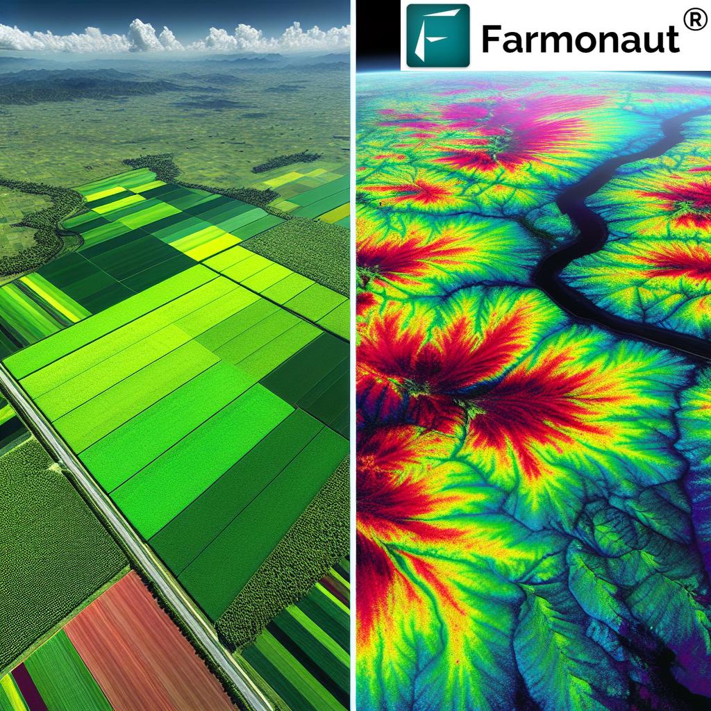
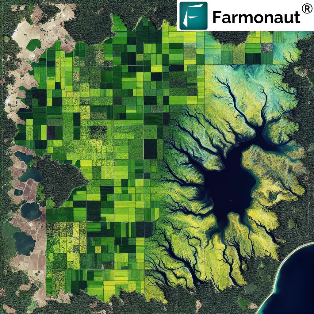
1. Remote Sensing for Agriculture
Satellites and drones equipped with multispectral and thermal sensors capture data across large farms and forests in a single pass. Modern remote sensing offers:
- Coverage of 100+ hectares per satellite pass (see trivia below)
- Non-intrusive, real-time moisture assessment on both cropland and forests
- Timely detection of moisture stress, waterlogging, or drought-prone areas
- Integration with soil health analysis and crop monitoring platforms
2. Ground-Based Sensors
Technologies such as Time-Domain Reflectometers (TDRs), capacitance probes, and similar field-deployed instruments feed back fine-grained, location-specific data on actual soil moisture levels.
- Continuous, automated recording of soil moisture, temperature, and salinity
- IoT-enabled for data streaming and enhanced early warning capabilities
- Provide localized insights for optimized irrigation solutions
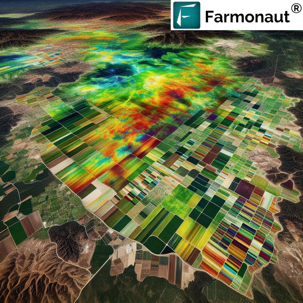
3. Geospatial Analysis in Farming
Advanced Geographic Information Systems (GIS) enable the fusion of moisture data with other environmental variables:
- Creation of detailed moisture distribution maps
- Analysis of spatial patterns, correlations, and trends
- Support for precision agriculture and forestry management decisions
“Advanced remote sensing analyzes soil moisture across 100+ hectares in a single satellite pass.”
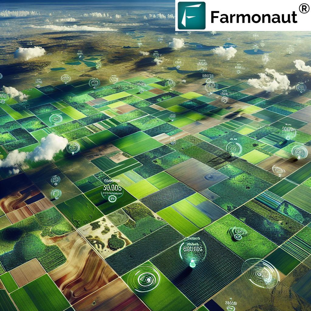
Agricultural Applications & Optimized Irrigation Solutions
In agriculture, moisture mapping services are transforming resource management and yield optimization. Here’s how these services empower modern farming:
Optimized Irrigation Solutions
- Identifying dry or over-irrigated areas: Enables precise water application, preventing both drought stress and waterlogging.
- Fine-tuning irrigation scheduling: Remote soil moisture monitoring enables dynamic irrigation tailored to real-time needs.
- Reducing water usage: Data proves up to 25% higher water usage efficiency with advanced moisture mapping compared to tradition (see table below).
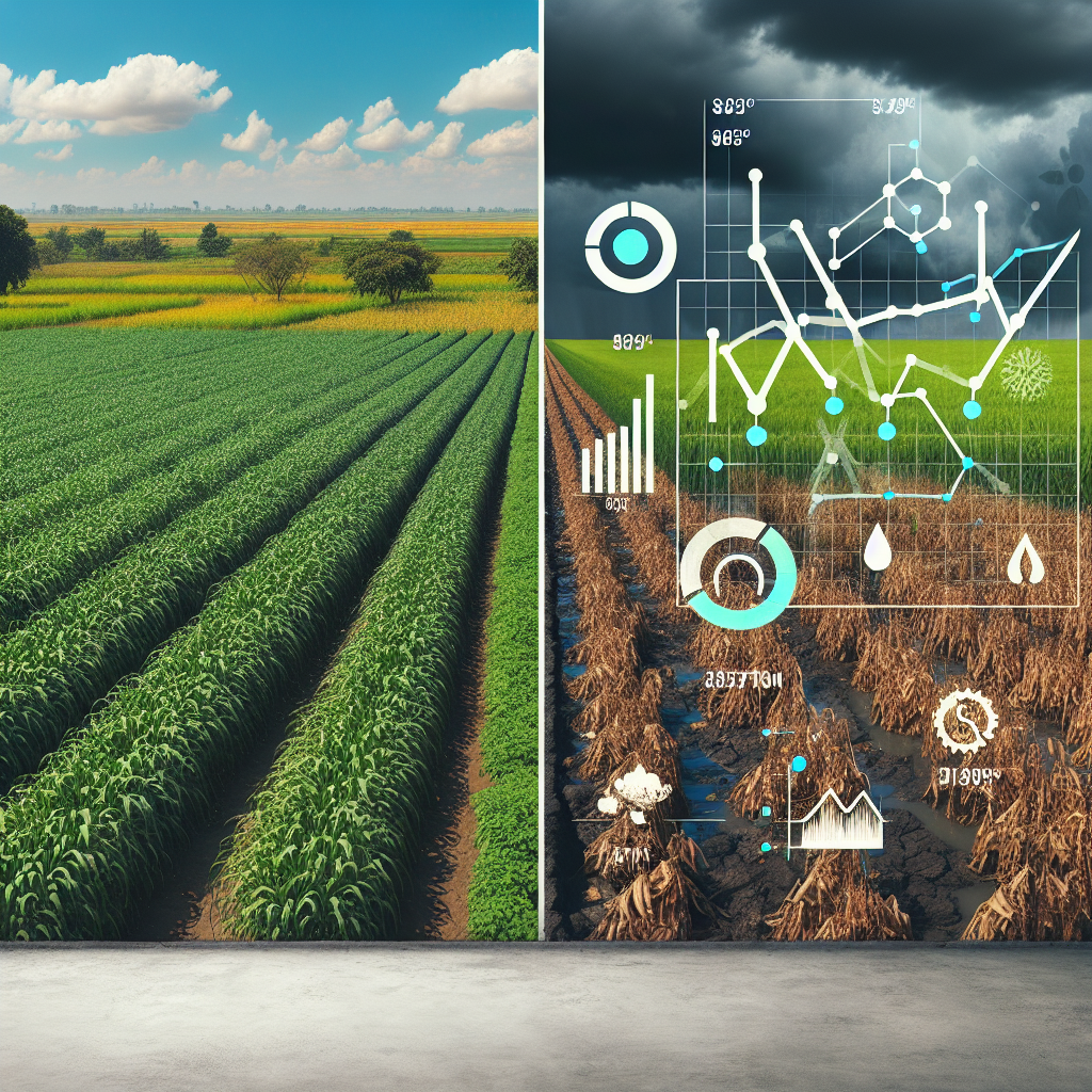
Drought Management Strategies
- Early warning systems for drought-prone zones, enabling timely deployment of drought-resistant crops
- Adoption of moisture retention practices where variability is critical
- Stress detection at an actionable stage—mitigating yield loss before it can occur
Yield Prediction & Soil Health Monitoring
- Using historical and current moisture data to model and predict potential yields
- Soil health analysis: Consistent moisture supports active microbial populations and sustainable nutrient cycling
- Supporting precision application of fertilizers, maximizing both economics and environmental sustainability
-
Want a complete solution for large-scale farm management? Explore our platform for integrating detailed crop health and moisture data into a single, actionable dashboard at
Farmonaut Agro Admin App
Forestry: Fire Risk, Health, and Habitat Using Moisture Mapping Services
Moisture mapping is equally revolutionary for forestry management. Forest environments are complex, and moisture availability regulates everything from plant growth to fire vulnerability and biodiversity.
Fire Risk Assessment & Management
- Quantify soil and vegetation moisture to evaluate fire risk
- Target interventions like controlled burns or buffer planting in vulnerable areas
- Early action to reduce economic and ecological loss
Forest Health Monitoring
- Identify pests or disease outbreaks—many pathogens exploit specific moisture conditions
- Reveal spatial patterns in forest health linked to recent rainfall trends, soil type, and microclimate
- Make environmental management decisions based on real-time, area-wide datasets
-
Learn how our crop, plantation, and forest advisory solutions optimize monitoring at scale:
Farmonaut Plantation & Forestry Advisory
Habitat Management and Biodiversity Conservation
- Maintain healthy habitat mosaics for wildlife conservation
- Support forest restoration in degraded or moisture-deficient areas
- Plan buffer zones and ecological corridors using accurate and up-to-date data
Key Benefits of Moisture Mapping Services
Moisture mapping services yield clear, measureable advantages—both for direct profitability and long-term sustainability in farming and forestry:
- Resource Efficiency: Drastically reduce water consumption and minimize energy costs with targeted management.
- Enhanced Productivity and Yields: Create optimal moisture conditions for healthy plant growth, resulting in higher yields and better quality produce.
- Risk Mitigation: Empower stakeholders for early identification (and timely response) to drought stress, waterlogging, or pest/disease outbreaks.
- Data-Driven Decision Making: Switch from estimation to actionable, accurate data for every operational decision.
- Environmental Sustainability: Maintain soil health, reduce leaching, and promote sustainable resource use.
- Compliance: Easily meet regulatory requirements and access financing via traceable resource management systems.
See our Carbon Footprinting and Blockchain-Based Traceability tools for robust, transparent sustainability reporting. - Financing Access: Satellite data
enables secure, fast loan or insurance approvals for farmers and agribusinesses. Discover more at our Crop Loan and Insurance Solutions - Scalability: From smallholder farms to industrial plantations and forestry programs, services are easily tailored to your area, frequency, and data granularity needs.
Comparative Feature-Impact Table: Traditional Methods vs. Farmonaut Moisture Mapping Services
| Technology / Method | Water Usage Efficiency (%) | Estimated Yield Increase (%) | Soil Health Improvement (Score/10) | Data Collection Frequency (times/season) |
|---|---|---|---|---|
| Traditional Methods (Flood Irrigation) | 50-60% | 0% | 5 | 1-2 |
| Manual Soil Sampling | 65-70% | 5-7% | 6 | 2-4 |
| Farmonaut’s Moisture Mapping Service | 85-90% +25% vs. Manual |
15-20% | 9 | 12+ |
Note: Values based on industry benchmarks. Farmonaut’s services combine remote sensing, AI, and advanced geospatial analysis in farming for optimal results.
Challenges and Future Outlook of Moisture Mapping Services
While moisture mapping services present enormous benefits, several challenges influence their adoption and impact:
Key Challenges
- Data Interpretation: Discerning natural moisture variability from actionable issues requires sophisticated analysis and agronomic expertise.
- Upfront Technology Costs: Initial investment in sensors, satellites, and cloud platforms can limit access, especially for smaller operations.
- Data Integration: Harmonizing moisture data with other variables for strategic decisions demands robust, scalable platforms.
- Sensor Maintenance & Calibration: Reliable, accurate readings require periodic inspection and upkeep.
- For seamless access to robust real-time data without costly hardware, check our Farmonaut API and Farmonaut API Developer Docs.
The Future of Moisture Mapping: IoT, AI, and Global Collaboration
The field is advancing rapidly—here’s what lies ahead:
- Integration with IoT: Wireless sensors and field devices stream real-time soil and crop data, enabling immediate, smart interventions.
- AI for Decision Support: Sophisticated machine learning models predict moisture trends, optimize irrigation automatically, and generate actionable management recommendations.
- Global Data Sharing: As more regions participate, aggregated moisture and climate datasets improve both local adaptation and global environmental strategies.
-
Blockchain Integration: Secure, tamper-proof tracking of crop and environmental data supports sustainable food supply and product traceability.
See our breakthrough blockchain-based solutions: Farmonaut Traceability - Reducing Environmental Footprint: Using robust monitoring to meet compliance for carbon and resource sustainability.
Farmonaut: Affordable Moisture Mapping & Precision Agriculture
As a pioneering agricultural technology provider, we at Farmonaut are making data-driven land management accessible to every farm, forest, and agricultural business. Our cloud-based platform delivers satellite-driven soil moisture monitoring, AI advisory systems, and actionable resource management tools that:
- Enable real-time crop and soil health monitoring via android, iOS, web/browser app, and API
- Deliver optimized irrigation solutions based on up-to-date moisture maps
- Offer AI-based personalized farm advisories with weather and productivity insights
- Provide blockchain traceability, carbon footprinting, and fleet/resource management on a scalable model
- Support stakeholders from individual farmers to agribusinesses and governmental bodies
- Democratically priced, no expensive hardware required—just meaningful, actionable moisture mapping data
Ready to experience data-driven yield boosts and resource savings? Subscribe to Farmonaut’s full suite of moisture mapping services and more!
Frequently Asked Questions (FAQ): Moisture Mapping Services
What are moisture mapping services and why are they crucial in agriculture?
Moisture mapping services systematically monitor and visualize soil moisture across agricultural fields or forests. They are crucial for targeted irrigation, risk mitigation, higher yields, and sustainable resource use.
How do moisture mapping services work?
These services leverage advanced technologies such as remote sensing by satellites, drones, ground-based sensors, and geospatial analysis. Data is then visualized in actionable maps, helping make informed management decisions.
What is the impact of precision moisture mapping compared to traditional methods?
Precision moisture mapping leads to up to 25% higher water efficiency and 15–20% yield increase by optimizing irrigation and mitigating water-related plant stress, as compared to traditional or manual methods.
Can smallholder farmers access affordable moisture mapping?
Yes. Platforms like Farmonaut make satellite-powered moisture mapping affordable via mobile/web apps and subscription models, removing the hardware investment barrier.
How frequently is data updated with satellite-based services?
Satellite-based systems typically provide moisture mapping updates up to 12+ times per season, offering a near real-time overview.
How does moisture mapping support environmental sustainability?
By ensuring optimal water use, maintaining soil health, and enabling data-driven environmental management. Also supports traceability and carbon footprinting for transparency and compliance.
What other advanced services does Farmonaut offer?
We offer real-time crop health monitoring, AI-based farm advisories, fleet and resource management, carbon footprinting tools, and blockchain-based product traceability. Our goal is to deliver holistic, data-powered agriculture for all.
Conclusion: Elevate Yields with Data-Driven Moisture Mapping
In the era of climate risks and food security challenges, moisture mapping services companies are vital for productive, sustainable agriculture and forestry. Leveraging remote sensing for agriculture, soil health analysis, and precision agriculture technologies, stakeholders achieve optimized irrigation, improved resilience, and measurable yield gains.
We at Farmonaut are proud to make these advanced mapping, monitoring, and advisory solutions accessible globally—empowering users to make environmentally sustainable, high-impact decisions every season.
- Unlock higher yields.
- Enhance resource efficiency.
- Protect your land’s productivity and health for the future.
Ready to boost your yields? Join Farmonaut and harness world-class technologies for optimized agriculture and forestry—no matter your scale, crop, or location.