Arkansas Crops Map & Drought Map 2025: Key Insights
“In 2025, Arkansas’s rice acreage is forecast to shift 12% westward due to emerging drought patterns and spatial crop analysis.”
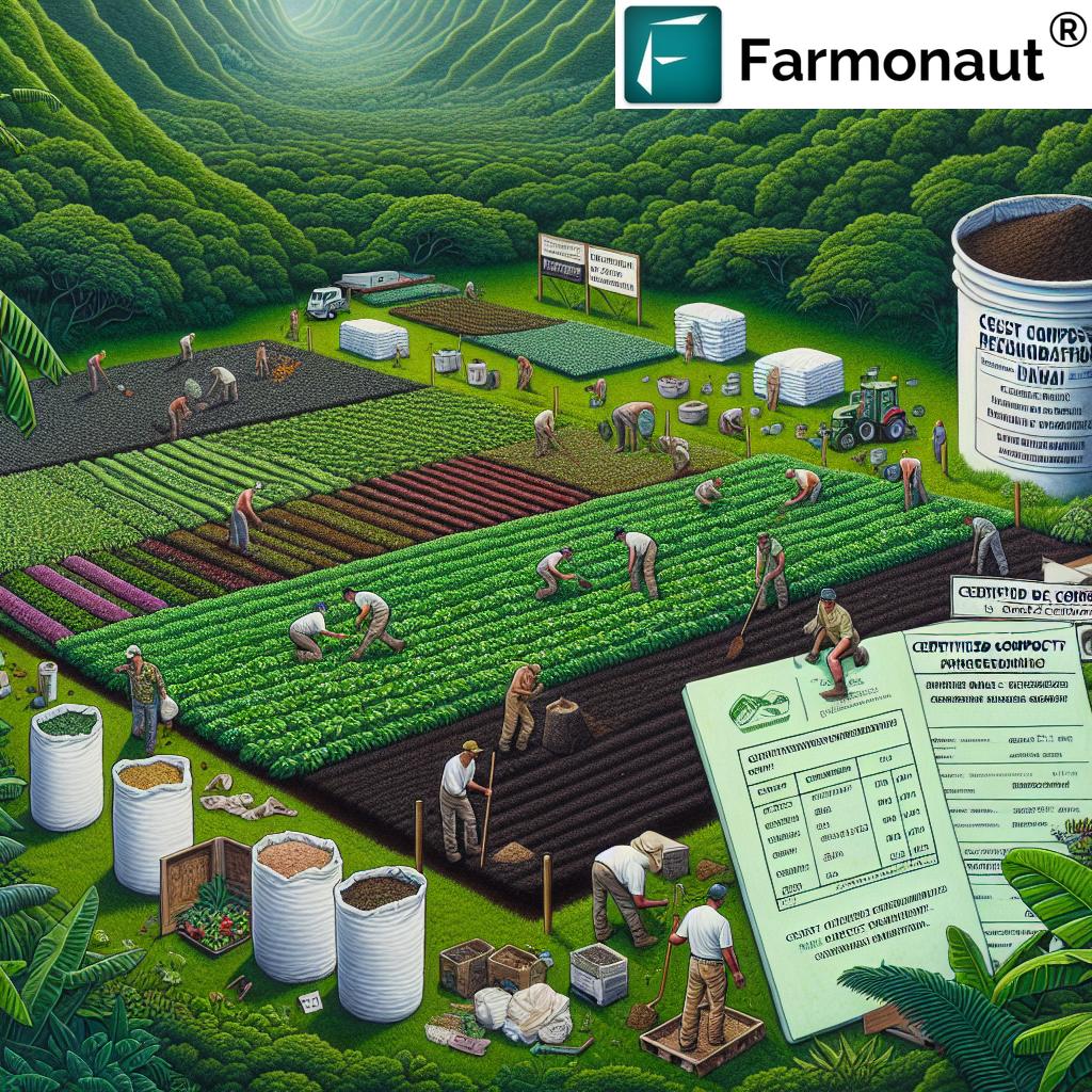
Introduction: The Heart of Arkansas Agriculture in 2025
Arkansas stands as one of America’s most significant agricultural states, renowned for its fertile soil, abundant water resources, and favorable climate. This rich heritage helped make Arkansas a national leader in essential crops like rice, corn, cotton, soybeans, and poultry.
However, in recent years the challenges posed by climate variability—especially drought—have increasingly impacted production and farmers’ livelihoods across the state. In 2025, understanding where crops are grown and how drought conditions affect different regions of Arkansas is essential for farmers, policymakers, and stakeholders to make informed decisions.
This comprehensive guide will explore the intricacies of both the Arkansas crops map and Arkansas drought map for 2025, uncovering spatial crop trends, water stress, and actionable precision farming strategies to bolster agricultural resilience.


Understanding the Arkansas Crops Map: 2025’s Spatial Crop Distribution
The Arkansas crops map is an indispensable tool for visualizing the geographic distribution of key crops—enabling farmers, agricultural advisors, and policymakers to better understand current planting patterns, soil types, regional variations, and the conditions that influence yield and performance statewide.
- Mississippi Delta Region: This area, east of Little Rock and along the Mississippi River, is predominantly dedicated to rice and soybean cultivation due to alluvial soils and abundant water supply.
- North & Central Arkansas: The rolling hills and valleys favor corn, cotton, and winter wheat, thanks to diverse soil types and variable climatic factors.
- Southwestern Region: Here, significant forestry operations coexist with row crops and pastureland for livestock.
The crops map doesn’t just represent current distributions; it is also the foundation for analyzing rotation trends, developing targeted pest management strategies, and enhancing real-time forecasting for expected yield in the face of environmental variability.
For farmers and other stakeholders, the Arkansas crops map provides crucial information to:
- Identify optimal areas for drought-tolerant or intensive crops.
- Inform irrigation investments in regions facing higher drought risk.
- Refine planting and crop switching strategies (for example, shifting from rice to soybeans in response to drought).
- Enable more efficient input use, reduced costs, and improved sustainability.
- Integrate field-level insights with advanced precision agriculture tools.
These insights equip Arkansas with the knowledge and strategies necessary to remain competitive and resilient against environmental challenges.
Key Regions and Strategic Crop Distribution in 2025
The diverse regions across Arkansas make for a rich agricultural landscape, where different crop types thrive thanks to unique soil conditions, topography, and climatic factors.
-
Mississippi Delta:
This eastern region is famed for its alluvial plain and is the primary area for rice and soybean cultivation. Thanks to its abundant water
availability and rich, fertile soils, it supports high-yield crop production. In 2025, spatial analysis shows rice acres shifting slightly west as
drought patterns alter traditional water access. -
Ozark Plateau & North Central:
Known for rolling hills and valleys, these regions are less intensive but suited for corn, wheat, and cotton, offering moderate
resistance to moderate drought due to deeper root zones and mixed soils. -
Southwest Arkansas:
Significant forestry operations intermingle with row crops, beef, and poultry farming.
Longer dry seasons challenge traditional crops but open opportunities for diversifying into climate-adapted varieties and improved forest-water management. -
Arkansas River Valley:
Offers mixed cropping—corn, cotton, and winter wheat—with variable drought risk given its central location and intermittent rainfall.
Role of Soil, Topography, and Crop Selection
The soil makeup ranges from alluvial soils along the river (suited for rice) to upland clays and loams in the hills (better for cotton, wheat, and forage crops).
By integrating the Arkansas crops map with technological advances like field-level precision mapping, we can better match crop varieties with local soil types and forecasted water availability—unlocking higher yield potential and resilience.
Arkansas Drought Map 2025: Assessing Water Stress & Risk
The Arkansas drought map, as maintained by national agencies like the U.S. Drought Monitor and NIDIS, is vital for revealing spatial water stress and drought risk across the state. As climate patterns in 2025 trend more variable, episodic droughts have emerged as powerful modifiers of crop productivity.
Drought maps use categories to assign severity levels—from abnormally dry to exceptional drought—depending on measured soil moisture, precipitation anomalies, and short-to-mid-term temperature trends.
- Eastern Arkansas (Delta) typically receives higher rainfall, but is vulnerable as water tables fluctuate with longer dry periods.
- Southern and western regions have historically experienced more frequent drought conditions.
- Growing unpredictability makes drought mapping more important for planning, risk assessment, and disaster mitigation.
The 2025 Arkansas drought map helps ensure the availability of water resources for irrigation and underpins:
- Yield Forecasting: Simulating projected yield losses in advance for threatened cropping systems.
- Irrigation Decisions: Identifying when and where to prioritize water use as conditions worsen.
- Risk Management: Helping farmers decide whether to switch to drought-tolerant crops or change planting dates in anticipation of dry spells.
- Resource Allocation: Guiding agencies and policymakers in targeting emergency aid or infrastructure investment to the most critical areas.
Climate Variability and the New Faces of Drought in 2025
Climate variability has intensified, compounding the challenges of predicting water availability in Arkansas. Models for 2025 show:
- Increased frequency of short-term dry spells across the state.
- Longer, more severe heat waves disproportionately affecting western and southern Arkansas.
- Shifting precipitation patterns causing high spatial variability in soil moisture and irrigation demand.
These environmental challenges underscore the need for data-driven strategies in both mapping and planning.
For those seeking to improve sustainability and environmental footprint in Arkansas farming, Farmonaut’s carbon footprinting tools provide farm-centric emissions and resource tracking—enabling better compliance and more sustainable resource use in water-stressed conditions.
Precision Farming, Mapping Tools & Technological Advances in Arkansas (2025)
Advanced mapping tools, satellite technology, and AI-driven analytics are a game-changer for Arkansas agriculture in 2025. They empower farmers and large-scale stakeholders to pinpoint spatial crop distribution, assess real-time drought stress, and implement precision agronomic strategies that optimize production even under uncertain environmental conditions.
- Satellite Imagery: Tracks vegetation health, soil moisture, and planting progress statewide.
- AI Advisory Systems: Delivers real-time alerts and data-driven recommendations on optimal planting windows, crop switching, irrigation scheduling, and pest risk.
- Resource Management Dashboards: Combine Arkansas crops map and drought map overlays to inform day-to-day decisions.
- Blockchain Traceability: Secures supply chain transparency—valuable in times of increased risk and changing spatial crop areas. See product traceability platform for more details.
Precision farming practices directly improve:
- Inputs efficiency (fertilizer, water, crop protection)
- Risk reduction in drought-prone regions by optimizing irrigation and insurance coverage. Learn about satellite-based crop loan & insurance verification.
- Yield maximization while supporting sustainability goals.
For developers and agri-tech companies, Farmonaut’s satellite-data API delivers actionable geospatial data for Arkansas crops map, drought map, field boundaries, and much more. Comprehensive documentation can be found at Farmonaut API Developer Docs.
2025 Arkansas Crop Distribution and Drought Risk Overview
To synthesize Arkansas’s agricultural landscape, the table below compares spatial crop distribution, estimated acreage, primary regions, drought risk levels, and the current extent of precision farming adoption for major crops in 2025. This integrated view aids farmers and stakeholders in making informed decisions and allocating resources effectively.
| Crop Type | Estimated Acreage (2025) | Main Growing Regions | Drought Risk Level | Precision Farming Adoption |
|---|---|---|---|---|
| Soybeans | 3.16 million acres | Delta (East), Central, South | Medium | Yes |
| Rice | 1.25 million acres | Delta (East), Moving West | High | Yes |
| Corn | 800,000 acres | Central, River Valley, North | Medium | Yes |
| Cotton | 580,000 acres | South Delta, Central, Northeast | High | No |
| Wheat | 210,000 acres | Northwest, Central | Low | No |
Interpretation example:
Soybeans and rice are dominant in acreage—rice faces higher drought risk and is shifting spatially in 2025, while cotton remains drought susceptible and has lagged in precision farming adoption. Awareness of these trends supports strategic decisions in Arkansas’s changing environment.
For agricultural businesses requiring robust, multi-field monitoring and planning, Farmonaut offers large-scale farm management dashboards to integrate spatial cropping, drought mapping, and advisory insights in one platform.
Impacts, Challenges, and Forward-Looking Strategies
Coupling the Arkansas crops map and Arkansas drought map provides a deeply strategic edge to farmers, policymakers, and the agricultural sector. Responding to spatial shifts, water deficits, and variable climate in 2025 requires precise and timely interventions.
Major Impacts and Adaptive Strategies
-
Yield Loss Mitigation:
Using detailed mapping tools to forecast and minimize yield risk from anticipated drought conditions. -
Crop Switching and Spatial Adaptation:
Farmers are increasingly shifting to less water-intensive crops or drought-resistant varieties in areas flagged by the drought map as high-risk. -
Water Infrastructure Upgrades:
Local governments and private entities plan investments in irrigation, reservoirs, canals, and on-farm conservation structures in critical regions mapped out as drought-prone. -
Enhanced Pest & Rotational Management:
Drier seasons influence pest migration—combining crops and drought maps improves regional pest management and supports better rotation planning to restore soil health (get planting and forest advisory). -
Risk Planning for Forestry & Mining Sectors:
Drought maps help assess wildfire risk for foresters and gauge water availability for mining operators in Arkansas—allowing for safer, more sustainable operations. -
Insurance and Financial Access:
Satellite verification strengthens crop loan applications and supports rapid payout for drought-affected fields.
How Farmonaut Empowers Arkansas Agriculture
As a pioneering satellite technology company, we at Farmonaut are committed to making satellite-driven insights affordable and accessible to Arkansas agricultural stakeholders. Our platform leverages a robust combination of satellite imagery, AI-based advisory, blockchain traceability, and actionable resource management tools to empower productive, sustainable, and informed decision making—in real time.
Farmonaut offers:
- Multispectral satellite monitoring: For in-depth crop health (NDVI), soil conditions, and field boundaries.
- AI-powered advisory: Our Jeevn AI delivers field-specific recommendations on planting, irrigation, and climate adaptation strategies. Learn about sustainable farming and carbon reduction.
- Blockchain-based traceability: Ensuring trustworthy, transparent, and secure agricultural product supply chains.
Product traceability info. - Environmental impact monitoring: Real-time tracking of carbon, water, and resource usage.
- Accessible on all platforms: Android, iOS, web, and API for integrating with existing agri-business tools.
- Remote fleet, farm, and resource management. Explore fleet management tools for operational efficiency.
Our tools serve farmers, businesses, resource managers, and policymakers working to navigate and adapt to the complex challenges of climate and water risk in Arkansas agriculture.
“Precision farming tools mapped a 21% increase in water-stressed zones statewide, reshaping crop distribution strategies in Arkansas.”
Frequently Asked Questions: Arkansas Crops Map & Drought Map 2025
-
What is the Arkansas crops map and why is it important for 2025?
The Arkansas crops map is a geographic visualization of where major crops like rice, soybeans, corn, cotton, and wheat are grown across the state. In 2025, it is crucial for understanding planting decisions, optimizing yield, managing soil resources, and adapting to the growing challenges of drought and climate variability. -
How does the Arkansas drought map support agricultural decision-making?
The Arkansas drought map provides real-time insights into soil moisture deficits, rainfall anomalies, and drought severity across various regions. By overlaying drought maps with crop distribution, stakeholders can proactively adjust planting schedules, irrigation strategies, and crop selections to mitigate risk. -
What are the highest drought risk crops and regions in Arkansas in 2025?
Rice and cotton exhibit the highest drought risk, especially in the Delta and certain central and southern zones. These areas should prioritize precision irrigation, drought-tolerant varieties, and flexibility in crop planning based on up-to-date drought and crop maps. -
How do precision farming and satellite mapping benefit Arkansas farmers?
Precision farming and satellite mapping give farmers field-level visibility on crop health, water stress, pest pressure, and more. This enables targeted input use, better resource management, higher efficiency, and sustainability—vital in drought-prone conditions. -
Can these maps help financial institutions or agribusinesses?
Yes! Spatial data and satellite-driven verification help banks and insurers make smarter lending decisions, reduce fraud, and expedite payouts for farmers affected by drought using platforms like Farmonaut’s crop loan & insurance verification. -
Is Farmonaut a regulator, equipment seller, or online marketplace?
No, Farmonaut is a satellite technology company delivering advanced remote sensing, monitoring, and AI/analytics tools for agriculture, mining, and infrastructure—not a marketplace, regulator, or manufacturer/seller. -
How can stakeholders stay updated with changes in Arkansas’s crop and drought conditions?
By subscribing to satellite analytics platforms such as Farmonaut, stakeholders receive updated maps, field insights, and AI-backed advisory for evidence-based decisions throughout the crop cycle.
Conclusion: Crop Resilience in Arkansas’s Agricultural Future
In 2025 and beyond, the synchronized use of Arkansas crops map and Arkansas drought map is absolutely essential for sustaining agricultural productivity and supporting the resilience of this vital sector. These maps empower farmers, agribusinesses, and policymakers to assess risk, adapt strategies to spatial and temporal environmental changes, and safeguard the future of Arkansas’s rich agricultural heritage.
Satellite technology—integrated with AI and real-time monitoring—is shaping the next frontier in precision agriculture, allowing Arkansas to remain a national leader in food production despite ever-evolving environmental uncertainties and drought risk.
For those ready to embrace data-driven decision-making, Farmonaut’s comprehensive technology suite offers a powerful ally in understanding, monitoring, and planning amidst the shifting crop and drought landscape in Arkansas.
Learn more, explore precision mapping, and take advantage of real-time agricultural insights with Farmonaut—your partner in the modern, sustainable future of Arkansas agriculture.