Makhana Area and Yield Calculation Based on Remote Sensing - 2022
Yield calculation of the crop is very important for assessing the production and it depends on many variables like soil, weather, agricultural practices (date of planting, amount of irrigation and fertilizer use), seeds, pests, weeds and biotic stress.
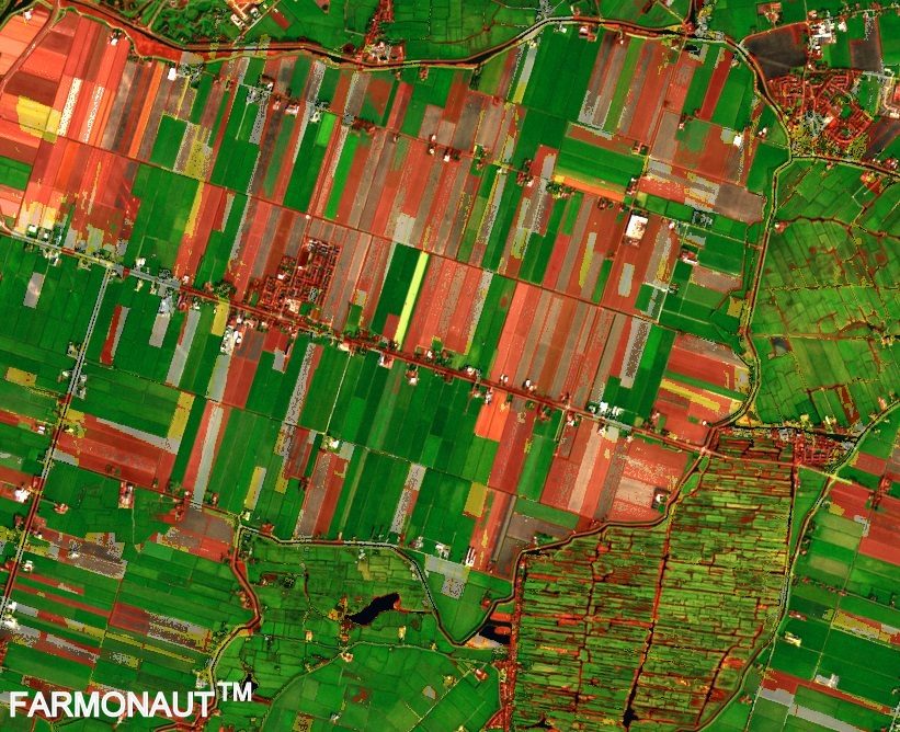
Remote sensing provides an effective and efficient way to forecast yield. Remote sensing has been widely used by many institutions across world to calculate area and yield of a crop.
In this paper, we focus on forecasting yield of makhana based on data from Sentinel-2 satellite data.
We will keep posting about any such informative information on to our blogs, to help as many people as possible. Farmonaut is built upon a vision to bridge the technological gap between farmers and strives to bring state-of-the-art technologies in the hands of each and every farmer. For any queries/suggestions, please contact us at [email protected].
We have some more interesting articles coming up soon. Stay tuned!
Wait!!
Before that…
Follow Us at:


