What Is the Best Land Class and the Worst Land Class? A Deep Dive into Land Capability Classification, Soil Properties, and Sustainable Management
“Only 3% of global land is classified as Class I, the most productive and least restrictive for agriculture.”
Introduction: Why Land Capability Classification Matters
As land stewards, farmers, planners, and environmentalists, it’s our responsibility to ensure the optimal and sustainable use of our limited lands. Whether for agriculture, forestry, grazing, recreation, or conservation, land capability classification provides a systematic approach for understanding the unique potential and limitations of each parcel of land.
By delving into the science of soil properties and land use, the varied factors affecting land classification, and the practical implications of each class, we equip ourselves to make informed decisions. In doing so, we protect our natural resources, maximize productivity, and contribute to environmental resilience.
In this comprehensive guide, we’ll explore the best land class and the worst land class as defined by the internationally recognized Land Capability Classification (LCC) system. We’ll also discuss how sustainable land management practices, modern technology, and our understanding of land’s capability empower responsible land use planning, conservation, and productivity for current and future generations.
What Is Land Capability Classification?
Land capability classification is a systematic approach for evaluating and categorizing land based on its potential, limitations, and suitability for various uses—especially agricultural production, forestry, grazing, pasture, and wildlife habitat.
The LCC system was developed to promote soil conservation, prevent environmental degradation, and guide sustainable land management and use. By considering a range of factors—including soil properties, topography, climate, and erosion risk—it helps us identify which lands are suitable for intensive production and which are best reserved for conservation, recreation, or non-commercial uses.
- The fundamental goal of land capability classification is to determine the most appropriate and sustainable use of each distinct parcel of land.
- It provides a framework for land use planning and management, ensuring that we balance productivity with long-term environmental stewardship.
Key Objectives of Land Capability Classification
- Maximize land productivity within the sustainable limits of each site
- Direct vulnerable lands towards conservation or non-agricultural use
- Reduce soil erosion and degradation through informed management
- Support effective land use planning for food security, economic growth, and environmental resilience
Whether we’re farmers seeking the best sites for crops, forestry managers planning sustainable operations, or regional planners aiming to safeguard sensitive watersheds, understanding land capability classification is foundational to success.
Factors Affecting Land Capability Classification
The classification of land for agriculture, forestry, or conservation hinges on a matrix of interrelated attributes. Understanding these key factors gives us deeper insight into why certain lands are classified as they are, influencing both their potential uses and the recommended management practices.
Major Factors in Land Capability Classification
- Soil Properties: Texture (sand, silt, clay), structure, depth (measured in cm), organic matter, pH, drainage, and fertility are primary determinants of crop and forest land suitability.
- Topography: Slope gradient, slope length, and landscape position affect both mechanization feasibility and potential for erosion. Steeper slopes usually have greater limitations.
- Climate: Temperature range, precipitation patterns, growing season length, and extreme events can define what plant species (crops and forest) will prosper.
- Water Availability: Soil moisture, rainfall, irrigation potential, and proximity to natural water sources impact both productivity and conservation needs.
- Erosion Potential: Susceptibility to wind and water erosion is evaluated to guide conservation practices and maintain soil health.
- Other Limiting Factors: Stoniness, wetness (e.g., waterlogging), salinity, and environmental constraints (such as extreme climate or shallow soils).
Collectively, these factors help determine the capability class and offer guidance for selection of appropriate land uses—whether that’s intensive agricultural production, forestry, managed grazing, or habitat and watershed conservation.
Keyword Focus: Soil Properties and Land Use
Let’s remember that, no single factor alone determines land classification. It’s the combination—and sometimes the interaction—of soil properties, climate, topography and related factors that shape the final class and recommendations for use and management.
The Eight Land Capability Classes—From Best to Worst
Land capability classification categorizes land into eight classes, with Class I as the best and Class VIII as the worst for commercial plant production and cultivation.
- Class I: Very few limitations; highly suitable for a wide range of intensive uses such as crop production, orchards, and forestry.
- Class II: Moderate limitations; requires some conservation practices but supports diverse crops and forest species.
- Class III: Severe limitations; suited for crops and forestry, but requires specialized management for acceptable productivity.
- Class IV: Very severe limitations; only suitable for occasional crops or specific forestry purposes with significant risk mitigation.
- Class V: Little or no erosion hazard, but usually limited by other factors (wetness, stoniness); often used as range land or wildlife habitat.
- Class VI: Severe limitations; unsuitable for cultivation, but usable for pasture, range land, forestry, or wildlife habitat.
- Class VII: Very severe limitations; not suited to cultivation, limited to grazing, forest land, or wildlife habitat.
- Class VIII: Unsuitable for cultivation or grazing; reserved for recreational, aesthetic, wildlife, or watershed protection purposes.
Subclasses indicate the dominant limitation: e = erosion, w = wetness, s = stoniness, and c = climatic.
Why Are These Classes So Important?
By defining both limitations and potential, the LCC system enables strategic land use that balances agricultural land suitability, conservation, and sustainable productivity. It’s a linchpin for land use planning and management—from individual farms to national policies.
- Enables crop and forest land suitability mapping
- Guides erosion and land conservation strategies
- Foundational to forestry land classification and habitat preservation
“Class VIII land, the worst category, covers about 13% of Earth and is unsuitable for cultivation or grazing.”
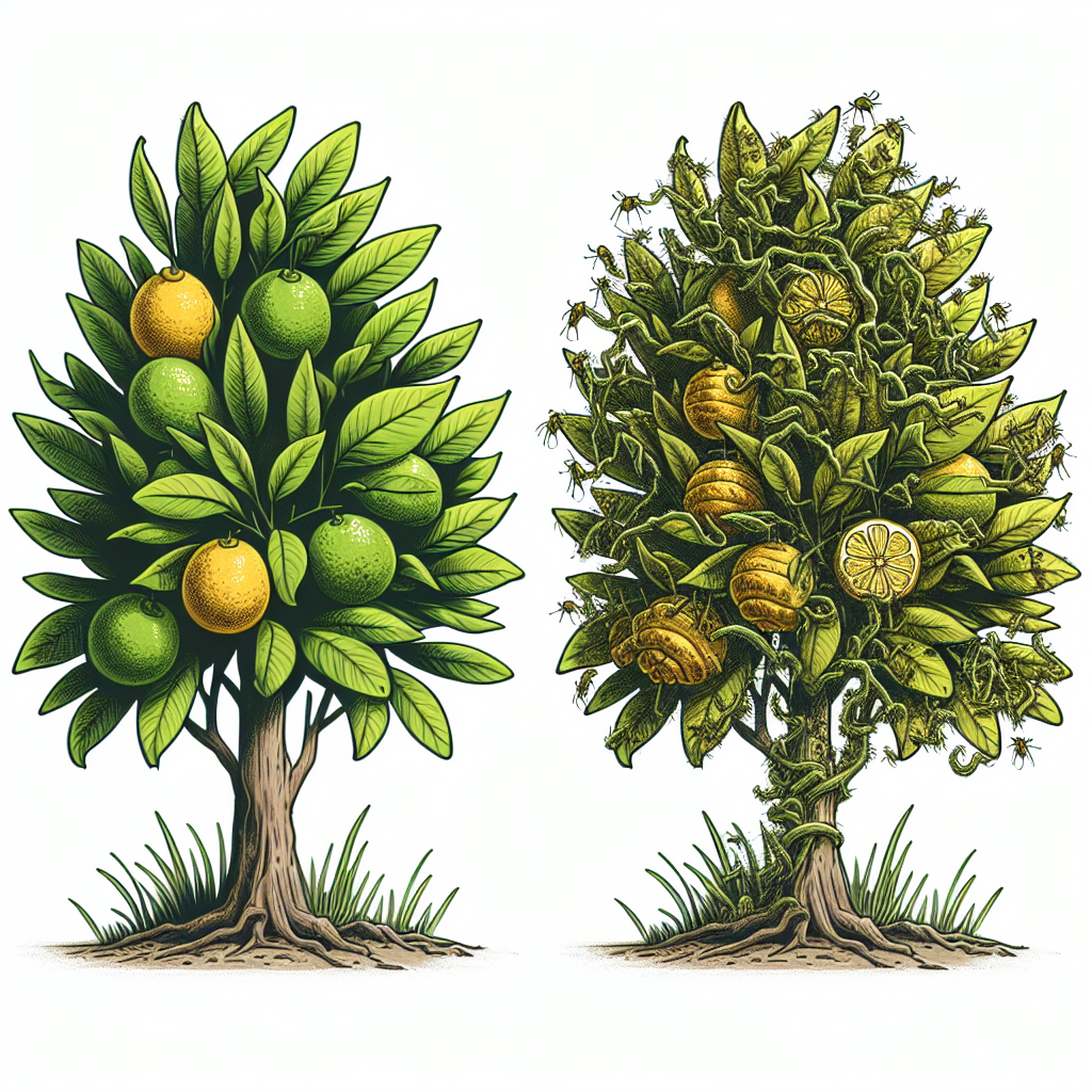
Best Land Class: Class I
Class I stands at the pinnacle of land capability classification. These lands are rare (just 3% of Earth’s surface), exceptionally productive, and impose almost no restrictions on land use. Through the lens of soil properties and land use, here’s what sets Class I apart:
- Soil Properties: Deep (>100 cm), well-drained, highly fertile soils with balanced texture and excellent structure. High water-holding capacity and low stoniness.
- Topography: Nearly level terrain (slopes <2%), minimizing erosion risk and supporting mechanization.
- Climate: Favorable climatic conditions—sufficient rainfall and temperature range for most crops and forest species.
- Water Management: Efficient natural drainage, little risk of standing water (wetness), or salt accumulation.
- Use Potential: Supports intensive cultivation, orchards, repeated cropping, and sustainable forestry operations with minimal input.
- Productivity: Maximum attainable yields for almost any crop or forestry activity, provided standard best practices are followed.
The attributes of Class I make it the gold standard for agricultural land suitability and forest land production. With appropriate sustainable practices, productivity remains very high while risks of degradation are minimized. These lands allow us to practice intensive agriculture, mechanized cropping, and diverse forestry with unrivaled efficiency.
For advanced precision farming—like the real-time NDVI and soil moisture monitoring provided by Farmonaut—Class I lands provide an ideal foundation, but even their potential can be fully realized only with careful management and ongoing monitoring.


Discover Farmonaut’s Carbon Footprinting tools to monitor and manage agricultural emissions for Class I to Class III lands, ensuring ongoing sustainability and compliance with environmental regulations.
Worst Land Class: Class VIII
On the opposite end of the land capability spectrum lies Class VIII. These lands are the least suitable for agriculture, grazing, or commercial forestry. Instead, their greatest value is in ecological, recreational, watershed, and wildlife habitat roles.
- Soil Properties: Severely restricted—very shallow depth (<20 cm), very poor fertility, high stoniness, and/or presence of hardpans or toxic substances.
- Topography: Extremely steep slopes (>25-30%), rocky outcrops, or terrain that’s otherwise inaccessible or dangerous for machinery.
- Climate: May include exposure to severe climatic factors (extreme aridity, cold, flooding, etc.) that preclude plant production.
- Water Issues: Chronic wetness, high salinity, or persistent drought.
- Use Limitations: Not practical for crop or forest production; may be susceptible to severe erosion or degradation if disturbed.
- Appropriate Uses: Recreation, watershed and wildlife habitat protection, natural reserves, or restoration efforts.
Any attempt at cultivation or afforestation on Class VIII would be cost-prohibitive and environmentally damaging. Instead, responsible management focuses on conservation, recreation, and ecosystem services—protecting water resources, soil, and vital habitat for diverse wildlife species.
Leverage Farmonaut’s Traceability Solutions to highlight and document conservation and habitat protection efforts on Class VIII and highly restricted lands.
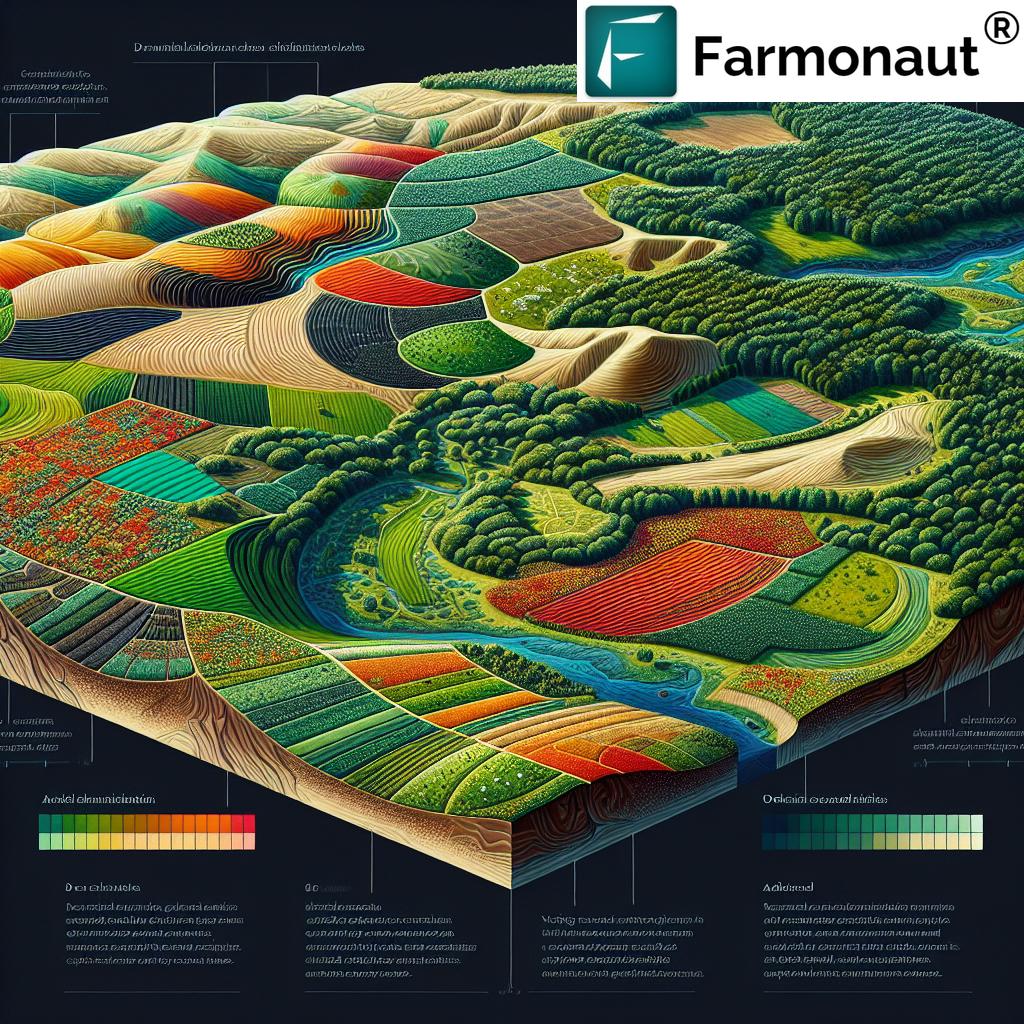
Land Capability Classification Comparison Table
| Land Class | Soil Quality (Est.) | Common Land Uses | Major Limitations (Est.) | Sustainable Management Practices |
|---|---|---|---|---|
| Class I | Very high fertility; depth >100cm; well-drained, balanced texture | Row crops, orchards, intensive agriculture, forestry | Negligible; excellent for mechanization | Standard crop rotation, minimal erosion control |
| Class II | High fertility; depth 75–100cm; good drainage | Crops, pastures, some forestry | Slight slope (2–5%), moderate erosion risk or minor wetness | Contour farming, basic conservation, limited tillage |
| Class III | Moderate fertility; depth 50–75cm; variable structure | Limited crops, improved pastures, forestry | Noticeable slopes (5–10%), erosion, wetness, or stoniness | Strip cropping, drainage, targeted erosion control |
| Class IV | Fair fertility; depth 30–50cm; moderate drainage | Specialized crops, orchards, forestry under management | Steeper slopes (10–15%), high erosion, shallow soils | Terracing, advanced erosion control, cover crops |
| Class V | Poor for crops; depth 30–50cm; high wetness or stoniness | Pasture, rangeland, forest land, wildlife habitat | Wetness, flooding, stones—little erosion risk | Rotational grazing, wetland conservation |
| Class VI | Low fertility; depth 20–30cm; restricted structure | Range land, forest, limited grazing, habitat | Steep slopes (15–25%), very stony/shallow soils | Reforestation, controlled grazing, habitat restoration |
| Class VII | Very low fertility; depth <20cm; poor drainage/structure | Limited grazing, wildlife habitat, forest preservation | Extreme slope (>25%), rocks, frequent degradation | Managed restoration, erosion barriers, passive use |
| Class VIII | Unproductive soils; very shallow (<10cm); highly erodible | Wildlife habitat, watershed, recreation, conservation | Extreme slopes, stoniness, severe erosion, exposure | Protection, no tillage, restoration, recreation only |
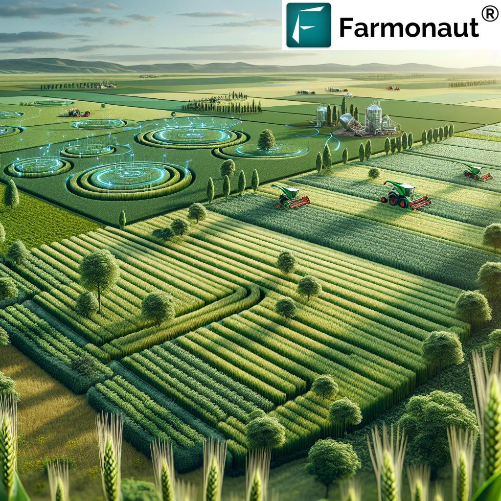
Land Capability Classification in Real-world Land Use Planning
So how does land capability classification shape our decisions on the ground? Let’s look at some real-world applications:
- Agricultural Planning: Farmers select Class I or II lands for intensive crop production, using Farmonaut’s crop, plantation, and forest advisory for continuous monitoring and adaptive management.
- Forestry Management: Identifying the best sites for sustainable timber production and forest conservation, maximizing crop and forest land suitability.
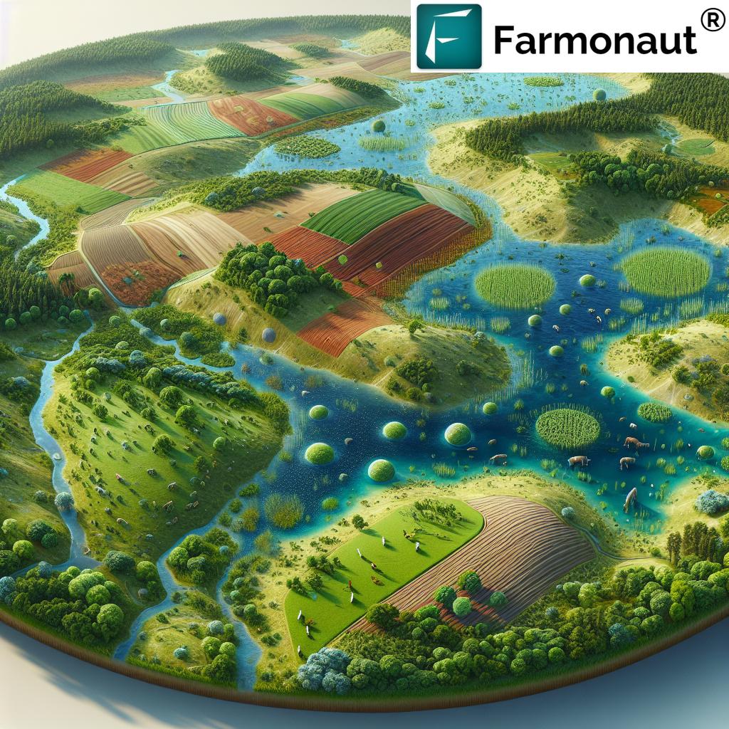
- Conservation Efforts: Directing sensitive Class V–VIII lands towards watershed protection, carbon footprint management, and habitat preservation for biodiversity.
- Urban and Regional Planning: Using capability maps to zone lands for urban development, recreation, agriculture, or long-term conservation based on inherent limitations and risks.
- Agricultural Finance and Insurance: LCC data supports crop loan and insurance schemes by providing verifiable, objective assessments of land productivity and risk.
- Large-Scale Operations: Agribusinesses employ Farmonaut’s large scale farm management solutions to monitor, map, and optimize diverse classes across vast landscapes, ensuring smart resource allocation.
With the precision and real-time insights made possible by tools like satellite-based crop health monitoring and fleet management solutions from Farmonaut, these decisions become both smarter and more scalable—empowering sustainable intensification and conservation without compromising productivity.
Sustainable Land Management Practices Across Classes
The appropriate management practices for any given parcel arise directly from its land capability class. By tailoring our strategies—whether for crops, forests, range land, or wildlife habitat—we both maximize sustainable productivity and minimize risk of degradation or erosion.
Examples of Sustainable Land Management by Class
- Classes I & II: Crop rotation, conservation tillage, and judicious fertilizer and water use maintain high yields and soil health; NDVI monitoring with satellite tools optimizes efficiency.
- Classes III & IV: Contouring, strip cropping, extensive cover cropping, and erosion barriers help prevent soil loss; selective mechanization is essential on modest slopes.
- Classes V–VII: Rotational and controlled grazing, enrichment planting for forestry, and wetland management reduce overuse and promote resilience; habitat restoration enhances biodiversity.
- Class VIII: Passive management—preventing any disturbance, promoting natural succession, protecting watercourses, and enabling recreation with minimal impact.
These sustainable land management practices are greatly enhanced with contemporary technology—satellite-based monitoring provides the actionable data required for adaptive management and early warning of emerging risks.
Use Farmonaut’s weather and satellite API or read the API developer docs to integrate real-time alerts—and elevate your sustainable land management processes.
Farmonaut: Empowering Precise Land Classification and Sustainable Management
Modern challenges require modern tools. Farmonaut offers cutting-edge, satellite-based farm management solutions compatible with Android, iOS, web, and API interfaces—bringing powerful, data-driven insights to every land steward across the globe.
- Satellite Crop Health Monitoring: Real-time, field-level insights into crop vigor, soil moisture, and early stress detection—enabling adaptive management for Class I–IV lands and precision conservation on Classes V–VII.
- AI-Based Advisory (Jeevn AI): On-demand, personalized crop, weather, and soil recommendations—helping maximize output while prioritizing sustainable practices.
- Blockchain Traceability: Full transparency for product provenance and land management actions—trusted by agribusiness, food, and textile industries.
- Fleet & Resource Management: Optimize farm machinery deployment and reduce input costs for large-scale operations across multiple land classes.
- Carbon Footprinting: Quantify, track, and improve the environmental performance of your operations—essential for compliance and long-term viability.
Affordable, scalable, and easily accessible, Farmonaut is revolutionizing the way we approach land capability classification, sustainable land management, and data-based productivity. From smallholders to government agencies, our mission is to empower every land user to make better, greener decisions—securing both livelihoods and landscapes for the future.
FAQ: Land Capability Classification
1. What is the main purpose of Land Capability Classification?
The main purpose is to systematically categorise land based on its inherent potential and limitations, guiding sustainable, productive, and environmentally sensitive land use for agriculture, forestry, conservation, and recreation.
2. How does soil quality affect land classification?
Soil properties—fertility, texture, structure, depth, and drainage—are central to determining a land’s suitability for crops, forestry, or habitat. Poorer soil characteristics increase limitations and move parcels into lower capability classes.
3. Is Class VIII land always unusable?
While Class VIII lands are unsuited for traditional agricultural or forestry activity, they are invaluable for wildlife habitat, recreation, ecological restoration, and watershed protection. Their preservation supports broader environmental sustainability.
4. Can technology upgrade the capability class of land?
Advanced management, such as irrigation and conservation engineering, may mitigate some minor limitations. However, fundamental factors like topography and deep-seated soil constraints ensure that most capability classes are persistent over time. Farmonaut’s satellite monitoring can help optimize practices within class boundaries.
5. How are capability classes used in large-scale land planning?
Land capability maps guide zoning decisions, conservation priorities, agricultural subsidy planning, and infrastructure placement—maximizing sustainable productivity and minimizing land degradation risks at regional and national levels.
Conclusion: Harnessing Land Capability Classification for a Sustainable Future
Land capability classification is much more than a technical evaluation—it’s the foundation of responsible land stewardship. By systematically understanding and respecting the inherent limitations and opportunities of our landscapes, we can:
- Protect vital soils, habitat, and water resources
- Maximize sustainable productivity and food security
- Safeguard biodiversity and ecosystem services
- Reduce the risk of land degradation and erosion
- Enable climate resilience and support global sustainability goals
Whether managing the rare, highly productive Class I lands or safeguarding the fragile, irreplaceable Class VIII landscapes, it is our collective responsibility to apply the right management, technology, and planning. Farmonaut empowers us to make these decisions with unprecedented precision, affordability, and scale.
As we move forward, let’s put land capability classification into practice—combining tradition, science, and innovation for sustainable land use, environmental stewardship, and a thriving global community.