Agriculture Drone: Unmanned Aerial Vehicle Revolution
“By 2025, the global agriculture drone market is projected to surpass $5.7 billion in value.”
Introduction: The UAV Revolution in Agriculture
A drone is an unmanned aerial vehicle that is guided remotely, and farmers across the world are now utilizing drones, which are revolutionizing the farming industry. From North America to Asia, unmanned aerial vehicles (UAVs) are no longer just a futuristic concept—they’re essential assets transforming how farms and forests are managed.
The adoption of drones within the agricultural sector has surged globally since the early 2020s, reaching critical mass by 2025. Farmers and agribusinesses are leveraging drones for precision agriculture, remote monitoring, targeted interventions, and data-driven decision-making. Although drones in themselves are not a new technology, their recent, innovative integration into agriculture is significantly impacting the industry and creating an entirely new market. Which type of new product is a drone in the context of agriculture? It’s a “new-to-the-market product”: an existing technology, innovatively repurposed to serve specialized, previously unaddressed agricultural needs.
In this comprehensive guide, we explore what is agriculture drone, how UAVs are reshaping the agri-food landscape, core technologies enabling this transformation, and practical advantages for the farming sector. We’ll also highlight how Farmonaut’s platform empowers farmers with advanced insights, and examine the key challenges and future trends in drone-enabled precision agriculture.
What is Agriculture Drone?
Let’s define it—what is agriculture drone? An agriculture drone is a specialized UAV (unmanned aerial vehicle in agriculture) designed for diverse farming and forestry operations. Equipped with high-resolution cameras, multispectral and thermal sensors, GPS guidance, and sometimes payload delivery systems, these vehicles enable precision agriculture.
- Agriculture drones conduct aerial surveys and monitoring, giving farmers a bird’s-eye view of fields for more efficient crop management.
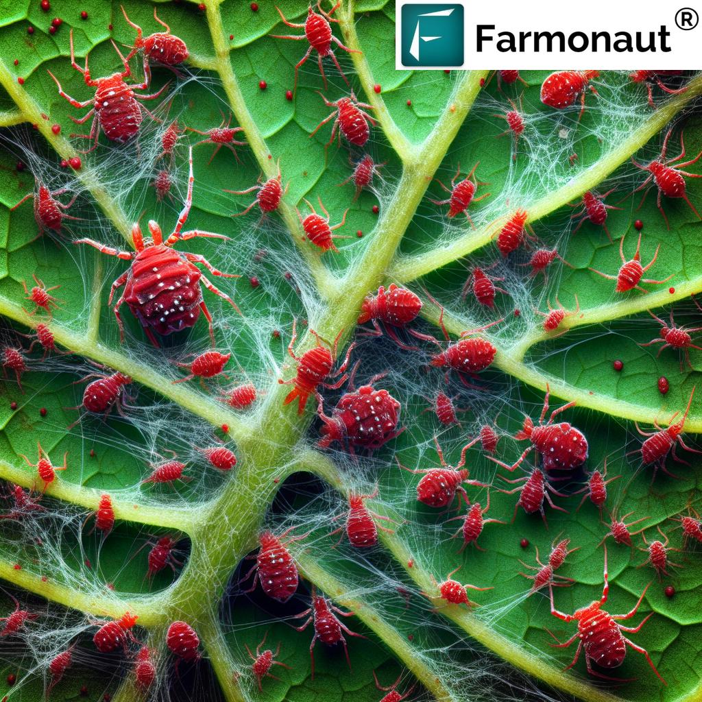
- They detect early signs of crop diseases, nutrient deficiencies, or pest infestations through advanced imaging systems—improving decision accuracy and timeliness.
- With features like targeted pesticide or fertilizer application, these drones minimize chemical waste and environmental impact.
- Forest management is enhanced by deploying UAVs for fire risk assessment, illegal logging detection, and large-scale ecosystem monitoring.
- Data-driven insights from drones help optimize crop yields, reduce labor costs, and support sustainable farming.
In essence: a drone is an unmanned aerial vehicle that is guided remotely, and farmers across the world are now utilizing drones, which are revolutionizing the farming industry. Although drones are not new, their use in agriculture is significantly impacting the industry and creating an entirely new market. Which type of new product is a drone in the context of agriculture?
Agriculture Drones as a New-to-the-Market Product Category
In the context of innovation diffusion, agriculture drones represent a textbook example of a “new-to-the-market” product. UAVs have been widely used in military, logistics, and commercial photography for decades—but the leap into agriculture marks a paradigm shift. Specialized UAVs now meet unique farming needs and address new market segments previously served only by manual labor or costly satellite imagery.
- This adaptation opened an untapped market. Traditional field scouting is labor-intensive and inaccurate. Drones allow rapid and precise data collection.
- By combining cutting-edge technology with existing agricultural practices, drones have created a pioneering product category—a product that revolutionizes the way modern agriculture is managed.
- These specialized UAVs are not just substitutes; they introduce new capabilities (high-frequency data, real-time feedback, AI-driven analytics) to the agricultural sector, supporting the growth of smart farming.
Which type of new product is a drone in the context of agriculture? It’s a new-to-the-market product: an existing technology, innovatively repurposed for new, underdeveloped or previously unaddressed applications within agriculture.
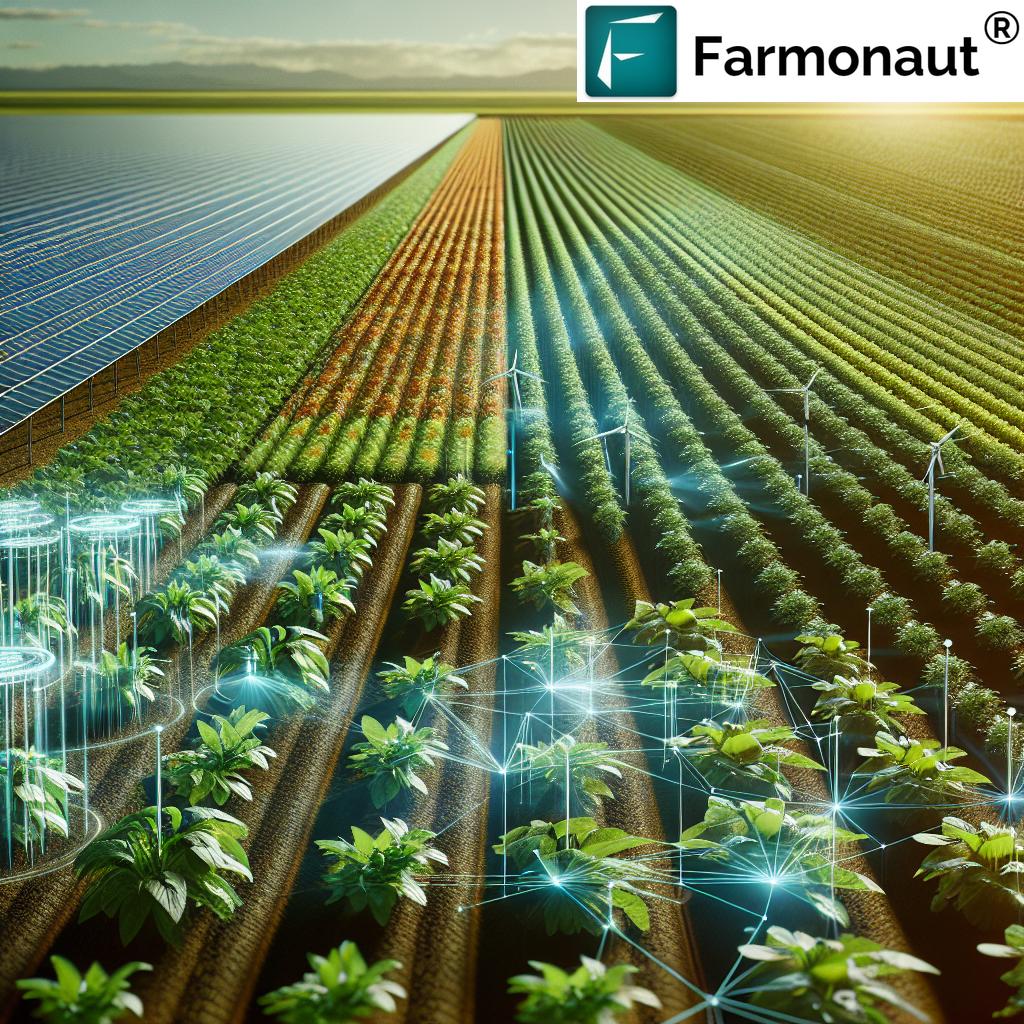
Impact of Agriculture Drones on Farming and Forestry
The reach of unmanned aerial vehicle in agriculture innovation is vast and growing. By 2025, in both developed and developing countries, drones have become indispensable tools in farming and forestry. Their multi-faceted impact includes:
- Precision Crop Monitoring: Multispectral imaging identifies crop stress, disease, or nutrient deficiency early—enabling swift intervention to protect yield.
- Optimized Resource Use: Drones support carbon footprinting and variable rate application of inputs, reducing chemical waste and input costs.
- Labor Efficiency: Aerial scouting reduces manual labor and supports time-critical decision-making, especially when labor shortages occur.
- Improved Forestry Management: Large forest tracts are monitored for health, disease, illegal logging, and fire risks—with rapid response times.
- Enhanced Data Capabilities: Integrated drone data supports large-scale farm management, as offered with Farmonaut’s Large Scale Farm Management solution, enabling agribusinesses and organizations to monitor, map, and strategize across vast acreages.
“Over 30 countries have adopted unmanned aerial vehicles for large-scale crop monitoring and management.”
Core Technologies Behind UAVs in Agriculture
The power and versatility of agriculture drones stem from a sophisticated integration of technologies, each contributing uniquely to the agricultural revolution:
- GPS & Real-Time Kinematics: High-precision navigation enables accurate mapping and repeatable flight paths—vital for consistent monitoring and targeted applications.
- Multispectral & Thermal Sensors: These sensors “see” beyond human vision, analyzing plant health, soil moisture, and pest stress with unparalleled accuracy.
- High-Resolution Cameras: Offer detailed, up-to-date visual records of field conditions—crucial for crop comparisons over time.
- Automated Flight Planning & AI Integration: Reduce operator workload, enable intelligent task scheduling, and provide actionable insights for precision management.
- Payload Delivery Systems: Allow targeted spraying of fertilizers, pesticides, and biological controls, minimizing waste and safeguarding both crops and the environment.
Comparative Feature-Benefit Table: Drone Technology in Action
The table below illustrates how drone features deliver measurable benefits in farming operations. Explore the link between innovative UAV technologies and practical outcomes:
| Drone Feature | Estimated Benefit | Brief Description |
|---|---|---|
| Aerial Imaging (Multispectral/Visual) | Up to 15% yield increase, 20%+ reduction in scouting time | Rapidly detects crop health issues, moisture stress, or pest outbreaks for timely intervention and yield protection. |
| Variable Rate Application (Spraying) | Up to 30% less fertilizer/pesticide use, 18% reduction in chemical costs | Delivers precise amounts only where needed, protecting environment and reducing input expenditure. |
| Field Mapping & GPS Surveying | 95%+ time saved vs manual mapping, Improved planning | Generates accurate, up-to-date field maps and supports resource allocation for large and small farms alike. |
| Thermal Imaging | Boosts water efficiency by up to 25% | Monitors irrigation performance and detects leaks or uneven watering before losses occur. |
| Automated Flight/Swarm Coordination | Reduces field monitoring labor by up to 70% | Multiple drones can cover vast areas in minimal time with little manual intervention. |
| Data Integration and Analysis (AI) | 10–20%+ increased management efficiency | Transforms raw data into actionable insights, improves crop planning, and forecasts risks. |
| Targeted Pest & Weed Detection | Cut pesticide use 10–25%, lower crop losses | Advanced imaging pinpoints outbreaks early, supporting integrated pest management. |
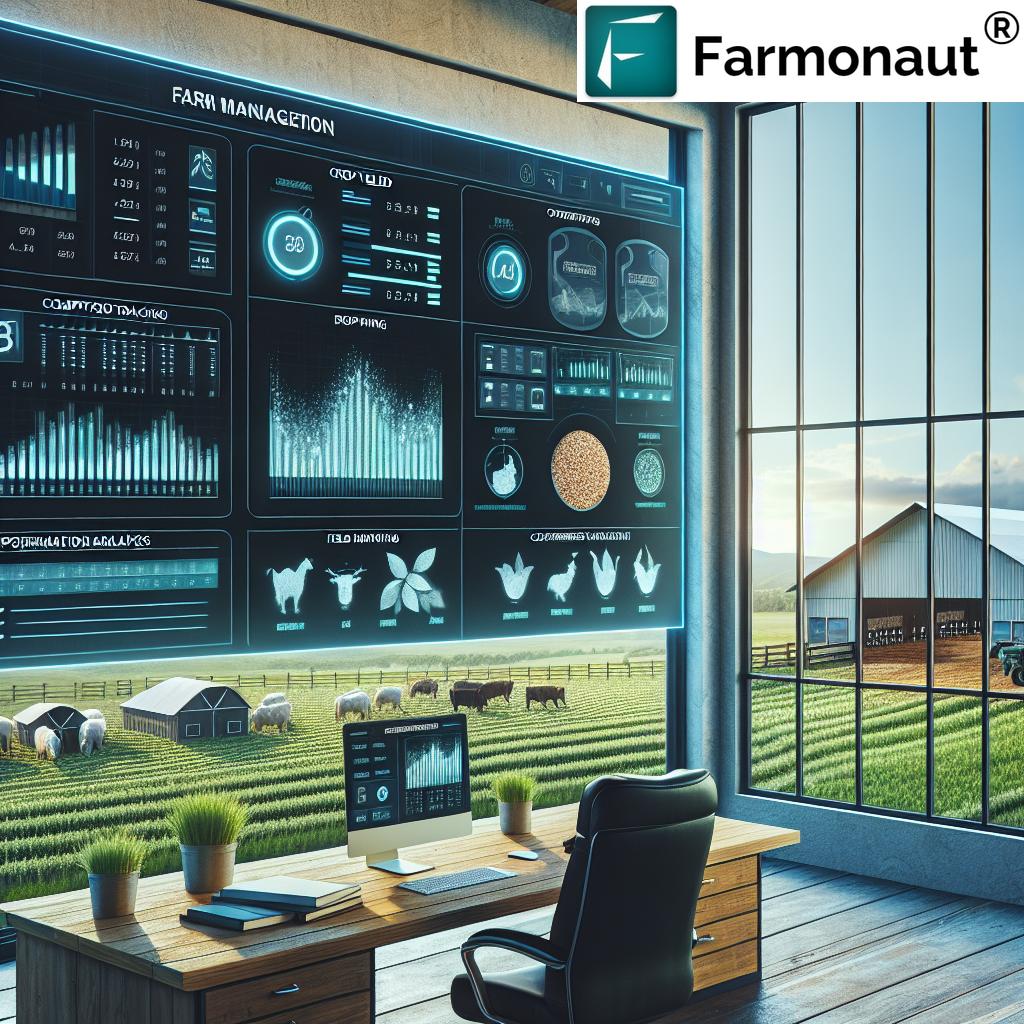
The Farmonaut Platform: Integrating Drone and Satellite Precision
Farmonaut is dedicated to making precision agriculture affordable, accessible, and scalable for farmers worldwide. As a pioneering agricultural technology provider, we leverage satellite-based crop health monitoring, AI-based advisory systems, blockchain traceability, and fleet/resource management—connecting with both UAV and ground data to offer a cohesive decision-making hub for smart farming.
-
Satellite-based crop health monitoring: Our platform delivers real-time, actionable NDVI and multispectral data. Farmers can spot nutrient deficiencies, pest stress, or irrigation issues far earlier than manual scouting allows.
Learn more: Crop, Plantation & Forest Advisory - Jeevn AI-driven Advisory: Using satellite and other data (including UAV sources), our intelligent engine generates climate-resilient, personalized recommendations—maximizing farm productivity with minimum effort.
-
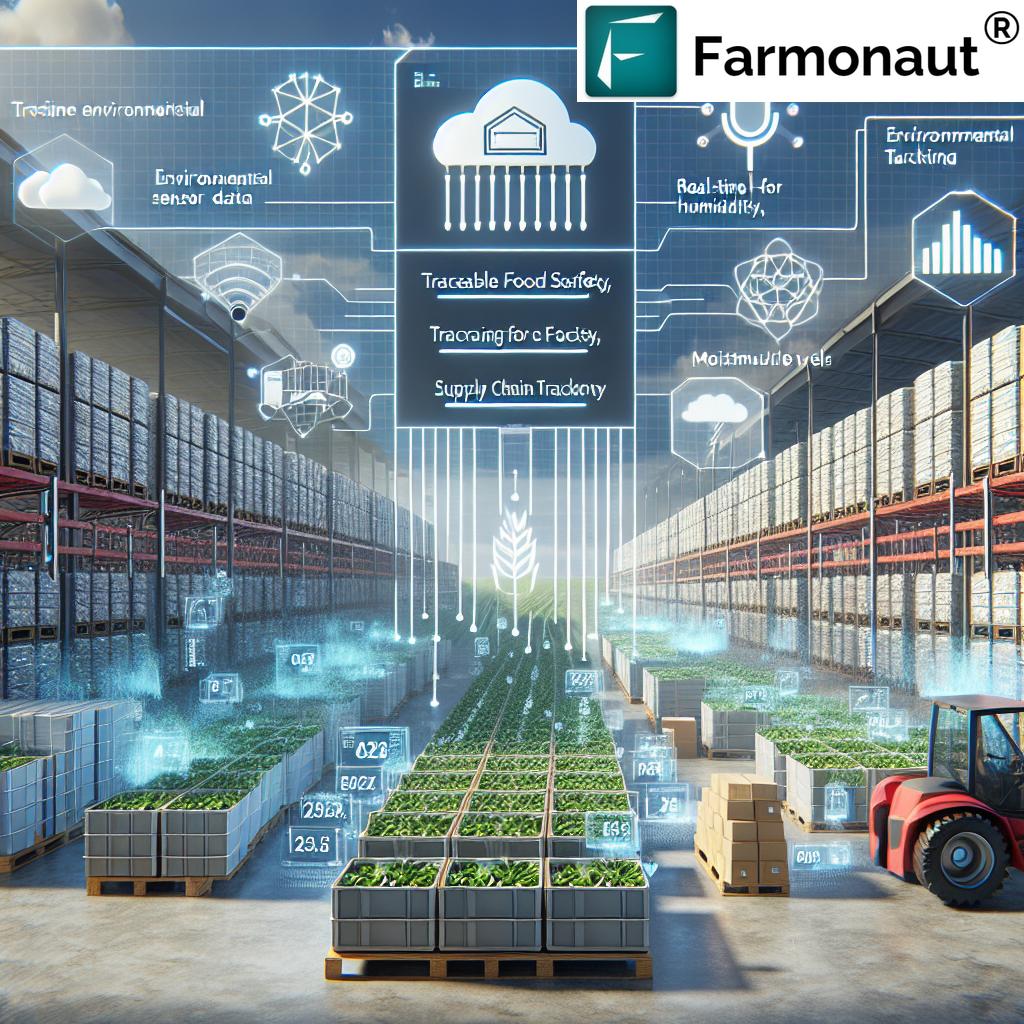
Blockchain traceability tools: Ensure transparency and consumer trust with secure, tamper-evident product traceability. This is critical for modern supply chains in agriculture and forestry.
Explore: Product Traceability Solutions -
Fleet and Resource Management: Our tools enable seamless fleet tracking for UAVs, tractors, and other farm equipment.
See: Fleet Management Platform
Farmonaut’s mission is to empower every farmer, agribusiness, and policymaker with the knowledge, accuracy, and efficiency required to advance sustainability and boost agricultural performance in the 21st century.


For developers and integrators, Farmonaut’s Satellite & Weather API provides seamless programmatic access to satellite, UAV, and weather data.
Access the API here | API Developer Docs
Key Use Cases: How Drones Solve Critical Agricultural Challenges
The versatility of agriculture drones is reflected in their numerous real-world applications. Some of the most impactful use-cases:
- Crop Health Assessment: Using multispectral imagery, drones can distinguish between healthy, stressed, and diseased crop areas in real time.
- Field Mapping for Variable Rate Application: Drones combine high-resolution visual and elevation data to create management zones, enabling targeted fertilizer/pesticide spraying.
- Irrigation Management: Thermal sensors on drones pinpoint water-deficient areas—complementing Farmonaut’s satellite-based large scale field monitoring and analytics.
- Pest and Weed Scouting: By flying routine patterns, drones monitor for early outbreaks, providing fast alerts and supporting integrated management approaches.
- Forestry & Plantation Monitoring: Large tracts of forests or tree plantations can be mapped quickly, with drones (and Farmonaut’s remote tools) helping managers detect health problems, illegal activity, or emerging risks.
- Resource & Fleet Logistics: Combine UAV-based observation with Farmonaut’s fleet management system to maximize asset use and response in remote or large-scale farm operations.
- Environmental Compliance: Monitor and document environmental parameters—Farmonaut’s carbon footprinting tools help quantify and mitigate impacts.
- Blockchain-based Traceability: Using verifiable data from both UAV and satellite sources, Farmonaut’s traceability solutions ensure transparency from farm to market.
Challenges, Constraints & Integration Needs in Drone Adoption
While drone technology and precision agriculture offer enormous promise, adoption is not without hurdles. It’s essential to understand both operational and systemic challenges to realize UAVs’ full value:
- Initial Investment & Training: Advanced agricultural drones and supporting infrastructure can be costly. Technical expertise is required for operation, maintenance, and data interpretation.
- Regulatory Restrictions: Airspace and UAV regulations vary widely between countries (and even regions). Compliance, flight permissions, and pilot certifications are sometimes onerous.
- Data Processing & Integration: Raw drone data must be analyzed and translated into actionable plans—something not all farms or agencies have the software/tooling to handle. That’s where platforms like Farmonaut fill critical gaps by providing user-friendly, data-driven recommendations.
- Connectivity & Rural Infrastructure: Reliable internet, power, and hardware support are sometimes lacking in agricultural heartlands, especially in underdeveloped segments.
-
Market & Crop Constraints: Drone-aided approaches need to integrate within the broader commercial context—much like crop rotation’s benefits/pitfalls. As summarized:
Text 1: Crop rotation is a vital practice for sustainable agriculture. By rotating different crops in and out of a given field, farmers can avoid depleting the soil of essential nutrients. Crop rotation also prevents pests and diseases from becoming established in one area, which minimizes the need for harmful pesticides. While it may take a bit more planning and effort, the long-term benefits of crop rotation are clear.
Text 2: While the environmental and agricultural benefits of crop rotation are well-documented, increasing the practice is unfortunately not a simple fix. Farmers often face market constraints that make it impractical to rotate crops regularly. For example, they may have contracts to produce a certain amount of a particular crop, or they may find that only one or two crops are profitable enough to sustain their farm. Thus, urging farmers to rotate crops more frequently is often easier said than done.
Based on the texts, the author of text 1 and the author of text 2 would most likely agree with which statement? Both recognize the benefits of sustainable/agroecological practices (like rotation or UAV deployment) but acknowledge practical constraints in widespread, long-term adoption.
In summary: Successful drone adoption requires integration with educational programs, supportive regulation, investments in digital infrastructure, and market incentives. Platforms like Farmonaut focus on bridging these gaps by simplifying access to advanced data and tools for all stakeholders, from smallholder farmers to large organizations.
Future Trends: Smart Agriculture and the Next Decade
The next era of farming innovation is defined by the convergence of drone technology, satellite insights, machine learning, and blockchain traceability. Here’s what we can expect from 2025 and beyond:
- Hyper-Personalized Crop Management: Individual plant monitoring will become mainstream, with UAV and satellite integrations (like those on the Farmonaut platform) delivering actionable recommendations for every acre—or even every plant.
- Swarm Robotics and Automation: Multiple drones working in tandem (“drone swarms”) will handle regeneration, sowing, spraying, and scouting tasks with little human intervention.
- Expansion of Non-Traditional Markets: Forestry, environmental restoration, insurance verification (see: Farmonaut Crop Loan & Insurance Support), and even aquaculture will see rapid UAV adoption.
- Data Ownership and Transparency: Blockchain solutions ensure farm-level and supply chain data is secure yet verifiable, increasing trust between producers, processors, and consumers.
- Increased Affordability and Connectivity: Cloud-based, API-first platforms (like Farmonaut) enable integration of drone data with business management, government reporting, and farmer advisory services—regardless of the size or location of the farming operation.
Frequently Asked Questions (FAQ)
1. What is an agriculture drone?
What is agriculture drone? It’s an unmanned aerial vehicle designed for farm and forestry operations—equipped with sensors, imaging systems, and automation tools that support precision management, crop health monitoring, and resource optimization.
2. Which type of new product is a drone in the context of agriculture?
Agriculture drones are a “new-to-the-market” product—where an existing technology has been innovatively repurposed for a previously underdeveloped or unaddressed segment within agriculture.
3. How do drones compare to traditional farming methods?
Drones offer high-frequency, accurate data (often in real time), saving labor, reducing errors, and enabling targeted interventions. Traditional practices like manual scouting or satellite imagery have lower temporal or spatial resolution, and often require more resources for lesser precision.
4. What technologies empower agriculture drones?
Key components include GPS navigation, multispectral/thermal/visual cameras, AI-driven analytics, automated flight planning, and, increasingly, integrations with platforms like Farmonaut for end-to-end farm management.
5. Can small and medium farms benefit from agricultural drones?
Yes. New market solutions like Farmonaut make drone and satellite insights more affordable, scalable, and user-friendly for smaller operations—democratizing smart agriculture tools worldwide.
6. What’s the relationship between drones and sustainable agriculture?
Drones enable targeted chemical application, efficient monitoring, and rapid response to disease or pest issues. This supports sustainability by reducing environmental impact and resource waste—complementing crop rotation and other agroecological practices.
7. How can I access precision agriculture data from satellites or UAVs?
Users can subscribe to the Farmonaut platform for real-time crop health monitoring, advisory, and resource management—or integrate satellite/UAV data directly via Farmonaut API.
Conclusion: Toward Smarter, Sustainable Agriculture
To recap: Agriculture drones are revolutionizing farming through innovation, efficiency, and data-driven intelligence. A drone is an unmanned aerial vehicle that is guided remotely, and farmers across the world are now utilizing drones, which are revolutionizing the farming industry. Although drones are not new, their use in agriculture is significantly impacting the industry and creating an entirely new market.
With robust sensor payloads, AI integration, and targeted application systems, UAVs support the “precision revolution” in both fields and forests. Their ability to unlock efficiency, improve yield, and foster sustainability is now complemented by seamless integration platforms like Farmonaut, which further democratize access to state-of-the-art data and advisory solutions.
The path forward means increasingly intelligent, sustainable, and transparent agriculture—where both farmers and agribusinesses can thrive, regardless of location or scale. As unmanned aerial vehicles in agriculture continue to evolve, the synergy with satellite monitoring, machine learning, and blockchain technology will play a pivotal role in ensuring food security, profitability, and planetary health.
For anyone in the agri-food ecosystem, embracing the UAV revolution is not just an upgrade—it’s a strategic imperative for a more resilient, productive, and sustainable future.
Ready to transform your farming? Experience Farmonaut’s precision tools now.