Application of GIS, IoT, Drones & CRISPR in Agriculture: Unleashing Advanced Technologies for Sustainable Land and Crop Management in 2025
Meta description: Explore the application of GIS, IoT, drones, and CRISPR in agriculture—learn how advanced tech transforms crop management, efficiency, and land use in 2025.
Table of Contents
- Introduction: Agriculture Stands at the Confluence of Technologies in 2025
- Trivia: GIS and CRISPR Adoption in 2025
- Comparative Feature-Impact Table: GIS, IoT, Drones, and CRISPR
- Application of GIS in Agriculture & Land Management (2025 Update)
- Application of IoT in Agriculture: Enabling Smart Crop & Land Management
- Application of Drones in Agriculture: Aerial Data for Enhanced Efficiency
- Applications of CRISPR in Agriculture: Precision Genetic Engineering
- Integration & Synergy: Combining GIS, IoT, Drones, and CRISPR for Precision Agriculture
- Spotlight: How We at Farmonaut Empower Data-Driven, Sustainable Agriculture
- Farmonaut Tools & Solutions
- Farmonaut Subscription Plans
- FAQ – Application of GIS, IoT, Drones & CRISPR in Agriculture
- Conclusion: Enhanced Land & Crop Management for the Future
“By 2025, over 60% of large farms worldwide are projected to use GIS for precision agriculture,
CRISPR technology could help edit genes in more than 20 major crop species by 2025.”
Introduction: Agriculture Stands at the Confluence of Technologies in 2025
As we step into 2025, agriculture is experiencing unprecedented advances in land management and crop productivity, driven by the integration of GIS (Geographic Information Systems), IoT (Internet of Things), drones, and CRISPR genetic engineering. These powerful technologies, once emerging tools, have now become vital elements, revolutionizing the way farmers, agronomists, governments, and businesses approach challenges related to water conservation, soil health, pest control, climate change adaptation, resource optimization, and sustainability.
This blog deeply explores the application of GIS in land management, the transformative role of the application of IoT in agriculture, how application of drones in agriculture has changed data acquisition forever, and reveals how applications of CRISPR in agriculture unlock new opportunities for tailored, resilient crops for the diverse climate zones of our world. We will also spotlight how smart integration of these systems enables true precision agriculture, driving productivity and sustainability to new highs as seen in modern farms across the US Midwest, Europe, and increasingly, globally.
Comparative Feature-Impact Table: GIS, IoT, Drones, and CRISPR in Agriculture 2025
| Technology | Main Application | Key Benefits | Example Use Case (2025) | Estimated Efficiency Improvement (%) | Sustainability Impact |
|---|---|---|---|---|---|
| GIS | Mapping soil, irrigation, crop health, land use | Precise land/crop management, optimize inputs, reduce waste | Precision fertilizer zones mapped for Midwest US corn farms | 10-25% increase in input efficiency; up to 15% yield boost | High |
| IoT | Sensor networks: soil moisture, temperature, humidity, pests | Real-time monitoring, automated control, resource savings | Smart irrigation via soil sensor data on large Indian wheat fields | 20-40% less water use; up to 35% reduction in losses | High |
| Drones | Aerial imagery, crop scouting, variable-rate spraying/seeding | Rapid, non-invasive data, early detection, targeted action | Vineyards in Europe—weekly scans for fungal and pest spots | 15-20% improved yields; 40-60% less chemical use | High |
| CRISPR | Precise genetic crop editing for resilience/yield | Targeted traits, faster breeding, local adaptation | Drought-tolerant maize varieties for Africa and Asia | Yield stability, 20-30% losses reduced under stress | Medium–High |
Application of GIS in Agriculture & Land Management (2025 Update)
GIS (Geographic Information Systems) has become indispensable for modern agriculture and application of GIS in land management, due to its powerful ability to capture, manage, analyze, and visualize spatial data. By 2025, GIS platforms are at the core of how farmers, agronomists, and agricultural enterprises plan, monitor, and optimize their lands.
How GIS Transforms Land and Crop Management
- Spatial Mapping of Soil Properties: GIS allows us to layer and analyze soil data—pH, organic matter, salinity, textural class—for better fertility management.
- Monitoring Crop Health: Integrating satellite imagery and sensors to monitor crop vigor, disease spread, and nutrient levels.
- Planning Irrigation: Analyzing terrain and runoff patterns to design optimal irrigation layouts, reducing water loss and improving efficiency.
- Delineating Land Use Patterns: Farmers and agronomists utilize GIS to map field boundaries, crop rotation, and analyze land productivity zones.
- Yield Prediction and Forecasting: Using geospatial intelligence to forecast yields, optimize input allocation, and maximize economic returns.
- Reducing Fertilizer/Waste: GIS-generated nutrient maps allow precise and tailored fertilizer application, reducing environmental impact and runoff.
A notable application of GIS in agriculture case study is found in the Midwest United States, where large grain farms integrate satellite imagery and soil sensor data into their GIS platforms, creating detailed fertilizer efficiency maps for each zone. As a result, not only is crop productivity elevated by 15%, but there is also a notable reduction in fertilizer runoff, supporting sustainable environmental management.
Why GIS is Critical for Modern Agriculture in 2025
GIS technology now integrates data from various sources including satellite imagery, drones, agricultural sensors, weather stations, and increasingly, IoT devices. The spatial intelligence it offers allows for:
- Optimizing input rates according to hundreds of micro-zones within a single farm (“zone-based management”);
- Early detection of yield-limiting factors (diseases, pests, water stress) before they cause widespread loss;
- Automated generation of management maps for dispatch to connected sprayers, seeders, or irrigation controllers.
For organizations managing vast tracts of agricultural land, Farmonaut’s Large Scale Farm Management Suite leverages GIS, satellite imagery, and real-time data integration to help agribusinesses optimize field operations, monitor crop health, and improve decision-making from any location.

“By 2025, over 60% of large farms worldwide are projected to use GIS for precision agriculture,
CRISPR technology could help edit genes in more than 20 major crop species by 2025.”
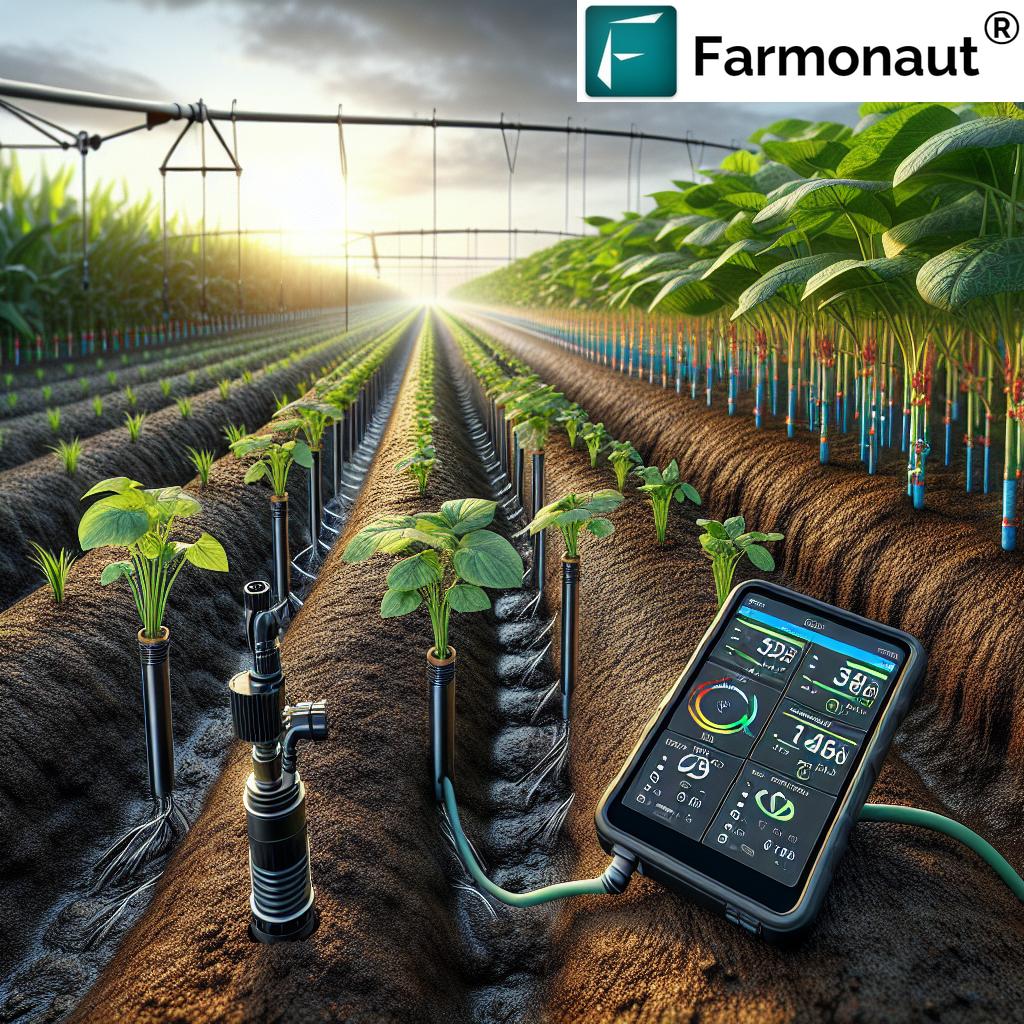
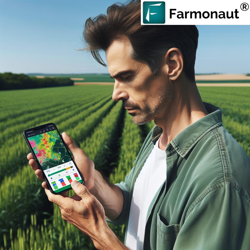
Application of IoT in Agriculture: Enabling Smart Crop & Land Management
The application of IoT in agriculture has emerged as a vital strategy for farmers striving for data-driven precision farming and sustainability. IoT (Internet of Things) is the network of connected devices—sensors, weather stations, automated controllers—distributed across farms to collect and transmit real-time data on soil moisture, temperature, humidity, crop growth, and pest activity directly to cloud-based platforms.
Real-World Uses of IoT in 2025: Data, Platforms, and Decisions
- Soil Moisture & Temperature Monitoring: IoT soil probes continuously track moisture and heat dynamics, informing irrigation schedules for ensuring optimal hydration.
- Automated Weather Measurement: Field-level weather stations give real-time context for fungal disease prediction, and enable spatially precise interventions.
- Smart Irrigation Systems: Automatic controllers use sensor data to water crops only when needed, reducing waste and conserving resources (30% water efficiency gain in top smart farms).
- Pest and Disease Detection: In-field optical or pheromone sensors monitor pest activity, sending alerts for early, targeted action.
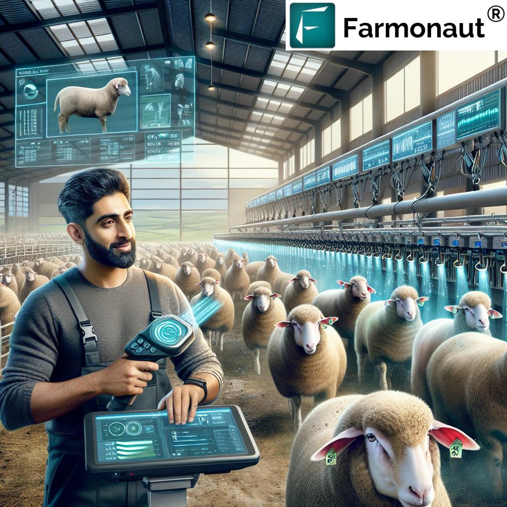
- Livestock and Equipment Tracking: IoT collars/GPS trackers optimize herd movement and machinery usage across expansive lands.
The integration of IoT with GIS allows for spatially aware decision-making, seamlessly linking live sensor feeds to location-based management maps, boosting both productivity and environmental outcomes.
How IoT Sensors Enable a New Level of Efficiency
- Distributed Sensing: Hundreds of devices across large farms offer granular data on microclimates and soil conditions.
- Integration with AI Platforms: AI-powered analytics enable predictive alerts for irrigation, fertilizer timing, and pest outbreaks.
- Automation: Systems can automatically trigger irrigation, ventilation, or crop spraying based on live data.
With climate change intensifying resource pressures, the application of IoT in agriculture in 2025 is critical for conserving water, reducing losses, and ensuring optimal yields.
For enterprises managing multiple assets, Farmonaut’s Fleet & Resource Management platform harnesses satellite and IoT data to optimize fleet utilization, reduce operational costs, and ensure efficient resource allocation in agriculture and beyond.


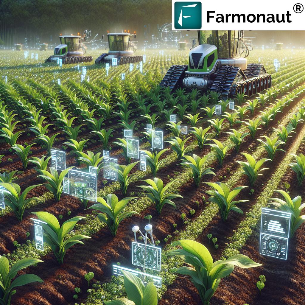
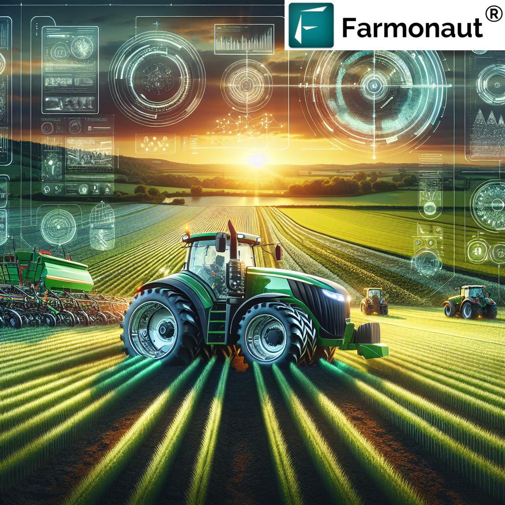
Application of Drones in Agriculture: Aerial Data for Enhanced Efficiency
The application of drones in agriculture has revolutionized precision farming through rapid, detailed data collection and targeted intervention. In 2025, drones—or Unmanned Aerial Vehicles (UAVs)—equipped with multispectral, thermal, and high-resolution RGB cameras scan fields to map soil variability, crop health, pest outbreaks, and more, all at scales and speeds previously impossible.
Key Applications of Drones in Agriculture (2025)
- High-Resolution Mapping: Identify soil zones, crop vigor variability, water stress at centimeter-level precision (enabling precision input application).
- Early Detection of Disease and Pests: Multispectral data reveals subtle canopy changes, enabling early, targeted treatment and reducing chemical use.
- Variable Rate Spraying: Drones apply fertilizer, pesticides, or biologicals only where needed, reducing environmental impact.
- Seed Planting and Reforestation: Drones broadcast seed in inaccessible terrains, aiding reforestation and cover cropping for sustainability.
- Surveillance and Security: Regular overflights for crop security, livestock monitoring, and resource management.
Boosting Efficiency and Sustainability with Drones
- Operational Efficiency: Each overflight delivers data-rich maps for planning and immediate action—instead of weeks of labor-intensive scouting.
- Resource Savings: Drones enable targeted spraying/seeding, lowering input use by up to 60%.
- Environmental Impact: By reducing runoff and over-application, drones directly support sustainable practices.
For tracking carbon footprint and implementing regenerative agriculture, drones collect crucial data on biomass, surface cover, and tillage variability—core for sustainability analytics in the age of climate change.
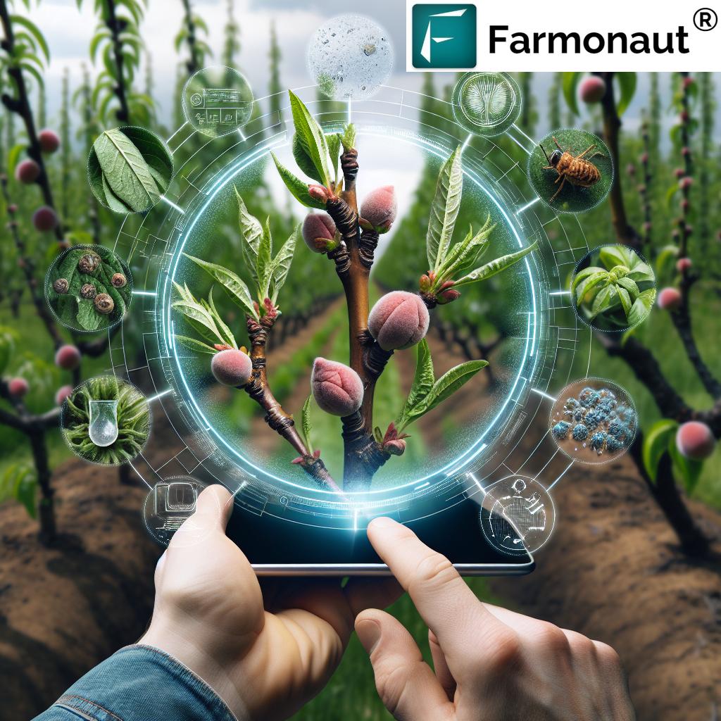
Applications of CRISPR in Agriculture: Precision Genetic Engineering
Among all the advanced technologies shaping modern agriculture in 2025, CRISPR—a revolutionary genetic engineering tool—stands out for its power to develop crop varieties adapted to local climates, resistant to pests, and optimized for nutrition and yield. Applications of CRISPR in agriculture are expanding rapidly, bringing genetic solutions for food security and sustainability challenges.
How CRISPR Transforms Crop Genetics
- Disease and Pest Resistance: Editing genes that confer immunity, minimizing pesticide dependence and increasing yield stability.
- Drought/Heat Tolerance: Inserting or tweaking genes to enable crops to thrive under climate stress and irregular rainfall.
- Improved Nutrition: Engineering crops for higher vitamin, protein, or micronutrient content—to fight malnutrition.
- Faster Breeding Cycles: Delivering new varieties adapted to regional demands in a fraction of traditional timeframes.
- Reduced Allergenicity: Safeguarding health with hypoallergenic food crops for at-risk populations.
In arid Africa and Asia, CRISPR has enabled drought-tolerant maize and rice varieties, directly supporting food security for vulnerable populations. The integration of CRISPR with GIS allows agronomists to identify optimal deployment zones—ensuring that the new genetic varieties are grown in regions where they will truly thrive.
Why CRISPR is a Game-Changer for Precision Agriculture
- Localized Adaptation: Integration of GIS and IoT data means genetic traits can be matched to very specific landscape and environmental zones for maximum efficiency.
- Reducing Losses: Yield gaps due to climate, pests, and diseases are dramatically reduced—critical for feeding a growing planet.
- Sustainability Gains: Improved resilience means less resource input (water, fertilizer, pesticide), aligning with global sustainability goals.
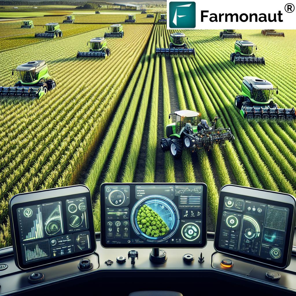
Integration & Synergy: Combining GIS, IoT, Drones, and CRISPR for Precision Agriculture
The synergy of these technologies in 2025 marks a new era for precision agriculture and sustainable land management:
- GIS forms the spatial framework, integrating data from IoT sensors, drone imagery, and environmental databases.
- IoT provides a dynamic, ground-level network of devices monitoring soil and crop conditions in real time.
- Drones deliver rapid, high-resolution aerial data for in-season adjustments and detailed land analysis.
- CRISPR-edited crops are mapped and deployed with spatial intelligence ensuring adaptation to microclimates and zones of stress.
This integrated, data-driven model maximizes productivity, resource efficiency, and environmental sustainability—critical as climate change accelerates and food security comes front and center.
Developers and enterprises can leverage our Farmonaut Satellite & Weather API to embed live geospatial intelligence and field-level analytics into their platforms and systems. Get full documentation at the Farmonaut API Developer Docs.
Spotlight: How We at Farmonaut Empower Data-Driven, Sustainable Agriculture
As a pioneering satellite technology provider, we at Farmonaut leverage the best of GIS, IoT, and advanced analytics—integrating multispectral satellite imagery, AI-driven advisory systems (Jeevn AI), and blockchain-based traceability—to deliver actionable, affordable insights for diverse users worldwide. In 2025 and beyond, this means:
- Real-Time Monitoring: We empower users to monitor crop health, soil moisture, and land use patterns remotely, enabling timely, data-driven interventions.
- AI-based Advisory: Jeevn AI turns satellite data into actionable recommendations for irrigation, fertilizer optimization, and risk mitigation.
-
Blockchain Traceability: Our traceability solutions bring transparency, authenticity, and sustainability to agri-supply chains.
Learn more about Farmonaut Product Traceability Platform. - Environmental Impact: Our technology enables measurement of carbon footprint in agriculture, helping the industry align with regulatory and market demands for sustainability.
- Fintech Integration: Using our satellite-based verification for crop loans and agricultural insurance, we help financial stakeholders reduce fraud and support farmers’ access to credit.
- Cross-Platform Access: Our solutions are live on Android, iOS, and web/browser platforms for user-friendly, anywhere access.
Farmonaut Tools & Solutions
-
Large Scale Farm Management:
Remotely monitor, analyze, and optimize multi-plot farms from a single dashboard. Integrate satellite, GIS, and IoT insights for field planning, crop performance, and input allocation. Perfect for large operations in the Midwest USA, India, and Europe. -
Carbon Footprinting:
Track emissions, land use practices, and resource consumption for agriculture and mining. Make climate-smart decisions and report sustainability benchmarks. -
Crop Loan and Insurance:
Automatic, unbiased crop verification using satellite data helps banks and insurers reduce fraud, fast-track claims, and support rural finance inclusion for millions globally. -
Product Traceability:
Blockchain solutions for farm-to-fork transparency, supply chain authentication, and regulatory compliance in agriculture and agri-food. -
Fleet Management:
Optimize agricultural fleets (tractors, harvesters, delivery) across distributed landholdings with satellite and IoT tracking.
Farmonaut Subscription Plans
We offer flexible subscription packages tailored to individual users, businesses, and institutions—for web, Android, and iOS. See our full pricing and start monitoring your land with advanced satellite insights in seconds:
FAQ – Application of GIS, IoT, Drones & CRISPR in Agriculture
What is the application of GIS in land management for agriculture?
GIS allows precise mapping and analysis of soil, irrigation, crop, and terrain data, enabling spatially optimized management decisions, reducing input waste, and improving crop yields. Modern platforms integrate real-time satellite and sensor data for critical insights.
How does IoT improve efficiency in agriculture?
IoT sensors continuously monitor soil moisture, temperature, crop health, and threats, feeding data into decision platforms. This enables smart irrigation, targeted interventions, and automation—saving resources and maximizing productivity.
What are the top benefits of drones in agriculture?
Drones provide rapid, high-resolution imagery for land analysis, crop scouting, and targeted spraying/seeding. Their data boosts early detection of issues and supports efficient, sustainable field management.
How are CRISPR-edited crops selected for specific environments?
By integrating GIS climate and soil maps with IoT data, breeders identify zones where CRISPR-edited crops’ unique traits—such as drought or pest resistance—are needed most, ensuring resilient, stable yields under challenging conditions.
How can I access real-time agricultural monitoring for my land?
We at Farmonaut offer affordable, scalable monitoring—sign up through our
web app,
Android app, or
iOS app.
Can I connect my devices and data to Farmonaut?
Absolutely—our API and
developer docs allow seamless integration for custom platforms or digital agriculture projects.
Conclusion: Enhanced Land & Crop Management for the Future
As agriculture stands at the confluence of GIS, IoT, drones, and CRISPR in 2025, the sector is empowered with unmatched capabilities for efficient crop and land management. From mapping every square meter to sensing every change, to engineering crops for local success, these technologies are essential for meeting food security, sustainability, and climate goals. The transition to a data-driven, precision agriculture system is not only possible—it is happening, led by innovative tools and platforms.
Our mission at Farmonaut is to keep satellite- and AI-driven insights accessible, scalable, and actionable for all—enabling a sustainable, resilient, and productive agricultural landscape worldwide in 2025 and beyond.