Artificial Intelligence GIS: Top 7 Applications in 2025
“By 2025, AI-powered GIS is projected to increase agricultural yield predictions by up to 40% in precision farming.”

Introduction: Artificial Intelligence and GIS in Agriculture
Artificial intelligence and GIS (Geographic Information Systems) are rapidly converging to redefine the landscape of precision agriculture in 2025 and beyond. This integration is revolutionizing how we manage agricultural lands, food production, and environmental resources. By harnessing vast amounts of spatial data—from satellite imagery to in-field sensors—and applying advanced machine learning and computer vision algorithms, we’re enabling farmers to make smarter, data-driven decisions that boost yield, optimize resource management, and foster sustainable practices.
At the core of this transformation, GIS provides a robust platform for capturing, storing, analyzing, and visualizing geographic and spatial information. When combined with artificial intelligence—including deep learning and AI-powered decision support systems—GIS becomes a truly dynamic technology capable of interpreting complex datasets such as crop health indicators, weather patterns, soil characteristics, and more.
The applications of artificial intelligence in GIS for agriculture are vast and expanding swiftly in 2025. With precision farming, monitoring, and risk assessment, AI and GIS help us confront critical challenges such as climate change, soil degradation, pest outbreaks, resource scarcity, and food security. In this in-depth blog post, we will explore the top 7 transformative applications of artificial intelligence GIS and explain how they are driving significant advancements across the agricultural sector.
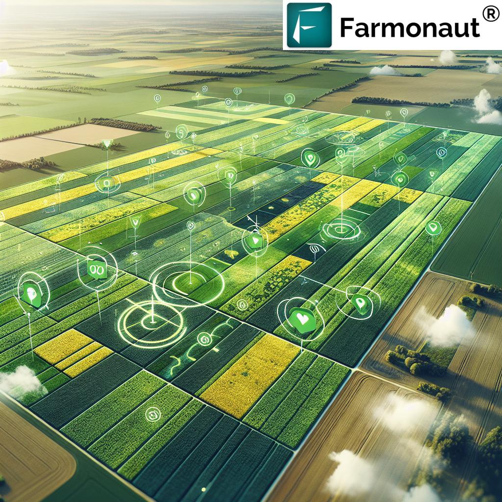
1. Precision Agriculture & Crop Monitoring: The Power of AI and GIS Integration
Precision agriculture is leading the digital transformation of farming, and at the heart of this movement are artificial intelligence and GIS technologies. This combination uses satellite images, drone and UAV (unmanned aerial vehicle) data, and spatial analytics to provide actionable agricultural intelligence.
Let’s break down how these integrated technologies are applied in 2025:
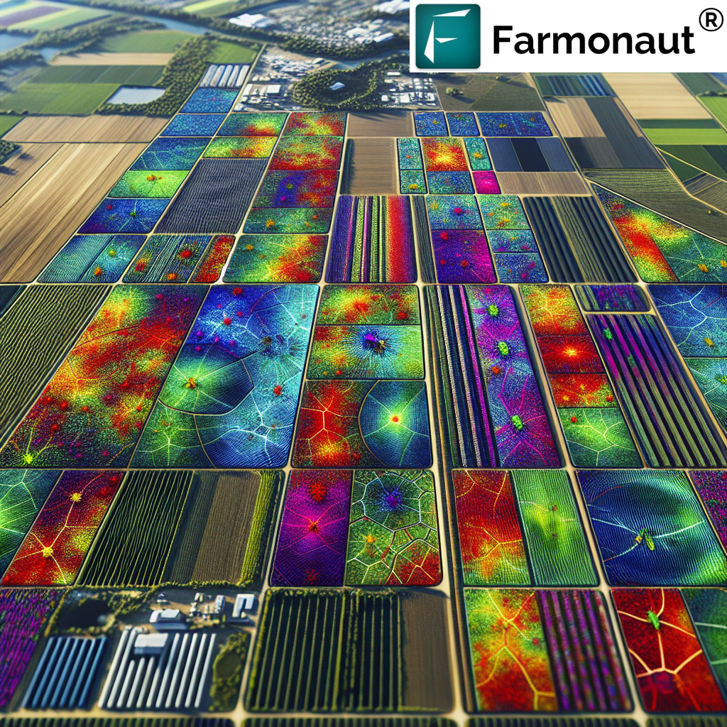
- High-resolution Mapping: AI models process multispectral satellite imagery to identify intra-field variability in soil quality, moisture, crop vigor, and nutrient deficiencies.
- Field-Scale Analysis: Within GIS platforms, deep learning algorithms analyze data to produce precise maps showing where intervention is needed—allowing for targeted application of water, fertilizers, and pesticides.
- Yield Prediction: By analyzing weather patterns, growth stage indicators, and remote-sensed images, AI-driven predictive models estimate expected yields and alert farmers about potential risks or productivity zones.
- Waste & Cost Reduction: Targeted treatments lower resource waste, minimize environmental impact, and reduce operational costs for farmers.
The Farmonaut platform plays a pivotal role here—our satellite-based crop health monitoring allows users to visualize and monitor their lands remotely, leveraging AI for field-specific recommendations. This keeps productivity high while lowering input costs and minimizing ecological harm. For a real-world walkthrough, check out our large-scale farm management tools designed for efficient and scalable farm operations.
Modern precision agriculture demonstrates the full potential of artificial intelligence GIS by improving harvest quality, saving time, optimizing resource management, and promoting sustainable agricultural practices for 2025 and the future.
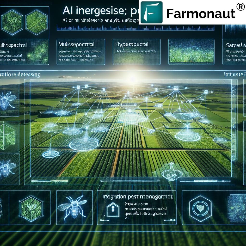
2. Disease & Pest Detection: Early Warning Systems for Healthy Crops
Crop diseases and pest infestations threaten global food security, costing billions in losses annually. Artificial intelligence and GIS now serve as early warning sentinels by detecting problems faster than ever possible before.
- AI-driven Image Recognition: Deep learning algorithms are integrated with satellite and UAV multispectral images to spot subtle signs of disease or pest outbreaks across large areas—often before symptoms are visible to the naked eye.
- GIS Mapping: Geospatial analysis pinpoints outbreak locations, tracing their spread and enabling targeted interventions.
- Risk Forecasting: By combining climatic and landscape datasets, AI models forecast where pest or disease pressures are likely to arise, helping to prevent large-scale crop damage.
- Minimized Use of Pesticides: Targeted action allows for more judicious use of treatments—reducing resistance build-up and environmental impact.
“Over 70% of large farms will use AI-driven GIS for real-time resource management by 2025.”
Our AI-powered analytics in the Farmonaut platform harness these capabilities: real-time pest and disease monitoring, spatial outbreak mapping, and instant alerts to affected growers via mobile or web. These tools empower farmers to protect yields, lower costs, and advance food security. Additionally, our traceability solutions ensure transparent supply chains even in challenging scenarios.
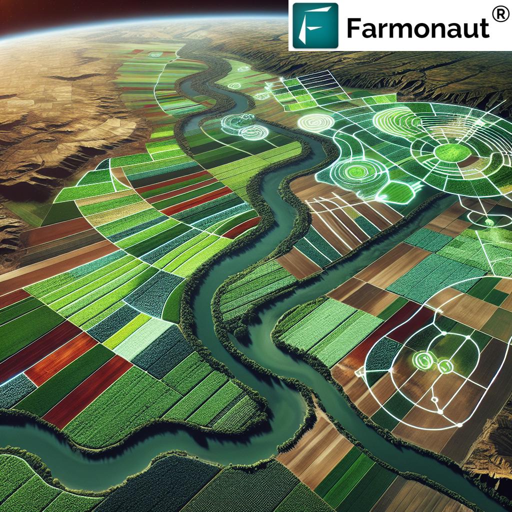
3. Soil and Water Resource Management: Smart Solutions for Sustainability
Soil health and efficient water use are the lifeblood of sustainable agriculture. Artificial intelligence in GIS applies advanced analytics to maintain soil fertility, conserve water, and keep environmental impacts in check.
- Soil Type Mapping: AI deciphers spatial characteristics of soil across fields, distinguishing types, organic matter content, and texture.
- Moisture Monitoring: Robotics and remote sensing capture variations in soil moisture, and AI models predict evapotranspiration rates for precision irrigation.
- Conservation Practice Suggestions: AI-suggested conservation strategies (like no-tillage, cover cropping, or crop rotation) are mapped for optimal site-specific impact.
- Water Resource Management: Spatial analysis combining weather, field topography, and irrigation system data identifies potential water stress and enables smart irrigation schemes.
Farmonaut’s satellite-powered tools analyze soil and water indicators, providing AI-driven, map-based recommendations for conservation and irrigation. Explore our carbon footprinting solutions to monitor environmental impact and support climate-smart agriculture.
With these AI-GIS applications, agriculture becomes more resilient—improving yields while saving precious resources and mitigating environmental risk.
4. Land Use Planning & Sustainable Farming Powered by Artificial Intelligence GIS
Land use decisions have a significant impact on food production, biodiversity, and ecosystem services. The combined force of artificial intelligence and GIS is now guiding sustainable agricultural planning on a global scale.
- Land Suitability Analysis: By analyzing historical use, soil qualities, and climate patterns, AI-powered GIS models recommend optimal uses for different zones—be it intensive crop production, agroforestry, or conservation.
- Ecosystem Services Modeling: AI-integrated GIS quantifies ecosystem benefits (e.g., pollinator habitat, carbon sequestration) and predicts the effects of land management practices.
- Biodiversity Conservation: Farm and landscape-scale planning ensures the preservation of wildlife corridors and native vegetation, reducing negative environmental impacts.
- Decision Support: For governments and large landholders, these tools inform transparent policy-making and responsible land allocation, transforming agricultural sustainability worldwide.
We offer real-time environmental tracking and spatial advisory systems to support regenerative agriculture and climate-positive strategies. Learn more about our crop, plantation, and forest advisory platform that enables holistic land management.
5. Climate Resilience & Risk Assessment with AI-GIS Integration
The agricultural sector is on the frontlines of climate volatility. AI-powered GIS is transforming risk assessment by combining climatic, geospatial, and crop data to help farmers, insurers, and policymakers make smarter, adaptive decisions.
- Weather and Climate Modeling: AI models ingest satellite observations and local sensor data to forecast droughts, floods, and temperature extremes.
- Disaster Preparedness and Insurance: Spatial risk maps inform insurance planning and disaster response frameworks, facilitating more efficient support for affected farmers.
- Resilient Crop Planning: Algorithms recommend adaptive planting schedules and suggest resilient crop varieties based on projected climatic risks.
- Global Risk Monitoring: Authorities worldwide use AI-GIS integration for proactive risk assessment and food security planning, especially important as extreme weather events become more common in 2025.
With our Jeevn AI Advisory System, users access hyper-local weather forecasts, adaptive guidance, and timely alerts. Crop loan and insurance verification are further streamlined through satellite-based risk assessment, reducing fraud and enhancing financial security for farmers and institutions.
6. Farm Equipment Automation & Robotics: Smart Operations Using AI & GIS
Autonomous machinery and robotics are driving the next leap in farm efficiency. Their success relies heavily on the precise field mapping and real-time navigation artificial intelligence GIS provides.
- Autonomous Farm Vehicles: Tractors, planters, and harvesters use real-time GIS data and AI-driven routing to navigate fields with centimeter-level accuracy.
- Smart Planting & Harvesting: AI-GIS integration enables robots to optimize planting density, adjust crop row spacing, and time harvests for maximum yield and quality.
- Fleet Management: GIS-based fleet management platforms track farm vehicles, optimize scheduling and usage, and reduce operational risks and costs.
- Resource Efficiency: Automated equipment performs tasks with fewer inputs and less overlap, cutting fuel use, emissions, and labor needs.
Our fleet management tools are designed to help modern farms and enterprises coordinate large operations safely and efficiently, all using satellite-driven intelligence and geospatial resource optimization.
7. AI & GIS for Traceability and Food Supply Chain Integrity
Ensuring food quality and safety, combating fraud, and building supply chain transparency are imperative in a globalized agricultural economy. Artificial intelligence GIS underpins traceability solutions that monitor every step from field to fork.
- Blockchain-Integrated GIS: Combining spatial data, blockchain, and AI, these systems create unbreakable chains of custody for crops and commodities.
- Food Safety: Satellite-verified field history and provenance data can be tracked and validated through the entire supply chain.
- Regulatory Compliance: Automated, AI-based reporting simplifies compliance with local and international food safety regulations.
- Consumer Trust: End-users can verify authenticity and ethical sourcing via smart tagging and geo-verified traceability.
Our blockchain-based product traceability solution delivers these capabilities, supporting producers, suppliers, and corporate buyers seeking transparency and security in agricultural supply chains.
Comparison Table of Top AI-GIS Applications in Precision Agriculture (2025)
| Application Area | AI-GIS Technique Used | Estimated Yield Improvement (%) |
Resource Savings (e.g., Water, Fertilizers) (%) |
Sustainability Impact | Example Use Cases |
|---|---|---|---|---|---|
| Precision Crop Monitoring | Deep Learning on Satellite/UAV Imagery | +15–40% | Water: 18–30% Fertilizers: 12–25% |
Reduced Input Waste, Yes |
Zonal fertilizer application, intelligent irrigation scheduling |
| Disease & Pest Detection | Image Recognition, Spatio-Climatic Modeling | +10–25% | Pesticide: 20–40% | Lower Environmental Toxicity, Yes |
Targeted pesticide application, early outbreak alerts |
| Soil & Water Resource Management | Predictive Analytics, Moisture Mapping | +8–14% | Water: 25–50% | Water Conservation, Yes |
Smart irrigation, drought resilience planning |
| Land Use Planning & Sustainable Farming | Spatial-Temporal Land Suitability Modeling | Varies (Indirect Improvement) | Land Use Efficiency: 20–30% | Biodiversity Support, Yes |
Agroforestry, zoning for conservation |
| Climate Risk Assessment | AI-Driven Weather Forecasting & Risk Mapping | Yield Loss Avoidance (5–20%) | Disaster-Related Losses: Up to 40% | Climate Resilience, Yes |
Insurance validation, disaster preparedness |
| Farm Automation & Robotics | GIS-Guided Navigation, AI Scheduling | +10–20% | Labor: 30–70% | Reduced Carbon Footprint, Yes |
Autonomous tractors, optimized planting |
| Supply Chain Traceability | AI + Blockchain-Integrated GIS | Quality Retention in Value Chain | Loss/Fraud Reduction: 20–40% | Enhanced Transparency, Yes |
Provenance validation, supply chain monitoring |
Farmonaut Video Tutorials & Resources
Learn how to unlock the full potential of AI and GIS for agriculture with Farmonaut’s expert resources:
-
Web App Video Guide:
Farmonaut Web System Tutorial: Monitor Crops via Satellite & AI -
AI Satellite & Weather Insights:
JEEVN AI: Smart Farming with Satellite & AI Insights -
Drone Power in Precision Agriculture:
How AI Drones Are Saving Farms & Millions in 2025 ? | Game-Changing AgriTech You Must See! -
Regenerative Agriculture Explained:
Regenerative Agriculture 2025 ? Carbon Farming, Soil Health & Climate-Smart Solutions | Farmonaut -
In-Action Demonstrations:
Farmonaut® Satellite Based Crop Health Monitoring -
GIS and Remote Sensing in Pest Management:
Revolutionizing Agriculture: From Pest Control to Smart Farming With GIS and Remote Sensing -
Soil Moisture Monitoring:
Satellite Soil Moisture Monitoring 2025 – AI Remote‑Sensing for Precision Agriculture -
The Future of Smart Farming:
The Future of Farming: Satellites, AI, and Geotagging – Farmonaut’s Bold Vision!


Developers: Access our data and integrate artificial intelligence GIS features using the Farmonaut API and consult the Farmonaut Satellite Weather API Developer Docs.
About the Farmonaut Platform
Farmonaut is at the forefront of artificial intelligence and GIS technologies, democratizing advanced satellite insights for agriculture, mining, infrastructure, and intelligence worldwide. Our platform integrates satellite imagery, AI, blockchain, and advanced analytics to deliver actionable insights for users, businesses, and governments—making intelligent resource management accessible and affordable globally.
- Satellite Monitoring: Real-time remote crop, soil, and environmental analysis, helping to inform smarter farming and land management decisions.
- JEEVN AI Advisory: Our AI-driven advisory system delivers custom recommendations, weather forecasts, and operational guidance for agriculture and more.
- Blockchain Traceability: Enabling end-to-end supply chain transparency and authenticity in product movement from field to market.
- Fleet & Resource Management: Optimize vehicle usage, reduce costs, and ensure safe, efficient operations with advanced, AI-powered GIS fleet tools.
- Environmental Monitoring: Real-time tracking of carbon emissions and environmental impact for sustainable agricultural and mining practices.
Key Farmonaut Benefits
- Affordable, scalable solutions for individual users, enterprises, and government applications
- Enhanced productivity and yield improvements via real-time insights
- Sustainability-driven tools for climate and conservation planning
- Comprehensive transparency through blockchain-based traceability
- Improved access to credit and insurance verification with satellite validation
- Flexible APIs for developers to integrate satellite and AI insights into existing platforms
Farmonaut Subscription Options
Choose a subscription tailored to your agricultural monitoring, intelligence, or resource management needs. See below for our current subscription pricing:
Frequently Asked Questions (FAQ): Artificial Intelligence GIS in Agriculture
- What is artificial intelligence GIS and how does it benefit agriculture?
- Artificial intelligence GIS refers to the integration of AI algorithms (such as deep learning, predictive analytics, and computer vision) with Geographic Information Systems to collect, analyze, and visualize spatial agricultural data. It enables precise crop monitoring, optimized resource management, and smarter decision-making—helping farmers boost yields, conserve resources, lower costs, and implement sustainable practices using real-time data.
- How do AI and GIS help with disease and pest detection in 2025?
- AI-powered image recognition, integrated with spatial GIS mapping, quickly detects early signs of crop diseases and pest outbreaks using drone or satellite imagery. These platforms forecast risk zones, enable targeted interventions, and significantly prevent widespread crop damage.
- Can artificial intelligence GIS improve water and soil management?
- Absolutely. AI-GIS tools analyze soil type, organic matter, and moisture, while predicting irrigation needs and optimizing water use. This ensures resource conservation, minimizes losses, and supports the adoption of climate-smart practices.
- What are some examples of sustainable farming made possible with AI-GIS?
- Examples include spatial land use planning for conservation, mapping and management of ecosystem services, climate risk assessment, and integrating regenerative agriculture practices. Our platforms enable data-driven plans that preserve biodiversity and support land sustainability goals.
- Does Farmonaut provide real-time field monitoring to individual farmers?
- Yes, our satellite-based platform offers real-time crop health, soil, water, and environmental data directly to individual users through web and mobile apps, making precision agriculture accessible to all scales.
- Is the Farmonaut API available for integration?
- Yes! Developers can use our Farmonaut API to access, analyze, and visualize agricultural and environmental data. See our API documentation for full integration guidelines.
Conclusion: The Future of Artificial Intelligence GIS in Agriculture
The convergence of artificial intelligence and GIS in 2025 is nothing short of a revolution for agriculture and food production. From precision crop monitoring to real-time disease detection, smart water management, climate resilience, and supply chain traceability, the applications of artificial intelligence in GIS are driving significant advancements in resource efficiency, sustainability, and yield optimization worldwide.
As these technologies continue to mature, their transformative impacts—higher productivity, lower environmental risk, enhanced transparency, and cost-effectiveness—will further empower farmers, enterprises, and policymakers. Farmonaut remains committed to making these robust, AI-powered, and geospatial solutions affordable and accessible for all, supporting sustainable food production and intelligent land stewardship for the years ahead.
Explore the future of agriculture with Farmonaut’s AI-driven GIS tools, available on web, Android, iOS, and API platforms—empowering your agricultural journey with smart insights and sustainable results.