
Soil conservation · Slope comparison guide
Contour Ploughing vs Terrace Farming: Costs and Slopes
Contour ploughing works the soil across the slope (P factor 0.50 in Ontario’s method); terraces are built ridges that shorten the slope. See how slope, spacing and dated US payment rates compare.
Key takeaways
- Contour farming has a support-practice factor of 0.50 in Ontario’s soil-loss method, and contour strip cropping 0.25 (OMAFA, 2026 update).
- Iowa NRCS caps maximum graded narrow-base terrace spacing at 400 ft on 0-4% slopes and 120 ft at 15-18% (K 0.37, R 140), so steeper land needs many more terraces.
- Pennsylvania NRCS FY2026 payment rates: contour farming US$8.75 per acre; terraces US$2.56 to US$3.55 per foot, about US$1,100 to US$1,550 per acre at 100 ft spacing.
- US cropland water erosion fell from 3.89 to 2.67 tons per acre per year between 1982 and 2022 (USDA NRI).
- Contour farming is used as a support practice in only eight EU countries, on very steep slopes (JRC study, 2015).
In this article
- Contour ploughing and terrace farming: the main differences
- How contour ploughing works
- How terrace farming works
- How much erosion each one prevents
- What contour ploughing and terraces cost
- Strip cropping and buffer strips
- How to choose between them
- Common mistakes to avoid
- Design, layout and upkeep with digital maps
- Cover crops, residue and other support
- Payments, limits and local rules
- FAQ
- How we checked the numbers
Contour ploughing and terrace farming both stop water running straight down a slope, but they do it at very different scales. Contour ploughing means tilling and planting across the slope, so the ridges and furrows slow runoff. Terrace farming means building earth ridges and channels across the field, which cuts the length of the slope water can run. In the Ontario Ministry of Agriculture’s soil-loss method, contour farming has a support-practice factor of 0.50 (half the loss of up-and-down rows), and contour strip cropping has 0.25. Terraces cost far more to build.
This guide sets the two side by side: slope limits, erosion numbers, dated US payment rates, and a calculator for the cost of each ton of soil kept in place. It is written for farmers and landowners in the US, Canada, Europe and Australia. For background, see our pages on what contour ploughing is and its disadvantages and the definition of farm terraces.
Contour ploughing and terrace farming: the main differences
Choose by slope, soil, rainfall and budget. Contour plowing is a change in how you work the field. Terracing is a construction job that changes the shape of the land. The table sets out what the sources say about each.
| Question | Contour plowing | Terrace farming |
|---|---|---|
| What it is | Tillage and planting across the slope, so ridges and furrows sit near the contour (NRCS standard 330) | An earth ridge or ridge-and-channel built across the slope (NRCS standard 600) |
| What it changes | Direction of runoff and roughness of the surface | Slope length, and where runoff is carried |
| Erosion factor (P) | 0.50, or 0.25 with strip cropping (OMAFA, Ontario) | Set by the design; ask your NRCS or local office to run the model |
| Slope range cited | Some EU states require contour tillage above about 10 to 20% slope (Panagos et al., 2015); no single limit applies | Iowa NRCS allows broadbase terraces only to 6% slope; other types go steeper. Queensland advises contour banks (earthworks) on cropping land at 1% slope or more |
| Cost basis | US$8.75 per acre payment rate (Pennsylvania NRCS, FY2026) | US$2.56 to US$3.55 per foot payment rate (same list) |
| Upkeep | Re-mark lines, keep rows on contour, clear low spots | Check ridge height, clear inlets and channels (Iowa State) |
The two are not rivals. The USDA’s RUSLE chapter on support practices notes that contouring almost always goes with strip cropping and terraces, and that the overall P factor is the product of the practices used together (USDA NRCS, RUSLE chapter 5). Terraces still need the crop rows to run along them.
How contour ploughing works
When tillage follows the contour, the ridges redirect runoff around the hillslope instead of straight down. The USDA’s RUSLE support-practice chapter explains that high tillage ridges keep water inside the furrows, which cuts the grade along the flow path and the water’s power to detach and carry soil. It also warns that tillage is seldom exactly on the contour, and that water collecting in low areas can overtop ridges and form rills (USDA NRCS, RUSLE chapter 5, support practice factor).
That last point matters on real farms. A contour pass that drifts off line moves water sideways into one low spot, where it can cut a gully. Rows should be laid out from a map of the slope, not by eye, and re-checked after the first heavy storm.
Where contour ploughing is used
Contour work is the low-cost step on gentle to moderate slopes. In Queensland, the general recommendation is that cropping land with a slope of 1% or more should have contour banks (earthworks, closer to terraces than to contour tillage), and a 2022 Department of Primary Industries analysis of the Fitzroy Basin mapped how much cropping land above 1% slope has no banks (Queensland DPI, Fitzroy Basin report, 2022). In Europe the practice is rare: a JRC study found contour farming is used as a support practice in only eight EU countries, and only on very steep slopes (Panagos et al., Environmental Science and Policy, 2015).
How terrace farming works
A terrace breaks one long slope into several short ones. The Ontario fact sheet says terraces may be built to reduce slope length, which lowers soil loss, but that they need extra investment and cause some inconvenience in farming, so other soil conservation practices should be tried first (OMAFA, Universal Soil Loss Equation, updated 2026).
Iowa State’s extension notes that terrace types (narrow-based, broad-based or terrace channels) can be matched to the soil, and that properly built terraces in Iowa are usually engineered for a 10-year storm without overtopping. Severe overtopping can erode the terrace and call for large repairs (Iowa State University Extension). Some terraces also carry water away underground through standpipes and tile, which is why inlets must be kept clear.
Slope limits and spacing
Spacing falls quickly as the land gets steeper. The Iowa NRCS technical guide lists the maximum spacing for graded narrow-base terraces on soil with a K value of 0.37 (rainfall factor R of 140) as 400 feet on 0 to 4% slopes, 350 feet at 5 to 8%, and only 120 feet at 15 to 18%. The same table marks broadbase terraces as not allowed from 7% upward, and the guide recommends keeping steep-front, farmable-backslope terraces to slopes of 6% or less (USDA NRCS Iowa, Engineering Handbook chapter 8, amended April 2025).
In Western Australia, grade banks are usually designed as a set on the middle and upper slopes of hills with a slope of 2% to 10%, and broad-based banks are preferred so machinery can cross them (WA Department of Primary Industries and Regional Development). Local rules and soils change these limits, so treat them as examples.
Chart
Maximum graded-terrace spacing in Iowa
feet between terraces; narrow-base, soil K 0.37, rainfall factor R 140; slope classes in percent
How much erosion each one prevents
Soil-loss models give one clear way to compare. In the Ontario version of the equation, soil loss is the product of rainfall, soil, slope, crop, tillage and support-practice factors. The support-practice factor P is the ratio of soil loss with the practice to soil loss with rows running up and down the slope. The chart shows the values the fact sheet gives.
Chart
Support-practice (P) factor by practice
Ontario method; 1.00 = rows up and down the slope; lower means less soil loss
Two cautions apply. First, P is only one of several factors, so the practice that gives the lower P does not remove a problem caused by bare soil or very long slopes. Second, these are model values, not field measurements. They help you compare options; they do not forecast your field. The EU shows how limited the effect can be at scale: contour farming, stone walls and grass margins together lower the EU’s modelled erosion risk by only about 3%, and grass margins give 57% of that reduction against 38% for stone walls (Panagos et al., 2015).
Erosion on US cropland over time
Erosion on US cropland has fallen. The USDA’s 2022 National Resources Inventory reports that cropland water erosion (sheet and rill) fell from 3.89 tons per acre per year in 1982 to 2.67 in 2022, while wind erosion fell from 3.24 to 2.08 (USDA NRCS, 2022 NRI Summary Report). Ontario treats about 3 tons per acre per year (6.7 tonnes per hectare) as the tolerable soil loss for most of its soils, though the fact sheet notes a scientific debate and that some studies argue for 0.5 to 1.0 tons per acre.
In the EU, 5.1% of non-artificial erodible land was at risk of severe water erosion in 2023, meaning modelled soil loss above 10 tonnes per hectare a year; the share was 24.4% in Italy, 19.0% in Slovenia and 15.3% in Austria (Eurostat, 2023 data). These are model estimates, not measurements.
Chart
US cropland erosion, 1982 vs 2022
tons per acre per year, national average on cropland
What contour ploughing and terraces cost
Costs depend on the soil, the machinery, the contractor and the program. One public set of figures is the payment rates that NRCS sets for its cost-share programs. These are payment rates for the program, based on average costs, not receipts from a farm. The Pennsylvania list below is dated March 2026 and expired on 30 September 2026, so newer rates may differ; check your own state’s current schedule.
Chart
NRCS FY2026 payment rates per acre
US$ per acre; terraces converted at 100 ft spacing (436 ft per acre); Pennsylvania list, 11 March 2026
On Pennsylvania’s FY2026 list, contour farming (practice 330) is paid at US$8.75 per acre, stripcropping (585) at US$16.02 per acre, and contour buffer strips (332) on native species at US$559.89 per acre as foregone income. Terraces (600) are paid per foot of terrace: US$2.56 for broadbase and US$3.55 for flat channel (NRCS Pennsylvania, bulletin PA 440-26-06, 11 March 2026). A foot rate is hard to compare with an acre rate, so the chart converts terraces to a per-acre figure at a spacing of 100 feet, which means about 436 feet of terrace per acre.
Prices are list payment rates, not what a contractor will quote. Rates differ by state and year, and some practices have higher rates for historically underserved producers.
Cost per ton of soil kept in place
The calculator below turns these rates into a cost per ton of soil saved. It uses your own acreage, terrace spacing, soil loss and support-practice factors. Use today’s quotes from your contractor or local NRCS office, and ask your local office for the P factor that fits your design.
A worked example
Take the calculator’s example values: 40 acres, terraces 100 feet apart, US$3 per foot for terraces, US$9 per acre for contour work, a baseline loss of 10 tons per acre per year with rows up and down the slope, a contour P of 0.50, a terrace-and-contour P of 0.20, and a 20-year life. Terraces need about 17,400 feet and US$52,000. Contouring costs US$360. Contouring keeps 200 tons a year in place and terraces 320 tons. Over 20 years that is about US$0.09 a ton for contouring and about US$8 a ton for terraces. The extra 120 tons a year from terraces costs about US$22 per extra ton. These are example inputs, not a forecast. If the terrace P you enter is higher, or the slope lower, the terrace looks worse; with steeper land and a high baseline loss, it looks better.
Try the numbers for your own farm below.
Calculator
What does each ton of soil kept in place cost?
Enter your own acreage, spacing, costs and soil loss.
- Terrace length needed: 17,424 ft
- Terrace cost, total: $52,272
- Contour cost, total: $360
- Soil kept per year, contour: 200 tons
- Soil kept per year, terraces: 320 tons
- Cost per ton kept, contour: $0
- Cost per ton kept, terraces: $8
Example values only, not a benchmark or forecast; price inputs are examples, use today’s quotes. Terrace feet per acre = 43,560 divided by spacing. Soil saved = baseline loss x (1 minus P). The P factors are inputs: contour 0.50 is the Ontario (OMAFA) value; enter your own terrace P from a soil-loss model run. Costs exclude land taken out of crops, upkeep and design fees. If the terrace P is not lower than the contour P, the headline shows 0: terraces keep no extra soil at these values.
Strip cropping and buffer strips
Strip cropping sits between the two. Bands of row crop alternate with grass or hay across the slope. The Ontario table gives contour strip cropping a P of 0.25 against 0.50 for contour farming alone, and cross-slope strips 0.37. On Pennsylvania’s list strip cropping is paid at US$16.02 per acre, about twice the contour farming rate.
Contour buffer strips are permanent grass bands within a field. They take land out of crop use, which is why the payment rate is a foregone-income figure and much higher per acre. Many farms combine contouring with strips or a grassed waterway and keep terraces for the steepest fields. A cover crop or residue after harvest adds protection that P does not capture, because the model counts it in the cover-management factor instead.
How to choose between them
Work through these steps with your local conservation office.
- Measure the slope and the slope length for each field, in sections of even grade.
- Find your soil erodibility (K) and rainfall factor from local data, and run the soil-loss model for up-and-down rows as a baseline.
- Test contouring alone, then contouring with strips, then terraces. Compare the soil loss with the tolerable soil loss for your soil.
- Check the machinery. Terrace ridges and tight curves need farm equipment that can cross or follow them safely.
- Ask which programs pay part of the cost, and apply before you start work.
- Plan for upkeep. Terraces need clear outlets and intact ridges, and contour lines need re-marking after tillage.
Contouring is the usual first step on gentle slopes. Terraces come into the picture when the model says soil loss is still above what the soil can tolerate, or when slopes are long and steep.
Common mistakes to avoid
Many problems come from layout and upkeep, not from the idea. Rows that drift off the contour send water to one low spot. Outlets that end on bare soil start a gully. Tillage that lowers a terrace ridge year after year removes the height the design relied on, which is why Iowa State tells owners to check ridge height and to avoid moving soil off the ridge. Sediment that fills a channel cuts its storage, and a blocked standpipe can overtop a terrace in the next storm.
Another mistake is to compare the practices on cost alone. A terrace that keeps a steep field in production may be worth far more than its cost per ton suggests, while a terrace on a gentle slope that contouring already protects adds cost for little gain. Use the soil-loss model for your own field, then compare the cost of each ton kept in place against the tolerable loss for your soil.
Lastly, do not assume that a practice built years ago still works. Check old terraces and contour lines after any year with heavy rain, and keep a photo record. A simple log of dates, rainfall events and repairs helps when you apply for program support, because many programs ask you to show that a practice has been maintained for its stated life.

▶ Can satellites see through clouds? Why radar imagery helps in cloudy weather. · 2:37
Design, layout and upkeep with digital maps
Good layout starts with an elevation map and ends with a check after the first storm. Sharp bends are a common problem: a contour line that turns tightly is hard to farm and tends to channel water. Smooth the lines, mark outlets, and keep grass in the places where water leaves the field.
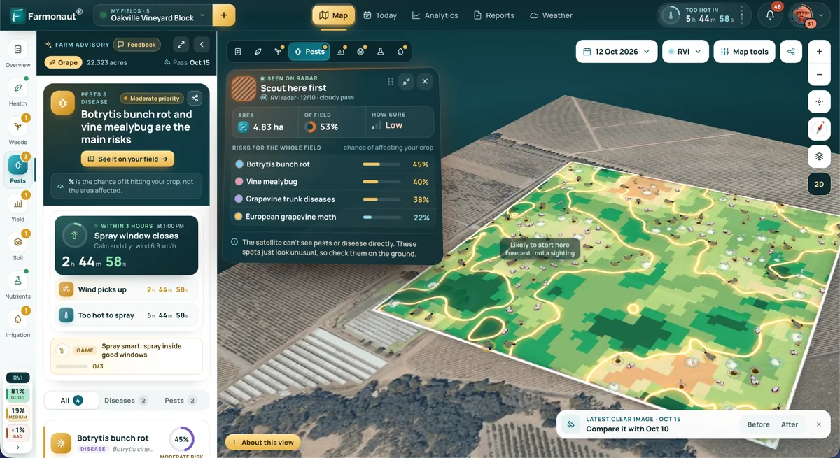
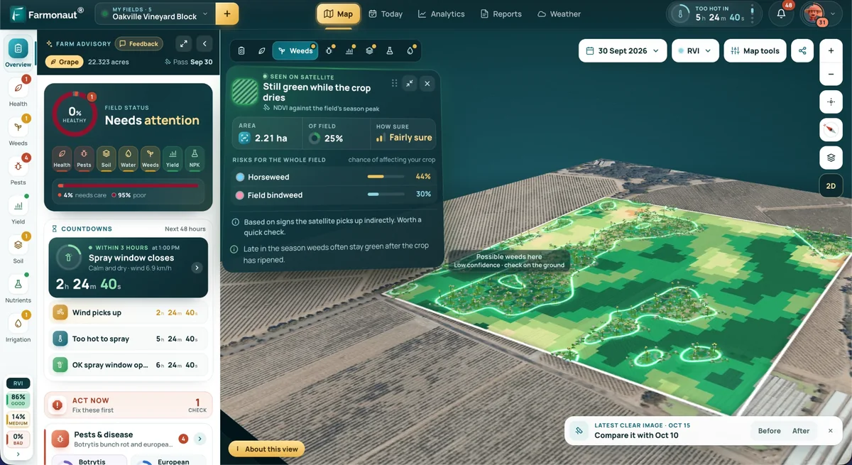
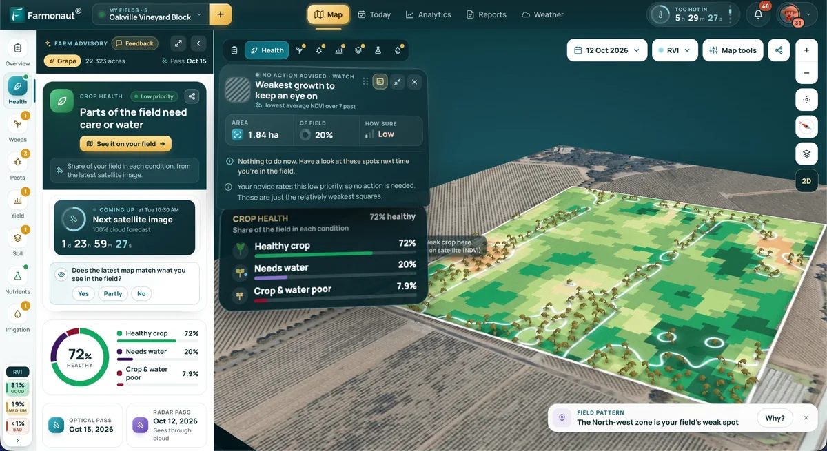
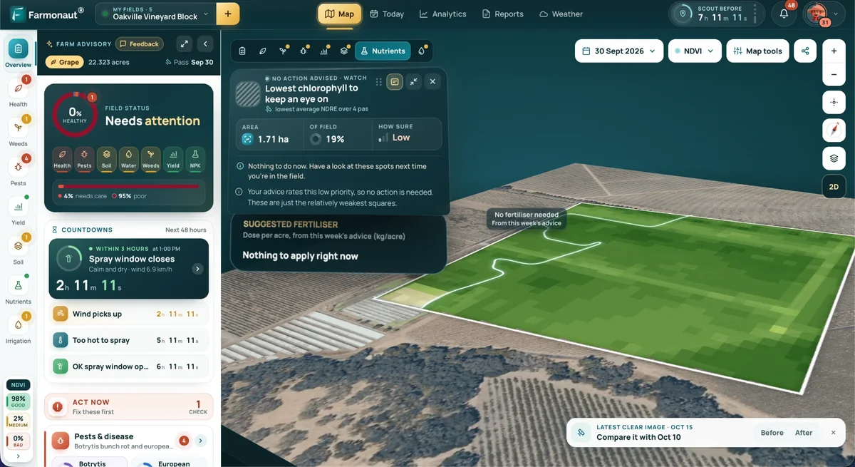
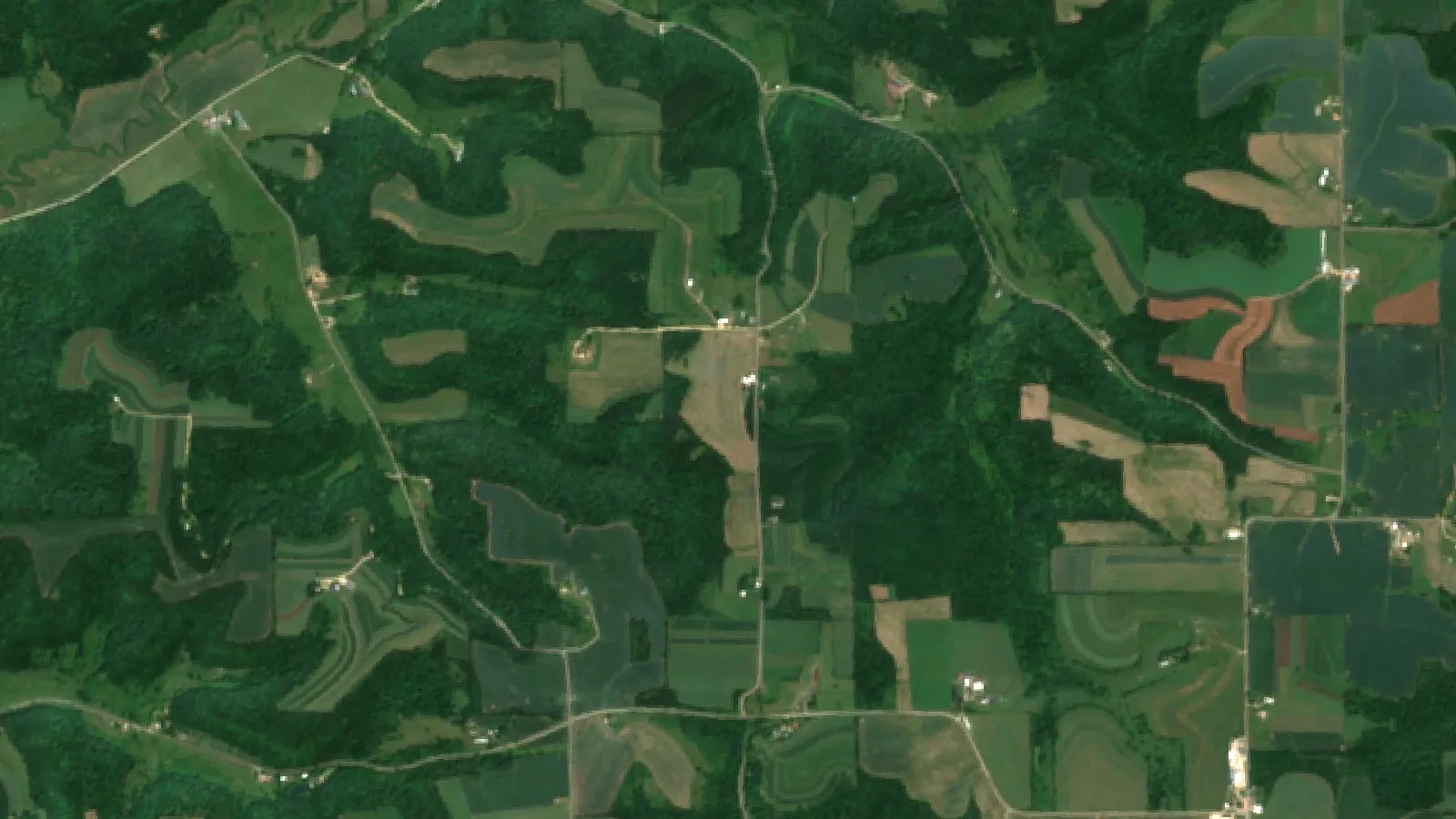
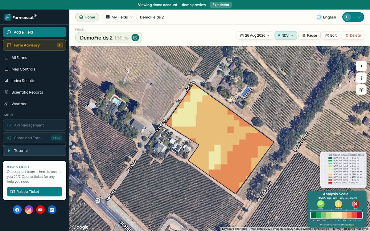
Satellite images do not measure soil loss, but they show where crops are weak or the field is bare after heavy rain, which tells you where to walk the field. Farmonaut Satellite + AI Farm Monitoring System gives vegetation maps of a field over time, which can point to weak or bare patches; the cause still needs a visit to the field. See the API and developer docs for map and weather data, and the Farmonaut app for field monitoring.
After a heavy storm
- Look for rills running across contour lines or pooling at one low spot.
- Check that terrace channels have drained within about two days; Iowa State advises checking inlets and tile if they have not.
- Repair low spots in terrace ridges and re-seed bare grass.
- Clear silt from channels, since sediment cuts water storage.

▶ Precision agriculture for beginners: six plain steps to start digital farming. · 4:18
Cover crops, residue and other support
Support practices work with, not instead of, cover and residue. The P factor does not count no-till, residue or sod-based rotations; the USDA’s RUSLE chapter says these are handled in the cover-management factor. A field with contour rows and a cover crop therefore gets credit from two different factors.
For related reading, see our guides to cover crops for erosion control and other ways to protect soil from erosion, and farm practices that improve soil fertility.

▶ Seven green farming technologies that save water, fuel and fertilizer. · 2:24
Payments, limits and local rules
Many countries share part of the cost of conservation earthworks, but programs open and close and the rates change. In the US, check with your local NRCS office. In Europe, check your national rules under the Common Agricultural Policy, and in Australia, your state agency. Earthworks can affect neighbours, drainage and protected land, so get engineered design where the practice calls for it. Terraces, outlets and anything that moves water need professional advice and any local permit. Follow the local rules for water, and check the label for any herbicide or fertilizer you apply on strips or terraces.
Sizing and plans are a job for an agricultural engineer or your conservation district. The numbers here are for comparison only.
Related pages on our site: crop loan and insurance, fleet management, large-scale farm management, product traceability and carbon footprinting.
FAQ
Are contour ploughing and terrace farming the same?
No. Contour ploughing is a way of working the soil across the slope. Terrace farming is an earthwork: ridges and channels built across the slope. NRCS lists them as separate practices, standards 330 and 600, and they are often used together.
Which is cheaper, contour plowing or terraces?
Contour plowing, by a wide margin. The Pennsylvania NRCS list for FY2026 pays US$8.75 per acre for contour farming and US$2.56 to US$3.55 per foot for terraces. At 100 feet between terraces that is roughly US$1,100 to US$1,550 per acre. These are program payment rates, not contractor quotes.
How steep a slope can contour plowing handle?
There is no single limit. Row length and ridge height matter as much as the percent slope, and runoff that overtops a ridge can form rills. Model values for contour P depend on slope, rainfall and ridge height in the USDA method, so ask your local office rather than use a fixed number.
Can I use both on the same field?
Yes. The USDA chapter says contouring almost always accompanies stripcropping and terraces, and the overall P factor is the product of the practices used.
Do terraces need outlets?
Yes. Iowa State Extension says some terraces carry water underground through standpipes and tile, so inlets must be kept clear of residue and damage, and terraces that have not drained within about two days after normal rain should be checked.
Does contour farming work in Europe?
It is used in a small number of countries. The JRC modelling study found that contour farming is a support practice in only eight EU countries, and only on very steep slopes, while grass margins and stone walls account for most of the modelled gain.
How we checked the numbers
We used official and peer-reviewed sources opened in October 2026: OMAFA (Ontario), USDA NRCS (RUSLE chapter, Iowa technical guide, Pennsylvania payment list and the 2022 NRI), Iowa State University Extension, the European JRC study, and two Australian state agencies. Payment rates are list rates from one state and may differ in yours. Model P factors compare options and are not a measurement for your field.
Farmonaut crop monitoring
See your slopes from space
Farmonaut Satellite + AI Farm Monitoring System shows vegetation patterns across a sloping field over the season.



Keep reading
Sources
- OMAFA (Ontario), Universal Soil Loss Equation (updated 2026): ontario.ca
- USDA NRCS, RUSLE chapter 5, Support practice factor (P): efotg.sc.egov.usda.gov
- Iowa State University Extension, Install and maintain terraces for conservation: crops.extension.iastate.edu
- USDA NRCS Iowa, Engineering Handbook chapter 8 Terraces (April 2025): directives.nrcs.usda.gov
- USDA NRCS Pennsylvania, bulletin PA 440-26-06 (March 2026): nrcs-prod.azureedge.us
- USDA NRCS, 2022 National Resources Inventory Summary Report: nrcs-prod.azureedge.us
- Panagos et al., Environmental Science and Policy (2015), P-factor in Europe: research.vu.nl
- WA DPIRD, Grade banks for managing surface water: dpird.wa.gov.au
- Queensland DPI, Slope and contour bank prevalence, Fitzroy Basin (2022): era.dpi.qld.gov.au
- Eurostat, Agri-environmental indicator – soil erosion: ec.europa.eu
Discussion
Questions, corrections or field experience? Share them below. First-time comments are reviewed before they appear, and your email is never published.
No comments yet. Be the first to add a question or your experience.

 FCF India
 Rashail Infotech
 Unifrutti Gulf
 Deluxe Conseil
 TVS Electronics
 BW Pipelines
 WICO
 Gen Chayat
 Chimera Innovation
 SkyHarvest
 Polaris Digitech
 Teledarbas
 Wild Oak Farm
 SFX
 Doodlakine
 Exurbia Geospatial

 Licence holder · Niger · Gold