GPS Applications in Agriculture: 7 Key Benefits 2025
“Over 70% of modern farms use GPS-guided equipment to optimize planting and harvesting accuracy.”


Table of Contents
- Introduction: The GPS Transformation of Agriculture in 2025
- What is GPS in Agriculture?
- How Does GPS Work in Agriculture?
- GPS Applications in Agriculture: 7 Key Benefits
- 1. Precision Mapping and Field Analysis
- 2. GPS Guidance for Farm Machinery
- 3. Variable Rate Technology (VRT) for Input Management
- 4. Yield Monitoring and Mapping
- 5. Precision Agriculture with Remote Sensing and Drones
- 6. Fleet and Resource Management
- 7. Compliance, Environmental Monitoring, and Traceability
- Benefits Comparison Table: GPS Agriculture in 2025
- Future Trends: GPS, AI and the Next Wave of Precision Agriculture
- FAQs – GPS Applications in Agriculture
- Conclusion
- Farmonaut Subscriptions
Introduction: The GPS Transformation of Agriculture in 2025
The application of GPS in agriculture has fundamentally transformed the way farming is practiced. In 2025, the landscape of modern farming is defined by a technological revolution—one powered by data-driven practices, precision tools, and the seamless integration of GPS with digital platforms, artificial intelligence, and the Internet of Things (IoT).
This article explores and highlights the key benefits of GPS applications in agriculture, examining how farmers worldwide use this technology to boost productivity, slash costs, and promote sustainability. By the end, you’ll understand why GPS is now an integral part of precision farming—and how it will only become more profound in the coming years.
“GPS technology can reduce fertilizer waste by up to 30% through precise field mapping and application.”
What is GPS in Agriculture?
GPS—the Global Positioning System—is a satellite-based navigation tool that provides highly accurate location data anywhere on earth. Originally developed for military use, GPS is now woven into the fabric of many sectors. Its application in agriculture has proven particularly profound, enabling farmers to perform field operations with precision that was unimaginable just decades ago.
- What makes the agriculture application of GPS special? It shifts the paradigm from treating entire fields uniformly to making data-driven decisions about where, when, how much, and with what accuracy agricultural inputs—such as seeds, fertilizers, and pesticides—are applied.
- Result: This new application agriculture approach conserves resources, increases yields, and reduces costs, paving the way for sustainable and responsible practices worldwide.
How Does GPS Work in Agriculture?
The core of GPS agriculture application lies in the ability of devices to receive satellite signals and precisely calculate locations—down to centimeter-level accuracy using real-time kinematic (RTK) corrections. This serves as the backbone for a suite of systems and agricultural applications:
- Guidance and Steering Systems: For tractors and machinery to follow exact paths.
- Mapping and Field Analysis: To create geospatial maps for soil variations, moisture, and peculiarities.
- Variable Rate Technology (VRT): Integrating real-time data to adjust inputs across a field.
- Yield and Disease Monitoring: For identifying zones that need special attention.
- Remote Sensing, Drones, and AI Platforms: For large-scale monitoring and instant alerts on weather, crop health, pest infestations, and more.
GPS Applications in Agriculture: 7 Key Benefits
Let’s delve deeper. Below, we highlight the seven core benefits of gps applications in agriculture, giving examples, estimated industry figures, and their impact on modern farming practices.
1. Precision Mapping and Field Analysis
Primary Focus Keyword: application of gps in agriculture, gps applications in agriculture
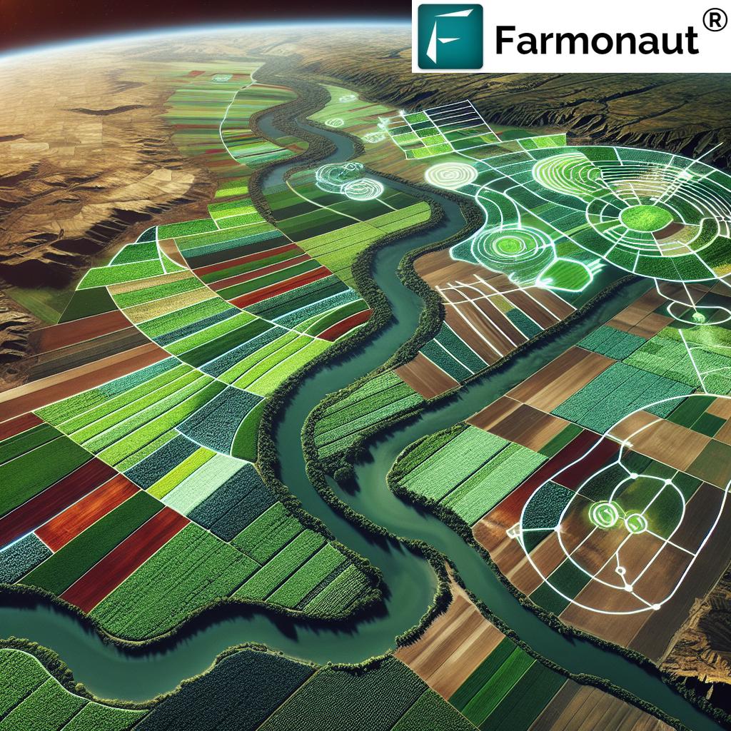
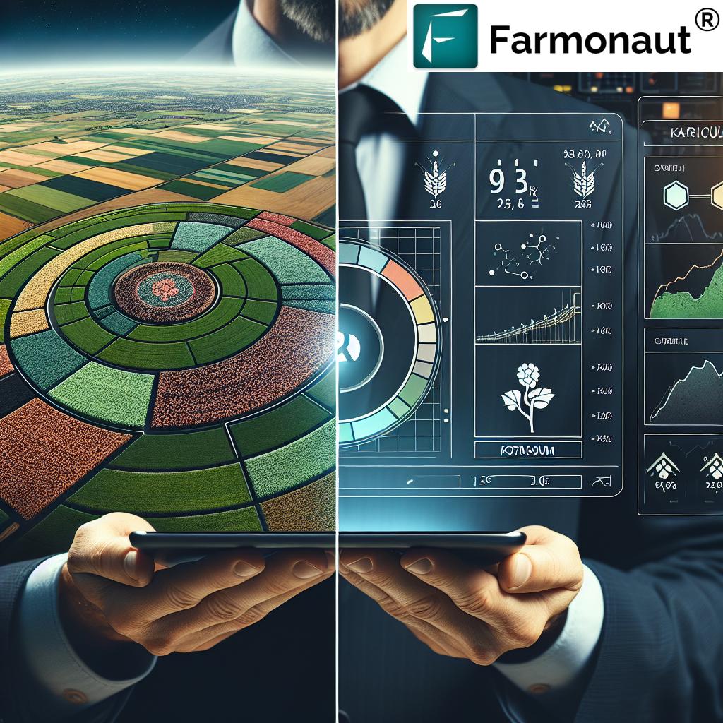
- Description: GPS enables farmers to create detailed maps of fields, identifying soil fertility, moisture variations, nutrient deficiencies, and pest infestations. These geospatial maps provide data for precision planning—every square meter is evaluated for specific needs.
- Why it matters: Unlike traditional farming that treats fields uniformly, gps applications in agriculture allow tailored management decisions that reduce inputs and conserve resources.
- Industry Figures: Precision mapping is estimated to increase yields by 6–10% and reduce fertilizer waste by 20–30% (source: industry reports 2024).
Farmonaut’s satellite monitoring toolkit integrates multispectral imagery for soil health mapping and crop stress detection, accessible via web or mobile app. This empowers users to make data-driven decisions on field variability, optimize inputs, and manage resources.
2. GPS Guidance for Farm Machinery
Focus Keywords: gps guidance, application of gps in agriculture, field operations
- Description: GPS-guided systems on tractors and machinery enable highly accurate navigation—with RTK, accuracy reaches down to 2–3 cm. Automation reduces overlap and skips, which minimizes labor, fuel costs, and soil compaction.
- Benefits: More efficient planting, fertilizing, spraying, and harvesting, with the ability to operate in adverse conditions (fog, rain, or nighttime) and in less-than-ideal visibility.
- Figures: GPS-guided operations can reduce fuel use and labor by 10–15%, and decrease soil compaction by up to 12%.
Advanced solutions like those from Farmonaut can enable efficient fleet management (learn about Farmonaut Fleet Management), providing real-time monitoring, route optimization, and machinery usage tracking. This means even large-scale farms stay organized and cost-efficient, with insights directly available through satellite-based platforms.
3. Variable Rate Technology (VRT) for Input Management
Focus Keywords: variable rate technology, VRT, gps applications in agriculture, input management
- Description: VRT systems use GPS combined with sensors and application equipment to adjust input rates (of seeds, fertilizers, or chemicals) in real time based on field conditions. This application of gps in agriculture ensures that every area of the field receives only what is precisely needed.
- Why it matters: VRT helps prevent over-application, reduces input costs, and minimizes environmental impact.
- Figures: VRT can reduce fertilizer and pesticide use by 15–30% and increase net profitability by 8–12% per hectare.
Cutting-edge advisory platforms, such as Farmonaut’s Jeevn AI advisory (see Farmonaut Jeevn AI features), use satellite data to recommend targeted interventions, helping optimize VRT deployment across fields of any size.
4. Yield Monitoring and Mapping
Focus Keywords: yield monitoring, mapping, crop, gps applications in agriculture, today, key
- Description: With GPS-enabled yield monitors on harvesters, farmers can record precise location-based data on crop harvest. Combined with field maps, this data identifies high- and low-yield zones and correlates them with management practices or soil health.
- Value: Yield mapping supports better future planning, targeted soil improvement, and overlays with VRT and field maps for more sophisticated management.
- Yield Improvement: Adoption of GPS-enabled yield mapping can result in 8–13% higher overall yields through improved decision-making and more targeted resource allocation.
5. Precision Agriculture with Remote Sensing and Drones
Focus Keywords: remote sensing, drones, gps applications in agriculture, modern, global, field, soil
- Description: GPS-enabled drones and satellites provide regular, high-resolution field imagery. Multispectral data from these sensors can detect water stress, pest outbreaks, nutrient deficiencies, and disease—often before symptoms are visible to the naked eye.
- Key Impact: Timely interventions based on remote sensing reduce crop loss, minimize input waste, and optimize irrigation/fertilizer planning.
- Industry Data: Early detection through drone monitoring reduces crop damage by 10–17% on average, according to agricultural remote sensing studies.
Farmonaut’s satellite imagery platform delivers AI-powered, real-time crop health monitoring and intuitive multi-layer mapping, accessible via web and mobile app. These capabilities allow users to monitor soil moisture, vegetation health (NDVI), and even generate custom alerts for potential threats.
6. Fleet and Resource Management
Focus Keywords: fleet management, gps, agricultural, minimize costs, efficiency, technology
- Description: GPS tracking systems optimize the movement and scheduling of farm vehicles and machinery, reducing idle time, fuel consumption, and maintenance needs.
- Business Benefits: Effective fleet management improves worker safety, reduces operational costs, and extends equipment life.
- Estimated Resource Savings: GPS-based fleet tracking can save up to 22% in logistics costs and 14% in fuel usage based on global agricultural fleet optimization studies.
Learn about Farmonaut’s advanced fleet and resource management solutions—offering route optimization, live vehicle monitoring, and usage analytics to help users maximize machinery efficiency and reduce expenses.
7. Compliance, Environmental Monitoring, and Traceability
Focus Keywords: compliance, traceability, environmental impact, gps applications in agriculture, sustainability, carbon, food security
- Description: GPS data offers proof of compliance with regulatory standards like buffer zones, pesticide application limits, and food safety protocols. Combined with carbon footprinting solutions and blockchain-based product traceability, it provides a transparent digital audit trail.
- Sustainability: Using GPS logs and satellite data, farmers and agri-businesses track environmental impact and fulfill requirements for sustainable certification or carbon offsetting schemes.
- Industry Impact: Farms leveraging traceability and environmental monitoring see up to 18% less waste in production and up to 25% faster access to premium, sustainability-focused markets.
Farmonaut offers dedicated tools for real-time carbon impact tracking and supply chain transparency, helping users achieve compliance and build trust with partners and consumers alike.
Benefits Comparison Table: GPS Agriculture in 2025
| Benefit | Description | Estimated Yield Improvement (%) | Environmental Impact (Estimated Reduction in Resource Use) | Example Application |
|---|---|---|---|---|
| Precision Mapping | Field-level maps for soil, crop health, nutrient, and moisture variability. | 6–10 | 20–30% less fertilizer | Creating GPS-based soil fertility maps for targeted fertilization. |
| GPS Guidance for Machinery | Automated steering for tractors, reducing overlaps and misses during field operations. | 5–9 | 10–15% fuel savings | Tractor auto-steering during planting or spraying. |
| Variable Rate Technology (VRT) | Real-time adjustment of seed, fertilizer, and chemical rates as machinery moves through the field. | 5–12 | 15–30% less input use | Applying extra fertilizer only to areas of proven crop need. |
| Yield Monitoring & Mapping | Collecting and analyzing GPS-referenced yield data during harvest. | 8–13 | Up to 10% fewer wasted inputs | Identifying low-yield zones needing soil restructuring or drainage. |
| Remote Sensing & Drones | Using GPS-enabled drones and satellites for instant crop stress detection. | 10–17 | Lower pesticide use by up to 20% | Early pest identification before outbreak spreads. |
| Fleet and Resource Management | Tracking and optimizing farm vehicle usage and workflows. | Up to 9 | 14–22% less fuel/logistics savings | Live monitoring of fields, vehicles, and implements via satellite or IoT. |
| Compliance & Traceability | GPS-enabled digital logs for environmental, food safety, and traceability compliance. | Indirect—market access can boost profit by 15%+ | 18% less waste by improving accountability | Proving no-spray buffer zones around water sources via GPS logs. |
Future Trends: GPS, AI and the Next Wave of Precision Agriculture
By 2025 and beyond, gps applications in agriculture are moving rapidly towards even greater connectivity, automation, and predictive analytics:
- Integration with AI: Advanced platforms such as Farmonaut’s Jeevn AI analyze satellite, GPS, and sensor data for predictive insights—from yield forecasts to early warning for pest/disease outbreaks.
- IoT & Real-Time Connectivity: Sensors embedded in machinery, irrigation systems, and on crops themselves communicate location and status via GPS, enabling automated interventions.
- Blockchain & Traceability: GPS data provides the spatial anchor for immutable records in supply chain traceability (learn about product traceability).
- Carbon & Sustainability Verification: GPS logs are crucial for verifying carbon impact and achieving sustainability standards (see Farmonaut Carbon Footprinting).
- Large-Scale, Scalable Management: GPS underpins large scale farm management applications by providing accurate, scalable coordination of field operations and analytics, from planting to harvest, across hundreds of plots and multiple locations.
FAQs – GPS Applications in Agriculture
-
What is the main application of GPS in agriculture?
GPS is primarily used for guiding machinery, enabling precision mapping, supporting variable rate input application, monitoring yields, and ensuring compliance with sustainability protocols. GPS increases accuracy, efficiency, and profitability while reducing resource waste. -
How do GPS guidance systems benefit farmers?
They allow tractors and sprayers to move accurately within the field, reducing overlaps and skips—this saves fuel, time, and reduces soil compaction, resulting in higher yields and lower costs. -
Can GPS technology help with environmental compliance?
Absolutely. GPS logs provide proof of no-spray buffer zones, optimize inputs to reduce environmental impact, and—when combined with digital tools—ensure farms meet regulatory standards with ease. -
What is Variable Rate Technology (VRT)?
VRT adjusts rates of inputs like seeds, fertilizers, and pesticides based on real-time field data from GPS and sensors. It helps ensure every area of the field gets just the right input, improving yields and reducing waste. -
How do satellite and drone remote sensing systems work with GPS?
Satellites and drones use GPS tags to deliver real-time, geospatially accurate images of fields. This information is used for early disease, nutrient, or water stress detection, enabling timely interventions and optimal resource usage. -
Is GPS useful for small-scale or only for large-scale farms?
GPS technology scales for all farm sizes, from single-field inputs to vast, multi-location agribusinesses. Affordable app-based platforms, like those from Farmonaut, empower even smallholders to access advanced monitoring and data-driven decision support. -
How does GPS support food security and sustainability?
GPS-empowered precision agriculture allows for higher productivity with less input and improved resilience to climate variability. It supports sustainable intensification—growing more food, more responsibly, with a lower environmental footprint.
Conclusion
The application of GPS in agriculture is fundamentally revolutionizing farming practices in 2025. Integration with AI, satellites, and IoT is catalyzing a new era of precision agriculture—an era defined by efficiency, scalability, profitability, and true sustainability. From precision mapping and automated machinery guidance to VRT and full-spectrum traceability, GPS is ensuring modern agriculture is data-driven, resource-conserving, and globally accessible.
As the world’s population grows and the pressure for food security intensifies, gps applications in agriculture are becoming a cornerstone for farmers and agri-businesses of every scale. Farmonaut is committed to enabling users with advanced, affordable, and scalable satellite-based solutions so agriculture worldwide can thrive in this digital, data-centric landscape.
Farmonaut Subscriptions
At Farmonaut, our mission is to make satellite-driven insights accessible and affordable for everyone. We offer flexible subscriptions so users—from individual farmers to multinational agri-businesses—can choose the scale and features that best fit their farm, organization, or agency. Access real-time crop health, weather insights, advisory tools, and resource management via web, mobile app, or integrate directly with your business logic through our comprehensive Satellite API and Developer Documentation.