Farm Field Mapping Software: 7 Tools Farmers Love
“Over 70% of farmers using mapping software report increased yield accuracy within the first year.”
Understanding Farm Field Mapping Software
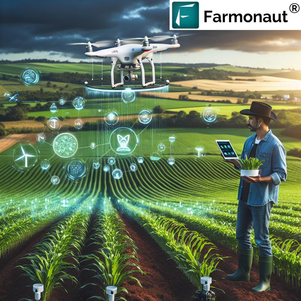
In the era of technology-driven agriculture, farm field mapping software has become an indispensable asset for us, providing detailed insights that empower our decisions and optimize every step of farm management. These digital tools enable us to visualize, analyze, and manage the spatial and temporal intricacies of our fields. Leveraging precision agriculture solutions like satellite imagery, drone mapping, and sensor integration, we are redefining how we approach crop management and resource allocation.
Field mapping tools facilitate a modern approach to farming by collecting and analyzing data from various sources—including satellites, unmanned aerial vehicles (UAVs), GPS-enabled machinery, IoT devices, and in-field sensors—to generate digital farm maps. These maps offer comprehensive depictions of our soil conditions, crop variability, moisture levels, nutrient concentrations, and more. As a result, we can make more informed, data-backed decisions, optimizing our productivity while promoting sustainable farming practices.
As agronomists and farmers, the transition to field mapping software equips us with new levels of precision and efficiency—not merely digitizing traditional practices, but also revolutionizing how we approach everything from field scouting to yield analysis. The integration of this software is a key step in modernizing agriculture and unlocking the full potential of our land.
Key Features and Capabilities of Farm Field Mapping Software
Field mapping software encompasses a dynamic range of technologies and functionalities designed to transform raw agricultural data into actionable insights. Let us explore the most impactful features that make these tools indispensable for modern crop management:
- Data Collection and Integration: By unifying data streams from satellites, drones, GPS-equipped machinery, remote sensing devices, and IoT-based sensors, mapping software ensures our digital farm maps are comprehensive, accurate, and current. This integration supports seamless coordination between our on-field operations and cloud-based analytics platforms.
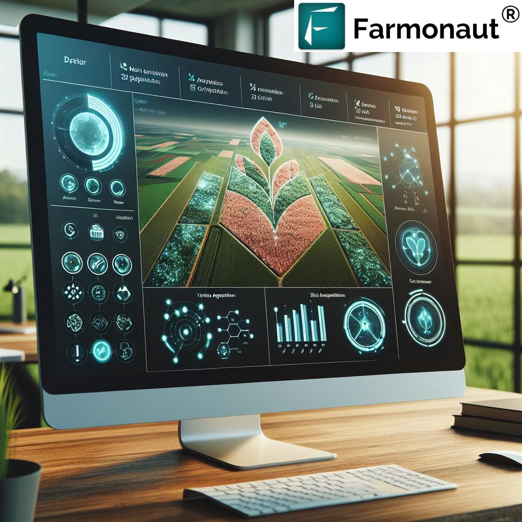
- Soil and Crop Analysis: Advanced algorithms and AI-driven analysis process collected data to evaluate soil health, nutrient status, moisture levels, and overall crop vitality. By identifying anomalies and areas of concern, we are empowered to take corrective actions—addressing deficits in real time and fine-tuning variable rate application technology.
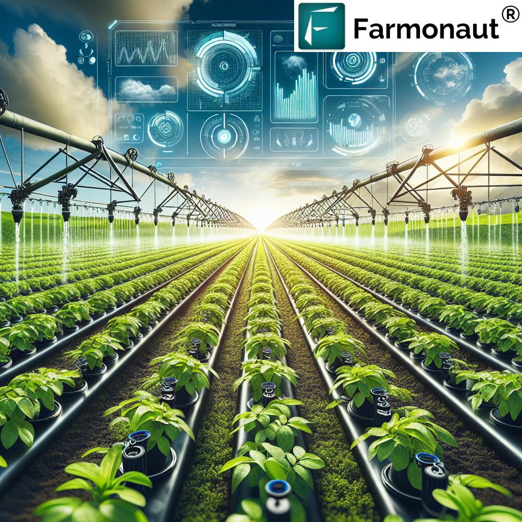
- Variable Rate Application (VRA): With prescription maps generated directly from field data, we tailor the distribution of inputs such as fertilizers, pesticides, and irrigation. This precision ensures inputs are applied only where necessary, reducing waste and supporting sustainable farming practices.
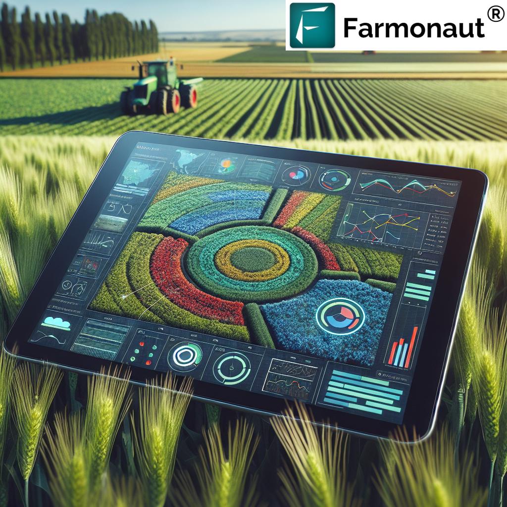
- Yield Monitoring and Prediction: Mapping software enables us to track and visualize yield variations across zones. This data is critical for post-harvest analysis, guiding us in refining future strategies for even greater productivity.
- Field Documentation and Record-Keeping: Every operational detail—from planting schedules and pesticide applications to soil sampling and harvest data—is stored in digital records, ensuring compliance, facilitating analysis, and simplifying audit processes. This digital documentation is vital for crop loan and insurance verification.
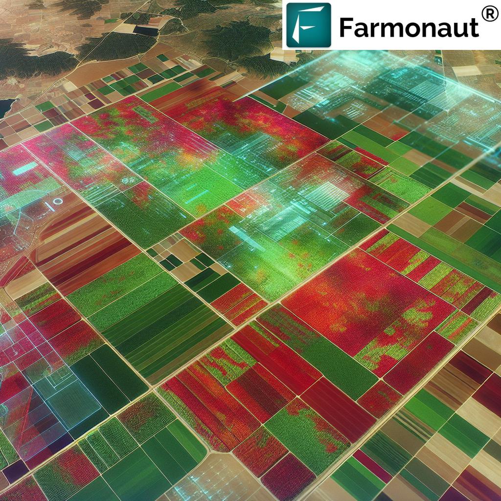
How Satellite Imagery and Remote Sensing in Agriculture Are Shaping Farm Management
The integration of satellite imagery for farming and remote sensing in agriculture has rapidly advanced our ability to observe, analyze, and respond to subtle changes in our fields. Platforms like Farmonaut harness multispectral satellite data, offering real-time, scalable crop monitoring and soil health assessments. With this technology, major variables such as vegetation health (NDVI), soil moisture levels, and pest outbreaks are no longer hidden but instead are visually mapped and immediately actionable.
Benefits of Implementing Farm Field Mapping Software
- Enhanced Decision-Making: Accurate, up-to-date digital farm maps and data enable us to base our management decisions on facts, not guesses—optimizing everything from planting depth to irrigation timing.
- Cost Efficiency: Precision mapping helps us target inputs, conserve resources, and eliminate waste. With targeted interventions based on data analysis, unnecessary expenditures are dramatically reduced—protecting both profitability and the environment.
- Increased Productivity and Yield: When crop management is guided by real-time data and agricultural data analysis, our fields yield more, and quality improves. This is a direct outcome of being able to fine-tune practices day by day, season by season.
- Sustainability: Sustainable farming practices are at the core of field mapping software. By reducing input overuse, minimizing environmental impact, and tracking carbon footprint, we safeguard the future of our land and the broader ecosystem.
- Compliance and Documentation: With digital record-keeping, compliance with regulatory requirements and insurance claims becomes easier, saving time and mitigating risk for us in the long run.
“7 top mapping tools can reduce fertilizer use by up to 20% through precise field data analysis.”


Farm Field Mapping Software: 7 Tools Farmers Love
Let us delve into the most sought-after farm field mapping software and precision agriculture solutions that leading farmers and agronomists trust to optimize crop management, boost field productivity, and promote environmental stewardship. By leveraging these tools, our decision-making and resource allocation become more streamlined, ensuring every hectare delivers its full potential.
1. Farmonaut
Farmonaut stands at the cutting edge of satellite-based farm management solutions, putting precision agriculture within reach for farms of every scale. Our platform delivers:
- Satellite-Based Crop Health Monitoring: Harnesses multispectral satellite imagery for real-time crop health, NDVI, and soil moisture levels, providing data-driven insights for optimal farming decisions.
- AI-Based Jeevn Advisory System: Personalized, real-time crop management advice using AI analysis of satellite data, weather, and agronomist insights—tailored to our fields.
- Blockchain-Based Traceability: Unmatched transparency for our produce and supply chains, boosting trust and value across the agricultural sector.
- Fleet and Resource Management: Advanced tools for fleet and machinery monitoring, logistics optimization, and cost-reduction.
- Carbon Footprinting: Real-time carbon footprint monitoring to minimize environmental impact and track progress towards sustainable farming goals.
The Farmonaut platform is accessible on web browsers, iOS, and Android devices, supporting API integration and scalable digital farm maps for any operation size.
With subscription-based models, our services are tailored for individual farmers, agribusinesses, cooperatives, governments, finance institutions, and corporations seeking affordable, actionable agricultural data analysis.
Benefits: Scalable, affordable, and powerful—the only field software we need for yield improvement and sustainable farming.
2. PIX4Dfields
PIX4Dfields is renowned for its rapid image processing and seamless integration of drone and satellite imagery. As one of the leading crop management tools, it allows us to:
- Process drone data in minutes for up-to-date field maps
- Generate variable rate application prescriptions for inputs, reducing costs and environmental impact
- Integrate easily with major agricultural machinery and precision application systems
Advanced analytics ensure precise, zone-based insights—enabling us to treat every square meter according to its needs. Perfect for farms seeking cutting-edge imagery-driven solutions.
3. Agremo
Agremo offers AI-driven agricultural data analysis of drone imagery, delivering detailed reports on:
- Crop health variability and anomalies
- Plant count and stand analysis
- Biomass estimation and yield prediction
Highly intuitive and accessible for growers of all skill levels, Agremo allows us to track progress season-by-season, supporting confident and data-backed management decisions.
4. FieldReveal
FieldReveal is geared towards professional agronomists and precision farming consultants, offering:
- Advanced field mapping and boundary management
- Grid and zone soil sampling integration
- Seamless mobile and desktop access
Designed to facilitate collaboration among stakeholders, FieldReveal is an excellent choice for agronomy professionals seeking robust, field-centric data platforms for large-scale farm management.
5. Mapware
Mapware excels at storing, organizing, and sharing time-series maps derived from ongoing drone and satellite flights. The cloud-based platform allows us to:
- Track erosion, irrigation changes, and crop progress through rich visual maps
- Share data easily with collaborators, agronomists, and farm managers
- Analyze trends to inform future strategies
Mapware’s sharing capabilities are key for transparent and consistent field management across multiple teams or sites.
6. Veris Technologies
Veris Technologies is renowned for its real-time, sensor-based data collection and mapping. Its highlights include:
- Integration of in-cab sensors for soil conductivity, pH, organic matter, and moisture
- Immediate visualization and quality checks on-the-go
- Support for on-the-fly prescription writing for input applications
Immediate insights directly from field sensors make Veris an outstanding solution for optimizing variable rate application technology.
7. DroneDeploy
DroneDeploy simplifies the capture and processing of high-resolution drone imagery—ideal for those wanting to quickly turn flights into detailed digital farm maps. Key features include:
- Automated field boundary detection and crop health analysis
- Integration with a variety of drones and platforms
- Collaboration tools for teams and consultants
This platform is valued for its simplicity and accessibility, making it easy for us to deploy remote sensing for agriculture at scale.
Comprehensive Comparison Table: 7 Field Mapping Tools
| Tool Name | Core Features | Estimated Price Range | User-Friendliness | Compatibility | Unique Advantages |
|---|---|---|---|---|---|
| Farmonaut | Satellite imagery, real-time crop/soil health, AI advisory, blockchain traceability, carbon footprinting, fleet management | Affordable subscription (see pricing below) |
Beginner – Advanced | Android, iOS, Web, API |
Scalable, integrates AI & blockchain, multi-sector support, API access, affordable for all farm sizes |
| PIX4Dfields | Drone/satellite image processing, prescription maps, crop insights | $500–$2000/year | Intermediate – Advanced | Web, Desktop | Fast image processing, integrates with farm machinery |
| Agremo | AI-driven drone analysis, plant count, yield prediction | $700–$1500/year | Beginner – Intermediate | Web | AI analytics, easy reporting, supports all drones |
| FieldReveal | Field/zone mapping, mobile access, documentation tools | Custom enterprise pricing | Intermediate | Mobile, Desktop | Designed for agronomists, easy client collaboration |
| Mapware | Cloud storage/sharing, time-series mapping, trends | $500–$1600/year | Beginner – Intermediate | Web | Long-term monitoring, multi-user sharing |
| Veris Technologies | Real-time field sensors, in-cab mapping, soil analysis, prescription maps | $5000+ (hardware adds cost) | Advanced | Hardware, Mobile, Desktop | Immediate insights, sensor integration, quality control |
| DroneDeploy | Drone imagery capture, map processing, field boundary detection | $900–$3000/year | Beginner – Intermediate | Web, Mobile | Easy, fast, supports various drones and map formats |
Challenges and Considerations in Field Mapping Technology
While the benefits of farm field mapping software are vast, integrating these technologies into our operations is not without its challenges. Let us examine the most pressing considerations:
- Data Management: With vast volumes of data collected across multiple sources, robust storage and backup solutions are vital to ensure data integrity and ongoing accessibility.
- System Integration: For those already utilizing field data or management systems, it is crucial to ensure compatibility with new mapping platforms for seamless, efficient operations.
- Cost of Implementation: The expense of software subscriptions, hardware (such as drones or in-cab sensors), and training can be significant, especially for smaller farms. Affordable, scalable platforms like Farmonaut mitigate these barriers by providing flexible plans for all users.
- Training and Support: Leveraging advanced field mapping and agricultural data analysis tools requires adequate onboarding, continuous support, and periodic upskilling for effective use.
Future Trends in Farm Field Mapping
As technology evolves, several trends will further shape how farm field mapping software transforms agriculture:
- IoT Device Integration: The adoption of new Internet of Things (IoT) devices will allow sensors to continuously feed live data on moisture, temperature, and other variables into mapping software for truly real-time, data-driven management.
- Advanced AI and Machine Learning: The future lies in even smarter software powered by AI, continuously improving accuracy in prediction, disease detection, and resource recommendations.
- Cloud Computing and Collaboration: Cloud-based storage and processing will make sharing field maps simple and secure, enabling transparent communication among all farm stakeholders—from field managers to agronomists.
- Mobile-First, User-Friendly Interfaces: Intuitive designs will open the benefits of digital mapping to a broader user base, putting the power of data-driven agriculture in the palm of everyone’s hand, regardless of technical expertise.
- Sustainability Tracking: Ongoing developments will further streamline sustainability tools—like carbon footprint monitoring—to meet rising standards for environmentally friendly crop production.
Farmonaut: Pioneering Satellite-Based Field Mapping and Farm Management
Farmonaut is redefining modern agriculture—offering cutting-edge, affordable precision farming tools that combine satellite imagery, AI, blockchain, and scalable API access. Our mission is clear: to empower farmers, agribusinesses, governments, and NGOs worldwide with actionable insights that boost productivity, resource efficiency, and sustainability.
What Sets Farmonaut Apart?
- Real-Time Satellite Crop Monitoring: Gain instant NDVI maps, crop health diagnostics, and soil moisture updates for timely interventions and input optimization.
- Jeevn AI Advisory: Receive tailored recommendations using the latest satellite data, expert agronomist advice, and hyper-local weather for maximized yields.
- Blockhain Product Traceability: Secure supply chain documentation to ensure farm outputs remain authentic, trusted, and verifiable. Learn about traceability for your value chain.
- Fleet Management: Control costs and increase field logistics efficiency via remote vehicle and resource monitoring. Read about Farmonaut’s Fleet Management solution.
- Carbon Footprinting: Measure emissions and make actionable decisions for a greener future. See how.
Who Benefits From Farmonaut?
- Individual Farmers & Agronomists: Access budgets-scaled packages for real-time maps, crop health insights, and cost reduction.
- Agribusinesses: Manage plantation health, logistics, and multiple sites intuitively.
- Governments & NGOs: Improve large-scale implementation, rural digitalization, and policy monitoring.
- Financial Institutions: Secure, objective remote verification for loan approval and insurance processes.
- Corporate Supply Chains: Implement sustainable, secure sourcing and transparent origin-tracking.
Learn about supply chain solutions.
Try Farmonaut’s Satellite-Based Farm Management & Field Mapping Solutions Now
Discover how easy and effective it is to bring field mapping software into your farm’s operations—on mobile, web, or via API or developer docs. For large plantations, our Agro Admin App delivers scalable management of vast acres, including real-time satellite health monitoring, task assignment, and documentation.
Conclusion
The farm field mapping software revolution is here—equipping us with powerful crop management tools that drive informed decision-making, boost field productivity, and set new standards for sustainable farming. From legacy providers to innovators like Farmonaut, today’s software not only streamlines field operations but also democratizes advanced precision agriculture solutions for users everywhere.
Embracing these digital tools is more than a productivity upgrade—it’s our pathway to greater yields, lower costs, and a healthier environment. Our farm data, once fragmented and inaccessible, is now unified in robust, mobile-friendly platforms—enabling us to respond to field conditions in real-time and adapt faster than ever before.
As we look ahead, continuous advancements in satellite imagery, AI analysis, IoT integration, and cloud processing will only strengthen the power of digital farm maps and mapping technology. The opportunities for smarter, more sustainable farming have never been greater. Join us in leveraging the next generation of field mapping—empower your decisions and secure the future of your fields, your yields, and our planet.
FAQ: Farm Field Mapping Software and Precision Agriculture
What is farm field mapping software?
Farm field mapping software is a suite of digital tools and platforms designed to collect, process, and analyze spatial and temporal data from agricultural fields. By creating digital maps of variables such as soil health, crop conditions, and yield patterns, the software guides farmers and agronomists in making precise, data-driven management decisions.
How does remote sensing in agriculture improve field management?
Remote sensing technologies, including satellite and drone imagery, allow us to monitor vast agricultural landscapes for changes in crop health, soil moisture, and field conditions—enabling prompt and targeted management interventions, even for the largest or most remote fields.
What is variable rate application technology, and why is it important?
Variable rate application (VRA) technology uses detailed field data to apply fertilizers, pesticides, and water at customized rates in each part of the field. This targeted approach eliminates waste, reduces costs, and minimizes environmental impact, boosting both efficiency and sustainability.
Is field mapping software accessible for smallholder farmers?
Yes. Platforms like Farmonaut are designed to be affordable and scalable—enabling small, medium, and large farms to access precision agriculture solutions through web, mobile, and API access, often with flexible subscription models.
What data sources can be integrated into a digital farm mapping platform?
Field mapping platforms can integrate a broad range of data: satellite imagery, drone mapping, IoT sensor data (e.g., soil moisture probes), manual field scouting, meteorological data, GPS-enabled machinery data, historical yield maps, and more.
How do I start with field mapping on my farm?
First, select a platform that fits your needs (e.g., Farmonaut for scalable satellite monitoring). Create field boundaries, upload or sync your data (from drone flights, machinery, etc.), and analyze the resulting maps and prescriptions. Farmonaut offers an easy onboarding process and support for every user segment.
Where can I learn more and try Farmonaut’s software?
Visit
Farmonaut’s Web App,
download our Android App,
or get the iOS App. For developers and large operations, explore our
API and
developer documentation.
Does Farmonaut sell machinery, farm inputs, or act as a regulatory body?
No. Farmonaut is exclusively focused on providing digital farm management solutions—satellite data, AI insights, blockchain traceability, and resource monitoring—to enhance the precision and sustainability of global agriculture.