

- Introduction
- Understanding GPS in Tractors
- Types of GPS Systems for Tractors
- 7 Powerful Ways GPS Boosts Precision Farming
- Benefit Comparison Table: GPS vs. Traditional Farming
- Integration with Modern Tractor Systems
- Farmonaut’s Affordable Precision Farming Solutions
- Challenges and Considerations in GPS Integration
- Future Trends: The Evolution of GPS in Agriculture
- FAQ: Precision Farming & GPS Technology
- Conclusion
GPS for Tractor: 7 Powerful Ways to Boost Precision Farming
The Global Positioning System ( GPS ) for tractors is changing
modern agriculture, allowing us to reduce input costs, maximize efficiency, and support environmental sustainability in agriculture. By integrating GPS in tractors, we’re optimizing fieldwork, improving crop yields, and ensuring that our resources are used efficiently—embracing the future of precision farming technology.
<<<<<<< 75% IMAGE 1 (ALT: GPS for Tractor: 7 Powerful Ways to Boost Precision Farming) =======>
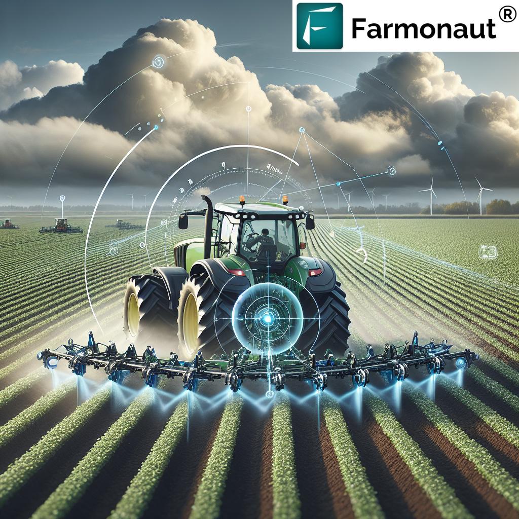
Understanding GPS in Tractors
In agriculture, accuracy is everything. GPS in tractors enables us to utilize satellite navigation for tractors—leveraging satellite signals to precisely determine a tractor’s location across sprawling fields. But what does that really mean in our day-to-day farming operations?
How Do GPS Systems Work on Tractors?
When we equip our tractors with GPS receivers, these systems start communicating with satellites orbiting the earth. Multiple satellites send signals down to our GPS receiver, allowing it to triangulate and determine our tractor’s exact location on the field—often down to just a few centimeters with the right equipment. This navigation empowers us to follow precise, predetermined paths with almost zero deviation, significantly improving coverage across the entire field.
By integrating GPS with tractor systems, we seamlessly facilitate automated tasks such as precise steering, implement control, and ongoing monitoring. This level of precision wasn’t possible with manual methods! GPS truly paves the way for automated tractor steering systems, minimizing human error and reducing overlap while maximizing the efficient use of resources.
Types of GPS Systems for Tractors: Matching Accuracy to Your Needs
Not all GPS systems are equal—there are several types, each offering varying levels of accuracy and functionality. Let’s break down the main GPS types employed in agriculture:
1. Wide Area Augmentation System (WAAS)
- Improves on standard GPS accuracy using correction signals from geostationary satellites.
- Best for general farming tasks where ultra-high precision isn’t critical.
- WAAS is a free US-based system; great for beginners.
2. Differential GPS (DGPS)
- Includes a ground reference station, which compensates for signal errors.
- Typically delivers sub-metre accuracy; suitable for most agricultural applications.
- Balancing cost with enhanced functionality.
3. Real Time Kinematic (RTK) GPS
- Uses both satellites and fixed base stations for error correction.
- Highest accuracy: John Deere quotes up to 2.5 cm for its SF-RTK signal—ideal for high-precision, automated tractor steering systems.
- Best for variable rate applications, precision implement operation, and crop management.
What’s Best for Us?
For basic field mapping or broad-scale guidance, WAAS may suffice. But as we focus on precision farming and technologies like automated seeding or crop spraying, RTK GPS or DGPS offer the accuracy that can make or break our yields and efficiency. For more on how GPS works on tractors, check our detailed guide on GPS receivers used in agriculture.



Correction levels at a glance
A GPS receiver on its own is not accurate enough to steer a tractor down crop rows. Precision navigation depends on a correction signal that removes most of the error. The level you need depends on the job.
| Correction | How it is delivered | Typical use |
|---|---|---|
| None (standard GPS) | Satellites only | Logging field positions, rough mapping |
| WAAS / SBAS | Government correction signal from geostationary satellites, no subscription | Tillage, broadcast spreading, lightbar guidance |
| Paid satellite corrections | Manufacturer subscription such as John Deere StarFire signals | Spraying, hands-free steering on broad-acre work |
| RTK | Local base station, network or cellular link | Planting, strip-till, controlled traffic, repeatable year-to-year lines |
RTK is the only level that returns the tractor to the same line season after season; John Deere quotes up to 2.5 cm for its SF-RTK signal (John Deere). The choice is mainly about repeatability. If you only need to avoid overlap within one pass, a satellite subscription is usually enough. If you plant in one season and need to side-dress or strip-till the same rows later, you need RTK.
7 Powerful Ways GPS for Tractor Boosts Precision Farming
Integrating GPS with tractors and implements doesn’t just automate steering. It reshapes how we plan, plant, fertilize, harvest, and sustain our fields. Let’s examine the seven most impactful benefits of GPS integration in tractors—each one directly influencing our results, from productivity to sustainability and profitability.
Different farms weigh the trade-offs differently, and our summary of GPS pros and cons in farming sets accuracy levels against adoption.
1. Enhanced Efficiency and Productivity
- GPS guidance for agriculture allows tractors to operate in straight, repeatable lines with minimal overlap.
- Our fieldwork becomes highly efficient, covering more acres in less time, with less fuel.
- This improving farm efficiency with GPS means we can optimize every step of the crop cycle—from tilling to planting, spraying, and harvesting.
2. Significant Cost Savings
- By accurately controlling where inputs like seeds, fertilizers, and pesticides go, we reduce input costs in farming.
- Example: GPS-controlled sprayers apply chemicals only where needed, preventing waste and environmental contamination.
- Over an entire season, these cost savings are substantial, making our operations more profitable.
Farmonaut’s Fleet and Resource Management tools let us track machinery and resources in real time, not only reducing operational costs but also ensuring safety and enhancing overall operational efficiency.
3. Crop Yield Optimization
- Precise, uniform tasks such as seeding and fertilizer application set ideal conditions for growth.
- Using GPS, we ensure each plant gets the right amount of space, water, and nutrients for increased yields.
- This is the #1 foundation for crop yield optimization.
With Farmonaut’s real-time crop health monitoring—delivered via advanced satellite imagery and actionable AI—farmers can receive field-by-field insights on plant vigor, soil moisture, pest risk, and more. Instant data lets us make the best decisions for yield, every day. Explore Large Scale Farm Management solutions for big farms and agribusinesses.
4. Environmental Sustainability in Agriculture
- GPS systems enable targeted application—so we apply just the right amount of chemicals and water, exactly where needed.
- This reduces chemical runoff, conserves soil and water, and minimizes our environmental footprint.
Farmonaut’s Carbon Footprinting Solution allows agribusinesses to track and minimize farm emissions in real time. This advances sustainability by providing actionable metrics and compliance insights on environmental impact.
5. Operational Safety
- Automated steering and real-time monitoring reduce driver fatigue—crucial for safety during long fieldwork days.
- Our tractors can work safely—even in low-visibility conditions, such as fog or rain—without risking deviations from the correct path.

6. Precise Record-Keeping and Farm Data Analysis
- Every pass, action, and operation can be digitally logged through the tractor’s onboard GPS system.
- We use this data—often visualized on computers or mobile devices—to analyze trends, plan rotations, review input use, and share insights with advisors.
- Result: smarter, data-driven farming every season.
Farmonaut’s platform excels at satellite-based crop health monitoring and field data management—enabling integrated API access and
developer tools for businesses seeking to automate analytics, reporting, or mobile farm advisories.
7. Supply Chain Traceability and Transparency
- With GPS mapping, every stage of crop production—planting, input applications, harvest—can be geo-tagged and recorded.
- This empowers blockchain-based traceability so we—and our buyers—know exactly where, when, and how crops were produced.
Farmonaut’s Blockchain-Based Product Traceability solution adds transparency and trust for buyers, financial institutions, and end consumers—especially important for crops entering regulated or export markets.
Integration with Tractor Systems: Making Precision Possible
Today’s tractors are no longer just “iron and engine”—they’re mobile data centers, ready for sophisticated GPS integration. Here’s how GPS-enabled systems enhance every workday:
- Automated Steering: Onboard computers use GPS inputs to control steering, keeping us right on track—even hands-free.
- Implement Control: Whether it’s a seeder, sprayer, or harvester, GPS integration manages the attached equipment with unmatched precision.
- Task Monitoring: Sensors and GPS log every pass, enabling real-time monitoring and task verification.
- Coverage Mapping: Every operation—planting, spraying, harvesting—is digitally mapped so we know exactly what’s been done and where.
- Automated Variable Rate Applications: High-precision systems like Real Time Kinematic GPS farming or DGPS enable the tractor to adjust seed, fertilizer, or chemical rates on-the-go, optimizing every zone of the field.
And all this happens while we sit in comfort, oversee operations via touchscreen displays, and—most importantly—produce more with less deviation, overlap, or waste.
How many farms use GPS guidance
Auto-steer and guidance are now the norm on large US row-crop acreage. USDA’s Economic Research Service, using its Agricultural Resource Management Survey, reported these shares of planted acres managed with auto-steer or guidance systems (USDA ERS):
| Crop | Survey year | Share of planted acres |
|---|---|---|
| Corn | 2016 | 58.4% |
| Winter wheat | 2017 | 55.9% |
| Soybeans | 2018 | 54.5% |
| Cotton | 2019 | 64.5% |
Corn guidance use was about 5% of planted acres in 2001, so most of the growth came in the following 15 years. Adoption rises steeply with farm size, according to the same ERS work (ERS report EIB-248), because the fixed cost of receivers, displays and correction subscriptions is spread over more acres. For smaller farms, a retrofit kit on an existing tractor is the usual starting point rather than a new machine.
Farmonaut: Making Precision Farming Technology Affordable and Accessible
At Farmonaut, our mission is straightforward: to make advanced farm management—driven by satellite data and AI—affordable and accessible to every farmer, everywhere.
We combine satellite-based crop health monitoring, real-time field analytics, fleet and resource management, blockchain-based traceability, and carbon tracking.
Farmonaut’s platform is available via web, Android, iOS App, and API. By using remote sensing and smart algorithms, we empower:
- Individual Farmers to receive affordable, actionable data on soil moisture, crop stress, pest/disease risk, and weather—right to their mobile phone or browser.
- Agribusinesses to monitor plantations, manage large machinery fleets, and streamline operations for maximum efficiency.
- Financial Institutions to access satellite-based verification tools for crop loans and insurance, reducing risk and speeding up decisions for farmers.
- Corporate Buyers to benefit from transparent, blockchain-enabled traceability for every product.
- Government & NGOs to manage regional ag policies, monitor large-scale programs, and support sustainability initiatives using real field data.
With Farmonaut, precision farming technology doesn’t require expensive RTK towers, bulky hardware, or steep up-front investment. Instead, we harness the power of satellite data and machine learning—keeping costs low, outcomes high, and farming smarter for everyone.
Easily manage fields, optimize inputs, and boost sustainability with seamless integration—no complicated equipment upgrades required. Start your journey to affordable precision farming with Farmonaut:
Challenges and Considerations: What to Know Before Integrating GPS in Tractors
While the transformation enabled by GPS guidance for agriculture and automated tractor steering systems is real, it’s vital we recognize and plan for the clear hurdles in technology adoption:
- Initial Cost: Ultra-high precision systems like RTK GPS generally require a significant up-front investment in receivers, displays and correction subscriptions. With Farmonaut, you can minimize these costs by harnessing satellite data and AI-driven analytics—no expensive hardware required.
- Signal Interference: GPS signals can sometimes be blocked or distorted by dense foliage, tall metal structures, or even severe weather. This may temporarily reduce system accuracy—so always plan fieldwork accordingly.
- Complexity and Training: GPS system installation, calibration, and data analysis require training. We need to invest in staff education, so everyone—from tractor drivers to farm managers—understands how to maximize value from these tools.
Choosing affordable, integrated platforms like Farmonaut makes this journey much smoother, thanks to easy-to-use apps and expert online support.
Future Trends: The Next Evolution in GPS, Data, and Precision
The coming decade promises new leaps in precision farming technology and satellite navigation for tractors. Here’s what to expect—and why it matters for us:
- Autonomous Equipment: We’re already seeing GPS-guided autonomous tractors and drones that conduct fieldwork—planting, spraying, or harvesting—with little or no human oversight. This trend will accelerate, powered by sensors and AI.
- Machine-to-Machine Coordination: As equipment learns to “talk” to other machines, fieldwork will become fully orchestrated—for example, one tractor harvesting while another immediately replants the same strip.
- Advanced Data Analytics: Bigger, more detailed data—analyzed by machine learning and AI—will offer new insights on everything from soil health to crop genetics and global weather risk.
- Universal Platform Accessibility: Farmers everywhere—from small holdings to North America’s corn belt—will access affordable, cloud-based precision farming tools on any mobile device (Farmonaut is committed to this vision).
If you’re a tech integrator or developer, explore Farmonaut’s API and
API Developer Docs
for seamless integration with your new or existing agricultural systems.
Frequently Asked Questions — GPS, Tractors & Precision Farming
- What is the most accurate GPS system for agriculture?
For ultra-precision (like automated tractor steering and variable rate tasks), RTK GPS is the gold standard, with accuracy of a few centimetres; John Deere quotes up to 2.5 cm for its SF-RTK signal. - Is GPS in tractors worth the investment?
Often, especially on larger farms. The payback depends on acreage, overlap saved and input prices, which is why USDA ERS finds adoption highest on the largest farms. - Does GPS improve environmental sustainability in agriculture?
Absolutely. By applying inputs with precision and minimizing resource wastage, GPS technologies directly reduce pressure on soil and water—key components of ag sustainability. - Can Farmonaut help small farmers adopt GPS and precision tech?
Yes! Farmonaut delivers satellite-powered analytics, crop health monitoring, and advisory solutions at affordable rates, making precision farming technology accessible even for small to medium farms. - What if GPS signals drop while working?
Most modern systems will alert you or fallback to last-good navigation. Plan major tasks for days with favorable weather, and—if you rely on external correction (RTK)—ensure your base station or correction service is reliable. - Do I need to buy new tractors to use GPS technology?
No. Many GPS upgrades can be installed on existing tractors. Alternatively, adopt satellite-based analytics and digital mapping via Farmonaut—no hardware upgrades needed.
Conclusion: Empowering the Next Generation of Sustainable, Data-Driven Farmers
The integration of GPS in tractors and allied technologies has ushered in a new era of precision, productivity, and sustainability in global agriculture. From ultra-accurate field navigation to actionable crop monitoring and transparent traceability, GPS-enabled solutions are placing affordable, efficient farming within reach for all of us.
As we look to the future, it is clear that continuous innovation in satellite navigation, automation, and machine learning—delivered affordably through platforms like Farmonaut—will drive a smarter, more environmentally sustainable, and profitable agriculture for generations to come.
Sign up, download the Farmonaut app, or view our platform on your preferred device—because smarter farming begins here.
Discussion
Questions, corrections or field experience? Share them below. First-time comments are reviewed before they appear, and your email is never published.
No comments yet. Be the first to add a question or your experience.

 M11 Agri
 Sapoznick Farms
 Agrotoken
 Blue BearX
 Insignito
 Croptimum
 DnCubed
 Field Capacity
 Indosistim Teknologi
 Liquify Digital
 CU Foods
 BeyondTech Global
 Rouge VC
 AgroGreen Dynamics
 AgroRisk
 Oath Inc
 Reddane Farming
 Esri North East Africa
 Licence holder · Niger · Gold










