Farming with GPS: 7 Powerful Ways Apps Boost Yields in 2025
“In 2025, GPS-guided tractors can reduce fertilizer use by up to 20% through precise field mapping and application.”
Table of Contents
- Farming with GPS: The Foundation of Precision Agriculture
- How GPS and Farming Apps Revolutionize Agriculture in 2025
- 7 Powerful Ways GPS Apps Boost Yields in 2025
- Comparative Benefits Table: 7 GPS-Enabled Applications
- Unlocking Precision Agriculture with Farmonaut
- Trending Tech: GPS Apps, AI, and Autonomous Tractors
- Beyond 2025: The Future of Farming with GPS
- Accessing Farmonaut’s Precision Farming Tools
- FAQ: GPS & Apps in Modern Farming (2025)
- Conclusion: GPS, Apps & The New Era of Yield Optimization
Farming with GPS is at the heart of a technology revolution sweeping across modern agriculture in 2025. Through the seamless integration of GPS systems, advanced apps, and smart tractors, farmers can now harness precise data to optimize field management, boost crop yields, and move towards more sustainable practices than ever before.
Farming with GPS: The Foundation of Precision Agriculture
The integration of Global Positioning System (GPS) technology into farming represents a pivotal shift in how we manage fields and resources. In recent years, the precision offered by GPS and farming solutions has revolutionized the way agricultural operations are conducted. No longer reliant on manual measurements or guesswork, farmers now benefit from accurate, real-time location data to guide tractors, map fields, monitor crop health, and automate machinery.
At its core, GPS farming enables us to:
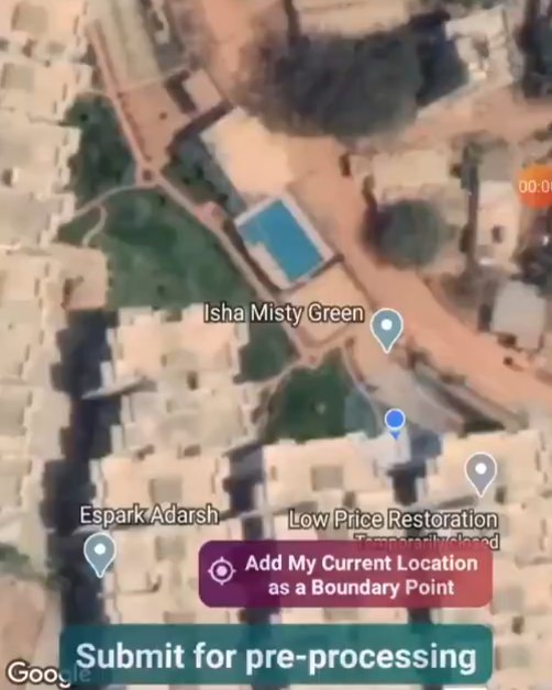
- Map every square meter of the field with unmatched precision
- Apply seeds, fertilizers, and pesticides exactly where they are needed
- Reduce input waste by minimizing over-application of chemicals and resources
- Track field activities and crop growth throughout the season
- Improve efficiency and maximize profitability
This high level of accuracy is particularly important when even small inaccuracies in > large-scale farming operations can lead to significant losses. By leveraging GPS solutions, farmers can tailor their management practices according to the variability within their fields, ensuring each part of the field receives optimal care.
How GPS and Farming Apps Revolutionize Agriculture in 2025
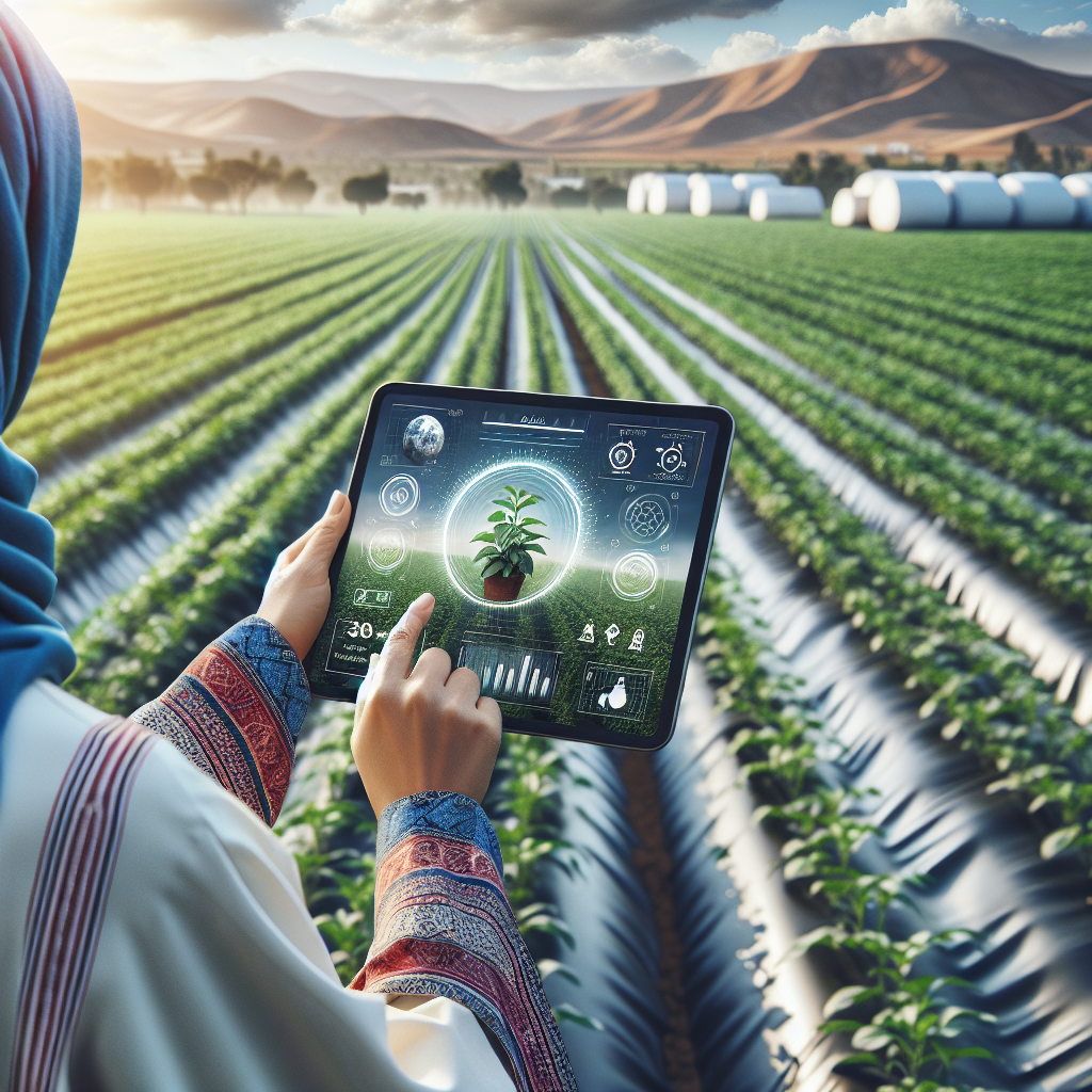
The synergy between GPS technology and farming apps has created a powerful ecosystem, bringing a new era of precise and efficient agriculture. In 2025, farming with apps is standard across small and large farms alike, providing farmers with real-time data directly in the palm of their hands.
Today’s farming GPS apps provide features such as:
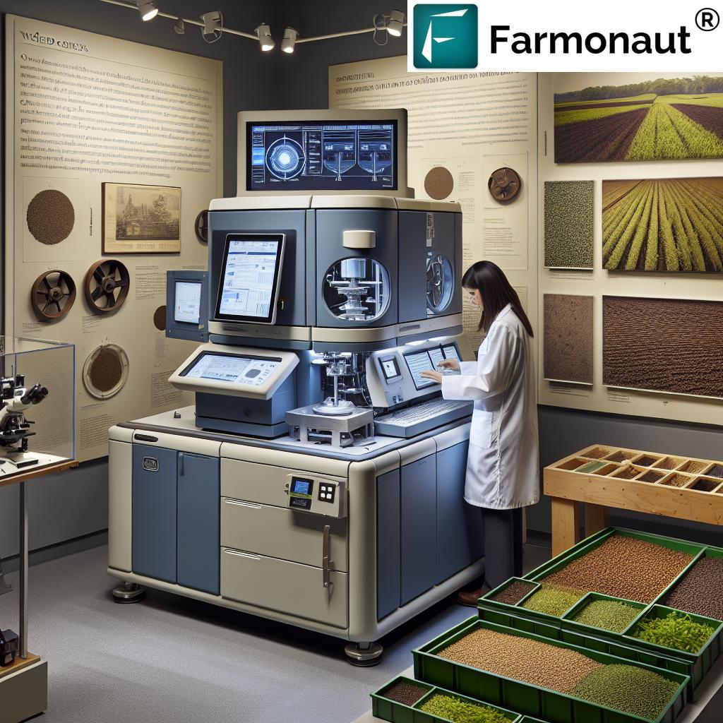
- Automated field mapping and sampling to understand soil variability and health
- Variable rate application prescriptions for fertilizers, pesticides, and water, reducing waste and optimizing inputs
- Crop health analytics using satellite imagery and AI-driven advisory systems
- Weather forecasting integrated with soil and crop data for optimal planning
- Operation logging and yield mapping to track every step from planting to harvest
- Fleet and machinery management for operational efficiency
With the proliferation of smartphones, tablets, and easy-to-use web platforms, modern agriculture in 2025 is defined by data-driven decisions and instant access to powerful tools.
Apps & GPS: 7 Powerful Ways They Boost Crop Yields in 2025
Let’s explore the seven most impactful GPS-enabled application methods that are transforming farming with GPS and farming with apps for yield improvement in 2025.
1. Precision Seeding—Maximize Every Seed’s Potential
By leveraging GPS and farming apps, tractors equipped with precision guidance systems can map fields and plant seeds at optimal depths and spacings. This technology:
- Reduces overlapping rows and seed wastage
- Ensures that each seed is planted where it will receive the best soil and moisture conditions
- Improves uniform emergence and increases final crop yield
Popular GPS farming apps enable real-time adjustments for difficult terrain or field shapes, further optimizing productivity.
2. Automated Fertilizer Application—Smarter Inputs, Healthier Environment
Through field mapping and soil sampling with GPS systems, variable-rate fertilizer application ensures nutrients are applied exactly where needed. This minimizes over-application, cutting costs and lowering environmental runoff—making farming both efficient and sustainable.
Automated tractors and GPS-guided applicators can be programmed using farming GPS apps for precise, time-efficient applications. In 2025, many farmers report fertilizer usage reductions of up to 20%, which is both economically and ecologically significant.
“Over 80% of large farms in 2025 use GPS apps to optimize planting patterns and maximize crop yields.”
3. Smart Irrigation—Make Every Drop Count
Accurate soil moisture readings from IoT sensors, satellites, and GPS data feed directly into advanced farming apps. This allows for targeted irrigation, delivering water only where soil health and plant growth demand it most. The result:
- Significant water savings—often 15-30% per season
- Improved crop health by avoiding over- or under-irrigation
- Enhanced sustainability, especially in water-scarce regions
Smart irrigation is a key tool for reducing farm carbon footprint and meeting climate targets.
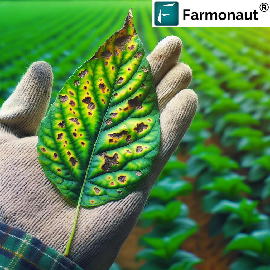
4. Precision Pest & Disease Management—Healthier Crops, Fewer Chemicals
Satellite imagery and AI-based advisory systems (like Farmonaut’s Jeevn AI) can detect crop stress or pest outbreaks long before they become visible to the naked eye. GPS location data helps localize infestations, enabling:
- Targeted application of pesticides, reducing chemical usage
- Real-time alerts to smartphones and tablets
- Faster response times and yield protection
This minimizes environmental impact while safeguarding crop health and increasing proportion of marketable yield.
5. Yield Mapping & Monitoring—Managing for Higher Profits
Yield mapping tools use GPS location data combined with harvester sensors to record crop yields at every location within the field. Farmers can then analyze which field areas are most or least productive, and tailor practices accordingly the following season.
These actionable insights allow for smarter management of future planting decisions, fertilizer investments, and resource allocation—leading to ongoing profitability improvements.
6. Automated Tractor Guidance—Efficiency at Every Pass
Farming with tractor in 2025 means relying on intelligent machinery capable of auto-steering with sub-inch GPS precision. Benefits include:
- More efficient field operations: Elimination of overlaps/gaps saves time and fuel
- Greater safety and comfort: Operators can monitor from inside the cab or remotely via apps
- Scalability: Automated tractors allow even smaller farms to operate with big-farm efficiency
This automation directly reduces operational costs and increases productivity.
7. Fleet & Resource Management—Orchestrating the Modern Farm
Today’s large and medium farms, especially in regions like North America and Europe, run extensive fleets of machinery and staff. Fleet management tools (such as Farmonaut’s Fleet Management solution) powered by GPS location data and real-time tracking allow:
- Deployment of the right equipment to the right field at the right time
- Reduced fuel consumption and machine wear
- Minimized downtime and labor inefficiencies
- Optimized resource allocation for maximum productivity
Comparative Benefits Table: 7 GPS-Enabled Application Methods
| Method | GPS Technology Used | Estimated Yield Improvement (%) | Efficiency Gain (Hours/Season) | Environmental Impact (Input Reduction) | Example App or Tool |
|---|---|---|---|---|---|
| Precision Seeding | RTK-GPS Autosteer, Field Mapping Apps | +6–10% | 20–30 | Lower seed and fuel usage (10–15%) | John Deere Operations Center, Farmonaut App |
| Automated Fertilizer Application | GPS Field Sampling, Variable Rate Controllers | +5–12% | 18–24 | Up to 20% fewer fertilizers | Trimble Ag Software, Farmonaut App |
| Smart Irrigation | GPS-Linked Sensors, Satellite Data Integration | +8–15% | 15–25 | 15–30% less water | CropX, Farmonaut Crop Health API |
| Precision Pest & Disease Management | GPS Geotagging, AI Satellite Analytics | +4–10% | 12–20 | 10–25% fewer pesticides | Granular Insights, Farmonaut Jeevn AI |
| Yield Mapping & Monitoring | GPS Combine Yields, Data Analytics | +6–12% | 10–18 | Allows optimized future input use | AG Leader, Farmonaut Analytics |
| Automated Tractor Guidance | Autosteer, GNSS RTK GPS | +4–8% | 30–40 | 10–15% less fuel and overlaps | John Deere AutoTrac, Farmonaut |
| Fleet & Resource Management | Fleet Tracking, Logistics Apps | +2–5% | 24–36 | 5–10% input/resource reduction | Farmonaut Fleet Management |
Unlocking Precision Agriculture with Farmonaut
As a pioneering agricultural technology company, Farmonaut is dedicated to making precision agriculture accessible, affordable, and data-driven for farmers worldwide. Our advanced platform combines satellite imagery, AI, and blockchain to deliver integrated solutions that:
- Monitor crop health with real-time, satellite-based NDVI and other vegetation indices
- Deliver AI-powered advisories for timely crop, soil, and resource management
- Provide blockchain-based traceability for transparent supply chains (see more at our traceability product page)
- Enable efficient fleet/machinery management via GPS for reduced costs and improved logistics
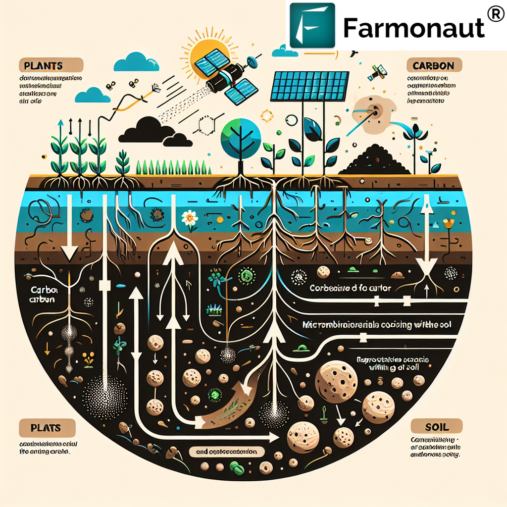
- Offer carbon footprint monitoring for sustainable farming (learn about carbon footprinting)
- Enhance access to agri-financing by providing satellite-based crop verification for loans and insurance (read about our solution)
- Scale from individual growers to large farm cooperatives and government programs (explore our large-scale farm management solutions)
By harnessing the power of data, Farmonaut equips users to optimize every task—from field mapping and planning to smart harvesting. This holistic approach is essential for meeting the dual demands of increasing productivity and achieving sustainability in global agriculture.
Trending Tech: GPS Apps, AI, and Autonomous Tractors
The technological leap in farming with GPS and apps is further fueled by advancements in:
- Autonomous tractors and machinery: Self-driving equipment guided by RTK GPS yields impeccable accuracy, freeing up labor for more valuable tasks
- Satellite-driven analytics: Solutions like Farmonaut’s satellite crop health monitoring provide 24/7 insights without the need for on-site sensors
- AI-powered prediction models: Machine learning algorithms in farming gps apps forecast pest outbreaks, weather events, and nutrient deficiencies before they occur, enabling preventive action
- Blockchain-based supply chain traceability: Ensure every crop’s journey from field to shelf is visible and verifiable
- APIs for seamless data integration: Developers and enterprises can sync Farmonaut’s crop, soil, and weather data directly to internal systems (get started with our API and developer documentation)
As a result, day-to-day farm operations in 2025 are smarter, more data-rich, and less risky than ever before—empowering farmers to make the most out of every hectare and every input.
Beyond 2025: The Future of Farming with GPS, Apps & Smart Systems
As we look ahead, the convergence of GPS with drones, IoT sensors, and advanced AI models will continue to redefine modern agriculture. Key developments to watch:
- Automated crop scouting: Drones equipped with GPS and multispectral cameras will autonomously monitor vast fields, detecting problems instantaneously and relaying data to farm apps for actionable insights.
- Integrated sustainability tracking: Carbon footprint data, water use, and chemical applications will be automatically logged, reported, and benchmarked—promoting transparent, eco-friendly farming.
- Blockchain integration: Enhanced product traceability will allow consumers and retailers to verify the environmental and social credentials of their food, fostering trust and premium pricing for sustainable growers.
- Farm management as a service: Growing numbers of solutions, like Farmonaut’s crop, plantation and forest advisory tools, are making advanced precision farming practices available to all scales of producers.
- Greater democratization: As hardware and software costs decrease, smallholder farmers worldwide—not just those in the most developed regions—can access first-rate tools for increasing yield and profitability.
The future of farming with GPS is thus not just about yield—it’s about resilience, traceability, resource stewardship, and global food security.
Accessing Farmonaut’s Precision Farming Tools


Our solutions are available via Android, iOS, web/browser apps, and powerful developer APIs. Whether you’re an individual farmer or agri-enterprise, our satellite-based farm management system puts cutting-edge precision agriculture at your fingertips.
For customized enterprise-level integration, check our API platform and developer docs.
FAQ: GPS & Apps in Modern Farming (2025)
Q1: What is the primary benefit of farming with GPS in 2025?
The main advantage is precision—using accurate GPS data, farmers can optimize the application of seeds, fertilizers, and water, thus increasing yields, reducing waste, saving money, and supporting environmental sustainability.
Q2: How do farming GPS apps integrate data from tractors and other machinery?
Most modern tractors are equipped with sensors and telemetry systems that connect to farming apps, transmitting field activity, machinery performance, and GPS location data in real time. This integration enables centralized management and smarter, automated adjustments.
Q3: Are GPS farming and apps accessible to smallholder farmers?
Yes. With solutions like Farmonaut, affordable satellite-based monitoring and easy-to-use mobile apps put precision agriculture within reach for small and medium-sized farms globally, not just the largest operations.
Q4: How do satellite analytics contribute to yield improvement?
Satellites provide up-to-date imagery of field vegetation and soil moisture, allowing apps to detect problems early, guide timely interventions, and map yield variability—supporting ongoing improvement of farming practices.
Q5: Where can I find a farming GPS app compatible with both Android and iOS?
Farmonaut’s precision agriculture platform is available on Android, iOS, and web—providing a multi-device, user-friendly experience for farmers worldwide.
Q6: Can precision GPS help with sustainability and compliance?
Absolutely. By tracking input usage, carbon footprint, and field boundaries, GPS farming apps help farms monitor and reduce environmental impact, supporting sustainability reporting and regulatory compliance.
Q7: How does GPS technology safeguard crop loans and insurance?
Satellite-verified data on crop acreage and health helps financial institutions accurately assess claims for agricultural loans and insurance products, reducing fraud and accelerating approval processes.
Conclusion: GPS, Apps & The New Era of Yield Optimization
Farming with GPS has moved from innovative to essential. In 2025 and beyond, farmers are not just managing fields; they’re leveraging an expanding web of data, apps, and smart machines to optimize yields, reduce risk, and act as stewards of the environment. The rapid pace of technology adoption means that even small farms can now operate with the intelligence of large-scale enterprises.
The convergence of precision tools—including mobile apps, satellite-based monitoring, and AI-driven insights—points to a future where productivity and sustainability go hand-in-hand. Organizations like Farmonaut will continue to be instrumental in making these systems affordable and accessible worldwide.
Ready to embrace the next generation of precision agriculture? Explore Farmonaut’s powerful GPS-enabled solutions for web, Android, and iOS—empowering you to increase yields, optimize resources, and succeed in the global agricultural landscape of tomorrow.