GPS Agriculture: 7 Jaw-Dropping Precision Farming Hacks
“Modern GPS-guided tractors can reduce fertilizer use by up to 15%, significantly cutting costs and environmental impact.”


Summary: Revolutionizing Precision Farming
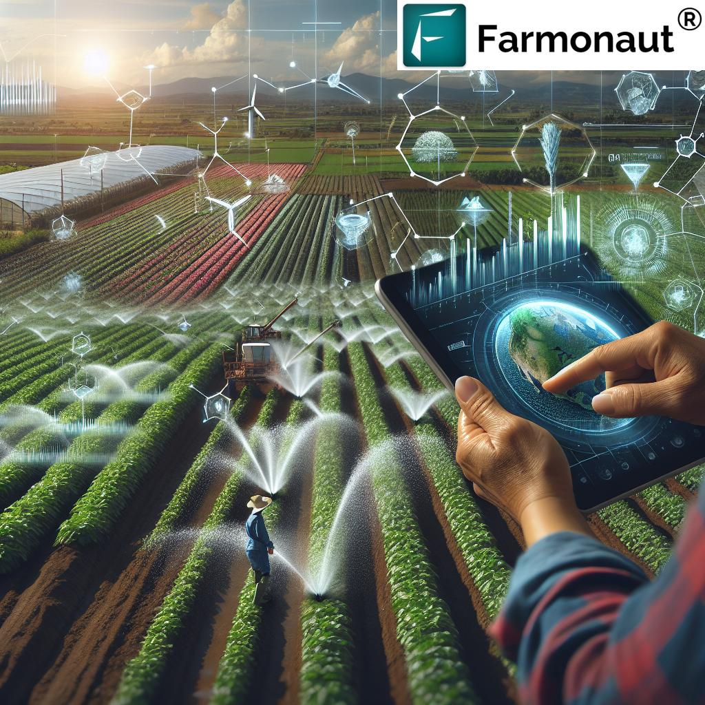
As we step into a new era of technology-driven agriculture, GPS in agriculture stands out as a cornerstone of innovation. The Global Positioning System—once analog, now globally precise—has radically changed how we grow, monitor, and manage crops, livestock, and resources. By enabling precision farming technology, GPS empowers us to boost crop yields, proactively monitor field health, and optimize every drop of water or gram of fertilizer. Companies like Farmonaut are making this digital transformation more affordable and accessible, worldwide.
Let’s explore the jaw-dropping GPS-enabled hacks that are redefining the way we farm—unlocking efficiency, sustainability, and profitability for farmers everywhere.
What is GPS in Agriculture? Unlocking Precision Farming Technology
The Global Positioning System (GPS) is a satellite-based navigation network providing real-time information on position, time, and velocity with astonishing accuracy. In agriculture, this means pinpointing the exact location of farm equipment, crops, and even animals anywhere in the field.
GPS is at the heart of precision agriculture systems, transforming traditional practices by enabling us to:
- Precisely map fields and identify unique soil or crop conditions
- Guided machinery for tasks such as planting, fertilization, spraying, and harvesting
- Monitor spatial variability in yield, crop health, and soil moisture
- Optimize the use of critical inputs—seeds, fertilizers, pesticides, and water
- Implement sustainable farming practices that minimize environmental impact
The result? Enhanced resource optimization in farming, superior operational efficiency, and highly informed, data-driven decisions at every step.
Focus Keyword: GPS in agriculture, Precision farming technology, Crop yield monitoring
GPS Agriculture: 7 Jaw-Dropping Precision Farming Hacks
Precision farming, powered by GPS, is not just a single technology—it is a harmonious ecosystem of functionalities that deliver value across the agricultural lifecycle. Here are seven essential hacks where GPS transforms farming efficiency and profitability.
“Precision GPS mapping can increase crop yields by as much as 10% through optimized planting and resource allocation.”
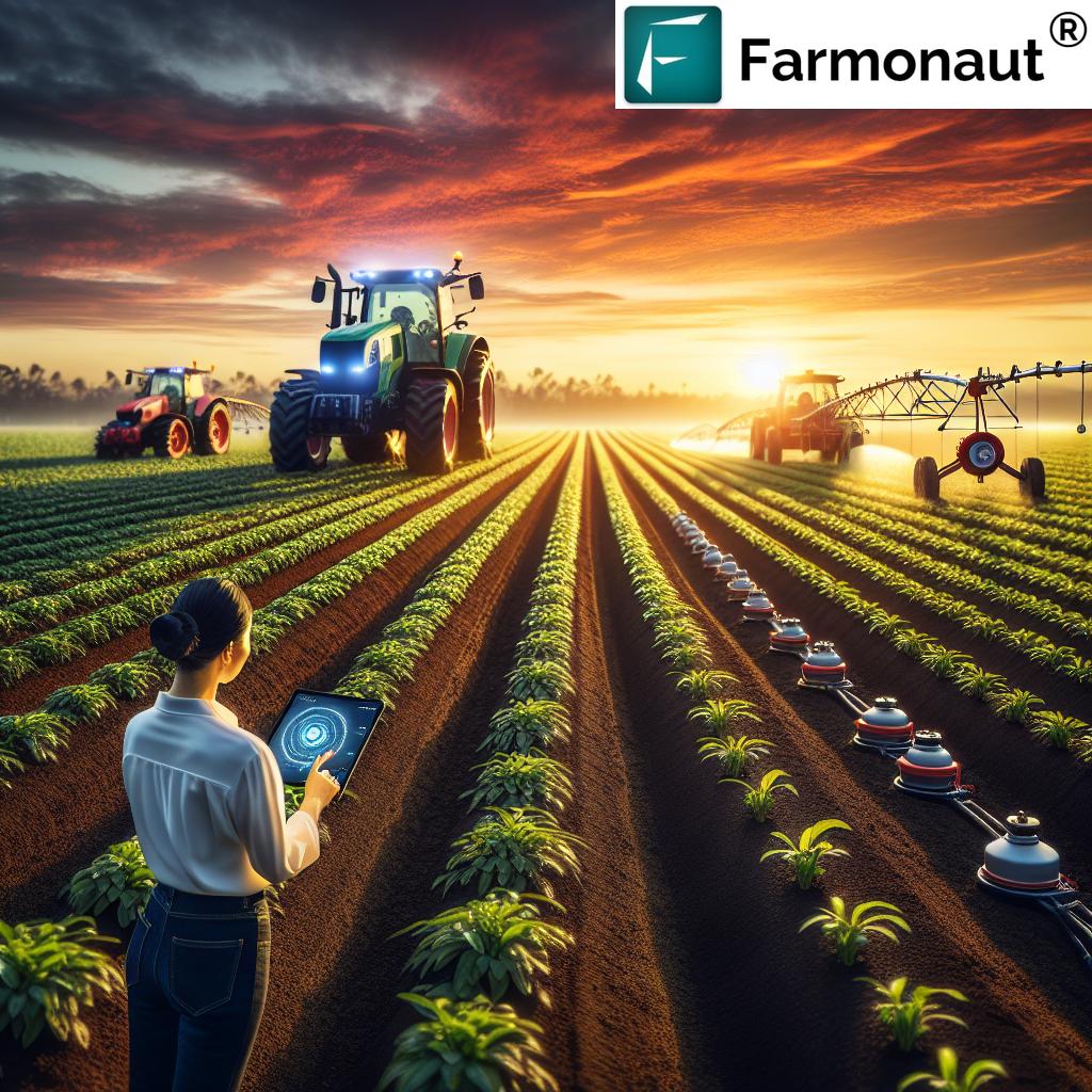
1. Precision Planting
What is Precision Planting? It’s the deployment of GPS-guided machinery that places seeds in exactly the right location, at the optimal depth, and with scientifically calculated spacing. No guesswork—just pure, data-driven efficiency.
- Benefit: Ensures uniform crop emergence and early plant vigor
- How: On-the-go positioning allows seeding even on unusually shaped or uneven land without overlap or gaps.
- Efficiency: Minimizes waste and maximizes every input application, leading to higher germination rates and crop yields.
According to research by FarmIntell, this application can raise yield potential on each hectare by reducing missed areas and over-planting.
2. Variable Rate Application (VRA) – Optimize Inputs
Traditional farming methods apply fertilizers, pesticides, and seeds at uniform rates. But field conditions are never uniform. VRA, enabled by GPS data and sensors, empowers us to apply exactly what the crop and soil require, only where it’s needed.
- Targeted Input Use: Apply more nutrients to low-yielding zones, less where productivity is already high.
- Precision: Field mapping enables site-specific input application using real-time field data.
- Environmental Impact: Resource optimization in farming cuts input costs and minimizes the risk of runoff or pollution.
Read more about how VRA brings value to precision farming at FJDynamics.
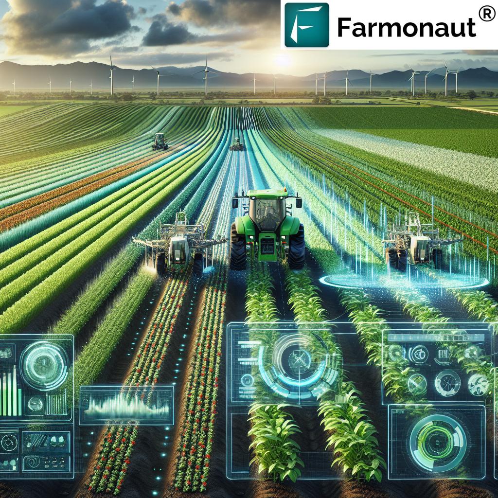
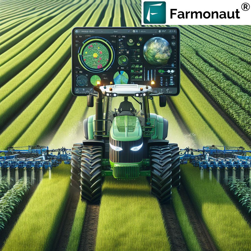
3. Automated Steering Systems for Tractors and Machinery
Tired eyes, long hours, and crooked lines are problems of the past. Automated steering systems using GPS guide tractors, harvesters, and other equipment along perfectly straight, overlapping-free paths. Precision at its finest.
- Labor Efficiency: Machines can operate for longer hours with reduced fatigue and lower human error.
- Sub-Inch Accuracy: RTK-GPS solutions deliver centimeter-level precision—crucial when every row and every square meter counts.
- Fuel and Time Savings: Reduced overlaps and missed strips translate to direct cost savings.
Learn more about automated guidance systems and their positive impact.
Related: Farmonaut’s Fleet and Resource Management tools empower farmers and agribusinesses to monitor, control, and optimize equipment usage for sustainable, cost-effective operations.
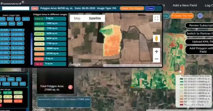
4. Crop Yield Monitoring & Mapping
Having a large harvest is great—but understanding where yields are highest or lowest is even better. GPS-enabled yield monitors collect and map harvest data across fields, translating numbers into insights.
- Spatial Analytics: Analyze yield variability and field productivity for precision management year after year.
- Pinpoint Problems: Identify why certain areas perform better (or worse) than others—so you can take proactive measures next season.
- Integration: Sync yield data with other information (like soil health or irrigation maps) for holistic, data-driven decision making.
Farmonaut’s Large-Scale Farm Management Platform centralizes all farm data—including yield information, resource inputs, and multispectral crop health—to support smarter, scalable decisions.
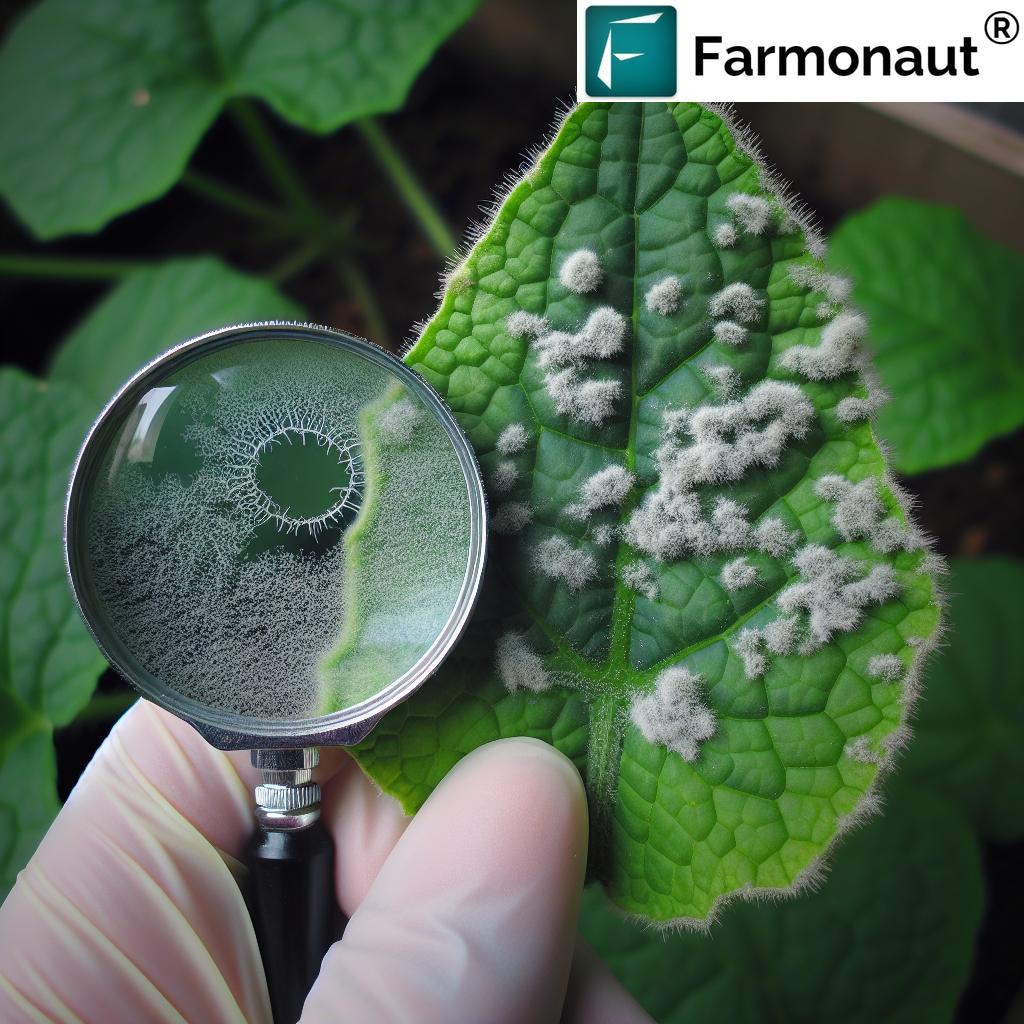
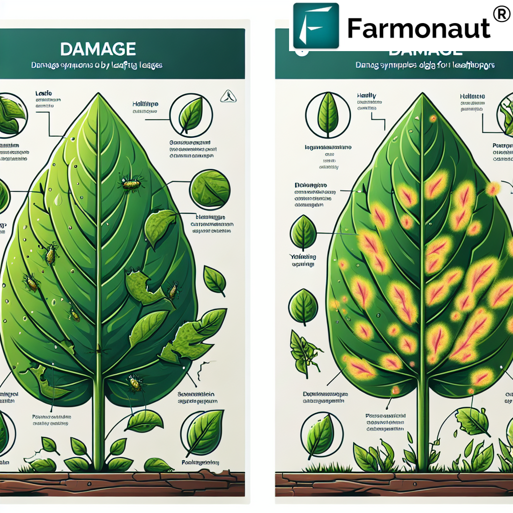
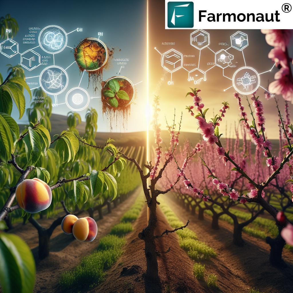
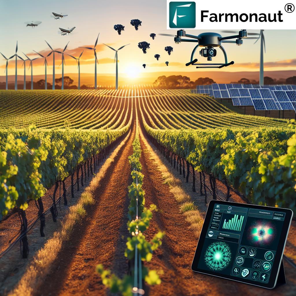
5. Crop Health Monitoring – The GPS & Satellite Advantage
Early detection saves crops and boosts profits. GPS-enabled sensors and satellite imagery (like NDVI and soil moisture indices) monitor plant health, water stress, and pest risks in real time.
- Proactive Responses: Early problem detection enables targeted interventions—only in areas that truly require them.
- Reduce Crop Loss: Farmonaut’s satellite-based crop monitoring delivers regular health updates, supporting evidence-based actions.
- Optimize Resource Use: Fewer, more targeted applications (fertilizer, pesticides, and water) protect crops and the environment.
Discover Farmonaut’s Satellite-Based Crop Health Monitoring & Advisory Tools for actionable, affordable, and accessible solutions for all scales of agriculture.
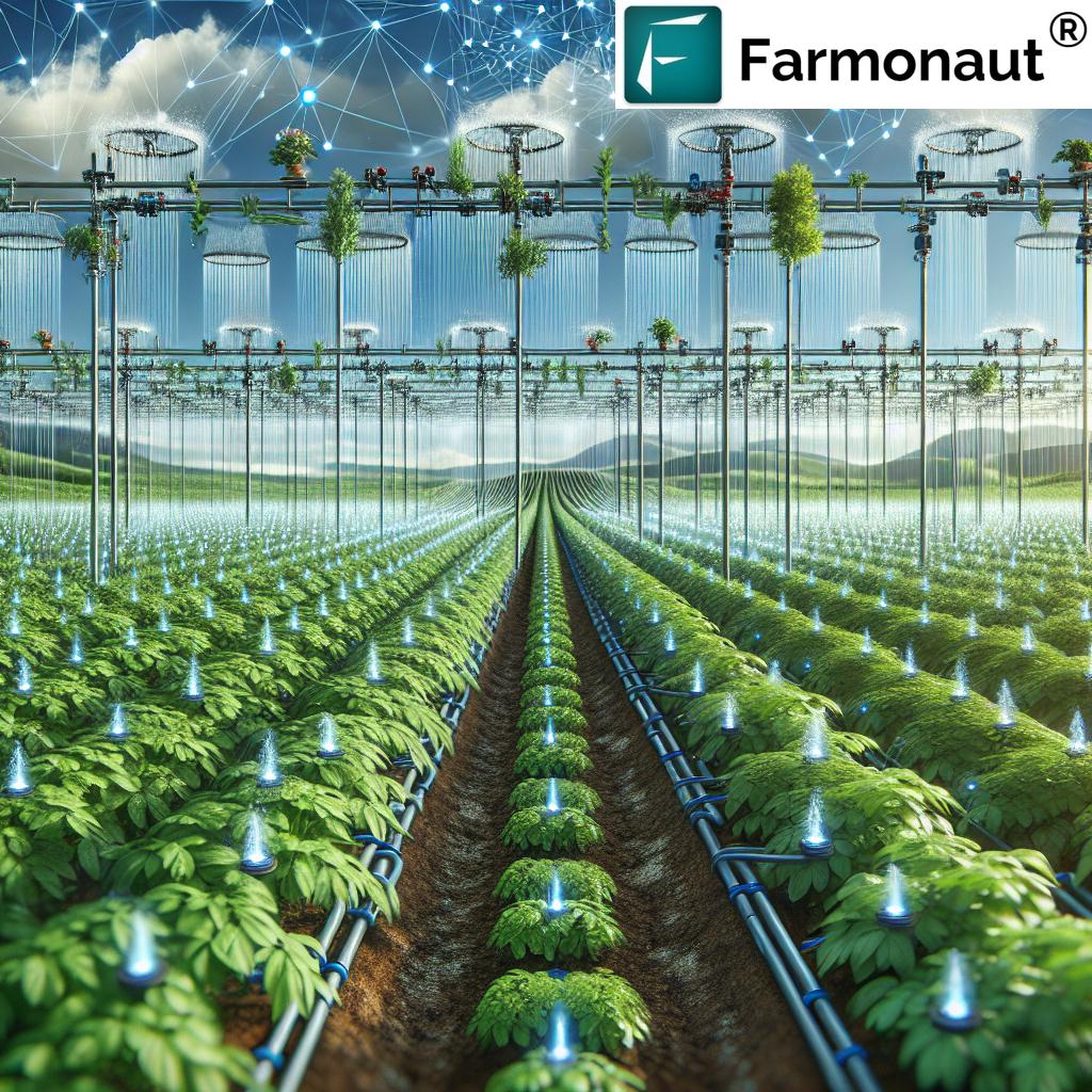
6. GPS-Driven Irrigation Management
Water is one of the most precious—and limited—resources in agriculture. GPS can be integrated with soil moisture sensors, weather data, and automated systems to apply water exactly where and when it is needed.
- Irrigation Maps: GPS-generated maps identify dry and wet zones, ensuring uniform and efficient water application.
- Reduce Water Waste: Save water, energy, and reduce the risk of disease spread from over-irrigation.
- Environmental Sustainability: Supports sustainable farming practices and compliance with water-use regulations.
Tip: Use Farmonaut’s Carbon Footprinting Tools to monitor water use efficiency and emissions, promoting sustainable and environmentally conscious agriculture.
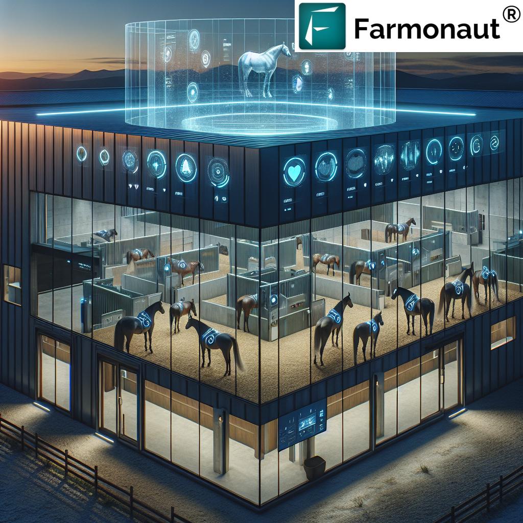
7. Livestock Monitoring & Animal Management
GPS applications aren’t just for crops—they keep tabs on livestock too. Animal tracking ensures safety, optimizes pasture use, prevents disease spread, and automates feeding or milking routines.
- Track Animal Location: Efficiently manage pasture rotation and grazing patterns
- Monitor Animal Health: Integrate health data with movement analytics for proactive veterinary care
- Combined Technologies: GPS integration with IoT & AI creates a smart, responsive livestock system
For large farm and livestock operations, Farmonaut’s Fleet Management Platform supports all your agricultural GPS applications—from vehicle location to livestock health monitoring.
Comparison Table: Precision Farming Outcomes With and Without GPS
| Precision Farming Hack | Estimated Yield Increase (%) | Estimated Resource Savings (%) | Time Efficiency Improvement (%) | Environmental Impact | Ease of Implementation |
|---|---|---|---|---|---|
| Precision Planting | 5–10 | 7–15 (seeds) | 10–15 | Reduces waste, prevents over-seeding | Medium |
| Variable Rate Application | 4–8 | 10–20 (fertilizers, pesticides, water) | 12–16 | Minimizes runoff/pollution | Medium |
| Automated Steering Systems | 2–5 | 5–10 (fuel, labor) | 20–25 | Reduces overlaps, emissions | High |
| Yield Monitoring | 3–10 | 5–8 | 10–15 | Optimizes input use | Medium |
| Crop Health Monitoring | 5–12 | 10–18 | 8–10 | Reduces chemical use, less crop loss | Medium |
| Irrigation Management | 2–6 | 15–25 (water) | 10–14 | Protects water resources | Medium |
| Livestock Management | 2–5 | 8–12 | 8–12 | Reduces overgrazing, enhances animal well-being | Medium |
This comparison showcases why GPS agriculture is essential for modern, sustainable and profitable farm operations.
Key Applications of GPS in Agriculture
Modern agriculture employs GPS applications at almost every touchpoint. Here’s how:
- Field Mapping and Planning: GIS and GPS allow us to map boundaries, roads, and internal field features for informed management.
- Land Leveling: With GPS-based elevation mapping, we create uniform surfaces for improved water distribution and crop uniformity.
- Crop Yield Monitoring: Overlaying yield maps with soil or weather data for trend analysis over multiple seasons.
- Sustainable Farming Practices: Application maps help optimize input use, environmental impact, and compliance with regulations.
Need seamless data integration for your current farm management system? Farmonaut offers a robust Farm Data API and API Developer Docs for easy integration of satellite and weather insights.
Why Farmonaut for GPS Precision Farming?
Farmonaut is a pioneering agricultural technology company specializing in advanced, satellite-based farm management solutions designed for Android, iOS, and web. Our mission is simple: Make precision agriculture affordable and accessible for all farmers, regardless of location or scale.
- Real-Time Crop Monitoring: Receive frequent, accurate health maps (NDVI, soil moisture, and more) to optimize interventions and protect yields.
- AI-Driven Advisory Tools: Farmonaut’s Jeevn AI system delivers expert weather forecasts and crop management strategies tailored to your field’s precise, GPS-identified needs.
- Resource Management: Fleet management and logistics tools keep your farm machinery running efficiently—maximizing uptime and minimizing costs (learn more about fleet management here).
- Blockchain Traceability: End-to-end product journey tracking to build consumer trust and ensure transparency (explore traceability options).
- Carbon Footprint Tracking: Monitor, report, and reduce your farm’s environmental impact with real-time, GPS-enabled emissions data (carbon footprinting explained).
- Scalability: From small family farms to large agribusinesses, Farmonaut adapts to your needs and grows with you (see large-scale farm management solutions).
Get started with Farmonaut’s platform here!
Benefits of GPS in Agriculture
- Enhanced Operational Precision: Achieve meter to centimeter-level placement of equipment and applications with DGPS or RTK upgrades.
- Increased Productivity: Fewer passes, reduced duplication, and automation allow us to farm more land in less time.
- Resource Optimization: Every kilogram of fertilizers, pesticides, or drop of water is used where it’s most effective—maximizing returns and minimizing waste.
- Cost Savings: Reduced inputs and better planning lead directly to better profitability.
- Environmental Sustainability: Less runoff, lower emissions, better soil and water stewardship—sustainable farming practices by design.
- Data-Driven Decisions: Historical trends, alerts, and predictive analytics transform our approach, helping us plan for risks and changing market demands.
Explore the full suite of Farmonaut benefits in satellite-based crop, plantation, and forest advisory applications.
Challenges & Considerations of GPS Technology in Farming
While GPS and precision agriculture platforms deliver game-changing value, certain challenges require attention for successful adoption:
- High Initial Costs: Upfront investment in GPS-ready systems, hardware, and software may be significant — though affordable satellite-based solutions like Farmonaut help reduce the barrier.
- Technical Complexity: Learning to operate GPS-platforms, troubleshoot, or integrate with legacy equipment requires training.
- Signal Limitations: Dense tree cover, tall crops, or persistent cloudiness can interfere with satellite connectivity, resulting in brief periods of lower accuracy.
- Data Security & Privacy: Managing sensitive farm data and protecting private information from unauthorized cloud-based access is essential—especially for farm records or product traceability solutions.
- Equipment Compatibility: Older tractors or machines may need upgrades or retrofitting for GPS device integration.
- Connectivity in Remote Areas: Limited internet access may disrupt real-time data transfer and cloud-based analytics—offline data collection or local storage may be necessary.
- Over-Reliance on Technology: While technology enhances efficiency, retaining traditional field knowledge remains crucial for resilience in all conditions.
For solutions covering insurance, compliance, and modernization, satellite-based verification by Farmonaut streamlines crop loan and insurance processes, supports financial access, and reduces fraud (see our loan & insurance solutions).
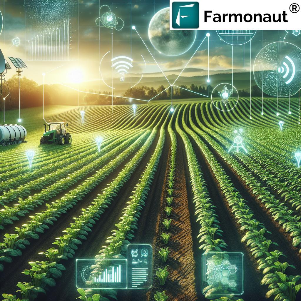
The Future of GPS Agriculture: Emerging Technologies
GPS-powered farming doesn’t stand still. Here’s what’s next on the horizon:
- Autonomous Equipment: GPS, sensors, and AI enable autonomous tractors, drones, and sprayers for fully or partially unmanned operations. Real-time machine-to-machine communication optimizes multi-vehicle coordination and boosts productivity.
- AI & Analytics: Combining GPS location data with machine learning drives predictive analytics —from disease forecasting to resource allocation, powered by the IoT in Agriculture (Internet of Things).
- Connectivity Movement: As rural broadband and satellite internet access improve, farmers will benefit from seamless, cloud-based analytics and real-time reporting in even the most remote areas.
Farmonaut continues to innovate—bringing AI-powered advisory, blockchain, satellite imaging, and seamless global access to the fingertips of every farmer.
Farmonaut Subscription Plans
Ready to bring precision agriculture to your farm—without hardware or complex installations? Explore affordable satellite-based Farmonaut solutions below.
Visit Farmonaut App to start your precision agriculture journey today.
Precision Farming & GPS in Agriculture: Frequently Asked Questions
- What is GPS in agriculture and why is it important?
- GPS in agriculture is the use of satellite-based navigation to guide equipment, monitor crops, and manage resources with pinpoint accuracy. This technology is the backbone of precision farming, enabling us to minimize waste, boost yields, and farm sustainably.
- What does precision agriculture mean for small farms?
- Precision agriculture systems, especially affordable, app-based options like Farmonaut, democratize access to real-time crop monitoring, mapping, and resource management—making technology-driven farming accessible to even the smallest plots.
- Can GPS technology help reduce environmental impact?
- Absolutely. By precisely applying inputs and optimizing every operation, GPS-powered farms use fewer pesticides, fertilizers, and water, directly supporting sustainable farming practices and environmental stewardship.
- Is Farmonaut’s platform compatible with older machinery?
- Yes! Farmonaut’s satellite-based solutions work independently of most local hardware, reducing the need for on-field upgrades. Even older farms can leverage advanced analytics and monitoring without retrofitting machinery.
- How does Farmonaut keep data secure and private?
- By leveraging secure cloud infrastructure and blockchain traceability (see our traceability service), Farmonaut ensures your information remains safe, private, and under your control.
- What role will AI and IoT play in the future of GPS agriculture?
- AI and IoT create smarter, faster, and more autonomous systems. Integrated with GPS, they enable everything from real-time crop health alerts to predictive field management and fully unmanned equipment.
Conclusion: Embracing GPS Agriculture for a Sustainable Future
We are living in a data-driven revolution. GPS in agriculture is no longer a future trend—it’s today’s difference-maker. From precision planting and targeted input application to crop health monitoring and sustainable water management, GPS is the technology backbone empowering us to farm smarter, cleaner, and more profitably.
Farmonaut is proud to lead the charge—making advanced, satellite-powered insights and real-time farm management tools accessible for farmers and agribusinesses worldwide. Embrace the journey: Less guesswork, more results, and a brighter, more sustainable agricultural future for us all.
Try Farmonaut Platform Now — or integrate Farmonaut data via API for next-level farm data management!