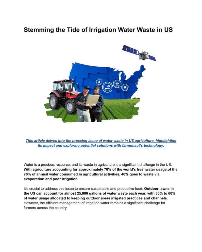
GPS for Precision Farming: 7 Powerful Ways to Boost Yields
“Precision farming with GPS can increase crop yields by up to 20% through optimized planting and resource allocation.”
Introduction: The Era of GPS-Powered Precision Agriculture
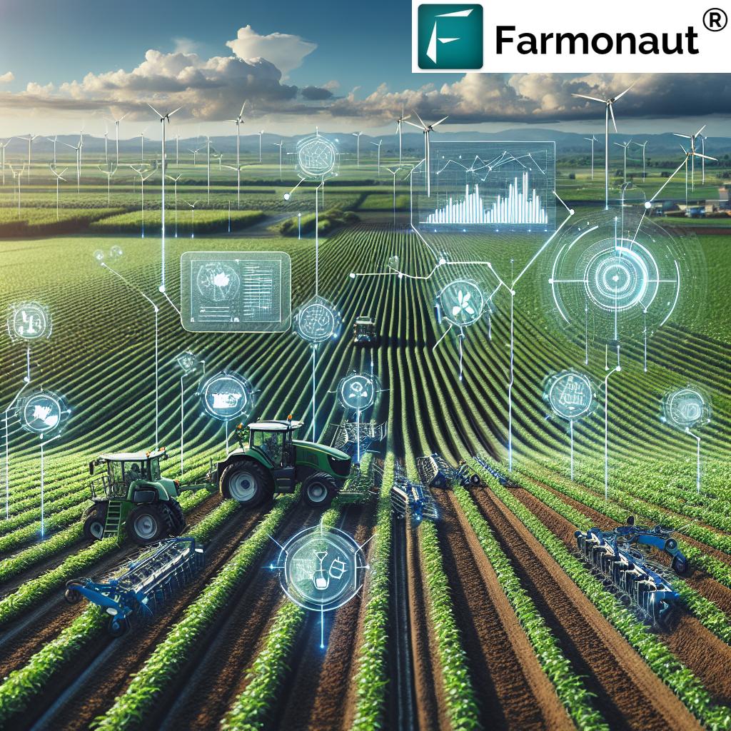
The Global Positioning System (GPS) has moved far beyond navigation—it’s now at the heart of innovation in modern agriculture.
Through precision farming, GPS technology is helping farmers and producers enhance efficiency, improve yields, optimize resource management, and reduce environmental impact. Today’s precision agriculture ecosystem depends on reliable, high-resolution data—and GPS is the unifying technological thread across diverse practices, from field mapping and soil sampling to variable rate application (VRA), yield monitoring, and more.
In this comprehensive blog, we’ll explore the 7 most powerful applications of GPS in precision farming, including the crucial roles of automation, environmental sustainability, and data-driven decision making. Whether you’re a smallholder looking to maximize crop productivity or an agribusiness aiming for optimized resource allocation, understanding these options is vital for both sustainability and profitability.
Benefits Comparison Table for GPS-Enabled Precision Farming Practices
| GPS Application | Estimated Yield Increase (%) | Input Savings (%) | Reduction in Environmental Impact (%) | Labor Hours Saved (per ha) | Cost-Effectiveness |
|---|---|---|---|---|---|
| Field Mapping & Soil Sampling | 10–15% | Up to 10% | Up to 15% | 5–8 | High |
| Variable Rate Application (VRA) | 10–20% | Up to 25% | 20–30% | 6–12 | High |
| Automated Steering & Guidance | 8–12% | 10–15% | 10–20% | 10–16 | High |
| Yield Monitoring & Mapping | 5–10% | 5–8% | 5–8% | 3–6 | Medium |
| Crop Health Monitoring (Drones/Satellites) | 15–18% | Up to 15% | 20–25% | 5–10 | High |
| Environmental Benefits (Conservation) | — | 10–25% | 30–40% | Varies | High |
| Economic Advantages & Data-Driven Decisions | 8–20% | 15–22% | 10–18% | 12–20 | High |
“GPS-guided tractors reduce fertilizer overlap by 10-15%, significantly cutting costs and minimizing environmental impact.”
1. Field Mapping and Soil Sampling: The Foundation of Precision Agriculture
GPS technology in farming begins with the ability to accurately map fields and sample soils. High-resolution GPS coordinates enable farmers to create detailed digital representations of their entire farm, revealing crucial variations in soil fertility, topography, and drainage patterns.
With these maps, precision agriculture becomes actionable:
- Precise Soil Sampling: GPS enables us to collect soil samples from exact locations, ensuring subsequent analysis truly reflects each area’s needs.
- Custom Management Zones: Field mapping helps determine zones requiring different planting techniques, fertilizer application rates, or irrigation strategies.
- Optimized Seeding and Irrigation: By understanding in-field variability, farmers can adjust seeding rates and water application to maximize yield and reduce unnecessary inputs.
- Improved Planning: Digital maps guide machinery, ensuring more efficient use of fuel, labor, and time.
Using Farmonaut’s Large Scale Farm Management Platform, it’s possible to leverage satellite data for large-scale digital mapping and soil health monitoring. By integrating real-time satellite imagery, AI, and analytics, we help producers make smarter decisions that maximize resource allocation and minimize wastage.
2. Variable Rate Application (VRA): Smarter Input Management for Greater Yields
Variable Rate Application (VRA) is one of the most transformative precision agriculture technologies enabled by GPS. Instead of applying fertilizers, pesticides, or herbicides uniformly, VRA leverages GPS and field data to apply inputs at varying rates—precisely matching the needs of different field areas.
- Map-Based VRA: Uses pre-generated prescription maps based on soil sampling, yield maps, or remote imagery to direct application equipment.
- Sensor-Based VRA: Incorporates real-time sensor data measuring in-field conditions, adjusting input rates on-the-fly.
The results? Minimizing waste, reducing environmental impact (less chemical runoff), and improving crop yield through optimized resource use.
- Up to 25% savings on fertilizer and pesticide costs
- Targeted applications minimize non-target exposure and chemical resistance risks
- Supports sustainable farming practices by reducing input excess
Variable rate techniques are easily incorporated on the Farmonaut Precision Agriculture Platform using API and mobile/web apps. This empowers farmers to make data-driven decisions for each season, maximizing yields and minimizing input costs.
3. Automated Steering and Guidance Systems: Precision in Every Pass
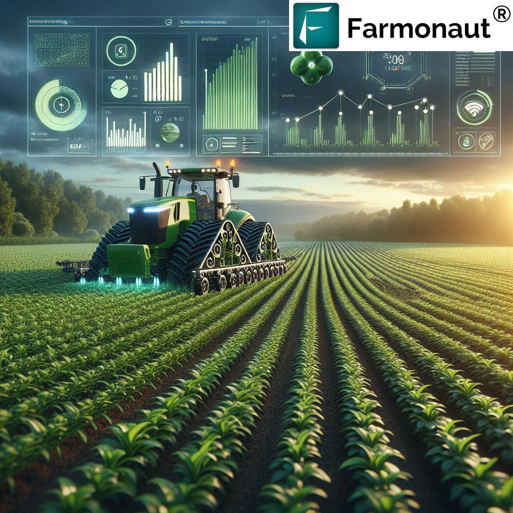
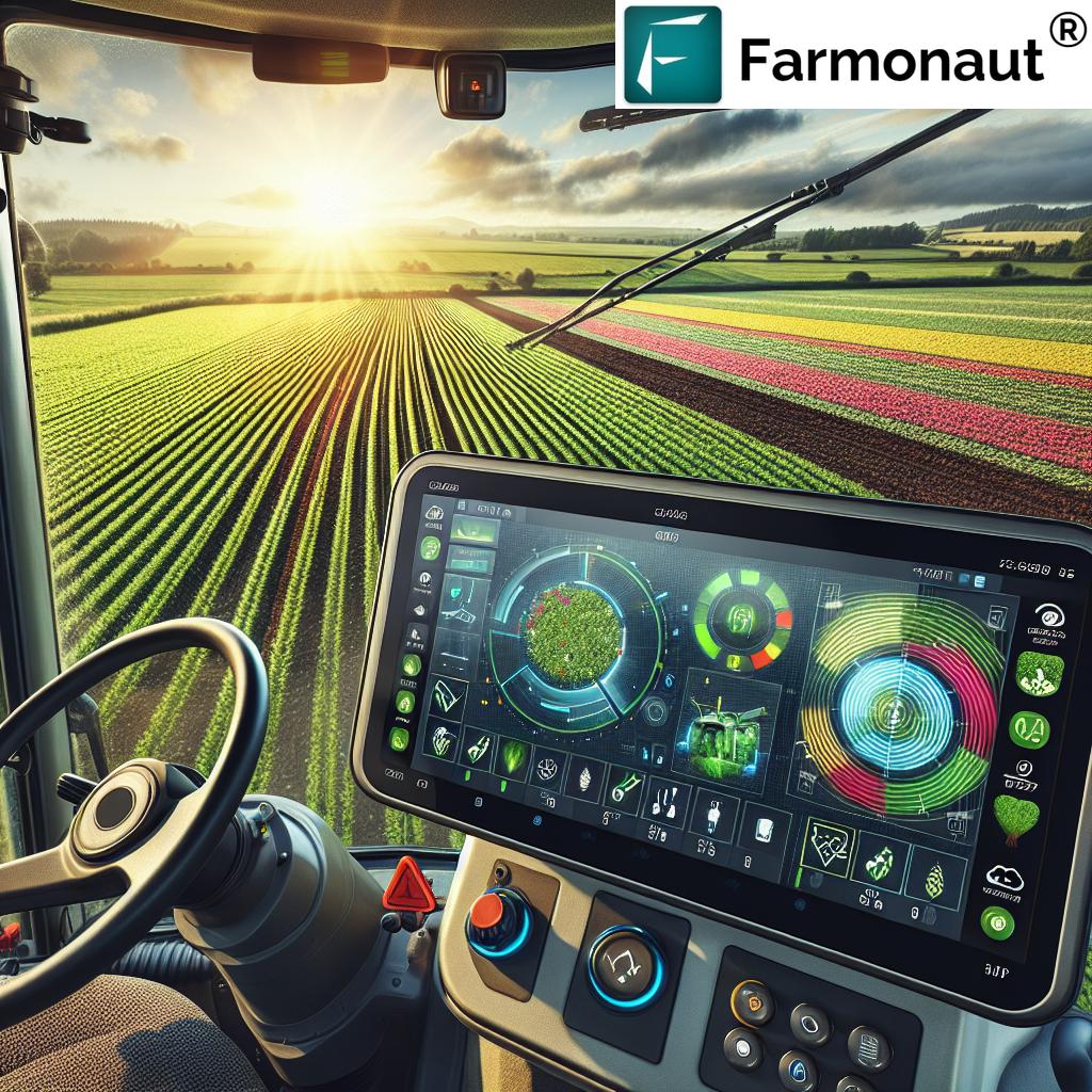
Automated steering and guidance systems use GPS to direct tractors and other farm equipment along meticulously calculated paths. The benefits of this automation in precision farming are profound:
- Minimize Overlaps & Skipped Areas: High-accuracy GPS reduces input waste by preventing double coverage or missed strips in planting, fertilizing, and harvesting.
- Sub-Inch Accuracy: Modern GPS-guided equipment can follow pre-set courses with up to 2.5cm (1 inch) precision, driving unparalleled uniformity in crop growth.
- Reduce Operator Fatigue: Automation lets operators focus on monitoring system performance and safety instead of manual line steering.
- Increased Productivity: Longer working hours and faster operations translate directly into higher annual yields per hectare.
According to industry benchmarks, GPS-enabled auto-guidance results in input savings of up to 15% and annual labor reductions up to 16 hours per hectare.
Looking for seamless fleet optimization in large operations? Our Farmonaut Fleet Management Tools provide digital oversight of agricultural machinery, delivering both efficiency and transparency in daily field operations.
4. Yield Monitoring & Mapping: Data-Driven Performance Analysis
Crop yield monitoring harnesses GPS to track harvest outputs by specific field areas. Yield maps are generated by collecting GPS-tagged data from combine harvesters or sensors, revealing intra-field productivity variations.
- Identify High & Low Yield Zones: Pinpoint under-performing sections and investigate underlying causes—from soil texture to pest pressure.
- Inform Future Strategies: Use years of yield data to refine VRA maps, field rotation planning, and input strategies.
- Benchmark for Financial & Rental Agreements: Yield history can be essential documentation for securing crop loans and insurance products, further derisking agricultural investments.
Using Farmonaut’s yield monitoring capabilities, precision agriculture now integrates not only season-long field performance analysis, but also AI-driven predictions for the next cycle. This empowers smarter planning and more reliable returns.
5. Crop Health Monitoring via Drones & Satellites
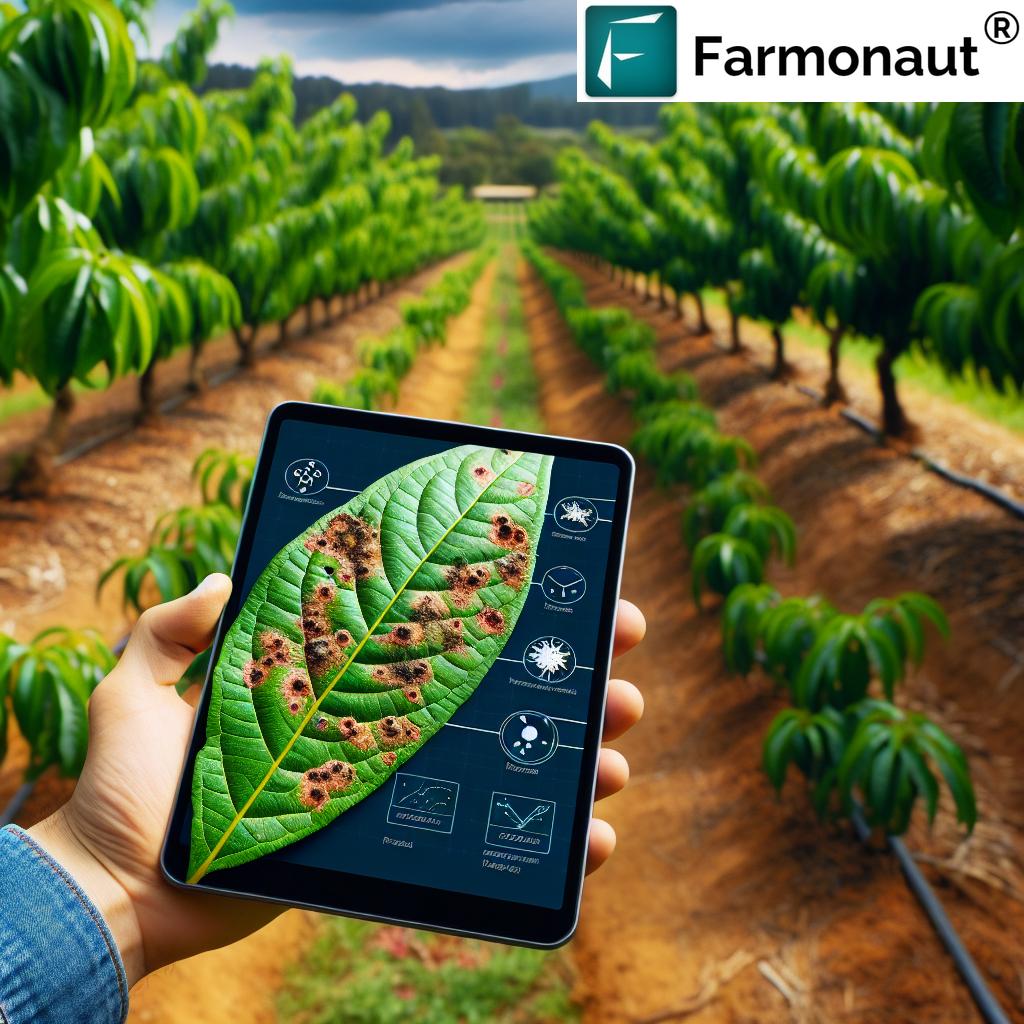
Advanced satellite and drone imagery—guiding technologies at the core of Farmonaut’s solutions—are now integrated with GPS systems for near real-time crop health monitoring. This next-generation approach enables:
- Early Detection of Stress: High-resolution NDVI and multispectral imaging spot subtle changes in vegetation health—often before damage is visible.
- Pest & Disease Surveillance: Identify pest outbreaks, fungal infections, or nutrient deficiencies with spatial accuracy, prompting targeted interventions.
- Efficient Resource Utilization: New insights into soil moisture patterns and crop vigor guide precise irrigation and nutrition scheduling.
This proactive approach reduces reliance on broad-spectrum chemical applications and supports sustainable farming practices. Learn more about resource optimization by trying out our mobile and web app.
Interested in blockchain-based traceability? Farmonaut’s Traceability Solutions use GPS-tagged data to verify product origins, ensuring transparency and consumer trust along the supply chain.
6. Environmental Benefits of Precision Farming
The environmental benefits of precision farming through GPS-guided practices are substantial:
- Reduced Chemical Usage: Targeted input applications help minimize overuse of fertilizers and pesticides, reducing chemical runoff and potential contamination of water sources.
- Soil Conservation: Optimized trafficking patterns lower soil compaction, preserving soil structure and fertility for long-term sustainability.
- Water Conservation: GPS-based irrigation systems (often combined with IoT soil moisture sensors) deliver water with unmatched precision—conserving resources and improving crop growth.
- Lower Carbon Footprint: Efficient input use and fewer field passes decrease emissions and fuel consumption.
Farmonaut’s Carbon Footprinting Tools provide real-time tracking of emissions and resource usage, helping farms meet environmental regulations and advance corporate sustainability goals.
7. Economic Advantages and Data-Driven Decisions
Integrating GPS technology in farming operations consistently delivers robust economic benefits:
- Cost Savings: Precision application reduces outlays for seeds, fertilizers, pesticides, and fuel, improving the bottom line.
- Enhanced Productivity: Optimized resource management in agriculture leads to higher crop yields and improved produce quality, making each season more profitable.
- Data-Driven Decisions: Using agricultural data analytics, farmers can reliably plan planting schedules, harvest times, labor needs, and marketing, reducing risk and uncertainty.
- Value for Small & Large Enterprises: Through fleet & resource management tools, both small-scale and agribusiness operations can scale efficiency affordably and rapidly.
Combine this with access to satellite-verification for crop loans and insurance (via Farmonaut’s API), and you have a future-proofed, resilient farming enterprise ready for the digital age.
Integration with Emerging Technologies: AI, IoT & Analytics in Precision Agriculture
The true potential of GPS in agriculture is realized when it’s integrated with the latest digital technologies:
- Artificial Intelligence (AI): Combines GPS data with machine learning for predictive analytics—forecasting pests, optimizing planting schedules, and customizing farm management advice. Our AI-based advisory systems (like Jeevn AI) provide tailored insights, boosting field-level productivity and resilience.
- Internet of Things (IoT): IoT devices in sync with GPS constantly monitor field conditions (like soil moisture, temperature, humidity) and automate responses (like irrigation activation).
- Blockchain: GPS-powered product traceability solutions leverage blockchain for secure, transparent food supply chains.
- Robotics & Automation: Autonomous tractor and drone operations, relying on sub-inch GPS accuracy, reduce labor requirements and ensure consistent, efficient management across large areas.
Leverage Farmonaut’s API—check API access here or consult detailed developer documentation—to integrate cutting-edge GPS, weather, and crop analytics data into your digital ecosystem.
Challenges & Considerations for GPS in Precision Agriculture
Despite the dramatic advances, several challenges remain when adopting GPS-driven precision agriculture:
- Initial Cost: The up-front investment in GPS hardware, compatible machinery, and software can deter smallholder adopters—though platforms like ours are rapidly democratizing access via affordable subscriptions and satellite-based tools.
- Data Management Demands: Managing, analyzing, and securely storing expanding volumes of spatially-referenced field data requires digital infrastructure and expertise.
- Connectivity Gaps: Some rural or remote areas still lack reliable mobile internet for real-time applications and cloud-based analytics.
These challenges are steadily being erased as cloud infrastructure spreads and affordable, user-friendly platforms (like Farmonaut’s cross-platform app) become more widespread.
How Farmonaut Makes GPS-Driven Precision Farming Accessible
At Farmonaut, our mission is to make precision agriculture affordable and accessible for farmers, agribusinesses, governments, and researchers worldwide.
Through a robust suite of satellite-based, AI-driven farm management solutions available on Android, iOS, web, and as an API, we empower users to benefit from:
- Real-time crop health monitoring via multispectral and NDVI satellite imagery
- AI-powered farm advisory for tailored decision support (Jeevn AI)
- Blockchain-based traceability for secure, trusted supply chains
- Carbon footprint tracking for sustainable growth and compliance
- Fleet and equipment management to streamline operations
Our platform operates on a convenient subscription model—with affordable plans for individual smallholders as well as scalable packages for cooperatives, government agencies, and corporate clients.
Experience carbon footprinting, fleet management, and large-scale digital farm mapping—all from a single integrated dashboard.

Frequently Asked Questions (FAQ) on GPS for Precision Farming
1. What is the main role of GPS in precision agriculture?
GPS enables ultra-precise field mapping, supports variable rate input applications, guides machinery, and underpins data collection for yield and crop health monitoring. It’s foundational for optimizing resource use, maximizing yield, and minimizing environmental impact.
2. Can small-scale farmers benefit from GPS technology?
Yes. With affordable, app-based solutions like Farmonaut, smallholders can access precision agriculture features without heavy investment in hardware—monitoring crop health, mapping fields, and receiving expert advisory.
3. What’s the typical ROI for implementing GPS in farming?
Studies show yield increases of 10-20%, input savings up to 25%, and reductions in labor and fuel. Exact ROI depends on operation size, crops, and technology choice.
4. Does Farmonaut provide API access for custom integration?
Absolutely. Developers and agribusinesses can utilize Farmonaut’s satellite and weather data API for seamless integration within their platforms.
5. How does GPS reduce environmental impact?
By minimizing overlaps, reducing chemical/fertilizer waste, lowering water use through precise irrigation, and cutting unnecessary tractor passes, GPS-guided farming directly supports sustainable agriculture.
6. Is training required to use GPS-powered precision farming apps?
Most modern platforms, including Farmonaut, are designed to be user-friendly. Depending on your prior experience, a brief onboarding or tutorial may be helpful—resources and support are available in-app.
Conclusion: The Future of Precision Agriculture with GPS
GPS-powered precision farming is transforming modern agriculture—from foundational field mapping and soil sampling to smart variable rate application, automated machinery, and impactful crop monitoring. These tools not only boost yields and profitability, but also lead the sector towards eco-friendly, data-driven resource management.
As AI, IoT, analytics, and blockchain integration accelerate the rate of innovation, the opportunities for farmers and agribusinesses will multiply. By lowering barriers to adoption and democratizing access to precision tools via satellite, we at Farmonaut are proud to help producers worldwide harness these advancements for both farm and planet.
Ready to optimize every hectare, improve your bottom line, and promote truly sustainable farming?
Try Farmonaut precision agriculture tools now, or explore our API for enterprise integration.
Transform your farm’s future. Embrace GPS for precision farming and join us in building tomorrow’s agriculture—efficient, sustainable, and profitable.


