“Soil moisture mapping can increase crop yields by up to 20% through precise irrigation management.”
“Precision irrigation solutions can reduce agricultural water usage by as much as 30% annually.”
Table of Contents
- Introduction
- Understanding Soil Moisture Mapping
- Technologies Employed in Moisture Mapping
- Key Applications: Agriculture & Forestry
- Comparative Benefits: Moisture Mapping vs Traditional Irrigation
- Farmonaut: Pioneering Precision Agriculture
- Advanced Moisture Analytics & Irrigation Scheduling
- Promoting Environmental Sustainability in Farming
- Challenges & Practical Considerations
- Future Outlook: Next-Gen Moisture Mapping
- How to Access Farmonaut’s Moisture Mapping Solutions
- Frequently Asked Questions
- Conclusion
Professional Moisture Mapping Services to Boost Yields
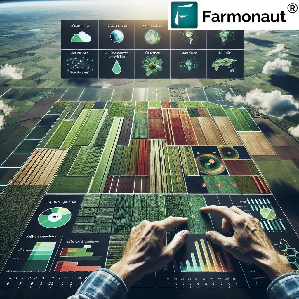
Soil moisture mapping and precision irrigation solutions are reshaping the future of agriculture and forestry. As water resources face increasing stress, efficiently managing and allocating water in farming and forestry has become essential for sustainable productivity, optimal yields, and ecosystem stewardship. Harnessing advanced mapping and monitoring technologies such as remote sensing, soil sensors, and advanced analytics empowers farmers, forest managers, and agronomists to make actionable decisions about irrigation, land preparation, fertilizer application, and overall resource optimization.
In this comprehensive guide, we explore how professional moisture mapping services optimize water management, enhance crop yields, and support sustainable practices in agriculture and forestry.
Understanding Soil Moisture Mapping
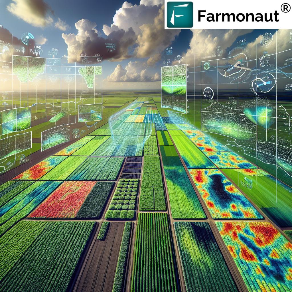
Soil moisture mapping refers to the systematic measurement and visualization of water content within the soil profile across farming or forestry areas. Accurate mapping is essential because soil moisture has a direct impact on plant growth, nutrient uptake, and the overall health of agricultural and natural ecosystems.
- Water Level Dynamics: Soil can retain water inside its pores, impacting plant root access to water and nutrients.
- Yield and Resource Management: Variability in soil moisture across fields means some areas receive too much or too little water, impacting yields and increasing input waste.
- Ecosystem Health: Soil moisture affects microbial activity, disease prevalence, and the resilience of crops and trees to climatic extremes.
Traditional methods for measuring soil moisture frequently rely on manual sampling. While still used in some operations, this approach is labor-intensive, captures only limited points within large areas, and often fails to detect subtle spatial variations critical to crop yield optimization techniques.
Professional moisture mapping services overcome these limitations by employing advanced technologies that provide comprehensive, accurate, and real-time data for strong water management and farming decision-making.
Technologies Employed in Moisture Mapping
1. Remote Sensing in Agriculture
Modern moisture mapping is propelled by remote sensing technologies, which deploy satellites and drones equipped with multispectral sensors to detect spatial and temporal variations in soil moisture. These sensors analyze the reflectance of specific light wavelengths that correspond to water content within the soil. This approach enables non-invasive, large-scale monitoring and visualization of soil moisture, even in the most challenging terrains and broad geographical areas.
- Applications: NASA’s SMAP (Soil Moisture Active Passive) mission is a global standard for remote sensing of soil moisture (source).
- Advantages: Provides comprehensive, repeated coverage of large regions; invaluable for drought and flood monitoring, agricultural planning, and environmental studies.
2. Soil Moisture Sensor Technology
In-situ soil moisture sensors are deployed directly in the field to deliver continuous, high-resolution, real-time measurements of soil moisture at various depths.
- Integration: Moisture sensors integrate with irrigation systems to automate and optimize irrigation scheduling, delivering water only when and where needed most.
- Impact: Peer-reviewed reports confirm that precise soil sensor technology can deliver irrigation water savings of 25-50% while maintaining or improving crop yield (source).
- Data Quality: Offers direct, point-specific, and continuous measurements for high-value and horticultural crops.
3. Advanced Moisture Analytics & Predictive Modeling
The integration and analysis of moisture data collected from remote sensing and in-field sensors is elevated by powerful data analytics, modeling, and machine learning systems.
- Prediction & Planning: Models process moisture measurements to forecast future water levels under various weather and management conditions, helping land managers anticipate irrigation needs and optimize field operations.
- Practical Example: Fusing real-time soil moisture information with weather forecasts aids in predicting upcoming droughts or floods—vital for timely resource allocation (source).
GIS and traceability technologies further streamline the mapping, making data accessible for routine decision-making and regulatory compliance.
Key Applications: Agriculture & Forestry
Precision Irrigation Solutions for Field & Crop Management
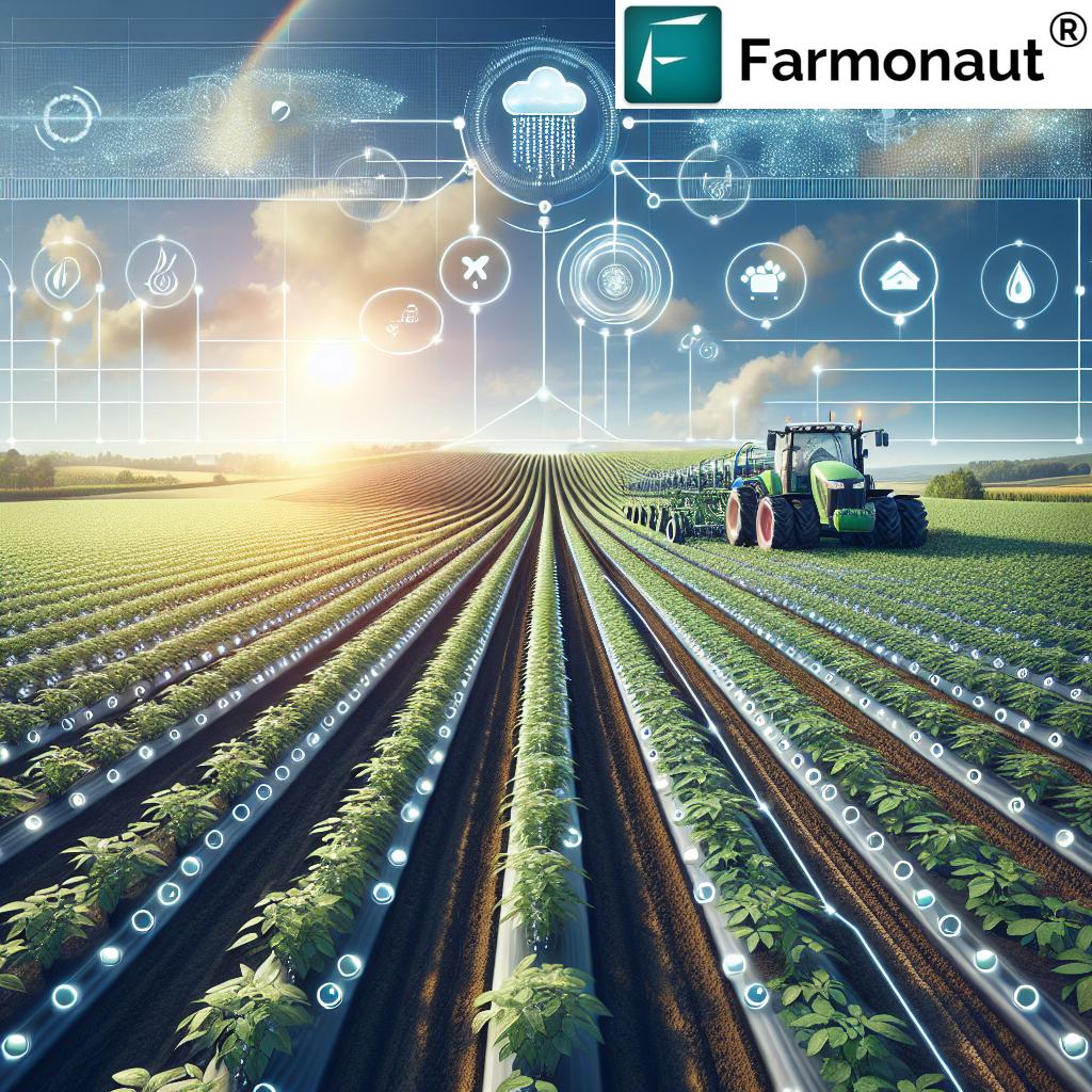
Precision irrigation maximizes crop productivity by synchronizing water delivery with actual moisture levels across localized areas within a single field. Using moisture mapping and sensors, irrigation systems can be controlled by software according to specific mapping data — also known as Variable Rate Irrigation (VRI).
- Reduces water usage by minimizing loss to evaporation and runoff.
- Enables site-specific irrigation scheduling and uniform crop growth.
- Ensures that root zones are always at optimal moisture levels for nutrient uptake and plant health.
Precision irrigation solutions can be further enhanced with large scale farm management tools for multi-field or cooperative planning and monitoring of resources.
Crop Yield Optimization Techniques
Optimal soil moisture underpins plant health, influencing germination rate, disease resistance, and final yield quality. By providing actionable data about spatial and temporal variability, moisture mapping empowers farmers to:
- Adjust input applications (fertilizers, pesticides, and water) only where needed, reducing waste.
- Predict and improve harvesting schedules for grains and perishable crops.
- Enhance crop yield forecasts and market planning.
For instance, advanced moisture analytics support yield forecasting models by correlating moisture profile data with historical yield outcomes.
Forestry: Drought and Flood Monitoring, Timber Harvesting, and Ecosystem Planning
Soil moisture monitoring plays a pivotal role in forest management by:
- Informing timber harvesting schedules to minimize moisture-related defects (e.g., fungal outbreaks, rot) and maximize wood quality.
- Assessing overall ecosystem health— identifying zones under drought or at risk of pest and disease outbreaks.
- Supporting drought and flood monitoring to allow managers to protect vulnerable forested areas.
By leveraging mapping-driven forest advisory solutions, managers gain an integrated approach that enhances sustainability and operational efficiency.
Grain Storage & Post-Harvest Quality Control
Moisture analyzers are vital tools not just in the field, but also during grain storage and drying stages—helping prevent spoilage, reduce waste, and optimize profits for farmers and agricultural businesses. Real-time water content monitoring ensures stored crops remain at safe, market-ready moisture proportions.
“Precision irrigation solutions can reduce agricultural water usage by as much as 30% annually.”
Efficient Resource Usage & Cost Reduction
Soil moisture mapping delivers savings across every step of the agriculture resource optimization chain:
- Reducing water use = lower irrigation costs and input expenses.
- Targeted fertilization and pesticide application preserve soil health and minimize environmental impact.
- Less labor is needed compared to manual sampling and traditional methods.
Comparative Benefits: Moisture Mapping vs Traditional Irrigation
| Parameter | Traditional Irrigation (Estimated Values) |
Moisture Mapping-Enabled Irrigation (Estimated Values) |
Improvement (%) |
|---|---|---|---|
| Water Usage per Hectare (L) | 8,000,000 | 5,600,000 | 30% Reduction |
| Yield Increase (%) | 0 (Baseline) | Up to 20% | 20% Gain |
| Input Cost Savings (%) | 0 | 15-30% | Up to 30% |
| Labor Requirement (hours/season) | >180 | <90 | 50% Reduction |
| Sustainability Score (Index out of 10) |
4 | 8 | +100% |
These insights demonstrate that professional moisture mapping can dramatically reduce water usage and input costs, while significantly increasing yields and supporting environmental sustainability in farming.
Farmonaut: Pioneering Precision Agriculture with Soil Moisture Mapping
At Farmonaut, we are committed to making precision agriculture affordable and accessible for farmers, cooperatives, foresters, agribusinesses, and policymakers globally. Our platform leverages satellite-based monitoring, AI, and blockchain-driven traceability to deliver actionable, data-driven insights for every stage of farm and forest management.
- Real-time Crop Health and Soil Moisture Monitoring: Our system tracks vegetation health (NDVI), soil moisture levels, and other critical parameters for efficient plant growth and resource optimization.
- Jeevn AI Advisory System: Delivers advanced crop management strategies, personalized farm advice, and weather-based recommendations to enhance yields.
- Blockchain-based Traceability: Ensures transparency and traceability for products from inputs to harvest, building greater trust in the agricultural value chain. Learn more about Traceability.
- Fleet and Resource Management: Optimize operations, reduce logistics cost, and improve utilization of equipment and personnel with integrated fleet management solutions.
- Carbon Footprinting: Track your farm or agribusiness’s real-time environmental impact, helping you take steps towards sustainability and compliance. Explore Carbon Footprinting features.
- Financial Accessibility: Our verification tools, based on satellite data, support banks and insurance providers in crop loan and insurance processes. See how Farmonaut speeds up Crop Loan & Insurance.
Every day, we empower land managers with comprehensive mapping, actionable data, and digital tools for environmental sustainability in farming.
To integrate our real-time satellite and weather data into your own systems, check the Farmonaut API or API Developer Docs.
Advanced Moisture Analytics & Irrigation Scheduling
Advanced moisture analytics bring together millions of data points from satellites, sensors, and weather feeds. By precisely quantifying water presence and movement within the soil profile, these analytics systems guide irrigation scheduling for optimal crop growth throughout the growing season.
Key Features of Advanced Moisture Analytics:
- Geospatial Visualization: GIS-based maps display areas with varying soil moisture, enabling targeted field operations.
- Automatic Scheduling: Smart systems connect with irrigation controllers for on-demand, site-specific watering.
- Integration: Incorporates soil type, topography, crop stage, and weather conditions for complete planning solutions.
- Historical Trends: Tracks changes in moisture levels and input usage over time, supporting better future planning and continuous improvement initiatives.
By leveraging these analytics, farmers and managers can make data-driven decisions that optimize resource use and maximize profitability.
Promoting Environmental Sustainability in Farming
Environmental sustainability in farming is no longer optional—it’s imperative for the agricultural industry’s long-term survival and profitability.
- Moisture mapping technologies reduce runoff and prevent over-irrigation, protecting local water tables and neighboring ecosystems.
- Accurate irrigation timing minimizes erosion, nutrient leaching, and evaporative losses.
- Optimized input application lessens the environmental impact of fertilizers and pesticides.
- Moisture analytics support in carbon footprint tracking and in achieving climate goals as required by new regulatory frameworks. Read more on Carbon Footprinting strategies.
- Traceability and compliance are enhanced with blockchain-based traceability solutions, validated by mapping records.
Implementing moisture mapping and precision irrigation solutions is one of the most effective ways to align farm operations with the UN Sustainable Development Goals and national water management policies.
Challenges & Practical Considerations for Professional Moisture Mapping
While the advantages are substantial, some practical challenges remain for farmers and land managers seeking to implement professional moisture mapping services:
- Data Integration: Combining soil moisture mapping data from satellites, field sensors, weather stations, and management software requires robust, often cloud-based systems and synchronized data formats.
- Cost of Implementation: Upfront investment in technology (sensor networks, software platforms, or drone imagery) may be significant, though cost savings and yield improvements support a strong long-term business case.
- Expertise & Analysis: Interpreting complex moisture mapping data depends on agronomic and digital literacy, especially in large organizations or in regions transitioning from traditional methods.
- Data Security & Traceability: Blockchain and secure data sharing frameworks offer new ways to address traceability, data control, and regulatory compliance.
Integrated platforms—such as the Farmonaut app and web dashboard—help address these challenges by providing user-friendly, guided workflows from sampling to decision support.
Future Outlook: Next-Gen Moisture Mapping in Sustainable Agriculture
The landscape of soil moisture mapping is advancing rapidly. Next-generation developments include:
- Cheaper, More Portable Sensors: Allow on-demand monitoring for even smaller farms or temporary installations.
- Machine Learning & AI: Predict irrigation and drought risk, match inputs to expected weather conditions, and refine models for each unique field.
- API Access & Data Interoperability: Cloud-based APIs enable seamless integration of mapping data into third-party farm management platforms and research tools. (Integrate now with the Farmonaut API)
- Climate Resilience Planning: Moisture mapping data is increasingly valuable for government policy, micro-insurance, and emergency response during drought and flood disaster situations.
As these technologies become more accessible, moisture mapping will become standard practice for sustainable agriculture and forestry management—driving higher productivity and resilience globally.
How to Access Farmonaut’s Moisture Mapping and Crop Monitoring Solutions
We offer multiple ways for farmers, agronomists, corporate clients, and government bodies to access our advanced soil moisture mapping and remote sensing services.
- Web and Mobile Apps: Access timeline crop monitoring, field-wise moisture analytics, NDVI, and more on any device.
- Developer APIs: For custom integrations, our API and open API Docs enable seamless embedding of satellite and weather data into your enterprise systems.
- Advisory & Enterprise Solutions: We provide tailored packages for large agribusiness, NGOs, and institutions. Learn about our agro admin large-scale management tools.
- Standalone Features: Access individual modules for carbon footprinting, product traceability, and fleet management.
Frequently Asked Questions
What is soil moisture mapping and why is it important?
Soil moisture mapping involves systematic measurement and visualization of water levels within the soil profile across farms or forests. It is vital for guiding precision irrigation, improving crop yields, reducing resource waste, and supporting environmental sustainability in agriculture.
How does remote sensing in agriculture help in water management?
Remote sensing in agriculture utilizes satellites and drones to collect large-scale, real-time data on vegetation and soil moisture. This enables farmers to optimize water application, monitor field variability, and better respond to weather conditions such as drought and flood risks.
Can precision irrigation solutions work with existing irrigation systems?
Yes. Modern precision irrigation technologies can often be integrated with existing systems, or implemented incrementally by adding soil moisture sensors and software-driven controllers. This helps farmers transition gradually from traditional irrigation methods to mapping-driven water management.
What kind of cost savings can I expect from adopting moisture mapping technology?
By adopting soil moisture mapping and advanced moisture analytics, farmers can expect:
- Up to 30% reduction in water usage per hectare
- Up to 20% increase in crop yields
- 15-30% savings in input and irrigation costs
- 50% reduction in labor hours
Results depend on farm size, crop type, and climate.
How does Farmonaut ensure data security and traceability?
We leverage blockchain technology for product and data traceability, ensuring all inputs and field operations are transparently recorded and verifiable, while protecting user confidentiality in line with data protection standards.
Do Farmonaut solutions support environmental regulations and compliance?
Yes. Our systems provide reporting and visualization tools that make it easier for users to comply with sustainability and water management regulations, including carbon footprint tracking and traceability documentation.
Can I use Farmonaut on mobile and integrate its data with other agritech tools?
Absolutely. Our platform is available via Android, iOS, web app, and APIs. Our open API ecosystem allows developers and large organizations to add Farmonaut’s mapping and weather data into their own software, machines, and analytics pipelines.
Conclusion: Transforming Agriculture with Professional Moisture Mapping Services
Professional moisture mapping services stand at the forefront of the agricultural digital revolution. By integrating advanced technologies—including remote sensing, soil moisture sensor technology, and data analytics—these solutions deliver accurate, timely, and site-specific insights for farmers, forestry professionals, and resource managers. The benefits are manifold: optimized water management for crop yield, reduced input waste, enhanced yields, and broader environmental sustainability in farming and forestry.
At Farmonaut, we are dedicated to making these advanced moisture mapping solutions accessible and affordable, helping you optimize every drop of water and every square meter of land. As precision farming becomes mainstream, agriculture resource optimization will drive the next wave of sustainable, prosperous agricultural and forestry operations.
Start your journey to better yields, smarter water management, and environmental resilience with Farmonaut’s suite of digital solutions.


