Unmanned Aerial Vehicles (UAVs) for Exploration: 7 Ways – Transforming Precision Agriculture in 2025
Overview: How Unmanned Aerial Vehicles (UAVs) Have Revolutionized Agricultural Exploration
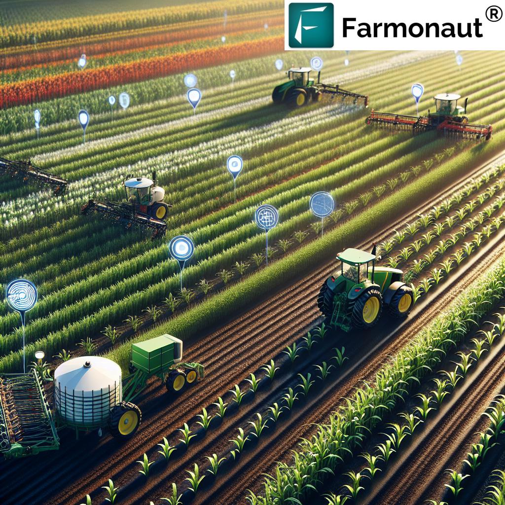
Unmanned Aerial Vehicles (UAVs) for Exploration are commonly known as drones. Once seen as futuristic gadgets, they are now mainstream, critical tools within agriculture, transforming farming into a precise, data-driven science in 2025. The sector has seen a seismic shift: drones, equipped with advanced sensors and imaging technologies, are indispensable for farmers who aim to increase yield, reduce costs, and practice sustainable farming.
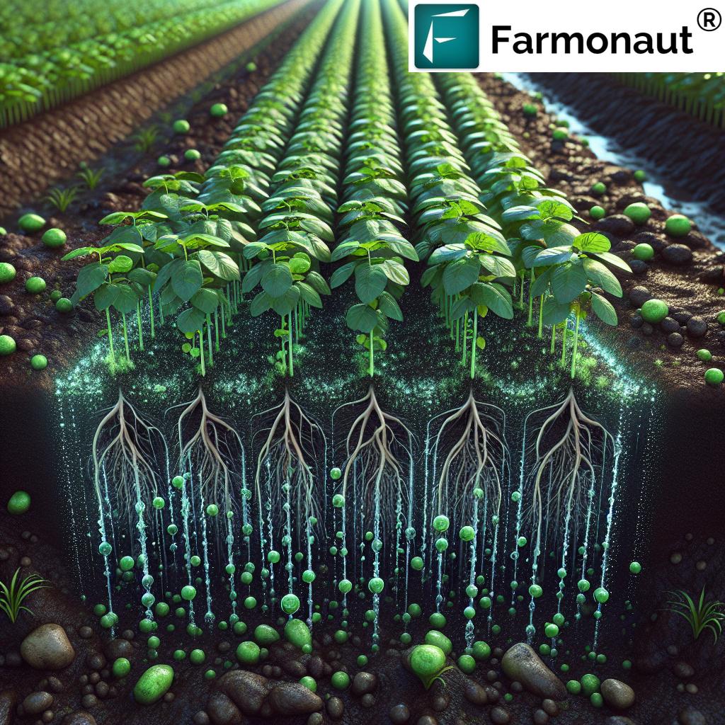
Traditional agricultural exploration relied on manual scouting and laborious surveys across vast farmland. Today, UAVs provide a bird’s-eye perspective, delivering comprehensive, real-time analysis of crops and fields. They collect critical data on soil health, crop condition, pest infestations, water distribution, and nutrient levels—all with unprecedented accuracy and at a speed unimaginable a decade ago.
Modern agricultural UAVs are transforming the way farmers monitor and manage crops, enabling timely intervention with precise resource allocation. This transition from labor-intensive to technology-driven management is one reason why agricultural yield is consistently trending upward, even in the face of climate change and resource variability.
The Core Role and Capabilities of UAVs in Today’s Precision Agriculture
- Provide comprehensive, high-resolution imagery over vast areas with minimal human labor.
- Enable continuous, frequent monitoring to detect issues early in the growth cycle or environmental shifts.
- Facilitate precise interventions in water, nutrient, and chemical application, reducing environmental and economic costs.
- Support sustainable agriculture by optimizing input use, minimizing waste, and reducing negative ecological impact.
In essence, UAVs are not just add-ons—they are central to the modern farmer’s toolkit, reshaping precision agriculture for the smarter, more resilient farms of tomorrow.
Technological Advancements Driving Rapid UAV Adoption in Agriculture
The explosion in UAV adoption for agricultural exploration is no accident. Several technological advancements since 2020 have made drones more capable, accessible, and powerful than ever before, enabling even small and medium-size farms to tap into smart agri-tech.
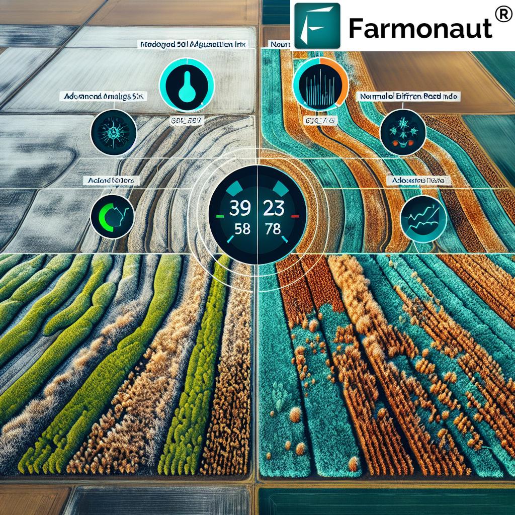
1. Sensor Breakthroughs: Multispectral, Hyperspectral, and Thermal Imaging
- Multispectral Cameras: Now compact and affordable, they capture detailed images across different wavelengths. This enables early detection of plant stress, disease, or water deficiency—long before visible symptoms appear.
- Hyperspectral Imaging: Delivers even deeper analysis, identifying deficiencies or toxicities in nutrient levels, soil makeup, or pesticide residue.
- Thermal Sensors: Detect water distribution anomalies, heat stress, and irrigation issues with unmatched precision.
2. Artificial Intelligence (AI) and Machine Learning Integration
The vast amount of data collected by UAVs is transformed using AI algorithms—turning raw images into actionable insights. AI models offer:
- Automated crop stage classification
- Advanced weed and pest detection
- Biomass measurement and yield prediction
- Enhanced resource allocation analytics for irrigation, fertilizers, and pesticides
3. Improvements in UAV Design and Autonomy
- Longer battery life & efficient propulsion: Modern UAVs cover larger areas—some now survey 1,000 acres in a single flight.
- Automated flight planning: Software enables automated, reproducible flights and efficient route planning.
- Robust, weatherproof builds: Farmers continue monitoring fields even in challenging conditions.
4. Increased Accessibility: Lower Costs and User-Friendly Platforms
- Hardware prices have fallen, and rental/contract options have expanded.
- Platforms (like Farmonaut’s) offer seamless integration between data collection, analysis, and recommendations via app or API.


If you require automated integration for your farm data, utilize the Farmonaut API for seamless data access, and review the API Developer Docs for detailed guidelines.
Comparative Benefits Table: Unmanned Aerial Vehicles (UAVs) for Exploration in Agriculture (2025)
Below, discover how each of the seven key UAV applications for exploration powers up agricultural productivity, reduces costs, and highlights the technological edge in precision 2025 farming.
| UAV Application | Description | Estimated Yield Improvement (%) | Estimated Cost Reduction (%) | Notable Sensor/Technology Used |
|---|---|---|---|---|
| Crop Health Monitoring | Detect diseases, pests, or stress early with high-resolution and multispectral imaging. | 10–15% | 5–12% | Multispectral & Thermal Sensors, AI analytics |
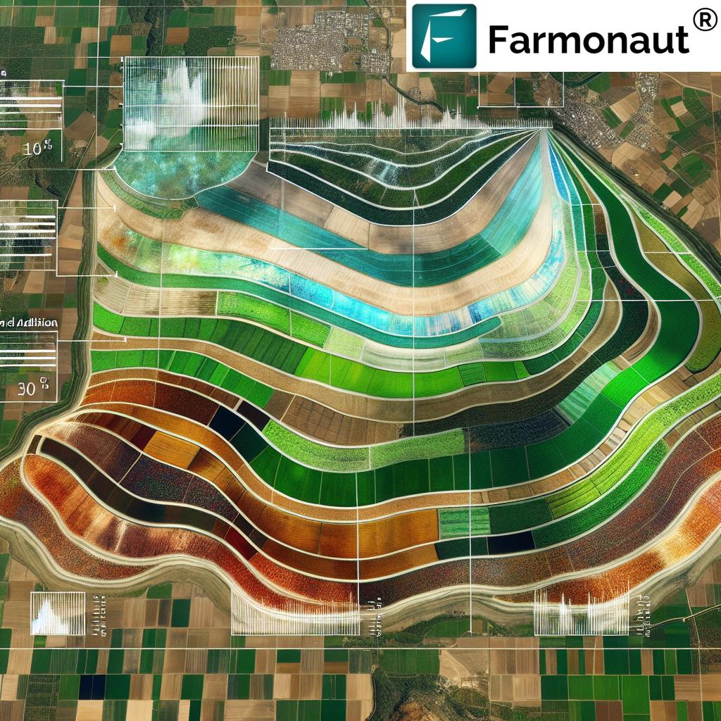
| Soil & Field Analysis | Assess terrain, soil variability, and fertility pre-planting. | 5–10% | 8–15% | Hyperspectral Imaging, Elevation Mapping |
| Irrigation Management | Identify water distribution imbalance and dry zones for precise interventions. | 8–12% | 10–18% | Thermal Sensors, AI water stress models |
| Crop Mapping | Generate high-accuracy field maps for plant counts, growth, and spatial variability. | 10–20% | 7–15% | RGB, Multispectral Cameras, AI analytics |
| Yield Estimation | Predict harvest outcome and optimize supply strategy using crop stage and biomass data. | 8–15% | 7–12% | AI Predictive Models, Multispectral Imaging |
| Disaster & Damage Assessment | Assess and document flood, storm, or pest event impact for recovery & insurance. | 5–10% | 10–20% | High-Res Imaging, AI-based quantification |
| Variable Rate Application | Apply water, fertilizer, or pesticide only where required, using precise maps. | 7–13% | 17–25% | Prescription Maps, Multispectral Sensors |
Unmanned Aerial Vehicles (UAVs) for Exploration: 7 Key Ways Powering Agriculture in 2025
Let’s dive deeper into the seven most critical UAV applications that are transforming agricultural exploration, driving sustainable practices, yield gains, and profit margins—backed by smart technology and actionable data.
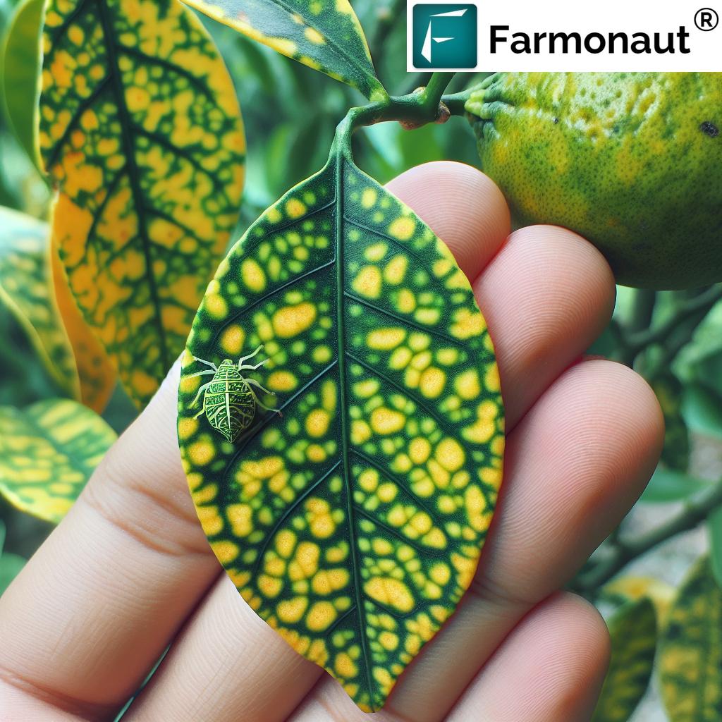
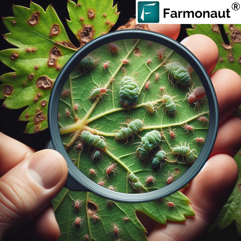
1. Crop Health Monitoring and Early Stress Detection
UAVs fly over fields, collecting data with multispectral and thermal sensors, capable of detecting diseases, pest outbreaks, nutrient deficiency, and water stress before they become visible to the human eye. AI models process this information and flag areas for targeted intervention.
- Early intervention prevents yield loss
- Enables localized pesticide or nutrient application, cutting costs and environmental impact
- Supports compliance with sustainability metrics, essential for farm certifications
See how satellite-based crop health monitoring amplifies these insights:
2. Soil and Field Analysis for Smart Planting Decisions
Prior to planting, UAVs (and satellites) map the terrain to reveal soil variability, moisture content, and textural differences. Hyperspectral imaging helps identify nutrient deficiencies and problem areas so farmers make data-driven decisions on seeding rates, fertilizer application, and irrigation planning.
- Precise nutrient/fertilizer planning
- Optimized seed placement and population for higher yields
- Foundational for large-scale farm management solutions
3. Irrigation Management for Water Efficiency and Climate Resilience
Thermal imaging and AI models onboard UAVs identify areas experiencing water stress or excess. By accurately mapping water distribution across fields, precision irrigation schedules are implemented, reducing water waste and bolstering resilience against climate variability.
- Reduce total water usage up to 20% over traditional methods
- Avoid yield loss during drought
- Facilitate “spot irrigation” targeting only stressed zones
4. Crop Mapping—Precision, Growth Stages, and Spatial Variability
Using RGB and multispectral cameras, UAVs deliver highly accurate crop maps, revealing plant counts, growth stages, and spatial variation across fields. Drone-acquired images feed into AI analytics that classify crop condition, biomass, and identify yellowing, pest, or weed patches.
- Pinpoint declining plant health down to a single square meter
- Accurately calculate replanting needs, or adjust input distribution
- Essential for carbon footprinting in agriculture
5. Yield Estimation—Forecasting and Market Planning
Fusing regular UAV flights and AI models, farmers attain accurate yield predictions months before harvest. Such data are essential for:
- Informing supply chain and logistics planning
- Negotiating contracts and pricing more effectively
- Reducing storage and wastage costs
Visit our dedicated pages to learn how satellite-based yield and crop insurance can decrease insurance fraud and speed up claim settlement for both small and large operations.
6. Disaster and Recovery Assessment—Minimizing Losses
In the event of floods, storms, or extreme pest infestations, UAVs rapidly survey affected areas, quantify damage with high-resolution images and AI analytics, and support evidence-based recovery plans.
- Expedite insurance processes by providing geotagged evidence
- Support transparent documentation for banks and insurers (learn more about traceability)
- Enable staged recovery efforts and resource allocation
7. Variable Rate Application—Optimized Input Use for Sustainability
With precise geospatial data, UAVs generate prescription maps to direct variable rate application of fertilizer, water, and crop protection products. This ensures inputs are applied only where needed —reducing waste and maximizing resource efficiency.
- Lower input costs and environmental risk
- Meet regulatory standards for sustainable agriculture
- Enable scalable practices for fleet management and equipment optimization
Farmonaut: Satellite-Driven Precision for Smarter Farms in 2025
While UAVs for exploration provide unmatched, rapid on-demand data, integrating them with satellite-driven technologies creates a full-spectrum monitoring solution for modern farms. At Farmonaut, our mission is to make satellite-driven insights affordable and accessible to all. By combining satellite imagery, AI analytics, and blockchain traceability, we empower farmers and agri-businesses with:
- Real-time monitoring—from crop health to soil and environment
- AI-powered advisory (see: crop, plantation & forest advisory)
- Blockchain-based supply chain transparency and verification
- Environmental impact monitoring for sustainability & compliance
- Resource management tools—optimizing everything from irrigation to vehicle fleets
Our web and mobile apps let farmers instantly access satellite and AI insights for smarter decisions from planting to harvest, and integrate with UAV-derived data. Explore the carbon footprinting tools and traceability solutions for sustainability leadership.
Accessible Solutions—From Smallholders to Large Enterprise Farms
Whether you manage a few hectares or multiple farms across continents, our affordable, scalable satellite services help improve yields, reduce losses, and ensure sustainability.
- Use satellite and drone data together for continuous, layered monitoring
- Access insights via web or mobile for actionable intelligence anytime, anywhere
- Plug-and-play APIs for enterprise data pipelines and logistics platforms
Try Farmonaut’s subscription today—affordably bring precision farming into your hands for 2025 and beyond.
Challenges, Considerations, and the Future Outlook for UAVs in Agriculture
Key Challenges in UAV Adoption and Operation
- Regulatory restrictions: 2025 brings evolving airborne rules; farmers must ensure compliance regarding drone flight paths, altitude, and data privacy.
- Technical proficiency: There remains a need for skilled operators or managed service providers, though user-friendly platforms are reducing barriers.
- Data processing and integration: The explosion in sensor data requires robust analytics and farm management integration tools—see why platforms like Farmonaut’s large-scale farm management suite are crucial.
- Battery and payload limitations: Despite improvements, continuous innovation is needed to enhance coverage and sensor capabilities further.
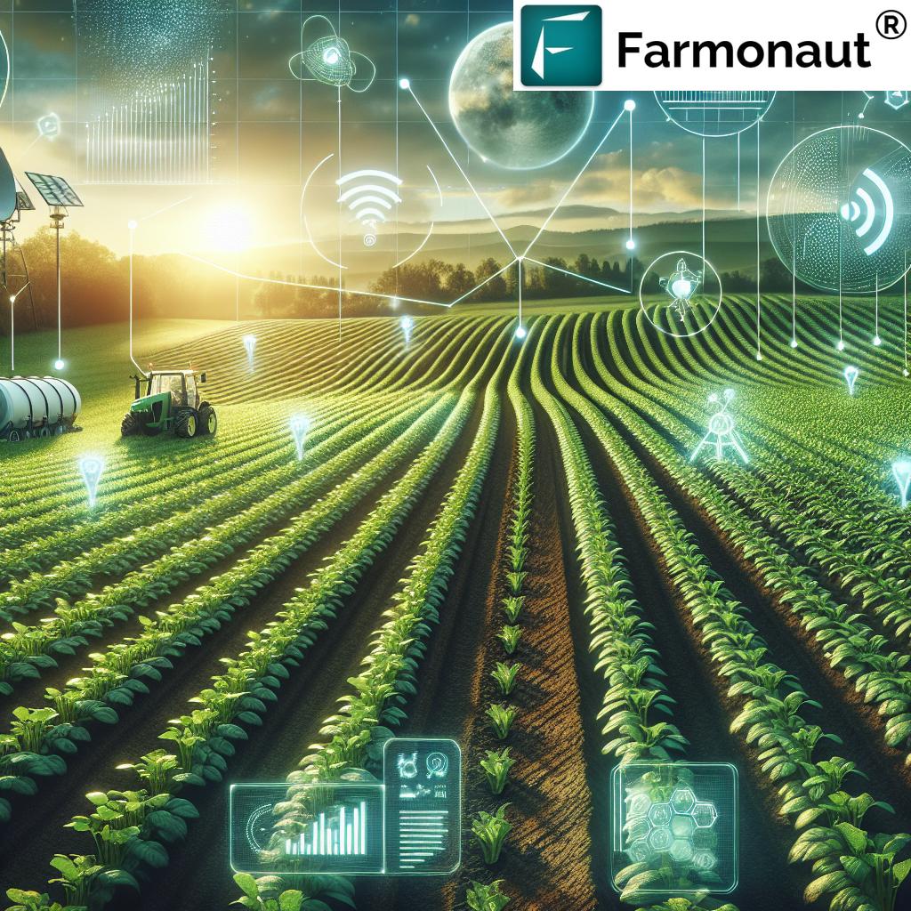
The Future Outlook: Smart, Connected, and Automated Agriculture
- Drones will routinely operate in swarms, enabling coordinated, large-scale exploration and spraying across megafarms.
- Integration with IoT, autonomous tractors, and satellite technology will create “digital twins” of entire farming operations—maximizing resource allocation and risk prediction.
- Enhanced AI analytics will continue to evolve, offering even more precise yield, disease, and risk forecasts, connected directly to supply chain software.
- Blockchain and traceability solutions will standardize, offering transparent food supply chains and verified compliance for export, sustainability, and insurance purposes.
As UAVs for exploration continue their ascent, farms that embrace this wave of technology will be the leaders of resilience, profitability, and sustainability in the agricultural world.
Click here for a deep-dive on sustainable, carbon-conscious farming with Farmonaut
Frequently Asked Questions (FAQ): UAVs for Exploration in Agriculture
-
What are Unmanned Aerial Vehicles (UAVs) for Exploration in agriculture?
UAVs (commonly called drones) are remote-controlled or autonomous flying vehicles equipped with cameras and sensors. In 2025 agriculture, they explore fields to collect real-time data on crop health, soil, water, pest infestations, and more for smarter, precise decisions. -
How do drones enhance precision farming?
By providing frequent, high-resolution imagery and sensor data, UAVs allow pinpoint detection of crop issues, efficient resource allocation, optimized irrigation, and yield forecasting—leading to increased yields and reduced costs. -
What types of sensors are used on agricultural drones?
The most common are multispectral, hyperspectral, and thermal sensors. These enable early stress detection, precise mapping, and monitoring of water and nutrient levels. -
How does AI work with UAVs in farming?
AI and machine learning models process the large volumes of data UAVs collect, providing instant, actionable insights like disease hotspots, stage-of-growth maps, or predictive yield analytics. -
Can smallholders afford UAV-based exploration?
Yes! Costs are dropping and service-based or shared drone models, as well as app-driven platforms like Farmonaut, make UAV tech accessible for farms of all sizes. -
How do UAVs help with sustainable agriculture?
UAVs reduce chemical and water waste, support targeted interventions, and help achieve regulatory compliance and environmental certifications. -
Where can I access real-time satellite and drone data for my farm?
Explore Farmonaut’s real-time platform via web, Android, or iOS app, or plug in our API for seamless data integration and monitoring. -
What is the future of UAVs in agriculture?
UAVs will continue becoming more autonomous, affordable, and deeply integrated with AI, IoT, and traceability tech—making “smart farms” the new industry norm.
Conclusion: Pioneering the Future of Data-Driven Agriculture with UAVs for Exploration
In 2025, Unmanned Aerial Vehicles (UAVs) for Exploration are not just enhancing technology—they are transforming the very foundations of modern agriculture. Backed by AI analytics, advanced sensors, and satellite integration, UAVs empower farmers to make faster, more precise, and sustainable decisions for every season and every field.
As technology continues to advance and Farmonaut expands its affordable, real-time monitoring solutions, the world’s agricultural sector stands ready for a future of resilience, yield improvement, and environmental stewardship. Join us now to lead in precision farming, resource efficiency, and sustainability for the farm of tomorrow.
For developers: Integrate real-time, field-scoped data directly into your agricultural software or apps via the Farmonaut API. Review our API documentation for advanced usage.