Yield Mapping: 7 Ways to Boost Precision Agriculture
Meta Description: Discover how yield mapping in precision agriculture empowers farmers to optimize field productivity using advanced technology, accurate data, and actionable insights. Unlock the secrets to higher yields and data-driven crop management.
“Yield mapping can increase crop productivity by up to 20% through precise data-driven field management.”
Table of Contents
- Yield Mapping: A Summary
- Understanding Yield Mapping
- Components of Yield Mapping Systems
- Applications of Yield Mapping
- Advancements in Yield Mapping Technology
- 7 Ways to Boost Precision Agriculture with Yield Mapping
- Comparative Feature Table: Advanced Yield Mapping Methods
- Farmonaut Platform: Yield Mapping Innovation
- Challenges and Considerations in Yield Mapping
- FAQ on Yield Mapping in Precision Agriculture
- Conclusion: Yield Mapping Paving the Way for Smarter Agriculture
Yield Mapping: A Summary
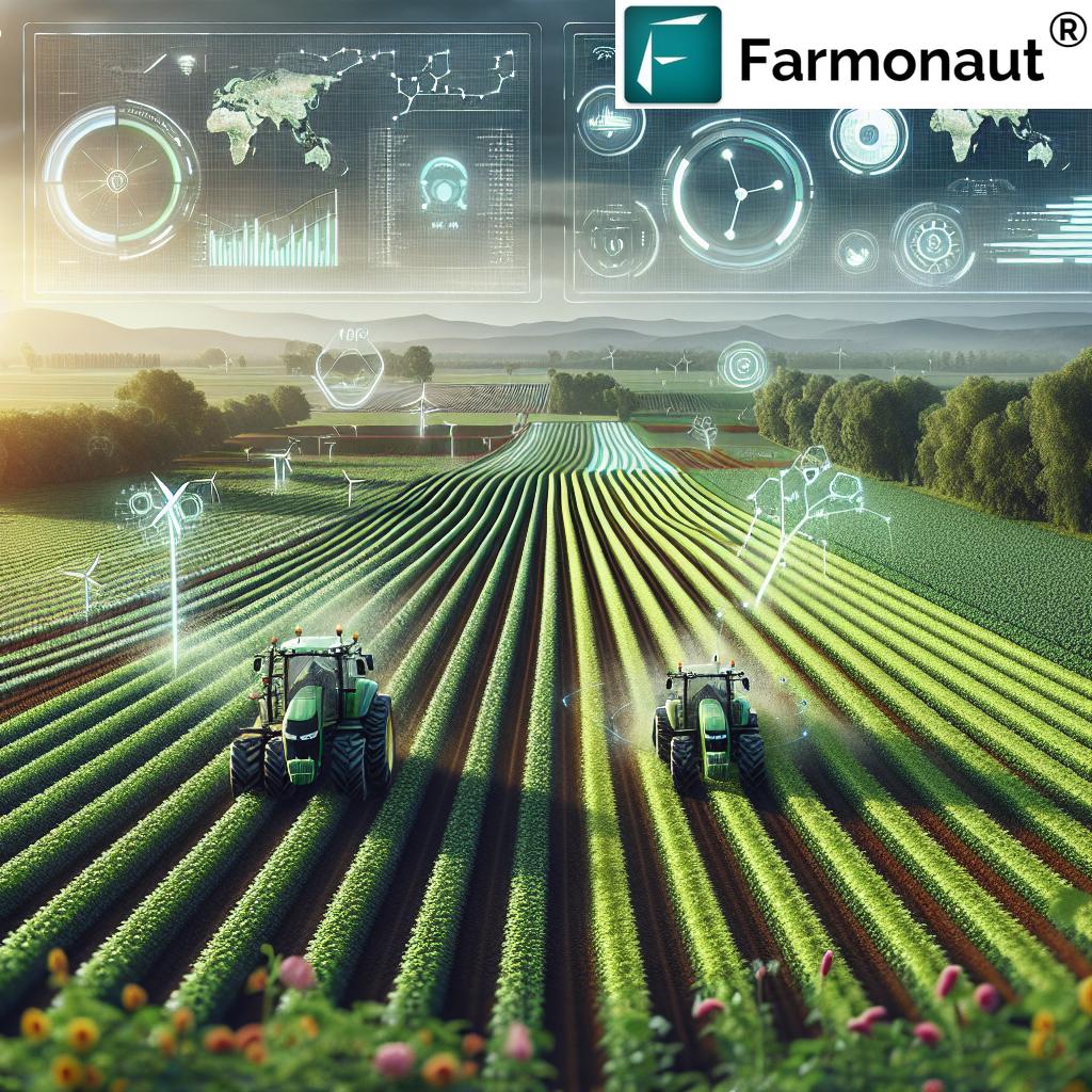
Yield mapping is a pivotal tool in the evolving landscape of precision agriculture. By systematically collecting and analyzing georeferenced yield data, farmers, agribusinesses, and agricultural experts are now able to optimize both resource utilization and productivity across fields. With the integration of GPS technology, sensors, satellite imagery, and data analytics, today’s yield mapping enables highly detailed, zone-specific insights into field variability and crop performance, supporting smarter, data-driven farming decisions.
As precision agriculture technology evolves, so does the accuracy, timeliness, and accessibility of yield mapping. This continuous evolution delivers benefits such as improved crop yield analysis, tailored input application, more reliable financial planning, and even compliance with sustainability goals.


Understanding Yield Mapping in Precision Agriculture
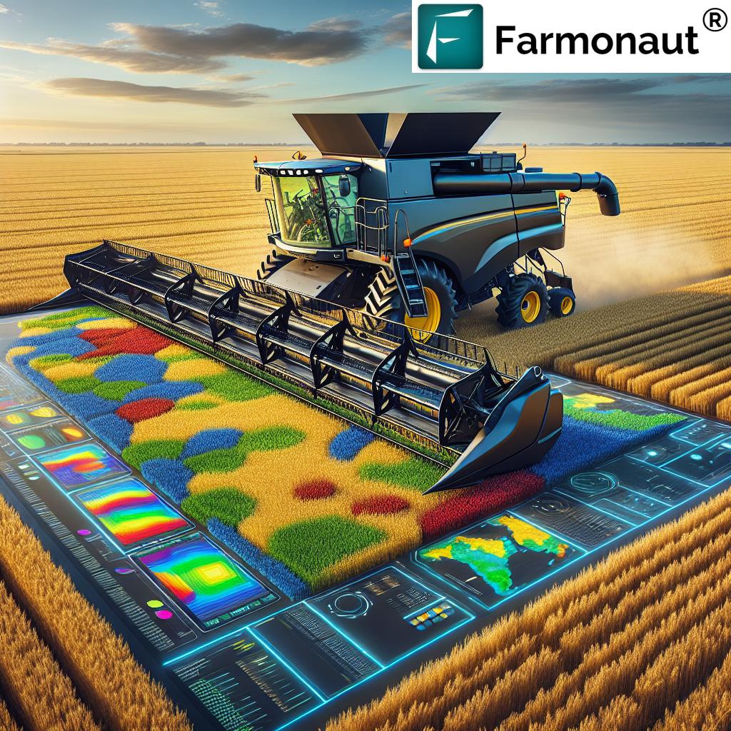
At its core, yield mapping is the process of collecting and mapping spatially explicit data about crop yields and associated characteristics (such as grain moisture content) during the harvesting process. Specialized equipment installed on harvesting machinery—typically combines—are equipped with sensors that measure grain flow, moisture levels, and other pertinent variables. GPS receivers georeference every measurement, enabling the creation of highly detailed yield maps that reveal the spatial variability in field performance.
But yield mapping is more than a technical exercise—it’s a foundation for data-driven farm management. By visualizing and quantifying the differences in yield across field areas, it empowers farmers to make informed, targeted decisions that enhance resource utilization, crop health, and profitability.
Components of Yield Mapping Systems
A robust yield mapping system typically consists of several essential components that work together to collect, analyze, and display data. Here’s a breakdown of the primary elements:
- Grain Flow Sensor: Captures the volume of grain harvested, producing real-time yield rate data for each pass of the harvesting equipment.
- Moisture Sensor: Measures grain moisture to calculate true “dry weight” yield, ensuring accuracy when comparing or aggregating data across fields or seasons.
- GPS Receiver: Provides precise location coordinates for every data point, linking yield information to specific field areas.
- Display Unit: Presents collected yield data—often in real-time—to the operator, also facilitating data storage and post-harvest analysis.
These technologies enable farmers to not only monitor and analyze yields as they harvest, but also to later reflect on field variability for long-term improvement of crop management strategies.
For broader, continuous field monitoring—even before or after harvest—solutions like Farmonaut’s satellite-based platform deliver additional insights via remote sensing in agriculture, including plant health, soil moisture, and yield prediction. Visit our crop plantation & forest advisory solutions to learn more about satellite-powered farm management on your computer or mobile device.
Practical Applications of Yield Mapping in Modern Agriculture
- Identifying Field Variability: By producing highly detailed yield maps, farmers can precisely locate underperforming or overperforming zones, recognizing both problems and potential within a field. This enables targeted interventions—from increased soil testing in low-yield areas to special nutrient application where needed (reference).
- Optimizing Resource Allocation: Variable rate application—the cornerstone of precision farming—relies on yield data to match fertilizer, irrigation, and pesticide rates to actual crop needs by zone. This increases efficiency, reduces waste, and protects the environment (reference).
- Improving Crop Management: Yield maps inform crop rotation planning, hybrid/variety selection, and soil improvement practices. Analyzing past trends helps farmers make better choices season after season, leading to improved crop health and resilience (reference).
- Supporting Financial Planning and Documentation: Detailed yield records provide essential data for farm loan assessments, insurance verification, lease negotiations, and reporting on field productivity trends (reference).
Yield mapping transforms how farmers approach risk management, sustainability, and long-term profitability. As more agricultural operations integrate precision agriculture technology, these benefits become accessible on any scale, everywhere accurate data is available.
“Over 70% of precision agriculture users report improved yield consistency using advanced yield mapping technologies.”
Advancements in Yield Mapping Technology
Yield mapping is constantly evolving, with technological advancements amplifying both the accuracy and impact of the data. Let’s explore some of the most influential recent trends:
1. Integration with Remote Sensing
Combining yield maps with remote sensing in agriculture—particularly satellite imagery for crop monitoring and drone imaging—helps monitor field conditions like plant health, soil moisture, and nutrient status continuously. Advanced field data management platforms like Farmonaut’s crop health monitoring bring remote sensing and data fusion together for unprecedented analysis and insights across growing seasons.
2. Data Fusion & Machine Learning
Modern yield mapping increasingly leverages data fusion techniques such as the Multi-view Gated Fusion (MVGF) model, integrating not just yield sensor and GPS data, but also satellite imagery, weather analytics, and other field measurements to improve prediction and decision making. Machine learning algorithms then uncover hidden patterns, assess complex factors affecting crop variability, and deliver actionable yield predictions (reference).
3. AI-Driven Advisory Systems
Artificial intelligence not only processes large datasets for yield mapping, but also provides personalized, real-time recommendations. Farmonaut’s Jeevn AI Advisory System is a prime example, delivering farm-specific advice on crop management, pest/disease alerts, and weather-adaptive strategies—all built upon satellite and sensor data fusion. This helps farmers optimize inputs while reducing risk and uncertainty (see how Farmonaut’s Jeevn AI can enhance your decisions).
7 Ways Yield Mapping Drives Precision Agriculture
By harnessing yield mapping with cutting-edge precision agriculture technology and robust analytics, farms can realize significant yield increases and sustainability improvements. Let’s explore seven transformative methods:
-
Zone-Specific Variable Rate Application (VRA):
- Leverage spatial yield data and field variability to precisely customize fertilizer, seed, and input rates on different sections of the field.
- Reduces waste; improves crop growth and resource efficiency; supports environmental stewardship.
-
High-Accuracy Remote Sensing Integration:
- Combine harvest-time yield mapping with satellite imagery for crop monitoring during the growing season for holistic crop health analysis.
- Enables proactive intervention against looming threats and supports ongoing yield optimization.
-
Time-Series Yield Trend Analysis:
- Aggregate and analyze yield mapping data across multiple years to observe shifting trends, anomalies, and recurring problem areas.
- Identifies persistent management issues and guides long-term soil or infrastructure investments.
-
Automated Management Zone Definition:
- Use AI algorithms on multi-year yield data and weather analytics to draw optimal “management zones” for precision practice deployment.
- Allows for advanced site-specific crop yield analysis and tailored crop management.
-
In-Season Yield Estimation & Adaptive Planning:
- Integrate in-season remote sensing and growth models to predict yields before harvest.
- Supports dynamic financial planning and mid-season input adjustments for maximum outcome.
-
Data-Driven Fertility & Irrigation Strategies:
- Correlate yield mapping with soil condition, moisture, and nutrient mapping for robust input scheduling and reduction of limiting factors.
- Preserves soil health, decreases input spend, enhances crop productivity.
-
Traceability and Compliance Monitoring Using Blockchain:
- Combine georeferenced yield maps and blockchain-based traceability systems to verify input usage, yield history, and sustainability compliance for regulatory or premium market requirements (learn how traceability adds value).
Each of these advanced yield mapping practices not only enhances operational precision, but also builds new opportunities for data-driven farming decisions, sustainability, and profitability on every acre.
Comparative Feature Table: Advanced Yield Mapping Methods
| Yield Mapping Method | Key Technology Used | Estimated Yield Improvement (%) | Implementation Complexity | Data Requirements | Example Use Case |
|---|---|---|---|---|---|
| Zone-Specific VRA | Yield Sensors, GPS, VRA Equipment | 8–15% | Medium | Yield Data, Field Maps, Input Prescriptions | Varying fertilizer rates within a field |
| Remote Sensing Integration | Satellite Imagery, Drones, Sensors | 5–12% | Low–Medium | Satellite, NDVI, Crop Monitoring Data | Detecting crop stress preemptively |
| Time-Series Yield Analysis | Data Analytics Platforms | 10–18% | Medium | Multi-year Yield Records | Identifying persistent problem patterns |
| Automated Zone Definition (AI) | Machine Learning, GIS Software | 12–19% | High | Yield + Terrain + Weather Data | Optimized management zone delineation |
| In-Season Yield Estimation | Remote Sensing, Growth Models, Weather Analytics | 5–10% | Low–Medium | Satellite, Weather, Growth Stage Data | Mid-season input adjustments |
| Fertilizer & Irrigation Scheduling | Soil Sensors, Yield Mapping, Analytics | 10–20% | Medium | Soil & Yield Data, Weather | Irrigation scheduling to prevent drought stress |
| Blockchain Traceability | Blockchain, GPS, Yield Monitoring | 3–8% | High | Georeferenced Yield Maps, Supply Chain Data | Proof of origin/compliance for buyers |
Farmonaut Platform: Yield Mapping Innovation for Every Farm
As the adoption of yield mapping grows, so does the demand for platforms that combine accessibility, affordability, and technical excellence. That’s where we at Farmonaut differentiate ourselves. By providing satellite-based farm management solutions via Android, iOS, Web, and API, we empower both individual farmers and large-scale agribusinesses to:
- Monitor crop health: Track NDVI, soil moisture, and stress zones in real time to optimize field management.
- Predict and analyze yields: Leverage AI and machine learning algorithms for yield forecasting, anomaly detection, and targeted recommendations.
- Reduce inputs and environmental impact: Our resource management tools help ensure that every drop and every gram count, advancing sustainability and profitability.
- Achieve transparency with blockchain-based traceability solutions—a valuable feature for agribusinesses seeking to build trust in high-value supply chains. Learn more about our traceability solution.
- Access affordable, scalable services: With flexible subscription packages and API options, Farmonaut’s platform is accessible to smallholder farms and multi-location enterprises alike.
Discover more about how you can manage hundreds or thousands of hectares efficiently and cost-effectively with our Large Scale Farm Management application.
We invite you to explore our technology on web & mobile apps and integrate it into your existing systems through our API (developer docs available).
For agribusinesses focusing on logistics and emissions, Farmonaut’s Fleet Management and Carbon Footprinting modules are designed to further streamline field operations and help adapt to evolving regulations.
Start Your Farmonaut Subscription
Challenges and Considerations in Yield Mapping Implementation
- Data Accuracy and Sensor Calibration: Yield mapping’s benefits depend on accurate data. Poor calibration of sensors or outdated equipment can introduce significant errors. We recommend scheduled calibration and maintenance checks to ensure your mapping systems deliver reliable information (reference).
- Effective Data Management and Interpretation: High-quality yield maps generate large data volumes. Without careful management strategies and skilled analysis, important trends may be missed or misunderstood (reference).
- Cost and Scalability: Although technology costs are falling, the initial investment in yield mapping systems—especially hardware—can be significant. However, integrated data-driven solutions (like Farmonaut’s) make remote yield mapping and precision agriculture accessible at lower cost than traditional, equipment-only approaches.
The right strategy is to combine calibrated yield sensors with robust, easy-to-use digital platforms, ensuring maximum ROI from your precision agriculture technology investment. For farm-financing and insurance applications, explore our Crop Loan & Insurance verification solutions.
FAQ on Yield Mapping in Precision Agriculture
1. What is yield mapping and how does it work?
Yield mapping involves collecting georeferenced data on crop yields and associated characteristics during harvest. This is achieved via sensors that measure yield flow and moisture, GPS to georeference each data point, and software to visualize the variability across a field. The resulting maps provide the basis for informed and targeted management decisions.
2. How can farmers use yield maps to increase productivity?
Yield maps uncover field variability, helping farmers to focus resources—like fertilizer and water—where they are most needed. By using this data, farmers can implement variable rate applications, identify and remediate persistent low-yield zones, and track the impact of different management strategies over time.
3. What types of data feed into yield mapping systems?
Core inputs include grain flow and moisture sensor data, GPS coordinates, and increasingly, satellite/drone imagery, weather data, and remote sensing measurements of plant health and soil moisture. Advanced systems, such as Farmonaut’s, also incorporate AI for advisory and prediction.
4. Are yield mapping solutions cost-effective for small farms?
Yes. While sensor-based equipment can be expensive, digital platforms driven by satellite imagery—like Farmonaut—let farms of all sizes access yield mapping and related data-driven solutions at an affordable subscription cost, requiring no expensive hardware upgrades.
5. How do remote sensing and machine learning improve yield prediction accuracy?
Remote sensing in agriculture provides continuous, field-wide data on crop growth, health, soil moisture, and stress. Machine learning algorithms process and combine these data streams with yield history to identify patterns, model environmental effects, and deliver highly accurate yield forecasts, even before harvest.
6. Is data security important in yield mapping?
Absolutely. Sensitive farm data should be managed securely. Farmonaut’s integrated blockchain technology adds traceability and security, ensuring data integrity throughout farm-to-market supply chains.
Conclusion: Yield Mapping Paving the Way for Smarter Agriculture
Yield mapping has firmly established itself as a cornerstone of precision agriculture. As field data collection, remote sensing, and machine learning become more accessible and affordable, the advantages of precise yield monitoring—higher productivity, optimized inputs, improved sustainability, and better financial outcomes—are now within reach for farms of every scale.
Our mission at Farmonaut is to make precision agriculture technology universally accessible, combining cutting-edge satellite analytics, AI-driven insights, and transparent traceability in a user-friendly package. By embracing the latest in yield mapping and precision practices, you can drive not only higher yields, but also a new era of resilient, sustainable, and profitable farming.

Ready to optimize your field’s potential? Download the Farmonaut Android app, iOS app, or log in via web to get started.
For large farms and technology providers, our API and developer documentation make scaling up next-generation yield mapping fast and seamless!