Remote Asset Risk Management: The Power of Continuous InSAR Monitoring in Agriculture
“InSAR monitoring can detect ground movement as small as 1 millimeter, revolutionizing agricultural asset risk management.”
Introduction: Remote Asset Risk Management in 2025 and Beyond
As the agricultural sector increasingly embraces advanced technology to optimize productivity and sustainability, the management of physical assets—such as irrigation systems, storage facilities, greenhouses, and expansive farmlands—has become more critical than ever.
In recent years, an explosion in satellite-based remote sensing technologies has offered new unprecedented insights into land, infrastructure, and environmental changes. The game-changer for asset risk management is Interferometric Synthetic Aperture Radar (InSAR), whose practical and commercial applications in agriculture have reached a tipping point by 2025.
With continuous InSAR monitoring now widely available, a revolution is underway for remote asset risk management, particularly across vast and varied agricultural terrains. For stakeholders, from smallholder farmers to large agribusinesses and governments, the ability to detect soil subsidence, canal breaches, and subtle land deformation in real time is delivering safer, more sustainable, and more efficient agricultural operations.
In this comprehensive guide, we will explore:
- The science behind InSAR monitoring
- Why agricultural assets are increasingly vulnerable in 2025 and beyond
- How continuous InSAR monitoring builds resilience and empowers proactive risk management
- What makes InSAR transformative compared to traditional monitoring approaches
- Practical insights, tangible benefits, and next steps for application, including how we at Farmonaut are making these capabilities accessible to the global agricultural community
Understanding InSAR: The Foundation for Asset Risk Management
What is Interferometric Synthetic Aperture Radar (InSAR)?
InSAR stands for Interferometric Synthetic Aperture Radar. It is a satellite-based remote sensing technique that measures ground surface displacement by comparing sets of radar images taken over the same area at different times.
- Radar Imagery: Uses synthetic aperture radar (SAR) sensors on satellites to send microwave pulses to the Earth’s surface and receive reflected signals.
- Comparison Over Time: By analyzing the difference in phase between two or more radar images, InSAR detects even millimeter-scale movements in the ground, surface, or built infrastructure.
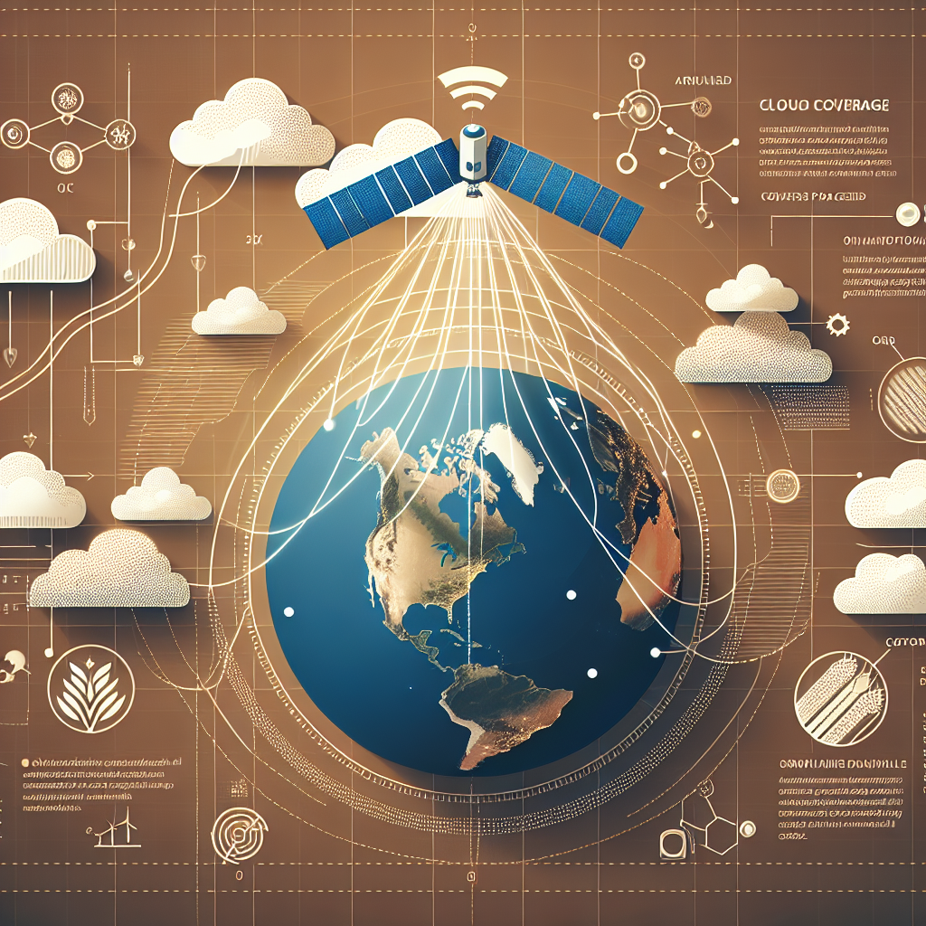
- Penetrates All Conditions: Unlike optical imagery, InSAR satellites can penetrate clouds and operate day or night, unaffected by weather conditions.
This makes InSAR ideal for continuous monitoring of agricultural lands regardless of diverse climates, seasons, or operational challenges.
The Relevance of InSAR to Modern Agriculture
InSAR’s unique abilities open new doors for agricultural risk management:
- Subtle Detection: Detects ground deformations invisible to the naked eye or undetectable by periodic ground surveys
- Early Warning Capabilities: Highlights regions at risk of soil subsidence, irrigation canal leaks, landslides, or infrastructure instability before they become emergencies
- Expansive Coverage: Capable of monitoring vast rural and remote terrains where regular field inspections are impractical
- Quantitative Data: Provides actionable data that translates to practical strategies for farmers and asset managers
With large-scale intensive irrigation systems, expanding greenhouses, massive storage facilities, and intricate canal networks becoming the backbone of 21st-century farming, the ability to safeguard these assets with real-time, high-accuracy monitoring is more critical than ever.
Vulnerabilities in Agricultural Assets: Why Continuous Monitoring Is Critical
Remote asset risk management centers on detecting and responding to threats facing agriculture’s most essential assets—often before they escalate. Let’s explore key vulnerabilities that make continuous monitoring vital for the sector.
1. Soil Subsidence: The Slow Disaster
- Soil subsidence—the sinking or settling of ground surfaces due to the intensive extraction of groundwater—is one of the most prevalent hidden threats in irrigation-intensive regions.
- Farms near river valleys, reclaimed wetlands, or areas with heavy groundwater pumping face gradual but sometimes devastating compaction of soil.
- The result? Damaged irrigation systems, altered drainage patterns, foundation cracks in storage or greenhouse facilities, and tilting or shifting of critical infrastructure.
2. Erosion, Landslides, and Slope Instability
- Terraced farming and hillside cultivation have expanded into slopes and prone regions—including river valleys and hillsides.
- These areas become vulnerable due to natural processes (e.g., heavy rains, deforestation), causing erosion, landslides, and infrastructure collapse.
- These hidden risks often only become visible after extensive deformation has occurred.
3. Canal, Levee, and Water Infrastructure Damage
- Earthen canals, levees, and water storage structures are subject to progressive breaches and deformation due to shifting ground, earth movement, or subtle water leakage.
- Undetected breaches can lead to catastrophic flooding or water loss, impacting entire farming operations.
4. Storage Facility and Greenhouse Stability
- Modern food systems rely on large silos, greenhouses, and storage facilities.
- Even tiny shifts or settling of their foundations can quickly escalate into safety hazards or costly downtime.
5. The Limitations of Traditional Monitoring
- Conventional asset inspection methods typically involve periodic field surveys, ground-based sensors, and manual visual checks.
- These are labor-intensive, often slow, expensive, and may fail to detect early-stage risks, exposing operations to preventable losses.
“Over 80% of remote asset failures in agriculture are preventable with continuous InSAR-based risk monitoring and early intervention.”
The Power of Continuous InSAR Monitoring in Agricultural Asset Management
A Paradigm Shift: From Reactive to Proactive Risk Management
Remote Asset Risk Management: The Power of Continuous InSAR Monitoring lies in its ability to detect ground movement and infrastructure deformation early and with extraordinary precision—often at the millimeter scale.
Here’s how continuous InSAR monitoring is revolutionizing risk management across key agricultural asset types:
1. Early Warning and Risk Mitigation
- Continuous data streams allow agricultural managers to detect subtle, progressive land deformation months (or even years) before visible signs emerge.
- Early warning enables stakeholders to adjust irrigation schedules, reinforce earthen levees, or relocate storage before disaster strikes.
- This proactive mitigation not only prevents catastrophic asset loss but also reduces insurance costs and operational downtime.
2. Optimized Water Resource Management
- InSAR quantifies soil subsidence caused by intensive groundwater extraction, revealing where aquifers are being depleted unsustainably.
- Farmers and water managers can recalibrate irrigation schedules or promote aquifer recharge strategies.
- This approach helps maintain healthy soil, support crop yield, and safeguard long-term productivity.
3. Predictive Maintenance of Agricultural Assets
- Continuous asset monitoring builds a high-frequency historical record of infrastructure stability.
- Owners of silos, greenhouses, barns, and canals can time preventative maintenance or repairs more accurately.
- Safety for workers and product integrity are improved through data-driven decision making.
4. Enhanced Insurance and Investment Confidence
- Insurance providers leverage InSAR to verify risks and losses more objectively, allowing for custom, location-specific policies.
- Investors gain greater confidence deploying capital into infrastructure or agricultural projects that are demonstrably resilient.
- The existence of high-resolution risk data attracts funding to sustainable operations, fueling sector growth.
5. Climate Change Adaptation
- As extreme weather events increase, so do erosion, flooding, and landslide risks.
- InSAR makes it possible to track land movement and infrastructure health, supporting farmers and land managers as they adapt to changing environmental conditions.
- Sustainable agriculture is strengthened by this real-time situational awareness.
Discover how our Large Scale Farm Management Solution integrates asset monitoring and proactive interventions, helping agricultural enterprises optimize operations using continuous satellite data.
Comparative Table: Benefits of InSAR Monitoring vs. Traditional Methods in Remote Asset Risk Management
| Key Parameters | Traditional Monitoring Methods (Estimated) | InSAR Monitoring (Estimated) |
|---|---|---|
| Detection Speed | 4–12 weeks | 1–3 days |
| Coverage Area | 50 sq.km/day | >10,000 sq.km/day |
| Cost | ~$50,000–$70,000/year for large farms | ~$8,000–$15,000/year for similar area |
| Frequency of Monitoring | 2–4 times/year | 12–30 times/year |
| Early Issue Detection Rate | 20–30% | 80–95% |
| Proactive Intervention Capability | Low | High |
| Data Accessibility | Limited/local | Easy, remote dashboard & API |
In summary, Remote Asset Risk Management: The Power of Continuous InSAR Monitoring enables a dramatic leap in speed, coverage, cost-effectiveness, early detection, and actionable insight—fundamentally transforming how risk is managed across agricultural assets.
Explore how our Crop Loan and Insurance Verification tools utilize continuous InSAR and satellite data for transparent, real-time risk assessment—streamlining financing and insurance access for farmers and agri-businesses.
AI, Cloud, and InSAR: The Future of Remote Asset Risk Management in Agriculture
To fully unlock the potential of InSAR monitoring, agricultural sector leaders are integrating cloud computing, AI-driven analytics, and digital dashboards.
- Cloud Data Processing: High-resolution radar images and continuous InSAR measurements are processed at scale in the cloud, delivering real-time insights regardless of geographic distance.
- AI and Predictive Algorithms: Machine learning models rapidly interpret ground movement patterns, automatically flagging abnormal soil subsidence, deformation, or instability.
- Accessible Dashboards & API Integration: Custom dashboards and APIs provide farmers, businesses, and governments with easy, 24/7 access to asset risk profiles and early warnings.
- Proactive Alerts: Automated notifications prompt operators to intervene—whether reinforcing a canal, adjusting irrigation, or scheduling infrastructure maintenance.
Get started with the  or API for seamless data-driven farm management.
To power real-time field operations, download our apps:


Farmonaut: Delivering InSAR-Based Risk Management Solutions in Agriculture
We at Farmonaut are at the forefront of satellite-driven innovation for the agricultural sector, integrating sensing, AI advisory, and blockchain traceability into a seamless, affordable platform.
Empowering Every Stakeholder
Our solutions are designed for:
- Individual Farmers—from small plots to expansive fields—seeking real-time monitoring of soil, water, and infrastructure risks
- Businesses managing large agricultural operations, storage, and logistics networks
- Government agencies and large landowners tasked with regional irrigation and infrastructure management
- Insurers and financial institutions pursuing accurate, data-driven loan and insurance verification
- Developers integrating advanced insights via our robust API
Our Technology Stack
- Satellite-Based Monitoring: Using multispectral and radar imagery for soil, crop, and asset monitoring.
- JEEVN AI Advisory: Delivering real-time, context-aware insights for maintenance, risk mitigation, and operational decisions.
- Blockchain-Based Traceability: Ensuring transparent, secure supply chains—learn more about product traceability.
- Fleet and Resource Management: Empowering agri-fleet operators to optimize routes, safety, and utilization. Explore our Fleet Management services for increased efficiency.
- Carbon Footprinting: For businesses and producers tracking emissions and sustainability performance. See our carbon footprinting services.
- Environmental Compliance and Sustainability: We provide real-time environmental impact tracking (such as water and carbon) for agricultural and allied operations.
Our platform is subscription-based, with flexible packages for users, businesses, and governments. All services are available via and API—making remote asset and farm management accessible from anywhere on any device.
Unlocking Proactive Risk Management from Field to Supply Chain
Key features for agricultural leaders:
- Real-time ground movement reminders, alerts, and predictive analytics
- AI-powered advisories to optimize irrigation, soil health, and infrastructure maintenance
- Resource tracking and carbon impact reporting for regulatory compliance and sustainable branding
- Seamless multi-user dashboards for large-scale, collaborative operations and reporting
Frequently Asked Questions (FAQ)
What is InSAR and how does it work in asset risk management?
InSAR (Interferometric Synthetic Aperture Radar) is a remote sensing technique using radar satellites to detect ground movement by comparing radar images across different times. For asset risk management, it identifies subsidence, deformation, or instability in land and infrastructure with millimetric accuracy—critical for proactive management and disaster prevention in agriculture.
Why is continuous asset monitoring important in agriculture?
Continuous asset monitoring ensures early detection of hidden risks—like soil subsidence, canal breaches, or foundation shifts in silos or greenhouses. Early intervention prevents costly failures, supports business continuity, improves safety, and maximizes productivity.
Can small and medium farms benefit from InSAR-powered solutions?
Yes. Modern platforms like ours at Farmonaut deliver affordable, accessible monitoring tools for farms of all scales—from handheld app access to automated dashboards and API integration, empowering even smallholder farmers to manage risks proactively.
How does InSAR compare with traditional inspection methods?
InSAR offers near-real-time, wide-area coverage at lower cost and greater frequency than traditional ground surveys, which are slower, more expensive, and often unable to detect subtle or early-stage risks.
What types of agricultural assets can be monitored with InSAR?
Typical assets include farmland, irrigation canals, greenhouses, silos, levees, storage facilities, processing centers, and infrastructure across diverse terrains like wetlands, valleys, and hillsides.
How can one access InSAR monitoring through Farmonaut?
Users can access InSAR-based monitoring for assets and agriculture via our web dashboard, mobile apps, or direct API integration—all designed for flexibility and ease of use in operational decision-making.
Conclusion: Remote Asset Risk Management—A Smarter, Safer, and More Sustainable Future
The rise of continuous InSAR monitoring is fundamentally transforming how remote asset risk management shapes the agricultural sector. From early detection of subsidence and erosion to proactive responses to shifting weather and climate conditions, the power of satellite-driven insights is now accessible to farmers, businesses, and governments worldwide.
By leveraging InSAR technology and integrated platforms like those provided by us at Farmonaut, the agriculture sector is equipped to:
- Protect critical assets (irrigation systems, silos, storage, greenhouses, land)
- Increase operational efficiency
- Prevent catastrophic losses by identifying risks early
- Enable climate adaptation and more sustainable practices
- Drive investment and support for resilient infrastructure
As we move further into 2025 and beyond, continuous InSAR monitoring will be a cornerstone of sustainable, data-driven, and climate-resilient agriculture worldwide.
Ready to experience the future of agricultural asset risk management? Start today with Farmonaut’s web, mobile, or API platform.
For additional modules on fleet operations, supply chain traceability, and environmental sustainability insights, explore:
Remote Asset Risk Management: The Power of Continuous InSAR Monitoring is not just a technological upgrade—it’s an agricultural imperative for resilience, safety, and scale in 2025 and beyond.