Unveiling the Secrets: Water Vapor, Infrared, and Cloudy Satellite Images Compared
In the ever-evolving world of agricultural technology, satellite imagery has become an indispensable tool for farmers, researchers, and policymakers alike. At Farmonaut, we’re at the forefront of harnessing this powerful technology to revolutionize farming practices. Today, we’re diving deep into the fascinating world of satellite imagery, exploring the nuances of water vapor, infrared, and cloudy satellite images, and how they’re transforming the agricultural landscape.
Understanding Satellite Imagery in Agriculture
Before we delve into the specifics of different types of satellite images, let’s first understand why satellite imagery is so crucial in modern agriculture:
- Wide-area coverage: Satellites can capture images of vast areas, making them ideal for monitoring large-scale agricultural operations.
- Frequent updates: Many satellites orbit the Earth multiple times a day, providing near real-time data.
- Non-invasive: Unlike ground-based methods, satellite imagery doesn’t disturb crops or soil.
- Cost-effective: Compared to traditional surveying methods, satellite imagery is often more economical, especially for large areas.
- Consistent data: Satellites provide standardized data, making it easier to compare different regions or time periods.
At Farmonaut, we leverage these advantages to provide farmers with actionable insights, helping them make informed decisions about crop management, resource allocation, and more. Our platform integrates various types of satellite imagery to give a comprehensive view of agricultural lands.
The Basis of Water Vapor Images from Satellites
One of the most intriguing types of satellite imagery is the water vapor image. But what exactly is the basis of water vapour image from satellite? Let’s break it down:
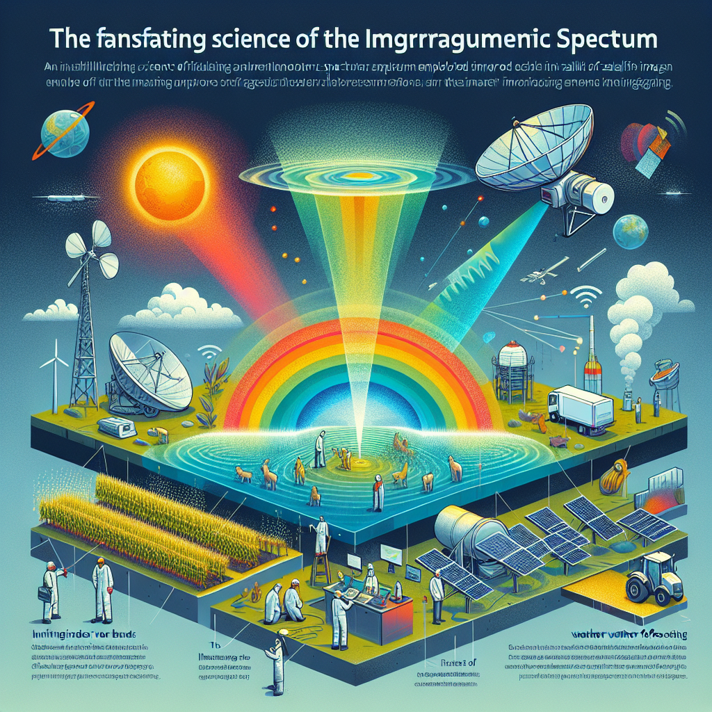
- Electromagnetic Spectrum: Water vapor images are based on the detection of infrared radiation in a specific part of the electromagnetic spectrum, typically around 6.7 to 7.3 micrometers.
- Absorption and Emission: Water vapor in the atmosphere absorbs and then re-emits radiation in this spectral range.
- Temperature Differences: The amount of radiation detected by the satellite depends on the temperature of the water vapor. Cooler vapor appears brighter in these images, while warmer vapor appears darker.
- Atmospheric Layers: Water vapor images primarily show moisture in the middle and upper levels of the troposphere, typically between 600 and 300 millibars.
The basis of water vapour images from satellite is due to the unique properties of water molecules in the atmosphere and their interaction with infrared radiation. This allows us to visualize atmospheric moisture content, which is crucial for understanding weather patterns and their potential impact on crops.
Infrared Satellite Imaging: A Game-Changer in Agriculture
Infrared satellite imaging has revolutionized the way we monitor and manage agricultural lands. At Farmonaut, we extensively use this technology to provide valuable insights to farmers. Here’s why infrared imaging is so powerful:
- Plant Health Assessment: Infrared images can reveal plant stress before it’s visible to the naked eye.
- Soil Moisture Detection: Different infrared bands can indicate soil moisture levels, crucial for irrigation management.
- Crop Yield Prediction: By analyzing infrared data over time, we can make more accurate yield predictions.
- Pest and Disease Detection: Some pests and diseases can be detected early through infrared imaging.
An infrared satellite image typically appears quite different from a normal photograph. In a standard false-color infrared image:
- Healthy vegetation appears bright red or pink
- Urban areas are typically blue-gray
- Soils can range from dark to light browns
- Water bodies appear dark blue or black
This color scheme allows for easy identification of different land cover types and quick assessment of vegetation health. At Farmonaut, we process these images and translate them into easy-to-understand metrics for our users.
Cloudy Satellite Images: Challenges and Opportunities
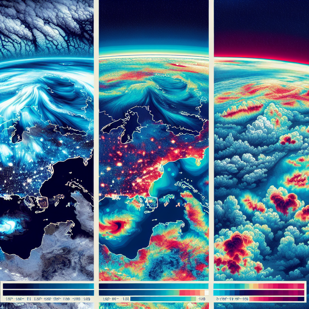
While clear skies are ideal for most satellite imaging applications, the reality is that clouds often obscure our view of the Earth’s surface. A cloudy satellite image presents both challenges and opportunities:
Challenges:
- Obstructed View: Clouds can partially or completely block the view of the land surface.
- Data Gaps: Regular cloud cover can lead to gaps in time-series data.
- Misinterpretation: Cloud shadows can sometimes be misinterpreted as water bodies or other dark features.
Opportunities:
- Weather Pattern Analysis: Cloud patterns can provide valuable information about local and regional weather systems.
- Precipitation Estimation: Some algorithms can estimate rainfall amounts based on cloud characteristics.
- Cloud Type Classification: Different types of clouds (e.g., cumulus, stratus) can be identified and studied.
At Farmonaut, we’ve developed advanced algorithms to work around cloudy conditions, ensuring that our users receive consistent, reliable data even when weather conditions are less than ideal.
Satellite Image Comparison: A Key to Insights
Satellite image comparison is a powerful technique that allows us to detect changes over time and across different spectral bands. Here’s how we utilize this at Farmonaut:
- Temporal Comparison: By comparing images of the same area taken at different times, we can track changes in crop growth, detect harvest times, and monitor long-term land use changes.
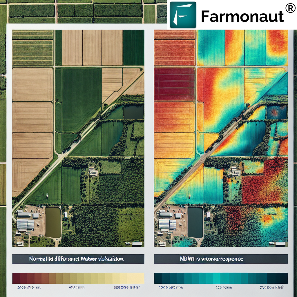
- Spectral Comparison: Comparing images taken in different parts of the electromagnetic spectrum (e.g., visible light vs. near-infrared) reveals information about plant health, soil moisture, and more.
- Spatial Comparison: Comparing adjacent areas within the same image helps identify anomalies or variations in crop performance across a field.
This comparative approach allows us to provide farmers with detailed insights into their fields’ performance, helping them make data-driven decisions to optimize yields and resource use.
How Farmonaut Leverages Advanced Satellite Imagery
At Farmonaut, we’re not just using satellite imagery; we’re pushing the boundaries of what’s possible with this technology. Here’s how we’re applying these advanced imaging techniques to benefit farmers:
- Crop Health Monitoring: By analyzing infrared and multispectral images, we provide real-time insights into crop health, allowing for early detection of stress factors.
- Precision Agriculture: Our satellite-based insights enable precise application of water, fertilizers, and pesticides, reducing waste and improving yields.
- Yield Prediction: Through time-series analysis of satellite images, we offer accurate yield predictions, helping farmers and agribusinesses plan better.
- Disaster Assessment: In the event of natural disasters, we can quickly assess damage to crops, aiding in insurance claims and recovery planning.
- Sustainable Practices: Our technology promotes sustainable farming by optimizing resource use and minimizing environmental impact.
To experience these benefits firsthand, try our Farmonaut app or explore our API services for developers.
Farmonaut vs. Traditional Monitoring Methods
While drones and IoT devices have their place in modern agriculture, Farmonaut’s satellite-based system offers unique advantages:
| Feature | Farmonaut Satellite System | Drone-based Monitoring | IoT-based Monitoring |
|---|---|---|---|
| Coverage Area | Global | Limited by flight range | Limited by sensor placement |
| Frequency of Data | Daily to weekly | As needed, weather dependent | Continuous, but localized |
| Initial Setup Cost | Low | High (equipment purchase) | Medium to High |
| Operational Complexity | Low (cloud-based) | High (requires skilled operator) | Medium (maintenance required) |
| Data Processing | Automated, AI-driven | Often manual or semi-automated | Automated, but limited scope |
| Scalability | Highly scalable | Limited by equipment and personnel | Scalable, but hardware-dependent |
The Future of Satellite Imaging in Agriculture
As we look to the future, the potential for satellite imaging in agriculture continues to expand. At Farmonaut, we’re excited about several emerging trends:
- Higher Resolution Imagery: As satellite technology improves, we’ll be able to provide even more detailed insights at the individual plant level.
- AI and Machine Learning: Advanced algorithms will allow for more accurate predictions and automated decision-making support.
- Integration with IoT: Combining satellite data with ground-based sensors will provide a more comprehensive view of farm conditions.
- Hyperspectral Imaging: This technology will allow for even more detailed analysis of crop health and soil conditions.
- Real-time Analytics: Faster data processing and delivery will enable near-instantaneous insights and decision support.
Stay ahead of these trends by subscribing to Farmonaut’s services:
Conclusion
From water vapor images that reveal atmospheric moisture to infrared imagery that exposes hidden crop stress, satellite technology is transforming agriculture. At Farmonaut, we’re committed to harnessing these powerful tools to help farmers around the world improve their yields, reduce costs, and farm more sustainably.
Whether you’re a small-scale farmer looking to optimize your operations or a large agribusiness seeking comprehensive field analytics, Farmonaut has a solution for you. Download our app for Android or iOS today, or explore our API documentation to integrate our powerful satellite insights into your own systems.
FAQs
-
Q: How often are satellite images updated in Farmonaut’s system?
A: Our system typically provides updates every 3-5 days, depending on satellite coverage and weather conditions. -
Q: Can Farmonaut’s satellite imagery detect specific crop diseases?
A: While we can’t identify specific diseases, our system can detect anomalies in crop health that may indicate disease presence, prompting further investigation. -
Q: How does cloud cover affect the reliability of Farmonaut’s data?
A: We use advanced algorithms and multiple satellite sources to work around cloud cover, ensuring consistent data availability. However, persistent cloud cover may occasionally cause delays in updates. -
Q: Is Farmonaut’s satellite imaging suitable for small farms?
A: Absolutely! Our system is scalable and can provide valuable insights for farms of all sizes, from small holdings to large commercial operations. -
Q: How does Farmonaut ensure the privacy of farm data?
A: We take data privacy seriously. All farm data is encrypted and securely stored, and we never share individual farm data without explicit permission.
Experience the power of satellite-driven agriculture for yourself. Join the Farmonaut community today and take your farming to new heights!


