Regional InSAR Subscription Services Now Available for UK Cities: A New Era for Agriculture and Forestry Monitoring in 2025
Meta Description: Regional InSAR Subscription Services Now Available for UK Cities: Discover how these advanced radar services are revolutionizing agriculture and forestry monitoring across major UK cities in 2025 with precision data and risk mitigation insights.
“Over 10 major UK cities now access precision InSAR data, revolutionizing regional agriculture and forestry monitoring.”
Introduction: The Era of Regional InSAR Subscription Services in the UK
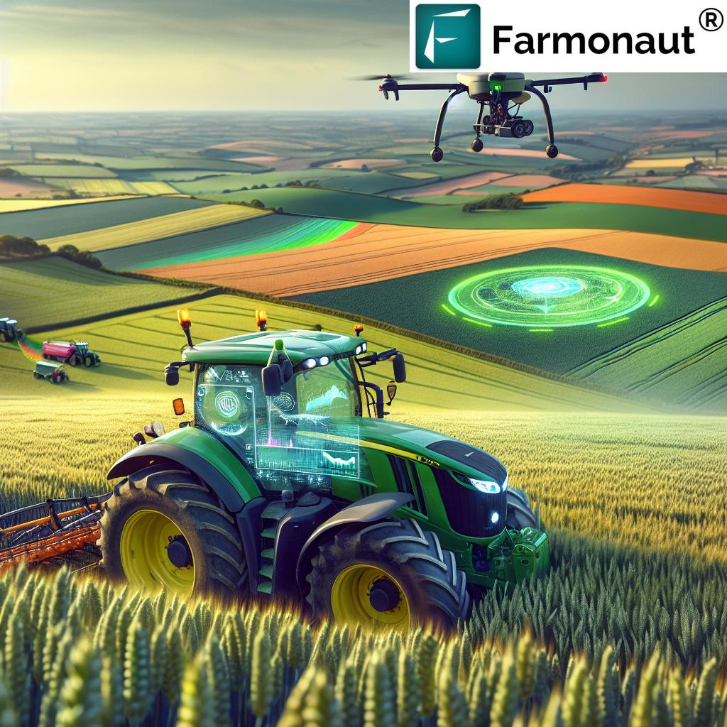
Regional InSAR Subscription Services Now Available for UK Cities marks a watershed moment in 2025 for environmental monitoring and risk mitigation across the British Isles. As agriculture and forestry sectors grapple with the impacts of climate change, soil degradation, and water management challenges, the introduction of tailored InSAR (Interferometric Synthetic Aperture Radar) subscription services offers a technological leap forward. Farmers, foresters, and land managers can now access sophisticated radar-based insights—traditionally reserved for specialized geotechnical and urban planning applications—via accessible, user-friendly platforms.
Powered by new satellite constellations and regional models, these services deliver precision data, actionable reports, and real-time alerts. They enable landholders to monitor ground movement, anticipate risks such as subsidence or flooding, and optimize their agronomic and silvicultural practices. Regional InSAR Subscription Services Now Available for UK Cities is not just a headline—it’s a statement of how advanced remote sensing and data-driven decisions will shape the UK’s landscapes, food security, carbon sequestration, and sustainability from 2025 and beyond.
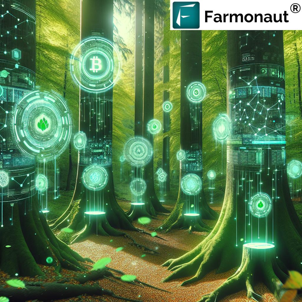
“InSAR technology delivers millimeter-level ground movement insights, enhancing risk assessment for UK urban and rural landscapes.”
Understanding InSAR: The Technology Powering Change
At the heart of these innovative subscription services is Interferometric Synthetic Aperture Radar (InSAR), a remote sensing technique that uses radar satellites to measure ground surface movement with millimeter-level precision across large geographic areas. The technique works by comparing radar images captured at different times, which allows for the detection of even the most subtle shifts in the earth’s surface.
- How It Works: Satellites send radar waves towards the surface and record the reflected signals. By comparing phase differences between multiple passes of the satellite over the same location, InSAR can detect ground movement caused by natural processes (like tectonic shifts, landslides, or subsidence) or human activities (including mining, groundwater extraction, or construction).
- Past Limitations: Historically, these capabilities required specialized access, suffered from complex processing requirements, and involved high costs—making them the domain of geosciences and limited urban planning or geotechnical applications.
- The Regional Model: The 2025 regional InSAR subscription model in the UK democratizes this technology, opening new opportunities for the agriculture and forestry sectors by offering accessible, area-wide data and actionable insights.
The Rise of Regional InSAR Subscription Services Across UK Cities
Regional InSAR Subscription Services Now Available for UK Cities brings bespoke monitoring to both metropolitan regions and their surrounding rural areas. For the first time, farmers, foresters, and land managers can receive processed data, tailored alerts, and detailed reports pertinent to their landholdings—enabling proactivity instead of reactivity.
- Coverage: Services now cover the entire administrative footprints of major UK cities such as London, Birmingham, Manchester, Glasgow, and Edinburgh, as well as adjacent agricultural and forestry regions.
- Processed Data: Instead of raw satellite images, end users access processed deformation maps, risk analyses, and time-series visualizations, translating complex radar signals into practical, actionable information.
- Accessibility: Subscriptions are available for businesses, individual professionals, and government departments via intuitive platforms, mobile apps, web portals, and APIs. Get instant access to precision insights anywhere, anytime. (Start here: Farmonaut Platform Access)
- Timeliness: Subscribers receive real-time alerts, historical trend reports, and urgent notifications when potentially problematic ground shifts or risks are detected within their regions of interest.
Comparison Table of InSAR Subscription Services Across Major UK Cities
| UK City | Estimated Area Monitored (hectares) | Agricultural Coverage (%) | Forestry Coverage (%) | Frequency of Data Updates (per month) | Estimated Risk Alerts Issued (per year) |
|---|---|---|---|---|---|
| London | 156,000 | 35 | 12 | 10 | 225 |
| Birmingham | 95,000 | 48 | 21 | 11 | 180 |
| Manchester | 63,000 | 40 | 16 | 12 | 160 |
| Glasgow | 68,000 | 37 | 26 | 8 | 135 |
| Edinburgh | 53,000 | 42 | 28 | 7 | 120 |
*These are rounded estimates for illustrative comparison. Actual monitored areas and frequencies may fluctuate based on satellite tasking and user subscriptions.
Transforming UK Agriculture: Precision, Productivity & Mitigation
How Regional InSAR Subscription Services Now Available for UK Cities Empower Modern Farming
UK agriculture is entering a new era in 2025, where regional InSAR subscription services are revolutionizing how farmers and managers monitor soil, land degradation, and overall field health. With changing weather patterns and increasing pressure on land use, the ability to detect subtle ground movements and prevent yield losses is a notable advancement.
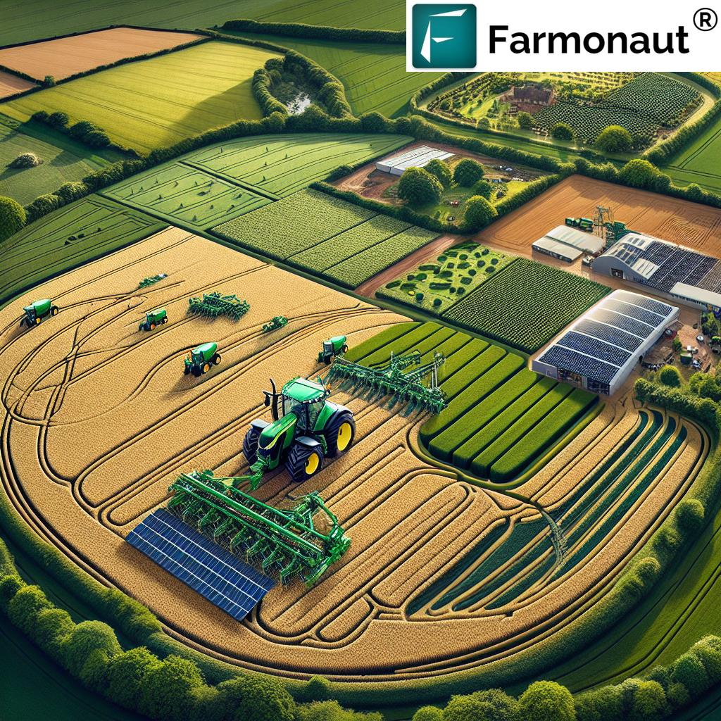
- Soil Compaction & Drainage: InSAR services can identify land subsidence due to heavy machinery, excessive irrigation, or water table fluctuations. By recognizing these shifts early, farmers can adjust irrigation practices, choose optimal moments for tillage, or reconfigure crop rotations—ensuring sustainable management of their assets.
- Precision Agriculture: With field-level deformation detection and topography mapping, users can tailor fertilizer and pesticide applications, reduce runoff, and optimize planting density—all based on real data rather than assumption.
- Risk Mitigation: Frequent updates enable timely responses to risks such as flooding, erosion, or groundwater overuse, aligning with climate adaptation goals.
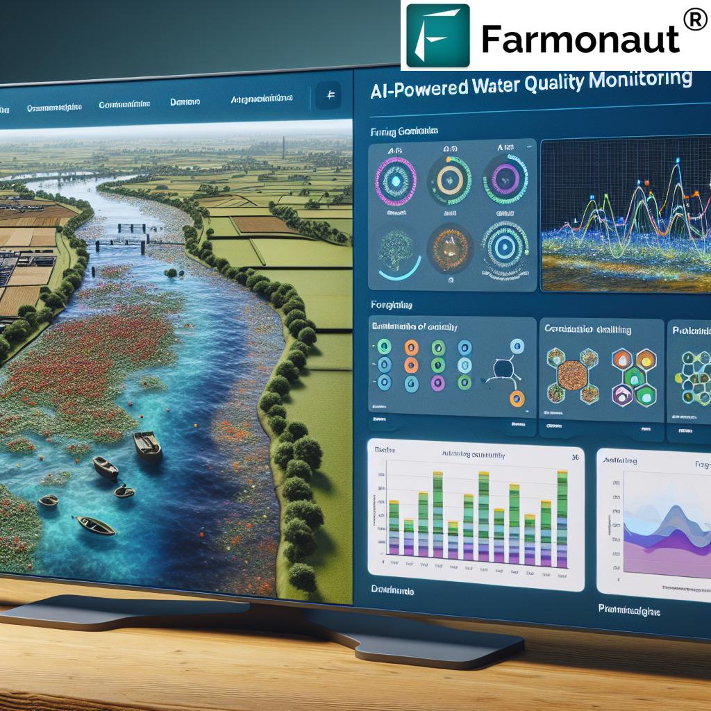
- Seasonal Variability: In regions like East Anglia, high-resolution soil moisture monitoring paired with InSAR can help mitigate seasonal flood or drought risks, improving both yield and sustainability.
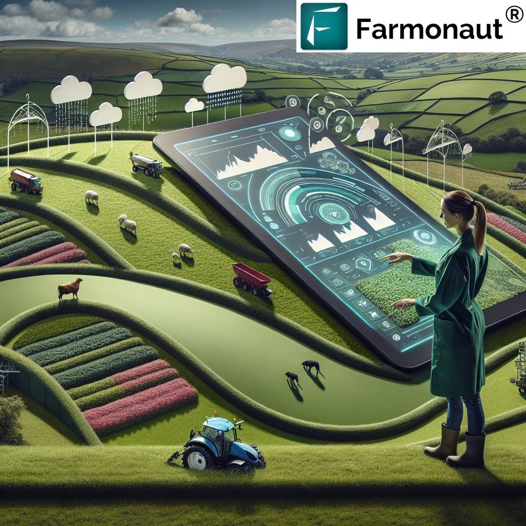
Farmonaut’s satellite-based advisory systems further elevate these services by offering remote sensing and AI-powered real-time monitoring, crop health analysis (NDVI), and resource management advice—all accessible via a web/browser app, Android, and iOS.


Enhancing UK Forestry: Monitoring Ground Instability and Management
Regional InSAR Subscription Services: Ground Instability Detection for Forest Management
Forestry in the UK—from Wales to the Scottish Highlands—faces major challenges in the form of ground instability, changing climate conditions, and the need to balance carbon sequestration with sustainable harvests. Regional InSAR Subscription Services deliver timely alerts on:
- Landslides and Slope Movement: InSAR enables detection of even subtle slope movements, letting managers intervene before catastrophic slips, tree lost, or road blockages occur.
- Peatland Subsidence: Northern forests with active peatlands (like those surrounding Edinburgh and Glasgow) are particularly susceptible to ground subsidence—leading not only to loss of forestry productivity but to increased emissions of greenhouse gases. InSAR data allows for mitigation and restoration planning, ensuring compliance with UK carbon reduction targets and biodiversity goals.
- Tree Root Instability: Waterlogging or drought can cause subtle root lifting or settling. Early warnings can trigger preventive measures, thinning, or reinforcement, protecting forest investments and wildlife habitats.
For forestry professionals seeking to maximize both productivity and sustainability, regional InSAR subscription services provide a competitive edge by unlocking unseen dynamics beneath the forest floor—especially when integrated into multi-layered management platforms.
Peatlands and Precision Monitoring
The UK’s peat-rich regions are critical not only for forestry but for broader environmental and climate strategies. Precision InSAR monitoring helps maintain peatland integrity:
- Offering long-term subsidence detection over vast, inaccessible tracts.
- Supplying time-series data for restoration projects and ecosystem service tracking.
- Supporting policy goals for sustainable management and emission reduction.
Integrating InSAR with GIS, IoT, and Drones: A Future-forward UK Outlook
2025 and the coming years will see greater integration of InSAR subscription services with other technology platforms:
- GIS: Overlaying deformation maps with soil, vegetation, and infrastructure layers for holistic land management.
- IoT Sensors: Combining radar data with on-ground moisture, pH, and weather sensors amplifies actionable insights, triggers automated irrigation or drainage adjustments, and boosts early warning accuracy.
- Drones: Provide high-resolution, localized checks where InSAR signals are degraded by dense canopies or urban clutter.
This synergy enables profound risk mitigation, resource optimization, and sustainability benefits for UK agriculture and forestry. Farmonaut’s APIs (see API access) enable seamless integration of InSAR insights into any operational stack, amplifying productivity at scale.
Developers can get started with Farmonaut API Developer Documentation to build custom dashboards, automate alerts, or feed data into your bespoke farm or forestry management portal.
Challenges & Technological Advances in UK Regional InSAR
Every innovation faces hurdles. Despite significant advancements, regional InSAR subscription services contend with:
- Resolution Constraints: Densely built or heavily forested areas may experience lower-data fidelity due to “decorrelation” as radar signals are scattered by vegetation or reflect differently from complex structures.
- Seasonal Effects: Heavy rain, snow cover, or lush seasonal canopies can distort radar returns, sometimes masking ground movement.
- Processing Complexity: Turning raw SAR echoes into actionable insights requires robust models and experience—solved by platforms offering processed, interpreted outputs.
However, these challenges are being addressed by next-generation satellites, such as the Sentinel constellation, delivering more frequent revisits, denser pixels, and tailored spectral bands for the UK context. With machine learning and AI-advisory systems, end users will receive more accurate, timely, and geo-localized risk notices.
Farmonaut: Driving Satellite-Powered Remote Sensing for UK Sectors
At Farmonaut, we are dedicated to making advanced satellite-based insights affordable, accessible, and actionable. Our multi-layered approach for agriculture, forestry, and allied sectors integrates satellite imagery, AI, machine learning, and blockchain to deliver a powerful platform for data-driven resource management.
- Satellite-based Monitoring: Monitor crop health, soil condition, and land deformation with near real-time updates across the UK’s most critical production regions. Access our large-scale farm management solution for enterprise-level operations.
- AI-Powered Advisory: Our Jeevn AI delivers location-specific agronomic and risk minimization counsel, tailored for user requirements.
- Blockchain Traceability: Enable full supply chain traceability (see traceability solution here for UK-grown produce and timber) to enhance both trust and regulatory compliance.
- Environmental Impact Monitoring: Stay on top of carbon accountability with our carbon footprinting module—ideal for regulated UK sectors needing detailed emissions reporting.
- Resource, Machinery & Fleet Management: Track fleets, schedule preventive maintenance, and boost logistics with Farmonaut’s Fleet Management tools (ideal for arable, livestock, or timber extraction operations).
- Crop Loan and Insurance Support: Our satellite verification streamlines loan and insurance access. Learn more on our Crop Loans & Insurance page.
- Plantation & Forest Advisory: Access ground-stability alerts, pest/disease insights, and site-specific silvicultural advice (visit Forest Advisory for details).
Our subscription-based model, available for individuals, businesses, and government agencies, puts actionable InSAR and multi-platform insights directly in your hands—scalable, secure, and future-ready.
Frequently Asked Questions
What is InSAR and how is it different from conventional remote sensing?
InSAR (Interferometric Synthetic Aperture Radar) utilizes radar satellites to detect minute changes in ground surface elevation by comparing radar images captured at different times. Unlike conventional optical remote sensing, InSAR works day or night, through most weather and vegetation canopies, making it ideal for deformation and subsidence monitoring in agriculture and forestry.
How frequently can I receive InSAR data updates for my landholding?
Most regional InSAR subscription services for UK cities offer data updates 7–12 times per month, depending on the satellite constellation. Denser update frequencies are possible in priority monitoring zones or upon special request.
Can InSAR services help prevent agricultural yield loss?
Absolutely. By identifying ground movement due to compaction, water extraction, or drainage shifts, farmers can act early to prevent soil degradation, adjust irrigation, or mitigate flooding risks—directly supporting higher, more resilient yields.
Are InSAR subscription services accessible for small-scale farmers and foresters?
Yes. The regional subscription model democratizes access, providing user-friendly platforms and affordable plans, making it practical for individual farmers, forest managers, as well as enterprises and government users.
How does Farmonaut support UK’s InSAR monitoring needs?
We integrate InSAR-based insights with real-time monitoring, AI advisory, blockchain traceability, and fleet management tools—delivering actionable data to optimize resource use, monitor risks, and support environmental sustainability across UK agriculture and forestry.
Conclusion: A Satellite-Powered Sustainable Future for UK Agriculture and Forestry
The Regional InSAR Subscription Services Now Available for UK Cities in 2025 signals more than just a step forward in earth observation—it marks a profound technological advancement for the UK’s agriculture and forestry sectors. Gone are the days when detailed ground movement data was restricted to urban planners or geoscientists. Today, precision radar insights are just a click away for every farmer, forester, and land manager across the UK’s metropolitan and rural areas.
By leveraging high-frequency satellite revisits, AI-driven analysis, and integrated platforms, land stewards are equipped to meet the mounting challenges of climate adaptation, sustainable management, compliance, and productivity. With comprehensive coverage in cities such as London, Birmingham, Manchester, Glasgow, and Edinburgh, and services now within reach for rural belts and sensitive peatlands, the UK’s countryside and food system stands on the cusp of a new era in technological empowerment.
At Farmonaut, we are proud to be at the forefront of this paradigm shift. Our commitment is to continue making satellite-driven insight affordable, scalable, and actionable, empowering all—individuals, businesses, and government actors—in building a resilient, productive, and sustainable future.
For direct system integration, our API access and developer documentation make UK-specific data onboarding seamless—supporting your move into the future of remote, precision-driven sustainable land management.
Explore more with Farmonaut:
- Carbon Footprinting: Monitor and reduce your environmental footprint with satellite-verified data.
- Traceability: Enhance product authenticity and supply chain transparency for UK agriculture and forestry output.
- Crop Loan & Insurance: Satellite-driven verification for better financing and risk reduction.
- Fleet Management: Optimize machinery use, track operations, and cut costs.
- Large-Scale Farm Management: Enterprise tools for managing expansive landholdings efficiently.
- Crop, Plantation & Forest Advisory: Tailored guidance for maximum output and risk minimization.
Ready to experience the future of land monitoring and mitigation?
Get started with Farmonaut’s InSAR-powered platform today—your partner in UK sustainability, productivity, and innovation.