Sentinel-1 vs TerraSAR-X: Top 5 InSAR Insights 2025
“Sentinel-1 offers 5x wider coverage than TerraSAR-X, but TerraSAR-X provides up to 10x finer spatial resolution for InSAR analysis.”
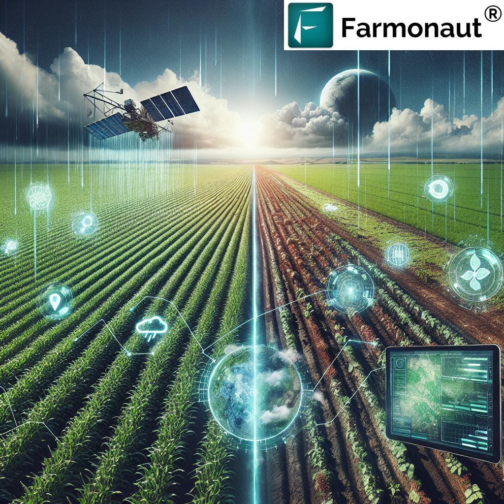
Interferometric Synthetic Aperture Radar (InSAR) Technology Overview
Interferometric Synthetic Aperture Radar (InSAR) stands as a revolutionized geospatial technology, dramatically transforming how we monitor Earth’s surface dynamics. By exploiting the phase difference between two or more radar images captured at different times over the same region, InSAR enables detecting subtle surface deformations, vegetation changes, and even variations in soil moisture with exceptional precision.
For agricultural and forestry applications, InSAR has become crucial. Its capabilities include:
- Crop monitoring and health estimation
- Biomass tracking in forest management
- Assessment of changes in soil moisture
- Detection of surface deformations due to subsidence or intensive farming
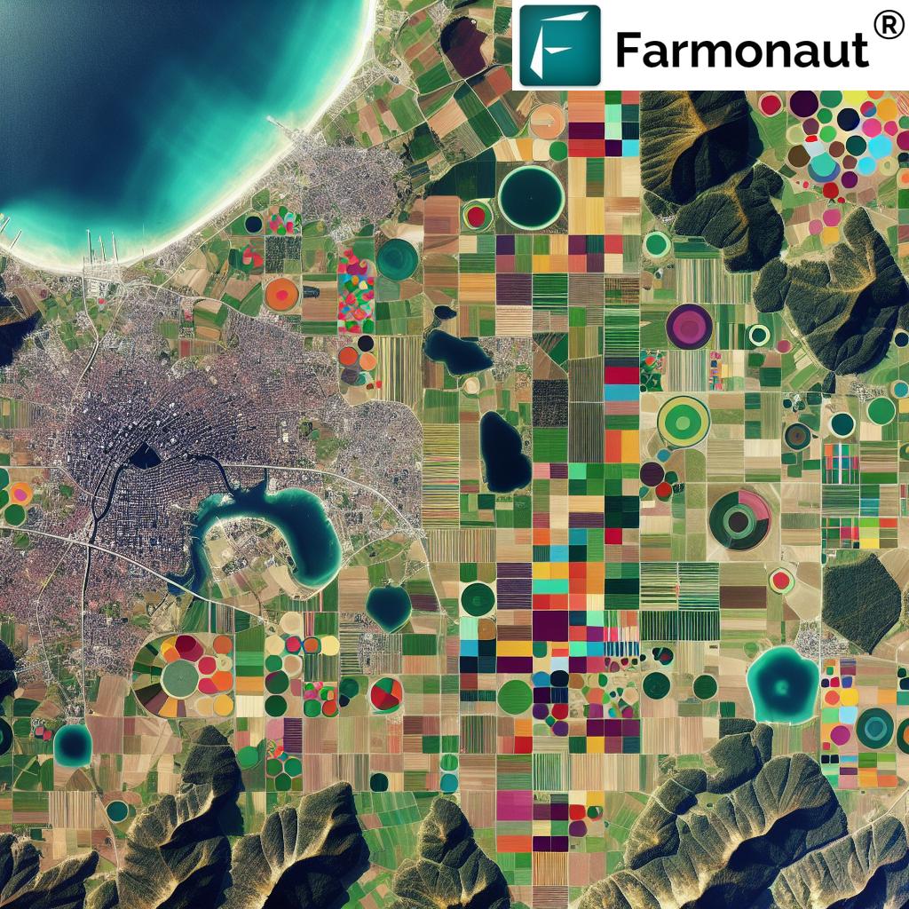
- Land use and landscape change studies
With satellites like Sentinel-1 and TerraSAR-X, we are better equipped than ever before to support sustainable land management and precision agriculture through timely, high-quality data.
Comparing Sentinel-1 and TerraSAR-X: Core Characteristics
When comparing Sentinel-1 and TerraSAR-X: Which InSAR Data Is Right for You?, we must start by understanding each satellite’s unique features—spanning resolution, frequency, monitoring coverage, data accessibility, and cost structures. This foundational overview forms the backbone for deciding which platform best suits your specific sectoral needs in 2025.
Sentinel-1: The ESA’s Flagship C-Band SAR Constellation
- Launched by: European Space Agency (ESA)
- Constellation: Dual-satellite (Sentinel-1A & 1B)
- SAR Frequency: C-band (5.405 GHz)
- Spatial Resolution: Moderate, typically 5–20 meters
- Coverage: Wide swath (up to 400 km); designed for systematic, wide-area, and continuous Earth monitoring
- Temporal Revisit Rate: ~6 days at the equator, even shorter at higher latitudes due to orbital overlaps
- Data Accessibility: Open and free for all users (Access via Farmonaut’s apps)
- Imaging Modes: Multiple, including Interferometric Wide (IW) swath tailored for InSAR
TerraSAR-X: Germany’s High-Resolution X-Band Pioneer
- Launched by: German Aerospace Center (DLR) in 2007
- Successor Missions: TanDEM-X for enhanced capabilities and higher accuracy
- SAR Frequency: X-band (9.65 GHz)
- Spatial Resolution: Very high—down to 1 meter in spotlight mode
- Coverage: Narrow, typically covering 5–30 km wide swaths; flexibility for targeted studies
- Temporal Revisit Rate: Tasking-dependent; can be several days to weeks for a specific location, but very high detail acquired on-demand
- Data Accessibility: Commercial licensing and costs apply; suited for premium, detail-oriented analysis
- Imaging Modes: Spotlight (highest resolution), StripMap, ScanSAR, etc.


Feature Comparison Table: Sentinel-1 vs TerraSAR-X for Agriculture & Forestry
| Feature/Parameter | Sentinel-1 (Estimated Value) | TerraSAR-X (Estimated Value) | Practical Implication |
|---|---|---|---|
| Spatial Resolution | 5 – 20 meters | up to 1 meter (spotlight mode) | Sentinel-1 covers wide fields; suitable for large-scale crop, forest, and land monitoring. TerraSAR-X allows detailed analysis at plot or tree level. |
| Revisit Frequency | ~6 days (even shorter at higher latitudes) | On-demand, tasking required; few days to weeks | Sentinel-1 is effective for continuous time-series analysis and dynamic crop/vegetation change detection; TerraSAR-X is ideal for periodic, high-detail studies. |
| Data Accessibility | Open, Free: Global archives (ESA policy) | Commercial licensing (fees apply) | Sentinel-1 enables wide, affordable monitoring; TerraSAR-X covers premium, high-resolution needs in research or commercial ventures. |
| Monitoring Capability | Wide-area, multi-seasonal, operational coverage | Targeted, high-fidelity, flexible location | Sentinel-1 provides landscape-scale visibility; TerraSAR-X offers targeted high-precision. |
| Noise Level/Interferometric Coherence | Moderate; robust for long time series | High in stable areas; superior for detecting subtle deformations | Higher TerraSAR-X coherence in urban/agro mosaics and for detailed deformation mapping. |
| Typical Applications |
|
|
Match sensor to your spatial, temporal, and application needs. |
“In 2025, over 70% of agricultural InSAR monitoring in Europe will utilize Sentinel-1 data, compared to 20% for TerraSAR-X.”
Top 5 InSAR Insights for 2025: Sentinel-1 vs TerraSAR-X
Let us delve into the top 5 InSAR insights—critical aspects that define why and how you might select either platform for your land monitoring, forestry, or agriculture projects in 2025 and beyond.
1. Spatial Resolution & Detail: Matching Application Scale
Spatial resolution sets the baseline for which platform suits your mapping and monitoring objectives:
- Sentinel-1’s moderate spatial resolution (5–20 meters) matches large-field crop monitoring, land-use dynamics, and landscape-scale biomass estimation. You can effectively assess field boundaries and seasonal trends without the processing overhead or cost of premium imaging.
- TerraSAR-X, at up to 1-meter resolution in spotlight mode, excels in precision agriculture and fine-grained forest resource assessment. The finer spatial detail reveals variability at the sub-field or individual tree level, making it indispensable for surveying small plots or studying subtle crop/vegetation changes.
- For urban-agricultural interfaces or detecting fine-scale subsidence due to intensive land management, TerraSAR-X’s higher resolution is unmatched.
2. Temporal Revisit Rate: Continuous Monitoring vs. Tasked Campaigns
- Sentinel-1 is typically configured for spatial overlap and systematic acquisition. With a temporal revisit rate near 6 days at the equator (and even shorter at higher latitudes), Sentinel-1 is ideal for continuous, near-real-time monitoring of crop growth, phenological changes in forests, and rapid detection of anomalies (e.g., drought, pest infestation).
- TerraSAR-X, on the other hand, operates on a tasking basis. Its revisit interval can range from a few days to several weeks, depending on acquisition plans and commercial demand. Best suited for targeted campaigns or periodic high-resolution analysis where continuous data streams are not required.
- For dynamic agricultural landscapes where frequency of information is as important as detail, Sentinel-1 provides a significant advantage.
Use Case Example:
- Sentinel-1: Tracking soil moisture changes throughout the growing season for large commercial farms in Europe.
- TerraSAR-X: Monitoring subsidence at a precision-irrigated orchard where field-scale detail is required only once a month.
3. Frequency Band Sensitivity: C-band vs. X-band Applications
- Sentinel-1’s C-band penetrates vegetation better than X-band, allowing for biomass estimation, forest change tracking, and soil moisture mapping even under partial canopy cover. Thus, C-band is vital for tree cover mapping, carbon stock estimation, and sustainable forestry management.
- TerraSAR-X’s X-band is more sensitive to surface structures and minor land deformations, but may suffer attenuation in dense vegetation. If your priority is surface detail—such as mapping land subsidence or detecting detailed deformations in intensive farming zones—the X-band offers fine-scale sensitivity.
4. Data Accessibility and Costs: Democratizing Monitoring
- Sentinel-1 data is open and free, supporting large-scale monitoring needs and enabling research, public policy, and government programs across Europe and globally—without barriers of access or licensing costs.
- TerraSAR-X imposes licensing fees; its usage may be limited to commercial, academic, or specialized research endeavors requiring premium detail. For example, when very high spatial fidelity is justified—such as precision yield estimation on high-value crops or pilot forestry studies.
- Farmonaut’s platform provides multiple access points for Sentinel-1-driven agricultural intelligence via mobile/web apps, our API and detailed custom satellite analytics. Explore our developer-friendly API documentation here.
5. Interferometric Performance: Reliable Detection vs. Detailed Mapping
- Sentinel-1’s systematic coverage and repeatable geometry simplify creation of high-quality interferograms over time—crucial for mapping surface deformation, forest harvesting impact, and subsidence across large landscapes.
- TerraSAR-X supports tailored, high-resolution interferometric mapping, especially where coherence is preserved (e.g., urban or semi-arid agricultural mosaics). Phase noise is lower at finer spatial scales, boosting accuracy in change detection and localized field analysis.
- Leveraging both—Sentinel-1 for broad detection and TerraSAR-X for detailed diagnostics—offers a powerful, integrated approach for complex projects.
Choosing the Right InSAR Data for Agricultural and Forestry Applications
Comparing Sentinel-1 and TerraSAR-X: Which InSAR Data Is Right for You? boils down to application-specific needs in 2025 and beyond. Here’s how to determine the best fit:
- If you need large-scale, continuous monitoring for crop growth, soil moisture tracking, or biomass estimation—opt for Sentinel-1. Its open, free data and frequent revisit make it ideal for agencies, research institutions, and enterprises managing vast landscapes. It is also the backbone of regulatory monitoring and national-scale forest or agricultural resource assessments.
- For high-precision, fine-scale studies—such as pilot forestry projects, individual field assessment, or subtle land deformation detection from intensive agriculture—TerraSAR-X offers superior spatial and temporal detail, albeit at a cost.
- Combine both for integrated insight. Use Sentinel-1’s coverage to screen and detect changes and TerraSAR-X’s high resolution for follow-up, detailed field mapping or diagnostics.
How We at Farmonaut Leverage Advanced InSAR Data
At Farmonaut, our mission is to make satellite-driven insights affordable and actionable for users, businesses, and governments worldwide. Here’s how we integrate Sentinel-1 and related SAR data:
- Real-Time Multispectral Monitoring: We deliver near-real-time crop and vegetation monitoring using a blend of multispectral and SAR satellite imagery, accessible via Android, iOS, and web apps.
-
AI-Powered Advisory (Jeevn AI): Our AI system processes satellite data, offering predictive analytics, tailored crop health advisories, and resource management tips for optimal field performance. Explore Jeevn AI’s vision:
- Blockchain Traceability: We ensure secure, transparent records for every crop or resource batch using blockchain, thus empowering traceability and certification along the supply chain.
- Automated Resource & Environmental Impact Management: Users access tools for fleet tracking, asset monitoring, and carbon footprint calculation—key for meeting modern sustainability targets in agriculture and forestry.
- Developer APIs: Our API platform and developer docs enable seamless integration of satellite and radar data analytics into custom systems—facilitating tailored research, digital agriculture solutions, and large-scale enterprise applications.
With Farmonaut, the way we monitor agricultural and forestry landscapes evolves—from detection of surface changes to precision management and resource optimization. Our platforms remain at the forefront of technology and innovation in 2025 and beyond.
FAQs: Sentinel-1, TerraSAR-X, and InSAR Applications
- What is InSAR and why is it important for agriculture?
InSAR (Interferometric Synthetic Aperture Radar) is a technology leveraging radar satellite imagery to detect land surface changes, deformations, and moisture/biomass shifts with high accuracy. It streamlines crop monitoring, drought detection, land subsidence assessment, and sustainable management. - How do Sentinel-1 and TerraSAR-X differ for field-scale applications?
Sentinel-1 offers moderate (5–20 m) spatial resolution ideal for broad-scale crop and field monitoring, while TerraSAR-X’s sub-5 m (down to 1 m) offers unmatched detail for small plots or precision studies. - How frequently can I access updates from each satellite?
Sentinel-1 typically revisits every 6 days (even shorter at high latitudes). TerraSAR-X provides on-demand acquisitions—excellent for one-time diagnostics but less suited for high-frequency, continuous tracking. - Which is better for tracking soil moisture under vegetation?
Sentinel-1’s C-band penetrates vegetation better, supporting robust soil moisture estimates even under partial canopy cover—vital for effective irrigation and drought management in forestry and agriculture. - Can I use both datasets together for advanced applications?
Absolutely. A combined approach leverages Sentinel-1’s wide coverage for screening and TerraSAR-X’s detail for diagnostics, yielding superior insight for agriculture, field studies, and forest management. - How do I access such SAR-based insights using Farmonaut?
You can access and act on advanced SAR and InSAR monitoring through Farmonaut’s web and mobile platforms, including via our API for seamless analytics integration.
Farmonaut Subscription Plans
Choose from flexible subscription packages to fit farm size, monitoring frequency, and sectoral requirements. These plans are designed to scale with your evolving needs across agriculture, forestry, sustainability, and related InSAR-powered applications.
Summary & Conclusion: Comparing Sentinel-1 and TerraSAR-X—What’s Right for Your 2025 Monitoring Needs?
In 2025, “Comparing Sentinel-1 and TerraSAR-X: Which InSAR Data Is Right for You?” is a question rooted in your precise agricultural or forestry challenges, budget, and desired detail:
- Sentinel-1 shines for wide, continuous, operational monitoring—from biomass change detection and soil moisture estimation to phenology tracking and surface deformation across vast landscapes.
- TerraSAR-X excels in precision studies—delivering high spatial resolution necessary for detailed field mapping, intensive land management assessment, and pinpoint deformation detection at the plot or tree level.
- Combine the platforms for unmatched insights: Sentinel-1 for broad detection and TerraSAR-X for follow-up diagnostics.
With InSAR technology evolving and new missions ahead, the synergy between these platforms—alongside affordable solutions from Farmonaut—continues to empower decision-makers and researchers for smarter, more sustainable land management in 2025 and beyond.