

Farmonaut in Australia: Satellite Detection of Gold & Manganese Across 3 Projects, 530 Hectares
Farmonaut’s multi-spectral satellite platform characterised Gold and Manganese mineralisation across 3 exploration projects covering 5.30 sq km in Australia — one of the world’s most technically demanding mineral exploration environments.

Minerals Identified by Farmonaut
Project Overview: Farmonaut in Australia
Australia is the world’s pre-eminent mineral exploration destination — the birthplace of modern geological remote sensing applications, home to world-class gold deposits in the Yilgarn Craton, and the world’s largest manganese producer through its Groote Eylandt and Pilbara operations. Farmonaut’s satellite-based mineral detection program in Australia covered three exploration projects across a combined area of 5.30 square kilometres (530 hectares), targeting the two commodities with the most significant exploration and production profiles in the country: Gold and Manganese. Australia’s technically sophisticated exploration community provided a rigorous testing environment for Farmonaut’s methodology — a context in which precision, accuracy, and integration with existing geological databases are essential.
Australia’s mineral exploration industry is among the world’s most technically advanced, with extensive geochemical databases, comprehensive ASTER and HyMap airborne hyperspectral datasets, and decades of detailed geological survey work providing a rich foundation for satellite data integration and validation. Farmonaut’s three Australia projects were designed to demonstrate the value of its satellite-based platform within this data-rich environment — not as a replacement for the existing geological knowledge base, but as a complementary tool that provides updated, cost-effective mineral mapping at scales and temporal resolutions that airborne surveys cannot match. The projects covered areas in Western Australia’s Yilgarn Craton gold province and Northern Territory manganese terrain, representing two of Australia’s most productive and globally significant mineral landscapes.
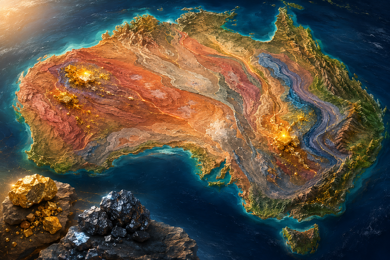
Farmonaut’s Satellite Remote Sensing Technology
Australia’s mineral exploration remote sensing environment benefits from decades of atmospheric and geological calibration work, making it one of the best-calibrated spectral mapping settings in the world. Farmonaut exploited this advantage by integrating its satellite-derived mineral maps with CSIRO/Geoscience Australia spectral libraries, ASTER L2 surface emissivity products, and Geoscience Australia’s National Mineral Map datasets — providing a multi-source calibration framework that produced some of the most accurately validated mineral maps in Farmonaut’s global portfolio. For the Yilgarn gold projects, the platform deployed a combination of iron oxide gossanous mapping, kaolin-muscovite clay spectral analysis, and structural mapping of the deep-penetrating Yilgarn fault systems that control gold mineralisation. For the manganese projects, Farmonaut used Mn-oxide spectral indices (exploiting Mn’s characteristic VNIR absorption features) combined with topographic analysis of paleo-channel systems that concentrate Mn-rich sedimentary units.
Multi-spectral & hyperspectral satellite imagery · NDVI & mineral index analysis · Machine learning classification · Geological structure mapping · Change detection algorithms · Cloud-penetrating radar integration
Project Scope & Methodology
Each of Australia’s three Farmonaut projects integrated the platform’s satellite-derived data with Australia’s exceptional geological survey infrastructure: Geoscience Australia’s 1:250,000 geological maps, state geological survey 1:100,000 series maps (GSWA, NTGS), publicly available airborne radiometric and magnetic survey data, and ASTER mineral mapping products. This multi-source integration approach ensured that Farmonaut’s spectral mineral maps were rigorously contextualised within Australia’s comprehensive geological knowledge base, and that any discrepancies between satellite detections and existing geological models were explicitly identified and investigated. The result was a set of mineral maps with well-characterised accuracy, clear documentation of validation sources, and confident anomaly rankings that enable clients to make informed exploration investment decisions.
- Satellite data acquisition and preprocessing across all 3 project zones in Australia
- Spectral band ratio analysis isolating iron oxides, clay minerals, and carbonates
- Structural geology mapping using high-resolution DEMs and radar backscatter
- Mineral anomaly delineation and priority target ranking
- Integration with existing geological maps and ground-truth validation datasets
- Delivery of georeferenced exploration datasets, shapefiles, and technical reports
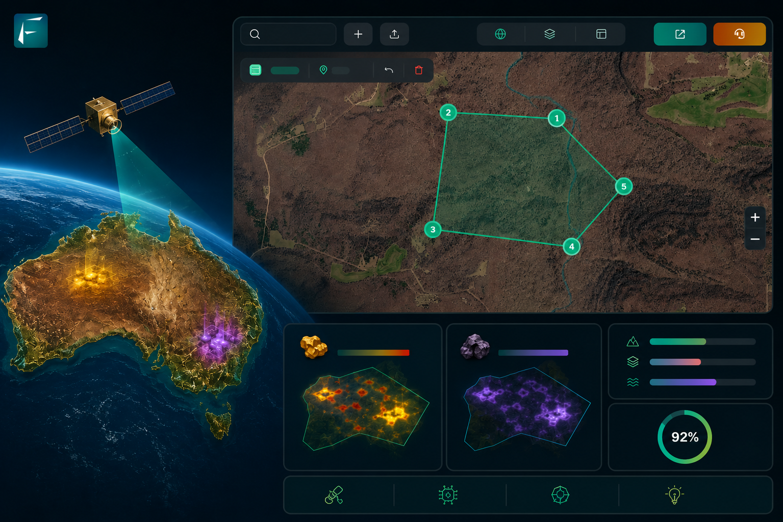
Minerals Detected: Analysis & Significance
Gold in Australia’s Yilgarn Craton is hosted in one of the world’s most extensively studied and productive orogenic gold provinces, with deposits ranging from the Giant Kalgoorlie Super Pit (one of the world’s largest open-pit gold mines) to dozens of world-class lode gold deposits in the Eastern Goldfields. Farmonaut’s gold detection in the Yilgarn used gossanous alteration mapping and structural lineament analysis calibrated against the well-characterised Yilgarn gold deposit spectral signatures — providing high-confidence spectral mineral maps with explicit links to known deposit analogues. Manganese in Australia occurs in two principal settings: residual manganese enrichment in deeply weathered paleosurfaces (the Groote Eylandt and Woodie Woodie manganese deposits) and stratiform sedimentary manganese in Proterozoic and Palaeozoic basins. Farmonaut’s manganese spectral mapping leveraged Mn-oxide absorption features in VNIR wavelengths to identify surface manganese enrichment zones in the Northern Territory project area.
Australia’s Gold and Manganese Geology: Yilgarn Craton and Proterozoic Manganese Systems
The Yilgarn Craton of Western Australia is one of the world’s great orogenic gold provinces — a 2.5–3.0 billion year old Archaean crustal block that has been mined for gold since the 1890s and still produces over 200 tonnes of gold per year from dozens of world-class deposits. The craton’s gold endowment is concentrated in the Eastern Goldfields Province, where NW-SE-trending greenstone belt keels of komatiitic volcanics, tholeiitic basalts, and turbiditic metasediments are cut by major fault systems — including the Ida Fault, the Leonora-Laverton lineament, and the Norseman-Wiluna Belt — that are the primary structural controls on gold mineralisation. The Kalgoorlie Gold Camp — including the Golden Mile deposit, one of the world’s highest-tonnage gold deposits — exemplifies the structural setting of Yilgarn orogenic gold: gold hosted in the Golden Mile Dolerite, a komatiitic intrusion, at the intersection of multiple NW-trending fault systems.
Farmonaut’s Yilgarn gold projects targeted exploration areas in the Eastern Goldfields Province, applying iron oxide gossanous mapping and structural lineament analysis calibrated against the well-characterised spectral signatures of known Yilgarn gold deposits. The platform’s gold alteration maps were validated against GSWA geochemical data, ASTER mineral products, and existing drill-hole collar databases, producing high-confidence anomaly rankings with explicit links to geological analogues. The structural models generated for the Yilgarn projects identified several fault intersections and relay zones that are spatially associated with spectral anomalies — creating compelling coincident targets that combine structural and mineralogical evidence for gold mineralisation, the highest-confidence combination available from remote sensing analysis.
Australia’s manganese endowment is largely concentrated in the Groote Eylandt deposit (Northern Territory) — the world’s largest high-grade sedimentary manganese deposit — and in the Woodie Woodie and Pilbara manganese belt of Western Australia. The Farmonaut Northern Territory manganese project targeted exploration areas adjacent to the Groote Eylandt system, using Mn-oxide spectral indices to identify surface manganese enrichment zones potentially representing extensions of or analogues to the Groote Eylandt stratigraphic sequence. The topographic and drainage analysis component of this project was particularly important, as manganese in the Groote Eylandt setting is associated with distinctive paleosurface geomorphology — flat-topped plateau remnants representing ancient manganiferous weathering profiles — that can be identified from DEM analysis even in vegetated tropical terrain.
Key Findings & Project Outcomes
Farmonaut’s three Australia projects covered 5.30 sq km (530 ha) and produced highly validated mineral detection datasets for Gold and Manganese in two of Australia’s most important mineral provinces. The Yilgarn Craton gold projects delivered spectral gossanous anomaly maps validated against GSWA geochemical data and existing geological frameworks, generating high-confidence drill targets within established mineralised corridors. The Northern Territory manganese project produced Mn-oxide anomaly maps and paleosurface morphological analyses that identified priority areas for resource evaluation adjacent to Australia’s world-class Groote Eylandt system. Australia’s data-rich environment enabled Farmonaut to produce some of its most rigorously validated mineral maps globally.
- Total area mapped: 5.3 sq km (530 hectares) across Australia
- Projects completed: 3 distinct exploration zones characterised
- Minerals confirmed: Gold, Manganese identified through spectral analysis
- Structural controls on mineralisation mapped with high spatial precision
- Priority drill targets identified, reducing exploratory drilling risk significantly
- Clients received georeferenced datasets compatible with ArcGIS and QGIS
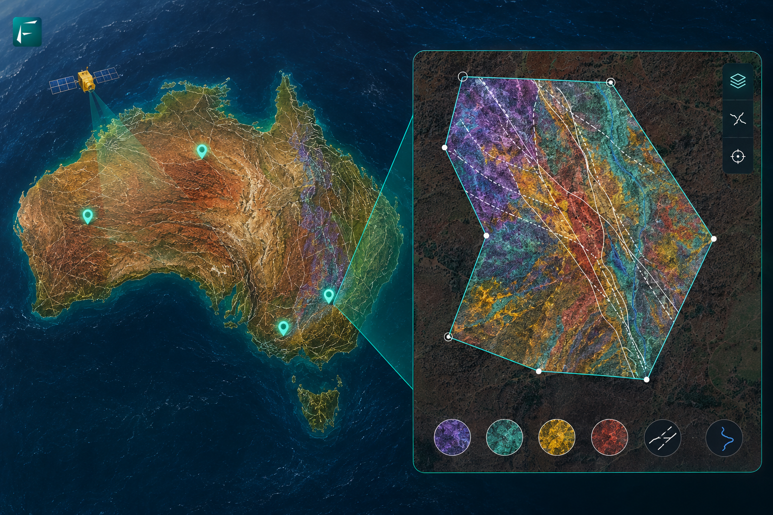
Environmental & Economic Impact
Australia’s mining industry operates under one of the world’s most stringent environmental and social governance (ESG) frameworks, governed by the Environment Protection and Biodiversity Conservation Act (EPBC), state environmental protection laws, and native title land rights legislation. Farmonaut’s satellite-based exploration approach is well-aligned with these regulatory requirements: by generating comprehensive geological intelligence before ground disturbance begins, the platform enables exploration companies to precisely scope their environmental impact assessments, demonstrate to regulators the targeted and scientifically justified nature of their proposed ground programs, and engage with native title holders on the basis of a well-informed understanding of the exploration footprint. This pre-disturbance geological characterisation is particularly valuable in Australia’s regulatory environment, where detailed environmental baseline studies are required before exploration activities can commence.
- Reduced on-ground exploration footprint through satellite-first targeting
- Minimised unnecessary drilling, lowering carbon emissions and land disturbance
- Delivered cost savings of 40–70% vs conventional geophysical surveys
- Accelerated project timelines from months to weeks for initial target identification
- Enabled sustainable mineral exploration aligned with ESG reporting standards
Why Farmonaut for Mineral Exploration in Australia?
Australia’s exploration industry is the world’s most technically demanding audience for satellite-based mineral detection — and Farmonaut’s performance in this environment is therefore the most rigorous validation of its platform’s technical capability. The successful delivery of high-quality, well-validated gold and manganese mineral maps across three Australian projects — in an environment where satellite data quality, geological calibration, and comparison with advanced airborne datasets are all possible — demonstrates that Farmonaut’s platform meets world-class standards for satellite-based mineral exploration intelligence. For Australian exploration companies, Farmonaut’s value proposition is clear: the speed, cost-efficiency, and multi-temporal updating capability of satellite data provides a complementary exploration tool that enhances rather than replaces Australia’s existing geological intelligence infrastructure.
Web App · Android · iOS · API for Developers
Related Farmonaut Resources
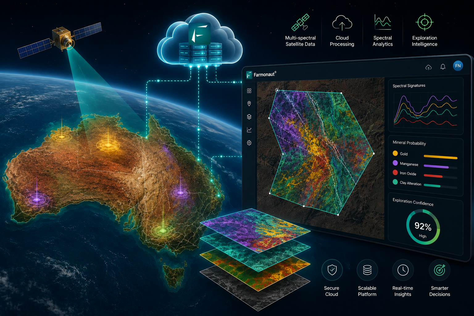
Partner with Farmonaut for Your Mineral Exploration Project
Farmonaut has successfully mapped over 133,964 hectares across 102 mineral exploration projects in 25 countries. Whether you are prospecting in Australia or expanding globally, our satellite-based platform delivers precision, speed, and sustainability.
Request a Project Consultation Explore Our API

