Comprehensive Guide to Land Classification in West Bengal: Types, Methods, and Agricultural Implications

In this extensive blog post, we will delve deep into the classification of land in West Bengal, exploring its various aspects, methods, and significance for agriculture and regional development. As experts in remote sensing and agricultural technology, we at Farmonaut understand the critical importance of accurate land classification for effective farm management and sustainable agricultural practices.
Table of Contents
- Introduction to Land Classification
- The Importance of Land Classification in West Bengal
- Types of Land Classification in West Bengal
- Methods Used for Land Classification
- Agricultural Implications of Land Classification
- Challenges in Land Classification
- Farmonaut’s Role in Enhancing Land Classification
- Future Trends in Land Classification
- FAQ Section
- Conclusion
1. Introduction to Land Classification
Land classification is a systematic categorization of land based on its physical, chemical, and biological characteristics. It serves as a fundamental tool for land use planning, agricultural management, and environmental conservation. In the context of West Bengal, a state known for its diverse landscapes and agricultural importance, land classification plays a crucial role in shaping policies and practices related to land use.
2. The Importance of Land Classification in West Bengal
West Bengal, with its varied topography ranging from the Himalayan foothills to the Gangetic plains and the Sundarbans delta, presents a unique challenge in terms of land management. The classification of land in West Bengal is essential for several reasons:
- Agricultural Planning: It helps in determining suitable crops for different areas.
- Resource Allocation: Aids in the efficient distribution of resources like water and fertilizers.
- Environmental Conservation: Identifies areas that need protection or restoration.
- Urban Planning: Guides the expansion of urban areas while preserving agricultural lands.
- Economic Development: Supports decision-making for industrial and infrastructure development.
3. Types of Land Classification in West Bengal
The land classification in West Bengal is diverse and comprehensive, reflecting the state’s varied geography. Here are the main categories:
3.1 Agricultural Land Classification
- Irrigated Land: Areas with assured water supply for cultivation.
- Rainfed Land: Regions dependent on rainfall for agriculture.
- Fallow Land: Temporarily uncultivated agricultural land.
- Plantation Land: Areas dedicated to tea, rubber, or other plantations.
3.2 Forest Land Classification
- Reserved Forests: Strictly protected areas.
- Protected Forests: Areas with controlled use for local communities.
- Unclassed State Forests: Forest areas not falling under specific categories.
3.3 Urban and Built-up Land
- Residential Areas
- Industrial Zones
- Commercial Districts
- Transportation Networks
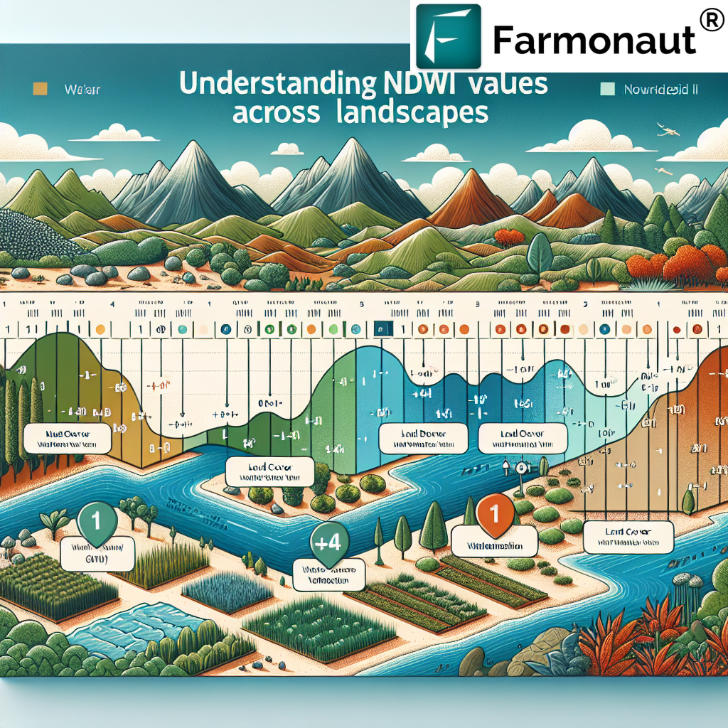
3.4 Wetlands and Water Bodies
- Rivers and Canals
- Lakes and Ponds
- Coastal Wetlands (like the Sundarbans)
3.5 Wasteland Classification
- Barren Rocky Areas
- Salt-affected Lands
- Gullied and Ravinous Land
4. Methods Used for Land Classification
The classification of land in West Bengal employs various advanced techniques:
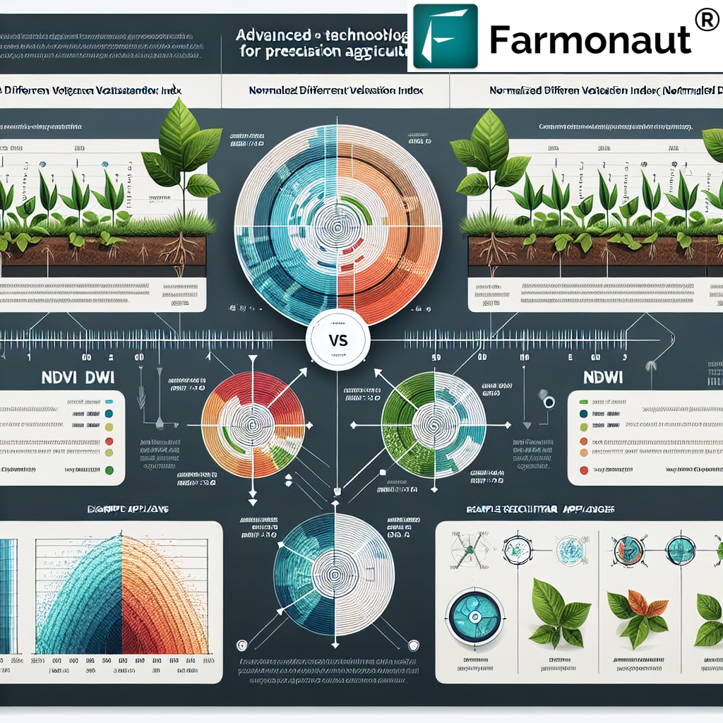
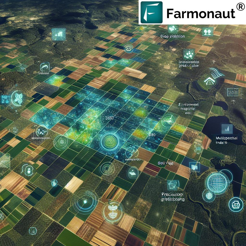
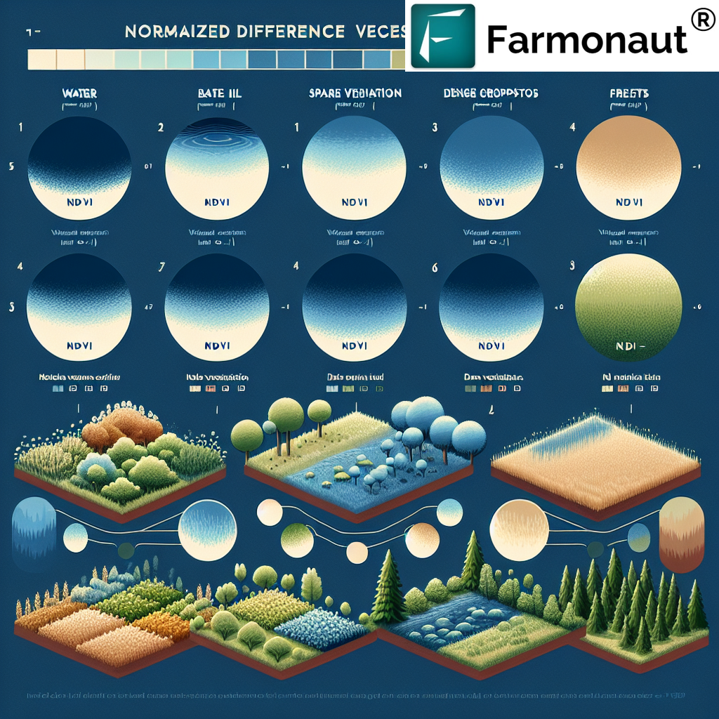
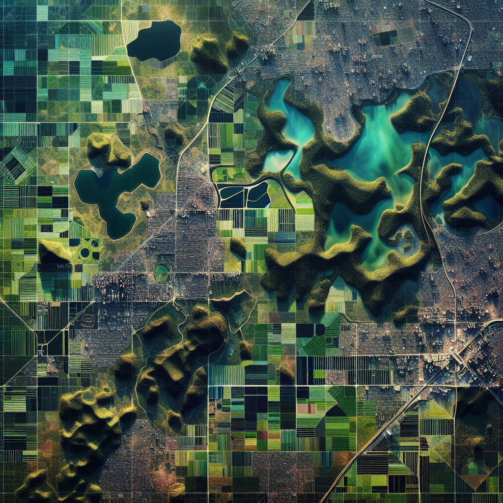
4.1 Remote Sensing
Satellite imagery plays a crucial role in modern land classification. At Farmonaut, we utilize high-resolution satellite data to analyze land cover and use patterns. Our advanced algorithms process multispectral images to identify different land types accurately.
4.2 Geographic Information Systems (GIS)
GIS tools are essential for integrating various data layers, including topography, soil types, and land use patterns. This integration allows for comprehensive land classification and spatial analysis.
4.3 Field Surveys
While technological methods are efficient, ground-truthing through field surveys remains crucial. These surveys validate remote sensing data and provide detailed information about soil characteristics and local land use practices.
4.4 Historical Data Analysis
Analyzing historical land use data helps in understanding land use changes over time, which is crucial for predicting future trends and making informed decisions.
4.5 Artificial Intelligence and Machine Learning
At Farmonaut, we employ AI and machine learning algorithms to enhance the accuracy of land classification. These technologies can identify subtle patterns and changes in land use that might be missed by traditional methods.
5. Agricultural Implications of Land Classification
The land classification in West Bengal has significant implications for agriculture:
5.1 Crop Selection and Planning
Different land types are suitable for different crops. Accurate classification helps farmers choose the most appropriate crops for their land, leading to better yields and resource efficiency.
5.2 Irrigation Management
Understanding land types helps in designing efficient irrigation systems. For instance, areas classified as drought-prone would require different irrigation strategies compared to naturally water-rich areas.
5.3 Soil Conservation
Land classification identifies areas prone to erosion or degradation, allowing for targeted soil conservation measures.
5.4 Precision Agriculture
With accurate land classification data, farmers can implement precision agriculture techniques, optimizing the use of inputs like fertilizers and pesticides.
5.5 Climate-Smart Agriculture
Land classification data, when combined with climate information, can guide climate-smart agricultural practices, enhancing resilience to climate change.
6. Challenges in Land Classification
Despite advancements, several challenges persist in the classification of land in West Bengal:
- Rapid Land Use Changes: Urban expansion and changing agricultural practices lead to frequent changes in land use patterns.
- Data Accuracy: Ensuring the accuracy of remote sensing data and its interpretation can be challenging.
- Climate Change Impact: Changing climate patterns are altering traditional land use capabilities.
- Small Landholdings: The prevalence of small and fragmented landholdings in West Bengal makes detailed classification challenging.
- Technological Adoption: While advanced technologies exist, their adoption at the grassroots level remains a challenge.
7. Farmonaut’s Role in Enhancing Land Classification
At Farmonaut, we are committed to improving the accuracy and efficiency of land classification in West Bengal and beyond. Our advanced satellite-based farm management solutions offer several advantages:
- Real-time Monitoring: Our satellite imagery provides up-to-date information on land use changes.
- AI-driven Analysis: Our Jeevn AI Advisory System analyzes satellite data to provide insights on land health and optimal use.
- Customized Solutions: We offer tailored solutions for different scales, from individual farmers to large agribusinesses and government agencies.
- Integration with Other Data: Our platform integrates land classification data with weather forecasts, soil health information, and more for comprehensive farm management.
To experience how Farmonaut can revolutionize your approach to land management and agriculture, visit our app or explore our API services.
Comparison: Farmonaut Satellite System vs. Drone and IoT-based Farm Monitoring
| Feature | Farmonaut Satellite System | Drone-based Monitoring | IoT-based Monitoring |
|---|---|---|---|
| Coverage Area | Large-scale (regional to global) | Limited (local area) | Very limited (specific points) |
| Frequency of Data Collection | Regular (as per satellite pass) | On-demand (requires manual operation) | Continuous |
| Initial Setup Cost | Low | High | Medium to High |
| Operational Complexity | Low (user-friendly interface) | High (requires skilled operator) | Medium (requires maintenance) |
| Data Processing | Automated (AI-driven) | Semi-automated | Automated |
| Regulatory Compliance | Easy (no flying restrictions) | Complex (subject to flying regulations) | Moderate (depends on sensor types) |
| Scalability | Highly scalable | Limited scalability | Moderately scalable |
8. Future Trends in Land Classification
The future of land classification in West Bengal is likely to see several advancements:
- Hyperspectral Imaging: This will allow for more detailed and accurate land classification.
- Big Data Analytics: Integration of diverse data sources for more comprehensive land analysis.
- Blockchain for Land Records: Enhancing the transparency and security of land classification data.
- Crowdsourced Data: Incorporating local knowledge for more accurate and context-specific classification.
- 3D Land Mapping: Providing a more detailed understanding of land topography and its implications.
9. FAQ Section
Q1: Why is land classification important in West Bengal?
A1: Land classification in West Bengal is crucial for efficient agricultural planning, resource allocation, environmental conservation, urban development, and economic growth. It helps in making informed decisions about land use and management.
Q2: How often is land classification data updated in West Bengal?
A2: The frequency of updates varies, but with modern satellite technology, land classification data can be updated much more frequently than traditional methods. At Farmonaut, we provide regular updates based on the latest satellite imagery.
Q3: Can small-scale farmers benefit from land classification data?
A3: Absolutely. Small-scale farmers can use land classification data to make informed decisions about crop selection, irrigation methods, and soil management practices, leading to improved yields and sustainability.
Q4: How does climate change affect land classification in West Bengal?
A4: Climate change can alter land characteristics, affecting its classification. For instance, areas previously suitable for certain crops might become unsuitable due to changes in rainfall patterns or temperature.
Q5: Is satellite-based land classification accurate enough for practical use?
A5: Yes, modern satellite-based classification methods, especially when combined with AI and ground-truthing, provide highly accurate results suitable for practical applications in agriculture and land management.
10. Conclusion
The classification of land in West Bengal is a complex yet crucial process that underpins agricultural productivity, environmental conservation, and sustainable development in the region. As technology advances, the accuracy and accessibility of land classification data continue to improve, offering new opportunities for farmers, policymakers, and researchers alike.
At Farmonaut, we are at the forefront of this technological revolution in agriculture. Our satellite-based solutions provide accurate, timely, and actionable insights for land classification and management. We invite you to explore how our technology can transform your approach to agriculture and land use.
Download our app today:
For developers interested in integrating our technology into their solutions, check out our API documentation.
Join us in revolutionizing agriculture through advanced land classification and management techniques. Together, we can build a more sustainable and productive future for West Bengal and beyond.