Geospatial Technology in Agriculture: 7 Ways Transforming Farming
Meta Description: Discover 7 key ways geospatial technology in agriculture—like GIS and remote sensing—are revolutionizing modern farming for improved yields, precision, and sustainability.
Introduction: The Rise of Geospatial Technology in Agriculture
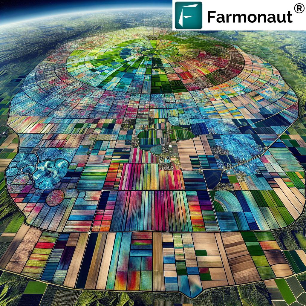
In recent years, geospatial technology in agriculture has emerged as a transformative force. From smallholdings in India to vast commercial farms worldwide, the adoption of advanced GIS systems, remote sensing tools, and GPS-guided farm equipment has ushered in a new era of precision and sustainability. As global food demand intensifies alongside mounting climate challenges, innovative solutions like satellite imagery for crop health, soil mapping for crop yields, and agricultural data management are essential.
This blog will guide you through the top 7 ways geospatial technologies are revolutionizing farming practices, optimizing resource use, and supporting sustainable agriculture—with a close look at how solutions like Farmonaut put cutting-edge digital agriculture tools in every farmer’s hand.
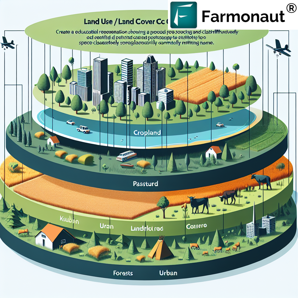
Overview: What is Geospatial Technology in Agriculture?
Geospatial technology encompasses a variety of tools that enable users to capture, store, analyze, and visualize spatial data linked to Earth’s surface. Key technologies include:
- Geographic Information Systems (GIS): Powerful for mapping, analyzing, and managing spatial information on fields, soils, water, and crops.
- Global Positioning Systems (GPS): Used for precise navigation, mapping field boundaries, and guiding machinery.
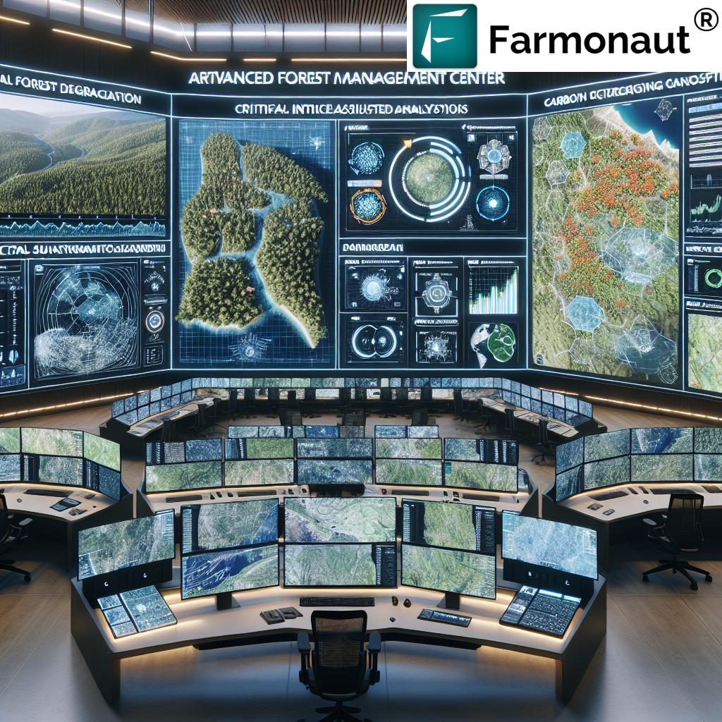
- Remote Sensing: Involves capturing images and data from satellites or drones to monitor agricultural fields and natural resources—detecting issues invisible to the naked eye.
- Data Management Tools: Platforms and applications that handle vast quantities of agricultural, soil, and crop data for informed decision-making.
By integrating these solutions, farmers can optimize resource use, monitor crop health, and promote environmental stewardship more efficiently than ever before.
Comparison Table of Geospatial Applications in Agriculture
| Geospatial Technology/Application | Key Feature/Function | Estimated Impact on Yield (%) | Sustainability Benefit |
|---|---|---|---|
| Precision Agriculture (GIS Mapping) | Analyzing spatial variability in field conditions for targeted interventions | 10–15% | Reduces overapplication of inputs; focused resource optimization |
| Crop Monitoring with Remote Sensing | Real-time crop health analysis using satellite/drone imagery | 10–20% | Early problem detection; prevents unnecessary pesticide use |
| Yield Mapping & Data Management | Spatial yield analysis via GPS-enabled harvesters | 8–12% | Optimizes planting/harvesting schedules; reduces waste |
| Variable Rate Technology (VRT) | Site-specific application of fertilizers, water, or pesticides | 6–15% | Reduces chemical runoff; preserves soil and water ecosystems |
| Soil & Irrigation Mapping | Detailed assessment and management of soil health and moisture | 5–14% | Enhances water conservation; reduces waterlogging/erosion |
| Pest & Disease Detection | Spatial prediction and targeted management of outbreaks | up to 10% | Limits pesticide use; reduces resistance build-up |
| Supply Chain Optimization | Improved logistics, distribution, and traceability using geospatial data | 5–8% | Reduces food waste; enhances transparency and fair trade |
1. Precision Agriculture and GIS in Farming
Precision agriculture is one of the most significant applications of geospatial technology in agriculture. It focuses on managing the inherent spatial variability of fields—taking into account differences in soil types, topography, and climate conditions—to improve efficiency and crop yields.
How GIS Supports Precision Farming
- Spatial Data Analysis: GIS tools gather and layer data on soil, water sources, crop histories, elevation, and even historical weather patterns, enabling targeted management strategies.
- Site-Specific Interventions: By analyzing GIS maps, farmers can identify areas within fields that require different levels of inputs (water, fertilizers, pesticides), thus minimizing waste and maximizing yields.
- Enhanced Crop Selection & Scheduling: Understanding spatial variability supports more informed decisions about which crops to plant, when, and how to rotate them for sustainability.
The latest advancements in GIS in farming demonstrate how this technology supports smarter resource allocation and increases profitability by reducing waste and enhancing field productivity.


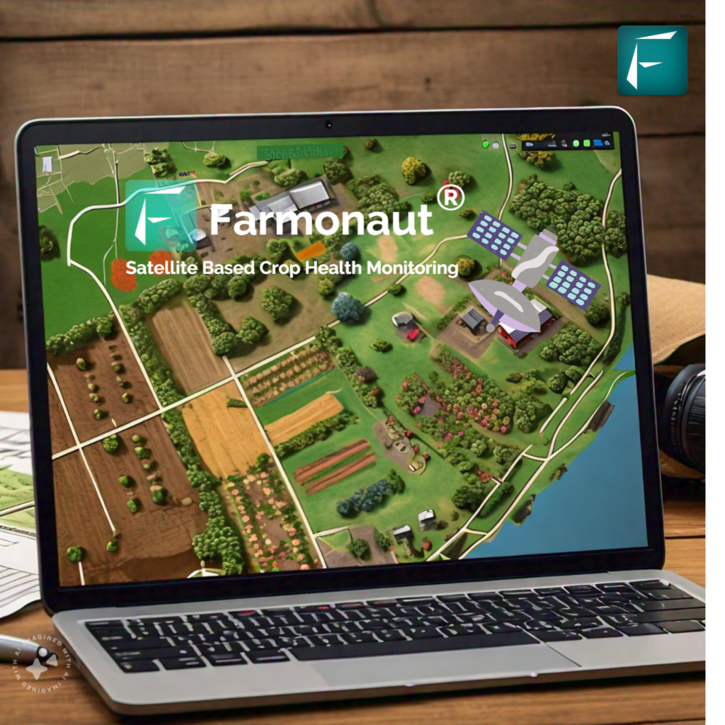
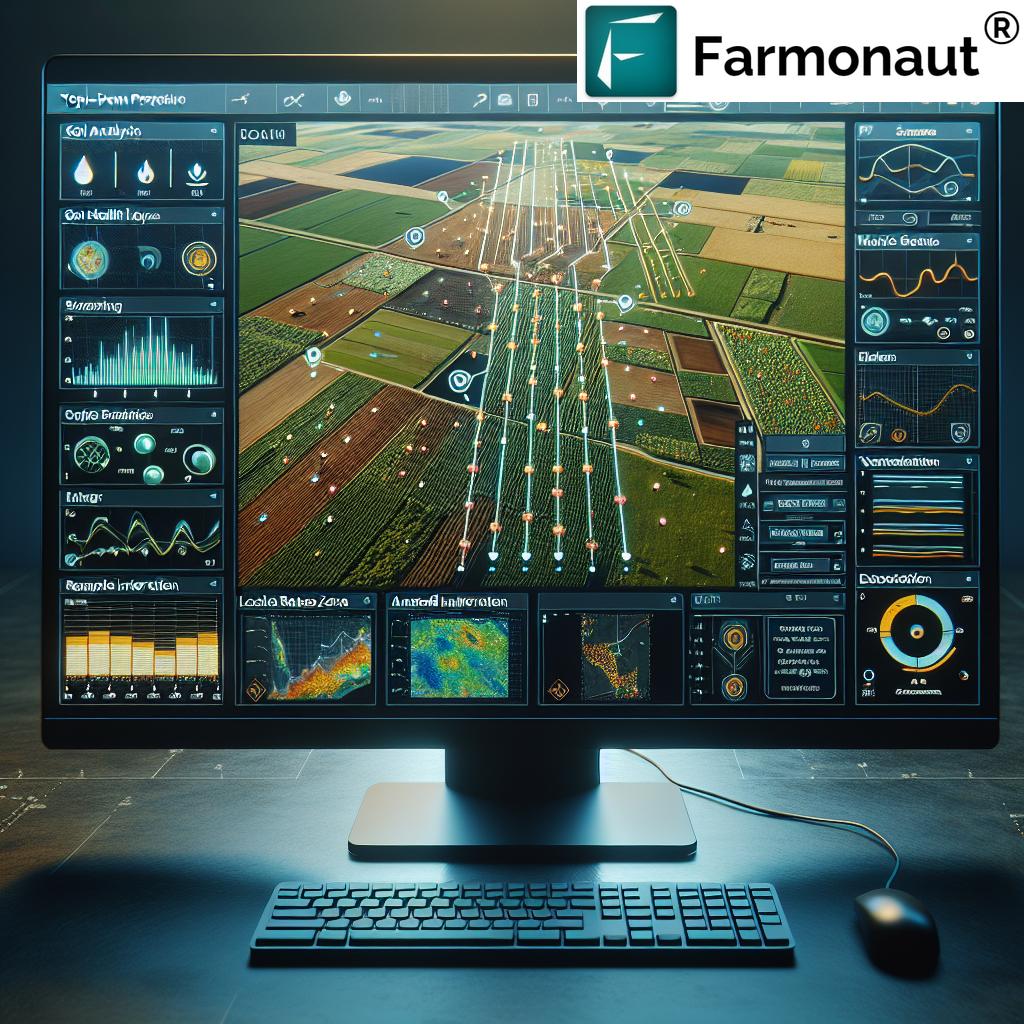
Farmonaut’s platform gives users access to geospatial data via Android, iOS, and web apps, allowing for affordable and scalable precision agriculture from anywhere. With our solution, farmers can effortlessly analyze field variability, schedule interventions, and make data-driven decisions in near-real time.
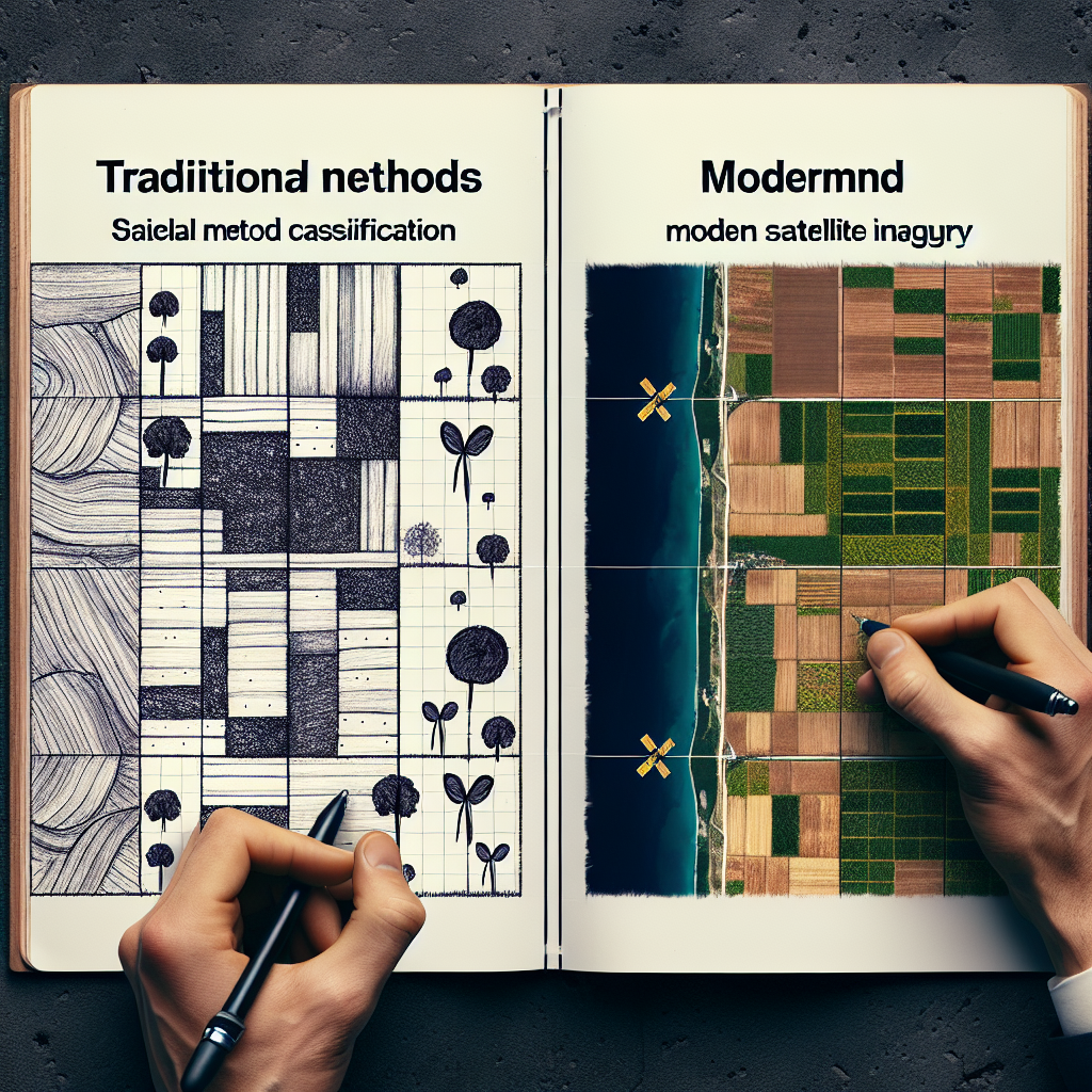
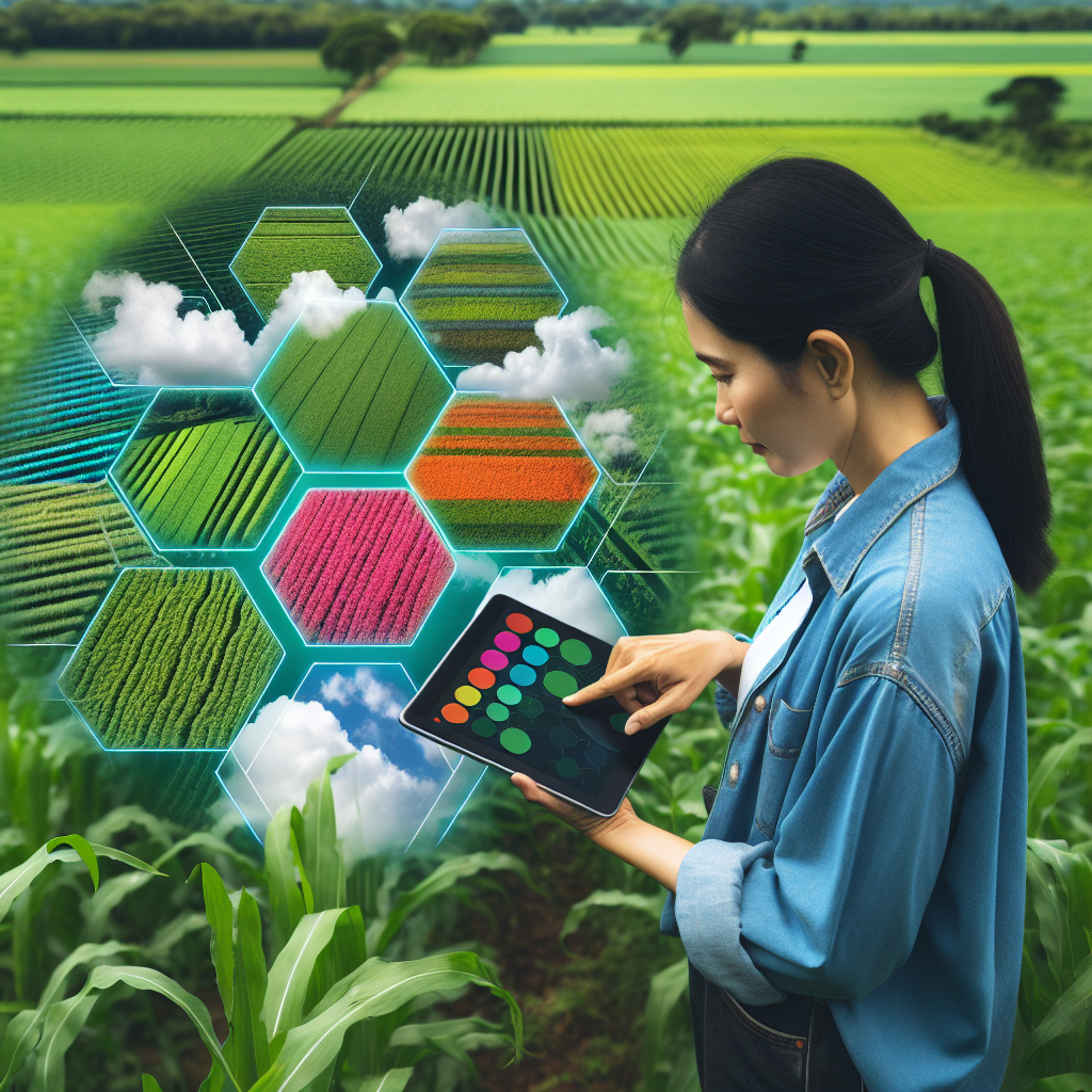
2. Crop Monitoring with Remote Sensing & Yield Mapping
Remote sensing and yield mapping are essential for crop monitoring and optimizing future strategies.
Remote sensing involves collecting agricultural data via satellites or drones, using multispectral imagery to monitor crop health patterns and detect potential issues early—including nutrient deficiencies, pest infestations, or diseases.
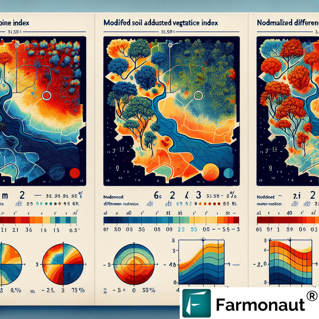
- Satellite Imagery: Provides comprehensive field coverage, unbiased by weather or time, for detailed analysis of vegetation health and moisture levels.
- Drones: Capture high-resolution, up-close imagery to monitor plant growth, flower development, and identify problem spots otherwise not visible from ground level.
Yield Mapping: Turning Harvest Data into Insight
As harvesters traverse fields equipped with GPS, real-time yield and location data is collected. This information is then analyzed via GIS to create yield maps, showing spatial variability in production and highlighting which areas require targeted interventions for the next planting cycle.
Crop monitoring with remote sensing not only boosts yields by ensuring early interventions but also enhances sustainable farming practices by avoiding unnecessary fertilizer or pesticide treatments. Interested in learning more? See our crop plantation, forest, and advisory services—which help users monitor crop and forest health using satellite data.
GIS in farming integrates yield mapping, soil analysis, and weather data—enabling farmers to better plan interventions and improve resource management for the coming season.
3. Variable Rate Technology (VRT) in Agriculture
Variable Rate Technology in agriculture (VRT) leverages geospatial input to deliver site-specific application of water, seeds, fertilizers, and chemicals across a field. Rather than a uniform blanket approach, VRT integrates GIS analysis to determine exactly how much input is required at every point.
VRT Implementation: Maximize Productivity, Minimize Waste
- Application: Fertilizers are delivered only where there is a nutrient deficiency, improving crop growth while cutting costs and conserving resources.
- Benefits: Reduces environmental impact by limiting chemical runoff, supports precision agriculture goals, and fosters sustainable farming practices.
Farmonaut enables optimal VRT workflow by providing real-time spatial insights via app-based dashboards, helping users monitor crop health, soil moisture, and field variability. VRT and related management tools are indispensable for achieving higher efficiency in modern agriculture.
Want to automate more aspects of your operation? Explore our fleet and resource management tools, designed to maximize logistical and field efficiency for agribusinesses.
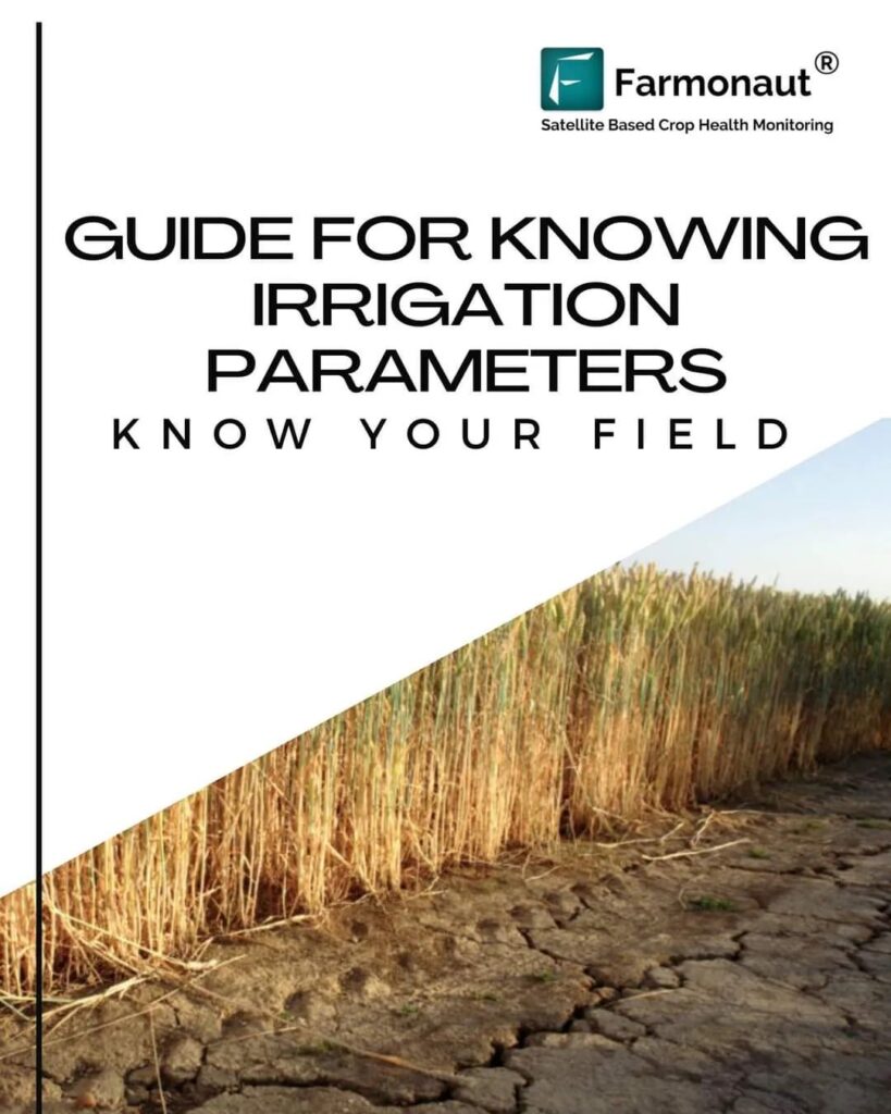
4. Soil Mapping for Crop Yields & Irrigation Planning
Soil management is critical to the success of any crop. Soil mapping for crop yields is made possible by geospatial technologies like GIS and satellite imagery, which allow farmers to precisely analyze soil properties (texture, moisture content, nutrient levels) on a spatial scale.
- Assessment: Spatially accurate soil maps guide crop selection and inform targeted interventions for improving soil health.
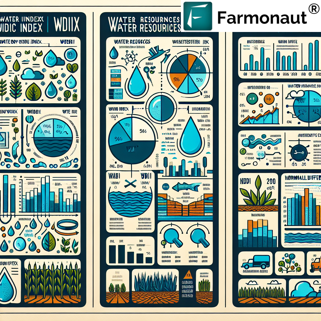
- Irrigation Planning: By mapping moisture levels across different zones, farmers can adopt efficient irrigation systems. This approach ensures optimal water allocation, reducing both cost and environmental impact.
GIS soil mapping and remote sensing data can indicate areas that need fertilization, improved drainage, or strategic rotation.
On our platform, users can track real-time soil moisture and make precise irrigation decisions. This supports both yield increases and long-term conservation efforts.
Need to manage large tracts of farmland? Our large-scale farm management app provides oversight of soil health, moisture, field performance, and even advisory services for improved yields and resource distribution.
5. Pest and Disease Management Using Geospatial Tools
Outbreaks of pests and diseases can threaten entire harvests if not addressed quickly. Geospatial technology is integral to early detection, spatial distribution mapping, and timely interventions.
- Satellite Imagery for Crop Health: Detects changes in vegetation indices that signal emerging issues, often before symptoms are visible to the naked eye.
- Targeted Pest Control: GIS analysis identifies specific risk areas, supporting resource-efficient targeted spraying and limiting pesticide overuse.
- Disease Spread Modeling: Analyzing spatial and temporal patterns helps forecast future outbreaks and prepare containment or treatment plans.
Interested in traceability and transparency from field to food chain? Check out our blockchain-based product traceability solution, providing accuracy and consumer confidence throughout the agricultural supply chain.
For insurance and risk mitigation, we support crop loan and insurance verification through our satellite-driven services, improving both farmer access to finance and reducing fraud for financial institutions.
6. Agricultural Supply Chain Optimization with Location Intelligence
Geospatial data is transforming agricultural supply chain optimization—an area historically plagued by inefficiencies, losses, and lack of transparency.
- Location Intelligence: Tracks product flow from field to warehouse to market, optimizing routing, reducing fuel consumption, and speeding up delivery.
- Geospatial Analysis: Highlights bottlenecks and weak links for improved scheduling and better management of resources.
- Supply Chain Transparency: Supports compliance with consumer and regulatory expectations around traceability and sustainability.
Farmonaut’s blockchain technology creates secure, transparent data trails, ensuring every product is accurately tracked from harvest through to the consumer (see our traceability page). Efficient fleet and logistics management tools further reduce waste and support timely, sustainable farm-to-market operations.
API and Integration: We also offer robust API access for satellite and weather data (see developer documentation here), allowing agri-companies and institutions to integrate geospatial technology directly into their own platforms.
7. Agroforestry and Environmental Management
Agroforestry involves integrating tree planting with crops and pastures, delivering multiple sustainability benefits:
- Restores biodiversity and improves soil fertility
- Reduces dependence on synthetic inputs
- Geospatial tools help in mapping suitable plantation areas, monitoring tree coverage, and generating species-specific spectral signatures
Remote sensing now routinely monitors new tree plantings, tracks growth, and measures environmental services, like carbon sequestration.
If your organization is focused on sustainability and environmental stewardship, explore how our carbon footprinting solution automates carbon tracking and compliance—helping meet new agricultural standards.
Advancements & Future Prospects: Global Impact
The integration of geospatial technology in agriculture is accelerating in countries like India, where increased access to satellite data (see this Reuters report) and open innovation policies are driving farmers to new levels of productivity and profits. The continued development of AI, machine learning, and big data analytics will enable:
- Even more accurate crop yield prediction
- Faster detection of climate variability and field anomalies
- Smarter resource allocation, especially critical as global food demand rises
- Scalable, sustainable solutions that empower smallholder and large-scale farmers alike
As we collectively face environmental and economic challenges, geospatial technologies will remain front and center in the transformation of farming.
How Farmonaut Empowers Modern Agriculture
At Farmonaut, our mission is to democratize access to precision agriculture—making it affordable and accessible through advanced satellite-based farm management solutions. Here’s how we support farmers, agribusinesses, and other stakeholders:
Our Technology Stack
- Satellite-Based Crop Health Monitoring: We leverage multispectral imagery to deliver actionable insights on crop health, soil moisture, and vegetation indices—helping users optimize irrigation, fertilization, and resource management.
- Jeevn AI Advisory System: Offers real-time, AI-driven guidance—from weather forecasts to tailored crop management suggestions, improving productivity and efficiency.
- Blockchain-Based Product Traceability: Ensures transparent, secure traceability for every product through the supply chain.
- Fleet and Resource Management: Designed for agribusinesses aiming to optimize vehicle usage and manage complex logistics—with tools to maximize efficiency.
-
Carbon Footprinting: Tracks and helps reduce environmental impact for more sustainable farming.
Discover Farmonaut’s Carbon Footprinting Solution
Accessible, Scalable, and Affordable
- Flexible Subscription Plans: Choose the right solution depending on farm size and data-update frequency. Monitor hundreds of hectares with ease.
- API & Integration: Farmonaut API enables seamless satellite and weather data integration into third-party platforms.
- Mobile and Web Platforms: Use our Android, iOS, or browser apps from anywhere in the world.
Who We Serve
- Individual Farmers—receive targeted crop monitoring and trustworthy advice
- Agribusinesses—gain operational efficiency, track fleet and resources here
- Governments & NGOs—implement scalable monitoring, yield estimation, and farm support programs
- Financial Institutions—verify cropland for loans and insurance products using satellite data
- Corporate Clients—ensure transparent, blockchain-powered supply chain traceability
Farmonaut Subscription Plans
Farmonaut offers easy, flexible subscription options suitable for smallholders, large enterprises, and organizations. See below for plan comparison and sign up securely:
Frequently Asked Questions (FAQ): Geospatial Technology in Agriculture
What is geospatial technology in agriculture?
Geospatial technology in agriculture refers to tools—like GIS, GPS, and remote sensing—that collect, analyze, and visualize spatial data from farm fields, soil, and crops. These insights help make informed decisions about resource allocation, crop selection, irrigation, pest control, and more.
How does GIS help with precision agriculture?
GIS enables farmers to visualize field variability, analyze soil types, topography, and weather trends, and make targeted decisions about where and how much to apply inputs. This supports more efficient, sustainable farming and improves crop yields.
What are the benefits of using remote sensing for crop monitoring?
Remote sensing provides continuous, large-scale monitoring of crop health, growth patterns, pest activity, and even soil moisture. It allows for early intervention and timely responses, helping prevent yield losses and optimize resource use.
Can geospatial tools help small farmers, or only large farms?
Both! With affordable platforms like Farmonaut, smallholders gain accessible, real-time insights—while large farms and corporate entities can monitor hundreds of hectares with unified precision.
How can I integrate Farmonaut’s data into my business workflow?
Via our public API. See the developer documentation for complete details on integration.
Further Reading & Resources
- GIS in Agriculture
- Enhancing Precision Agriculture with GIS Technology
- Yield Mapping (Wikipedia)
- Geospatial Technology Integration in Agriculture
- Location Intelligence in Agriculture
- Role of Geospatial Technologies in Circular Agriculture
- Space Data Fuels India’s Farming Innovation Drive
- From Field to Cloud—How AI is Helping Regenerative Agriculture Grow
Conclusion: Leading Agriculture’s Digital Transformation
The era of geospatial technology in agriculture is here—and it’s irreversibly changing the way the world grows food. By harnessing GIS, remote sensing, satellite imagery, and AI-powered digital solutions, modern farming is more precise, productive, and sustainable than ever.
- Farmers optimize inputs for yield and conservation
- Agribusinesses streamline resource management and supply chains
- Environmental stewards can measure and improve farming’s sustainability
At Farmonaut, we’re committed to empowering all stakeholders—farmers, cooperatives, organizations—with affordable, accessible, and advanced digital tools for a better agricultural future.