Buy Farm Land in Bangalore: AI for Land Surveying 2025
Table of Contents
- Introduction
- Bangalore Farm Land: Emerging Opportunities & Challenges in 2025
- Importance of Land Surveying When You Buy Farm Land in Bangalore
- The Rise of AI for Land Surveying: 2025 Tech Revolution
- Farmonaut: Providing AI-Powered Solutions for Smarter Farmland Acquisition
- Farmonaut Tools & Links for Smarter Land Decisions
- Traditional vs. AI-Powered Land Surveying for Bangalore Farmland
- Strategic Farmland Acquisition: AI, Data, and Decision-Making
- AI’s Impact on Productivity & Sustainability in Bangalore
- Future Trends: How AI and Smart Purchasing Shape 2025 & Beyond
- Frequently Asked Questions
- Farmonaut Subscription Plans
- Conclusion
“AI-driven land surveys in Bangalore can analyze up to 100 acres in a single day, expediting farmland purchases.”
Introduction
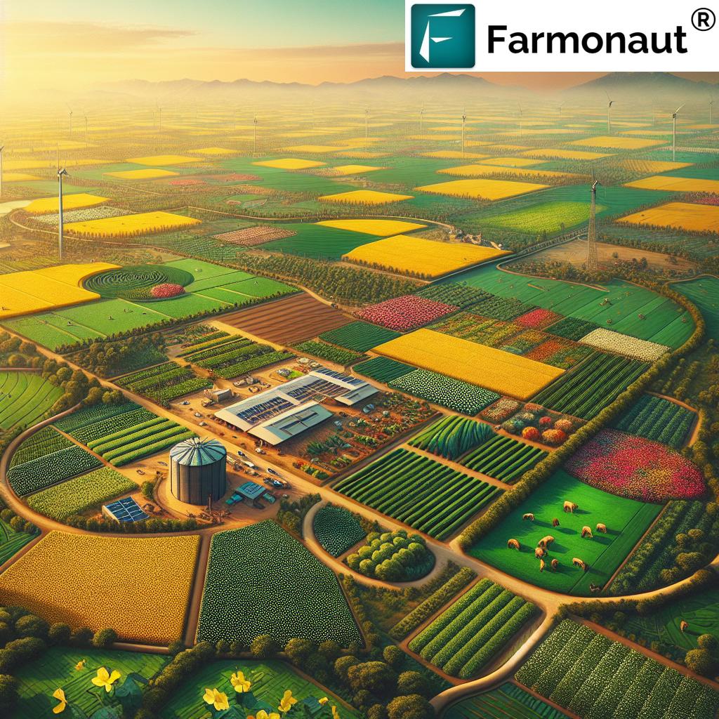
The agricultural landscape of Bangalore is witnessing a transformative shift in 2025. Rapid urbanizing regions, like this Indian technology hub, are at the heart of a new wave in buying land for farming, where AI for land surveying stands out as a pivotal force. As the demand for smarter investments, sustainability, and productivity increases, a confluence of strategic land acquisition and artificial intelligence is shaping the future of farming.
If you are looking to buy farm land in Bangalore, or are keen on modern agricultural practices, understanding how AI technology is revolutionizing surveying and land management is now crucial. Let us explore how these new opportunities, tools, and trends can optimize your land investments, enhance farm productivity, and meet rise in urban demand.
Bangalore Farm Land: Emerging Opportunities & Challenges in 2025
Why is Bangalore’s Farmland in Demand?
- Bangalore, known as India’s “Silicon Valley,” is now a focal point for agricultural investment as well.
- Outskirts and peri-urban zones present new opportunities for acquiring farmland due to increasing urban populations and the trend towards organic fresh produce.
- Proximity to markets means that freshly harvested crops reach urban consumers faster, reducing transportation costs and spoilage.
Emerging Opportunities When You Buy Farm Land in Bangalore
- Growing consumer demand for organic and high-value crops in urban markets.
- Increasing value of sustainable agriculture and eco-friendly products.
- New government initiatives promoting farmland acquisition and modern agricultural practices.
- Access to cutting-edge technology and support from Bengaluru’s tech-driven ecosystem.
Challenges Faced by Prospective Farmland Buyers in Bangalore
- Rapid urbanization leading to shrinking agricultural spaces.
- Rising prices and intense competition for available land.
- Regulatory complexities: Navigating zoning laws, water rights, and environmental clearances.
- Uncertainty around climate patterns and rainfall variability impacting soil suitability and yield.
- Legal complexities regarding ownership rights and clear title documentation.
For those planning to buy farm land in Bangalore, knowledge of these challenges is as important as spotting the right investment opportunities. Buyers must thoroughly understand land suitability—not just soil type, but also microclimatic conditions, drainage, water availability, and future urbanization risks.
Importance of Land Surveying When You Buy Farm Land in Bangalore
Before acquiring any land—especially for farming in Bangalore’s urbanizing regions—it’s imperative to conduct a thorough land survey. Traditional surveying methods, while tried and tested, often rely on manual measurements and outdated maps. This means many crucial details could be missed, such as:
- Real-time soil health status
- Topography and slope patterns
- Irrigation potential & existing water resources
- Pest infestation risk and historical land usage
- Neighborhood urbanization patterns impacting land value
Missing out on these data points significantly increases investment risks and may result in unsustainable practices or unexpected costs. This is why AI for land surveying is rapidly gaining momentum as a smarter way to unlock a property’s true potential.
“By 2025, over 60% of new farmland buyers in Bangalore will use AI technology for smarter investment decisions.”
The Rise of AI for Land Surveying: 2025 Tech Revolution
How Does AI Surveying Work?
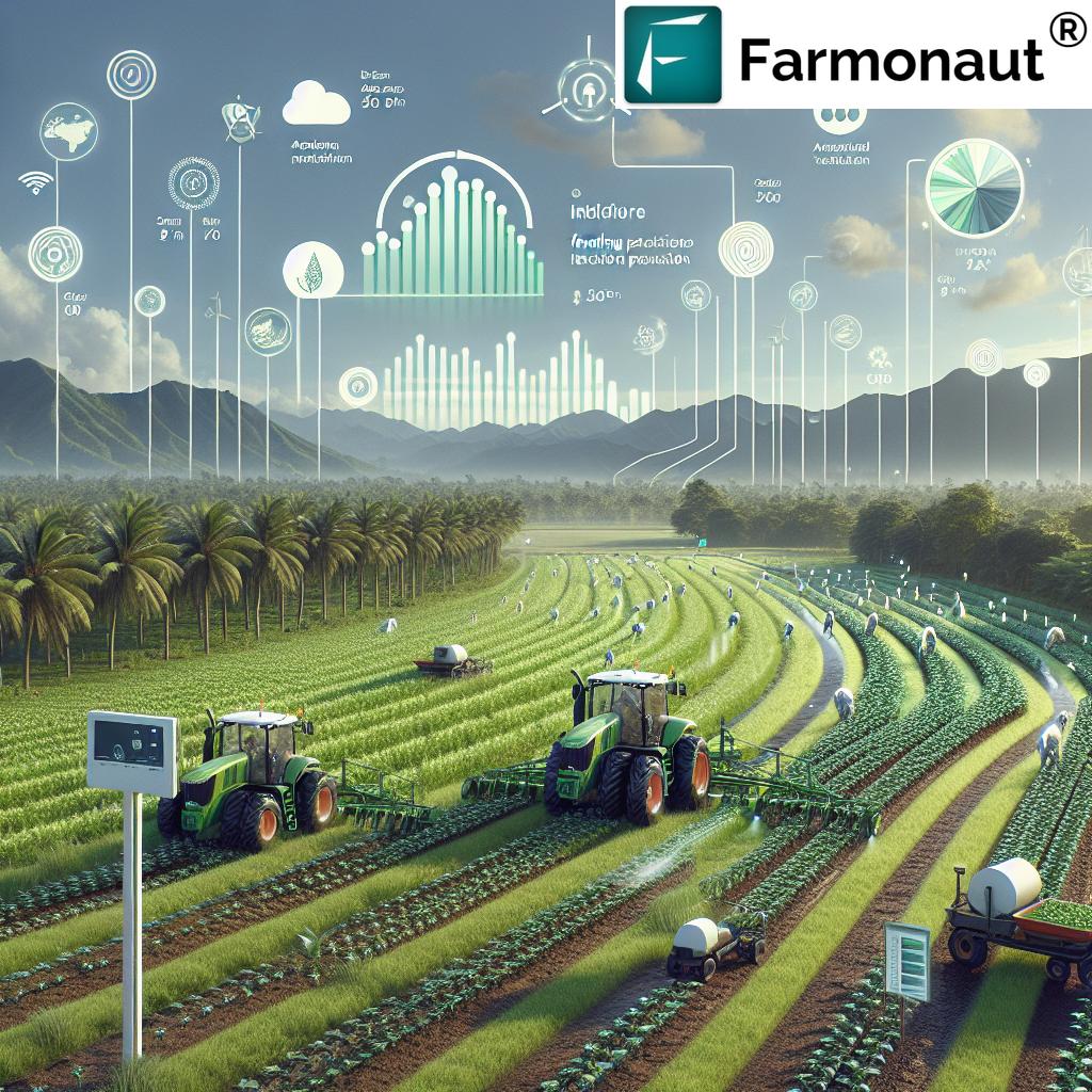
Modern AI-powered surveying employs a blend of satellite imagery, drones equipped with multispectral sensors, and sophisticated machine learning algorithms. Unlike traditional approaches that are slow and prone to human error, AI for land surveying delivers:
- Rapid coverage of large areas—up to 100 acres in a single day in Bangalore.
- Highly accurate readings for soil, topography, vegetation health (NDVI), and water availability.
- Early detection of pests, diseases, and microclimatic risks.
- Predictive analytics for yield forecasting and scenario modeling.
- Comprehensive datasets for compliance, geo-tagged documentation, and boundary recognition.
This technological leap in surveying directly empowers buyers to optimize their decision-making, mitigate risks, and ensure sustainable resource management.
AI for Land Surveying: Features & Advantages
- Comprehensive analysis of all key land attributes—going beyond topsoil and slope, including subsoil, historical vegetation patterns, and climate variability.
- Environmental monitoring to track and minimize adverse impacts on local ecosystems.
- Real-time updates for ongoing farm management and operational decisions.
- Automated compliance through digital record-keeping and boundary marking for legal procedures.
Farmonaut, as a satellite technology company, leverages all these modern surveying approaches for its platform users.
Farmonaut: Providing AI-Powered Solutions for Smarter Farmland Acquisition
At Farmonaut, we empower buyers, farmers, and businesses with advanced satellite and AI-powered tools tailored for agricultural success. Our core mission is to make satellite-driven insights affordable, scalable, and accessible to everyone—from smallholders to large agricultural enterprises and government agencies.
How Do We Enable Smarter Land Surveying and Acquisition?
- Real-time monitoring of crop health, soil conditions, and landscape changes across Bangalore’s outskirts and beyond.
- Jeevn AI Advisory: Our platform’s AI engine delivers up-to-date, data-driven recommendations for crop suitability, farm planning, risk mitigation, and climate resilience.
- Multispectral satellite imagery delivers high-resolution mapping for identifying the right land and optimizing its use in line with latest environmental standards.
- Blockchain-based traceability ensures transparent supply chains and product authenticity, especially crucial for Bangalore’s growing organic market. See how our traceability solution helps improve market trust.
- Environmental impact monitoring, such as carbon footprinting for sustainability, allows buyers and managers to comply with local regulations and conscious consumer trends.
Our Platform: Access & Benefits
- Easy-to-use Android, iOS, and Web Apps for on-the-go farm management.
-
Powerful APIs for developers and businesses to integrate satellite insights for large-scale agricultural management.
Visit our API at: https://sat.farmonaut.com/api and check the API Developer Docs. - Fleet management tools for optimizing agricultural logistics and vehicle usage, available at fleet management.
-
Crop loan and insurance verification tools for secure, satellite-based verification—saving time, reducing fraud, and improving financial access.
Learn more: crop loan and insurance. -
Dedicated modules for plantation and forest advisory: Plan suitable plantations or agroforestry projects in Bangalore’s outskirts with science-backed insights.
Try now: crop plantation/forest advisory.
Farmonaut Tools & Links for Smarter Land Decisions
With our full suite of data-driven applications and advisory modules, Farmonaut ensures that buyers and managers in Bangalore’s farmland ecosystem have everything needed for smart, sustainable, and profitable farming.
- Large-scale farm management: Easily monitor and oversee multiple farm plots with automated data aggregation and reporting. Suitable for both urban and rural large scale farm management.
- Traceability: Comply with customer demands for transparency by providing verifiable supply chain details. Utilize blockchain-based traceability to build market trust.
- Environmental Impact Monitoring: Fulfill sustainability and regulatory requirements with our carbon footprinting tool.
- Resource Optimization: Integrated tools for fleet and equipment monitoring ensure every asset is put to best use.
Traditional Land Surveying vs. AI-Powered Land Surveying for Farmland in Bangalore
| Surveying Method | Estimated Survey Time (acres/day) |
Estimated Accuracy (%) | Cost Range (INR/acre) |
Data Provided | Environmental Impact |
|---|---|---|---|---|---|
| Traditional Survey | 2 acres/day | ~80% | 1,500–3,000 | Basic (boundary, area, surface slope) | Considerable physical disturbance, time, and labor |
| AI-Based Surveying | 20–100 acres/day | ~98% | 1,200–2,500 | Soil quality, slope, water stress, NDVI, pest detection, microclimate, and more | Minimal; satellite and drone-based |
Strategic Farmland Acquisition: AI, Data, and Decision-Making
Combining strategic land acquisition with AI for land surveying sets a new standard for agriculture in Bangalore. Let’s break down the powerful benefits for buyers, farmers, and investors:
- Data-driven selection: Easily identify undervalued or underutilized land with high potential through multi-layered AI analyses. For example, parcels suitable for water conservation or agroforestry in line with environmental practices.
- Optimized resource allocation: Direct capital, labor, and crops where conditions (soil, water, climate) best support high yields and sustainability.
- Minimized legal and environmental risks: Utilize AI-generated, geo-tagged reports for streamlined compliance, legal documentation, and boundary recognition.
- Faster, transparent transactions: Digital surveys enable smoother purchase agreements and reduce dispute incidents.
This integration is increasingly crucial in Bangalore’s rapidly urbanizing zones, where data-supported decisions help you outpace both market and regulatory changes.
AI’s Impact on Productivity & Sustainability in Bangalore
Productivity
- Precision agriculture, fueled by AI, ensures that water, fertilizers, and crop protection products are administered precisely where needed—saving resources and enhancing output.
- Yield forecasting: Satellite data combined with machine learning predicts outcomes for different crop scenarios, reducing guesswork.
- Reduced operational costs: Automation and real-time alerts allow farmers to optimize inputs and minimize waste, directly benefiting the bottom line.
- Technology-driven scalability: With large scale farm management tools, farm businesses can oversee multi-location operations with standardized analytics across estates near Bangalore and beyond.
Sustainability
- Water management and conservation: AI assesses ground and surface water patterns, identifies optimal sites for rainwater harvesting, and reduces wastage.
- Eco-friendly practices: Utilize carbon footprint monitoring to limit environmental impact—meeting growing consumer and regulatory demands.
- Soil health protection: Regular monitoring via satellites detects nutrient depletion, soil compaction, or erosion early.
- Market traceability: Blockchain-based tracking ensures your products reach Bangalore’s discerning organic buyers with full authenticity, supporting premium pricing strategies.
Future Trends: How AI and Smart Purchasing Shape 2025 & Beyond
By 2025 and beyond, the future of buying land for farming in Bangalore, and similar urban-edge regions across India, will be defined by these impactful trends:
- Smarter, data-first decisions: As AI for land surveying becomes mainstream, both first-time and experienced buyers will increasingly rely on satellite-driven tools for every step of the acquisition process.
- Integrated digital marketplaces: Land data and environmental reporting will become part of every legitimate land listing, increasing transparency and reducing risks.
- Wider access to capital and insurance: With satellite and AI-backed verification (see crop loan and insurance solutions), financial products for agriculture will be more accessible, safe, and efficient.
- Sustainable intensification: Land scarcity and climate variability in Bangalore mean every acre must deliver maximum returns with minimum resource use—a challenge only met through smart technology adoption.
- Policy and regulatory transformation: With proven benefits, governments are likely to mandate digital surveys for high-value land or for farms near ecologically sensitive urban zones.
Frequently Asked Questions
1. Why should I use AI-driven land surveying instead of traditional methods when buying farm land in Bangalore?
AI-driven land surveying is faster, more accurate, and covers more environmental aspects, such as soil type, water availability, and microclimatic risks, which traditional methods may overlook. Especially in competitive, rapidly urbanizing regions like Bangalore, AI ensures optimal investment and reduces legal and operational risks.
2. How do AI tools like those from Farmonaut help with sustainable farm management?
Farmonaut’s AI solutions provide real-time monitoring and predictive analytics, enabling smarter input usage, better water management, and quick detection of sustainability risks (pests, carbon output, etc.), meeting both economic and environmental goals.
3. Is Farmonaut a platform for buying and selling farmland?
No, Farmonaut is not a marketplace for buying or selling farmland. We provide advanced satellite- and AI-powered solutions that assist in land surveying, farm management, and sustainability tracking for smarter decision-making.
4. Can banks and insurers trust AI-verified land data for loans in 2025?
Yes, our verified, geotagged land data are widely recognized by financial institutions, helping streamline loan/insurance processes and reduce fraud. Learn more at photo-verified crop loan and insurance.
5. Does the Farmonaut platform support NGOs or public agencies focused on sustainability?
Absolutely! Our modular platform is designed for flexible integration, enabling public agencies and NGOs in Bangalore and across India to deploy satellite- and AI-powered environmental monitoring, carbon accounting, and resource management.
6. Where can I access Farmonaut’s products and services?
Visit our Web App, download on Google Play, or try our iOS App for the full suite of insights.
7. Is there a tool for plantation and forest advisory for Bangalore peri-urban zones?
Yes, our plantation/forest advisory module supports science-driven planning for new farmland purchases and agri-forestry initiatives.
Farmonaut Subscription Plans
Our affordable subscription model is designed to scale for individual buyers, small farmers, large enterprises, and even government bodies. Choose your ideal package and unlock AI-powered land surveying for your next agricultural investment.
Conclusion
In 2025, the future of agriculture in Bangalore and similar urbanizing regions is pivoting on two critical pillars: acquiring the right land and harnessing AI for land surveying and intelligent management. With investment risks rising and sustainability demands mounting, only buyers who leverage technology and make data-driven decisions will thrive.
By using advanced AI-powered tools and platforms (such as those from Farmonaut), not only can you optimize productivity and returns, but you also contribute positively to environmental and community goals. The smart approach—combining strategic land surveying with sustainability by design—will be the hallmark of successful farmland investments in Bangalore for years to come.
Get started now with:
The next decade in agriculture will be shaped by those who embrace technology’s full potential. With AI for land surveying and smart land acquisition principles, maximize the value of your farmland investments—right here in Bangalore, at the heart of India’s tech-driven agricultural transformation.


