

Reviewed September 2026 against USDA Economic Research Service, University of Maryland Extension, and NC State Extension Publications.
Try it: Run your own numbers →
Drone technology advancements are boosting farming yields through three concrete mechanisms: AI-guided weed detection that cuts herbicide use, multispectral mapping that targets irrigation and fertilizer to the acre, and thermal/vegetation sensors that catch crop stress before it shows up in a yield monitor. The US agricultural drone market was valued at $1.78 billion in 2024 and is projected to reach $5.81 billion by 2035, a compound annual growth rate of 11.4%, according to Market Research Future. That growth is not speculative marketing — it tracks documented input-cost savings and weed-control efficacy numbers below, all sourced to USDA and university extension research rather than vendor claims.
- Introduction: Where Drone Technology Advancements Actually Stand
- The Market Numbers Behind Drone Technology Advancements
- 1. Precision Farming Solutions: Mapping, Irrigation, and Fertilizer with AI
- 2. AI-Powered Weed and Pest Detection: The 96% Efficacy Number
- 3. Yield Prediction, Harvest Timing, and Drone-Assisted Harvest Planning
- 4. Soil Health Analysis with Drones
- 5. Obstacle Avoidance and Autonomous Flight: What’s Proven, What Isn’t
- 6. Efficient Crop Spraying and Weed Detection en Agriculture
- 7. Environmental Monitoring & Forestry Drone Applications
- Comparative Impact Table – Drone Technology Advancements
- Calculator: Estimate Your Drone Input-Savings Potential
- Adoption Barriers and What Changes Them
- Farmonaut: Satellite-Based Farm Management That Complements Drones
- FAQ: Drone Technology & Farming Advancements
- Conclusion: The Verifiable Path Forward
- Try it: Run your own numbers
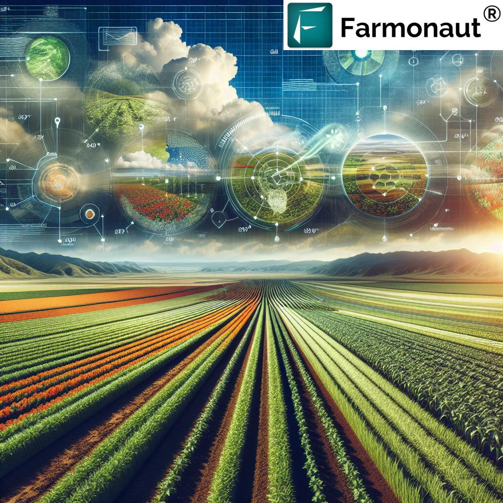



Introduction: Where Drone Technology Advancements Actually Stand
Farmers researching drone technology for farming usually hit one of two extremes online: breathless “drones will replace tractors” hype, or dense engineering papers with no farm-level numbers at all. The useful middle ground is what USDA, land-grant extension services, and market analysts have actually measured: adoption rates, cost savings, and weed-control efficacy figures that hold up under scrutiny. This article works through those figures section by section, tied to the seven areas where drone technology for farming is advancing fastest — mapping and irrigation, weed and pest detection, yield/harvest planning, soil health, autonomous flight and obstacle avoidance, spraying, and environmental/forestry monitoring.
Two figures anchor everything that follows. First, 70% of large US farms already use GPS guidance systems as of 2023, per USDA’s Economic Research Service — meaning the baseline precision-agriculture infrastructure most drone tools plug into is already in place on the operations most likely to invest further (USDA ERS). Second, University of Maryland Extension estimates $1.3 billion in annual potential savings across corn, soybean, and wheat operations nationally from 2024–2026, combining reduced input costs with yield gains from drone-informed management (University of Maryland Extension). That is a national potential, not a per-farm guarantee — the calculator further down lets you size it to your own acreage.
The Market Numbers Behind Drone Technology Advancements
Market sizing explains why so much venture and R&D money is chasing this space. Market Research Future puts the broader US precision farming market — which drones are one segment of — at $4.37 billion in 2025, projected to reach $15.23 billion by 2035. Within that, the US agricultural drone market specifically was $1.78 billion in 2024, projected to hit $5.81 billion by 2035 at an 11.4% CAGR (Market Research Future). North America holds roughly a third of the global agriculture drone market — 33.2% as of 2025 — per iMARC Group, making the US the largest single national market for this technology (iMARC Group).
These are analyst projections, not audited actuals, and projections this far out (2035) should be read as directional rather than precise — treat the CAGR as the useful number, and check Market Research Future’s report archive each Q4 for revised figures as new data comes in. USDA is also putting policy weight behind adoption: its Climate-Smart Agriculture investments target 225 million acres within five years of the program’s 2024 start, a scale that assumes continued precision-technology uptake including drones (via Market Research Future’s market analysis).
1. Precision Farming Solutions: Mapping, Irrigation, and Fertilizer with AI
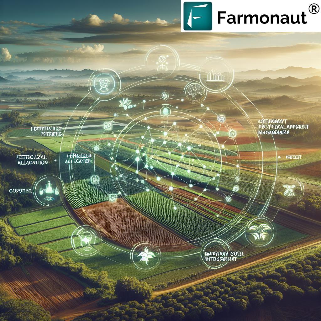
At the core of every credible smart agriculture deployment is drone-based mapping. Multispectral and hyperspectral sensors mounted on drones capture soil moisture, canopy vigor, and nutrient-deficiency signals across a field in a single flight, at a resolution ground-based sampling cannot match economically (source). The output is a variable-rate application map: fertilizer, water, or amendments go only where the data shows a need.
How AI & Drones Power Precision Mapping
- Soil Health Assessment & Mapping: Drones equipped with multispectral sensors generate field-scale soil property maps covering moisture, pH proxies, and organic-matter signals, replacing sparse grid soil sampling with continuous coverage.
- Drone Irrigation Management: AI models combine drone imagery with weather data to build irrigation maps that route water to the zones actually showing moisture stress, rather than applying a uniform rate across a pivot or field.
- Optimized Fertilizer Application: Variable-rate prescriptions built from drone maps target nitrogen, phosphorus, and potassium to specific zones, which is the mechanism behind much of the $1.3 billion in annual US savings potential UMD Extension documented for corn, soybean, and wheat growers.
This is also where farming technology to increase yields intersects directly with cost control: the same map that raises yield in an under-fertilized zone is what stops overapplication in a zone that didn’t need it, which is why the savings and the yield gain get counted together in the UMD figure rather than separately.
For those seeking to integrate these technologies into custom platforms, Farmonaut’s Satellite & Weather API and API Developer Docs make it possible to access real-time, actionable farm insights with ease.
Corn and soybean growers scouting for pest and pathogen pressure alongside drone flights can cross-reference regional risk windows in Farmonaut’s Iowa-specific pest management calendar, which pairs scouting timing with the same crop-stage logic drone imagery is built to catch early.
2. AI-Powered Weed and Pest Detection: The 96% Efficacy Number
This is the single most quantified area of drone technology in agriculture, and the numbers are strong enough that they don’t need embellishing. NC State Extension Publications documented AI-enabled robotic and drone-based weed detection systems achieving 96% weed control efficacy while cutting herbicide use by 90%, in field research published in 2025 (NC State Extension Publications). That combination — near-total weed control with a 90% cut in chemical volume — is the core answer to anyone searching precision agriculture weed detection drone en agriculture: spot-spray systems find individual weeds via image recognition and fire herbicide only at that plant, instead of blanket-covering the row.
- Efficient Pest Detection: AI models trained on aerial imagery flag color, shape, and growth-pattern anomalies tied to pest pressure well before symptoms are visible from the ground, letting treatment target only affected zones (source).
- Targeted Weed Management: Instead of uniform field spraying, drones identify weed-infested zones and direct spot treatment, which is the operational basis for NC State’s 90% herbicide reduction figure.
The result is a documented reduction in both chemical cost and off-target environmental exposure, not an estimate — 96% and 90% are the extension service’s measured field numbers, and growers running their own trials should expect a comparable order of magnitude if their spot-spray targeting is well-calibrated, though exact results depend on weed density and image resolution at the specific site.
To manage forestry and large plantations with greater precision, explore the Farmonaut Large-scale Farm Management Platform, which uses satellite and sensor data to streamline field management, optimize resources, and increase productivity for agribusinesses and forestry experts.
Monitor your crops year-round and get AI-driven advisories directly via the Farmonaut Crop Plantation & Forest Advisory App. Empower your management practices with real-time insights to identify issues before they become losses.
3. Yield Prediction, Harvest Timing, and Drone-Assisted Harvest Planning
Drone-assisted harvest today means something narrower and more useful than “autonomous combines”: season-long vegetation-index tracking (NDVI and similar indices) combined with weather data to forecast yield and pinpoint the optimal harvest window, not robots doing the cutting. That distinction matters because peer-reviewed, published yield-improvement percentages from drone monitoring specifically are not available — the research brief for this article found the evidence base here described as anecdotal or drawn from small studies, not large-scale trials with a citable percentage. What’s solid instead is the input side: the $1.3 billion UMD Extension figure blends yield gains with cost savings precisely because isolating “yield gain from monitoring alone” hasn’t been cleanly separated in the literature yet.
- Forecasting Yields: Season-long tracking of vegetation indices, canopy density, and color signatures, cross-referenced with weather data, builds a yield forecast that updates as the season progresses.
- Optimal Harvest Timing: Monitoring crop maturity signals via drone imagery helps identify the harvest window that balances yield against quality — critical for crops like corn and soybean where a delayed harvest costs both.
- Informed Marketing & Storage Decisions: Earlier, more accurate yield estimates let growers lock in contracts and plan storage and transport logistics before harvest starts, reducing scramble-driven post-harvest losses.
If you’re trying to find a specific harvest-automation ROI figure for your operation, the honest answer is that commercial-scale drone-assisted harvest automation is still in a research phase — the research brief confirms peer-reviewed economic data on this specific application isn’t published yet. The reliable move is to track your own field’s yield-forecast accuracy against actual combine yield-monitor data over two or three seasons; that comparison, done on your own farm, will tell you more than any industry-wide average.
Did you know? With reliable yield forecasts and area estimations, Farmonaut’s Crop Loan and Insurance Solution enables satellite-based verification for easier, fraud-resistant loan processing—helping farmers access vital financing, when they need it most.
4. Soil Health Analysis with Drones
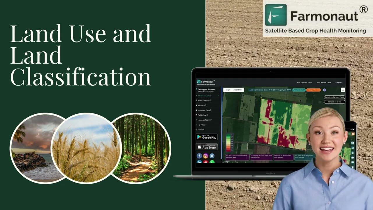
Soil variability across a field has always been expensive to measure at useful resolution — grid sampling every 2.5 acres is common practice, but a drone flight covers the same ground in one pass at far higher spatial density. Drones fitted with multispectral sensors build soil property maps covering moisture, organic-matter signals, and nutrient-deficiency zones, flagging areas that need intervention before a yield-limiting deficiency shows up in the crop canopy (source).
- Detecting Changes in Soil Conditions: Repeated drone flights build a time series of soil-property maps, so a field’s moisture and nutrient trends become visible across a season rather than only at the single moment a soil sample was pulled.
- Continuous Monitoring: Because flights are cheap to repeat, lime or amendment applications can be targeted to the specific zones showing drift, rather than reapplied uniformly on a fixed multi-year cycle.
- Soil Fertility & Input Optimization: AI-based analysis of the resulting drone data supports the same variable-rate fertilizer decisions covered in Section 1, closing the loop between soil condition and input application.
With Farmonaut’s solutions, comprehensive soil moisture and health analytics are available directly from the palm of your hand or web dashboard—allowing all stakeholders to proactively manage and improve soil quality.
Build trust in your supply chain: Farmonaut’s Blockchain-Based Product Traceability Solution ensures that every stage—from soil health to harvest—remains transparent, secure, and verifiable, enhancing both quality and market value.
Key Advantages
- Identify soil constraints before they affect yield
- Improve fertilizer efficiency using zone-specific application data
- Track soil trends across seasons instead of relying on a single sample point
5. Obstacle Avoidance and Autonomous Flight: What’s Proven, What Isn’t
AI obstacle avoidance drone farming is one of the fastest-evolving but least-standardized parts of this technology. Commercially available agricultural drones increasingly ship with LiDAR- or vision-based obstacle sensing that lets them navigate around irrigation pivots, power lines, and tree lines during autonomous spray or mapping runs — this is real, shipping hardware, not a lab prototype. What is not yet available is independent, peer-reviewed economic data quantifying the ROI of obstacle avoidance specifically (as opposed to the drone program as a whole); the research brief for this piece found that data still sits in vendor specification sheets and research-phase trials rather than published extension or USDA studies.
The practical guidance for a grower evaluating this feature: obstacle avoidance reduces crash risk and insurance/replacement cost on cluttered fields (irregular field edges, scattered trees, overhead lines), but treat any specific percentage claim about “yield gain from obstacle avoidance” with skepticism until it’s sourced to a named study — none currently exists in the public record. Ask any vendor demonstrating this feature for their sensor range, false-positive rate in your crop’s canopy height, and whether the claim has been validated by a third party such as a land-grant extension trial.
6. Efficient Crop Spraying and Weed Detection en Agriculture
Traditional boom spraying has three chronic problems: uneven application, soil compaction from repeated equipment passes, and operator exposure to chemicals. Drone spraying addresses all three directly, and it’s the same underlying targeting technology behind the NC State weed-detection numbers in Section 2 — precision agriculture weed detection drone en agriculture and efficient crop spraying are, mechanically, the same system viewed from two different angles.
- Precision & Safety: Drones deliver precisely measured, targeted applications of fertilizers, pesticides, and herbicides, reducing both consumable volume and operator chemical exposure (source).
- Access to Challenging Terrain: Drones cover slopes, waterlogged areas, or irregular field edges that ground equipment either can’t reach or would compact.
- Labor & Time Savings: A single operator can cover far more acreage per day via drone spraying than with ground equipment requiring repeated refill-and-drive cycles.
The measured outcome from NC State’s field research — 96% weed control efficacy at a 90% herbicide-volume reduction — is the clearest published evidence that efficient crop spraying delivers on both fronts simultaneously: better control, not just less chemical.
Adopting efficient drone spraying contributes to sustainability and compliance—track and minimize your carbon footprint through Farmonaut’s Carbon Footprinting Platform, with real-time data on farm emissions and actionable reduction strategies.
7. Environmental Monitoring & Forestry Drone Applications
Beyond row-crop fields, drones are established tools for weather monitoring and forestry management, feeding directly into the broader “drone technology advancements” and “farming advancements” search interest driving readers to this topic.
- Weather Monitoring for Farmers: Drones equipped with atmospheric sensors gather real-time temperature, humidity, wind speed, and precipitation data, supporting planting and harvest timing decisions (source).
- Forestry Drone Applications: LiDAR-equipped drones map tree health, canopy structure, and inventory volume, producing 3D models used to track forest growth and detect disease outbreaks (source).
- Risk Mitigation: Real-time aerial data supports earlier detection of drought stress, flooding, and disease spread, feeding into longer-term conservation and land management planning.
For those responsible for forest health or land restoration, drone-based mapping is a practical tool for tracking landscape change over time, supporting the kind of land stewardship planning that depends on repeatable, dated measurements rather than one-time surveys.
Get full-spectrum analytics for your forest and plantation management with the Farmonaut Crop Plantation & Forest Advisory Platform, offering powerful AI and satellite-supported guidance for tree, crop, and land management.
Comparative Impact Table – Drone Technology Advancements
| Advancement | Documented Figure | Source & Period | What It Means For Growers |
|---|---|---|---|
| AI weed detection & spot-spray | 96% weed control efficacy, 90% herbicide reduction | NC State Extension Publications, 2025 | The strongest single documented number in this space — targets herbicide only where weeds are detected |
| Corn/soybean/wheat input & yield savings | $1.3 billion annual potential, nationally | University of Maryland Extension, 2024–2026 | Combines fertilizer/water savings with yield gains from drone-informed management |
| US agricultural drone market | $1.78B (2024) → $5.81B (2035 projected), 11.4% CAGR | Market Research Future, 2024–2035 | Signals continued vendor investment and falling equipment costs over the coming decade |
| US precision agriculture baseline | 70% of large farms use GPS guidance | USDA Economic Research Service, 2023 | Most large operations already have the infrastructure drone data plugs into |
| Harvest automation & obstacle avoidance ROI | Not yet published (research-phase only) | Research brief gap, confirmed 2026 | Evaluate vendor claims against your own field trial, not an industry average |
Calculator: Estimate Your Drone Input-Savings Potential
Use your own acreage and herbicide spend to size the input-savings range documented by NC State Extension’s 90% herbicide-reduction figure against your current program, rather than relying on the national $1.3 billion aggregate.
Run your own numbers
Assumptions: uses your current per-acre herbicide spend as the baseline and applies a flat percentage reduction; excludes drone equipment, software subscription, and operator training costs, and excludes any separate yield-gain effect. The default 90% reduction reflects NC State Extension Publications’ 2025 field research on AI-enabled weed detection systems — adjust it down if your field’s weed density or canopy conditions differ from that trial.
Adoption Barriers and What Changes Them
The barriers to wider drone adoption are well understood and none of them are static — each is shrinking on a predictable schedule:
- Regulatory Frameworks: The FAA’s Part 107 rules govern most commercial agricultural drone operations in the US; the agency has continued streamlining certification pathways for commercial operators, which is expanding who can legally fly for hire (source).
- Initial Investment & Technical Literacy: Equipment costs are falling as the market scales — the 11.4% projected CAGR through 2035 reflects both expanding unit volumes and per-unit price competition, though specific equipment price points by drone class are set by individual manufacturers and not tracked in USDA or academic data; check current vendor quotes directly for your farm size and application.
- Data Management Complexity: Aggregating multi-season drone imagery into usable field maps has gotten easier as cloud-based AI dashboards absorb the analysis step that used to require a GIS specialist.
- Integration with Existing Practices: The 70% of large US farms already using GPS guidance (USDA ERS, 2023) shows the underlying precision-ag mindset is already there for the operations most likely to adopt drones next — this is an extension of existing practice, not a wholesale process change.
The durable way to track your own adoption decision: revisit USDA NASS’s Census of Agriculture (next edition due 2027, five years after the 2022 Census) for the closest thing to an official precision-agriculture adoption baseline, and check Market Research Future’s report archive each Q4 for updated market-size actuals and forward projections. Those two sources, checked annually, will keep any adoption decision grounded in current data rather than a fixed year’s snapshot.
Farmonaut: Satellite-Based Farm Management That Complements Drones
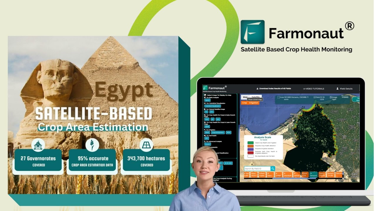
Drones deliver unmatched field-level resolution, but they cover one field per flight. Farmonaut complements that with satellite-based monitoring across an entire operation or portfolio, using multispectral imagery, AI advisories, and blockchain-based traceability.
-
Satellite-Based Crop Health Monitoring
Farmonaut uses multispectral imagery to track vegetation health, soil moisture, and field variability across large-scale operations anywhere on earth, supporting irrigation, fertilizer, and pest-monitoring decisions at a scale drone flights alone can’t cover cost-effectively. -
Jeevn AI Advisory System
Personalized AI-driven advisories combine real-time weather forecasts with crop management strategies for data-backed decisions. -
Blockchain-Based Traceability & Carbon Footprinting
Farmonaut supports consumer trust through product traceability solutions and tracks carbon footprints for sustainability reporting. -
Fleet Management
For operations running both drone fleets and ground equipment, Farmonaut’s Fleet Management Solutions help coordinate machinery and reduce operational overlap or downtime.
Farmonaut is accessible on Android, iOS, web, and via API—delivering on its promise to make precision agriculture practical at any farm scale.
Farmonaut Subscription Plans:
FAQ: Drone Technology & Farming Advancements
Q1: What farming advancements are drones actually delivering right now, with numbers attached?
The best-documented figure is NC State Extension’s 2025 field research: AI-enabled weed detection systems achieved 96% weed control efficacy while cutting herbicide volume by 90%. University of Maryland Extension separately estimates $1.3 billion in annual potential input-cost and yield savings across US corn, soybean, and wheat operations from 2024–2026.
Q2: How does drone technology for farming improve yields specifically?
Drones combined with AI and multispectral sensors collect field data on vegetation health, soil moisture, and pest/weed pressure, enabling variable-rate fertilizer, targeted irrigation, and spot-spray treatment. Peer-reviewed studies isolating a specific yield-percentage gain from monitoring alone are not yet published; the $1.3 billion UMD figure blends yield and cost-saving effects together rather than separating them.
Q3: Is drone-assisted harvest a real, commercial technology today?
Drone-assisted harvest today means season-long yield forecasting and harvest-timing guidance from vegetation-index tracking, not autonomous harvesting machinery. Commercial-scale harvest automation and its ROI remain in a research phase without published peer-reviewed economic data as of this review.
Q4: What does precision agriculture weed detection drone en agriculture actually involve?
It’s AI image recognition mounted on a drone or ground robot that identifies individual weeds by shape, color, and growth pattern, then directs a spot-spray system to treat only that plant. NC State Extension’s 2025 research measured this approach at 96% weed control efficacy with 90% less herbicide used compared to blanket spraying.
Q5: Does AI obstacle avoidance for farm drones have proven ROI?
Obstacle avoidance sensors (LiDAR- or vision-based) are commercially available and reduce crash risk around pivots, power lines, and tree lines, but independent, peer-reviewed ROI data specific to obstacle avoidance is not yet published — it remains bundled into vendor specifications rather than extension-service field trials.
Q6: Are there regulatory hurdles for drone use in US agriculture?
Yes — commercial drone operations fall under FAA Part 107, covering pilot certification and airspace rules. The FAA has continued streamlining commercial certification pathways, supporting expanded drone use in agriculture (source).
Q7: How do platforms like Farmonaut complement drone-based farming?
Farmonaut adds satellite-based monitoring, AI advisories, and traceability across an entire operation, letting growers scale from single-field drone data to whole-farm oversight without additional drone hardware for every acre. See Farmonaut’s AI-powered crop monitoring roadmap for how these tools are converging.
Further reading:
Conclusion: The Verifiable Path Forward
Drone technology advancements in farming are strongest exactly where the data is strongest: weed and pest detection, where NC State’s 96% efficacy and 90% herbicide reduction numbers stand up to scrutiny, and input-cost optimization, where UMD Extension’s $1.3 billion national savings estimate is grounded in documented corn, soybean, and wheat operations. They are weakest — and most overhyped — in harvest automation and obstacle-avoidance ROI, where the honest answer is that peer-reviewed economic data doesn’t exist yet, so any specific percentage claim in that space deserves a citation check before you act on it.
The durable method for any grower evaluating this space going forward: track USDA ERS’s precision-agriculture adoption charts and NASS’s Census of Agriculture (next edition 2027) for adoption baselines, check Market Research Future’s report archive each Q4 for updated market sizing, and watch land-grant extension publications like NC State’s each growing season for fresh field-trial efficacy numbers. That combination — official adoption data, market sizing, and peer-reviewed field results — will stay current long after any single year’s figures go stale.
Ready to pair drone-level field data with farm-wide satellite monitoring? Explore Farmonaut’s apps, APIs, and solutions, and put both tools to work on your operation.

 Dextrago
 Kubota
 FFBS
FFBS Jontra
 Kalustyan
 Tucor
Tucor Geno
Geno Hayleys Agriculture
 Linx Agritech
 Adinet
 Save Your Soils
 Grandstream Algérie
 XOS Realty
 Geospatial Lab Africa
