How Farmers Use Geographic Tools in Precision Farming: Optimize Yields & Reduce Costs in 2025
How are farmers using geographic tools to practice precision farming? This question lies at the heart of a digital transformation sweeping the agriculture sector. In recent years, farmers have increasingly adapted data-driven practices, leveraging advanced geographic tools such as GIS (Geographic Information System), GPS (Global Positioning System), remote sensing, and the Internet of Things (IoT) to enhance crop yield, reduce costs, and drive sustainability. As we approach 2025, these technologies are rapidly becoming essential for modern, efficient, and environmentally responsible agriculture.
Precision Farming Essentials: A Modern Agricultural Concept
Precision farming, also called precision agriculture, is a transformative concept that leverages detailed data and advanced technologies to observe, measure, and respond to variability within fields. This approach recognizes that not all crops, soil types, or zones within a farm are the same. By using a combination of geographic tools and platforms, farmers gain a comprehensive understanding of their land, allowing for the precise application of fertilizers, pesticides, and water.
- Data layering from technologies like GIS enables detailed maps of soil moisture levels, nutrient content, and pest risks.
- Remote sensing through drones and satellites provides up-to-date imagery to monitor crop health, identify deficiencies, and rapidly detect pest infestations.
- GPS-guided machinery ensures tractors, seeders, and sprayers follow optimal, overlap-free paths for increased efficiency and reduced waste.
- IoT sensors gather real-time data on soil and environmental conditions, informing irrigation and resource planning.
How Are Farmers Using Geographic Tools to Practice Precision Farming?
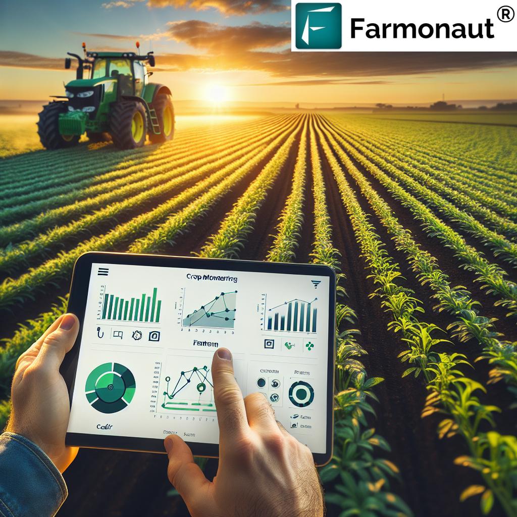
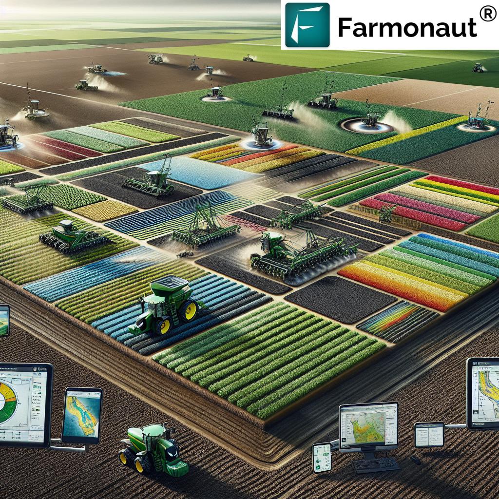
The question “how are farmers using geographic tools to practice precision farming?” is best answered by exploring the interconnected roles of GIS, GPS, IoT, and remote sensing in modern agriculture. Today’s farmers are not just cultivators – they are data managers and technology adopters.
- Geographic Information System (GIS) allows mapping and analyzing spatial variability in soil fertility, moisture, and other field conditions.
Example: By layering soil type, moisture, and crop health data, a farmer can identify specific zones that require different inputs. - Global Positioning System (GPS) aids automated field operations with high accuracy, reducing overlap, minimizing gaps, and saving fuel and resources.
- Remote Sensing via drones and satellites helps detect crop issues early, such as pest infestations, disease outbreaks, or nutrient deficiencies, using multispectral images.
- Internet of Things (IoT) sensors in the field monitor soil moisture, temperature, and weather to enable precision irrigation and smarter input application.
By combining these tools, farmers can deploy a wide spectrum of precision agriculture practices for improved productivity, cost efficiency, and sustainability.
GIS Mapping: The Center of Data-Driven Farming
GIS (Geographic Information System) mapping stands as the central pillar of precision farming. It enables farmers to create detailed maps that capture spatial variability across their fields. These maps may include layers for:
- Soil types and textures
- Moisture levels and water retention zones
- Nutrient content and distribution
- Topographical features impacting erosion or drainage
- Historical yield and input application data
By analyzing this spatial information, farmers can identify zones that need specific inputs—enabling precise application of fertilizers and irrigation, which minimizes environmental impact and waste.
Modern GIS platforms are now cloud-based and support real-time updates, providing a holistic view of the field and making data-driven decisions seamless. For example, with tools like Farmonaut Large Scale Farm Management, organizations and individual users can manage vast acreage efficiently, boost yields, and lower input costs.
GPS in Precision Farming: Accurate Field Mapping & Machinery
GPS (Global Positioning System) has become integral to everyday precision farming. Its applications include:
- Field boundary mapping for precise land allocation
- Guidance of tractors, seeders, and sprayers—ensuring operations follow optimized paths that reduce overlap and eliminate gaps
- Automated steering systems for more efficient and accurate input application
- Navigation for unmanned machinery and emerging autonomous equipment
The result? GPS technology reduces waste, increases efficiency, and boosts overall productivity. Modern equipment may be equipped with sophisticated GPS receivers and guidance systems to allow for precision farming at scale.
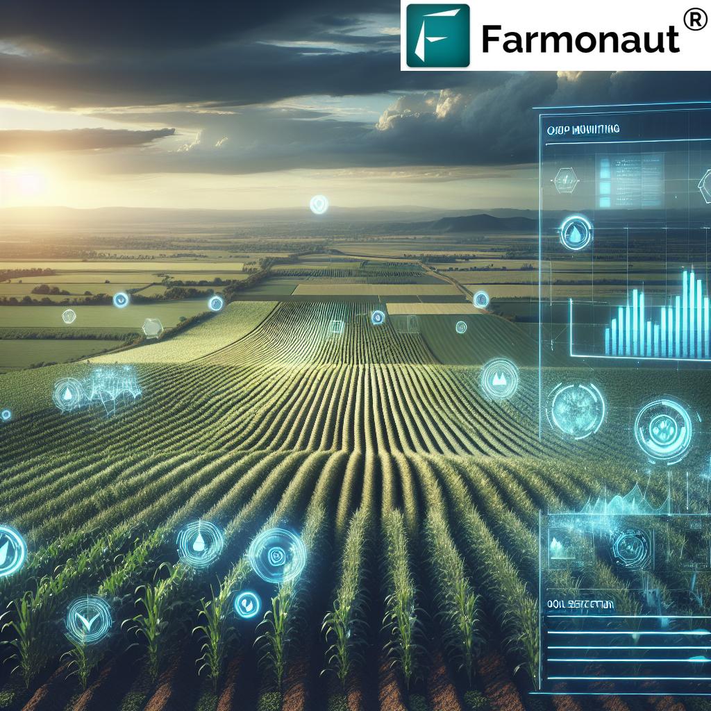
Remote Sensing: Drone and Satellite Advancements
Remote sensing employs drones and satellites to constantly monitor and analyze crop fields from above. This technology provides:
- Multispectral imagery to assess crop health indices such as NDVI (Normalized Difference Vegetation Index)
- Identification of nutrient deficiencies, water stress, and early pest damage
- Monitoring of environmental conditions and soil moisture levels throughout the growing season
- Rapid detection of emerging problems for timely intervention
- Support for prescription mapping and variable rate application
With real-time remote sensing, farmers can continuously monitor large areas, identifying issues at their earliest stages.
On platforms such as Farmonaut’s Crop Health Monitoring, users access historical and up-to-date satellite images to easily visualize crop stress zones and take action to reduce losses and optimize inputs.
Impact of Geographic Tools on Precision Farming Outcomes
The following table provides a comparative overview of the most significant geographic tools in precision agriculture, including their main functions, estimated impacts, and example use cases.
Variable Rate Technology (VRT): Applying Inputs Precisely
Variable Rate Technology (VRT) is a prominent precision agriculture practice that utilizes geographic data to determine where, what, and how much to apply across fields. Rather than uniform blanket application, VRT employs:
- Prescription maps generated with GIS data, guiding machinery to disperse inputs like seeds, fertilizers, and pesticides variably across specific zones
- Field sensors and remote sensing data to monitor nutrient conditions and dynamically adjust application rates
- Automated system controls that ensure the correct dosage is delivered to each area
The result: Enhanced productivity, lower input costs, and minimized impact on the environment. This technology relies on georeferenced field information—making GIS, GPS, and IoT central to its real-world success.
Precision Farming Using IoT: Real-Time Insights for Sustainable Decisions
The Internet of Things (IoT) is dramatically advancing precision agriculture by equipping fields with smart sensors, connectivity, and cloud-based analysis. These IoT systems:
- Continuously monitor soil moisture, nutrient levels, temperature, and other environmental variables
- Enable automated irrigation and input dispersal based on real-time thresholds
- Provide predictive analytics leveraging historical field data and current sensor readings
- Integrate seamlessly with GIS/GPS for spatially-precise management
As a result, precision farming using IoT tools boosts efficiency, reduces water waste, and enables targeted management even in very large or remote operations.
For developers and agribusinesses, comprehensive API access—like the Farmonaut API and its developer documentation—enable effortless integration of satellite-based crop data with IoT and farm management systems.


Farmonaut: Empowering Precision Farming Worldwide
At Farmonaut, we are committed to making precision agriculture affordable and accessible, unlocking the true potential of data, GIS, GPS, IoT, and satellite technology for farmers everywhere. Our platform provides:
- Satellite-based crop health monitoring—access near-infrared, thermal, and multispectral images for NDVI, soil moisture, and more
- AI-driven farm advisory (Jeevn AI)—personalized, real-time recommendations based on integrated field and weather data
- Blockchain-based product traceability for transparent, fraud-free supply chains
- Fleet and resource management—enhance operational efficiency and reduce costs by optimizing vehicle and machinery use
- Tools to support crop loan and insurance approval via satellite farm verification
- Carbon footprinting for measuring and reducing emissions, supporting sustainable practices
Our technology is available through Android, iOS, and web/browser apps, as well as rich API integration options—making farm management comprehensive, precise, and globally scalable for every sector: from smallholders to large enterprises and government agencies.
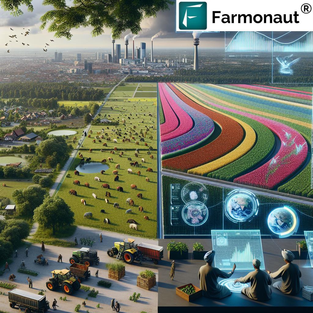
Geographic Farming Real Estate: Smart Land Investment & Management
Geographic tools are not just for managing existing farms. In geographic farming real estate, these technologies enable investors, real estate professionals, and farmers to make strategic land acquisition decisions. This is accomplished by:
- Analyzing spatial data on soil quality, water availability, land use patterns, and topography.
- Identifying high-potential parcels of land for cultivation, future development, or conservation efforts
- Evaluating risk from drought zones, flood zones, or other environmental hazards
This precise targeting not only guides investment, but also promotes sustainable land management and supports long-term agricultural productivity. For large farm businesses, Farmonaut’s Large Scale Farm Management solution can be leveraged to analyze and oversee multiple fields, assets, and landholdings in a single, intuitive dashboard.
Farmonaut Use Cases: Platform Benefits & Solutions
Farmonaut offers a suite of solutions tailored to modern precision farming and management needs:
- Real-time crop health monitoring: Receive automated alerts on satellite-detected stress or anomalies in the field, enabling immediate response and better resource allocation.
- AI-based Jeevn advisory: Access customized suggestions for every growth stage based on up-to-date meteorological and remote sensing data—improve decisions, maximize growth, and reduce uncertainty.
-
Fleet management tools
: Monitor machinery, optimize vehicle deployment, reduce idle time, and maximize fuel efficiency for significant cost savings. -
Crop loan and insurance verification
: Leverage satellite imagery for quick, accurate farmland verification, expediting financial services and minimizing fraud risk. - Carbon footprint tracking: Measure emissions, monitor sustainability performance, and take concrete steps on environmental compliance.
- Blockchain-based traceability: Secure transparency in agricultural supply chains, guarantee product authenticity, and build consumer trust.
Our platform’s modular design ensures scalability—whether for an individual farmer or a multinational agribusiness, you can choose and upgrade functionalities as your needs expand.
Easily access Farmonaut solutions by downloading our Android App, iOS App, or using our Web Browser App.
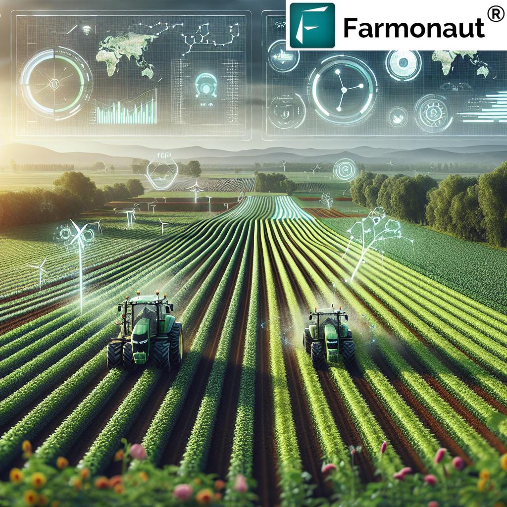
The Future of Geographic Tools in Precision Farming: 2025 and Beyond
The next era of precision agriculture will see further convergence of AI, machine learning, and geographic data platforms. Expect automated, predictive decision-making fueled by a constant feedback loop from IoT sensors, satellites, and field robotics. Some anticipated advancements include:
- Expanded use of blockchain for traceability and supply chain assurance
- Finer-resolution satellite imagery (approaching real-time, even for smallholder fields)
- Greater deployment of autonomous machinery and robotic field operations
- Integration of weather prediction models with field operations for fully dynamic input scheduling
- Proven impact on carbon footprinting and measurable environmental improvement, as platforms like Farmonaut’s Carbon Footprinting tools become part of daily farm management.
As these technologies become more prevalent, farmers who adopt geographic tools early will be best positioned to optimize costs, maximize yields, and meet new demands for traceable, sustainable food production.
FAQ: Geographic Tools & Precision Farming
What are the main tools used in precision farming?
The key tools used in precision farming are GIS for spatial analysis, GPS for guidance and mapping, remote sensing (drones/satellites) for monitoring crops, and IoT sensors for real-time soil and environmental data.
How does GIS improve yield and resource efficiency?
GIS layers different data types, allowing farmers to target the specific needs of each field zone—resulting in optimized input application (fertilizer, pesticide, water) and up to 20% better yield prediction accuracy.
How are IoT sensors used in precision agriculture?
IoT sensors continuously monitor soil moisture, temperature, and other field metrics, triggering automated irrigation or input systems. This helps to conserve resources and maintain optimal growing conditions.
What is geographic farming real estate?
Geographic farming real estate refers to using spatial data (soil type, water availability, topography) to identify and invest in the most productive or sustainable parcels of agricultural land.
What are the benefits of Farmonaut’s satellite-based solutions?
Farmonaut’s platform provides affordable, real-time crop monitoring, AI advisory, traceability via blockchain, carbon footprint tracking, and easy integration through apps and APIs—empowering farmers and agribusinesses to maximize yields, sustainability, and profits globally.
Conclusion: Agriculture’s Data-Driven Revolution
The synergy between geographic tools and precision farming is revolutionizing agriculture as we move into 2025 and beyond. With GIS, GPS, remote sensing, and IoT at the helm, farmers can now achieve data-driven, precise field management. This approach not only increases yield and reduces input costs, but also fundamentally lowers environmental impact—ensuring the planet’s resources are protected for future generations.
At Farmonaut, we’re pioneering the use of satellite analytics, AI, and blockchain to advance precision agriculture for all. Our commitment is to democratize the benefits of data-driven solutions—supporting sustainable production, transparent supply chains, and greater opportunity for every farmer worldwide.