Tools for Agricultural Activity Assessment and Analysis: Advancing Precision, Sustainability, and Productivity in Farming
“Over 70% of modern farms use remote sensing tools for real-time crop monitoring and soil analysis worldwide.”
- Introduction
- Why Agricultural Activity Assessment Matters
- Soil and Water Assessment Tools
- Decision Support Systems for Agrotechnology Transfer
- Remote Sensing and GIS in Agriculture
- Precision Agriculture Tools and Technologies
- BioMA Framework: Modeling for Impact Assessment
- Agri Toolkit: Sustainability Assessment in Practice
- Environmental Monitoring Systems in Farming
- Soil Testing Instruments & Field Analysis
- Autonomous Soil Sampling and Mapping
- Comparison Table: Precision Agriculture Tools
- Farmonaut’s Satellite-Driven Agricultural Solutions
- Frequently Asked Questions (FAQ)
- Conclusion
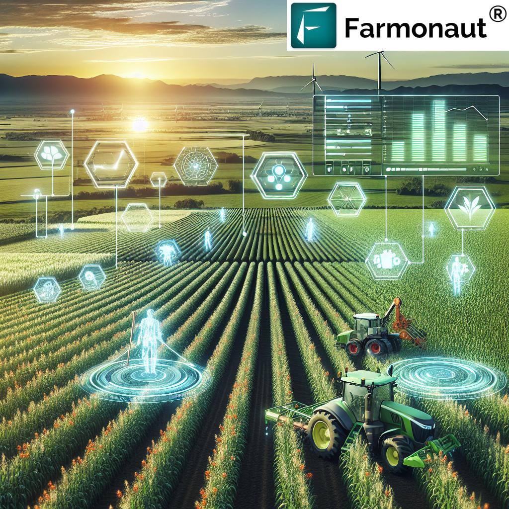
Introduction: Reimagining Agricultural Assessment with Technology
Modern agriculture is evolving rapidly, driven by the necessity to optimize resource use, increase crop productivity, and ensure sustainability on every field. Today, assessing and analyzing agricultural activities demands more than intuition—it requires accurate data, precision instruments, robust software, and real-time insights.
The fusion of soil and water assessment tools, remote sensing in agriculture, crop monitoring systems, and advanced precision agriculture technology empowers farmers, agribusinesses, and land managers to make scientific, data-supported decisions. Simultaneously, growing environmental concerns and the pressures of climate change demand holistic environmental monitoring in farming and sustainable land management practices.
This comprehensive guide explores the core systems and tools shaping the next generation of agricultural assessment and analysis, outlining their benefits, integrations, and examples of use. Let’s embark on this journey into the cutting-edge world of agri-tech innovation!


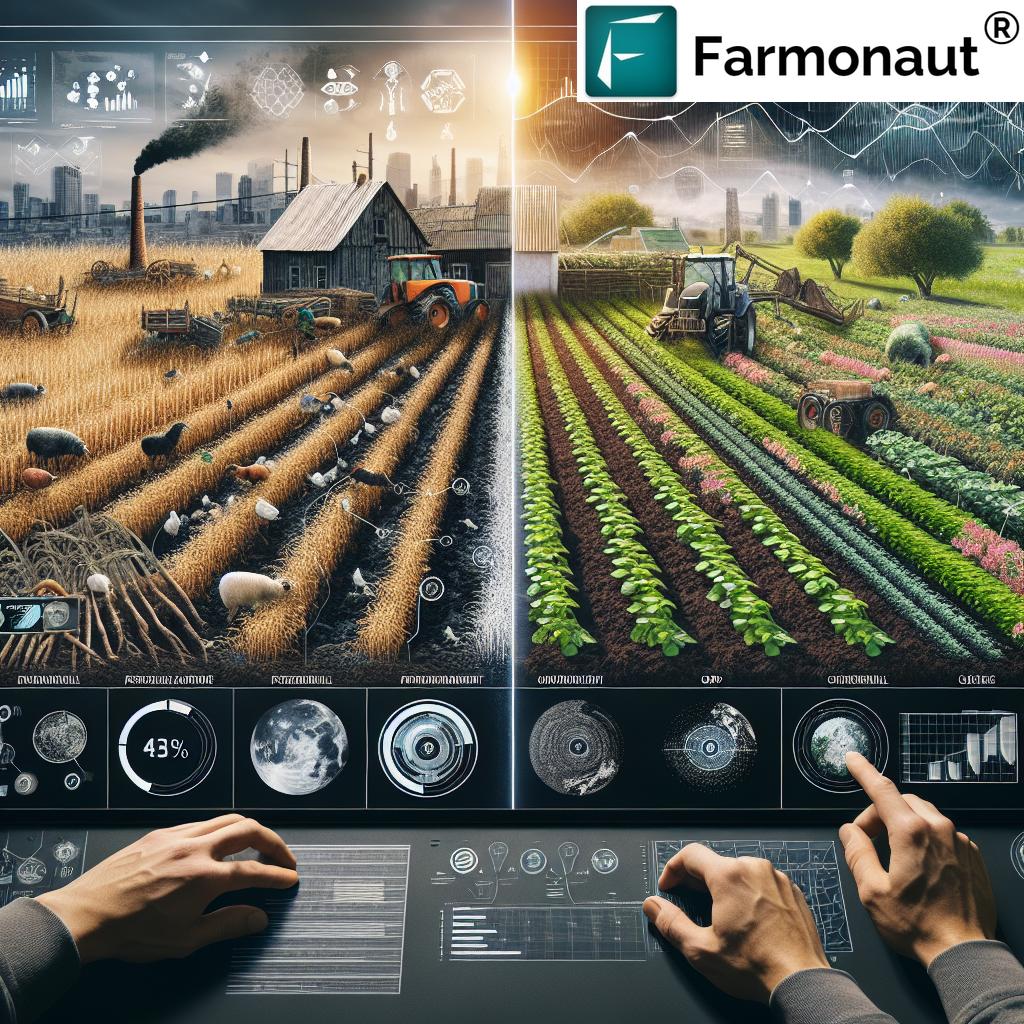
Why Agricultural Activity Assessment and Analysis Matter
Assessment and analysis of farm activities offer transformative advantages:
- Informed Decision-Making: Real-time crop and field data enables smarter fertilizer application, precise irrigation, and enhanced nutrient management.
- Sustainability: With reliable assessments and monitoring systems, we ensure long-term soil health, optimize water use, and minimize environmental impacts.
- Climate Adaptation: Advanced modeling and decision support systems help us strategize for variable weather, extreme events, and changing climate conditions.
- Productivity: By analyzing yield, growth, and resource use, farmers maximize production and minimize waste.
- Transparency: Modern agri-tech solutions integrate traceability, ensuring supply chain honesty for consumers and businesses alike.
Whether you’re a smallholder, agribusiness, policymaker, or agri-researcher, the right tools dramatically enhance productivity, profitability, and environmental responsibility.
Now, let’s deep-dive into each powerful category of tools for agricultural activity assessment and analysis.
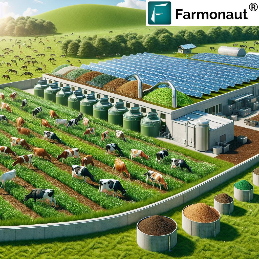
Soil and Water Assessment Tools: Building the Foundation for Sustainable Agriculture
At the heart of any farming operation lies the soil and water resource base. Effective management of their quality and quantity is the foundation of resilient agriculture. That’s why soil and water assessment tools like SWAT (Soil and Water Assessment Tool) are so crucial.
The SWAT Model: How It Works
The SWAT Model is an advanced, open-source hydrological model used worldwide for simulating soil, water, nutrient, and crop management processes at the basin scale. It operates on a daily time-step, enabling detailed analysis of:
- Weather effects on crop growth and runoff
- Surface water quantity and quality
- Nutrient loading and soil erosion
- Scenario assessment for crop rotations, irrigation, fertilizer application, and land management changes
By integrating remote sensing in agriculture, SWAT enhances the spatial mapping and analysis of resource status, making it an essential component of precision agriculture technology.
Key Benefits of Soil and Water Assessment Tools
- Optimize irrigation schedules and water use with weather and moisture data
- Assess the impact of land management practices on water quality and soil health
- Enable simulating long-term effects of different farming strategies
- Support environmental policy planning and compliance reporting
For in-field and basin-wide analyses alike, these tools put farmers and researchers in control of their environmental monitoring in farming.
Decision Support Systems for Agrotechnology Transfer (DSSAT): Data-Driven Farm Management
In today’s dynamic world, it’s no longer enough to rely solely on personal experience or anecdotal evidence. Decision support systems empower farmers with science-based, quantitative analysis for crop management, especially under the stress of climate change.
The DSSAT suite is an internationally renowned software platform that simulates crop growth, soil conditions, and management practices using modular, scenario-based modeling.
Core Components of DSSAT
- Input Parameters: Weather data, soil properties, crop cultivars, irrigation, and fertilizer regimes
- Process Simulations: Evapotranspiration, nutrient cycling, biomass accumulation, growth, yield
- Results & Analysis: Evaluate scenarios, optimize management techniques, assess potential risks due to climate and environmental change
These agricultural decision support systems bring a new level of rigor to farm planning, resource allocation, and sustainability assessment.
Key Advantages of DSSAT
- Simulate potential impacts of climate change on crop production
- Test and compare effectiveness of various farming methods rapidly
- Reduce risk by analyzing multiple management scenarios
- Inform policy, research, and extension services on a regional scale

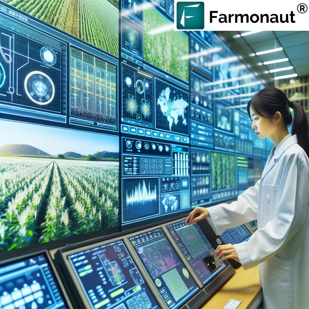
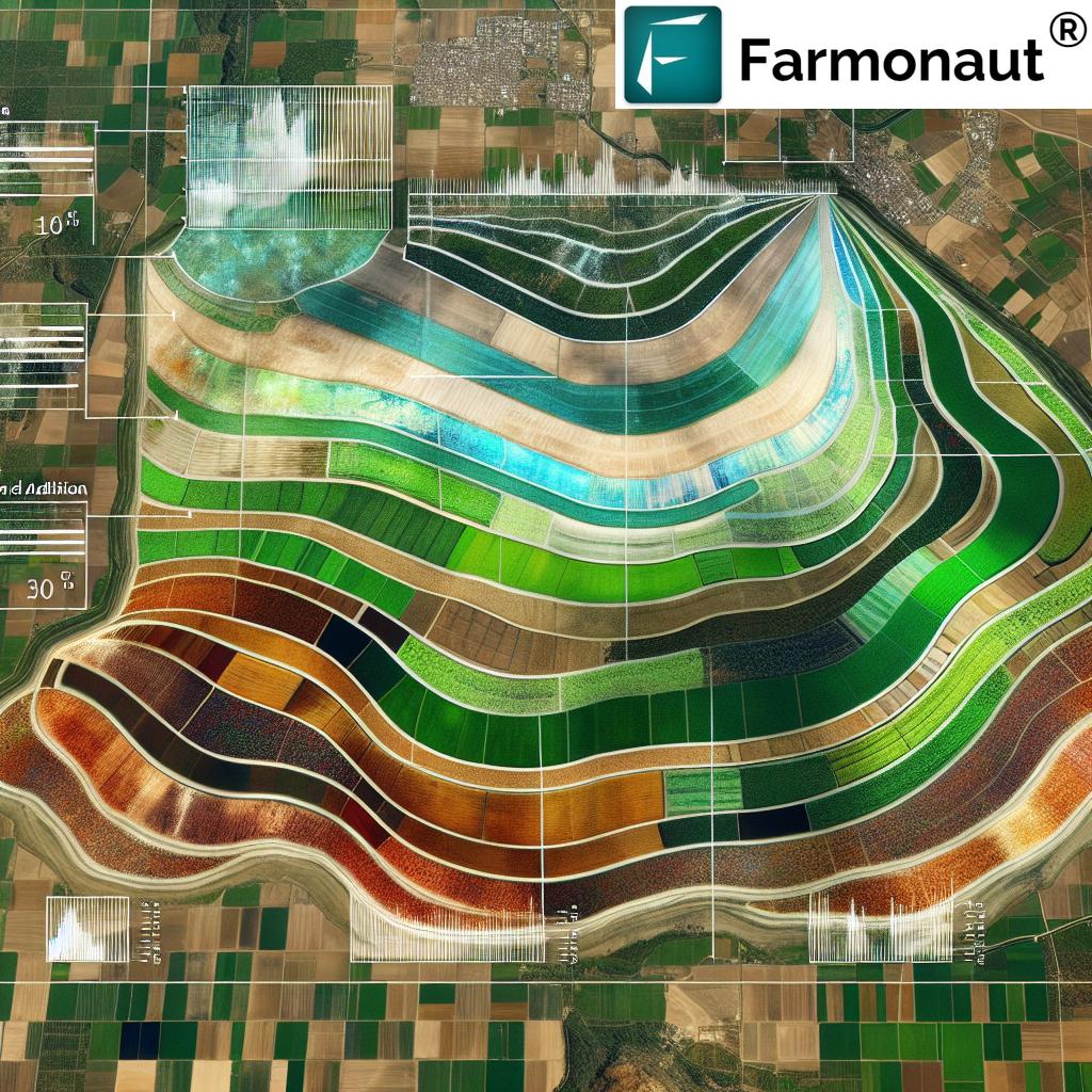
Remote Sensing in Agriculture and GIS: The Eyes in the Sky
Remote sensing has revolutionized agricultural activity assessment and analysis, making large-scale crop monitoring, soil mapping, and land evaluation more precise and cost-effective. By integrating these powerful data streams with Geographic Information Systems (GIS), we gain a multidimensional view of agricultural landscape health, performance, and potential risks.
Platforms like TerrSet bring together spatial analysis, change detection, land cover modeling, and habitat mapping. From field-level assessments to regional planning, the combination of satellite, drone, and geospatial data fuels every aspect of data-driven, sustainable land management practices.
Key Functions of Remote Sensing in Agricultural Assessment
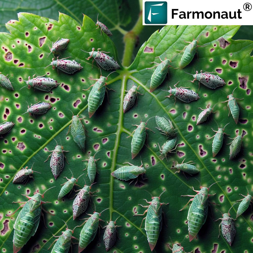
- Crop Health Monitoring: Use NDVI and other vegetation indices for early stress detection, disease, and nutrient status.
- Soil Property Mapping: Analyze soil texture, moisture, and organic matter through multispectral imagery.
- Change Detection: Map historic land use changes, forest clearing, and track compliance with sustainable practices.
- Environmental Monitoring: Assess impact of flooding, erosion, droughts, and plan effective responses.
Remote sensing is now core to precision agriculture technology—placing actionable intelligence directly into the hands of farmers and land managers.
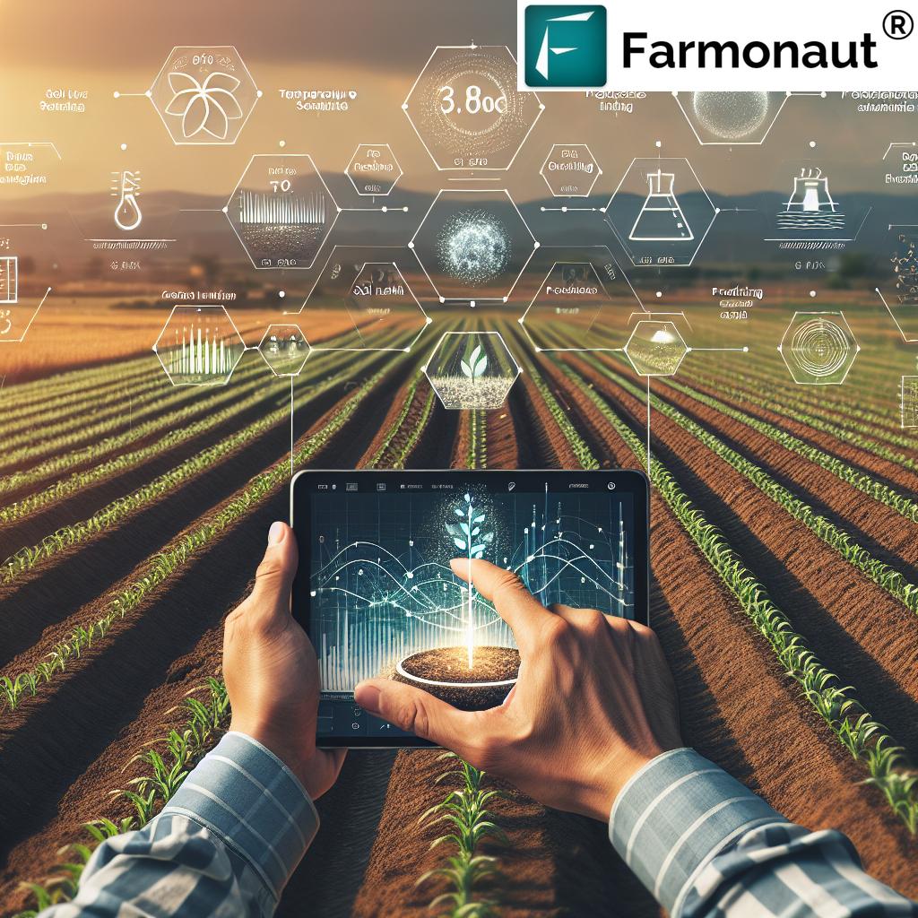
Precision Agriculture Tools: The Smart Revolution in Farming
“Precision agriculture technology can reduce water usage in farming by up to 30% through advanced soil and water assessment.”
The era of “one size fits all” farming is over. Precision agriculture leverages a suite of high-tech tools and sensors to enable site-specific management and monitoring. Here are the principal precision agriculture tools that are reshaping crop production worldwide:
1. GPS and Geographic Information Systems (GIS)
- Facilitate precise field mapping, allowing applications to vary by field zone
- Empower Variable Rate Technology (VRT) for customized seeding, fertilization, and irrigation
- Support yield mapping and real-time spatial analysis at every stage
These technologies underpin virtually all modern data flows in precision agriculture.
2. Unmanned Aerial Vehicles (UAVs) / Drones
- Gather highly-detailed images for crop monitoring, vegetation analysis, and stress detection
- Produce topographic and soil property maps to guide targeted interventions
- Allow rapid, repeatable assessments across multiple fields or regions
Drones are the most accessible frontier for remote sensing in agriculture, delivering on-demand geospatial data with ease.
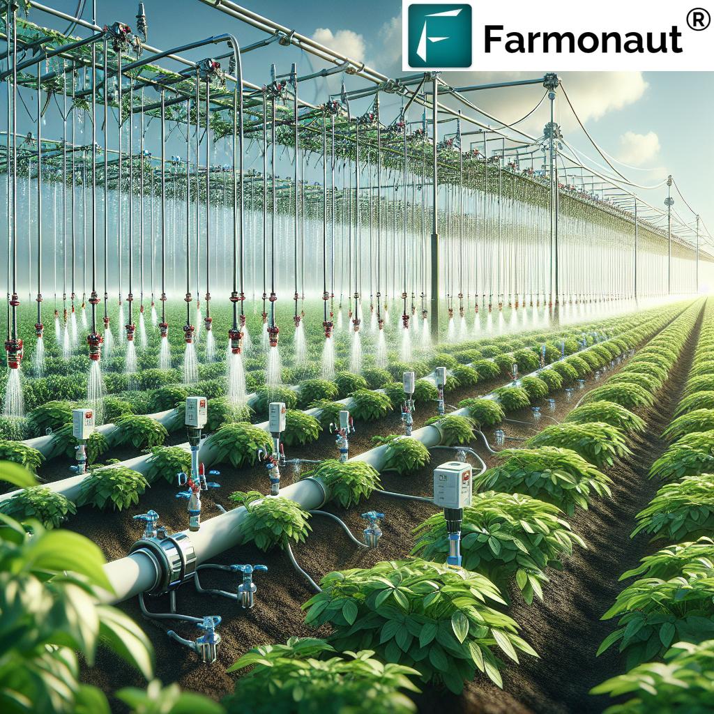
3. Internet of Things (IoT) Sensors & Soil Moisture Sensors
- Deliver continuous, in-field data about soil moisture, temperature, nutrient status, weather conditions
- Soil moisture sensors help optimize irrigation schedules and avoid both over- and under-watering
- Automate updates into farm management systems for actionable, informed decisions
Adoption of IoT in farming means no longer waiting for manual data collection; instead, real-time streams fuel every aspect of smart agriculture.
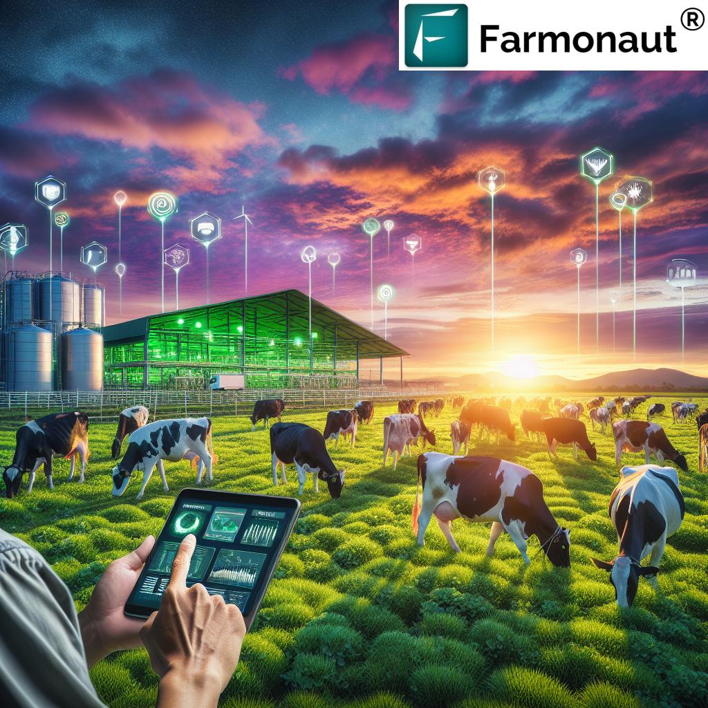
Manage 1000s of hectares efficiently! Enhance your farm organization—from satellite-driven monitoring, fleet tracking, resource allocation to comprehensive performance analytics—using leading-edge solutions like Farmonaut’s Large-Scale Farm Management platform. This empowers decision-makers with a unified view across all assets and activities.
4. Platform-Integrated Advisory Systems
- Combine satellite data, AI advisories, and blockchain traceability for 360-degree field oversight
- Boost both sustainability and transparency—from carbon footprint tracking to product origin verification
- Facilitate informed decision-making directly from a mobile device or web portal
These precision agriculture technologies collectively enhance productivity, efficiency, and sustainability for all types of farmers and landowners.
For forestry, plantation, or mixed-use landscapes, discover how Farmonaut’s plantation & forest advisory tools deliver data-driven strategies for environmental resilience and multi-year production optimization.
BioMA Framework: Modeling and Simulating Agricultural Impact
Environmental and agricultural modeling must keep pace with rapid climate, land use, and technology change. The BioMA (Biophysical Model Applications) framework is an open-source modular software system that supports development and execution of multi-model simulations in agriculture and environment.
BioMA Framework Features:
- Component-based design enables flexible integration of various process models for e.g., crop growth, soil hydrology, weather impacts.
- Enables scenario analysis for global change—assessing yield, risks, and adaptation strategies for crops under future climates.
- Widely used for policy support, regional assessments, and environmental impact evaluation.
The BioMA framework demonstrates how modular computer programs and modeling tools are revolutionizing adaptive management.
Agri Toolkit: Quantifying Sustainability in Agriculture
Attaining true sustainability in agriculture means not just measuring yields, but accounting for environmental and social impact. The Agri Toolkit, designed around UN FAO guidelines, supports small and medium farm operations in assessing and demonstrating sustainability outcomes.
Core Features of the Agri Toolkit:
- Measures environmental efficiency, inputs and outputs, and farmer practices
- Provides actionable guidance for improvement—turning sustainability into a business advantage
- Promotes market access by making environmental credentials visible to buyers and partners
By focusing on management choices and their impacts, this toolkit is central to modern, sustainable land management practices.
Ready to take a step towards sustainability? Utilize Farmonaut’s carbon footprinting tools to track, analyze, and reduce your farming operation’s emissions. Make sustainability your advantage!
Environmental Monitoring Systems: Tracking Change Across Landscape and Time
Continuous environmental monitoring in farming is vital for both sustainable development and regulatory compliance. Geospatial data tools like the Rangeland Analysis Platform (RAP) enable visualization and analysis of vegetative cover, biomass, and rangeland health.
Benefits of Environmental Monitoring Systems:
- Detect and quantify vegetation change, land degradation, and biomass production
- Support strategic land management decisions to optimize yields and protect habitats
- Facilitate scenario modeling for future impacts and recovery strategies
Such systems are essential for global sustainability initiatives and local farm or ranch productivity.
To take your commitment to the next level, explore Farmonaut’s carbon footprinting solution. We offer integrated, real-time tracking of your farm’s environmental impact for transparency and actionable improvement.
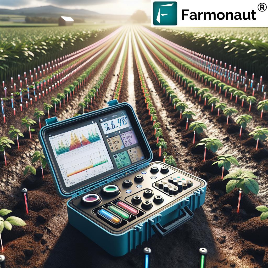
Soil Testing Instruments: Unlocking the Secrets Beneath the Surface
Understanding soil properties is the backbone of nutrient management, crop health, and overall field productivity. Advanced soil testing instruments empower farmers to make precise, timely interventions.
Explore the range of tools:
- Laboratory Equipment: Spectrophotometers, soil pH meters, and advanced analyzers for detailed chemistry and fertility diagnostics.
- Field-Testing Instruments: Portable moisture sensors, pH probes, and soil nutrient analyzers for rapid, in-situ analysis.
Immediate data means immediate action—optimizing fertilizer inputs, correcting deficiencies, and ensuring sustainable yield growth.
For robust traceability from field to processing and final market, leverage Farmonaut’s blockchain-based traceability modules: Provenance and compliance with every harvest.
Need satellite-based evidence for farm loans or insurance claims? Farmonaut’s crop loan & insurance verification tools ensure speed, transparency, and fairness.
Autonomous Soil Sampling and Mapping: Robotics in the Field
The next frontier in precision agriculture technology is here: autonomous soil sampling.
Driven by robotics and real-time analysis, these systems:
- Automatically sample and analyze soil conditions (e.g., pH, nutrient levels, moisture) across entire fields
- Map critical parameters instantly, providing granular, actionable data
- Cut down sampling time from hours or days to mere minutes
With autonomous soil sampling, farms integrate high-frequency data into all their sustainability and productivity assessments—maximizing both efficiency and accuracy.
Managing machines, staff, and logistics? Farmonaut’s fleet management tools bring GPS, analytics, and field coordination to your operations, minimizing costs and maximizing uptime.
Comparison Table: Precision Agriculture Tools for Assessment and Analysis
| Tool Name | Technology Used | Primary Function | Estimated Efficiency Improvement (%) | Environmental Sustainability Score (out of 10) | Typical Use Cases |
|---|---|---|---|---|---|
| Remote Sensing Platforms (e.g. Satellite/GIS) | Remote sensing Satellite imagery GIS |
Crop & soil health assessment, mapping, change monitoring | 18–35% | 8.5 | Large-area crop monitoring; Land use planning; Drought impact analysis |
| Soil Moisture Meters & Sensors | IoT sensors Field electronics |
Monitor soil moisture, optimize irrigation | 12–30% | 9.0 | Irrigation scheduling; Fertilizer timing; Stress detection |
| Crop Monitoring Drones (UAV) | Multispectral/thermal cameras Drones |
Real-time crop health monitoring, spatial analysis | 18–27% | 8.0 | NDVI mapping; Disease scouting; Yield estimation |
| Water Assessment Tools (SWAT) | Hydrological modeling Software |
Simulate water quality/quantity, management impact | 15–25% | 9.0 | Catchment/basin studies; Policy planning; Environmental compliance |
| Soil Testing Instruments | Field/lab analyzers Spectrometry |
Analyze nutrient status, pH, fertility, contaminants | 14–22% | 8.3 | Field nutrient mapping; Yield improvement; Precision fertilization |
| Autonomous Soil Samplers | Robotics Automated sensors |
Real-time, grid-based soil parameter mapping | 17–24% | 9.3 | Bulk sampling; Research plots; Large, heterogeneous fields |
| Environmental Monitoring Systems (RAP) | Geospatial databases Satellite mapping |
Vegetation & biomass analysis, land health tracking | 10–19% | 8.8 | Rangeland management; Carbon accounting; Degradation detection |
| Decision Support Systems (DSSAT) | Software suite Modeling |
Scenario testing, crop simulations, yield prediction | 13–21% | 8.6 | Research; Farm planning; Climate risk assessment |
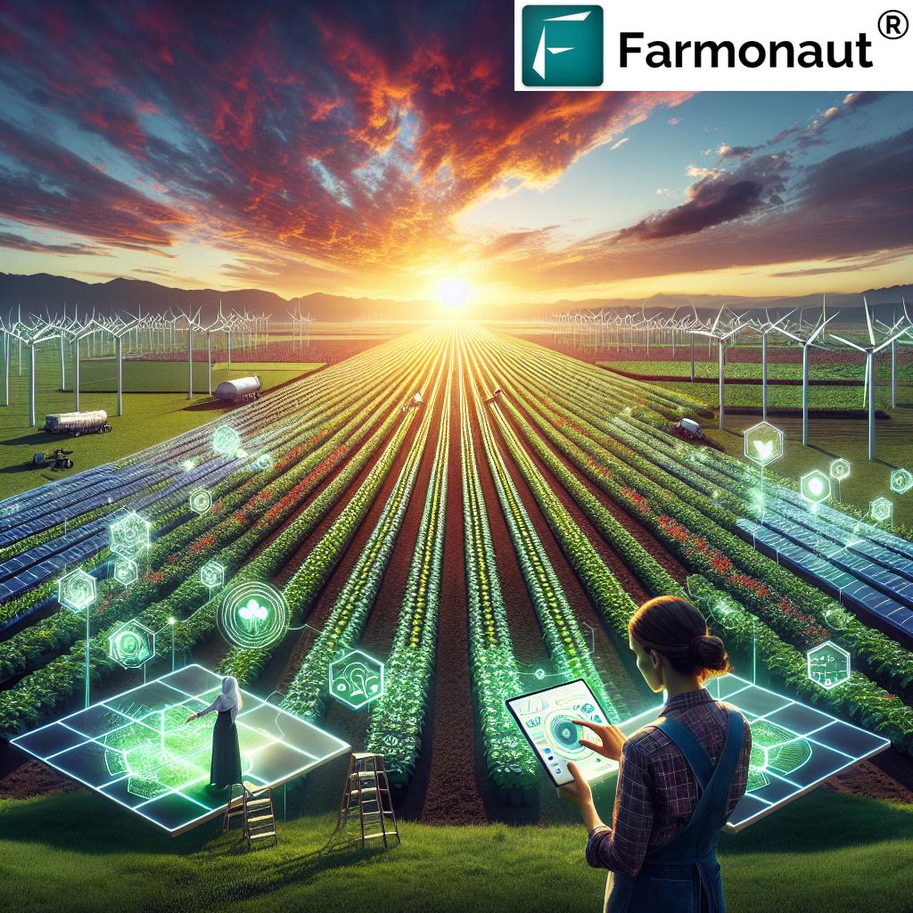
Farmonaut’s Satellite-Driven Agricultural Solutions
At Farmonaut, we believe in democratizing precision agriculture technology for every grower—whether managing a single field or an entire nation of farms. Our platform empowers users with scalable crop health monitoring via satellites, AI advisories, blockchain traceability, and seamless resource management tools, all accessed effortlessly on Android, iOS, web, or API integration.
- Real-time Crop Monitoring: Diagnose issues before they escalate using NDVI and moisture mapping from satellite data
- Jeevn AI Advisory: Get personalized, AI-driven management strategies based on your unique crop, location, and weather patterns
- Blockchain Traceability: Guarantee honest, secure farm-to-market product journeys and protect your brand’s value
- Resource and Fleet Management: Minimize waste, coordinate field operations, and optimize inputs across your organization
- Carbon Footprint and Insurance: Track, analyze, and reduce your environmental impact; secure loans and claims with satellite-verified evidence
Our mission remains unwavering: To make data-driven, advanced agri-tech tools affordable for every farmer, globally.
Explore Farmonaut’s satellite data API
| API documentation for developers
Conclusion: The Future of Farming is Data-Driven, Sustainable, and Smart
The trajectory of global agriculture is being reshaped by digital tools for agricultural activity assessment and analysis. From soil testing instruments in the field to AI-based advisory platforms in the cloud, the synergy of precision agriculture technology, remote sensing in agriculture, and crop monitoring systems is equipping today’s farmers to:
- Diagnose and optimize every square meter of land
- Respond faster to weather, soil, and crop health challenges
- Reduce environmental impacts and enhance sustainability
- Increase traceability and trust across the food system
- Profit from better decisions, every season and every field
With ever-improving data, tools, and technologies—and solutions like those we offer at Farmonaut—the potential for higher productivity and environmental stewardship has never been greater. Join the agricultural revolution: Empower your farm, optimize your fields, and contribute to a more sustainable future!