Farmvibes.ai Airbus Satellite Imagery Purchase Guide: Maximizing Precision Agriculture in 2025 And Beyond
“Airbus satellites can capture imagery of farmland with resolutions as sharp as 0.5 meters, revealing crucial crop details.”
Table of Contents
- Introduction: The Shift to Satellite-Driven Agriculture
- The Revolution: Satellite Imagery, AI, and Precision Agriculture
- Understanding Airbus Satellite Imagery in Agriculture
- Farmvibes.ai Satellite Imagery Purchase and Download Workflow
- Feature Comparison Table: Airbus Satellite Imagery Options
- AI-Powered Insights & Analytics: Translating Data into Actionable Intelligence
- Customized Workflows and Export Options
- Benefits for Farmers, Agronomists, and Stakeholders
- Regional Management & Policymaking with Satellite Data
- AI Integration, Environmental Monitoring, and Sustainable Practices
- Farmonaut: Advanced Agricultural Solutions Beyond Imagery
- Frequently Asked Questions (FAQ)
- Conclusion: Empowering Agriculture’s Future in 2025 and Beyond
Introduction: The Shift to Satellite-Driven Agriculture
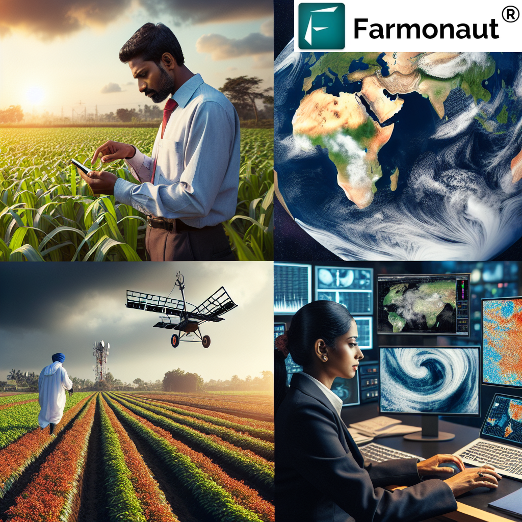
In 2025, the integration of satellite imagery into modern agriculture is no longer a novelty—it’s a foundational tool for sustainable, data-driven agricultural management. As the global population soars, the demand for food security and productivity pushes the boundaries of agricultural technology and innovation. Platforms like Farmvibes.ai, harnessing the power of Airbus satellite imagery, are empowering farmers, agronomists, and agricultural stakeholders with unprecedented access to high-resolution, timely insights. The synergy between advanced satellite technology, innovative platforms, and artificial intelligence (AI) is reshaping not only how we farm but also how we ensure the sustainability of our food systems on a global scale.
The Revolution: Satellite Imagery, AI, and Precision Agriculture
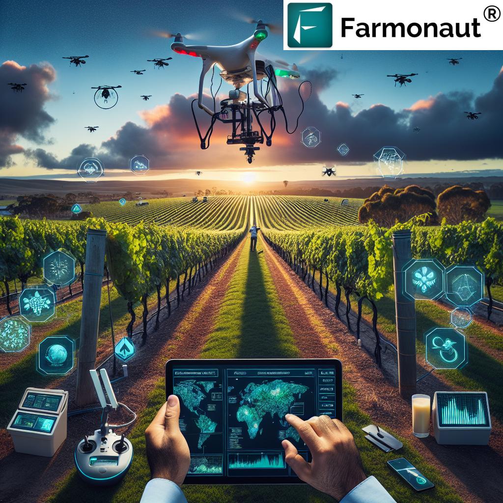
The agricultural industry has always been at the forefront of adapting innovation. Yet, the transition we witness in 2025—where precision agriculture is enabled by satellite imagery and AI intelligence—signifies a leap akin to the introduction of tractors or hybrid seeds. Platforms like Farmvibes.ai airbus satellite imagery empower stakeholders with an actionable, birds-eye view of fields, enabling real-time monitoring, assessment, and rapid response to changing conditions. With this, farming has become more about leveraging data than ever.
The above tutorial video demonstrates how real-world satellite and AI integration can simplify complicated agricultural decision-making, bringing critical insights directly to the user via intuitive apps and platforms.
“AI-powered analysis of satellite data can track crop growth trends across fields covering over 1,000 hectares within hours.”
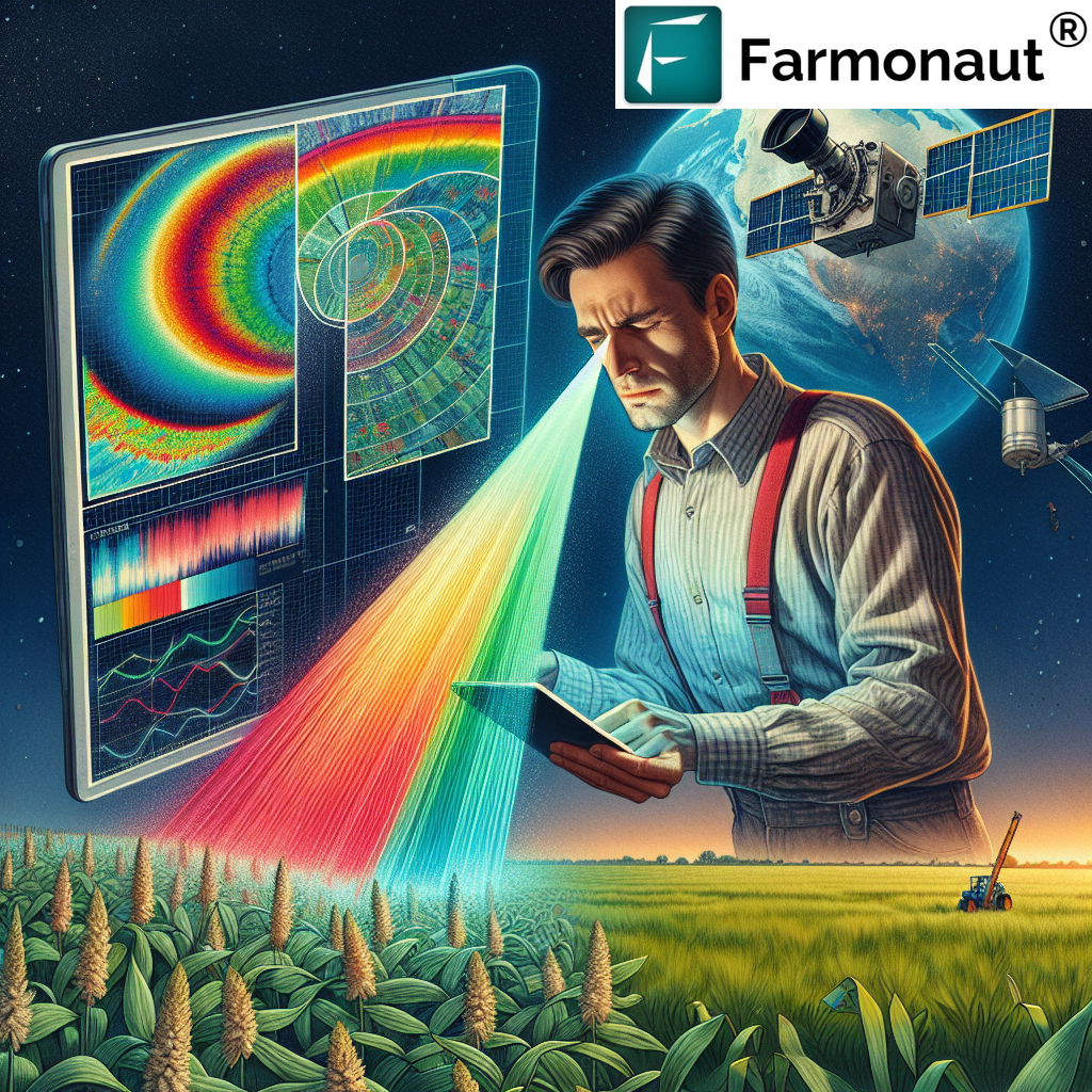
Understanding Airbus Satellite Imagery in Agriculture
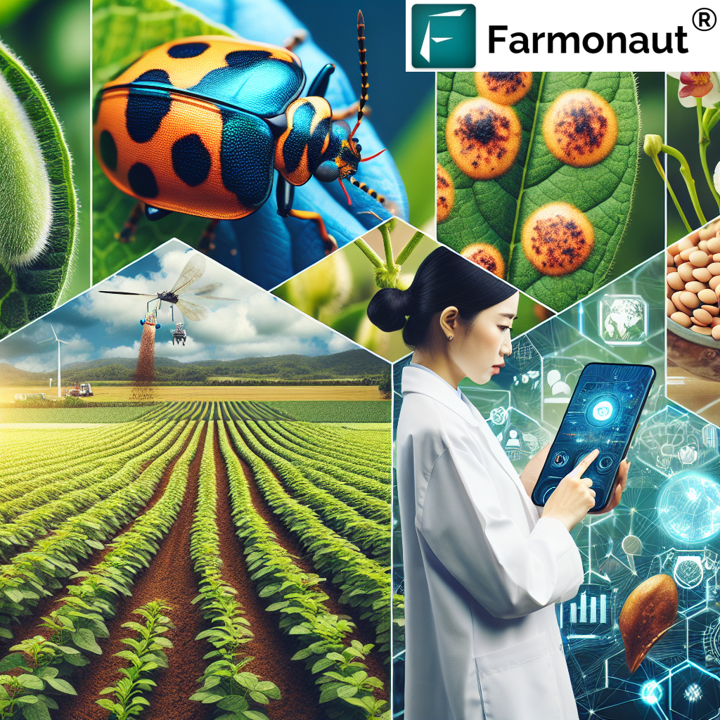
Airbus satellites are pivotal in capturing detailed, multispectral images of the Earth’s surface. Their capability to deliver high-resolution imagery—including both optical and radar imaging—offers several critical benefits for agricultural management:
- Frequent Revisit Times: Satellites revisit the same location every few days, providing time-series data to track changes.
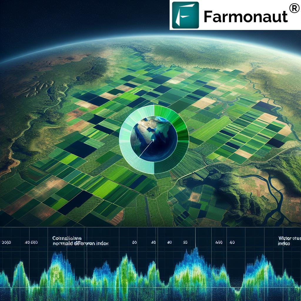
- Multispectral Imaging: Images capture diverse wavelengths to assess vegetation indices like NDVI (Normalized Difference Vegetation Index), crucial for gauging crop health.
- Cloud-Penetrating Radar: Radar imagery enables monitoring under cloudy conditions, ensuring data continuity in vital, weather-prone zones.
- High Resolution: Imagery as sharp as 0.5 meters per pixel reveals field-level anomalies, stress zones, and pest infestations.
The direct application of these advanced imaging technologies allows farmers and agribusinesses to make informed, timely decisions, ensuring high yields and optimal resource management even under unpredictable environmental conditions.
Farmvibes.ai Satellite Imagery Purchase and Download Workflow
One of the standout features in the Farmvibes.ai platform is its intuitive satellite imagery purchase and download workflow. This design ensures that both large-scale agronomists and individual farmers can easily purchase, access, and download satellite data without navigating complex geospatial systems. Here’s how this streamlined process typically unfolds:
-
Specify the Area of Interest:
Users initiate the process by selecting the area they want to monitor. This could range from a single farm to an entire region, using a simple map-based interface. -
AI Recommendations:
Proprietary AI algorithms recommend the optimal satellite datasets based on the crop type, phenological stage (growth cycle), and specific user needs (irrigation, disease detection, etc.). -
Selection and Direct Purchase:
Users preview the recommended Airbus satellite imagery and choose datasets that best fit their requirements. The purchase is completed directly via the Farmvibes.ai interface, eliminating intermediaries and reducing waiting times. -
Swift Data Processing:
The purchased imagery is quickly processed to remove atmospheric distortions and enhance data quality. -
Actionable Insights and Download:
AI-powered analytics models transform raw satellite imagery into maps, reports, and alerts, which users can download in various formats (TIFF files for GIS, PDFs, simplified reports for extension officers, etc.).
This end-to-end workflow makes precision agriculture accessible and actionable—even for those without prior geospatial or remote sensing expertise.
Feature Comparison Table: Airbus Satellite Imagery Options for Agriculture
Selecting the right satellite imagery is critical for maximizing farm outcomes. Below is a feature comparison table to help you understand, compare, and choose the most suitable Airbus imagery package for your agricultural needs:
| Imagery Level | Spatial Resolution | Coverage Area / Image (km²) | Revisit Frequency (days) | Estimated Price (USD/ km²) | AI Compatibility | Sample Use Cases |
|---|---|---|---|---|---|---|
| Standard | 1.5 m | 450 | 3–5 | $5 – $8 | Yes | Seasonal Monitoring, Vegetation Indices, Broad Yield Forecasting |
| Advanced | 0.5 m | 100 | 1 | $15 – $20 | Yes | Targeted Crop Stress, Pest Detection, Disease Mapping, Precision Input Application |
| Radar (All-weather) | 3 m | 250 | 2–3 | $8 – $12 | Yes | Soil Moisture Mapping, Flood/Drought Assessment, Persistent Monitoring under Cloudy Conditions |
| Multispectral | 1.0 m | 300 | 2–4 | $10 – $14 | Yes | Chlorophyll Mapping, Nutrient Deficiency, Large Scale Vegetation Assessment |
Note: The above table presents estimated values for guidance in making purchase decisions, and the actual figures may vary depending on the provider and usage.
AI-Powered Insights & Analytics: Translating Data into Actionable Intelligence
Capturing satellite data is just the beginning. The true power of Farmvibes.ai airbus satellite imagery lies in its ability to translate raw images into actionable insights using proprietary AI analytic models. When users download their purchased imagery, the platform offers:
- Crop Health Mapping: Identify zones of stress, nutrient deficiencies, or areas requiring replanting.
- Vegetation Indices: Automated reports on health indices (e.g., NDVI, SAVI), making it easy to monitor seasonal growth stages.
- Pest and Disease Detection: Early discovery of pest infestations or disease outbreaks based on pattern anomalies, enabling timely interventions.
- Irrigation Management: Leverage soil moisture and surface wetness analytics to guide water use, supporting both yield improvement and environmental sustainability.
- Growth Performance Analytics: Track individual crop or plot performance over time at unprecedented resolution.
These insights empower farmers, agronomists, and agricultural stakeholders to make smarter, faster, and more cost-effective decisions across all stages of the crop cycle.
Customized Workflows and Export Options in Farmvibes.ai Satellite Imagery Purchase Download Workflow Company
The Farmvibes.ai satellite imagery purchase download workflow company offers unparalleled flexibility, supporting diverse user needs across farming scales and technical competencies. Once actionable insights are generated, users can download them in a variety of formats to suit integration requirements:
- High-Resolution TIFF Files: Ideal for seamless integration into third-party GIS platforms.
- PDF Reports: User-friendly summaries for extension officers, policy-makers, and on-ground teams.
- CSV & JSON Exports: For advanced analytics or custom AI/machine learning pipelines.
- Mobile-Friendly Maps: Accessible on-the-go for field staff via smartphones or tablets.
This flexibility ensures everyone—from large agribusinesses to smallholder farmers—gains equal access to satellite-driven intelligence and precision farming advantages.
Benefits for Farmers, Agronomists, and Stakeholders
The integration of Airbus satellite imagery into precision farming workflows brings numerous benefits:
- Cost Reduction: Precision agriculture minimizes unnecessary use of water, fertilizer, or pesticides—cutting input costs.
- Yield Improvement: Timely detection of crop stress or deficiencies allows for rapid intervention, maximizing outcomes.
- Minimized Environmental Impact: Targeted resource use and climate-responsive practices support environmental sustainability.
- Risk Reduction: Early warning for droughts, floods, or pest outbreaks reduces potential crop losses.
- Field-Level Traceability: Blockchain-based traceability (from Farmonaut) supports supply-chain transparency and food safety. Supply chains—especially for export—can be monitored for authenticity and compliance with certification requirements.
These benefits combine to create a farming ecosystem that is not only productive but also resilient and future-ready.
Regional Management & Policymaking with Satellite Data
The impact of Farmvibes.ai satellite imagery extends beyond individual farms to regional and national scales. Governments and cooperative societies can harness satellite-driven data to:
- Monitor Crop Progress: Assess yield, detect anomalies, and forecast harvests at region or state levels.
- Anticipate Food Shortages: Early detection of poor growth areas to enable proactive food security planning.
- Resource Allocation: Strategically deploy resources (seeds, fertilizers, extension agents) to zones with the highest need.
- Pest & Drought Mitigation: Detect signs of major outbreaks or water-shortage patterns early to activate relief and prevention measures.
- Policy Impact Assessment: Validate the impact of agricultural subsidies or sustainability programs via continuous, unbiased monitoring.
This level of agricultural intelligence equips policymakers and large organizations to implement effective, data-driven strategies that ensure national food security.
AI Integration, Environmental Monitoring, and Sustainable Practices
Sustainability is a core tenet for 21st-century agriculture. With Farmvibes.ai airbus satellite imagery, AI-powered environmental monitoring enables:
- Carbon Footprinting: Track emissions and plan sustainable operations with Farmonaut’s Carbon Footprinting tools.
- Water and Soil Conservation: Leverage imagery-derived soil moisture maps to optimize irrigation, reducing waste and combating salinization.
- Nutrient and Input Management: Deploy fertilizers only where necessary, based on high-resolution, site-specific analytics—increasing efficiency and decreasing environmental load.
- Climate Resilience: Quickly adapt to erratic weather patterns by monitoring crop stress and changing field conditions in near real-time.
These tools collectively help ensure we move toward a more resilient and regenerative agriculture, balancing productivity with stewardship of our finite natural resources.


Experience real-time satellite data and actionable analytics for your farms via our
web app, or via the official
Android app
and
iOS app
for on-the-go precision agriculture management.
Farmonaut: Advanced Agricultural Solutions Beyond Imagery
As a leading satellite technology company, Farmonaut doesn’t just facilitate the purchase and download of imagery—we offer comprehensive, affordable, and scalable solutions for the entire food and agriculture value chain. Here are some of our standout offerings:
- Satellite-Based Monitoring: Our platform leverages multispectral imagery to monitor crop health (e.g., NDVI), soil conditions, and infrastructure. These services empower both smallholders and large enterprises to run precise, efficient operations.
- Jeevn AI Advisory System: Our inbuilt AI system provides strategic advice, weather forecasts, and task recommendations, driving agricultural productivity and sustainability.
- Fleet & Resource Management: Optimize logistics—minimize costs and maximize uptime for your agricultural fleet via our Fleet Management system.
- Blockchain Traceability: Guarantee product authenticity and fight fraud in supply chains with our traceability solution.
- Environmental Impact Monitoring: Our real-time platforms monitor carbon footprints and resource use, making sustainability a practical reality.
- API Access: Integrate satellite and AI-driven agricultural intelligence directly into your business via our satellite data API. Full developer documentation is available at Farmonaut API developer docs.
- Large-Scale Farm Management: For administrators, cooperatives, and agri-enterprises, our Large Scale Field Mapping & Management system is built for efficiency at scale.
- Crop Loan & Insurance Verification: We support financial institutions to reduce fraud and provide easy verification of crop health and losses—learn more here.
With a subscription-based model—easy to scale for individual users, businesses, and government organizations—Farmonaut ensures the democratization of satellite-driven insights for agriculture.
Frequently Asked Questions (FAQ): Farmvibes.ai Airbus Satellite Imagery Purchase
What is Farmvibes.ai?
Farmvibes.ai is a pioneering software platform designed for the agricultural industry, enabling stakeholders to purchase and analyze high-resolution Airbus satellite imagery for precision farm monitoring, crop health analysis, and resource management in 2025.
Why is satellite imagery an indispensable tool for agriculture?
Satellite imagery provides critical, timely information on crop health, soil moisture, pest infestations, and environmental conditions. Unlike traditional methods, it allows for large-scale, frequent, and non-invasive monitoring of crops—leading to greater efficiency and sustainability.
How does the imagery purchase download workflow work?
Users specify their area of interest, get AI-driven recommendations, purchase the satellite imagery directly via the Farmvibes.ai interface, and receive fast-processed, actionable insights which they can download in various formats based on their needs.
What types of Airbus imagery are available?
Standard, Advanced, Radar (All-weather), and Multispectral imagery with varying resolution, revisit frequency, and use cases—see our comparison table above for details.
Who are the primary users of Farmvibes.ai satellite imagery?
Farmers, agronomists, cooperatives, government agencies, and agtech companies use this platform for monitoring, intervention, and large-scale agricultural management.
Does Farmonaut offer any solutions besides imagery purchase?
Yes, Farmonaut also provides environmental impact tracking, blockchain traceability, large-scale farm administration tools, and fleet management services—enabling agriculture, mining, and infrastructure productivity and transparency worldwide.
What formats can I download my satellite analytics in?
TIFF (for GIS), PDF, CSV, JSON, or mobile-optimized maps—based on your integration and workflow needs.
How does this support sustainable farming?
Platforms like Farmvibes.ai, using Airbus satellite imagery, allow for site-specific management of water, fertilizer, and crop inputs, thus reducing environmental impact while maximizing productivity.
What APIs are available for integrating imagery data?
Farmonaut offers an agri-satellite data API. Explore full documentation at Farmonaut’s API developer docs.
Conclusion: Empowering Agriculture’s Future in 2025 and Beyond
By 2025, the world of agriculture has fully transitioned to recognizing satellite imagery as an indispensable technology for food security, environmental sustainability, and rural prosperity. Platforms like Farmvibes.ai airbus satellite imagery stand at the core of this shift, offering seamless workflows and actionable analytics that empower users—from smallholder farmers to global agribusinesses and policy-makers. Through a blend of advanced satellite data, AI-driven intelligence, and customizable exports, stakeholders now oversee their fields, regions, or entire nations with unprecedented precision and agility.
At Farmonaut, we strive to democratize access to these transformative tools, ensuring that every stakeholder in the agricultural world is equipped to meet the challenges and opportunities of climate variability, resource scarcity, and rising food demand. The future of sustainable and productive agriculture will be shaped by those who harness the power of data, technology, and continuous innovation—and with platforms like Farmvibes.ai, that future is already within reach.