Remote Sensing in Agriculture in India: 5 Key Innovations
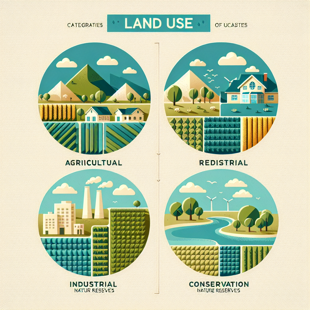
- Overview of Remote Sensing in Agriculture
- Major Applications: Remote Sensing in Farming
- Comparison Table of 5 Remote Sensing Innovations in Indian Agriculture (2025)
- Remote Sensing in Agriculture in India: Transforming Practices in 2025
- 5 Key Innovations Leveraging Remote Sensing in Indian Agriculture
- How Farmonaut Powers the Future of Remote Sensing Farming
- Future Prospects and Challenges
- Farmonaut Platform & Subscriptions
- FAQ: Remote Sensing in Agriculture (India, 2025)
- Conclusion
Overview of Remote Sensing in Agriculture
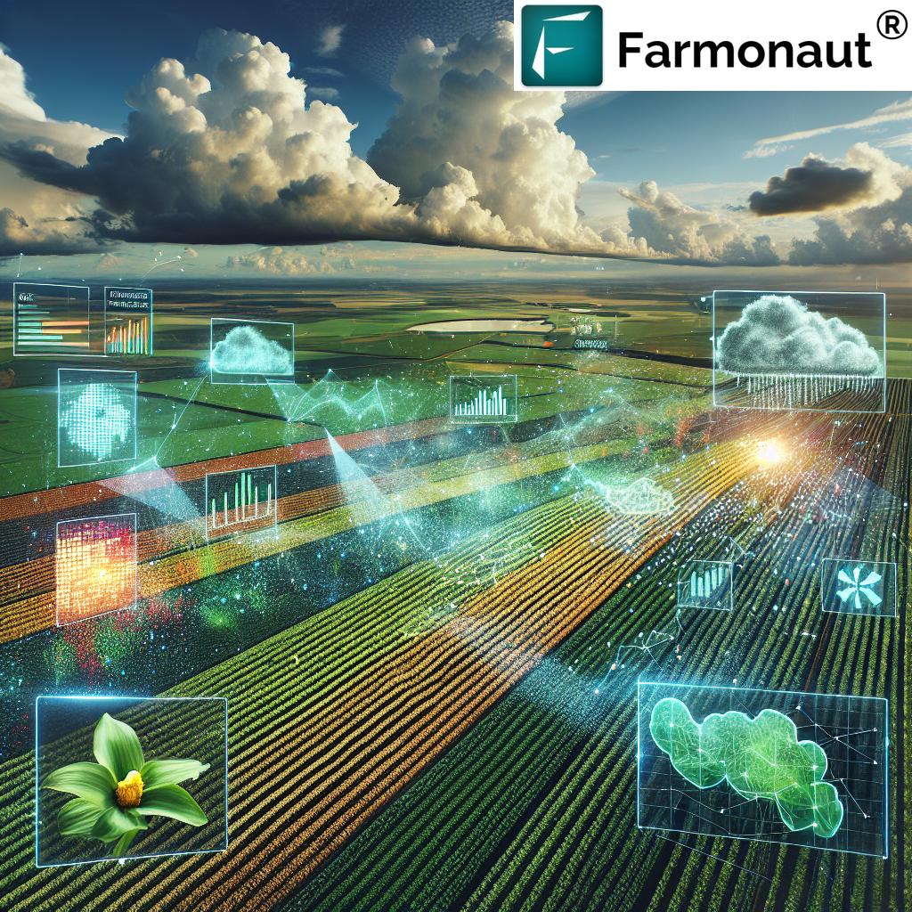
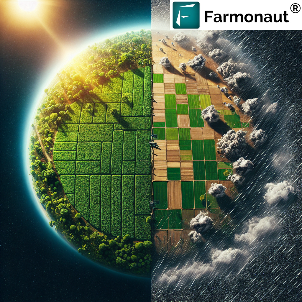
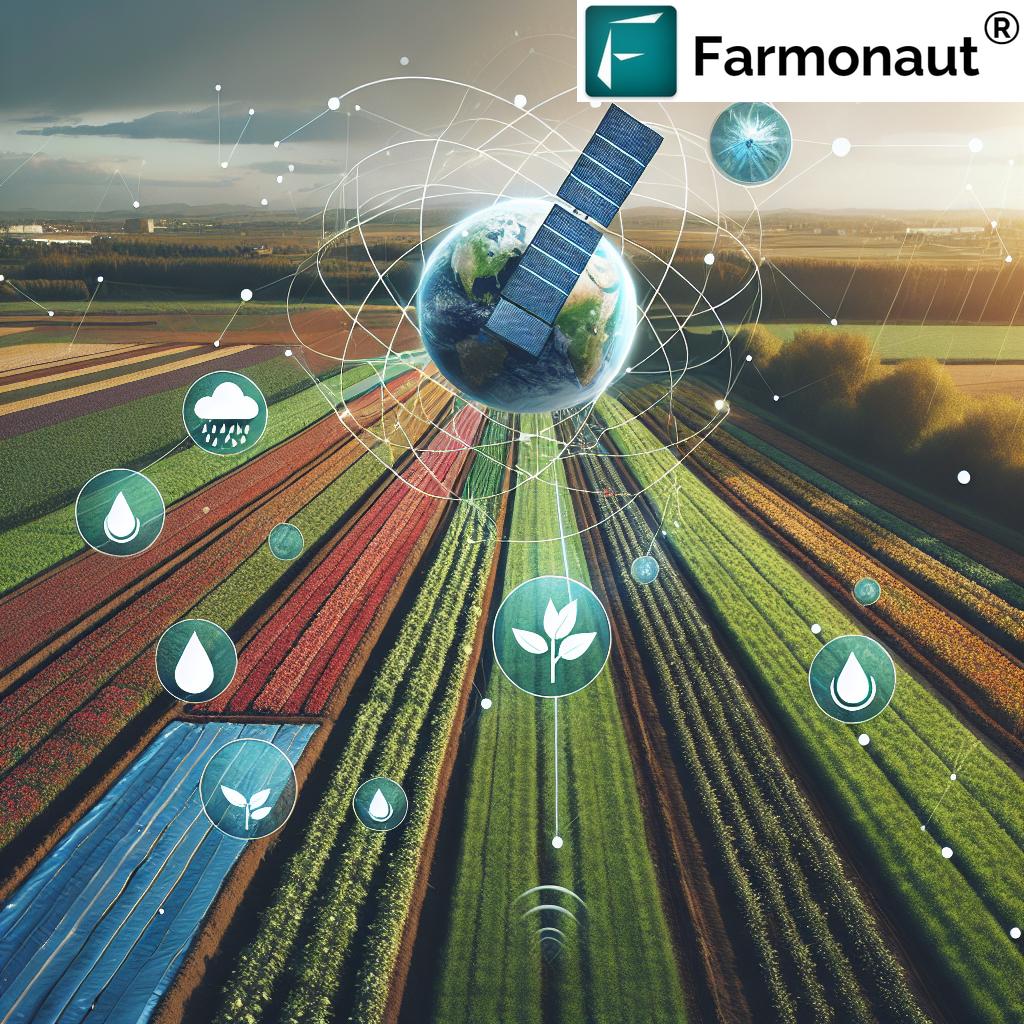
The role of remote sensing in agriculture has rapidly evolved from an emerging tool into an essential technology for modern farming and agricultural management—especially in vast and diverse countries like India. This revolutionary technology facilitates the acquisition of information about Earth’s surface without direct contact, using platforms such as satellites, drones, and aerial sensors equipped with the latest innovations. These sensors detect reflected and emitted radiation across various wavelengths, converting raw data into actionable insights for farmers, policymakers, agribusinesses, and food security managers.
Key to remote sensing use in agriculture is its ability to provide timely, accurate, and large-scale data on everything from crop health and soil moisture to pest infestations and yield estimations. Data-driven agriculture, powered by remote sensing, now lies at the heart of precision management—allowing for resource optimization, input reduction, and enhanced sustainable practices.
For Indian agriculture in 2025, this translates to end-to-end, technology-powered transformation—improving both smallholder viability and large-scale agribusiness success. Let’s explore how remote sensing in farming is reshaping our agricultural future.
Major Applications: Remote Sensing in Farming
The applications of remote sensing in agriculture are both broad and deep, providing solutions for the complex, interconnected challenges faced by Indian farmers, agribusinesses, and policymakers. Below, we highlight the pivotal remote sensing farming use cases that are accelerating rural prosperity and sustainability in 2025.
1. Crop Monitoring and Health Assessment
- Early detection of nutrient deficiencies, disease, and pest attacks via multispectral or hyperspectral imagery.
- Use of vegetation indices like NDVI (Normalized Difference Vegetation Index) for monitoring plant vigor and mapping field variability.
- Allows farmers to apply targeted interventions, reducing input costs and yield losses.
2. Soil Analysis and Moisture Management
- Assessment of soil texture, moisture content, and organic matter directly from satellite and drone data.
- Optimize irrigation and fertilizer schedules to conserve water and prevent overuse of agrochemicals.
- Promotes sustainable farming practices, reducing environmental pollution.
3. Precision Agriculture and Yield Prediction
- Integration of remote sensing data with GIS and GPS for precision agriculture—enabling site-specific management.
- Yield forecasting through satellite-derived crop data supports harvest planning, supply chain logistics, and market strategies.
- Reduces resource wastage and boosts productivity for small and large farms.
4. Pest and Disease Surveillance
- Early identification of pest hotspots or disease outbreaks via spectral analysis and vegetation indices.
- Allows proactive crop protection strategies, minimizing chemical pesticide use and maximizing output.
- Supports food security and export compliance for Indian produce.
5. Irrigation Management
- Real-time tracking of crop evapotranspiration and soil moisture for efficient irrigation planning.
- Reduces excessive water use—a critical concern as water scarcity intensifies in many Indian states.
- Improves crop yield and saves water resources.
Comparison Table of 5 Remote Sensing Innovations in Indian Agriculture (2025)
| Innovation Name | Main Technology Used | Estimated Adoption Rate (% in India, 2025) | Primary Benefits | Example Application |
|---|---|---|---|---|
| Satellite-Based Crop Health Monitoring | Multispectral Imaging, Vegetation Indices (NDVI) | 62% | Timely crop stress detection, precise intervention | Identifying nitrogen deficiencies in wheat across Punjab |
| Soil Moisture Remote Sensing | Passive Microwave Sensors, AI-Based Data Analysis | 47% | Optimized irrigation, reduced water wastage | Automated irrigation scheduling in rice fields of Andhra Pradesh |
| AI-Powered Pest/Disease Detection | Hyperspectral Imaging, Machine Learning | 34% | Early outbreak warning, reduced pesticide use | Detecting yellow rust in mustard crops in Rajasthan |
| Yield Prediction and Crop Mapping | Satellite Imagery Integration with GIS/GPS | 54% | Accurate market planning, supply chain efficiency | District-level yield forecasts for sugarcane in Maharashtra |
| Blockchain-Based Product Traceability | Remote Sensing + Blockchain | 21% | Supply chain transparency, reduces fraud | Tracking organic cotton from Gujarat farm to textile mill |
Remote Sensing in Agriculture in India: Transforming Practices in 2025
India stands at the forefront of remote sensing in agriculture, leveraging one of the most ambitious national satellite programs and digital initiatives globally. The Indian Space Research Organisation (ISRO) deploys platforms like RISAT for radar imaging, Resourcesat for multispectral imaging, and Cartosat for high-resolution earth observation.
In the context of 2025, remote sensing in agriculture in India is characterized by:
- Government adoption—NADAMS (National Agricultural Drought Assessment and Monitoring System) uses satellite data to provide early drought warnings and guide disaster relief planning.
- Real-time support for farmers—Digital platforms and mobile apps transmit advisories and actionable alerts, democratizing data access for even the smallest landholdings.
- Private innovation—Companies like Farmonaut advance affordability and precision, integrating AI, blockchain, and satellite analytics for proactive farm management.
- Wide-ranging impact—Enables monitoring across agroforestry, forestry, and high-value crops as well as staple cereals.
By bridging information gaps and empowering data-driven decisions, remote sensing in farming across India is delivering higher yields, sustainable resource use, and enhanced climate resilience—all essential for meeting the food security and environmental challenges of the future.


5 Key Innovations Leveraging Remote Sensing in Indian Agriculture
Let’s delve deeper into each key remote sensing innovation transforming agriculture in India for 2025 and beyond. These innovations are not only increasing productivity and sustainability but also addressing the most pressing environmental and economic challenges.
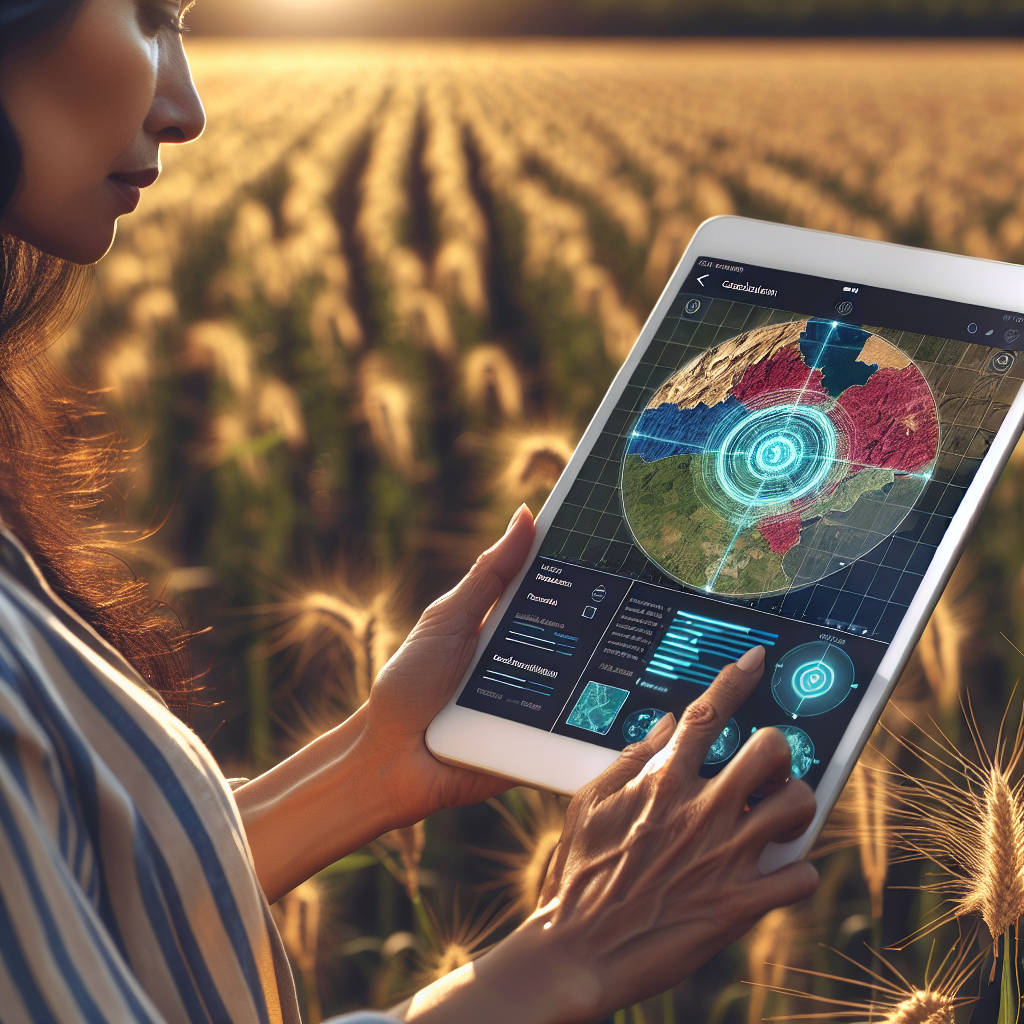
1. Satellite-Based Crop Health Monitoring & NDVI Mapping
- What it is: Uses multispectral and hyperspectral satellites equipped with advanced sensors to monitor crop health, stress, nutrient deficiencies, and growth using indices like NDVI.
- Benefits: Detects plant stress (due to drought, pest attacks, or disease) weeks before symptoms are visible.
- Impact in India: Commonly adopted in Punjab, Haryana, Andhra Pradesh, and Gujarat for high-value and staple crops alike.
Farmonaut’s crop health monitoring feature offers cost-effective, satellite-based NDVI mapping, making precision agriculture accessible via web, Android, and iOS apps.
Try now:
Farmonaut Web App for Real-Time Crop Monitoring
2. Soil Moisture Remote Sensing & Irrigation Management
- What it is: Employs passive microwave sensors and AI analytics to detect surface and root-zone soil moisture at the plot or watershed scale.
- Benefits: Enables efficient irrigation—turning water on only when and where needed, especially crucial in states like Tamil Nadu or Rajasthan.
- Impact in India: Significantly reduces water use for paddy in Andhra Pradesh or maize in Maharashtra—and lowers electricity bills for well-pump irrigation.
Farmonaut analyzes satellite-derived soil moisture data to recommend when to irrigate, helping farmers save water, cut costs, and improve crop yield.
Explore more:
Visit our Carbon Footprinting Tool to monitor how optimized irrigation reduces your environmental impact and supports sustainable farming targets.
3. AI-Powered Pest and Disease Early Warning Systems
- What it is: Combines spectral analysis from satellites/drones with machine learning algorithms, enabling near real-time alerts about potential pest infestations or disease outbreaks.
- Benefits: Allows for early, targeted (and often organic) interventions, reducing chemical pesticide use and environmental damage.
- Impact in India: Key for crops like cotton, rice, and pulses, improving both profit margins and food safety.
Yes—our Jeevn AI Advisory System delivers real-time, customized pest and disease management guidance, by integrating satellite and on-ground data, making disease detection simpler and more precise.
See also: Farmonaut’s Crop, Plantation & Forest Advisory for advanced disease and pest tracking across field and forest ecosystems.
4. Yield Prediction, Crop Acreage Estimation & Mapping
- What it is: Synthesizes time-series satellite data with historical weather and soil data, using AI to predict crop yields and acreage with high spatial resolution.
- Benefits: Assists farmers and market players in logistics, storage, sales planning, and input procurement. Used by state governments for policy, subsidies, and procurement decisions.
- Impact in India: Crucial in sugarcane zones of Maharashtra, rice belts of West Bengal, and high-value horticulture across the Deccan plateau.
Unlock Supply Chain Value: Our Large Scale Farm Management Platform supercharges plantation, harvest scheduling, fleet management, and yield prediction for both small farmers and agribusinesses.
5. Blockchain-Based Product Traceability Linked to Remote Sensing Data
- What it is: Couples remote sensing (for field-level activity records) with blockchain technology to enable transparent supply chain tracking “from farm to fork.”
- Benefits: Critical for export markets, organic certifications, and premium pricing—ensuring buyers, regulators, and insurers can verify production authenticity.
- Impact in India: Used by cotton, tea, spices, and food industries to build trust and open new markets.
Need guaranteed traceability for your produce? Explore our Blockchain-Based Product Traceability solution—making your farm’s produce more valuable, credible, and compliant!
Want to integrate remote sensing into your agri-business software? Access Farmonaut’s rich Satellite & Weather Data API here:
• Farmonaut API Access (Developer API For Satellite & Weather Data)
• API Developer Documentation
How Farmonaut Powers the Future of Remote Sensing Farming
As a pioneering agricultural technology provider, we at Farmonaut are dedicated to advancing the role of remote sensing in agriculture by integrating cutting-edge satellite, AI, and blockchain systems into a single, user-friendly platform.
- Real-Time Crop Health Monitoring: Farmonaut’s crop health analytics deliver NDVI maps, soil moisture reports, and field stress data, all sent straight to farmer mobiles or web dashboards.
- AI-Based Advisory (Jeevn AI): We offer automated, location-specific recommendations for pest, disease, or nutrient management—raising productivity while lowering environmental impacts.
- Blockchain Traceability: Our platform ensures secure, transparent farm-to-market supply chains—benefiting farmers, traders, and consumers alike.
- Fleet and Resource Optimization: We enable plantation managers and agribusinesses to track field crews, optimize vehicles, and reduce costs, all anchored by accurate remote sensing data.
- Carbon Footprinting: With real-time carbon tracking, we help businesses cut emissions and comply with the toughest environmental standards.
Learn more: Fleet Management Tools for Agriculture Logistics - Crop Loan and Agriculture Insurance: Using independent satellite verification, we make bank and insurer compliance faster, fairer, and more reliable for Indian farmers.
See: Crop Loan & Insurance Verification for financial risk reduction.
Our mission is simple—to make precision agriculture accessible and affordable for every farmer, corporate, and government agency in India and beyond, directly via Android, iOS, web app, or API. There’s no need for expensive new hardware: just leverage the power of satellites, AI, and data workflows through Farmonaut.
Future Prospects and Key Challenges in Remote Sensing Farming (2025 and Beyond)
Key Challenges
- Data Accuracy: While satellite and drone sensors are incredibly advanced, cloud cover and sensor calibration can limit the fine-scale accuracy needed for some crops.
- Resolution and Frequency: High-resolution, frequent imagery can be costly or infeasible for all farmers—though this is rapidly improving as technology advances.
- Capacity and Training: Farmer literacy in digital tools varies; ongoing training and extension support are vital.
- Cost Barriers: Even modest fees can be prohibitive for smallholders unless subsidized or pooled at community or cooperative level.
- Data Privacy: Secure handling of land and personal data remains critically important for user trust.
What the Future Holds
- Better, Cheaper Sensors: Satellite imaging, drone tech, and even farm-level IoT sensors are driving costs down and making data collection more granular.
- AI and Cloud Analytics: Dramatic gains in computing enable faster, smarter detection and prediction for crop health, irrigation, yield and more.
- Integration with Robotics & Autonomous Machinery: Remote sensing forms the backbone of “smart tractors” and harvesters, minimizing labor and maximizing efficiency.
- Climate-Smart Solutions: Monitoring carbon, adjusting planting windows, and responding to weather extremes all depend on robust remote sensing and analytics.
- Universal Ubiquity: As India’s government, agritech startups, and NGOs continue promoting digital literacy, expect 80%+ field coverage for remote sensing management by 2030.
Farmonaut Platform & Subscription Options
Farmonaut operates with a transparent, scalable subscription model—offering flexible packages for individual farmers, cooperatives, agribusinesses, and government agencies. You gain access to satellite monitoring, weather forecasts, AI-based advice, blockchain traceability, and resource management right from your browser or mobile app. No expensive equipment, no hidden costs!
API Integration is also available for agri-businesses and developers needing direct, automated data pipelines.
Subscribe to a remote sensing solution that fits your scale, need, and region:
FAQ: Remote Sensing in Agriculture (India, 2025)
-
What is the role of remote sensing in agriculture?
Remote sensing enables farmers to monitor crop health, soil moisture, pests, and yield potential remotely and in real time—allowing for informed decision-making, risk reduction, and more sustainable practices. -
How does remote sensing in Indian agriculture improve productivity?
By providing timely, field-level data on plant growth, resource needs, pest/disease outbreaks, and environmental conditions, remote sensing helps optimize inputs, increase yields, and minimize losses across India’s diverse agro-climates. -
Are satellite-based solutions affordable for small farmers?
Yes! Innovations like Farmonaut’s platform democratize access—offering affordable subscriptions, eliminating expensive hardware, and providing actionable information even via smartphone. -
What are some real-world examples of remote sensing farming in India?
Popular examples include NDVI mapping for wheat and rice fields in Punjab, moisture monitoring for sugarcane in Maharashtra, and blockchain traceability for organic cotton in Gujarat. -
Is remote sensing only for field crops?
No—it’s equally vital for forestry, agroforestry, horticulture, and even fisheries, supporting ecosystem management and sustainability efforts. -
Can remote sensing data be integrated with agribusiness software?
Yes. Farmonaut offers API integration for seamless use in custom farm management and supply chain platforms.
See our API access
Conclusion: Remote Sensing—A Cornerstone for India’s Sustainable Agriculture in 2025
As we move through 2025 and look toward the future, the role of remote sensing in agriculture is at the heart of transforming Indian farming, sustainability, and food security. Thanks to satellites, AI, and digital platforms, even small and marginal farmers can access once-unthinkable data—improving resource management, maximizing yield, and adapting to climate challenges.
With all its innovations—crop health monitoring, moisture analysis, AI-powered pest management, yield prediction, and blockchain-based traceability—remote sensing farming makes agriculture smarter, more resilient, and more sustainable. The future belongs to those who harness technology for both people and the planet.
Get started today: Empower your farm, business, or organization with Farmonaut’s remote sensing management solutions—the all-in-one platform for data-driven, climate-smart agriculture in India and worldwide.
Take the next step toward precision, resilience, and sustainability.
Remote Sensing in Indian Agriculture starts with Farmonaut.