

Table of Contents
- Introduction: The Golden Backbone of Canada
- Understanding the Scale: Largest Gold Mines in Canada
- Industry Trivia
- Geographical Footprint and Regional Planning
- Production Dynamics of Top Gold Producers
- Environmental and Social Impacts: Water, Land, and Communities
- Sustainable Mining, Stewardship, and Restoration
- Comparative Impact Table: Canada’s Largest Gold Mines
- Satellite and AI: Modern Solutions for Smart Exploration
- Did You Know?
- Gold Mining’s Integration with Agriculture, Forestry, and Rural Life
- Key Insights & Pro Tips
- Visual Lists: Benefits, Data, Insights
- Frequently Asked Questions (FAQ)
- Conclusion: Charting a Sustainable Gold Future
Largest Gold Mines in Canada: Top Impacts & Producers
The largest gold mines in Canada are not just a testament to the country’s immense mineral wealth; they are also pillars of regional development, supporting rural communities, and shaping the country’s approach to sustainability, land management, and stewardship. In this comprehensive analysis, we explore how Canada’s major gold mining operations—spanning vast geographic belts—impact water, land, and the intertwined lives and livelihoods of agricultural, forestry, and local communities.
Understanding the Scale: Largest Gold Mines in Canada
Canada stands as a global centerpiece for mineral sector activity. Hosting some of the largest gold producers in the world, the nation’s mines are renowned not only for their production capacity and sheer output, but also for the vast land areas they occupy and the powerful regional supply chains they anchor. When discussing the largest gold mine in Canada, emphasis is often placed on production statistics, size, extraction rate, and integration with both the local economies and physical infrastructure.
Let’s begin with a brief overview highlighting some key facts about Canadian gold mining’s scale, tier, footprint, and influence:
- Detour Lake Mine (Ontario) is the largest gold mine in Canada by output, producing well over 20 tonnes annually.
- Canadian Malartic (Quebec), Brucejack (British Columbia), and Red Lake Complex (Ontario) all occupy top-tier positions based on production, land area, and integration into local rural economies.
- These operations sit within major mineral belts that have, over decades, become permanent fixtures in their regional planning, workforce pipelines, and adjacent economic corridors.
- The scale of these operations mandates robust logistical, environmental, and social balance—especially considering watershed, forest, and farmland health.
Industry Trivia

Geographical Footprint and Regional Planning
The largest gold mines in Canada are strategically positioned within major mineral belts, such as the Abitibi (Quebec-Ontario), the Canadian Shield, and the Golden Triangle (British Columbia). These belts are not only mineral-rich but also home to forestry, farming, and extensive watershed systems. The intersection of mining activity with agricultural and forestry planning prompts ongoing coordination and land management.
- Geographic scale and land use: The overwhelming footprint of these mines can span thousands of hectares, requiring careful planning to minimize habitat loss, soil degradation, and watercourse disruption.
- Corridors and infrastructure: Roads, power lines, and service pipelines supporting gold production are often shared with rural communities, forestry operations, and agricultural suppliers.
- Adjacent land dynamics: The interaction between tailings facilities, ore pits, and forest or farm boundaries drives the need for buffer zones and coordination with local landowners.
This multi-use landscape demands that mining companies integrate environmental stewardship and regional economic planning to support not just ore extraction, but the sustained livelihoods of adjacent communities.

Production Dynamics of Top Gold Producers
The largest gold producers in Canada achieve and maintain status due to a combination of ore grade, mining rate, processing capacity, and adaptability to changing market dynamics. Their output is crucial for both local and global supply chains, as gold remains a strategic commodity for both industry and investment.
Key Production Drivers
- Ore grade and reserve life: Richer ore bodies deliver more gold per tonne of rock, sustaining mines’ top-tier status for decades.
- Extraction efficiency: Modern techniques such as heap leaching, advanced flotation, and real-time monitoring improve recovery rates and reduce waste.
- Processing logistics: Proximity to processing facilities, road and energy access, and water supply all determine operational efficiency.
- Integration with local markets: Workforce, services (maintenance, equipment, food), and supply chains in rural and nearby towns ripple out from these major mines, supporting tens of thousands of jobs and businesses.

The largest gold mines in Canada are thus more than just extraction sites; they are regional economic engines, optimally planned nodes that catalyze development in surrounding districts.
Environmental and Social Impacts: Water, Land, and Communities
Scale brings both opportunity and responsibility. When analyzing the impacts of Canada’s largest gold mines on the environment and rural communities, three areas require detailed attention:
- Water Management and Watershed Health: Gold extraction requires significant water volumes for ore processing and dust control, placing pressure on local rivers and lakes. Watercourses, runoff, and sediment control are closely monitored to ensure that agricultural irrigation and livestock safety are not compromised downstream.
- Land Use and Soil Quality: Open pits, waste dumps, and tailings impoundments disrupt large land tracts. Soil compaction, loss of topsoil, and chemical changes can affect future crop production and wildlife habitats.
- Community Integration: The largest gold mines support hundreds to thousands of regional jobs and services, often anchoring schools, health care, and recreational infrastructure in rural districts.
Comprehensive monitoring and management plans are needed to balance the demands of mining with those of farming, forestry, and rural livelihoods.

Key Impacts at a Glance
- Watersheds often span mining and farming regions, making joint planning essential.
- Soil quality in adjacent farmlands is protected through regulated buffer zones and ongoing monitoring.
- Large gold mines must submit environmental impact statements and conduct regular reporting on water, air, soil, and wildlife effects.
- Restoration and land reclamation have become industry standards, with >85% of producers implementing post-mining plans.

Sustainable Mining, Stewardship, and Restoration
Sustainability is no longer an option; it is a core requirement. The largest gold producer in Canada and its peers invest in continual improvement of environmental stewardship programs covering:
- Water recycling and closed-loop processing to reduce fresh water intake and minimize contamination risks.
- Advanced sedimentation, filtration, and monitoring systems for runoff and tailings.
- Progressive land reclamation—replanting native species, restoring wetland and grazing capacity, and stabilizing soils in anticipation of post-closure use.
- Wildlife corridor creation and habitat offsets for species affected by land disturbance.
- Community liaison and planning committees that give rural and Indigenous stakeholders a seat at the table for remediation and future land use decisions.
Explore Farmonaut’s Satellite-Based Mineral Detection—an advanced technology that empowers modern mining companies to identify new reserves more sustainably. This service facilitates satellite-driven, non-invasive mineral prospectivity assessments, helping ensure all mining plans begin with the highest degree of environmental stewardship and resource optimization.

Comparative Impact Table: Canada’s Largest Gold Mines
Understanding the relative impacts and sustainability initiatives across the largest producers enriches stakeholder decision-making. Here’s a detailed comparison of Canada’s leading gold mines, focusing on their capacity, water use, land area, impacts, and sustainability initiatives.
These metrics illustrate that while Canada’s mines often deliver impressive gold output and regional benefits, robust stewardship and monitoring are absolutely essential to minimize environmental and social risks — particularly for water, land, and rural livelihoods.

Satellite and AI: Modern Solutions for Smart Exploration
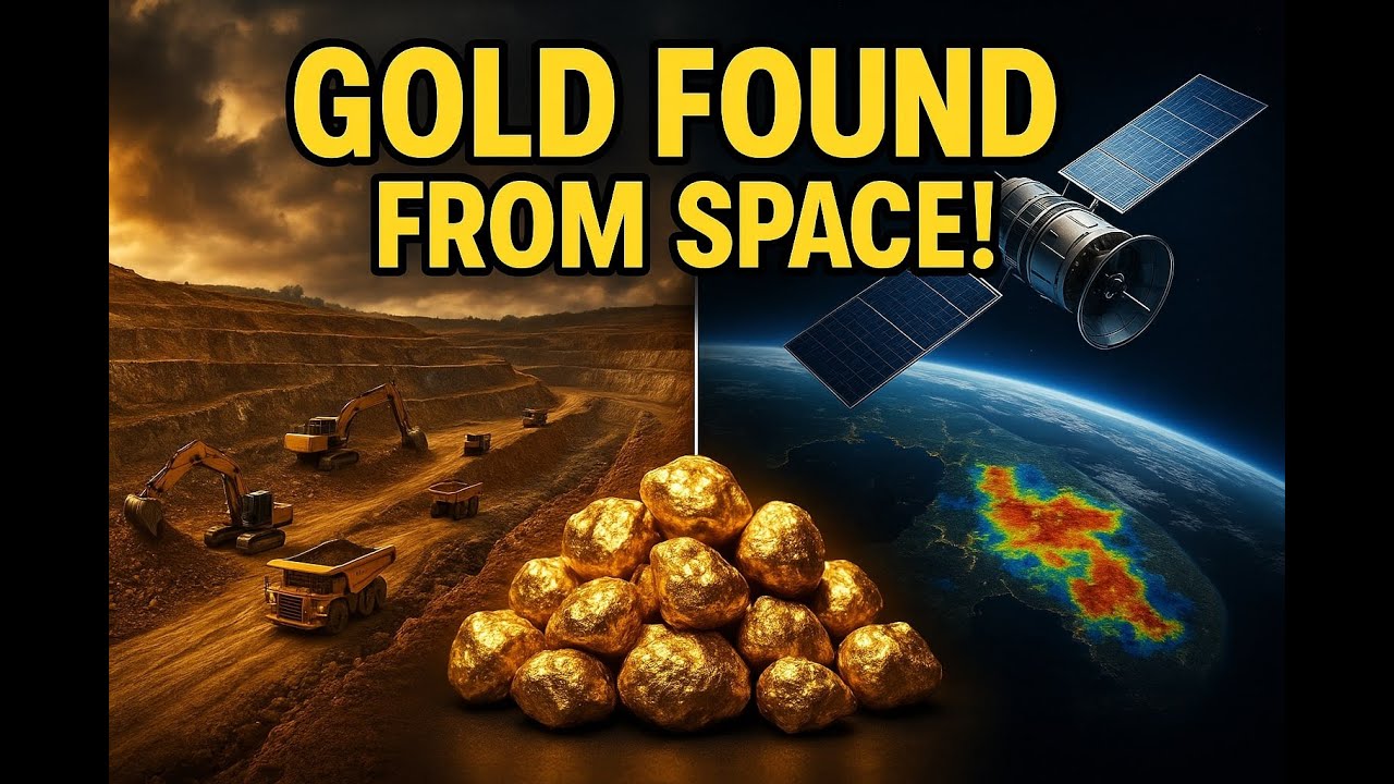
The future of mineral exploration is rapidly advancing thanks to satellite technology and artificial intelligence. Farmonaut, as a leader in satellite data analytics, provides non-invasive, AI-driven mineral intelligence that transforms the conventional, slow, and environmentally intrusive exploration process into a faster, more sustainable, and cost-effective operation.
Here’s what sets Farmonaut’s approach apart:
- Minimizes ground disturbance, protecting soil, watercourses, and wildlife habitats in mineral belts and forested regions.
- Rapidly screens large land areas for gold and other target minerals, providing heatmaps to support early-stage planning and investment decisions.
- Delivers time and cost savings—up to 85% faster and 80% less expensive than ground-based surveys—promoting smarter capital allocation and responsible resource use.
- Empowers local communities, regulators, and mining firms with advanced, map-based intelligence for collaborative land use planning and safeguarding long-term rural ecosystems.
Discover Satellite Driven 3D Mineral Prospectivity Mapping—an innovative service that leverages satellite and AI technologies to build multi-layered prospectivity models of mining sites, supporting exploration teams in making more informed and confident decisions while reducing their environmental and operational risk.
For those considering a project in Canada or interested in scaling sustainable exploration practices globally, Farmonaut’s Satellite-Based Mineral Detection is your gateway to rapid, environmental-first mineral intelligence.
Did You Know?
Ready to Start Your Own Exploration?
Map Your Mining Site Here: https://mining.farmonaut.com
Begin with coordinates, boundaries, or region selection. Our satellite-based mineral intelligence delivers actionable, independent insight without disturbing the land—empowering sustainable mining and regional development planning.
Gold Mining’s Integration with Agriculture, Forestry, and Rural Life
On Canada’s resource-rich landscapes, mining, agriculture, and forestry are not isolated pillars; they are inextricably linked. There is constant interaction and shared responsibility in how land, water, and infrastructure corridors are managed. The largest gold mines in Canada prompt thoughtful land-use planning for adjacent farmers, loggers, and Indigenous communities.
- Collaborative watershed management: Watersheds supporting large mines also irrigate farmland and forest stands. Sustainable water allocation planning protects crop health, soil quality, and downstream users alike.
- Reclaimed land use: Former mining zones are increasingly repurposed for grazing, farm rotations, or mixed-use forestry, provided reclamation standards are achieved.
- Shared infrastructure: Road access, power lines, and logistics infrastructure developed for mining are shared with or benefit rural producers and resource suppliers in nearby communities.
Key Insights & Pro Tips
Achieving a balance between high-scale gold production and long-term agricultural and forest sustainability requires advanced monitoring and transparent stakeholder engagement.
Leverage satellite-based mineral intelligence to pre-screen exploration areas, reducing ground impact and fast-tracking site assessment—see: Map Your Mining Site Here.
Overlooking regional land-use plans when planning mine expansion often leads to regulatory delays and greater downstream environmental risk.
Modern gold producers with best-in-class water recycling, reclamation plans, and community programs consistently outperform on ESG metrics and enjoy stronger long-term social license.
Over 80,000 hectares analyzed globally by Farmonaut shows satellite and AI as frontrunners for the next leap in responsible exploration and regional mineral sector development.
Visual Lists: Benefits, Data, Insights
- ✔ Largest producers drive rural economic resilience by supporting local employment and service supply chains
- 📊 Top mines now recycle over 60% of their process water to reduce watershed pressure and contamination risk
- ⚠ Unplanned expansion without robust stewardship can lead to long-term soil and water degradation
- 🚜 Post-mining lands enable mixed-use grazing and farm operations—a win for regional food supply and restoration
- 🚀 Satellite-driven data empowers smarter investment and faster, lower-risk exploration
- 🌳 Integrated planning with forestry operations helps safeguard wildlife habitats and forest health adjacent to mining belts
- 💧 Water monitoring ensures downstream crop safety for farmers and livestock alike
- 🤝 Cross-sector community planning strengthens rural development and operational resilience
- 🔄 Land reclamation and replanting reverse ecological impacts post-closure
- 🗺️ GIS-based property boundaries and reclamation overlays streamline zoning and regulatory compliance
Considering a project or research in Canada’s mineral sector? Get a Quote here.
For additional questions or tailored solutions, Contact Us.
Frequently Asked Questions (FAQ)
What is the largest gold mine in Canada by current output?
Detour Lake Mine in Ontario holds this title. With annual production often exceeding 20 tonnes, it is among the largest by both output and area.
How do Canadian gold mines manage water use and watershed protection?
Large mines prioritize water recycling, advanced sediment control, and continuous monitoring. They implement closed-loop systems, tailings dewatering, and filtration to minimize impacts on adjacent agricultural and rural water users. Regular reporting and engagement with local stakeholders are industry best practices.
Why is land reclamation important in gold mining?
Reclamation restores ecological function, reduces long-term risks, and supports productive reuse of lands for grazing, forestry, or agriculture. Over 80% of Canadian gold mines now have formal reclamation plans that foster local community sustainability.
How do gold mines interact with agricultural and forestry operations?
Mines share infrastructure (such as roads and pipelines) with adjacent sectors, and careful land-use planning ensures buffer zones, water protection, and soil quality—supporting synergistic regional development.
How can Farmonaut help with sustainable mineral exploration?
We provide satellite-based, AI-powered mineral intelligence that transforms exploration by minimizing disturbance, cutting time and costs, and delivering actionable insights for responsible resource planning. Explore our Satellite Based Mineral Detection Service for more details.
Conclusion: Charting a Sustainable Gold Future
The story of the largest gold mines in Canada is one of vast scale, economic power, and deep-rooted connections to rural, agricultural, and forestry communities. As output remains robust, the imperative for environmental stewardship, water management, and land-use planning grows stronger with every year.
Canada’s mineral sector is evolving. The integration of satellite technology and AI—as demonstrated by Farmonaut’s solutions—places new tools in the hands of regulators, investors, miners, and rural communities, enabling outcomes that support both livelihoods and landscape protection.
By requiring robust monitoring, reclamation, and collaborative planning, Canada leads by example, showing that gold production and regional sustainability are not mutually exclusive. The lessons are clear: sound supply chain management, respect for shared watersheds, and long-term vision are critical foundations for continued prosperity among our forests, farms, and mines alike.
As the world seeks cleaner energy, responsible resource use, and societal resilience, the Canadian blueprint—underpinned by the success and stewardship of its largest gold mines—serves as a guide for mining nations everywhere.

 Berks Gold Limited
 Mwerezi Minerals Company Limited
 Congo Mining Solutions
 Mining SARL
 SenGold Invest SAS
 Sania Corporation
 Sean Mining Limited
 NTS Group (Pty) Ltd
 Mine4Africa
 Lithspo Minerals Limited
 Tintina Mining Group
 Dalgety Minerals Pty Ltd
 Vortex Minerals Pty Ltd
 Faith At Work (Pty) Ltd
 Geotech Mining Solutions plc
 Vulcan International Limited
 Kidepo Associates
 GKY Mining
 Alkimy SARL
 Double A Trading
 GemSprout Metals Limited
 Qader Group
 Ileys General Trading
 SG Gold Mining LLC
 VRV Global Pte Ltd
 Omsri International FZE
 G.I.T.T.
 Jaunita Erss Ltd
