
Aquifer Management: Top Aquifer Zones & Solutions for Sustainable Water, Agriculture, Forestry, and Mining
“Over 30% of the world’s freshwater is stored in aquifers, making their management crucial for sustainable water use.”
Table of Contents
- Introduction: The Importance of Aquifer Management
- Understanding Aquifer Zones: Foundations for Effective Water Resource Management
- Aquifer Zones: Key Features, Challenges & Sustainable Solutions [Comparison Table]
- Aquifer Solutions in Agriculture: Optimizing Irrigation & Maintaining Soil Health
- Aquifer Stewardship in Forestry: Buffer Zones & Groundwater Resilience
- Mining & Aquifer Management: Intelligence, Water Balance, and ESG Compliance
- Technology & Data: Monitoring, Mapping, and Decision Support
- Governance, Community Involvement & Sustainable Aquifer Planning
- Key Insights & Highlights
- FAQs: Aquifer Management, Zones, and Sustainable Solutions
Introduction: The Importance of Aquifer Management
Aquifer management, aquifer zones, and aquifer solutions form the bedrock of sustainable water resource planning for agriculture, forestry, and mining.
Aquifers—subterranean layers storing groundwater—are critical sources of water that support food production, forest ecosystems, and mineral processing. However, the growing demands of modern societies and industries, coupled with climatic unpredictability and increasing extraction, threaten the long-term availability of this invaluable resource.
Effective management of aquifer zones—the defined depths and layers where groundwater resides—ensures reliable water supply, ecosystem protection, and long-term production potential across farming, forestry, and mining.
An integrated approach combines monitoring, zoning, targeted recharge, modern technology, and robust governance, involving all relevant stakeholders in planning and implementation.
Understanding Aquifer Zones: Foundations for Effective Water Resource Management
To unlock sustainable aquifer management, it’s essential to understand aquifer zones: their structure, boundaries, and behavior. Aquifer zones are typically classified based on depth, connectivity to the surface, and physical properties like hydraulic conductivity and storage capacity.
- ✔ Shallow (Unconfined) Aquifers: Directly beneath the surface, closely linked with rainfall and surface runoff. Often susceptible to contamination, but quickly responsive to recharge events.
- ✔ Intermediate Aquifers: Located between shallow and deep zones; partially confined or semi-confined, often acting as buffers in water supply.
- ✔ Deep (Confined) Aquifers: Separated from the surface by impermeable geological layers; store large volumes, respond slowly to rainfall, human withdrawals, or recharge.
Delineating aquifer boundaries, hydraulic conductivity, recharge rates, and storage coefficients
enables precise planning for
irrigation, forestry water needs, dust suppression, and mineral processing in mining.
Effective management prevents overextraction, which can lead to:
- Subsidence (land sinking due to groundwater depletion),
- Saline intrusion (particularly in coastal zones),
- Reduced water availability for agriculture, forestry, and mining.
Understanding these layers and their natural interactions empowers stakeholders to implement robust aquifer solutions.

Aquifer Zones: Key Features, Challenges & Sustainable Solutions
| Aquifer Zone | Characteristics | Major Uses | Common Challenges | Sustainable Solutions |
|---|---|---|---|---|
| Shallow (Unconfined) | Depth: 5-50m; Rapid recharge; Vulnerable to surface contamination & evaporation | • Agriculture (irrigation, livestock) • Forestry (root zone supply) • Limited mining uses (dust control) |
• Over-extraction • Pollution • Fluctuating recharge rates |
• Managed Aquifer Recharge (MAR) • Efficient irrigation (drip, sensors) • Frequent monitoring |
| Intermediate | Depth: 50-200m; Semi-confined; Moderate yield; Acts as buffer | • Backup supply for agriculture & mining • Forestry (in deep-rooted trees) • Supplemental resource |
• Reduction in recharge • Drawdown risk • Connectivity uncertainty |
• Buffer zone protection • Multi-level monitoring • Seasonal withdrawal controls |
| Deep (Confined) | Depth: >200m; Under pressure; Slow recharge; Large volume storage | • Mineral processing (mining) • Critical drought supply • Industrial/agricultural backup |
• Slow replenishment • Subsidence & salinity intrusion • High-energy extraction |
• Limit withdrawal rates • Phased extraction • Artificial recharge (treated, quality-controlled) |
This table provides a quick comparison, informing aquifer management strategies that balance present and future water needs for agriculture, forestry, and mining.
Aquifer Solutions in Agriculture: Optimizing Irrigation & Maintaining Soil Health
Agriculture is the largest global user of groundwater from aquifers. Yet, indiscriminate extraction, poor irrigation scheduling, and lack of recharge can deplete zones, reduce yields, and threaten long-term viability.
Sustainable Aquifer Management in Farming
- ✔ Zoned Irrigation Planning: Allocate water use according to groundwater availability in each zone. Prioritize drought-tolerant crop varieties where aquifers are under stress.
- ✔ Optimized Withdrawal Scheduling: Time pumping to align with critical crop growth stages, avoiding peak withdrawal that may drop water levels or risk root zone stress.
- ✔ Soil Moisture Sensors: Use real-time soil moisture data to guide irrigation—reducing water lost to evaporation or overwatering.
- ✔ Mulching and Cover Cropping: Enhance infiltration, conserve moisture, and limit runoff, promoting soil health with fewer withdrawals from stressed aquifer layers.
- ✔ Managed Aquifer Recharge (MAR): MAR techniques—like temporary surface spreading, infiltration basins, or injecting treated wastewater—help replenish depleted zones, boost root zone quality, and support agriculture during dry periods. Contact Us for more about monitoring recharge effects in your region.
Implementing a layered approach—with shallow, frequent recharge and deeper, less frequent withdrawals—helps maintain sustainable yield over many seasons. Farmers can further benefit by integrating climate data, crop calendars, and groundwater monitoring into their operational planning for stable yields and reduced costs.

- 🌱 Efficient irrigation reduces pressure on shallow aquifers
- 📊 Real-time data from sensors enhances decision-making
- ⚠ Over-extraction is a major risk if periodic audits aren’t performed
- 💡 MAR strategies increase recharge rates by up to 25% in intensive agriculture
- 🛡 Protecting upper aquifers guards against root zone contamination
Aquifer Stewardship in Forestry: Buffer Zones & Groundwater Resilience
Forestry operations rely on aquifers for regenerating stands, supporting plant health, and building wildfire resilience. Forest landscapes typically interact most with shallow and intermediate aquifer zones. Good management ensures that recharge areas—often forested uplands or buffer strips—remain intact, promoting healthy infiltration and steady water supply.
Integrating Aquifer Solutions in Forest Management
- ✔ Root Zone Mapping: Understand which aquifer zones provide water to tree roots, especially in mixed-species stands or drought-prone areas.
- ✔ Protecting Buffer Zones: Maintain vegetative cover and minimize borehole development around key recharge features or riparian corridors.
- ✔ Agroforestry & Reforestation: Incorporate tree species with deep rooting capacity, increase soil structure and infiltration, and reduce surface runoff.
- ✔ Prioritizing Conservation: Safeguard sensitive recharge features and buffer zones to preserve baseflow even during dry seasons—and support biodiversity.
- ✔ Monitoring: Periodic groundwater data collection informs water planning for drought resilience and harvest scheduling.

- 🌳 Reforestation enhances infiltration and recharge rates
- 🛑 Buffer strips filter surface contaminants from runoff
- 🧐 Borehole control prevents drawdown in adjacent aquifers
- 📆 Align forest calendars to critical groundwater periods
- 🦉 Wildlife corridors safeguarded by buffer conservation
“Sustainable aquifer management can increase groundwater recharge rates by up to 25% in agriculture-intensive regions.”
Mining & Aquifer Management: Intelligence, Water Balance, and ESG Compliance
Mining operations have unique and stringent water requirements for mineral processing, dust suppression, and worker safety. Responsible aquifer management in mining combines accurate zone mapping, water balance modeling, closed-loop processing, and strong monitoring protocols to protect water resources—all aligned with evolving environmental, social, and governance (ESG) standards.
Key Aquifer Management Strategies for Mining
- 👉 Zone Delineation: Identify aquifer boundaries and recharge/discharge dynamics with satellite-derived data and borehole logs.
- 👉 Drawdown Modeling: Quantify withdrawal rates and simulate impacts over time to prevent unintended lowering of water tables or interference with nearby wells and ecosystems.
- 👉 Closed-Loop Water Systems: Recycle and treat process water to minimize fresh aquifer withdrawals.
- 👉 Phased Dewatering: Implement extraction in stages, with adaptive controls if water levels approach critical thresholds.
- 👉 Artificial Recharge: Return treated water to aquifers via infiltration basins or recharge trenches.
- 👉 Real-Time Monitoring: Deploy sensors in monitoring wells for early warning of aquifer pressure changes, contamination, or subsidence risks.

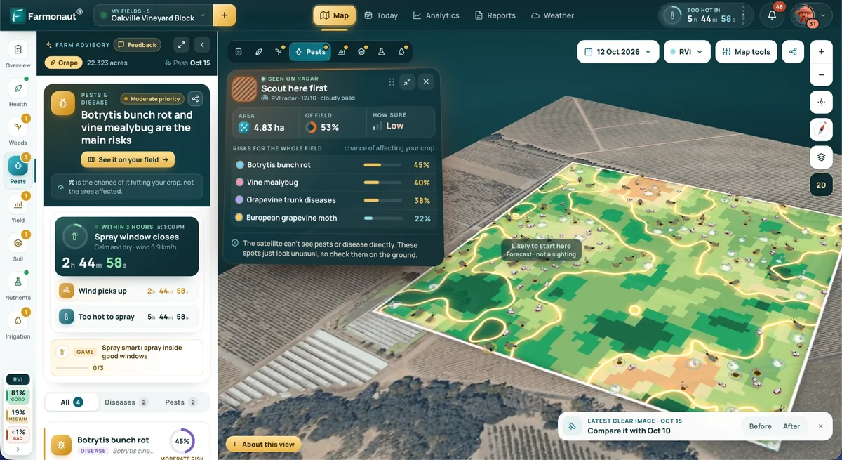
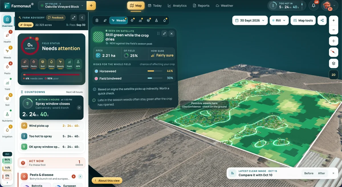
Farmonaut offers advanced satellite-based mineral detection, streamlining the mapping of mineralized targets and alteration zones—crucial for early-stage exploration and environmentally responsible site selection. This approach markedly reduces the need for invasive hydrogeological drilling in the initial stages, contributing to aquifer protection and faster, more cost-efficient mineral prospecting.

Farmonaut’s satellite-driven 3D mineral prospectivity mapping—see this sample—can drastically enhance the precision of exploration campaigns. Mapping critical aquifer and mineral zones in 3D reduces overextraction risks, guides optimal drilling locations, and supports robust water management as sites move from exploration to extraction.

To incorporate satellite intelligence, Map Your Mining Site Here:
mining.farmonaut.com
– Upload your coordinates for a rapid, ESG-aligned assessment of mineral and aquifer zones.
Technology & Data: Monitoring, Mapping, and Decision Support for Aquifer Solutions
Modern aquifer management harnesses cutting-edge monitoring tools, remote sensing, and analytics to deliver actionable understanding of aquifer zones and optimize water resource sustainability.
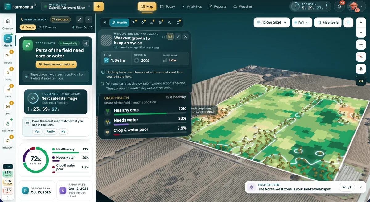
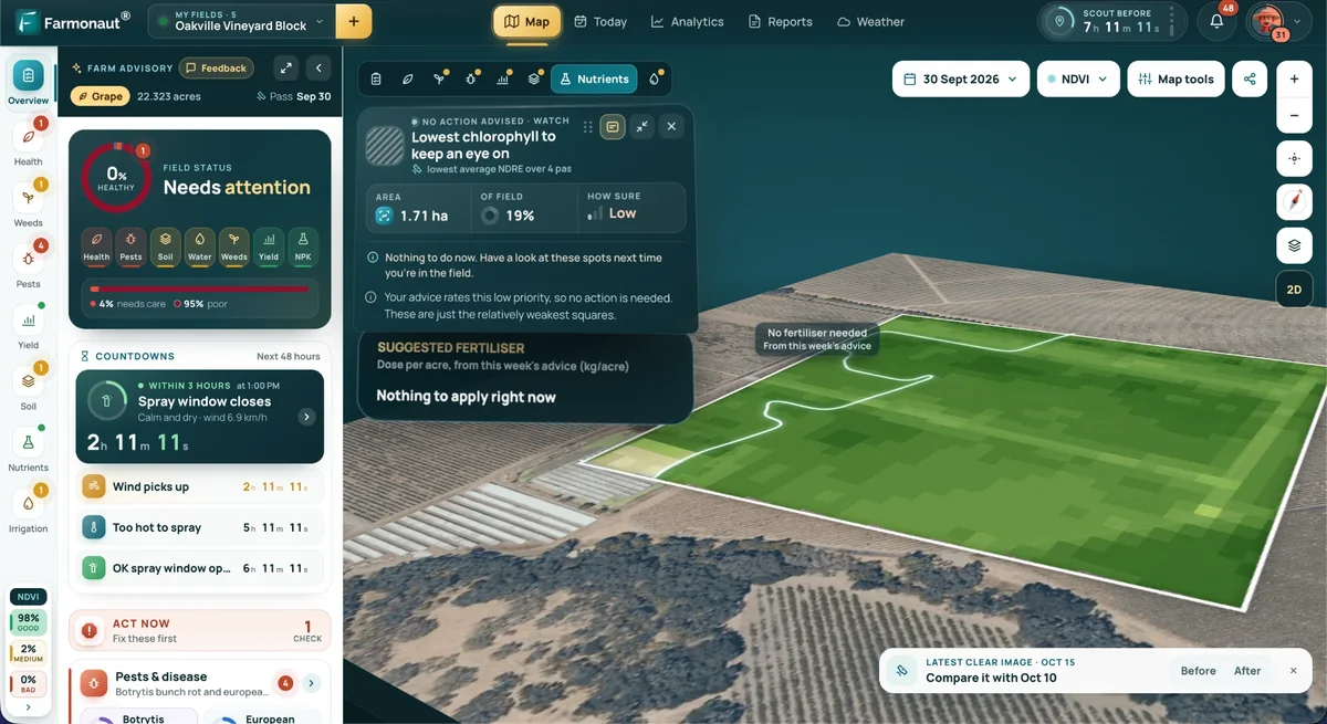
- ✔ Remote Sensing & Satellite Analytics: Multispectral and hyperspectral imagery identify water table dynamics, recharge/discharge zones, contamination plumes, and even subsurface mineralization—all supporting precise aquifer solutions. Learn more about Farmonaut’s platform for aquifer mapping integrated with mineral intelligence.
- ✔ Piezometer Networks: Borehole logging and groundwater level sensors track changes in extraction, pressure, and storage coefficients—in real time for adaptive management.
- ✔ Soil Moisture & Weather Stations: Data integrates with crop and mining calendars to improve irrigation, dust suppression, or dewatering planning.
- ✔ Decision-Support Systems (DSS): Combine technology and hydrological models to create robust, multi-scenario groundwater management plans.
- ✔ Transparent Reporting: Regular audits, quality controls, and independent verification instill trust among stakeholders—farmers, forestry operators, mining companies, and local communities.

- 📶 Sensor integration enables automated threshold alerts
- 🔬 Hydrogeological mapping minimizes environmental impacts
- 📈 Continuous monitoring detects drawdown risks early
- 🧩 Data transparency encourages community collaboration
- ⏱ Faster exploration preserves aquifer health and reduces costs
Governance, Community Involvement & Sustainable Aquifer Planning
The best aquifer management, aquifer zones, and aquifer solutions strategies are grounded in robust governance frameworks and active participation from all community stakeholders. Long-term resilience depends on aligning stakeholder interests, regulatory compliance, and science-based groundwater protection.
Elements of Sustainable Aquifer Governance
- ✔ Regional Aquifer Management Plans: Incorporate hydrological data, groundwater zoning, and water rights to coordinate farming, forestry, and mining calendars.
- ✔ Land-Use Controls: Restrict impermeable surfaces, promote soil conservation, and reduce surface runoff—boosting infiltration and recharge.
- ✔ Economic Incentives: Reward ecosystem service provision—such as payments for recharge zone conservation or credits for MAR activities—which increase long-term yields and reduce extraction costs.
- ✔ Transparent Collaboration: Involve community groups, water user associations, and industry partners early in the planning process.
- ✔ Regulatory Oversight: Set safe withdrawal limits, enforce regular reporting, and monitor critical aquifer zones for compliance.

Key Insights, Pro Tips & Highlights
- Aquifer management is fundamentally about balancing withdrawals and recharge to sustain economic, ecological, and social systems.
- Mapping and monitoring all aquifer zones—from shallow to deep—is essential to prevent surprises from overextraction, contamination, or slow recharge.
- Technology offers powerful tools (remote sensing, piezometers, analytics) to drive precision in aquifer solutions.
- Community engagement and clear governance help align diverse interests toward shared groundwater sustainability.
-
Farmonaut’s satellite intelligence transforms early-stage mineral exploration, minimizing aquifer impacts and streamlining responsible mining.
Get a tailored quote for your mining project today.
Frequently Asked Questions: Aquifer Management, Zones, and Sustainable Solutions
What is aquifer management and why is it critical?
Aquifer management refers to the proactive planning, monitoring, and regulation of groundwater stored in subsurface layers (aquifers) to ensure sustainable supply for agriculture, forestry, mining, and communities. Its goals are to maintain the balance between extraction and recharge, protect water quality, and support ecosystem health.
How are aquifer zones defined?
Aquifer zones are defined by depth (shallow, intermediate, deep), geological structure (confined, unconfined), and hydrological characteristics (recharge responsiveness, storage capacity, connectivity). Understanding these factors is foundational for targeted zoning and sustainable water planning.
What are common risks associated with poor aquifer management?
Risks include overextraction (leading to land subsidence and reduced yields), contamination (from agricultural runoff, mining, or urban sources), slow recharge (especially in deep/ confined aquifers), and saline intrusion (in coastal areas). Regular monitoring, efficient irrigation, and recharge strategies are key prevention methods.
How does managed aquifer recharge (MAR) work?
MAR involves replenishing depleted aquifer zones by spreading surface water, creating infiltration basins, or injecting treated water. It boosts groundwater availability during dry periods and protects root zone quality in agricultural landscapes.
How does Farmonaut support sustainable mining and aquifer management?
We at Farmonaut provide satellite-based mineral detection and 3D prospectivity mapping, identifying mineralized target zones, alteration patterns, and aquifer boundaries without ground disturbance. This approach shortens exploration timelines, reduces costs, minimizes aquifer impacts, and supports ESG compliance for responsible, data-driven mining projects.
Conclusion: Safeguarding Our Water Future Through Smart Aquifer Solutions
By coupling accurate aquifer zone delineation, targeted recharge and withdrawal planning, data-driven monitoring, and inclusive governance, aquifer management enables sustained agricultural productivity, forest and habitat resilience, and responsible mineral extraction.
Advanced technology such as Farmonaut’s satellite-driven analytics is making the process faster, smarter, and more sustainable—empowering stakeholders to face tomorrow’s water and resource challenges with confidence.
- 🌍 For advanced mineral mapping and non-invasive exploration, visit our Satellite-Based Mineral Detection product page to learn more.
- 🗺 Ready to map your mining site using the most robust, non-invasive exploration methods? Click here to get started.
- 📝 Request a quote for customized mineral intelligence and aquifer mapping: Get Quote
- 📞 Questions? Contact Us and see how we can help your team make aquifer-smart decisions.
Protecting our aquifers means securing our food, forests, minerals, and communities. Let’s make sustainable aquifer management the standard—today, and for generations to come.
Discussion
Questions, corrections or field experience? Share them below. First-time comments are reviewed before they appear, and your email is never published.
No comments yet. Be the first to add a question or your experience.

 Mine4Africa
 Lithspo Minerals Limited
 Tintina Mining Group
 Dalgety Minerals Pty Ltd
 Vortex Minerals Pty Ltd
 Faith At Work (Pty) Ltd
 Geotech Mining Solutions plc
 Vulcan International Limited
 Kidepo Associates
 GKY Mining
 Alkimy SARL
 Double A Trading
 GemSprout Metals Limited
 Qader Group
 Ileys General Trading
 SG Gold Mining LLC
 VRV Global Pte Ltd
 Omsri International FZE
 G.I.T.T.
 Jaunita Erss Ltd
 Almosi SARL
 SRK Consulting
 Berks Gold Limited
 Mwerezi Minerals Company Limited

 Exploration consultancy · South Africa · Gold