

Silver mining · Mine locations
First Majestic Silver Mines: Locations and Output
First Majestic runs four producing silver mines in Mexico, in Chihuahua, Durango, Sonora and Coahuila, and is restarting Jerritt Canyon in Nevada. This page shows where each is, who owns it and what it produced.
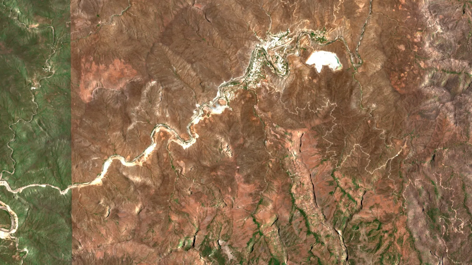
Key takeaways
- Four producing mines, all in Mexico: Los Gatos (Chihuahua, 70% owned), San Dimas (Durango), Santa Elena (Sonora) and La Encantada (Coahuila) (First Majestic Q2 2026 report).
- Q3 2026 attributable silver: Los Gatos 1,245,178 oz, La Encantada 967,067 oz, San Dimas 859,869 oz, Santa Elena 368,333 oz (First Majestic, 8 October 2026).
- Jerritt Canyon in Nevada is a gold mine under restart, with production targeted for the second half of 2027 (First Majestic, October 2026).
- Sold or idle: La Guitarra and La Parrilla (2023), Del Toro (June 2026); San Martin is under a US$90 million deferred-payment sale agreement (July 2026).
- Mexico mined an estimated 6,300 tonnes of silver in 2025, the most of any country (USGS, 2026).
In this article
- First Majestic silver mines at a glance
- How much silver each mine produces
- Mine-by-mine notes
- Former First Majestic mines: sold, idle or closed
- Silver reserves by mine
- Where Mexico ranks in world silver
- Company facts: CEO, ownership and recent changes
- Estimate a mine's silver output
- How to check a mine's location and status yourself
- Frequently asked questions
First Majestic Silver Corp. runs four producing underground mines in Mexico and is restarting a gold mine in Nevada. The Mexican mines are Los Gatos in Chihuahua, San Dimas in Durango, Santa Elena in Sonora and La Encantada in Coahuila, as the company’s second-quarter 2026 report lists them. The Nevada mine is Jerritt Canyon, which the company expects to put back into production in the second half of 2027. This page gives each location, who owns it, how much silver it made in the third quarter of 2026, what is sold or idle, and a calculator to estimate silver output from your own numbers.
Terms used below. Grade is the amount of metal in the rock, here in grams per tonne (g/t). Recovery is the share of that metal the plant actually captures. tpd means tonnes per day of ore milled. Attributable means the company’s own share: at Los Gatos that is 70%. AgEq is silver-equivalent ounces, where gold, zinc, lead and copper are converted to silver at the company’s stated metal prices. A mineral reserve is the part of a deposit shown to be economic to mine (see the CIM definition standards); a mineral resource is mineralised rock with reasonable prospects of being mined but not yet shown to be economic.
First Majestic silver mines at a glance
The table lists every mine the company operates or is restarting, with its location and ownership as stated in its own filings. Status is as of the third-quarter 2026 production release dated 8 October 2026 (see the release).
Chart
Silver produced in Q3 2026 by mine
Thousand ounces; Los Gatos on a 70% attributable basis
| Mine | Location | Ownership | Main metals | Status |
|---|---|---|---|---|
| Los Gatos | Chihuahua State, Mexico; about 103,000 hectares of mineral rights | 70% First Majestic, 30% Dowa Metals & Mining of Japan | Silver, zinc, lead, copper | Producing |
| San Dimas | Durango State, Mexico; 71,867 hectares of claims | 100% | Silver, gold | Producing |
| Santa Elena | Sonora State, Mexico; about 150 km northeast of Hermosillo; 102,244 hectares of concessions | 100% | Silver, gold | Producing |
| La Encantada | Coahuila State, Mexico; 4,076 hectares of mining rights | 100% | Silver | Producing |
| Jerritt Canyon | Nevada, USA | 100% | Gold | Restart planned for the second half of 2027 |
Land areas, ownership shares and the La Encantada mill size come from the company’s own site and its quarterly report. Hectares are the size of the mining rights, not the size of the pit or the underground workings, which are far smaller.
How much silver each mine produces
In the third quarter of 2026 the four Mexican mines together produced 3.4 million ounces of silver, 29,552 ounces of gold, 13.3 million pounds of zinc, 7.8 million pounds of lead and 221,111 pounds of copper, on the company’s attributable basis. The company said year-to-date silver output reached 72% of the midpoint of its revised 2026 guidance and blamed a 12-day labour dispute at San Dimas for much of the shortfall (First Majestic, 8 October 2026).
Chart
Quarterly silver output by mine, 2026
Thousand ounces; Los Gatos on a 70% attributable basis
The ranking changed during 2026. San Dimas fell from 1,177,686 ounces in the first quarter to 859,869 in the third, while La Encantada rose from 829,081 to 967,067, so by the third quarter La Encantada had passed San Dimas. Santa Elena makes less silver than the others but is the largest gold producer in the group, with 18,489 ounces of gold in the third quarter. The quarterly figures for the first two quarters come from the first-quarter and second-quarter releases.
Mine-by-mine notes
Los Gatos, Chihuahua
Los Gatos is a high-grade underground silver mine that has operated since 2019. First Majestic did not build it: the company obtained its 70% interest when it completed the purchase of Gatos Silver on 16 January 2025 (completion notice). The mine sells zinc and lead concentrates that contain payable silver, and the company reports that zinc and lead supply about 75% and 25% of the mine’s revenue. In the third quarter the mill processed 226,689 tonnes at a head grade of 200 g/t silver, with silver recovery of 86%. Drilling there is testing the Central Deeps, Northwest Deeps and Southeast Deeps zones.
San Dimas, Durango
San Dimas is a silver and gold vein district that First Majestic acquired in May 2018 with Primero Mining. It is the cornerstone asset in the portfolio. In the third quarter it produced 859,869 ounces of silver and 10,386 ounces of gold, down 41% and 26% from a year earlier, with an average silver grade of 133 g/t. The company says the fall came from reduced grades during a labour dispute that slowed fresh ore. The mine is subject to a gold-and-silver streaming agreement under which a streaming partner receives 25% of gold-equivalent output at a fixed price per ounce.
Santa Elena, Sonora
Santa Elena is a single processing plant fed by two underground mines, Santa Elena and Ermitaño. A 3,500 tpd mill expansion is under way, and August 2026 set a monthly record of 104,000 tonnes milled. The Santo Niño discovery added 27.4 million silver-equivalent ounces of inferred resources, and the company received construction permits for Santo Niño and Navidad in June 2026. Royal Gold holds a stream on 20% of the mine’s gold.
La Encantada, Coahuila
La Encantada has been in the portfolio since 2006 and has a 4,000 tpd cyanidation mill. It had the biggest gain in the group: 967,067 ounces of silver in the third quarter, up 68% on a year earlier as ore processed rose 27% and grade climbed from 100 g/t to 132 g/t. Silver recovery was 66%.
Jerritt Canyon, Nevada
First Majestic bought Jerritt Canyon in 2021 and suspended mining there on 20 March 2023 because mining rates stayed below 3,000 tpd and costs ran higher than planned (company notice). On 2 April 2026 it announced a restart plan. By the third quarter it had completed 5,965 metres of underground rehabilitation in 2026 and chosen a vertical roller mill for the plant. Jerritt Canyon produces gold, so it does not add to the silver totals above.
▶ Follows gold from rock to ring: found, drilled, crushed, dissolved, melted and refined, the process behind a mine like Jerritt Canyon. · 5:27
Former First Majestic mines: sold, idle or closed
Older web pages still list mines the company no longer runs. The company’s own news list shows these changes (news archive).
- La Guitarra: the sale to Sierra Madre closed on 30 March 2023.
- La Parrilla: the sale closed on 14 August 2023, after a proposed price of up to US$33.5 million was announced.
- Del Toro, Chalchihuites, Zacatecas: Sierra Madre completed the purchase in June 2026 for up to US$60 million, of which US$30 million was received up front and US$30 million is contingent (Q2 2026 release).
- San Martin, Jalisco: placed under care and maintenance in July 2019. A sale agreement dated 6 July 2026 values it at US$90 million in total, but only US$2.5 million is paid at closing and the rest is deferred, with the last US$35 million due on 31 August 2032. Closing needs Mexican antitrust approval and was expected in the fourth quarter of 2026 (sale notice).
The company also owns a silver stream, not a mine, on the Springpole gold project about 110 km northeast of Red Lake, Ontario. It buys 50% of the payable silver at 33% of the spot price, capped at US$7.50 per ounce (company page).
One correction for readers who arrive from older articles: First Majestic has no mine called the Majestic Mine. The company name is not a mine name, and no operation in its reserve statement or quarterly reports uses it.
Silver reserves by mine
Reserves tell you how long a mine can keep producing at today’s economics. The company’s estimate, effective 31 December 2025, used a silver price of US$35 per ounce for reserves and US$38.50 for resources (reserve and resource release, 31 March 2026). Across the four Mexican mines, proven and probable reserves were 184.8 million AgEq ounces, and measured and indicated resources, which include the reserves, were 652.8 million AgEq ounces. Inferred resources, which are the least certain, were 592.3 million AgEq ounces. Los Gatos figures are the 70% share.
Chart
Silver in proven and probable reserves
Million ounces, effective 31 December 2025; Los Gatos at 70%
Reserves and resources are estimates made under Canadian standards (National Instrument 43-101). Resources that are not reserves do not show that mining would pay.
Where Mexico ranks in world silver
Mexico is the world’s largest silver-producing country, and the Silver Institute reports it was the leading silver mine-producing country in 2024. The U.S. Geological Survey estimates Mexican mine output at 6,300 tonnes in 2025, ahead of Peru at 3,600 tonnes and China at 3,400 tonnes, out of about 26,000 tonnes worldwide (USGS Mineral Commodity Summaries 2026). For the other large silver producers see our guide to the top silver-producing companies and our note on Mexico as a silver producer. First Majestic’s own Mexican output, 14.6 to 15.5 million ounces on 2026 guidance, equals roughly 450 to 480 tonnes, a small share of that national total.
Chart
Mine silver production, selected leading countries
Tonnes of contained silver
Company facts: CEO, ownership and recent changes
Keith Neumeyer is chief executive officer and signs the company’s releases. In 2026 the company named David Howe chief operating officer from 4 May, replacing the retiring Steve Holmes, and appointed Alex Thompson managing director of Jerritt Canyon from 20 April (first-quarter results). The company trades as AG on the New York Stock Exchange and the Toronto Stock Exchange. It reports more than 5,100 employees and cash of US$1,253 million at 30 June 2026 including restricted cash (Q2 2026 results and company site).
On sustainability, the company reports a score of 50 in S&P Global’s 2026 Corporate Sustainability Assessment, which it says places it in the top 17% of mining companies, and a consolidated lost-time injury frequency rate of 0.10 in the third quarter. These are the company’s own statements. It reports guidance of 14.6 to 15.5 million ounces of silver and 128,000 to 135,000 ounces of gold for 2026, which it raised in July. Nothing here is a forecast or advice on the shares.
Estimate a mine’s silver output
Annual silver ounces equal tonnes milled per day, times operating days, times grade in grams per tonne, times recovery, divided by 31.1035 grams per troy ounce. The calculator below applies that formula. The defaults are round examples, not any First Majestic mine. For context, Los Gatos reported a head grade of 200 g/t and recovery of 86% in the third quarter, while San Dimas reported 133 g/t and 88%.
Calculator
How many ounces of silver does a mill recover?
Enter your own milling rate, grade, recovery and silver price.
- Silver recovered per quarter (oz): 1,076,044
- Gross silver revenue per year (US$): $172,167,119
Example values only, not any First Majestic mine and not a forecast. The silver price is an input: example, use today’s price (US$ per troy ounce). Revenue is before smelter terms, royalties, streams, costs and tax. Fixed constant: 31.1035 grams per troy ounce.
How to check a mine’s location and status yourself
- Open the company’s latest quarterly report and read the mining-interests note; it states the state or province and any royalties or streams.
- Read the newest production release for the status words: producing, care and maintenance, or sold.
- Open the mine’s technical report on the Canadian filing system SEDAR+ for coordinates, concession numbers and the qualified person who signed the estimate.
- Check dates. A news item older than the latest annual report may describe an asset that has since been sold, as with Del Toro and La Parrilla.
- Look at the site on recent satellite imagery to see the pit, plant and tailings footprint against the concession boundary.
Satellite screening is also used before drilling to rank targets on a licence area. Farmonaut offers satellite-based mineral detection as a paid analysis; you can request a quote first. The results are exploration targets, not a resource estimate.
▶ Explains remote sensing for mining: the six instrument families that measure ground from a distance. · 2:01
Frequently asked questions
Where are First Majestic Silver’s mines?
Four producing mines are in Mexico: Los Gatos in Chihuahua, San Dimas in Durango, Santa Elena in Sonora and La Encantada in Coahuila. Jerritt Canyon, a gold mine being restarted, is in Nevada.
Which First Majestic mine produces the most silver?
In the third quarter of 2026 Los Gatos led with 1,245,178 attributable ounces, followed by La Encantada with 967,067 and San Dimas with 859,869. Second and third place switched between San Dimas and La Encantada during 2026.
Does First Majestic own all of Los Gatos?
No. It holds 70%, and Dowa Metals & Mining of Japan holds the other 30%. The company reports Los Gatos production on a 70% attributable basis.
What happened to La Parrilla, Del Toro, San Martin and La Guitarra?
La Guitarra and La Parrilla were sold in 2023. Del Toro was sold to Sierra Madre in June 2026. San Martin is under a sale agreement signed in July 2026 that was expected to close in the fourth quarter of 2026.
Is Jerritt Canyon producing?
Not yet. Mining was suspended in March 2023. The company says production is on track to begin in the second half of 2027.
Who is the CEO of First Majestic Silver?
Keith Neumeyer is CEO and signs the company’s 2026 releases.
Is there a First Majestic mine called the Majestic Mine?
No. The company’s reserve statement, quarterly reports and mine pages list no operation by that name.
How much silver does First Majestic produce in a year?
The company’s guidance for 2026 is 14.6 to 15.5 million ounces of silver, raised in July 2026. Its quarterly silver output was 3.5, 3.8 and 3.4 million ounces in the first three quarters.
What is Mexico’s share of world silver output?
USGS estimates Mexico mined 6,300 tonnes in 2025, the highest of any country, out of about 26,000 tonnes worldwide.
Where can I check a mine’s exact coordinates?
Use the technical report filed on SEDAR+ for the mine. It lists coordinates, concession numbers and the qualified person.
This page is for information only. It is not investment advice. Production, ownership and sale terms are the company’s own statements as dated above and can change.
Farmonaut mining
Map your own project area from space
Send your licence polygon and we quote a satellite screening report that ranks exploration targets ahead of drilling.

Mining Pro sample view, synthetic data
Keep reading

Sources
- First Majestic Silver Corp., company website (mine pages, 2026): firstmajestic.com
- First Majestic, Q3 2026 production results (8 October 2026): firstmajestic.com
- First Majestic, Q2 2026 production results (8 July 2026): newsfilecorp.com
- First Majestic, Q1 2026 production results (April 2026): newsfilecorp.com
- First Majestic, Q2 2026 quarterly report and MD&A: firstmajestic.com
- First Majestic, 2025 Mineral Reserve and Mineral Resource Estimates (31 March 2026): firstmajestic.com
- First Majestic, San Martin sale agreement (7 July 2026): newsfilecorp.com
- First Majestic, completion of Gatos Silver acquisition (16 January 2025): newsfilecorp.com
- First Majestic, suspension of mining at Jerritt Canyon (20 March 2023): firstmajestic.com
- First Majestic, Springpole silver stream page: firstmajestic.com
- First Majestic, Q1 2026 results and news archive (management changes, sale dates): firstmajestic.com
- USGS, Mineral Commodity Summaries 2026: Silver: pubs.usgs.gov
- Ontario Securities Commission, National Instrument 43-101: osc.ca
- Silver Institute, silver supply and demand: silverinstitute.org
- CIM, Definition Standards for Mineral Resources and Mineral Reserves (2014): mrmr.cim.org
- First Majestic, Q2 2026 financial results and dividend (30 July 2026): newsfilecorp.com
Discussion
Questions, corrections or field experience? Share them below. First-time comments are reviewed before they appear, and your email is never published.
No comments yet. Be the first to add a question or your experience.

 Rains of Favour
 Tintina Mining Group
 Dalgety Minerals Pty Ltd
 Vortex Minerals Pty Ltd
 Faith At Work (Pty) Ltd
 Geotech Mining Solutions plc
 Vulcan International Limited
 Kidepo Associates
 GKY Mining
 Alkimy SARL
 Double A Trading
 GemSprout Metals Limited
 Qader Group
 Ileys General Trading
 SG Gold Mining LLC
 VRV Global Pte Ltd
 Omsri International FZE
 G.I.T.T.
 Jaunita Erss Ltd
 Almosi SARL
 SRK Consulting
 Berks Gold Limited
 Mwerezi Minerals Company Limited
 Exploration consultancy · South Africa · Gold










