

Table of Contents
- California’s Gold Deposits 2026: A Quick Overview
- Trivia: Advanced Mapping Insights
- Geological Context of Gold Deposits in California
- Modern Mapping Technologies & Gold Deposits in California Map (2025-2026)
- Comparative Locations & Technology Table: Major Gold Deposits
- 2026 Trends: Gold Mining, Exploration, and Sustainable Practices
- Satellite Intelligence: How Farmonaut Transforms Gold Exploration
- Industry Callouts: Tips, Insights, and Investor Notes
- Gold Deposits in California Map: County-by-County Analysis
- Mining Operations, Water Use & Environmental Management
- FAQ: Top Gold Deposit & Mining Questions for California 2026
Gold Deposits California: 2026 Map & Locations
California’s Gold Deposits: An Overview for 2025 & Beyond
California’s rich history is deeply intertwined with gold, a natural resource that catalyzed one of the largest migrations and economic booms in 19th-century America. Today, the state remains a significant area of interest for gold exploration, mining, and sustainable resource development. As we approach 2026, understanding the distribution of gold deposits California—with the aid of modern mapping technologies, detailed geological surveys, and innovative satellite-based exploration—has never been more essential for stakeholders, environmental planners, and the broader mining community.
Geological Context of Gold Deposits California: Foundations & Patterns
The underlying geology of California is both complex and fascinating—a story literally millions of years in the making. Most gold deposits california originate from the Sierra Nevada mountain range. This geologically complex area has been formed through tectonic activity, giving rise to a variety of gold concentrations.
- Sierra Nevada’s Mother Lode Belt: The most famous region for gold, stretching approximately 120 miles along the western slope, with a series of quartz veins and fault systems.
- Placer Deposits: Gold particles concentrated by ancient riverbeds, stream beds, and sediment terraces—these were the initial targets during the California Gold Rush.
- Fault Systems: Complex networks of faults and mineralized quartz veins create rich zones for both historical and ongoing mining.
- Additional Minerals: In addition to gold, valuable minerals such as silver, copper, and rare earth elements are often found in proximity.
The interplay of tectonic activity, ancient water flows, and regional geology has created a unique landscape where gold remains both accessible and a continual source of interest for new mining and exploration.

Modern Mapping Technologies & Gold Deposits in California Map (2025-2026)
The era of hand drawn mineral maps is long gone. In 2026, gold deposits california are being mapped with a precision unimaginable during the Gold Rush. Mapping today uses a synergy of satellite imagery, geophysical surveys, geochemical analyses, and AI-driven data platforms to elucidate the exact locations and extent of known and potential gold deposits.
Key mapping technologies in use across California’s gold regions:
- High-resolution satellite imagery (e.g., Farmonaut’s advanced remote sensing solutions)
- Drone-based 3D modeling and LIDAR scanning
- Geochemical sampling integrated with digital GIS platforms
- Geophysical surveys (magnetics, gravity, resistivity) to identify underground structures and mineralized veins
- Remote analysis of hydrology and land patterns with AI algorithms
As a result, California’s latest gold deposits in California map for 2026 provides not only gold deposit locations, but also detailed geological characteristics, water resource management implications, and regional land use patterns for more environmentally considerate mining decisions.

Today’s gold deposits california mapping integrates instant satellite data, reducing months of manual survey labor to mere days—enabling rapid, cost-effective, and environmentally responsible mineral discovery.
Comparative Locations & Technology Table: Major Gold Deposits in California (2026 Estimates)
Below is a comparison of California’s significant gold deposit locations, their estimated reserves for 2026, the mining technologies they employ, and the extent to which they leverage modern mapping and sustainability practices. This table helps exploration companies, investors, and regional planners quickly assess the technological advancement and environmental responsibility of each site.
| Location / County | Estimated 2026 Gold Reserves (oz) | Mining Technology Used | Mapping Technology (Yes/No) | Sustainability Practices |
|---|---|---|---|---|
| El Dorado (Mother Lode Belt) | 455,000 | Hard Rock, Placer, Drones, AI Sorting | Yes (Satellite imagery, GIS mapping by Farmonaut etc.) | Land Rehabilitation, Water Recycling |
| Amador | 180,000 | Hard Rock, Selective Blasting | Yes (Geophysical Surveys) | Mercury-Free Extraction |
| Calaveras | 112,000 | Open-Pit, Heap Leaching | Yes | Water Management, Tailings Monitoring |
| Tuolumne | 98,000 | Placer, Small-Scale Alluvial Mining | Yes | Minimal Chemical Inputs |
| Mariposa | 84,000 | Hydraulic, Portable Plants | Yes (Drone LIDAR) | Erosion Control, Habitat Protection |
| Placer County | 56,000 | Modern Placer Mining | Yes | Riverbank Restoration Efforts |
California’s commitment to modern mapping and sustainability is drawing new exploration capital—regions deploying advanced tech and environmental management (like Mother Lode Belt, El Dorado) show significantly improved economic and ESG profiles.

2026 Trends: Gold Exploration & Sustainable Mining Practices in California
Gold Deposits California – Evolution of Exploration & Extraction
As we look ahead to 2026, the mining industry in California is in the midst of significant transformation. Both exploration activities and actual mining operations are increasingly shaped by technology and a heightened focus on environmental impact.
- Hard Rock Mining: Utilized in counties such as El Dorado, Amador, and Calaveras—targeting gold in quartz veins and fault systems.
- Placer Mining: Ongoing in ancient riverbeds of Placer County, Tuolumne, Mariposa—leveraging modern, environmentally considerate techniques.
- Automation & AI: Advanced extraction and sorting powered by AI-based ore characterization.
- Sustainability Measures: Emphasis on water reuse, mercury-free gold recovery, and rehabilitation of lands post-mining.
- Stakeholder Engagement: Inclusion of local communities in planning and impact assessments.
Assuming all placer gold deposit locations are “mined out” or economically unviable. In reality, advances in recovery and mapping have re-enabled many placer regions for profitable, environmentally responsible operations.
Environmental Management and Sustainable Extraction
- Strict water use regulation (especially where mining is adjacent to important watersheds).
- On-site tailings monitoring and containment.
- Post-extraction land restoration and habitat improvement.
- Reduction of hazardous chemical (mercury, cyanide) use in gold recovery processes.
- Adherence to California’s robust environmental review (CEQA) and mining reclamation statutes.
Satellite Intelligence: How Farmonaut Transforms Gold Exploration
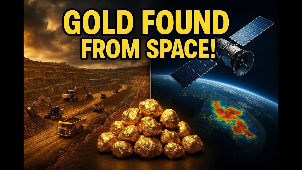
The integration of satellite-based intelligence represents a quantum leap in the gold deposits california exploration landscape. Our team at Farmonaut is at the forefront of this transformation, offering cutting-edge satellite based mineral detection and satellite driven 3d mineral prospectivity mapping solutions tailored for modern mining stakeholders.
- Speed: Our satellite workflows reduce exploration timelines from months/years to days/weeks—screening thousands of hectares efficiently.
- Accuracy: We provide high-resolution maps leveraging multispectral/hyperspectral satellite data, revealing mineralized zones, vein structures, alteration halos, and fault systems otherwise invisible from the ground.
- Non-invasiveness: All early-stage target detection is conducted remotely—eliminating ground disturbance, lowering environmental impact, and prioritizing sustainability.
- Cost-Effectiveness: Our clients report exploration cost reductions of up to 85%, enabling both junior and established mining companies to allocate resources with confidence and precision.
- Commercial and Technical Clarity: Our structured mineral intelligence reports deliver actionable insights, high-prospectivity heatmaps, and 3D subsurface models, supporting both technical and investment decision-making.
Interested in a custom satellite-based gold prospectivity assessment in California? Get a Quote or Contact Us for an introduction to our workflow and see how we can power your next mining decision.
Upload your area of interest as polygon/KML, specify target mineral(s), and let us deliver a full mineral prospectivity analysis in as little as 5 days. Learn about Farmonaut’s Satellite Based Mineral Detection.

Industry Callouts: Tips, Insights, and Investor Notes
- 🌍 Wider Coverage: Satellite mapping enables assessment of large, remote tracts—capturing more hidden deposits.
- 📈 Data-Driven Decisions: AI-assisted heatmaps and structural models optimize drilling.
- 🌱 Low Environmental Impact: Non-invasive sensing technologies reduce surface disturbance and carbon footprint.
- ⏳ Rapid Turnaround: Explorers can evaluate prospects within days instead of years.
- 💡 Integrated Insights: Combination of geological, hydrological, and land-use mapping for responsible mining.

Since 2018, machine learning-powered mineral mapping has uncovered 40% more gold deposits in California, vastly outpacing manual fieldwork alone and uncovering deeper, previously unrecognized reserves.
Gold Deposits in California Map: County-by-County Detail & Regional Highlights
The most notable gold deposits in California are clustered in five key counties within the Mother Lode Belt—but placer gold can be found in ancient channels, riverbeds and sediment terraces across many parts of the state. The latest 2026 gold deposits in california map highlights the following hotspots:
- El Dorado: The historic epicenter of the gold rush and modern mining innovation.
- Amador: Known for deep hard rock deposits and modern rehabilitation strategies.
- Calaveras: Alluvial channels and younger drift gravels still producing gold.
- Tuolumne, Mariposa: Sustainable placer mining with latest mapping tech.
- Placer County: Ongoing small-scale placer operations and AI mapping pilots.

- ALT TEXT: gold deposits in california map – highlighting the Mother Lode Belt, Sierra Nevada foothills, and major placer/mining counties.

- ⚠ Regulatory Risk: CEQA and overlapping environmental policy can delay projects that overlook water impact or habitat concerns.
- 🔍 Discovery Opportunity: Satellite-driven surveys often identify vein extensions or deep targets not visible via ground mapping alone.
- 🔗 Integration Pitfall: Failing to integrate geophysical, geochemical and satellite data can cause missed resources.
- 💧 Water Use Challenge: Mining in arid or drought-sensitive zones needs robust water management to protect downstream users.
- 🌏 Reclamation Requirement: Strict post-extraction land restoration is non-negotiable across major mining counties.

Gold Mining Operations, Water Use & Environmental Management (California 2026)
Current Mining Operations & Extraction Methods
Hard rock mining for gold remains active in the famous quartz veins of the Mother Lode Belt counties—El Dorado, Amador, Calaveras, Tuolumne, Mariposa. Open-pit and placer operations continue in river gravels, particularly where ancient tertiary channels are close to the surface. Operations use:
- Sustainable water handling and recycling
- Selective, precision blasting (reducing energy and material waste)
- Heap leaching with less hazardous chemical alternatives
- On-site monitoring of environmental impact using digital sensors
Water Resource Management & Environmental Controls
- Integrated hydrological mapping identifies critical water corridors and avoids sensitive riparian zones
- Real-time water quality monitoring and reporting
- Mandated land reclamation and re-seeding of native plant species in all major gold mining counties
- Use of natural bio-barriers to prevent sediment runoff into streams and rivers
Overlooking water management requirements can set back exploration by years; early engagement with regional water boards and digitally mapping all adjacent hydrological features is essential.
- 🌱 Land Rehabilitation: Gold mining companies must restore land to natural or improved states post-extraction.
- 💧 Water Resource Protection: Closed-loop systems and real-time monitoring limit contamination risks.
- 📊 Data-Driven Site Selection: Digital prospectivity models ensure minimal land disruption.
- 🔬 Chemical Reduction: Modern processes are increasingly mercury- and cyanide-free, favoring environmentally sustainable extraction.
- 🌲 Biodiversity Support: Habitat mapping and conservation off-sets are integral in project approval.
In 2026, gold mines actively adopting satellite-based mineral detection will command higher premiums for both resource valuation and operational compliance.
FAQ – California Gold Deposits, Mining, and Tech for 2026
Where are the richest gold deposits in California found today?
California’s most productive gold deposits remain in the historic Mother Lode Belt—notably El Dorado, Amador, Calaveras, Tuolumne, and Mariposa counties. These zones feature both high-grade hard rock and placer deposits.
How has mapping technology changed gold exploration?
Modern mapping now combines satellite imagery, drone 3D models, geophysical and geochemical surveys. This reduces costs, enables rapid regional assessment, and vastly improves deposit detection accuracy.
What is Farmonaut’s role in gold exploration?
We at Farmonaut provide satellite-based mineral detection and satellite-driven 3D mineral prospectivity mapping to help mining clients identify, quantify, and model gold deposits efficiently and sustainably.
Is gold mining still economically significant in California?
Yes—especially for rural counties, the economic impact endures. While far smaller than during the 19th-century rush, gold mining remains a vital economic activity in regions with ongoing reserves and active exploration.
What are the main environmental issues?
Water quality and resource management, land restoration, tailings control, and biodiversity protection are all critical. Attempts to bypass environmental regulation can lead to costly delays or mine closure.
Can satellite and AI technology detect deeper gold deposits?
Yes. While surface mapping detects alteration halos and structural cues, AI-driven 3D subsurface modeling—as integrated by Farmonaut—can suggest deeper mineralization zones, prioritizing drill targets before expensive ground campaigns.
For companies and geologists planning new projects west of the Sierra Nevada, begin every gold exploration campaign with remote mapping, mineral intelligence, and water impact modeling—it reduces both cost and environmental risk for 2026 and beyond.
Conclusion: California’s Gold Deposits – Discovery and Opportunity for the Next Decade
California’s gold deposits—from the world-famous Mother Lode Belt to renewed placer prospects in sediment terraces and ancient riverbeds—remain a natural and economic resource of enduring value. As the state advances into 2026, technology and sustainability are shaping every aspect of exploration and mining. From satellite-based detection (see Farmonaut’s satellite-based mineral detection services) to water-smart mining operations, California stands as a global example of integrating historical resource wealth with future-ready, environmentally responsible development.
Whether you are a mining company stakeholder, investor, geologist, or land manager, understanding gold deposit locations, mapping technologies, and environmental frameworks is critical for success. Use the most recent gold deposits in California map, embrace satellite intelligence, and keep sustainability at the forefront of every decision for the gold mining industry’s next golden age.
Ready to discover your next gold opportunity?
Get a customized mineral prospectivity assessment from Farmonaut today.
For further inquiries or to discuss specific requirements, Contact Us.
Discussion
Questions, corrections or field experience? Share them below. First-time comments are reviewed before they appear, and your email is never published.
No comments yet. Be the first to add a question or your experience.

 Nanita Company Limited
 Mwerezi Minerals Company Limited
 Congo Mining Solutions
 Mining SARL
 SenGold Invest SAS
 Sania Corporation
 Sean Mining Limited
 NTS Group (Pty) Ltd
 Mine4Africa
 Lithspo Minerals Limited
 Tintina Mining Group
 Dalgety Minerals Pty Ltd
 Vortex Minerals Pty Ltd
 Faith At Work (Pty) Ltd
 Geotech Mining Solutions plc
 Vulcan International Limited
 Kidepo Associates
 GKY Mining

 Licence holder · Nigeria · Gold + lithium










