Agriculture Navigation: 7 GNSS Hacks Farmers Swear By
Introduction: Agriculture Navigation & GNSS
In today’s rapidly evolving farming landscape, agriculture navigation stands as the cornerstone of modern, data-driven farm management. With the advent of Global Navigation Satellite Systems (GNSS), farmers worldwide have gained unprecedented power to map, monitor, and manage their fields with remarkable precision. By integrating GNSS and advanced technology, we, as farmers and agribusiness professionals, can optimize every aspect of our operations, from planting and input application to harvesting and resource allocation.
Precision agriculture utilizes GNSS and satellite technology for field-level management, enabling us to map fields accurately, monitor crop health, and precisely apply fertilizers or pesticides. This shift towards targeted, data-driven practices not only boosts efficiency and yields but also supports sustainability—minimizing environmental impact and conserving valuable resources.
With autonomous agricultural navigation systems and AI-driven platforms reshaping the industry, let us delve into the seven most vital GNSS hacks that have proven transformative for farmers across the globe.
Precision Agriculture and GNSS Integration
At the heart of modern agriculture navigation is precision agriculture, a sophisticated approach that harnesses GNSS for accurate field mapping, site-specific management, and targeted input application. GNSS in agriculture empowers us to collect vital location data and make evidence-based decisions, thereby reducing waste and improving both productivity and environmental sustainability.
- Efficient resource allocation: We can now allocate seeds, water, fertilizers, and pesticides precisely where they are needed, ensuring optimal crop growth.
- Real-time feedback: The integration of sensor data with satellite information provides real-time insights for timely interventions.
- Enhanced sustainability: By minimizing input waste and targeting application, our agricultural practices have a lower environmental impact.
Our collective adoption of GNSS technologies in farming is more than an efficiency upgrade; it is a paradigm shift toward sustainable agricultural practices that benefit our farms, communities, and planet.
The 7 GNSS Hacks Farmers Swear By
Let us explore the seven core GNSS applications (or “hacks”) that are driving the next revolution in modern farming. These practices form the backbone of precision agriculture and position GNSS as a central player in resource management, crop health monitoring technology, and autonomous farming technologies.
1. Accurate Field Mapping for Farmers
The foundation of GNSS in agriculture is field mapping. By leveraging satellite positioning, we generate precise field boundaries and identify variabilities in soil, topography, and historic crop performance.
- Benefit: Generate high-resolution field maps to inform zonal management and guide all subsequent interventions.
- How: Use GNSS receivers and farm management apps to map fields and log spatial data. For advanced mapping, tools such as the Farmonaut Agro-Admin App provide enterprise-level, large-scale farm management capabilities.
- Outcome: Enhanced accuracy when performing soil sampling, planting, and crop monitoring.
Example: By mapping fields with GNSS, we improve sampling strategies and target specific zones for nutrient management, which leads to improved crop growth and yields.
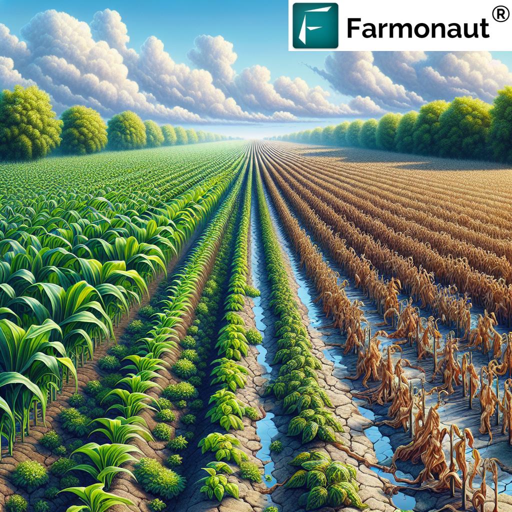
2. Smart Soil Sampling: Pinpoint Nutrient Variability
Effective soil sampling relies on geospatial accuracy. We use GNSS to identify variability and tailor sampling based on mapped zones.
- Benefit: Optimized addressal of nutrient deficiencies by capturing spatial variability within the field.
- How: Employ precision GPS devices to consistently revisit sampling points year after year, ensuring reliable baseline data.
- Outcome: Targeted nutrient management that reduces costs, minimizes waste, and supports sustainability.
For those seeking advanced analytics, Farmonaut’s Carbon Footprinting solutions leverage satellite imagery to help farms monitor both nutrient and environmental impact.
3. Variable Rate Application (VRA) in Farming
Modern input management means applying fertilizers and pesticides at variable rates—neither too much nor too little, but exactly what’s required, exactly where needed.
- Benefit: Maximize yields while reducing input costs and limiting environmental side effects.
- How: Data from sensors and GNSS-enabled equipment adjust machine settings in real time. This ensures that, for example, nitrogen is applied more abundantly to lower-performing zones and minimized in high organic matter regions.
- Outcome: Greater efficiency, improved resource management, and a measurable decrease in waste (with up to 15% reduction in fertilizer use see trivia below).
Learn more: For scalable, enterprise resource management with advanced reporting, Farmonaut’s Fleet Management tools streamline logistics and help farm businesses monitor usage, reducing operational costs throughout the season.
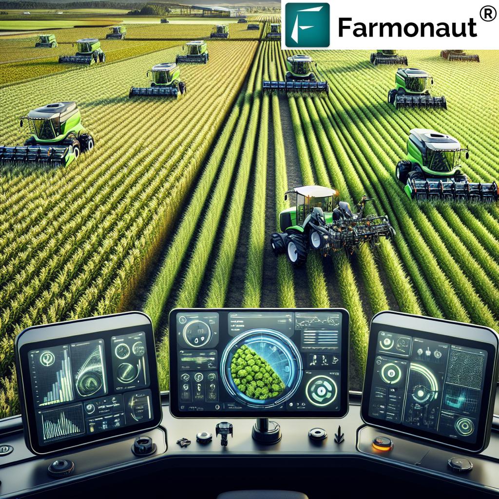
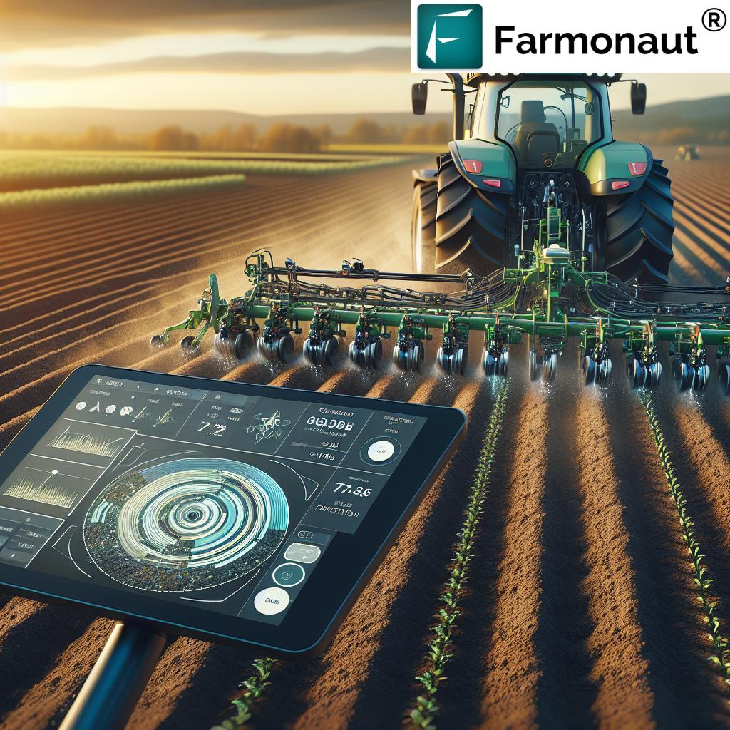
4. Automated Steering Systems in Agriculture
Say goodbye to overlapping passes, missed swaths, and inefficient fuel consumption. Automated steering systems in agriculture—driven by GNSS and GPS guidance—enable tractors and implements to follow set tracks with sub-inch accuracy.
- Benefit: Reduces operator fatigue, minimizes error, and allows 24/7 operation—even in poor visibility.
- How: Combine GNSS receivers with automated steering controls on machinery for precise field passes.
- Outcome: Lower fuel consumption, higher productivity, and more timeliness in seasonal tasks.
5. Precision Yield Mapping for Informed Decisions
Why average the performance of a whole field when every patch can tell a unique story? Precision yield mapping uses GNSS and on-the-go sensors during harvest to create detailed spatial yield maps.
- Benefit: Pinpoint yield variability within a field, helping us identify areas that require additional attention or resources.
- How: Combine GPS data from the harvester with sensors measuring crop flow, moisture, and other parameters.
- Outcome: Informed planning for future planting seasons, variable input allocation, and investments in field improvements.
For agribusinesses and institutional clients, Farmonaut’s Crop Loan & Insurance Verification utilizes satellite monitoring for reliable crop area and yield estimation, streamlining the financing process for farmers.
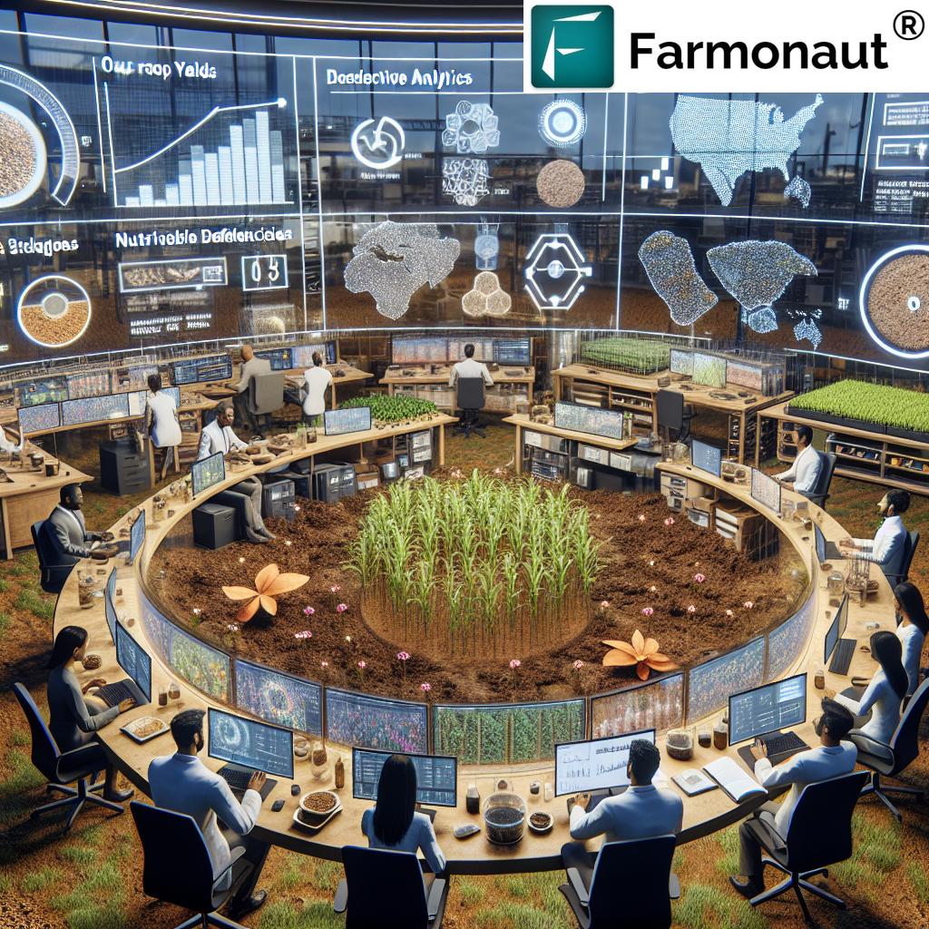
6. Real-Time Crop Health Monitoring Technology
Early detection of crop stress can mean the difference between a bumper crop and a season of losses. With GNSS-enabled sensors and satellite imagery, we can monitor crop health indicators—from chlorophyll levels to canopy temperature—in real time.
- Benefit: Allows early detection of diseases, pest infestations, or nutrient deficiencies, enabling timely intervention.
- How: Platforms like Farmonaut harness multispectral satellite imagery to deliver instant crop stress signals, vegetation indices (e.g., NDVI), and weather intelligence.
- Outcome: Reduce unnecessary pesticide application, increase yields, and conserve resources.
Get Real-Time Monitoring: Download the Farmonaut App to access real-time crop health insights on any device—Android, iOS, or browser.
7. Seamless Autonomous Operations and Timely Data Logging
The boundary of efficiency is redefined with the rise of autonomous farming technologies. Tractors, sprayers, and harvesters empowered by GNSS and AI work autonomously, logging every pass and action for our review.
- Benefit: Automation reduces dependence on skilled labor, increases precision, and supports 24/7 operation.
- How: Use satellite-guided robots and vehicles to perform repetitive and data-intensive field operations.
- Outcome: Consistent performance, reduced error, and integration with traceability systems for transparent supply chains.
Blockchain Integration: For supply chain transparency, see how Farmonaut’s Blockchain-Based Traceability ensures every product’s journey is recorded and verifiable—from planting to market delivery.


Key GNSS Applications in Agriculture: Features & Estimated Benefits
| GNSS Application | Purpose in Farming | Estimated Efficiency Gain (%) | Estimated Cost Savings (%) | Impact on Sustainability | Real-World Example |
|---|---|---|---|---|---|
| Field Mapping | Define precise field boundaries, identify soil variability | 10–15% | 10–12% | Reduced over-application, prevents soil erosion | Use GNSS for grid soil sampling & field layout |
| Precision Planting | Plant seeds at consistent spacing/depth | 8–12% | 6–10% | Optimizes input use, boosts germination rates | GNSS-guided seed drills |
| Autonomous Tractor Guidance | Automate machinery passes with sub-inch accuracy | 12–20% | 10–15% | Minimizes fuel & time, reduces soil compaction | GNSS-enabled auto-steer systems |
| Variable Rate Application | Apply fertilizers/pesticides at variable rates | 10–20% | 12–18% | Reduces chemical runoff and input waste | VRA sprayers & spreaders |
| Yield Mapping | Monitor crop yield variability during harvest | 8–15% | 6–12% | Targeted improvements in future seasons | GNSS combine harvester sensors |
| Soil Sampling | Locate precise sampling points for nutrients | 8–10% | 10–13% | Minimizes fertilizer over-use | GNSS-based grid/zone sampling |
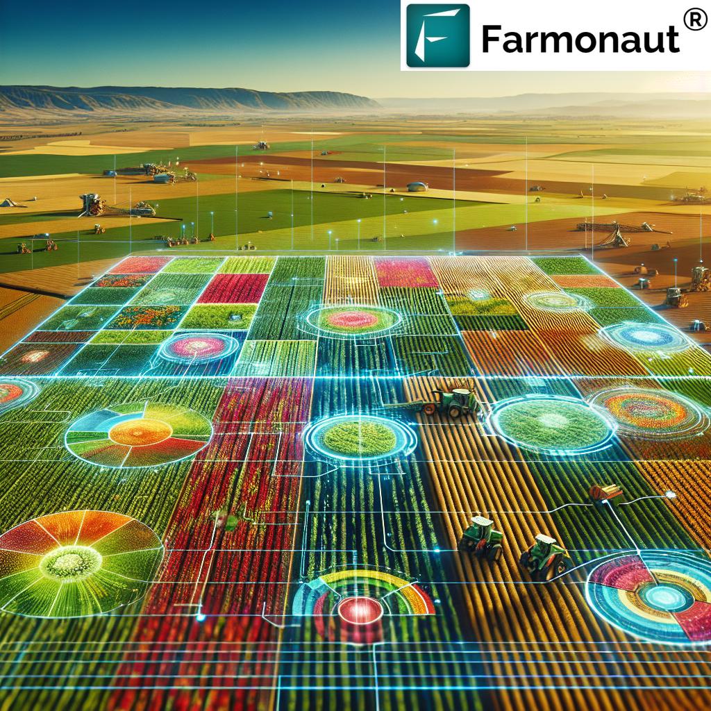
Advancements in Autonomous Agricultural Navigation
The fusion of GNSS with AI and autonomous farming technologies has unlocked new possibilities for precise operations in the field. Where once our efforts were bound by human error and logistical delays, autonomous navigation systems now enable timely planting, harvesting, and weeding with minimal intervention.
- Hands-Free Equipment: Autonomous tractors and sprayers follow pre-programmed paths, ensuring consistent rates and reducing operator downtime.
- Robotic Weeders: Advanced units combine computer vision with GNSS to target weeds without harming crops, drastically minimizing chemical usage.
- Data Integration: Every pass, rate, and yield value is logged for traceability, compliance, and trend analysis.
For Complete Transparency: Discover Farmonaut Traceability solutions for secure, blockchain-powered food supply chains—ensuring consumer trust and enhanced agricultural branding.
Farmonaut: Revolutionizing Satellite-Based Farm Management
As users of precision agriculture platforms, we are constantly seeking tools that offer reliable, actionable insights without the headache of excessive hardware investments or technical setup. This is where Farmonaut shines—a global leader in satellite-based agricultural management solutions designed to make precision farming accessible to farms of any scale.
- Real-Time Crop Health Monitoring: Farmonaut uses multispectral satellite imagery to assess vegetation health, soil moisture, and canopy stress, enabling effective crop health monitoring technology for timely decisions.
- Jeevn AI Advisory System: Delivers personalized, AI-driven advice on crop care, weather, and sustainable interventions, helping us adapt to changing conditions rapidly.
- Blockchain Traceability: Secure, transparent recording of every farm operation ensures food safety and market trust.
- Fleet & Resource Management: Optimize machinery use, reduce fuel, and schedule logistics for cost savings (see Fleet Management).
- Carbon Footprinting: Track and minimize the farm’s environmental impact to support sustainable agricultural practices. Explore more about this advanced monitoring at Farmonaut Carbon Footprinting.
- API and Developer Access: Integrate Farmonaut’s satellite, weather, and yield intelligence into your own software with Farmonaut API and Developer Docs.
Whether we manage a few hectares or oversee multinational plantations, Farmonaut’s affordable, subscription-based platform keeps us connected to the latest in field mapping, crop monitoring, and resource optimization.
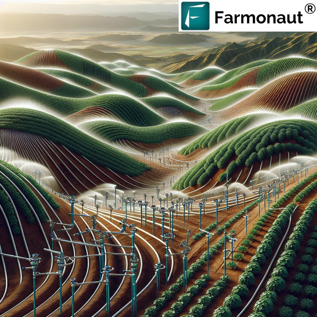
Sustainable Agricultural Practices Enabled by GNSS
Sustainability in agriculture is more than a buzzword—it is our commitment to preserving natural resources while ensuring robust food production. GNSS technologies aid us by:
- Reducing fertilizer and pesticide waste through variable rate application (VRA) and site-specific management.
- Minimizing fuel consumption using automated steering systems in agriculture.
- Lowering the carbon footprint with optimized field operations.
- Tracking and optimizing water use by integrating weather, soil, and crop status.
Achieve your climate-smart farming goals with Farmonaut’s advanced features—learn more about our sustainability offerings under Carbon Footprinting.
Seamless data integration through API access ensures that even developers and agritechs can build custom solutions for precision agriculture. Access our satellite weather & field data API and review our API developer documentation for integration guidelines.
Want mobile access? Try our Farmonaut crop plantation and forest advisory tools and take smart field navigation wherever you go!
Challenges and Future Outlook in Agricultural Navigation
While the benefits of GNSS-driven agricultural navigation systems are immense, challenges remain, including:
- High Initial Costs: Advanced GNSS devices and autonomous equipment may be cost prohibitive for small farms, though affordable subscription models (as provided by Farmonaut) are closing this gap.
- Technical Complexity: As systems become more sophisticated, there is a growing need for training and digital literacy among farmers.
- Data Privacy & Security: With more data flowing between devices, secure traceability and privacy become critical concerns, addressed by blockchain-powered systems like those in Farmonaut’s suite.
Looking ahead, the future of agricultural navigation is bright:
- Expanded AI and Machine Learning: These technologies will further refine decisions and automate operations, unlocking greater accuracy and efficiency.
- Affordability & Accessibility: Subscription-based models and web/mobile apps enable even smallholder farmers to adopt precision agriculture and GNSS integration worldwide.
- Wider Adoption of Autonomous Systems: As more farms integrate autonomous tractors, drones, and robots, overall sector productivity and sustainability will rise.
FAQs on GNSS in Agriculture & Farming Navigation
What is GNSS and how does it benefit modern agriculture?
GNSS (Global Navigation Satellite System) refers to a constellation of satellites providing geo-spatial positioning. Its use in agriculture enables precise field mapping, variable rate application of inputs, automated steering, and real-time crop monitoring, transforming efficiency and sustainability in farming.
How can small-scale farmers access GNSS-powered precision agriculture?
Affordable, app-based platforms like Farmonaut now offer satellite-based crop monitoring and field management without the need for heavy hardware investment—making precision agriculture accessible to all.
What’s the difference between GPS and GNSS in agriculture?
GPS is part of the broader GNSS ecosystem. GPS relies on U.S. satellites; GNSS can access multiple constellations (e.g., GLONASS, Galileo), providing more accurate, reliable, and global coverage for agricultural applications.
How does GNSS help reduce input costs and environmental impact?
Variable rate application in farming—driven by GNSS field data—ensures we apply fertilizers and pesticides only where needed, reducing waste (often up to 15%) and minimizing runoff or pollution.
Can GNSS support full automation in farming operations?
Absolutely. GNSS enables autonomous tractors and robots to follow precise paths, reduce overlap, and log all data automatically for better management and traceability.
What is crop health monitoring technology and how is it used?
This refers to the use of satellite sensors and GNSS-based platforms (like Farmonaut) to track crop stress, disease, and nutrient needs, so that farmers can intervene with targeted solutions at the optimal time.
How can I try Farmonaut’s advanced GNSS-powered solutions?
Simply download the Farmonaut app for Android, iOS, or web, or access Farmonaut’s APIs and developer docs to embed our satellite intelligence into custom farm management platforms.
Conclusion
We are standing at the frontier of a new agricultural revolution, powered by the seamless integration of GNSS, precision agriculture techniques, and autonomous farming technologies. From mapping soil variability to guiding autonomous machines and logging yields, these seven GNSS hacks are transforming every aspect of field management, resource allocation, and sustainable farm practices worldwide.
With Farmonaut, our farms are not only becoming more efficient and productive, but we are also ensuring that our agricultural practices are environmentally responsible and future-ready. Let us embrace these advancements, equipping ourselves with the best in agricultural navigation for a sustainable, profitable, and resilient farming future.
Discover how Farmonaut empowers farmers with satellite-driven, AI-powered agricultural navigation and resource management—unlocking a smarter way to farm, today and tomorrow.