Drone Mapping Agriculture: 2025 Software & App Trends
“By 2025, over 60% of large farms worldwide are projected to use drone mapping software for precision agriculture.”
Table of Contents
- Introduction to Drone Mapping Agriculture in 2025
- The Evolution of Drone Mapping in Agriculture
- Core Drone Agriculture Mapping Software & Apps Trends for 2025
- Drone Filming for Agriculture Mapping: Trends and Benefits
- Comparison Table: Leading Drone Mapping Agriculture Software & Apps (2025)
- How Agriculture Mapping Apps Are Democratizing Precision Farming
- Soil Mapping in Agriculture: Precision Approaches via Drones
- Farmonaut: Advancing Satellite-enabled Farm Management & Sustainability
- Future Outlook: What’s Next for Drone Mapping Agriculture?
- FAQ: Drone Mapping Agriculture Trends & Solutions
Introduction to Drone Mapping Agriculture in 2025
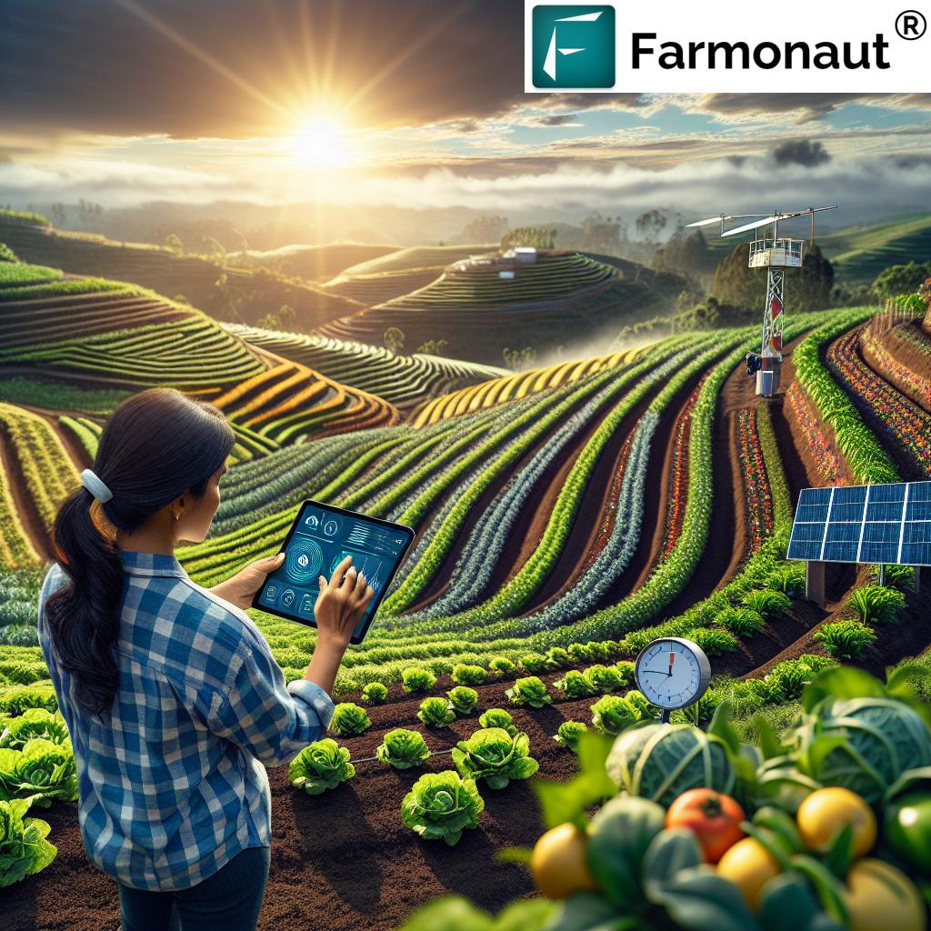
Drone mapping agriculture is at the forefront of the technological revolution reshaping global farming and forestry practices. In 2025, new drone agriculture mapping software, smart mapping apps, and advanced sensors enable us to capture, analyze, and act on data from our fields with unprecedented precision and timeliness. This shift is poised to boost crop health, soil mapping accuracy, and sustainable management for both large commercial farms and diverse smallholder operations worldwide.
Precision agriculture is no longer a distant vision; it has matured into an accessible, results-driven reality. Through unmanned aerial vehicles (UAVs), high-resolution cameras, and powerful agriculture mapping applications, farmers and foresters can monitor land, manage resources, and anticipate threats—supporting resilience and yield increases in the face of climate and market challenges.
The Evolution of Drone Mapping in Agriculture
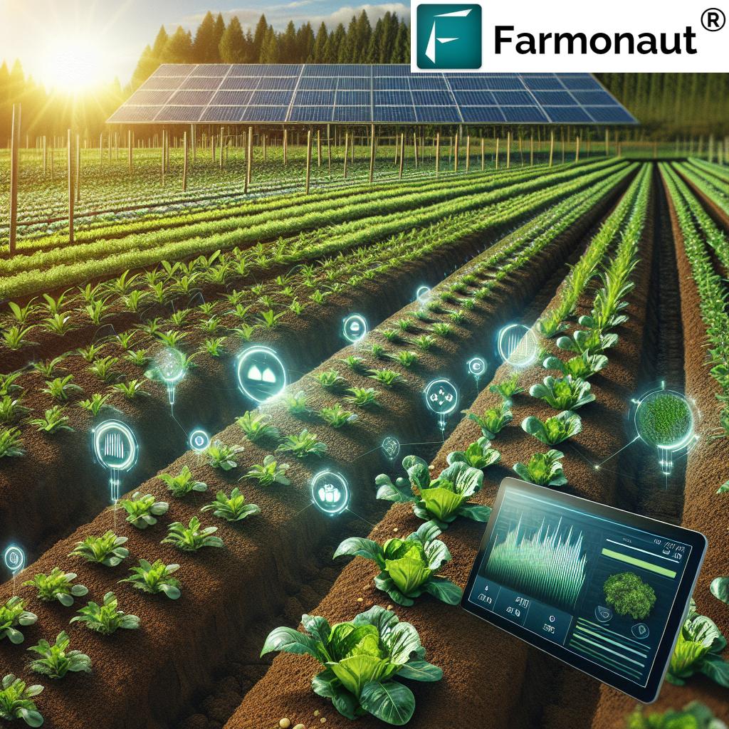
Drone mapping in agriculture involves the use of UAVs equipped with specialized cameras and sensors to capture detailed aerial imagery over agricultural and forestry lands. These drones—often launched and controlled via intuitive apps—allow for targeted, on-demand flights over farmlands, forests, and other remote areas, providing a level of data resolution that traditional satellite imagery simply can’t match.
How Drone Mapping Works:
- Mission Planning: Using a drone agriculture mapping software or mapping app, the operator plots the flight path(s) over the fields or desired zones. This phase ensures efficient, safe, and full coverage.
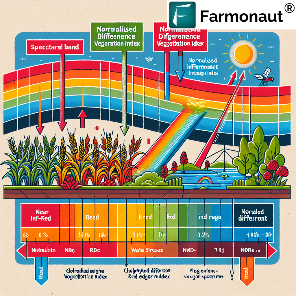
- Aerial Data Capture: The drone/UAV, equipped with RGB, multispectral, hyperspectral, or thermal cameras, flies autonomously along its programmed route, capturing imagery and sensor data at various altitudes and intervals.
- Data Processing: Advanced mapping platforms quickly stitch together thousands of images and sensor inputs into georeferenced orthomosaic maps, elevation models, NDVI indices, and 3D reconstructions.
- Actionable Outputs: Algorithms—often driven by AI and machine learning—analyze these data products to reveal crop health, soil conditions, water stress, pest infestations, and field variability.
The higher resolution (often sub-5cm per pixel) and flexibility of drone flights (timely, on-demand mapping) empower farmers to monitor development, identify issues, and implement corrective actions before problems escalate. Unlike satellite imagery, drone mapping is not hindered by cloud cover or satellite overpass schedules, further enhancing its effectiveness for precision agriculture and resource management.
Core Drone Agriculture Mapping Software & Apps Trends for 2025
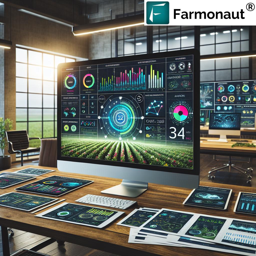
The real power of drone mapping agriculture in 2025 lies in the integration of high-resolution aerial data with specialized mapping software and advanced agriculture mapping apps. As hardware has matured, the focus has shifted toward intelligent platforms that process, analyze, and deliver actionable insights directly to mobile devices and farm management systems.
Key Capabilities of Leading Software & Apps:
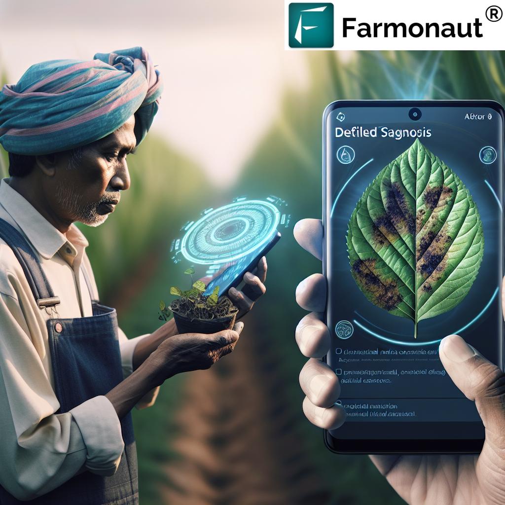
- NDVI & Vegetation Index Mapping: Software quickly processes batches of images to deliver normalized difference vegetation index (NDVI) outputs, revealing crop health, water stress, vigor, and pest or disease damage down to the square meter.
- Soil Mapping in Agriculture: Apps capable of filtering spectral and thermal data to identify nutrient deficiencies, moisture levels, and compaction zones for targeted interventions and sustainable management.
- Elevation & Terrain Analysis: Generation of digital elevation models (DEM), 3D terrain reconstructions, and drainage maps for improved irrigation system planning, erosion monitoring, and infrastructure layout.
- AI-driven Analytics: Built-in machine learning algorithms to detect weed patches, assess plant density, monitor crop development, and recommend zone-specific actions in real time.
- Cloud-Based and Mobile Integration: Accessible across desktop and mobile platforms, with cloud storage ensuring seamless data sharing and collaboration (even supporting large scale farm management solutions).
- Integration with Farm Management Systems: Enabling data-driven planning for fertilizer application, pest control, irrigation scheduling, and sustainable compliance. For example, tracking carbon footprinting or fleet usage for environmental and operational optimization.
In 2025, AI-powered drone agriculture mapping software becomes even more accessible, user-friendly, and easily integrated with diverse sensor types and drone models, ensuring farmers of any scale can monitor, analyze, and take action—without being data scientists or GIS experts.
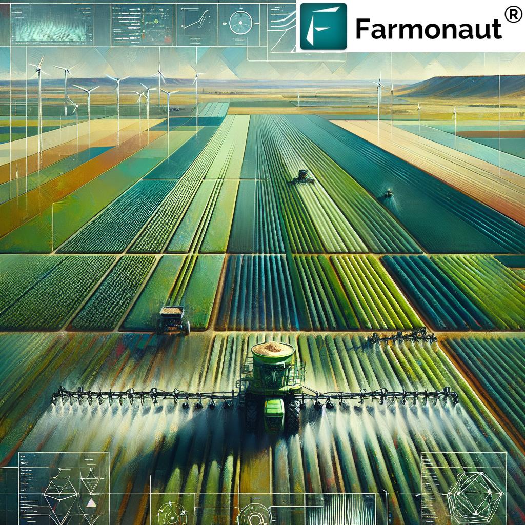
Drone Filming for Agriculture Mapping: Trends and Benefits
Alongside mapping, drone filming for agriculture mapping in 2025 brings dynamic monitoring and visualization of crop development, resource allocation, and landscape changes. By capturing high-definition video footage during mapping flights, agriculture professionals and foresters gain unique virtual walk-throughs, enabling remote scouting and analysis.
- Time-Lapse Monitoring: Track the full growth cycle of crops, capturing subtle changes week-by-week for early intervention.
- Virtual Field Inspections: Facilitates remote advisory and collaborative management even for global farm operations.
- Thermal and Multispectral Insights: Thermal and multispectral cameras allow for detection of water stress and disease outbreaks before visible symptoms occur.
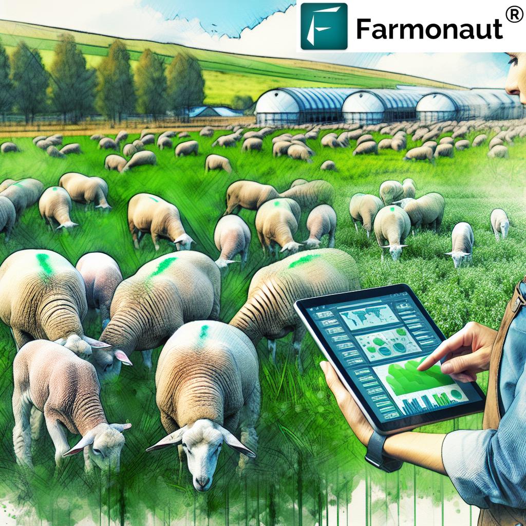
- Wildlife and Livestock Tracking: Improve livestock and wildlife management in mixed or forested agricultural zones.
These video-based techniques complement static mapping, providing another layer of actionable data for tailored, site-specific interventions and improved resource efficiency.
“Agriculture mapping apps can process up to 500 acres of crop data in under 30 minutes using advanced algorithms.”
Comparison Table: Leading Drone Mapping Agriculture Software & Apps (2025)
Drone mapping agriculture continues to expand in 2025, with the following top software and apps offering a range of features tailored to modern farming, soil mapping, and sustainable management. The table below compares these solutions for quick, informed decision-making.
| Software/App Name | Key Features | Compatibility | Estimated Price Range | User Ratings (Est.) | Unique Benefits |
|---|---|---|---|---|---|
| Farmonaut |
– Satellite-based real-time crop & soil health (NDVI, soil moisture, 3D terrain) – Soil moisture mapping, AI advisory, blockchain traceability, real-time alerts – Fleet and resource management, carbon footprinting |
Any device (Web/Android/iOS); satellite mapping integration (drone data import supported) | $/hectare; affordable subscription (see plans) | 4.7/5 | Sustainability tools, detailed compliance support, multi-farm scalability |
| DroneDeploy (2025) |
– Automated flight planning – AI-driven plant population, stand counts, NDVI & elevation – Custom drone integration |
DJI, Parrot, Skydio, Web, Android, iOS | $100-$400/month; enterprise custom | 4.6/5 | Fast cloud processing, strong drone compatibility, industry integrations |
| Pix4Dfields |
– Rapid in-field orthomosaics, vegetation indices, soil & prescription maps – Plant health analytics |
DJI, senseFly, Parrot, Windows, MacOS | $1500/year | 4.5/5 | Offline capabilities, variable rate mapping, professional proccessing |
| Agisoft Metashape |
– High-resolution 3D models, digital terrain, volumetric analysis – Custom scripting (Python) |
Windows, MacOS, Linux | $300-$3500 (license) | 4.3/5 | Detailed terrain, high-res photogrammetry, R&D flexibility |
| Sentera FieldAgent |
– Multispectral, thermal & RGB data analysis – Precision crop & weed scouting |
DJI, select fixed-wing drones, Web, iOS, Android | $0-$999/year (modules) | 4.4/5 | Real-time collaboration, actionable scout reports |
| Slantrange Edge |
– Rapid crop stress, anomaly & emergence mapping – Embedded analytics at the edge of the field |
Proprietary hardware & app, Web | Contact for pricing | 4.2/5 | Edge computing, no connectivity needed in-field |
| Micasense Atlas (2025) |
– Advanced multispectral mapping, calibration tools – Long-term crop and soil tracking |
Web, integrates with DJI & fixed-wing drones | $2000+/year (estimated) | 4.6/5 | Scientific accuracy, research-grade analytics |
How Agriculture Mapping Apps Are Democratizing Precision Farming
Perhaps the most profound trend in drone mapping agriculture for 2025 is the rise of agriculture mapping apps designed for mass adoption. Where once mapping required expert skills and expensive hardware, today’s apps place powerful mapping, analysis, and reporting tools directly into the hands of farmers, agribusinesses, and forestry managers worldwide.
Key Ways Mapping Apps Empower Users:
- Intuitive Flight Planning: Seamlessly plan complex mapping or filming missions with simple taps or drag-and-drop interfaces, suitable for all levels of technical expertise.
- Automated Data Collection: Apps coordinate with drones or satellite feeds, queueing missions, capturing imagery, and synchronizing results automatically—even in remote areas.
- Offline Functionality: Modern drone agriculture mapping apps allow operations in connectivity-limited regions by storing data locally and syncing when a connection becomes available.
- Real-time Crop Health & Alerts: Receive automated notifications for water stress, pest infestations, and soil conditions across specific zones, enabling timely intervention.
- Integration with Farm Management: Direct invocations of fertilizer, irrigation, fleet management, and scheduling tasks for complete operational oversight.
- User-friendly Reporting: Generate pixel-accurate maps, 3D models, and compliance-ready documents formatted for both mobile and web.
As a result, precision farming continues to scale globally, irrespective of field size or local technical barriers. The integration of mapping apps with satellite-based tools (like those offered by Farmonaut) ensures coverage even where drone flights are impractical.
Soil Mapping in Agriculture: Precision Approaches via Drones
Soil mapping in agriculture is one of the fields most thoroughly transformed by aerial mapping and innovative data analysis. Traditional soil surveys were labor-intensive, slow, and covered limited areas, often resulting in partial or outdated information. In contrast, drone mapping integrated with advanced sensors and software provides rapid, detailed, scalable soil maps to precisely inform sustainable management.
Drone Sensors and Their Role in Soil Mapping:
- Multispectral Sensors: Detect subtle variations in soil color and reflectance, indicating nutrient status, salinity, and organic matter content.
- Thermal Cameras: Highlight differences in soil moisture, compaction, and drainage efficiency—crucial for optimizing irrigation and preventing crop stress.
- LIDAR & Hyperspectral: Allow for topographic modeling, erosion risk analysis, and crop-plant/soil interaction mapping.
The resulting soil maps support a range of critical applications in precision agriculture:
- Variable Rate Application: Apply different amounts of fertilizer or water in different zones, boosting yields and reducing input waste.
- Early Stress Detection: Identify compacted, waterlogged, or degraded areas before they affect yields.
- Sustainable Management: Pinpoint erosion or degradation hotspots, prioritize conservation, and track carbon sequestration initiatives.
- Integrating Soil & Crop Data: Combined, soil and crop health data drive true predictive analytics. For instance, linking NDVI maps to soil zones supports targeted replanting or tailored advisory interventions—similar to Farmonaut’s AI-based advisory system.
Digital mapping of soil in agriculture supports not just higher productivity, but also greater sustainability, compliance, and profitability for farmers and agribusinesses.
Farmonaut: Advancing Satellite-enabled Farm Management & Sustainability
As the world of drone mapping agriculture and soil mapping matures, we at Farmonaut remain focused on democratizing precision agriculture for all. Our advanced, satellite-based mapping technology and AI-driven advisory systems support farmers, agribusinesses, governments, and NGOs in optimizing crop health and resource management around the globe.
Our Platform’s Capabilities:
- Real-time Satellite Crop & Soil Health Tracking: With NDVI, soil moisture, elevation, 3D terrain, and stress indices mapped regularly via our platform, users can make informed, timely management decisions.
- AI-Powered Advisory (Jeevn AI): Our system analyzes field-level data to provide personalized evidence-based recommendations, including weather forecasts and crop management strategies.
- Blockchain Traceability: Full product traceability for seamless, transparent sustainability compliance from farm to end-consumer.
- Fleet and Resource Management: Streamline tractor, harvest, and transport operations to cut costs and reduce emissions (see our Fleet Management Module).
- Carbon Footprint Tracking: Detailed, real-time carbon emissions analysis for each farm or business.
- API Integrations: Developers and agribusinesses can build upon our APIs and developer docs to integrate satellite and mapping data into their own systems.
- Supporting Sustainable Financing: Satellite-based crop verification for loans and insurance ensures access to capital and risk mitigation for farmers.
-
Multi-platform Accessibility: Use our services via
 ,
,  , or
, or 
Our mission is to make precision agriculture accessible and affordable by harnessing technology and data-driven insights—empowering every farm, business, or organization to monitor development, optimize resources, and promote truly sustainable practices.
Subscription Plans and Flexibility
Serving everyone from smallholders to corporate enterprises, Farmonaut offers scalable, subscription-based plans supported via web, mobile apps, and powerful API integrations.
Future Outlook: What’s Next for Drone Mapping Agriculture?
Looking beyond 2025, the entire drone mapping agriculture ecosystem continues to evolve alongside other breakthrough digital technologies. The integration of drones, satellites, in-field IoT sensors, blockchain, robotics, and advanced AI will further:
- Increase Food Security: Identification and resolution of yield threats in near real time supports growing populations and reduces waste.
- Promote Sustainability: Trace every farm input and output via blockchain, track carbon footprint, and implement best practices to mitigate environmental impacts.
- Enable Data-driven Lending & Insurance: Integration with APIs and farm management platforms empowers banks and insurers to verify claims, streamline loans, and de-risk agriculture (see our crop loan & insurance solutions).
- Accelerate Forest and Conservation Management: Drones and apps will play a vital role in mapping, managing, and protecting forested areas and biodiversity.
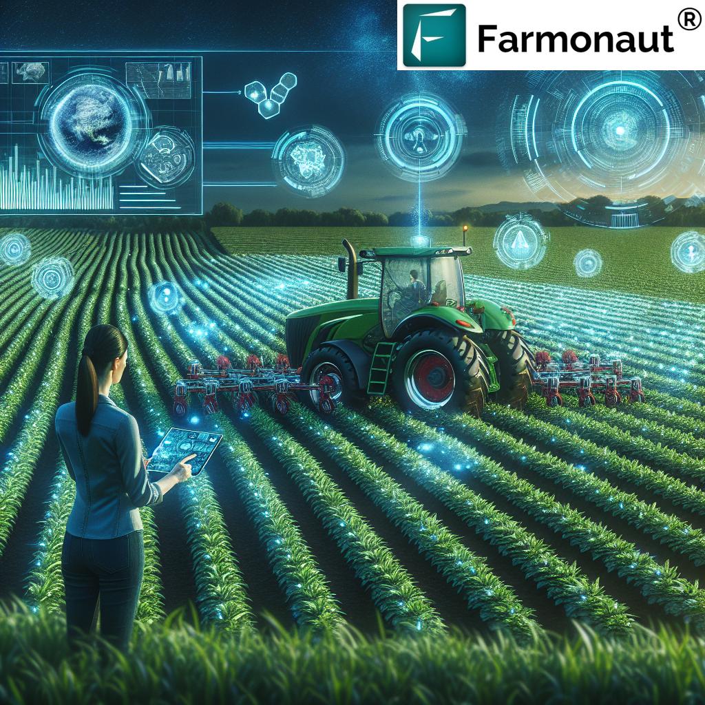
- Scale Autonomy in Agriculture: Advancements in AI and automation will allow for fully autonomous aerial mapping, input application, and field monitoring.
The future of precision agriculture is more connected, transparent, sustainable, and inclusive than ever before. Drone mapping agriculture will remain central to these trends—empowering every stakeholder to make better decisions, maximize productivity, safeguard nature, and build a resilient food system for generations to come.
FAQ: Drone Mapping Agriculture Trends & Solutions (2025)
What is drone mapping agriculture and why is it important?
Drone mapping agriculture involves using UAVs equipped with cameras and sensors to collect high-resolution imagery and data from fields. This process enables the creation of actionable maps for crop health, soil conditions, water stress, and pest management, supporting precision and sustainability in land management.
What types of data can modern drone agriculture mapping software process?
In 2025, leading software can process NDVI and other vegetation indices, digital elevation models, 3D terrain reconstructions, soil moisture and nutrient maps, pest and weed identification data, and high-definition video for dynamic monitoring.
How do agriculture mapping apps help smallholder farmers?
Agriculture mapping apps provide intuitive tools for flight planning, data collection, analysis, and reporting—without requiring deep technical skills. They democratize access to precision insights, enabling tailored interventions for every zone of a field, and are compatible with mobile devices for remote and offline use.
What are the main advantages of drone filming for agriculture mapping?
Drone filming captures HD video and multispectral footage, enabling time-lapse monitoring of crop development, virtual field inspections, and early detection of water stress and disease via thermal sensors—offering deeper decision-making insights beyond static maps.
Can drone mapping software be integrated with other farm management systems?
Yes. Top solutions—including Farmonaut—offer API integrations and interoperability with third-party farm management platforms, enabling seamless data sharing for tasks such as fertilizer application, fleet management, traceability, and compliance reporting.
How does soil mapping in agriculture using drones differ from traditional surveys?
Drone-based soil mapping is faster, more detailed, and can cover much larger areas at lower cost. It provides continuously updated insights on soil moisture, nutrient variability, and compaction, helping to drive variable rate applications and improved sustainability.
How can I get started with Farmonaut’s mapping and sustainability solutions?
You can use Farmonaut’s Web App, Android App, or iOS App for mobile mapping and real-time crop monitoring. For business and research integrations, explore our API and developer documentation.
Take your farm management to the next level with powerful mapping, sustainability, and resource tools:
Summary: The Era of Data-drivenness in Modern Farming
In the accelerating landscape of drone mapping agriculture, 2025 stands as the definitive year of transformation. Drones, advanced mapping software, and smart agriculture mapping apps have revolutionized crop health monitoring, soil mapping, irrigation planning, and sustainable farm management across all scales of agriculture and forestry.
The integration of precise aerial data, machine learning, and actionable insights enables timely, zone-specific management—improving yields, cutting costs, and protecting the environment. Apps and platforms like Farmonaut, with powerful satellite, AI, and blockchain technologies, elevate both accessibility and effectiveness, promoting global adoption and impact.
As we chart the future of sustainable food systems and climate-resilient landscapes, drone mapping agriculture and precision technologies will remain at the heart of innovation. The tools are ready—and the future of farming has never looked brighter.